
Table of Contents
For a beginner planning a self-guided hike, the most crucial element is a well-prepared route.
Waymarked trails make navigation much simpler thanks to trail markers every 100–200 m, while the detailed trail guides make hitting the trail far more accessible. Such routes contribute greatly to the development of outdoor tourism in Russia.
To get a better sense of the beauty that awaits you, watch the video!
The most extensive trail-marking project in Russia is Rutrail. In 2022, they blazed the northernmost trails above the Arctic Circle, near Lake Imandra on the Kola Peninsula. In 2023, I spent 5 months on the Kola Peninsula exploring the region and hiked the marked trails 4 times: on skis in March, on foot in early July, and twice more on foot in September.
My broader mission is to develop the Kola North and outdoor travel within the Russian-speaking community, which is why I collaborate with our friends at Visit.Imandra, a regional development project; they initiated the trail blazing, for which they deserve huge credit.
Routes
Rutrail has marked 6 trails. Five of them lie south of Monchegorsk with durations ranging from 1 to 3 days, and one is 5 km west of the city. Some routes start right from the city, while the rest can be reached by taxi for 200–500 RUB.
Viking Trail 48 km, elevation change: +1,176 m and -1,176 m, 1–3 days on foot, two peaks: Vurechuaivench (470 m) and Nyuduayvench (465 m).
Trail of Power 12.4 km, elevation change: +433 m and -433 m, 5–8 hours on foot, highest point: Mt. Nyuduayvench (465 m).
Geologists' Trail 4.9 km, elevation change: +68 m and -68 m, 2–3 hours on foot.
Health Trail 7 km, elevation change: +350 m and -350 m, 3–5 hours on foot, highest point: Mt. Nyuduayvench (465 m).
Ravens' Trail 5.7 km, elevation change: +310 m and -310 m, 3–5 hours on foot, highest point: Mt. Vurechuaivench (470 m).
Nittis Trail 5 km, elevation change: +359 m and -359 m, 3–5 hours on foot, highest point: Mt. Nittis (618 m).
Directions and travel info are easily accessible on the Visit.Imandra travel portal.
Day 1, Viking Trail
Viking Trail — 48 km, elevation change: +1,176 m and -1,176 m, 1–3 days on foot, two peaks: Vurechuaivench (470 m) and Nyuduayvench (465 m).
July 3, 2023.
Average temperature: daytime +15 to +20°C, nighttime +10 to +15°C.
Wind: from calm to gusts up to 12 m/s.
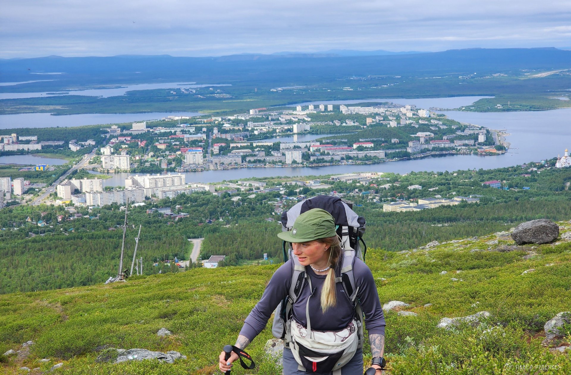
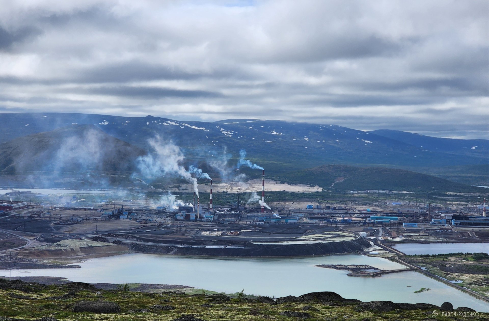
Despite the overcast sky and wind, the weather is warm — +18°C. Packing only warm clothes and being unprepared for heat above the Arctic Circle is a common mistake, as is failing to prepare for sudden cold snaps. Such is the northern climate — fickle. You need an apparel system for a wide temperature range, regardless of the month or forecast.
We carried enough water for the first 5 km, planning to refill from a small brook along the way, marked on the map.
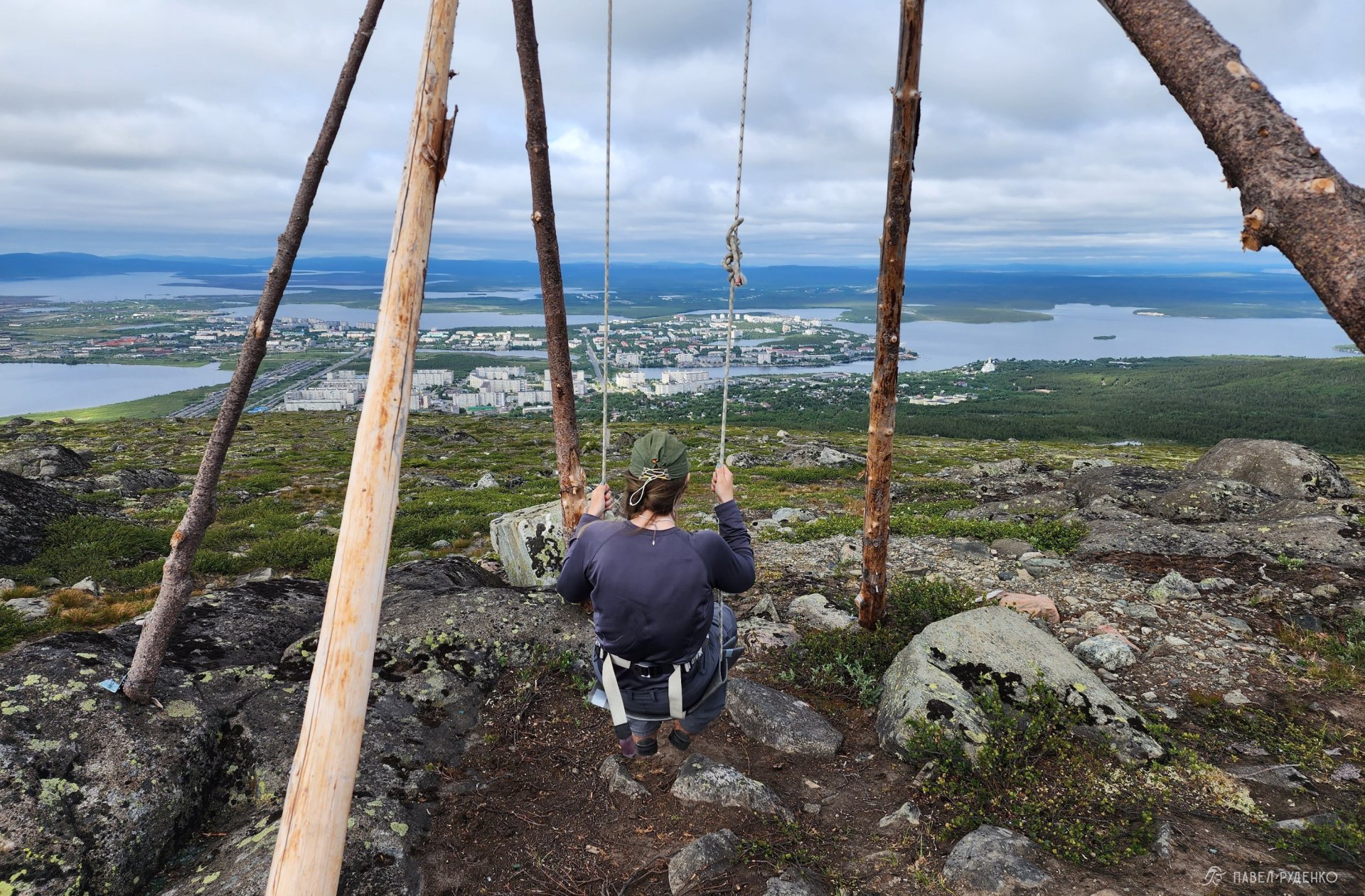
The summit offers a stunning view of the city, two ski slopes, and the Nornickel plant.
The plant is the city's cornerstone industry; Monchegorsk was originally built around it from scattered local villages. In the 1990s, the environmental situation left much to be desired, and nature was damaged within a 5 km radius. However, new filters were installed at the plant, and even over the past 7 years, I've watched nature recover significantly. You shouldn't pick berries or mushrooms on the slopes closest to the plant, but otherwise, nature is pristine.
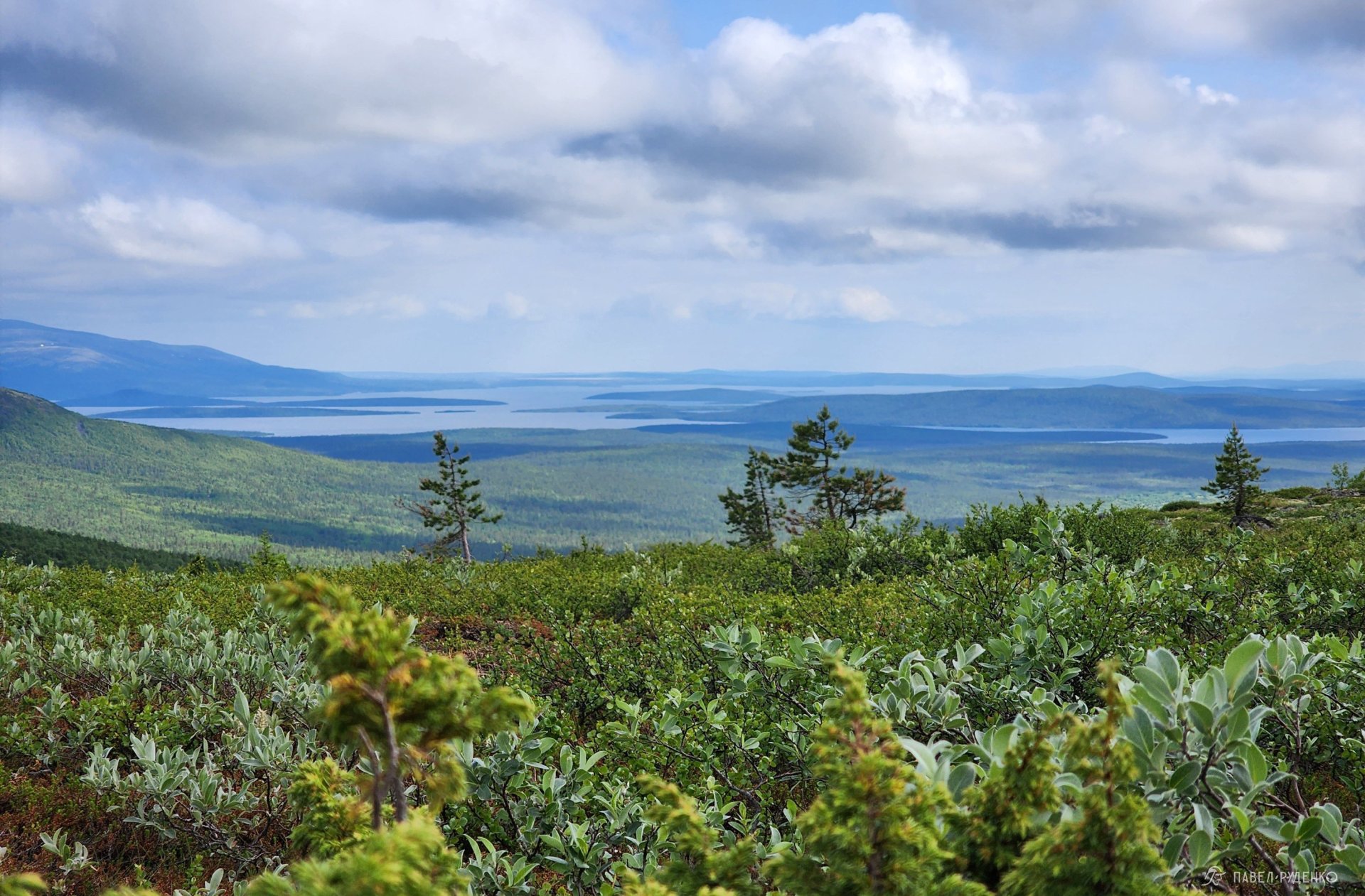
There is a swing set up on the mountain; slip a sit pad under you so you don't freeze your rear end)) We move across a beautiful tundra plateau as northern expanses open up to the east. From an aesthetic standpoint, I’d pitch camp right here — flat spots abound, you just need to pack enough water for dinner and breakfast.
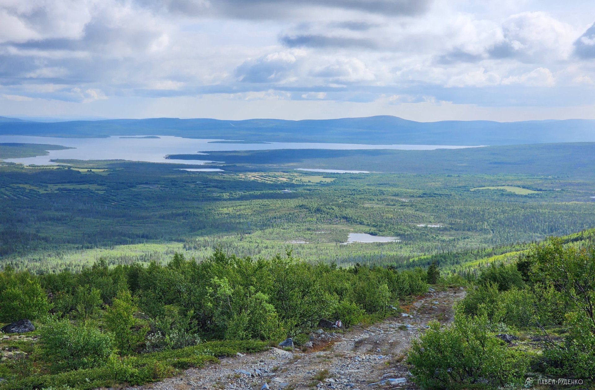
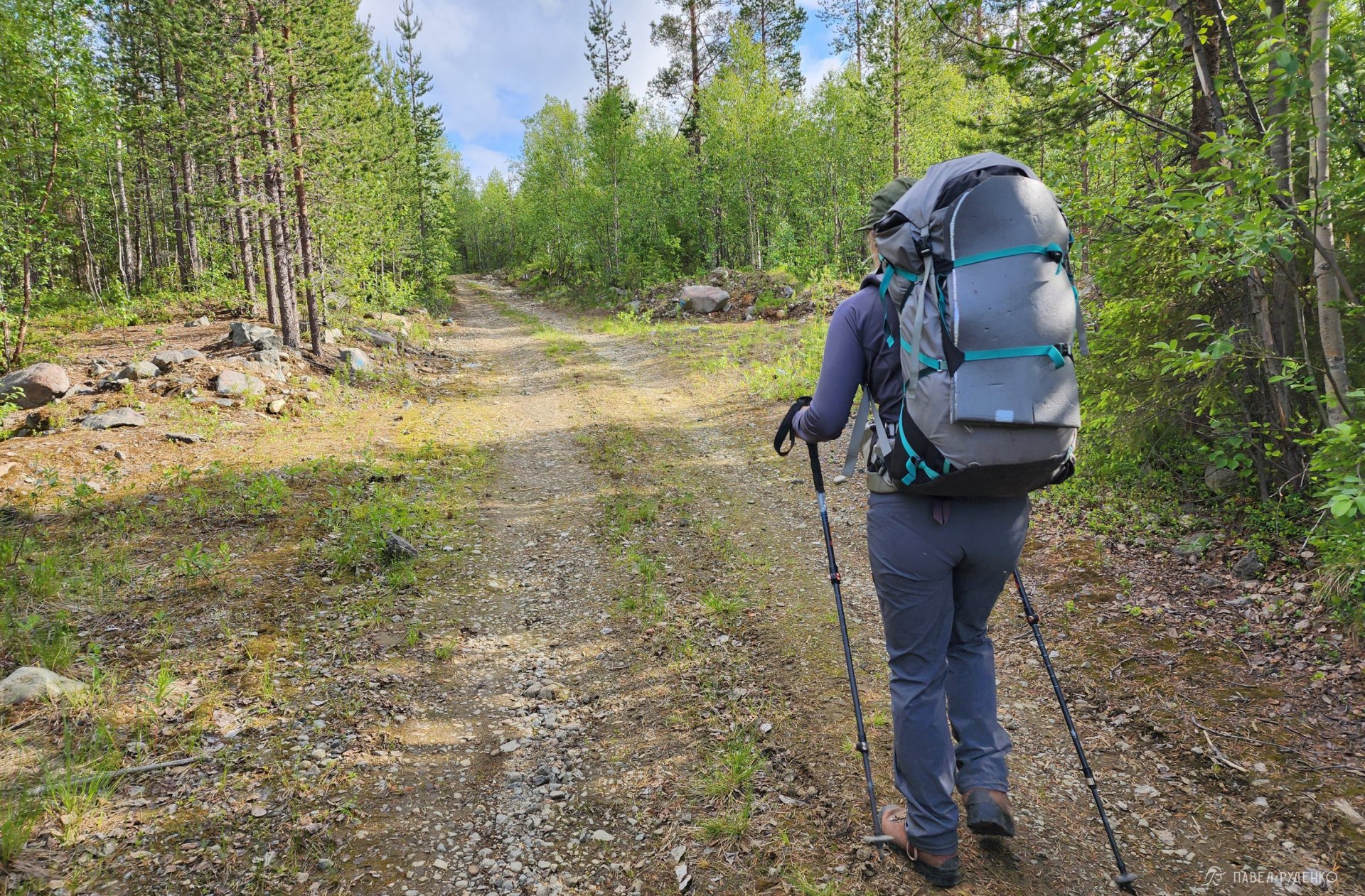
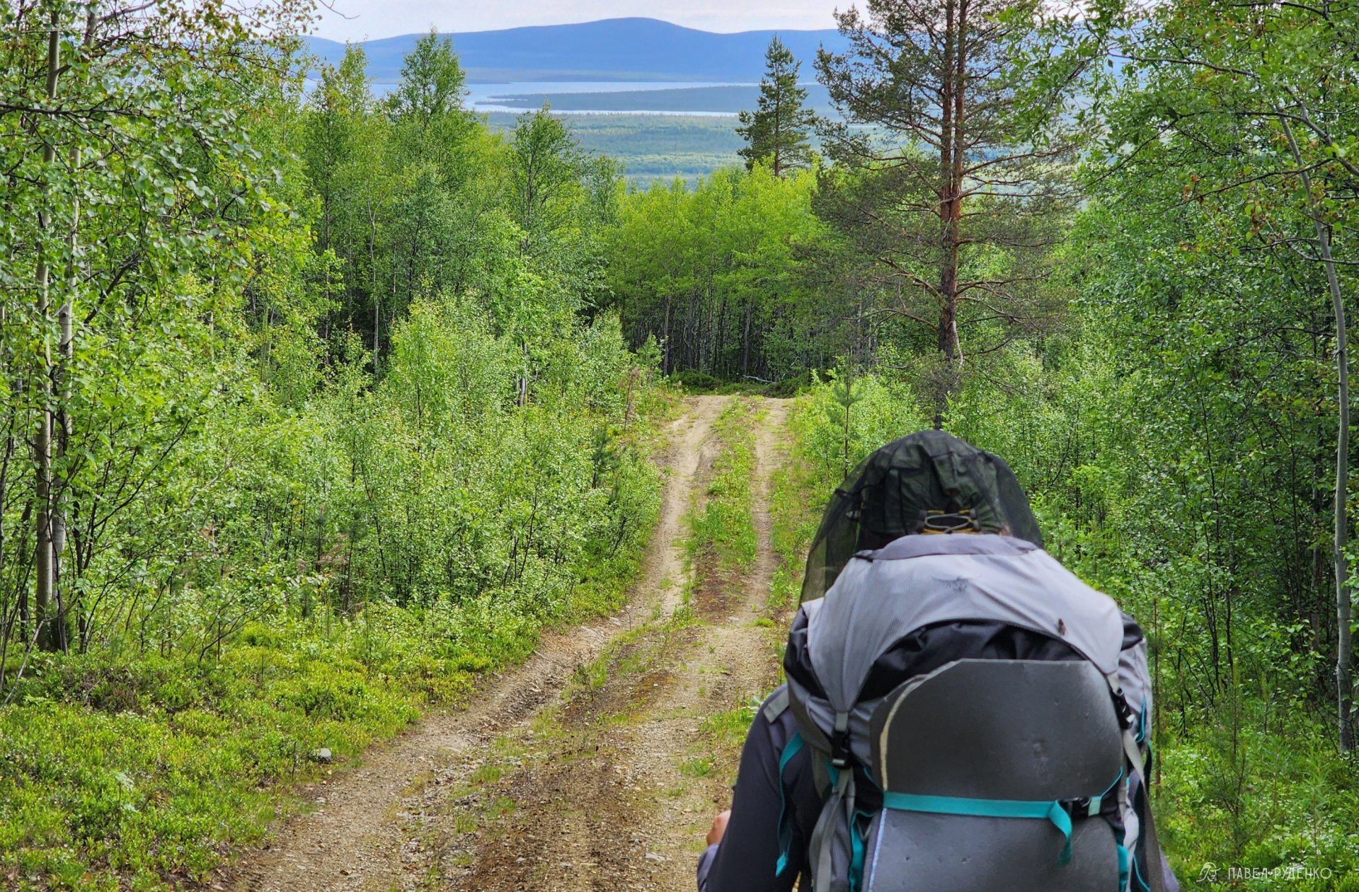
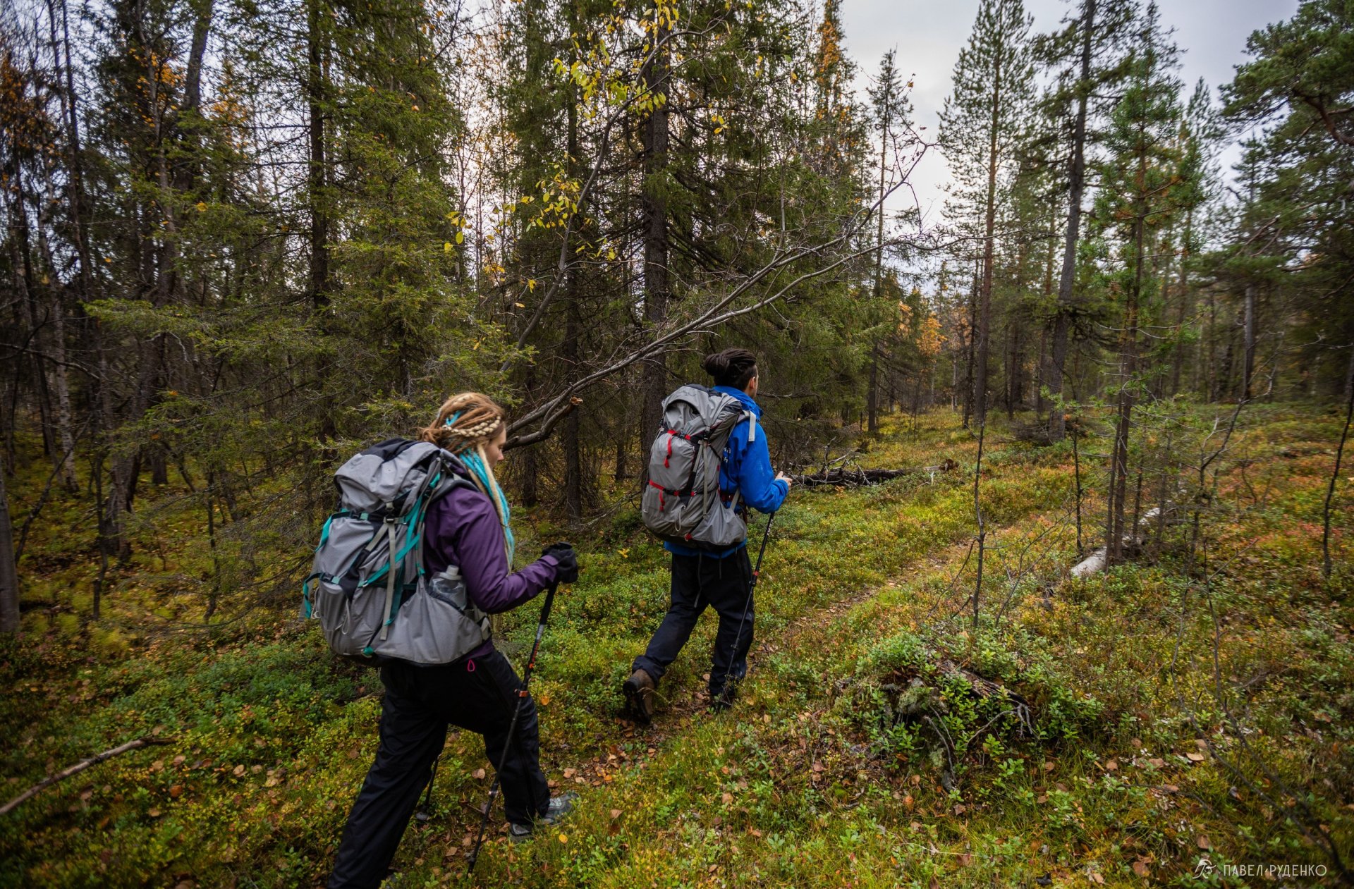
On the descent, a dirt road begins. We move quickly and comfortably, pausing only to listen to the birds and collect water from a brook. There is little water; by late summer, the stream might run dry. The forest here is dense and tough to navigate without trails. I call out periodically to alert bears to our presence — the most basic defense. There are 58 registered bears in the Monchegorsk area.
At kilometer 6, a fork appears, offering an exit point to a paved road where cars pass intermittently, allowing for an emergency evacuation if needed.
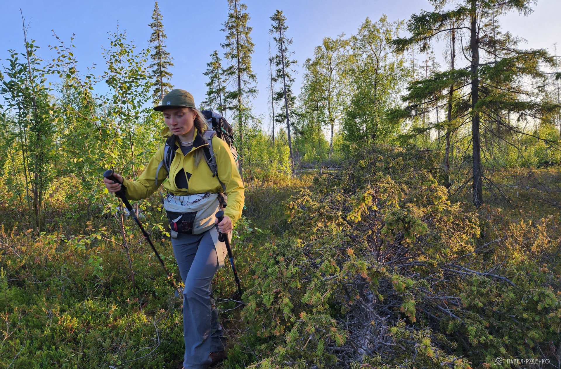
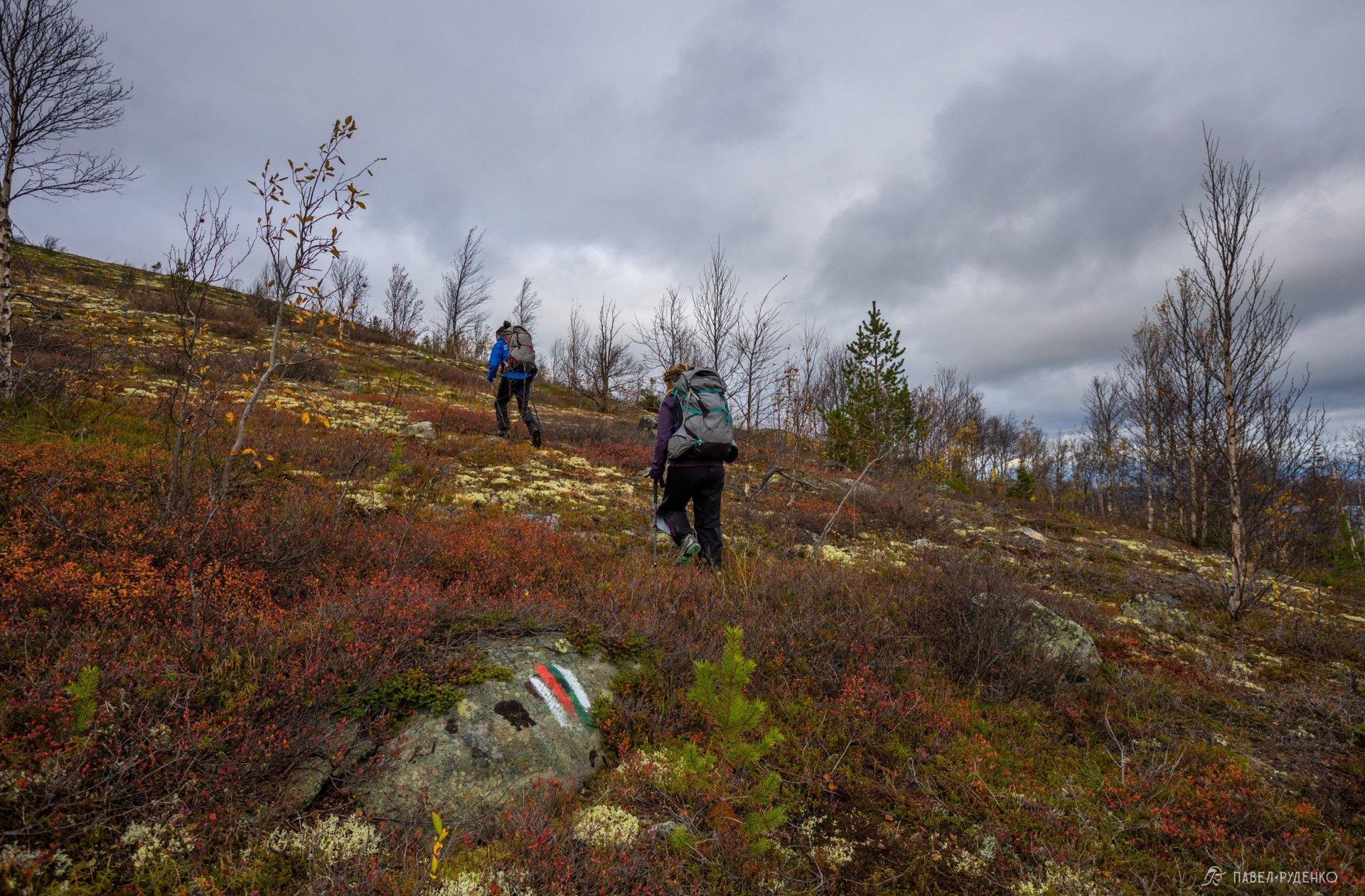
We ascend Mount Voruchuaivench. The trail climbs out of the woods, breaking free from the dense northern taiga to reveal mesmerizing views. In early July during warm spells, mosquitoes and midges hatch, so bug protection is essential. They don't bite me, but Anya put on a headnet — a fine black mesh is the best option because it doesn't strain your eyes.
At kilometer 10.5, a plateau forms between two summits — this is the second gorgeous spot for a camp, also lacking immediate water access, though I'm sure that won't deter true romantics.
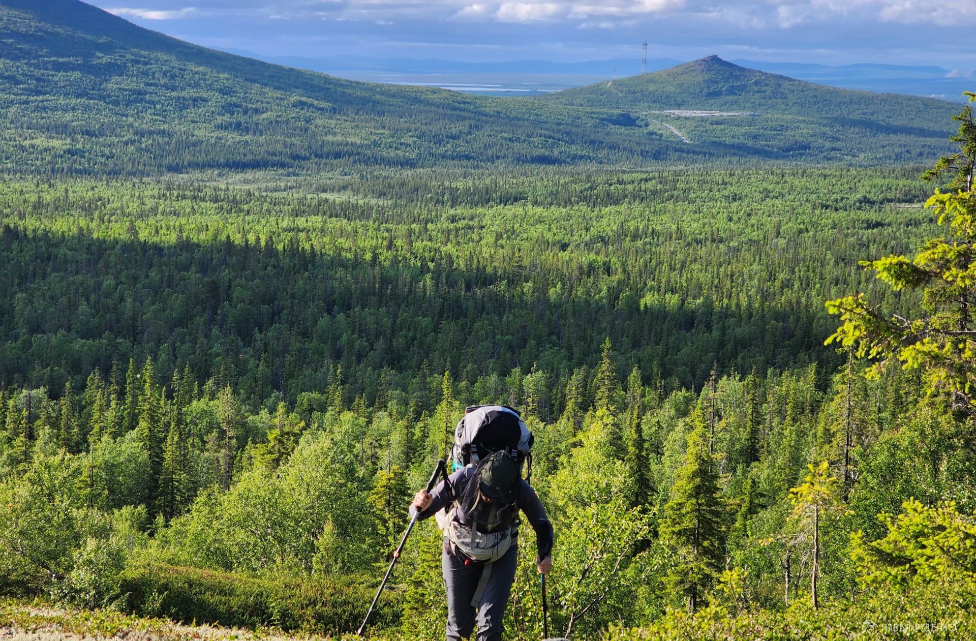
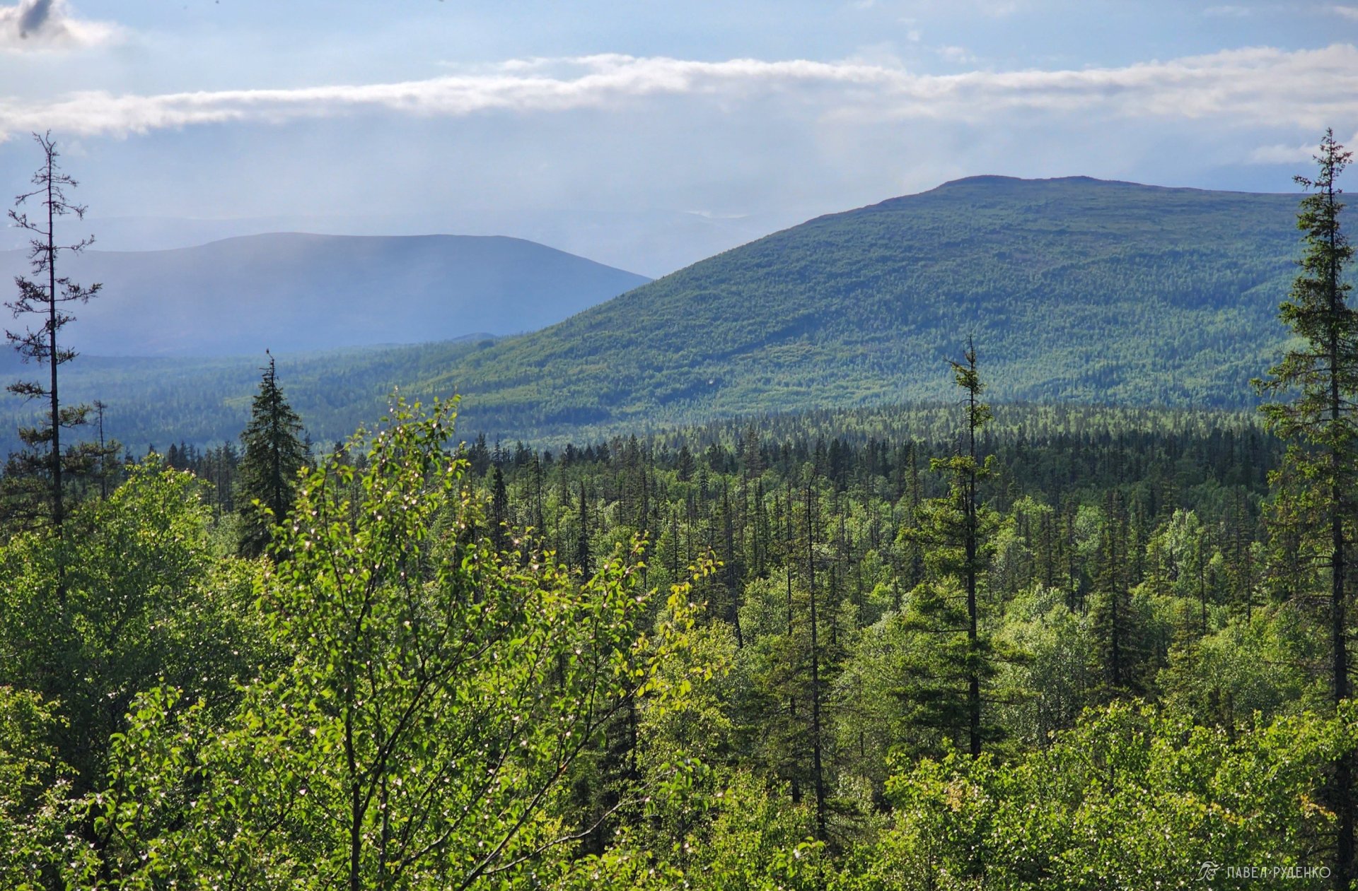
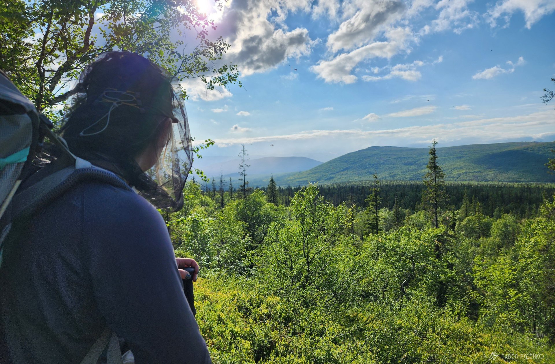
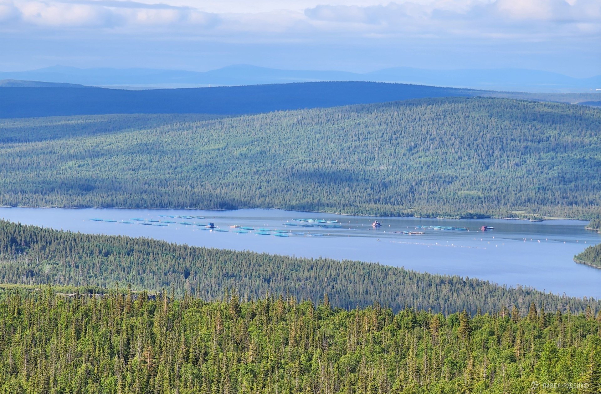
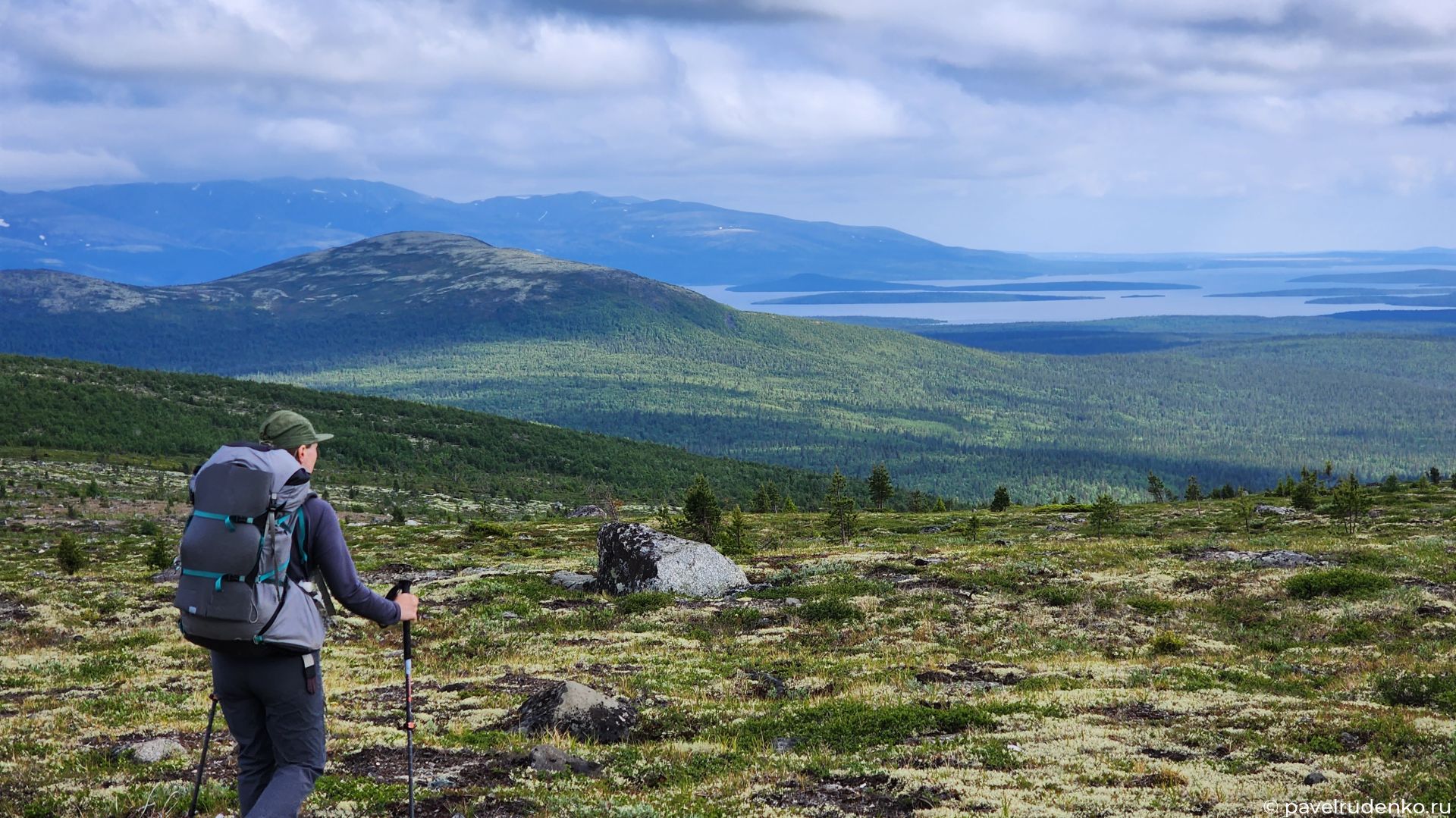
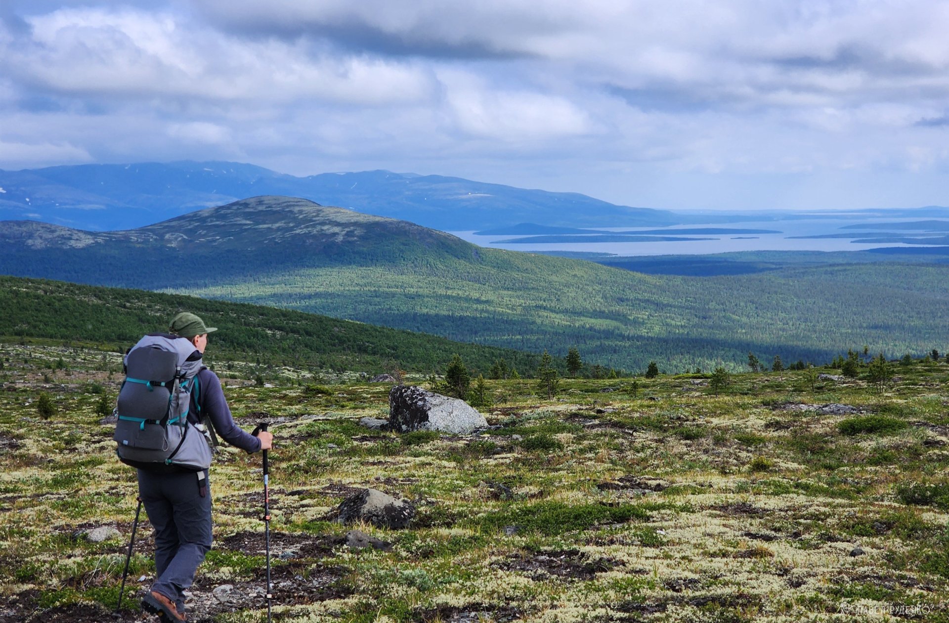
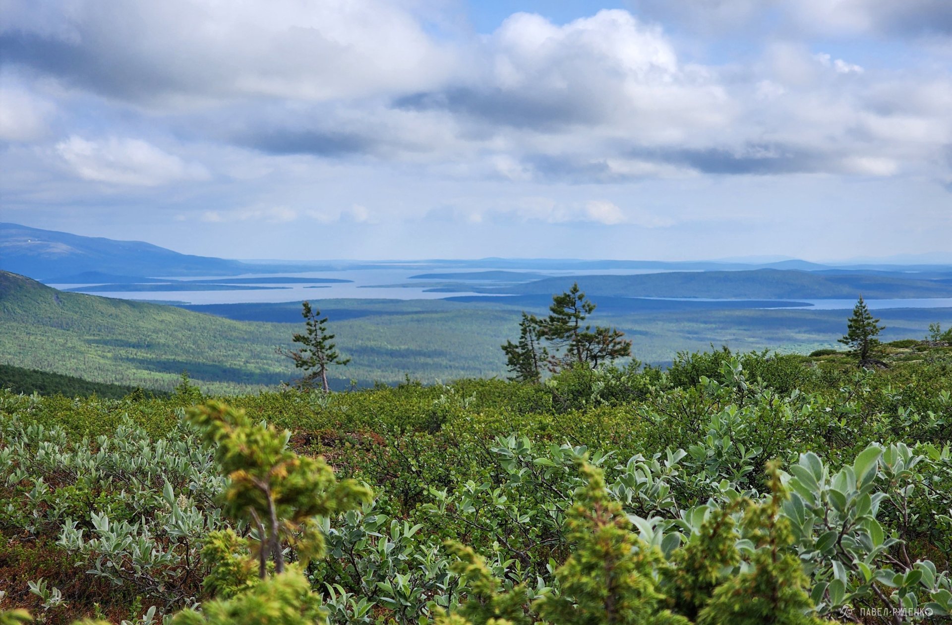
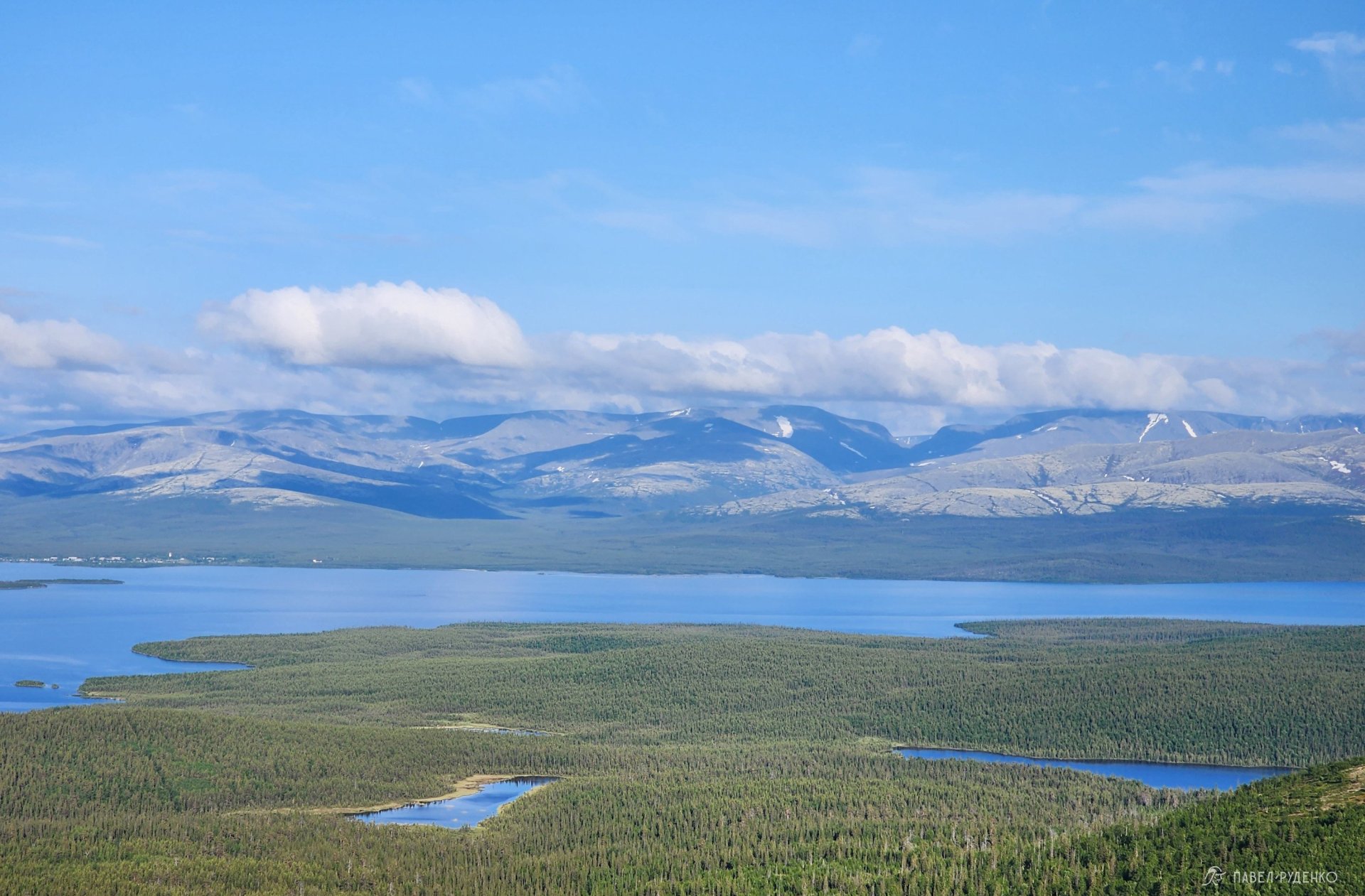
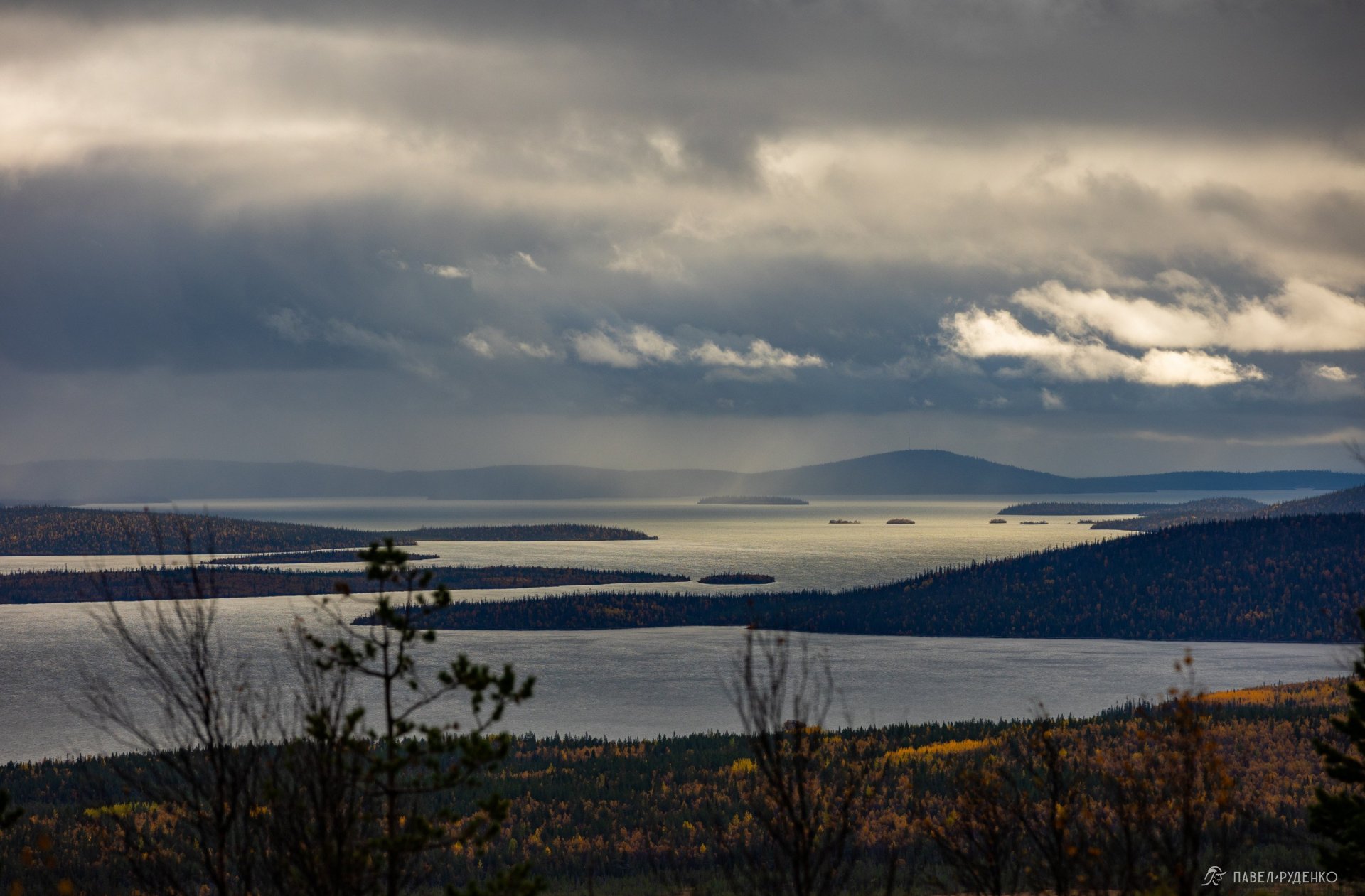
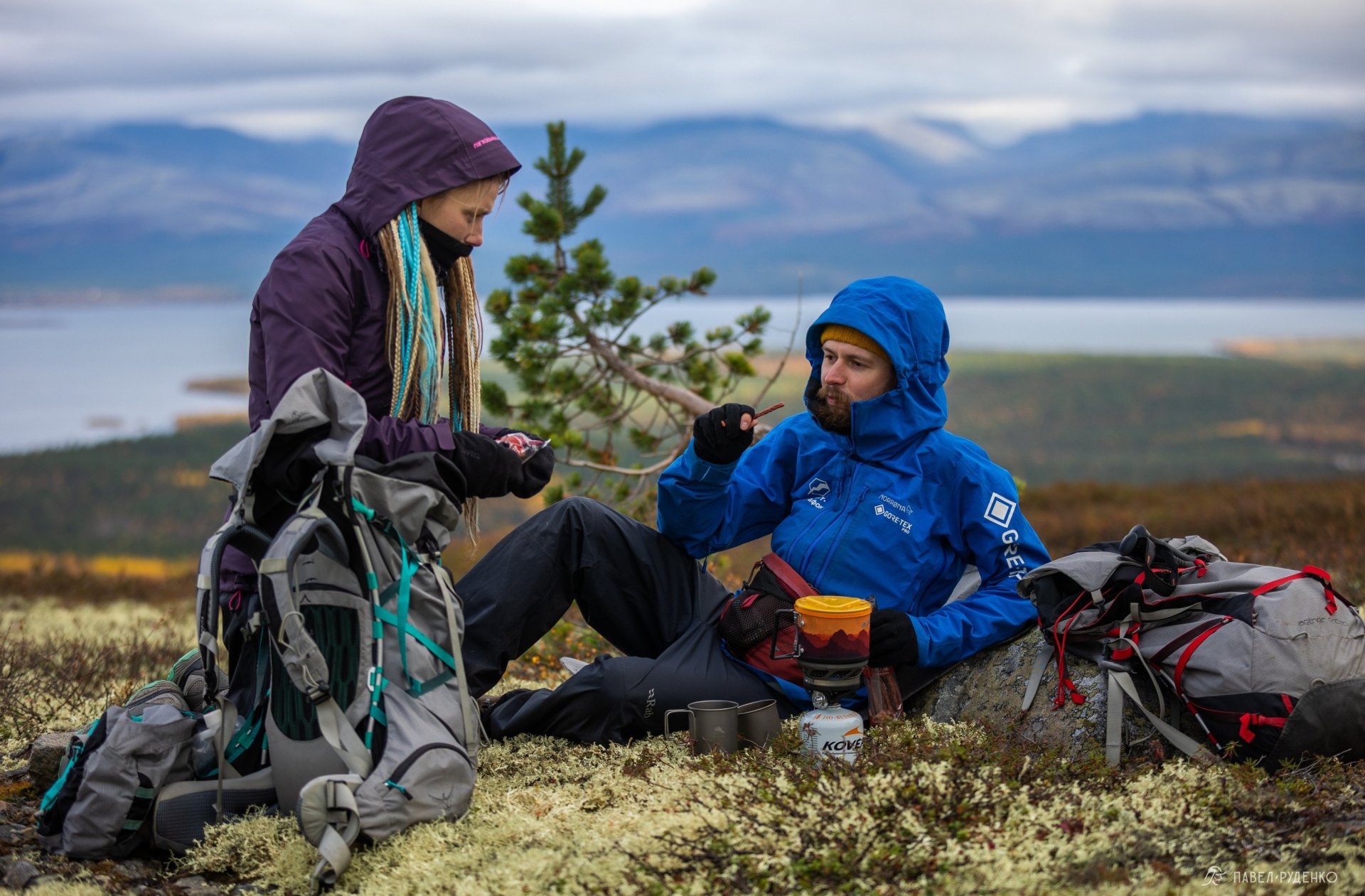
At the top, we drop our packs and lie down on the moss, gazing endlessly at the Khibiny Mountains and Lake Imandra. Something stirs deep inside when these northern expanses unfold before your eyes. A sense of warmth and home, but in an elemental, vast sense. As if this were the cradle of humankind, a feeling that our species began its journey right here, an inexplicable ancestral memory waking up deep within.
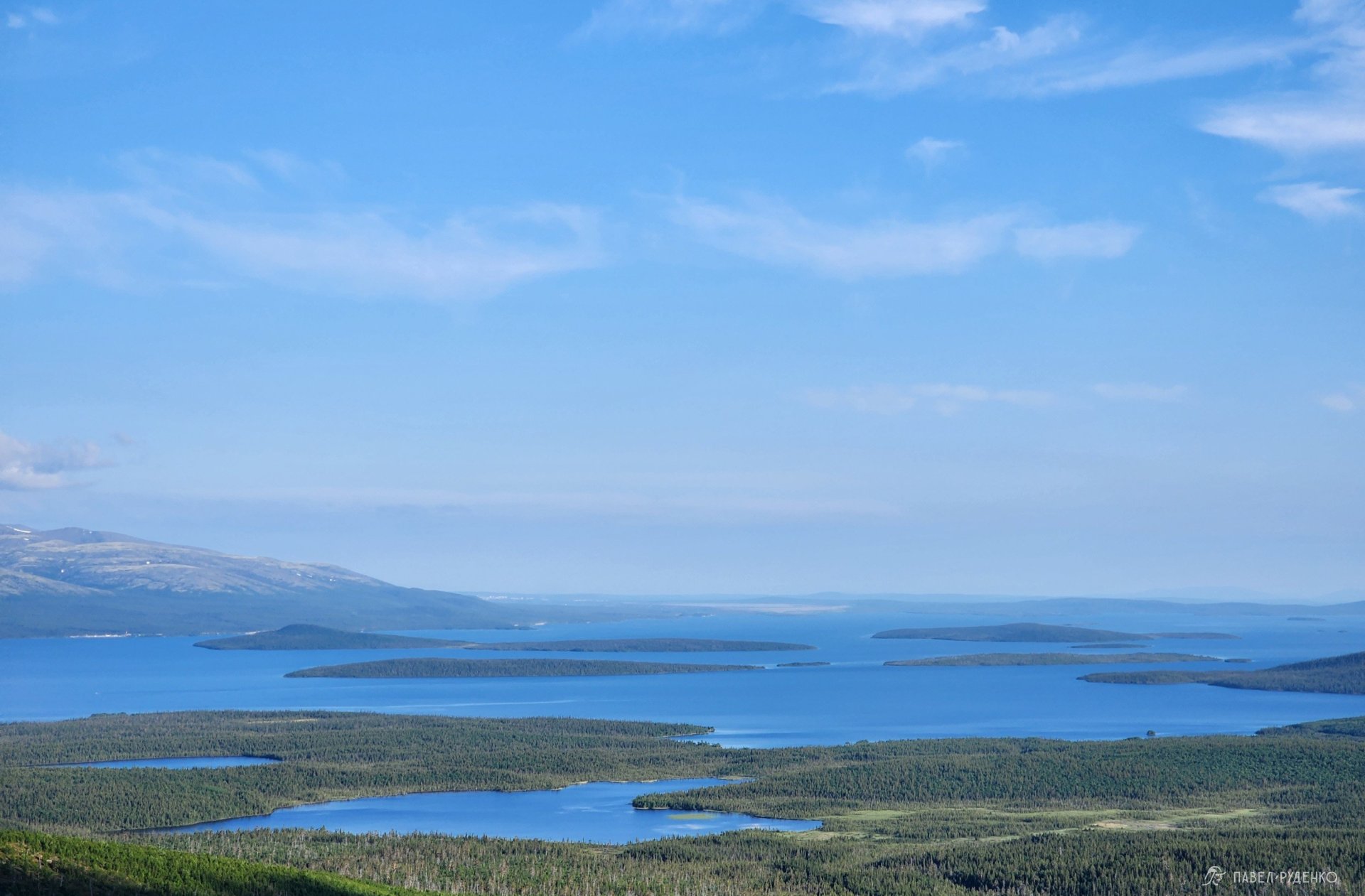
This is the finest vantage point to view the Khibiny Mountains from afar. From here, the massif is visible in all its glory: compact, welcoming, cozy, with gentle slopes that look plush under a blanket of reindeer lichen. The mountain range spans just 40 by 40 km, and sprawling before it is the largest lake in the Kola North — incidentally, Lake Imandra ranks 14th by area in all of Mother Russia.
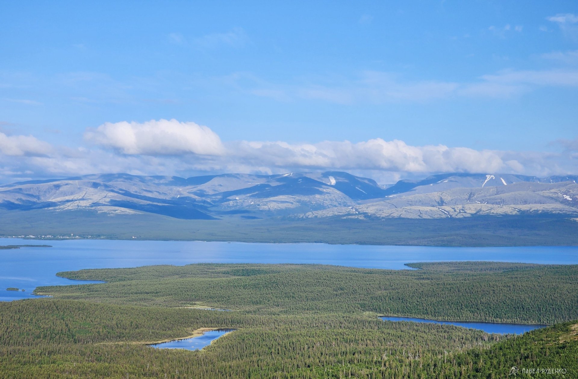
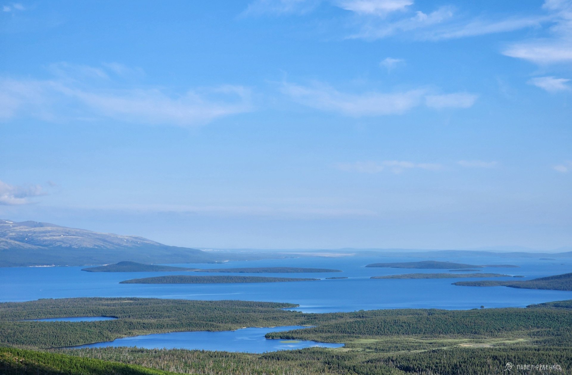
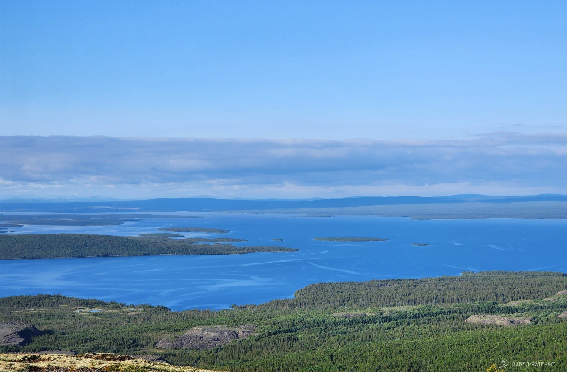
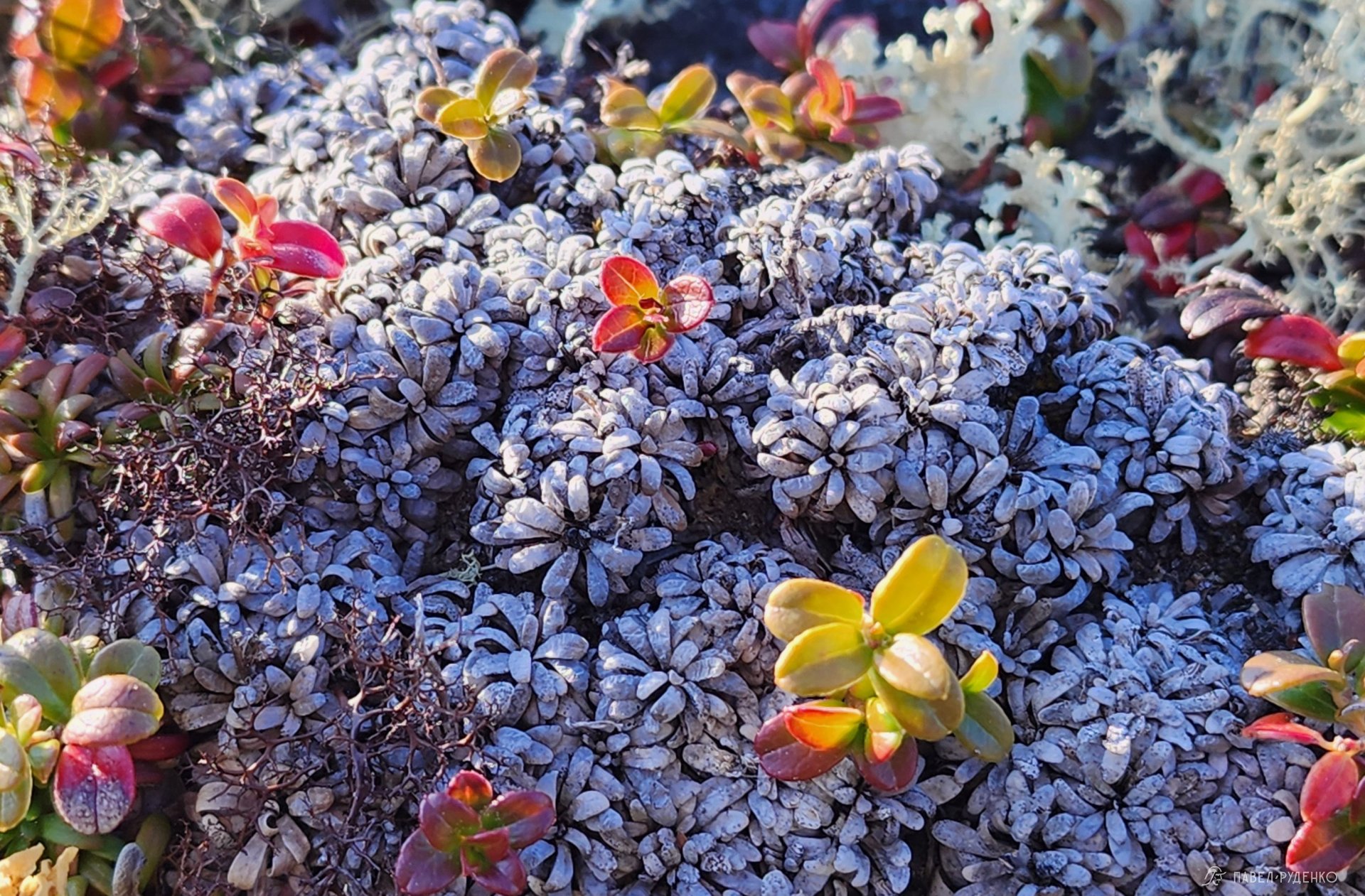
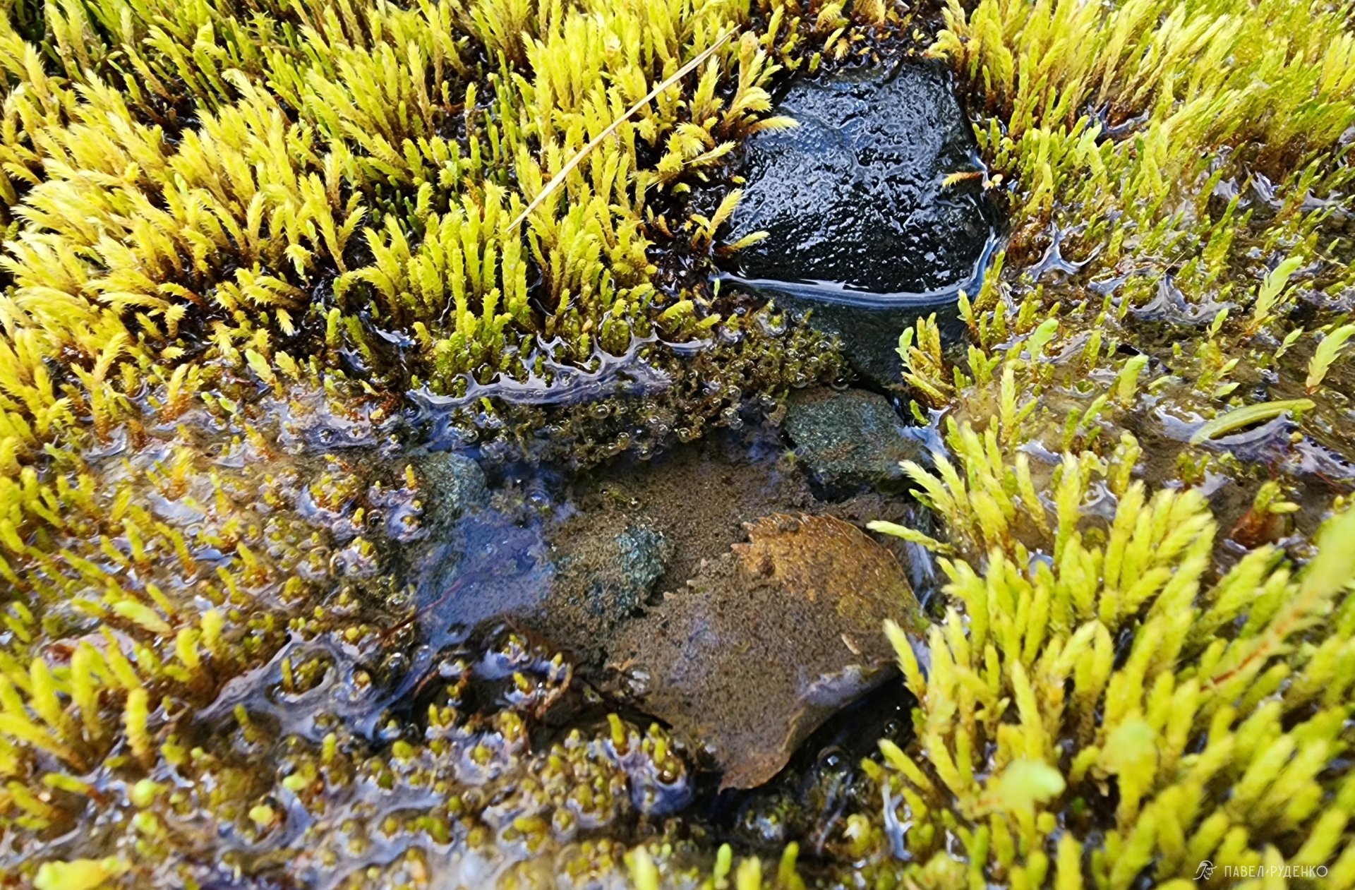
After examining every lichen and patch of moss around, we coax ourselves to press on, even though it feels almost pointless: the hundred-kilometer panoramic view suggests staying put for a couple of days just to soak in the freedom of this place.
The one-day Ravens' Trail leads right here, up Mount Vurechuaivench, which I hiked in September and filmed a video about.
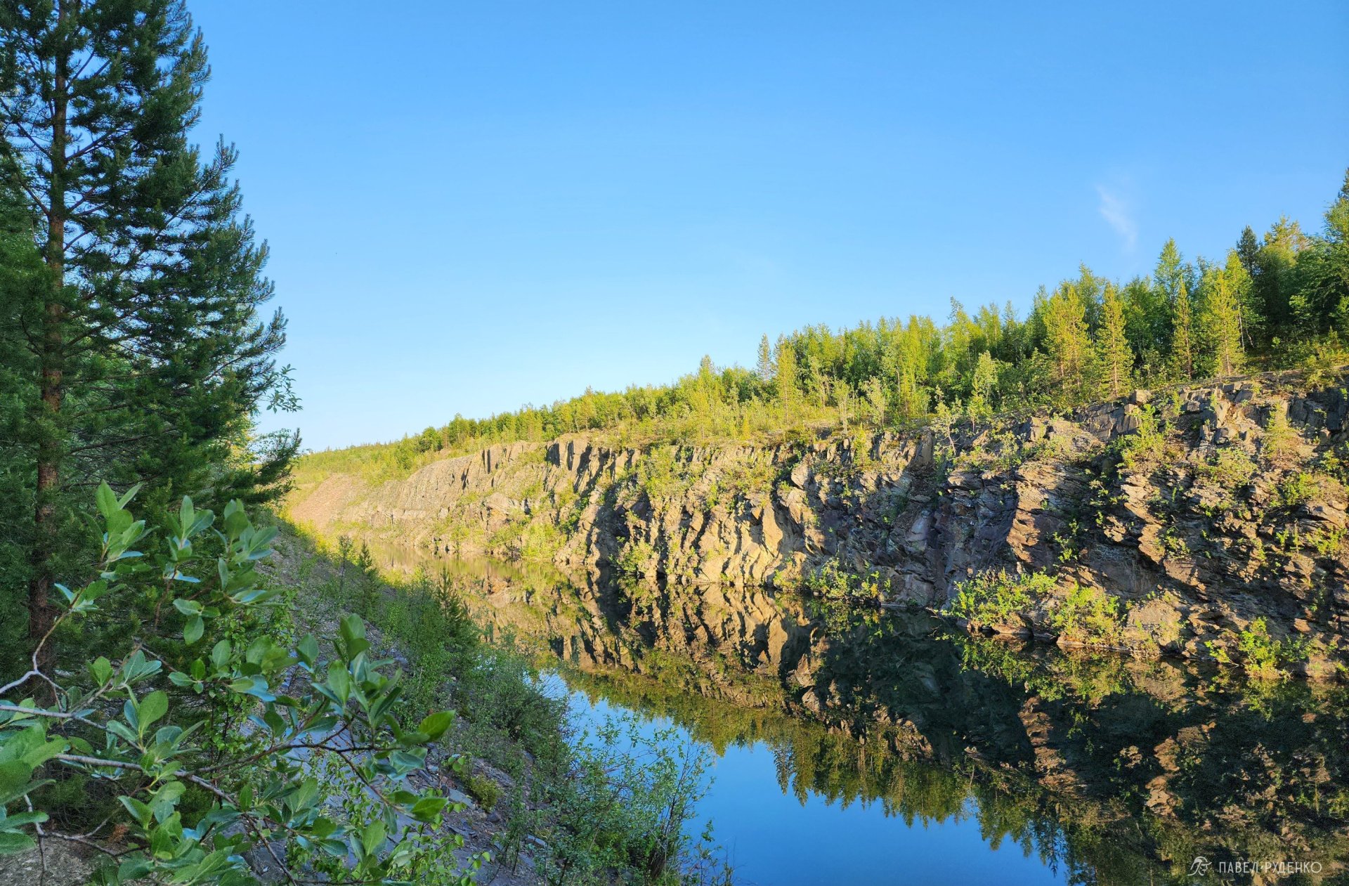
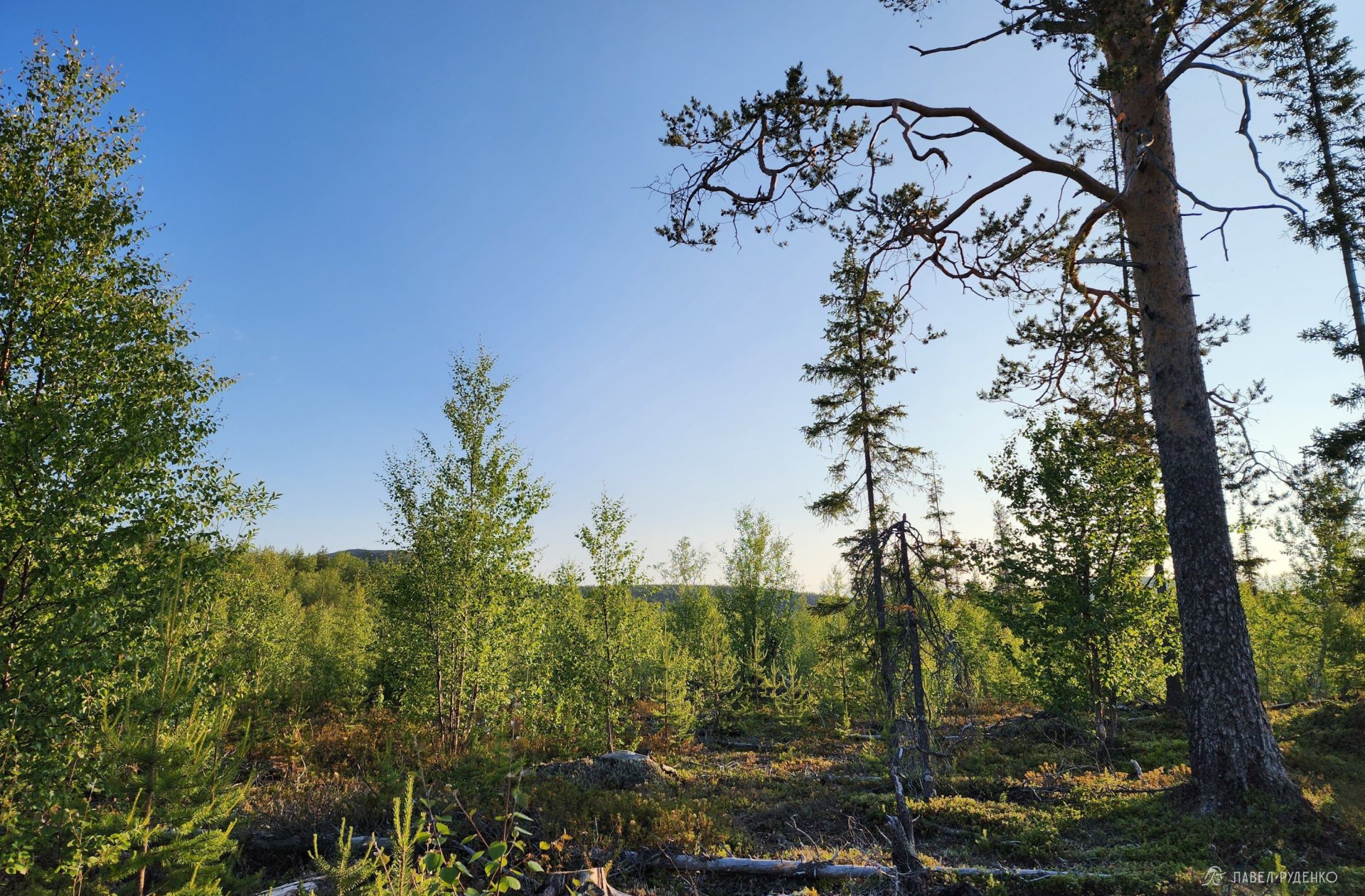
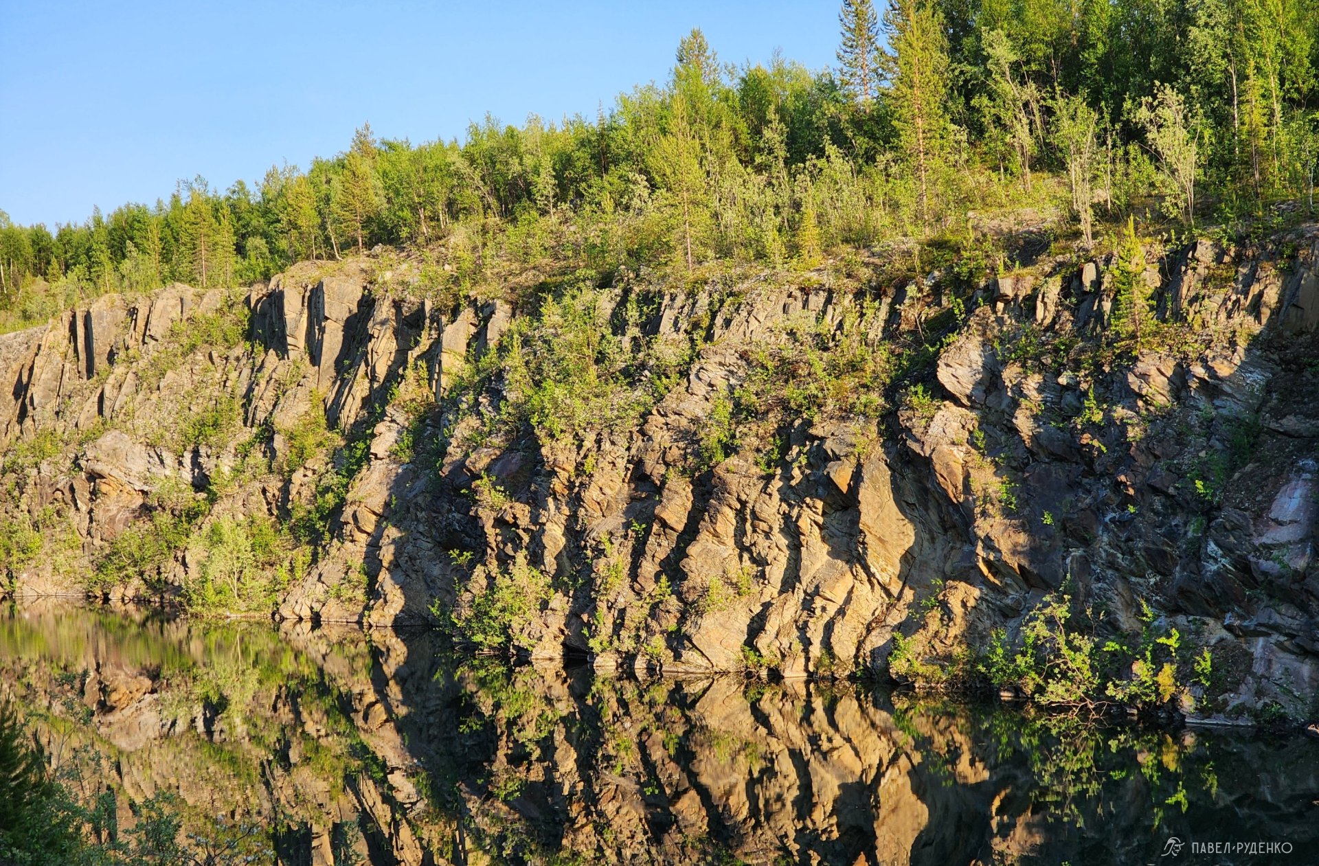
Walking briskly, we reach the equipped Krepost borehole spring, and just a hundred meters further, the Kwartsitovy spring. The water in them is pure, with no need to filter or boil it. Right here, at the 15-kilometer mark, sits the marked Rutrail Camp2 overlooking a quartzite quarry—an elongated, narrow lake with murky water and sheer cliffs. We push on through a burnt forest with windfall. It looks truly magical, being the first short stretch where the trail occasionally fades and trail markers are not always visible. I sent word about this, and the team will clear the path as soon as possible.
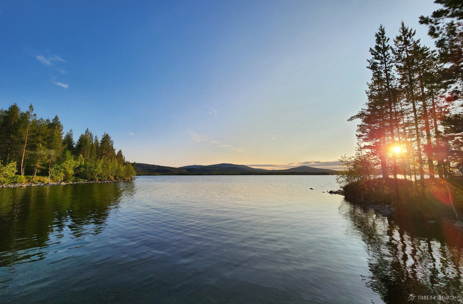
Through the tree trunks, I catch the gleam of the lake: HOORAY, we reached Imandra!
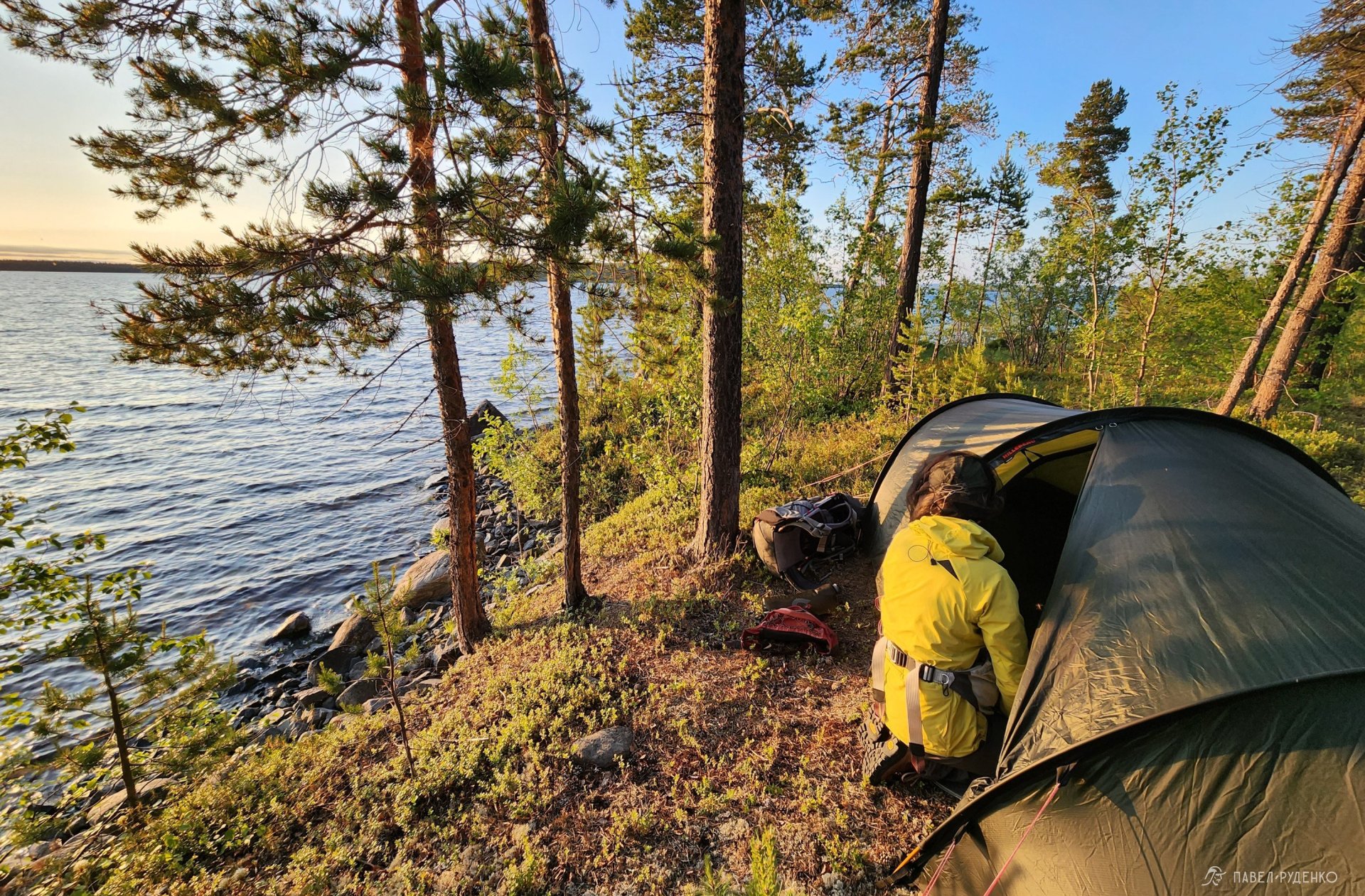
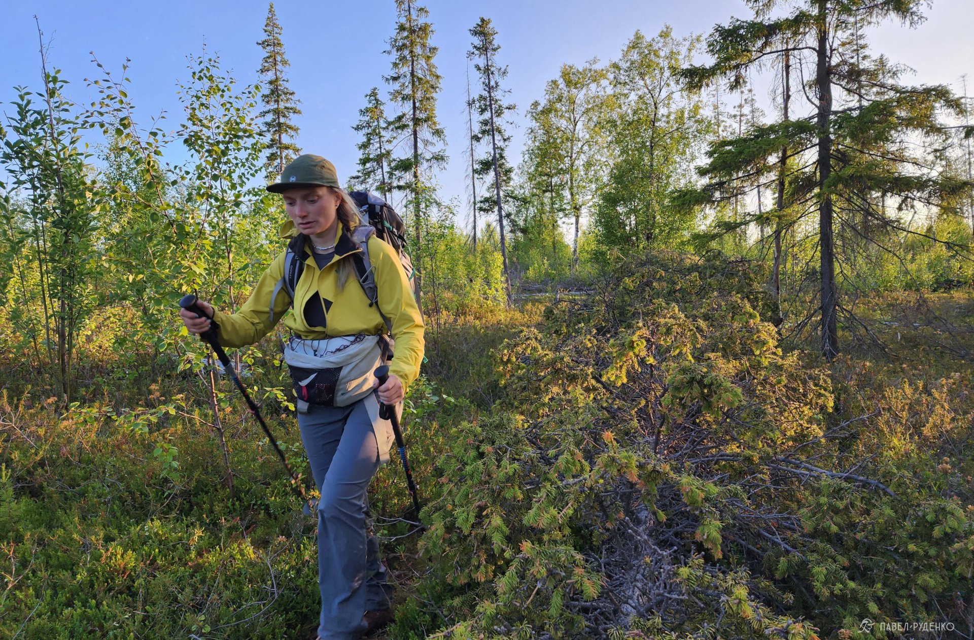
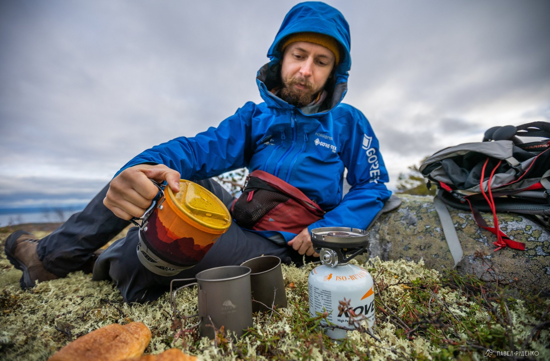
Open wilderness cabins dot the shore, while we search for flat ground to pitch our tent, though flat spots are scarce here. Luckily, we have inflatable sleeping pads to smooth out any bumps. I gather water from the lake into our filter for drinking, while we boil the rest for dinner and tea.
Day 2: Viking Trail
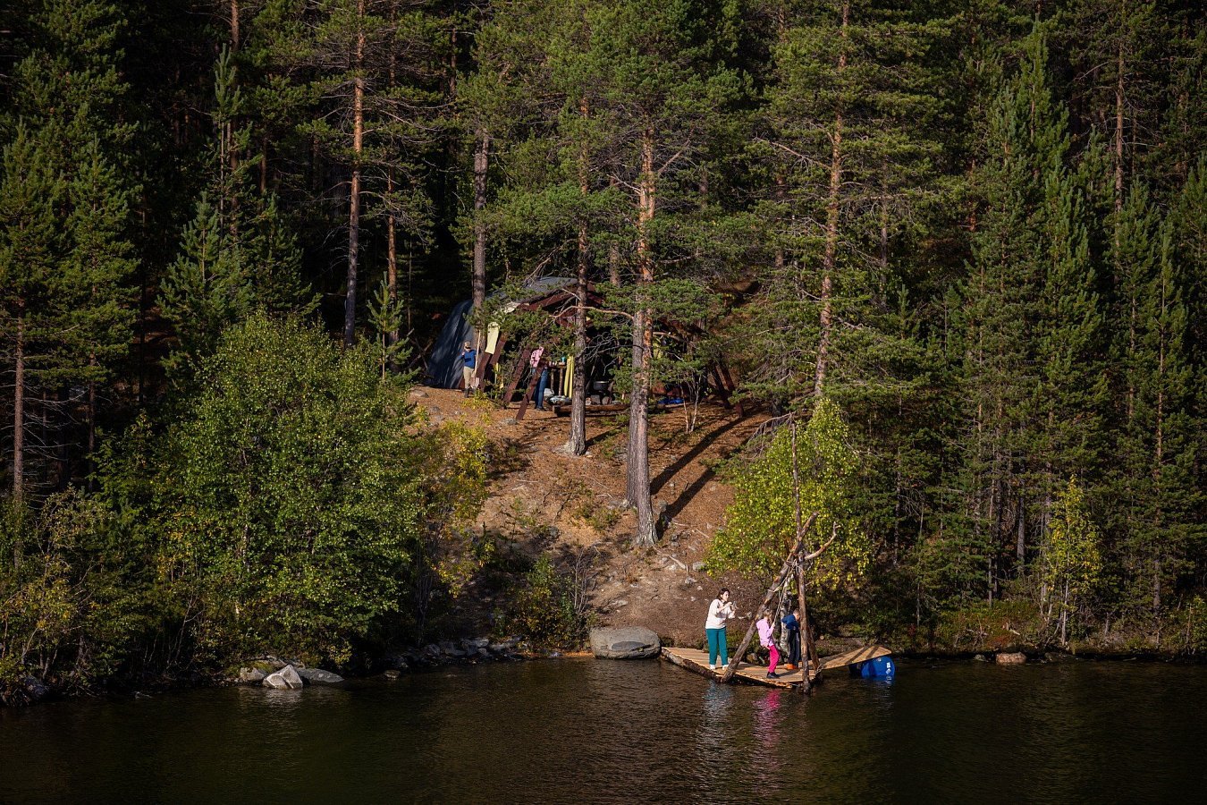
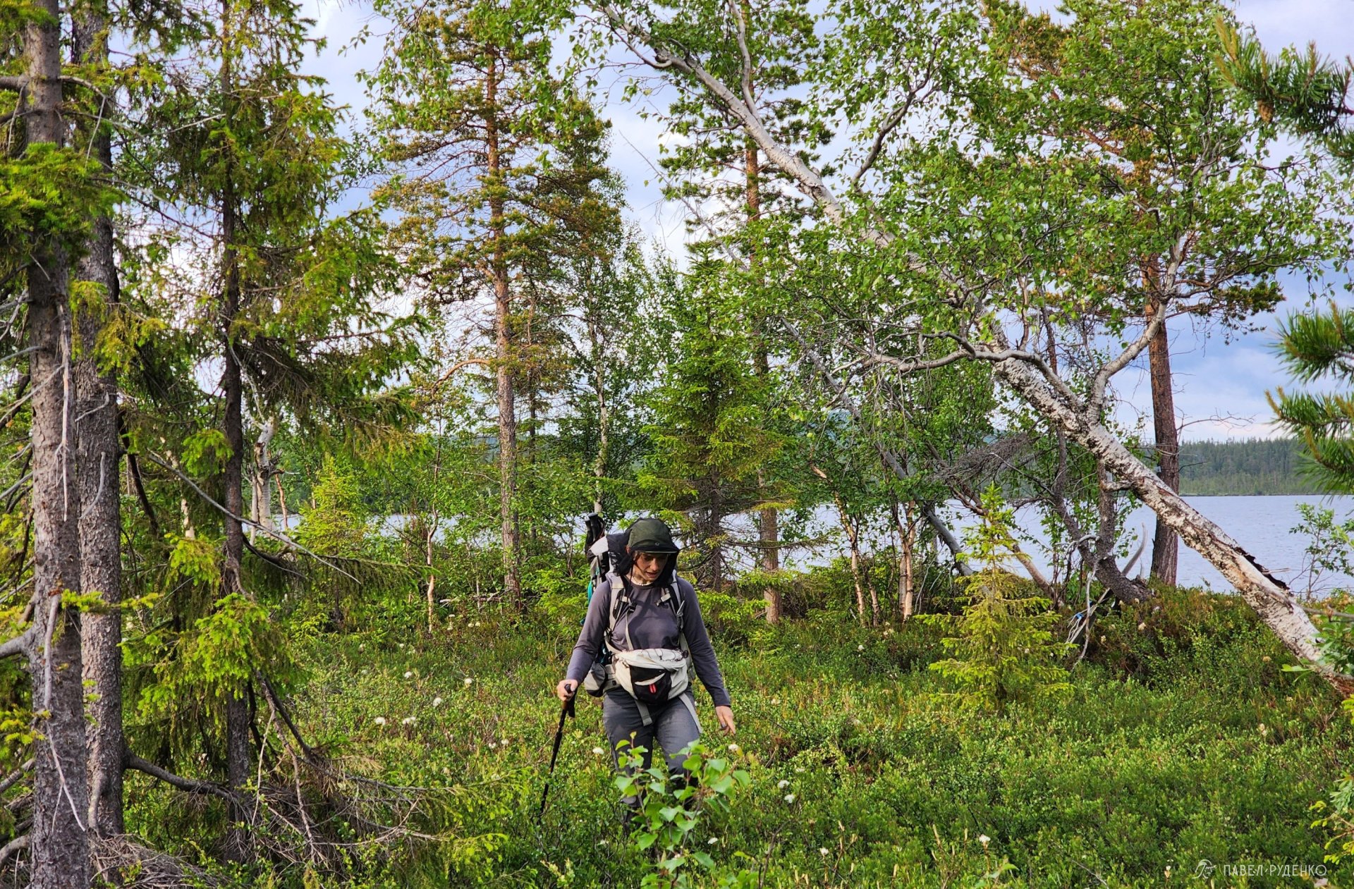
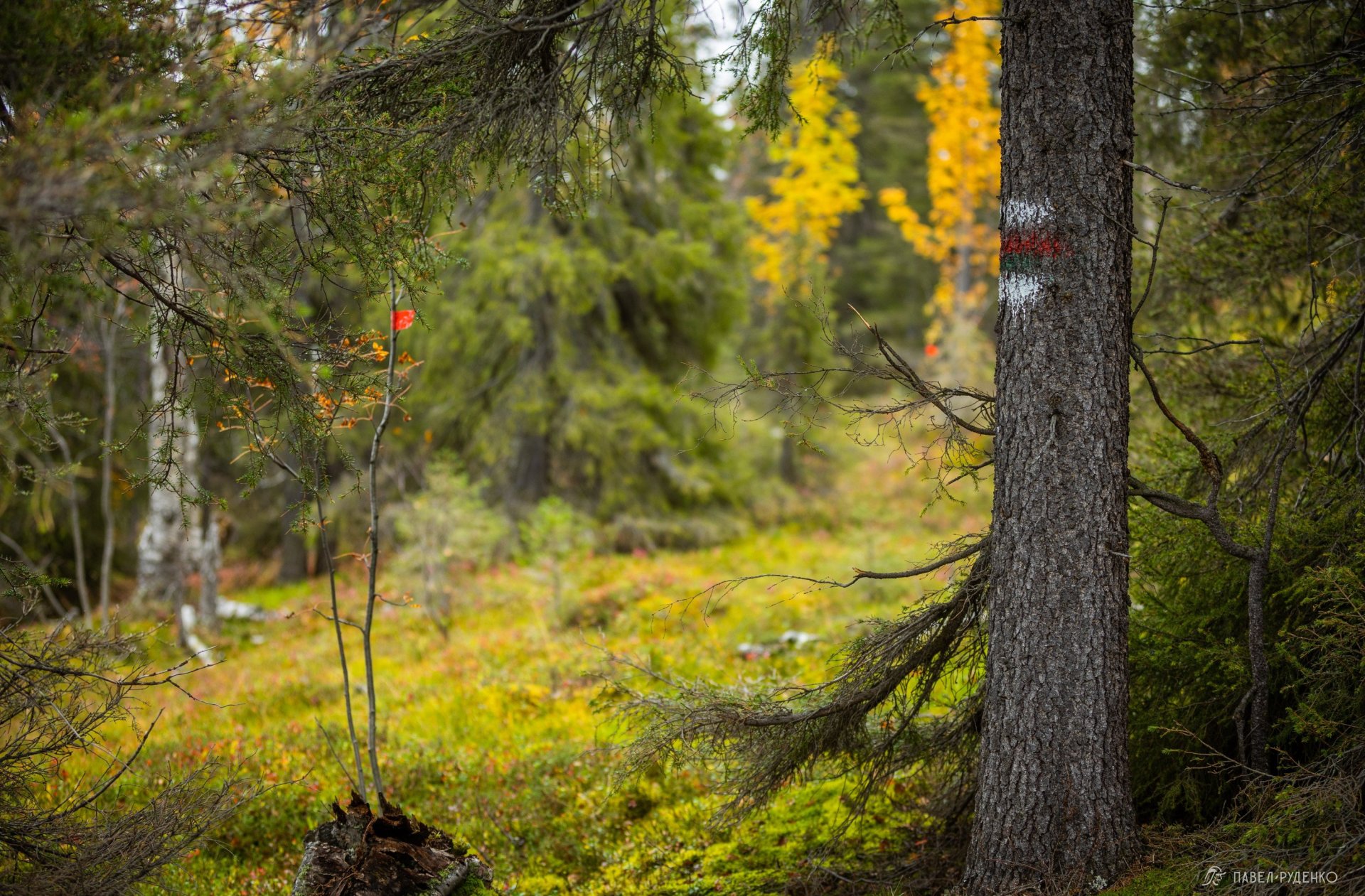
The midnight sun gently illuminated the tent at night. In the morning, we set off again; the trail fades into the moss, so I occasionally glance at the GPS and look for tree markers. The forest is truly wonderful—spacious, open, and wild. Shortly after my trek through here, art installations were set up, and the campsite was upgraded with a dock, a swing, and a wooden platform.


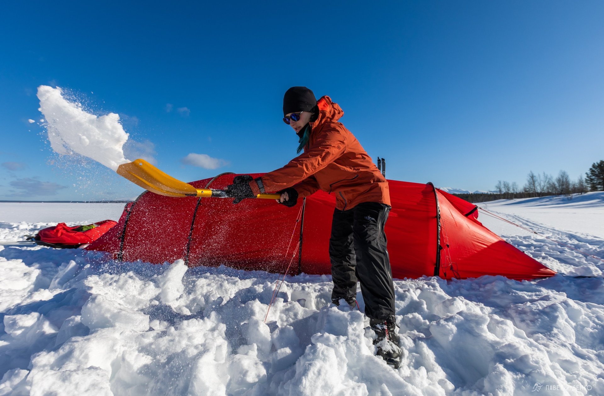
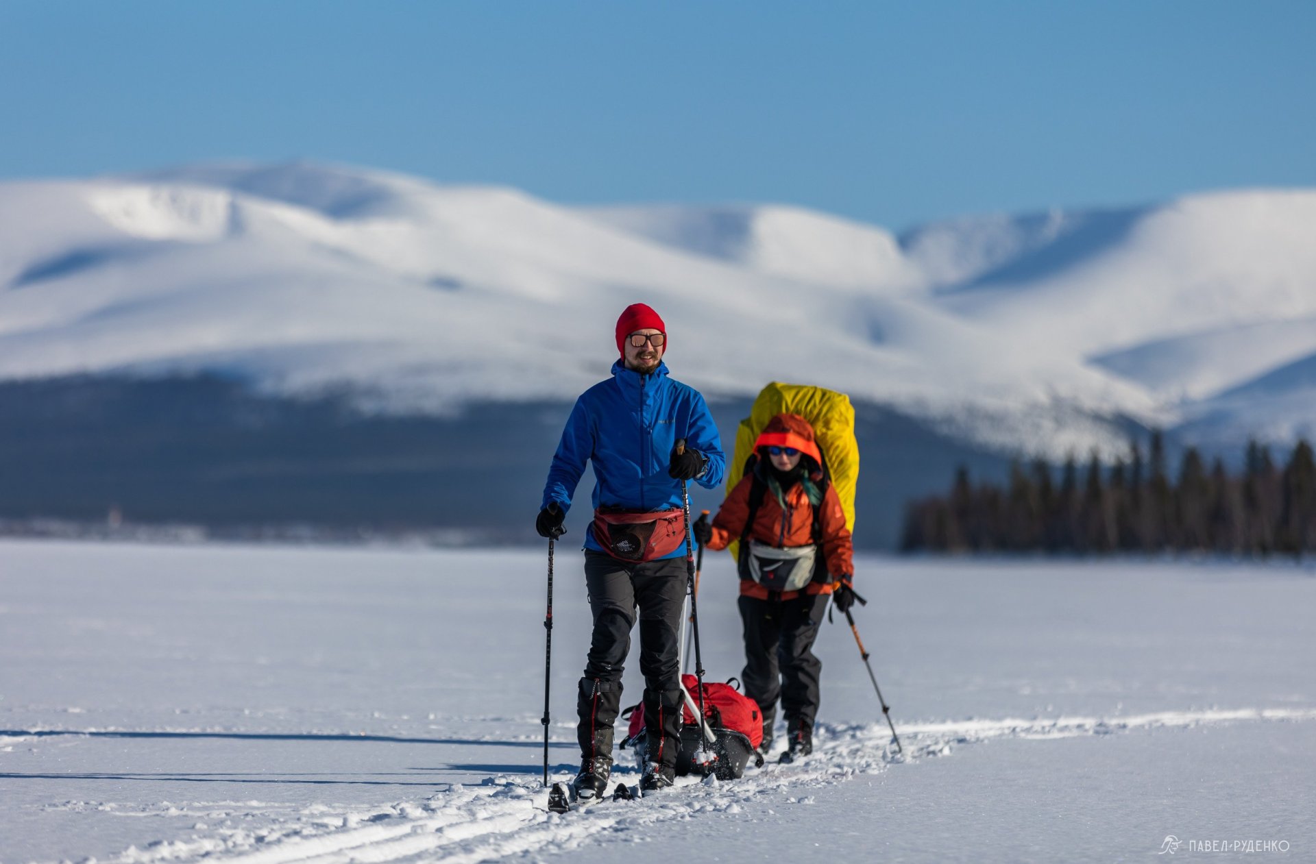
Twenty minutes later, we reach Rizh-Guba, where summer cottage settlements begin. Stopping by an old-school store for some chips and cola, we relished that childlike joy and walked on past the boat garages, reminiscing about skiing through here just two months ago.
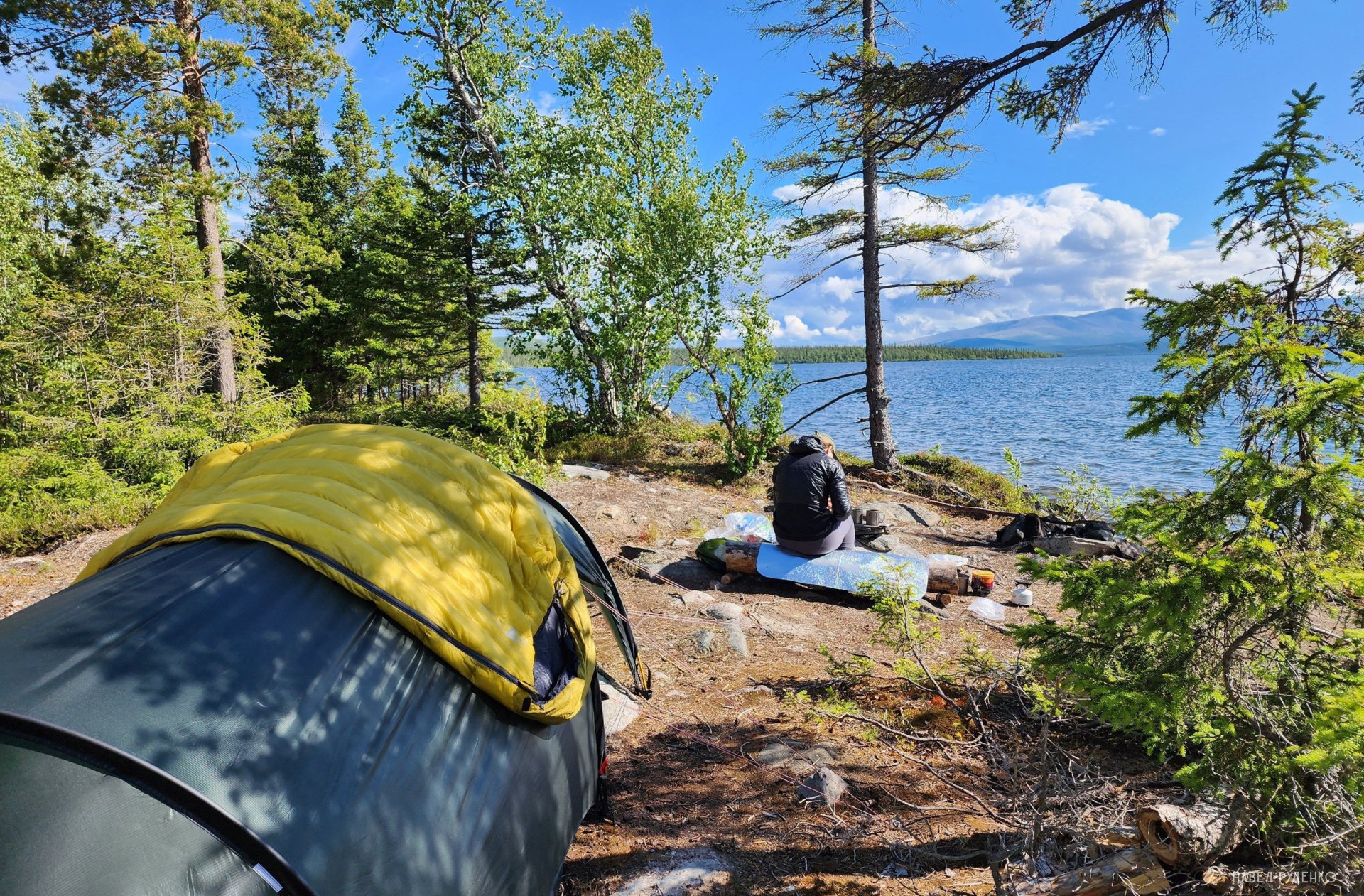
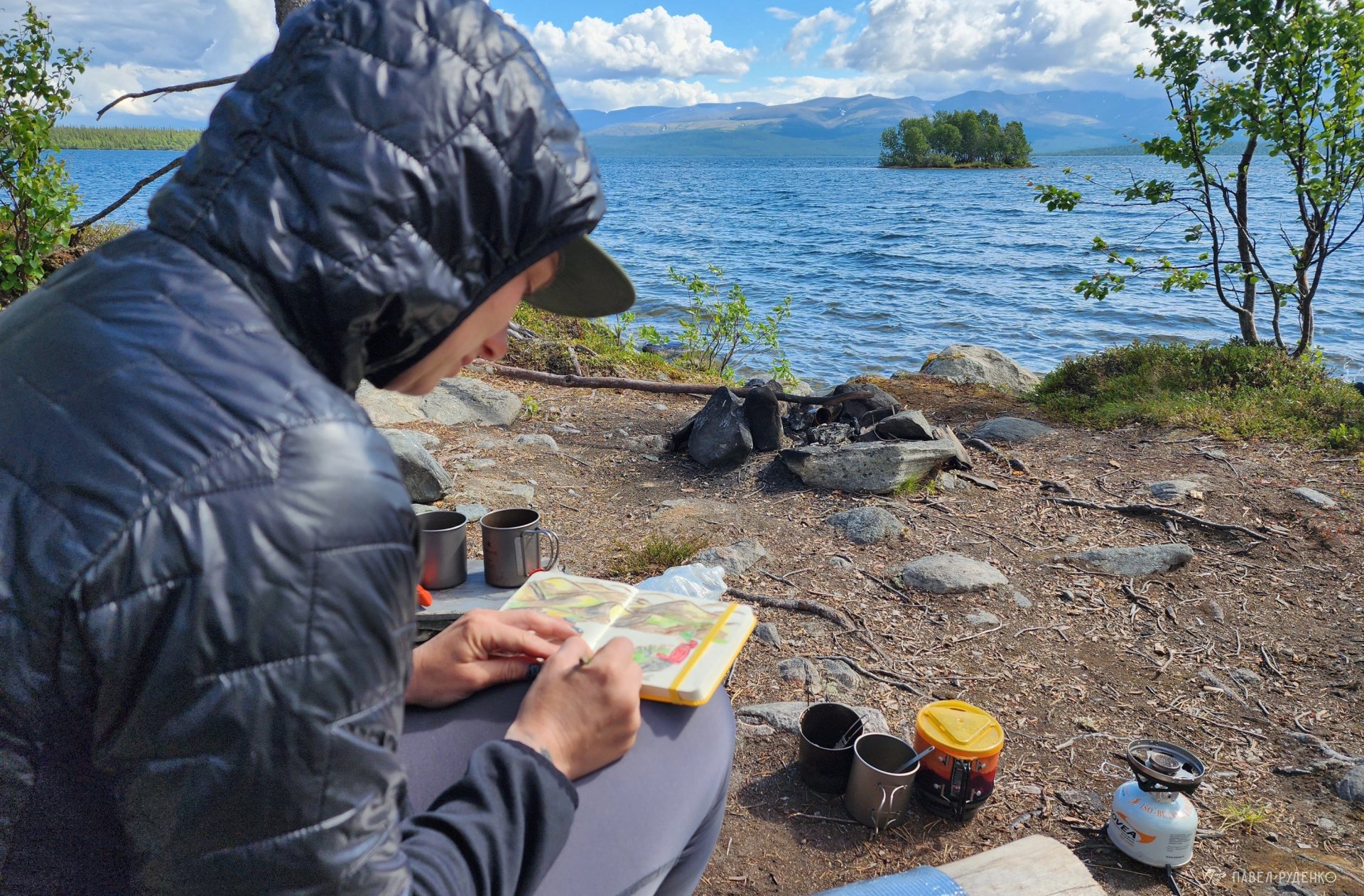
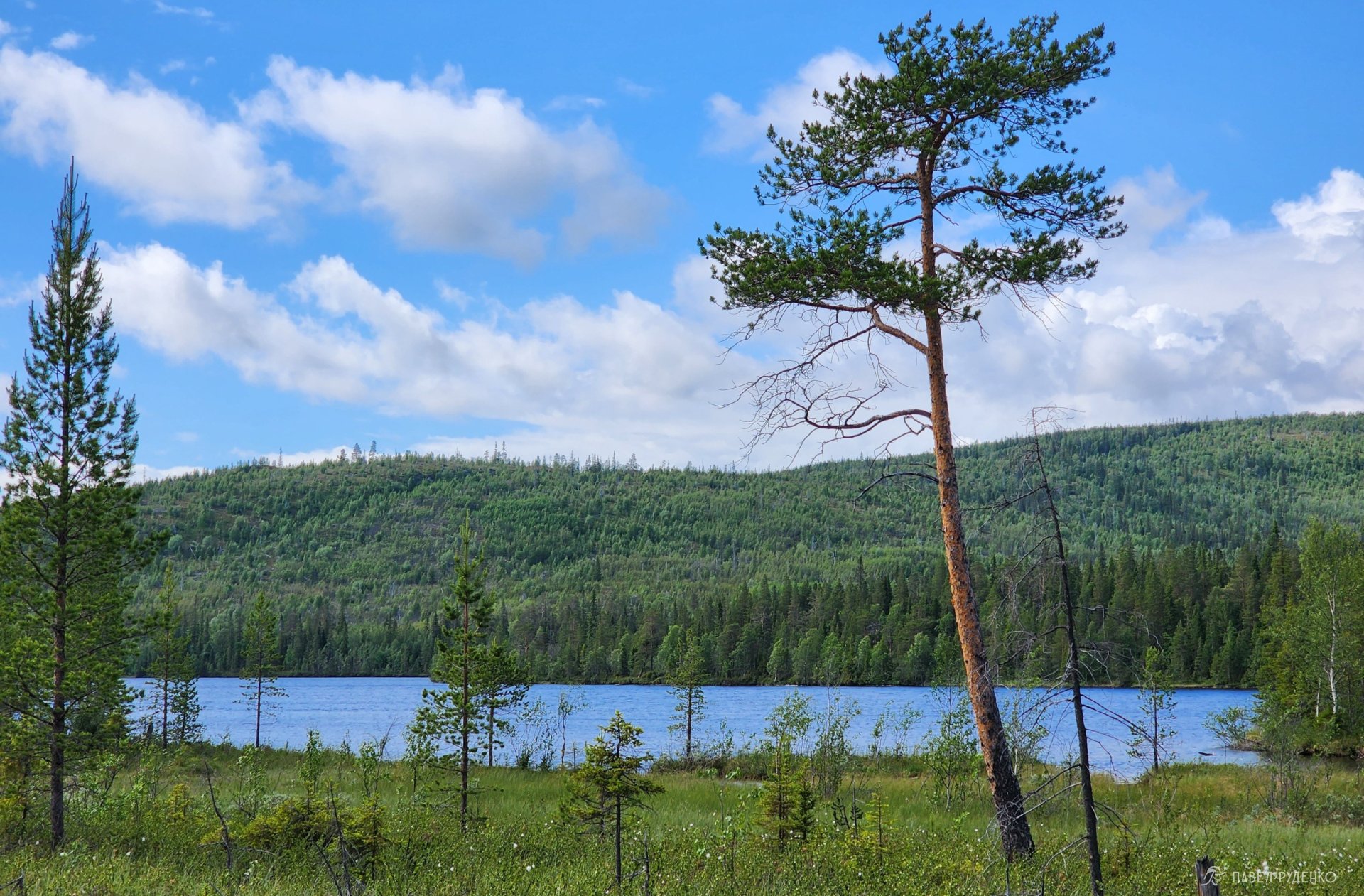
Beyond the cottages, the trail heads into the forest, and 6 km fly by in deep philosophical conversations, pausing only by the bog and crossing a stream over logs. Foliage flickers before our eyes as we hurry to reach the planned campsite on the lakeshore with mountain views. The daily mileage is quite modest, but this spot is so lovely that we simply can't resist the pleasure of resting. I pitch the tent a minute before the rain starts—nature is truly on our side!)) Cooking dinner, Anya sketching, me taking photos—now this is the life!)
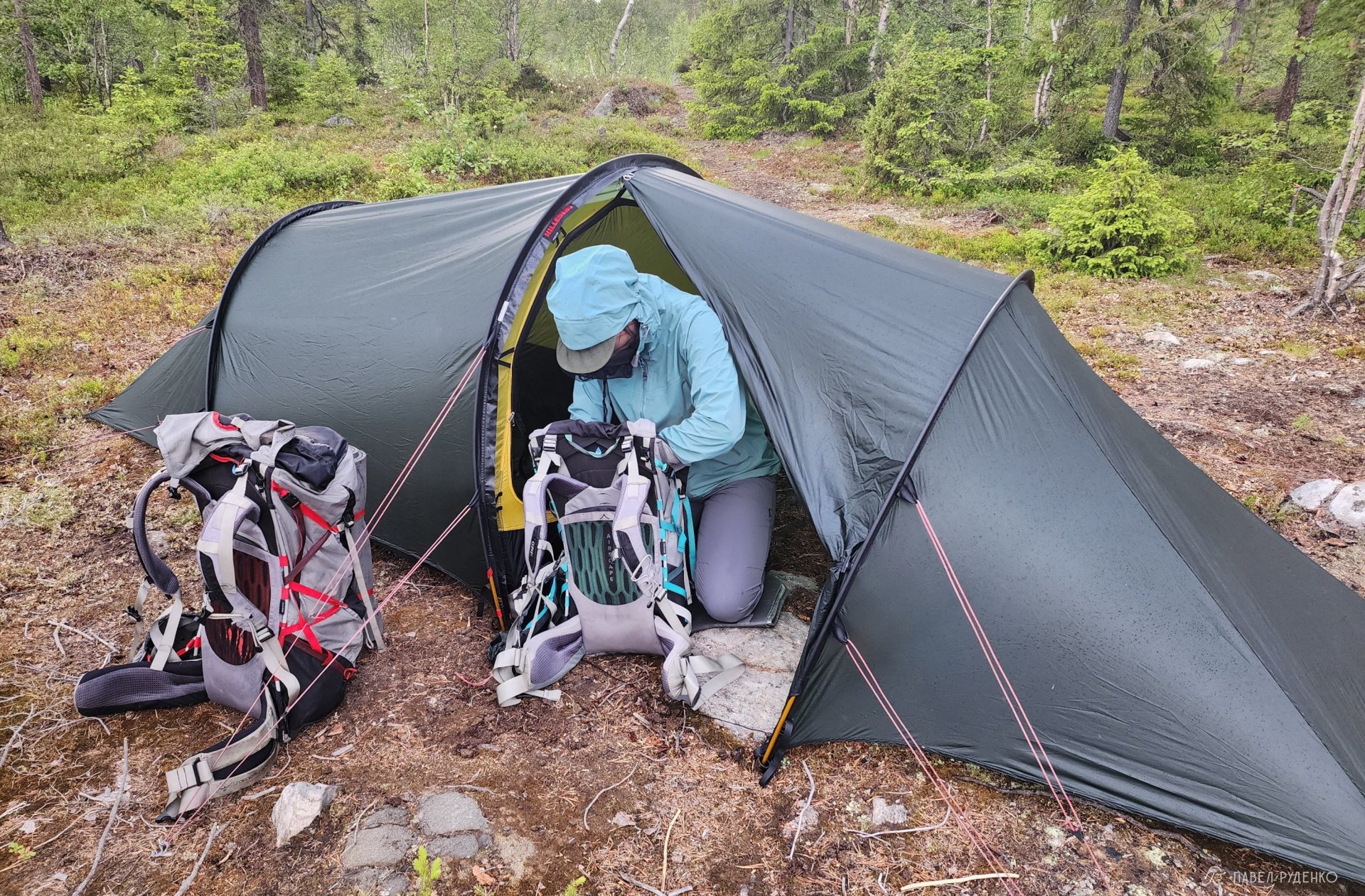
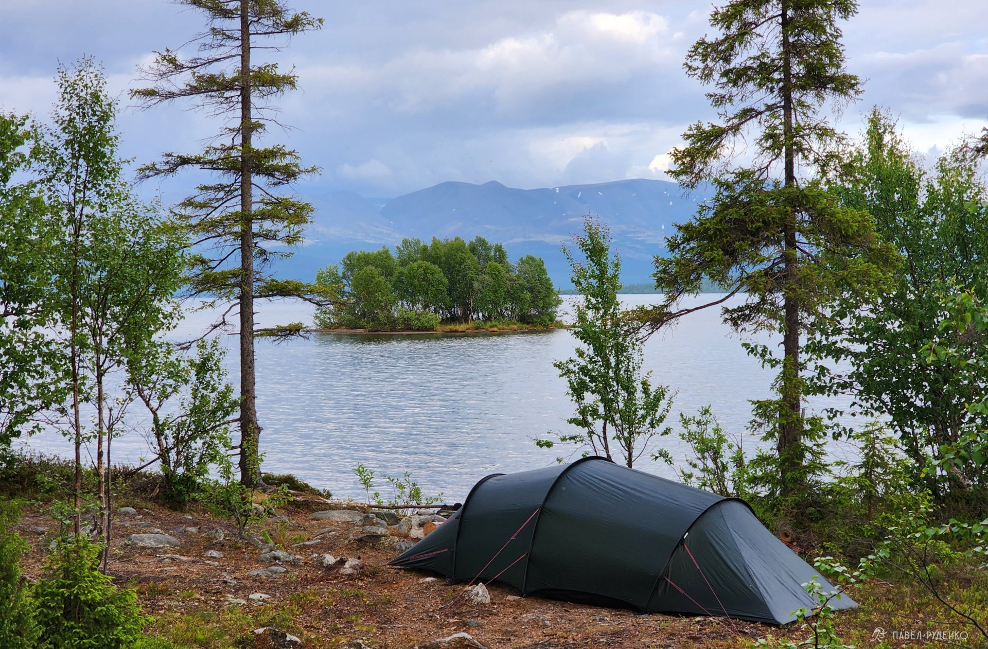
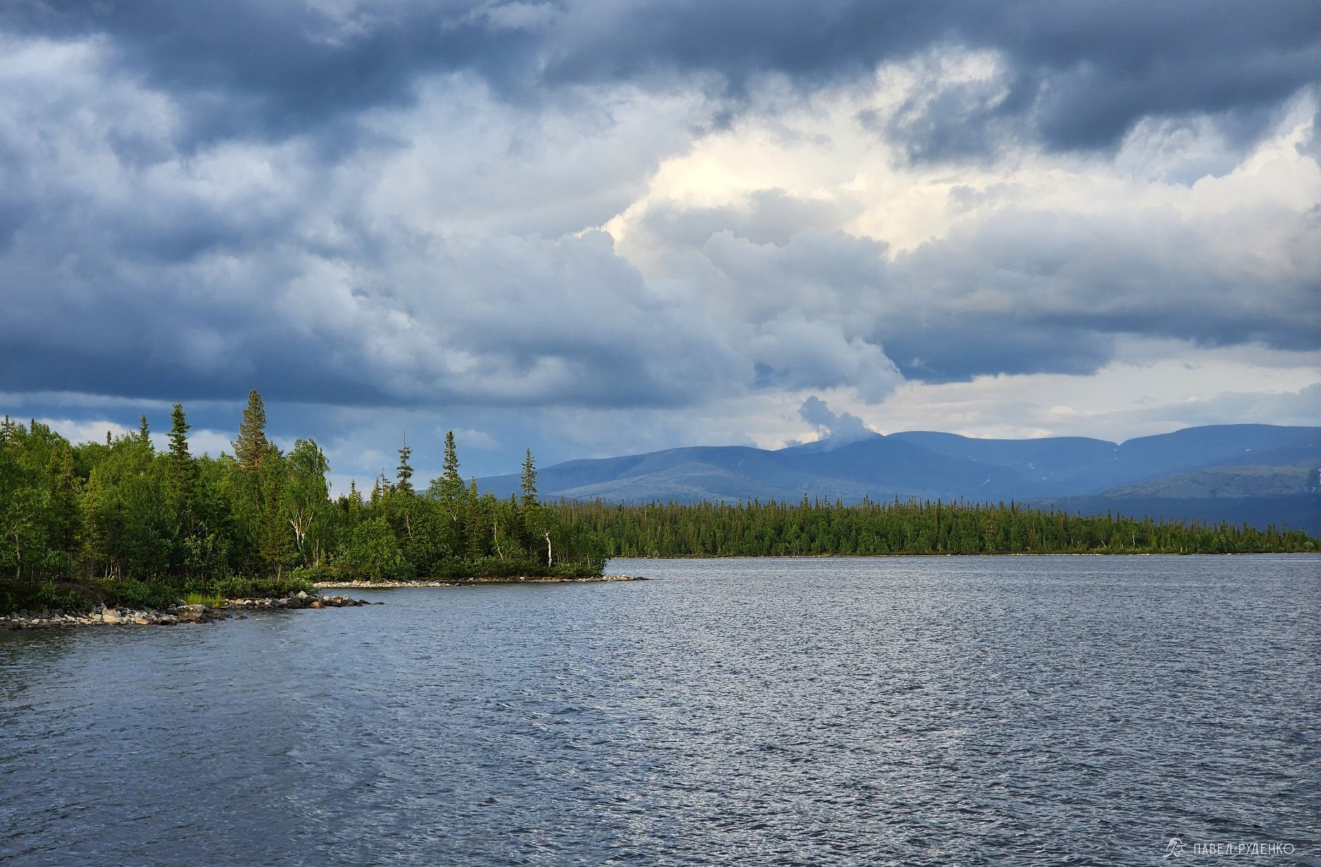
It is a circular route, leaving 20 km to the finish in Monchegorsk. If desired, you can shorten the route by turning off at the 40 km mark onto a paved road and catching a taxi from there. This flexibility makes the trail great for beginners: there are plenty of spots where you can either turn back or cut it short if the weather is fine and you want to spend more time in camp. This slightly shortened itinerary featuring my favorite scenic campsites is the one I’ll share.
Hiking season
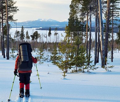
The trails are designed for snow-free hiking, typically from mid-June to late September. However, you can also do them in winter, which is exactly what I did in late March.
June and July mark the peak of the midnight sun with daylight around the clock, making it a wonderful time for a hike. Keep in mind that mid-July to mid-August is peak mosquito and blackfly season, so bring a head net, repellent spray, and a bite-relief stick.
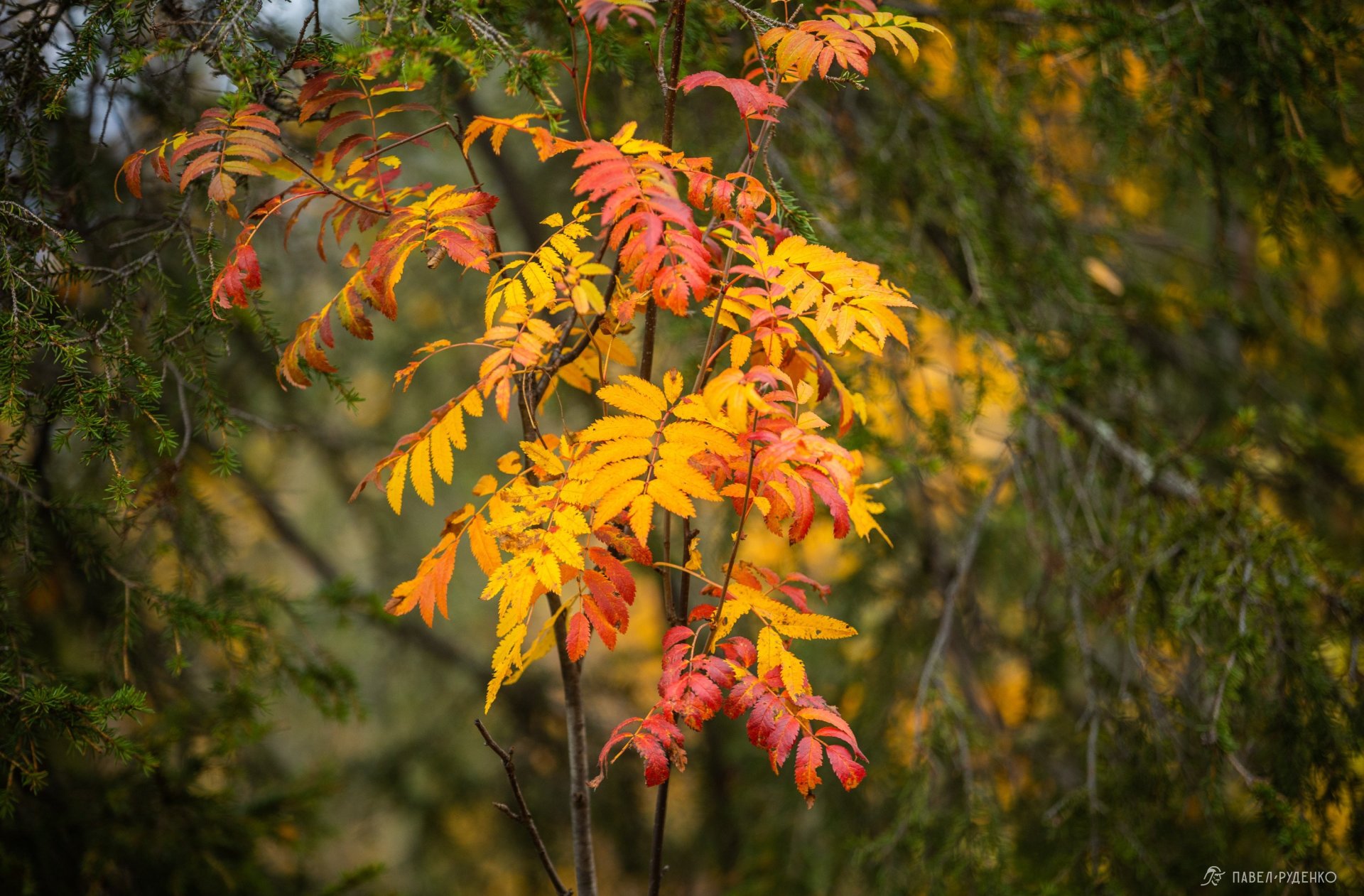
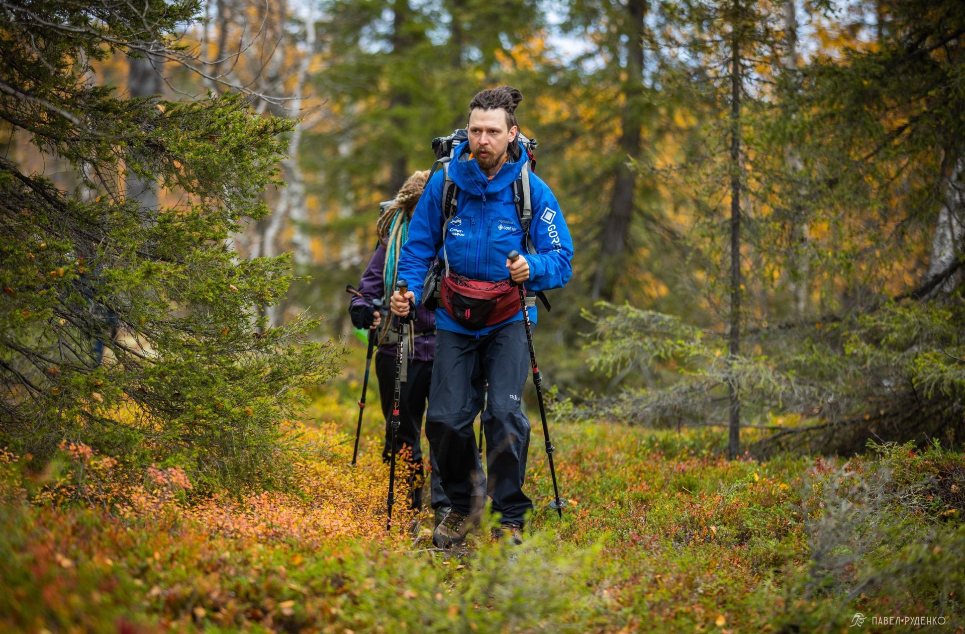
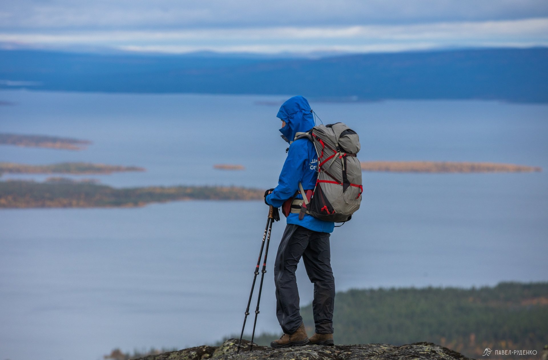
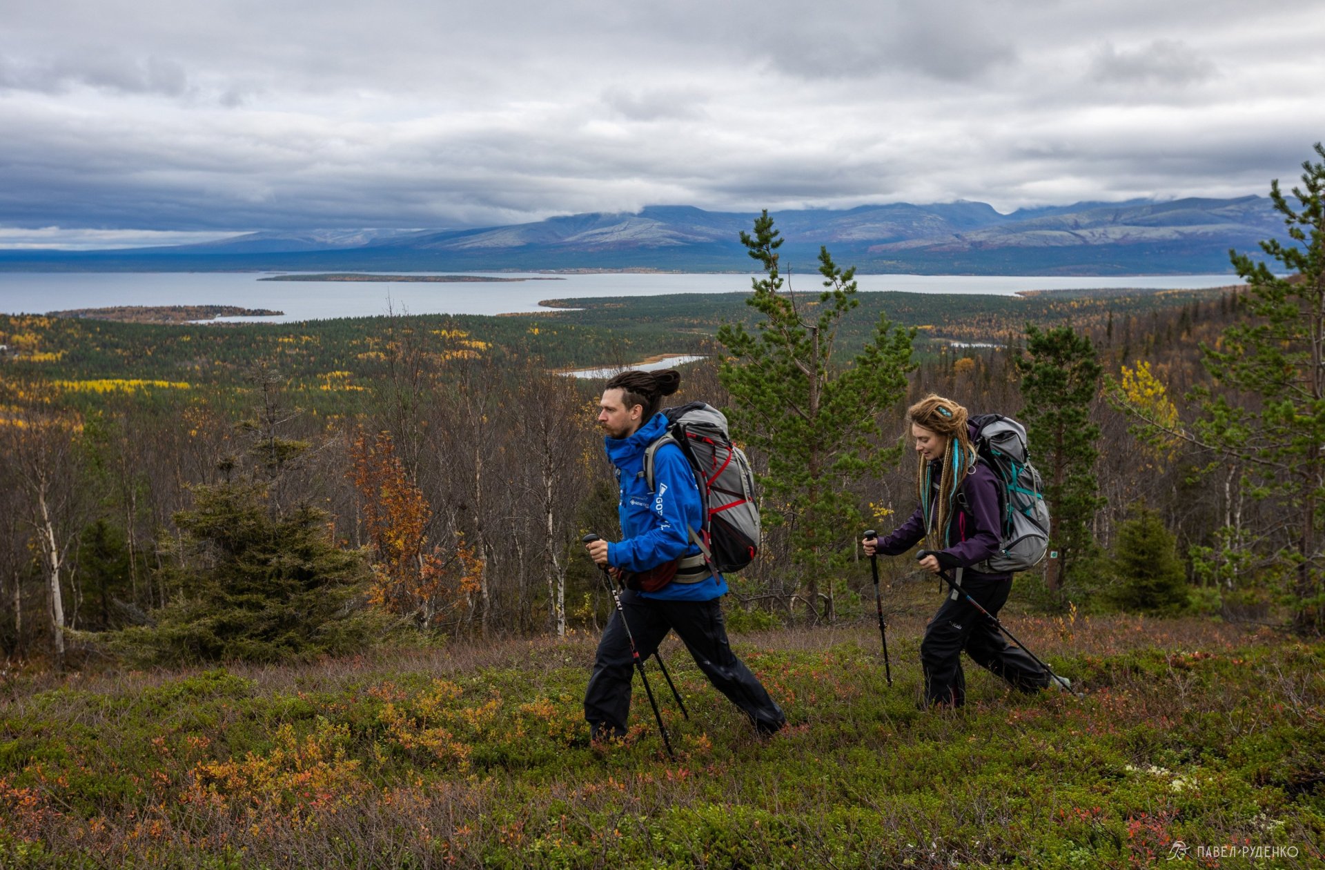
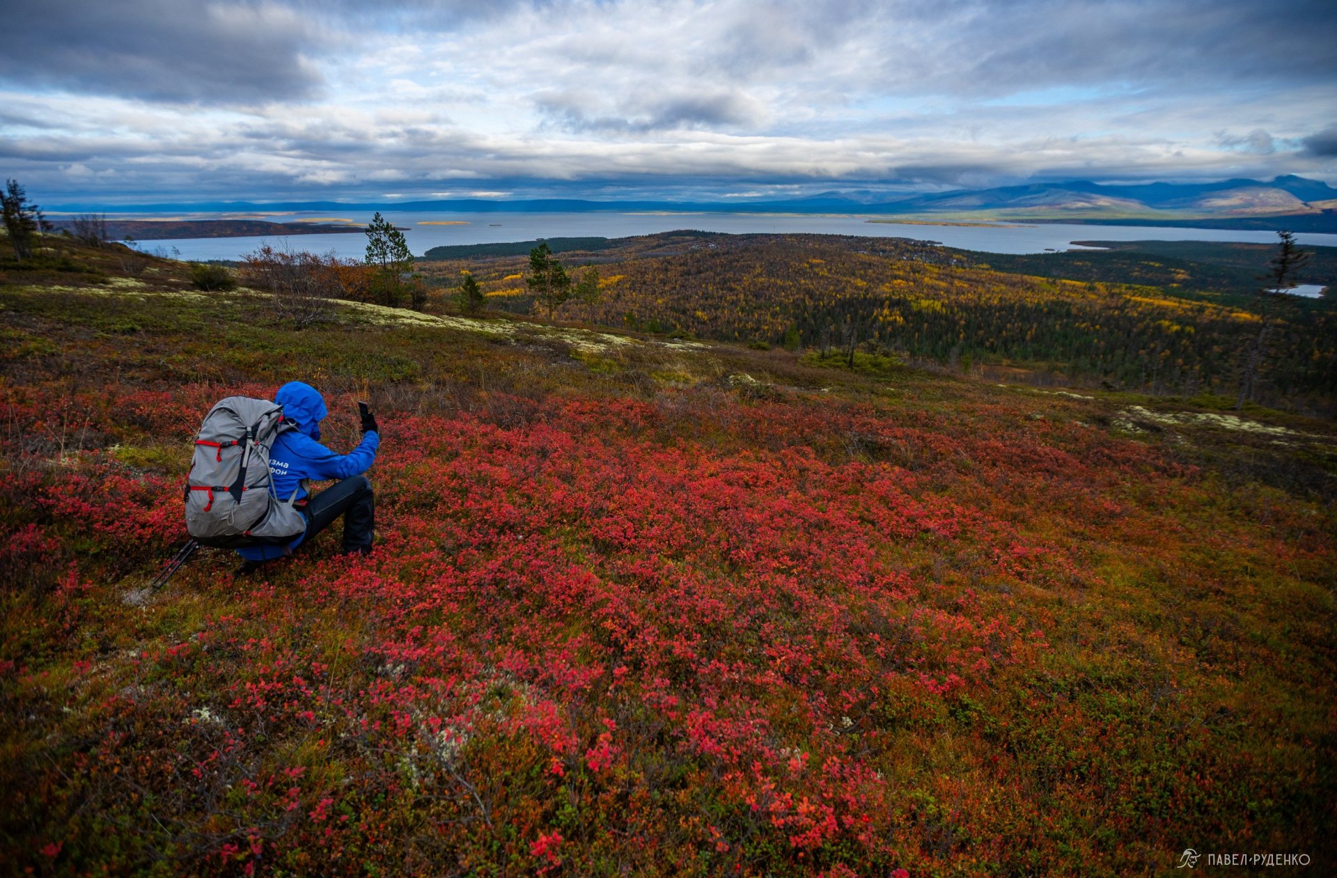
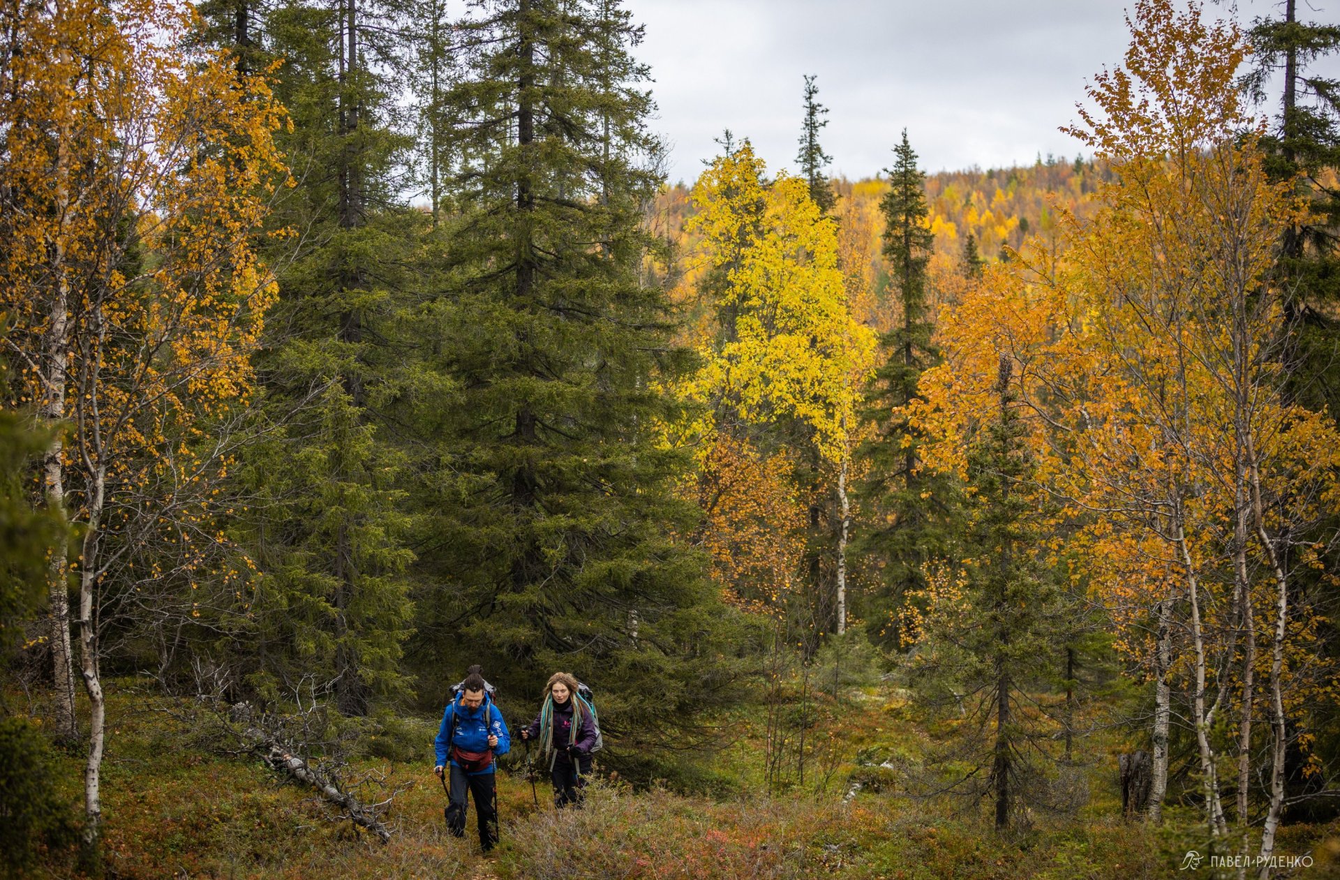
Golden autumn arrives in mid-September, bringing a chance to witness the Northern Lights—a truly special kind of beauty. I highly recommend this time for a trek.




Comments (0)