
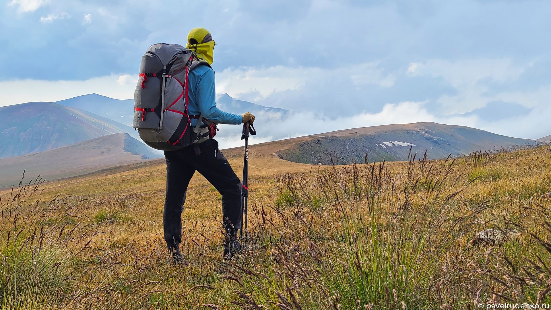
Transcaucasian Trail in Armenia
In 2022, a test section of the Transcaucasian Trail (TCT) was opened for adventurers across its 861-km Armenian section. Between June and August, I hiked 600 km of it, covering the most scenic locations. Last year, around 50 people completed the route (myself included); since then, the trail has been refined, with several difficult sections rerouted and better documented.
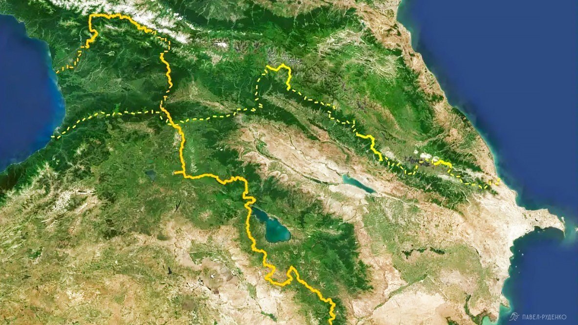
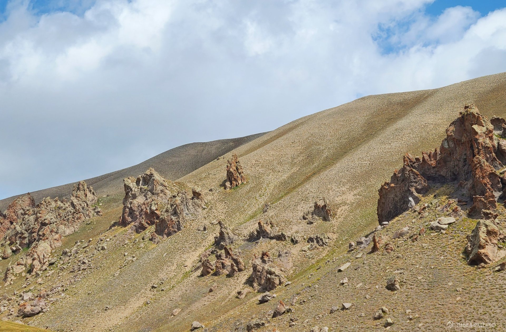
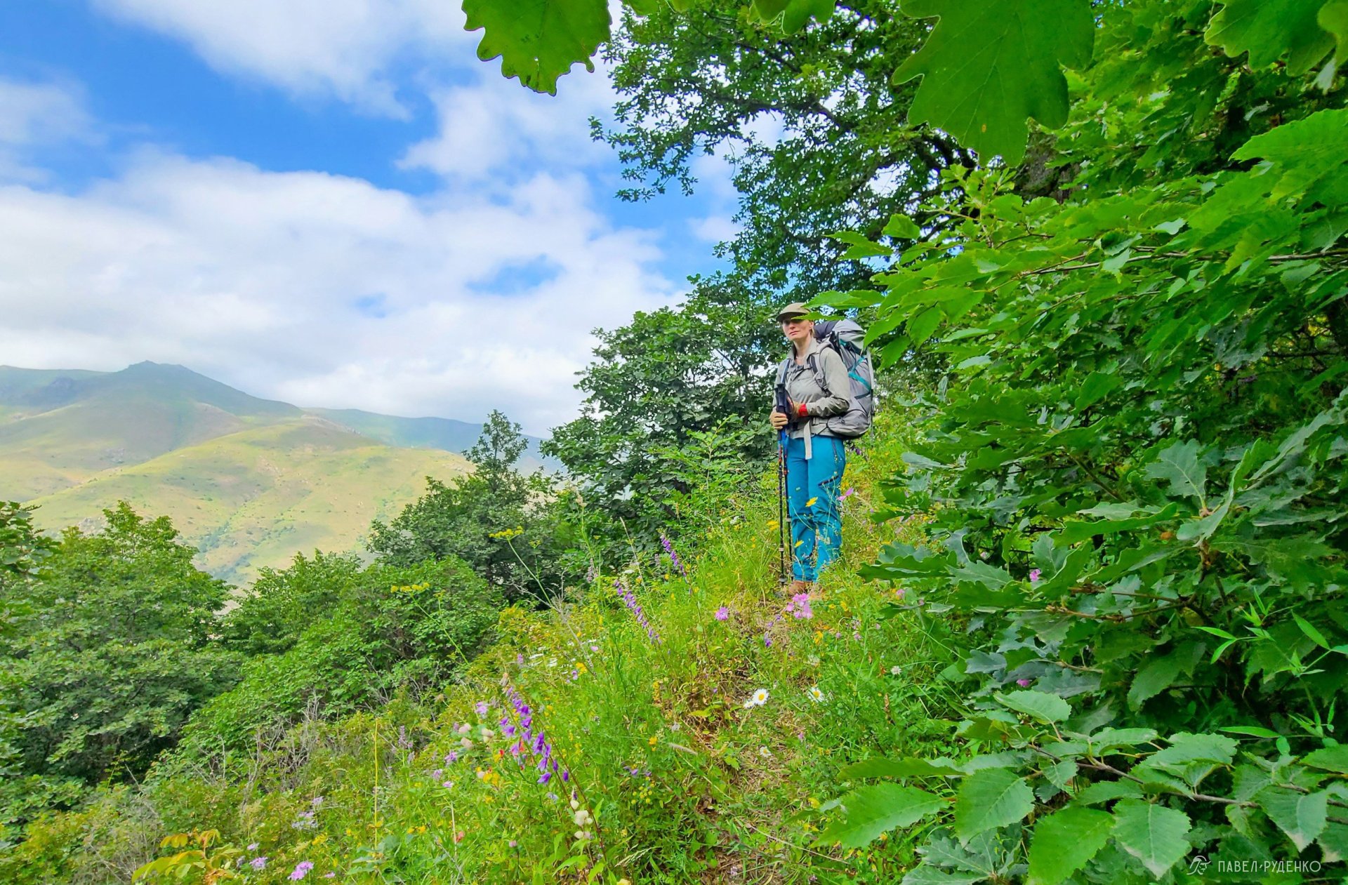
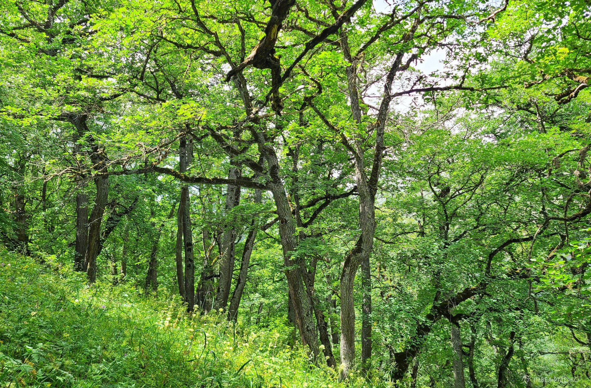
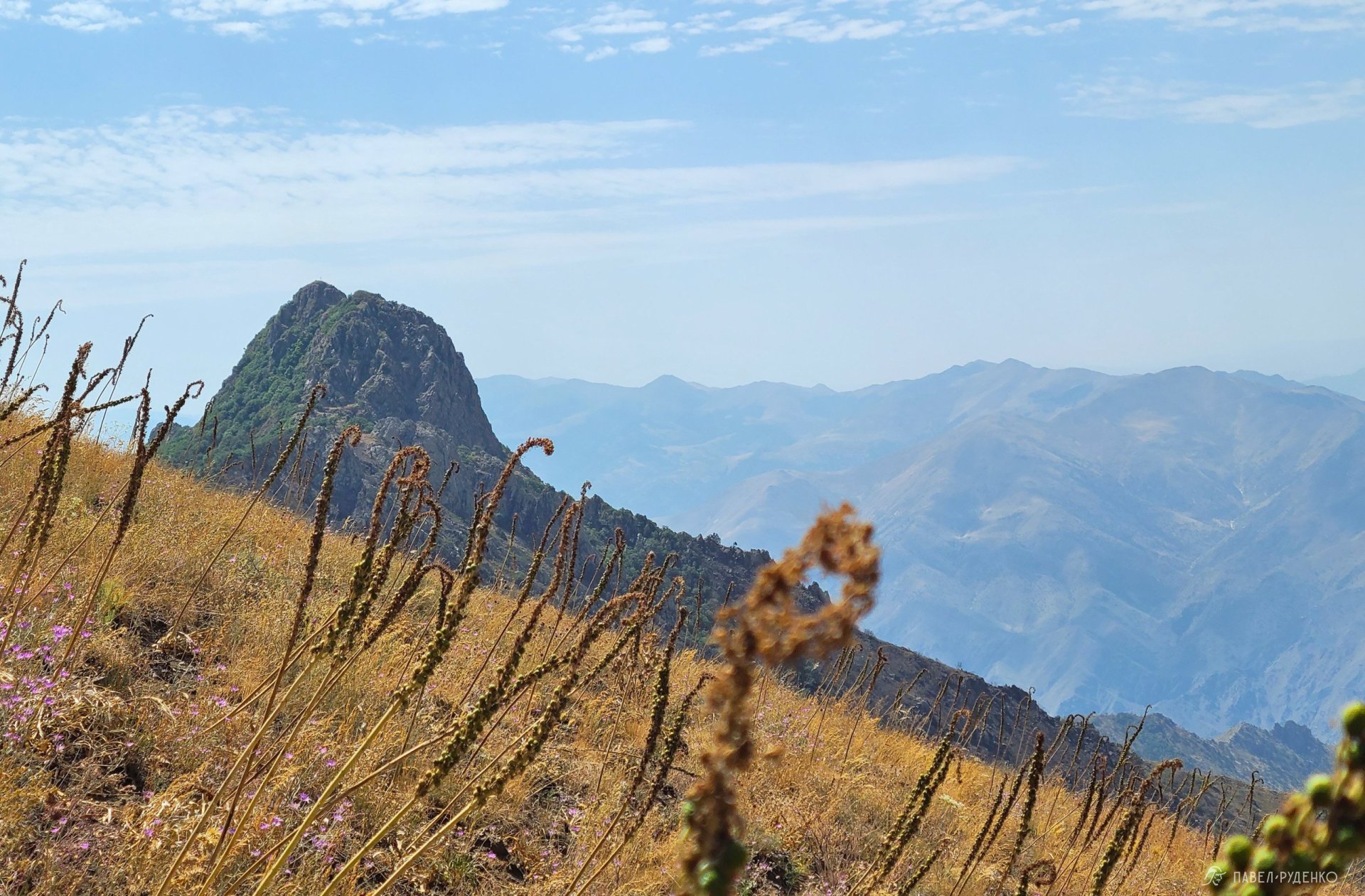
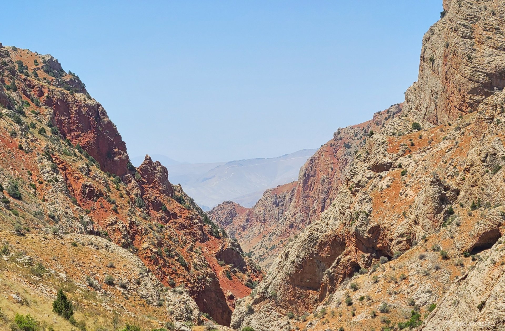
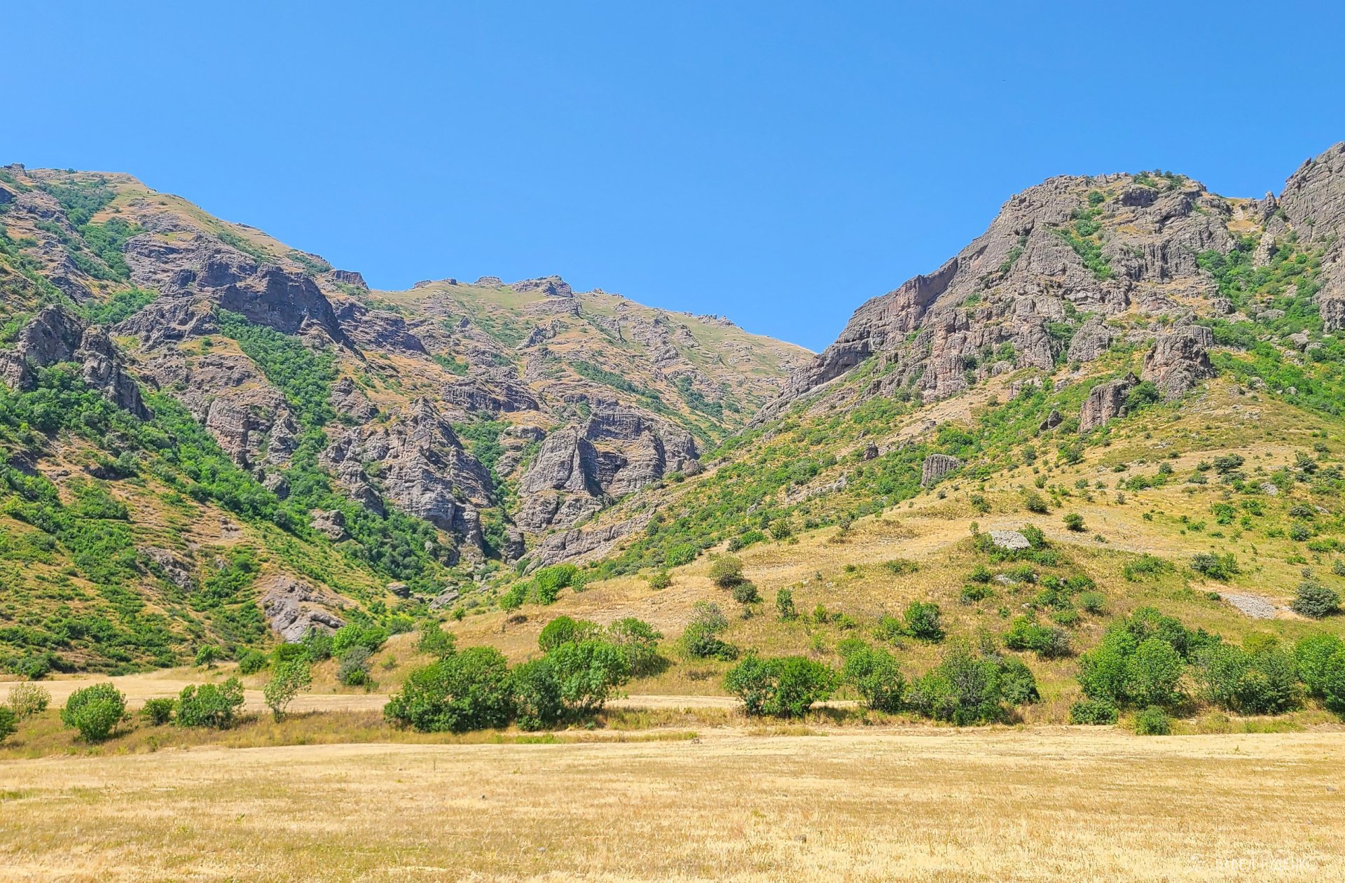
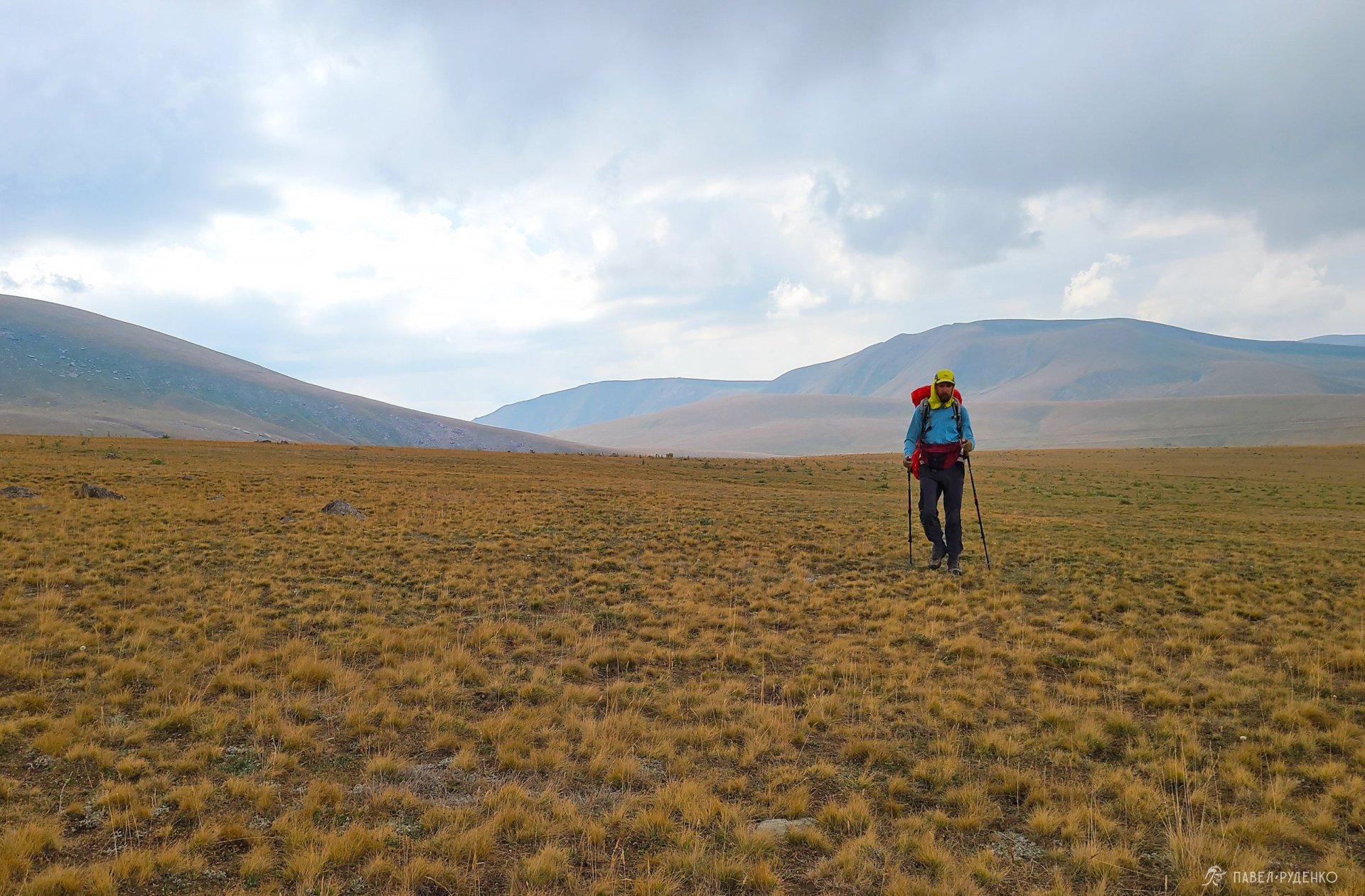
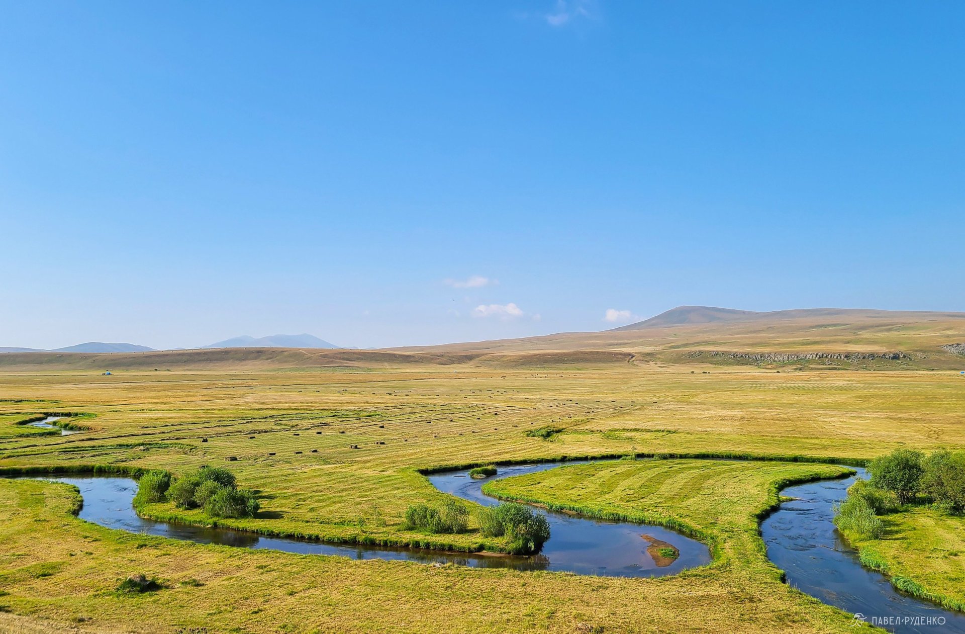
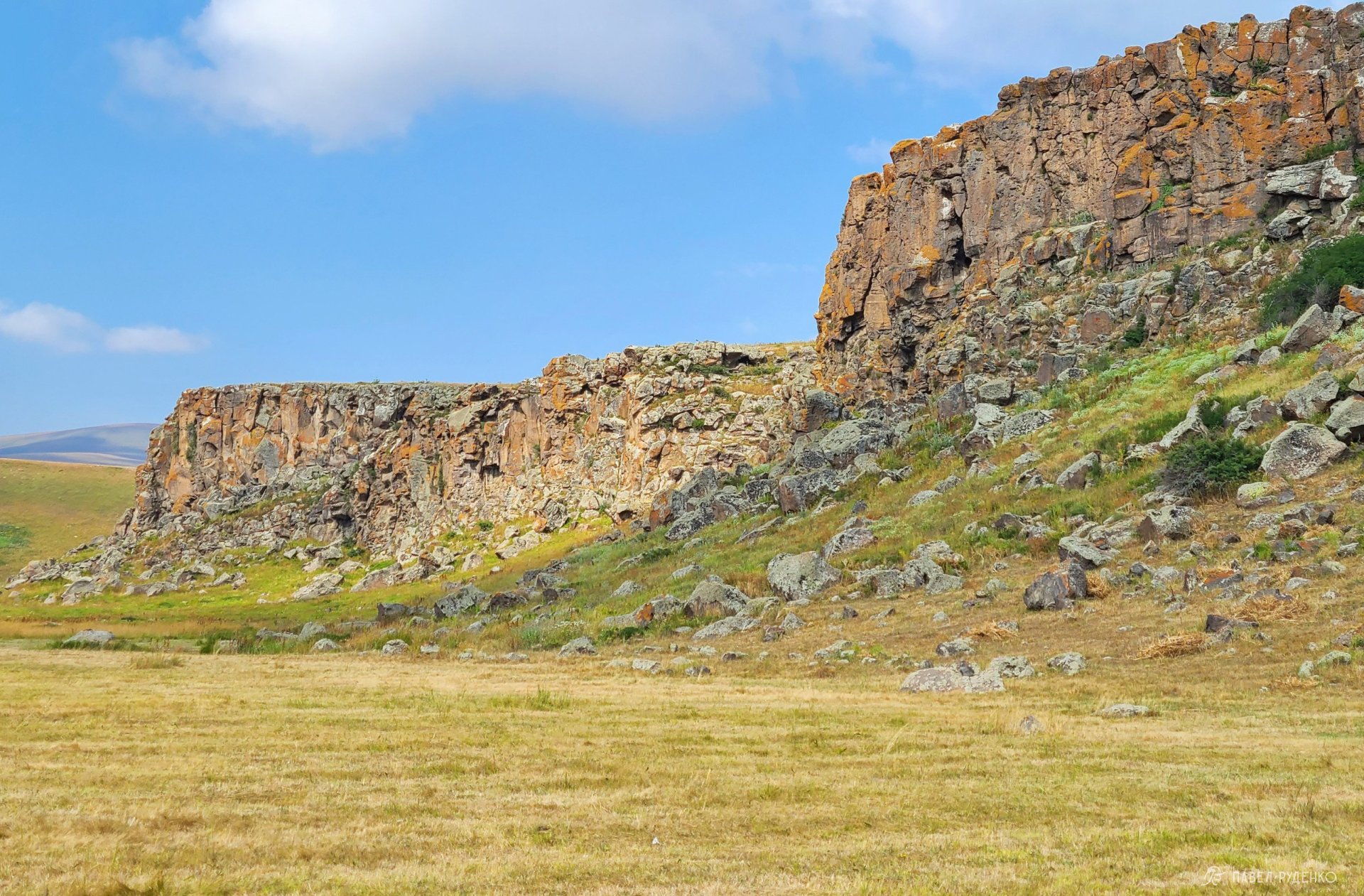
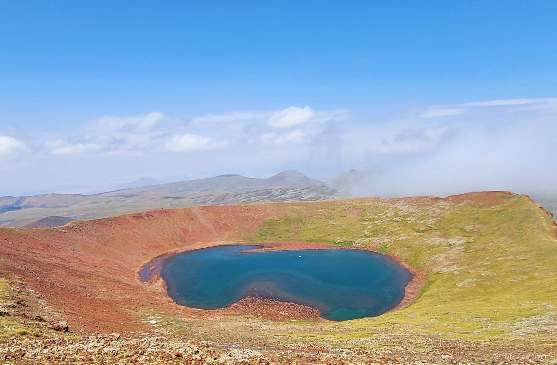
The trail runs from the southern town of Meghri, near the Iranian border, all the way north to Lake Arpi. It spans the country's mountainous terrain, passing through canyons in Tatev, treeless steppes, lush forested hills, the volcanic plateaus of the Gegham Ridge, as well as quaint villages, ancient churches, and historic ruins.
The trail also extends into Georgia, where active trail development is still underway, though the GPS route is already mapped out.
Best Season to Hike the TCT
Armenia has a dry, continental climate with hot summers and snowy winters. The trail traverses mountainous terrain, frequently climbing to 3,000 m above sea level. Because of this, an early thru-hike (in May, for instance) is challenging due to snowpack in high-altitude areas such as Arevik National Park in the south, the Gegham Ridge, and Dilijan National Park. However, May is a great time if you plan to tackle shorter, low-altitude sections.
In autumn, particularly September, the landscapes are stunning with rich red and yellow hues. However, after the blazing summer heat, many water sources run dry, which makes trekking more demanding, as you'll have to carry a full day's supply of water or more. Still, it is a wonderful time to explore selected sections of the trail.
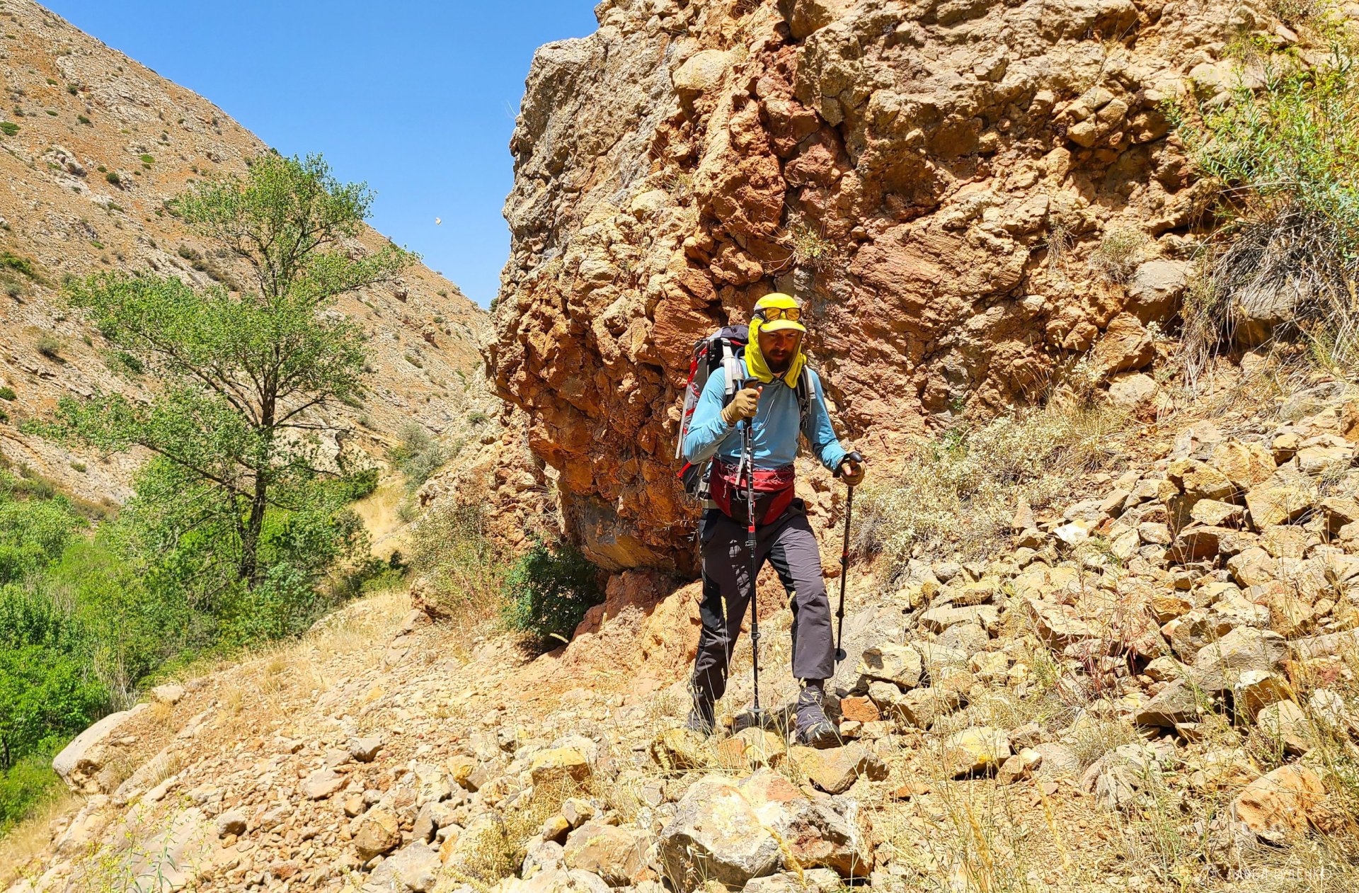
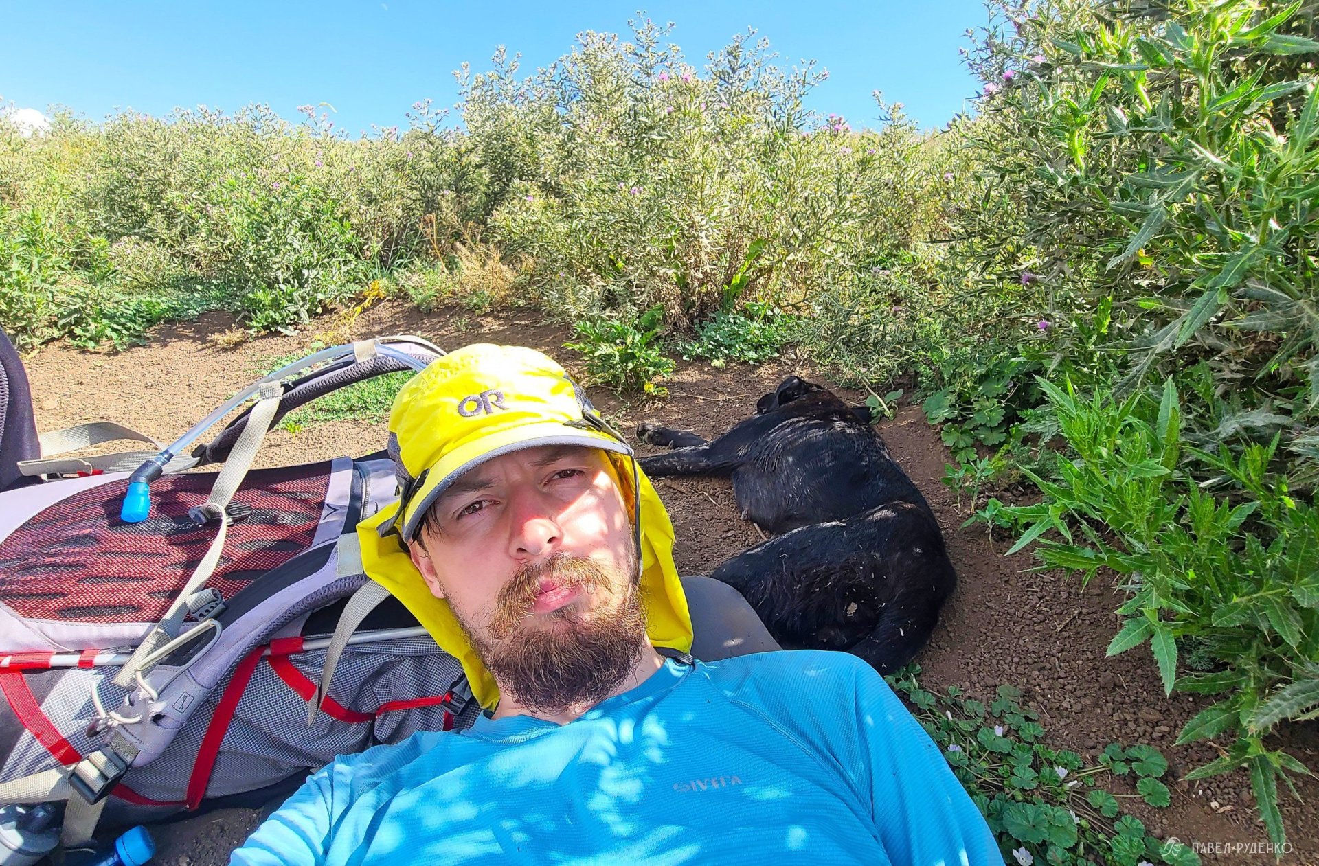
The optimal window for a full thru-hike is June through July. In June, you might still encounter patches of snow at higher passes, but streams are flowing strong, and temperatures are milder than in July and August, albeit with more frequent rain. I hiked the trail between July 19 and August 12—the peak of the heat wave. In Arevik National Park and the Vayots Dzor region, shade temperatures reached +40 °C. It was intensely hot, and I suffered three mild heatstrokes along the trek. It had its own charm and is doable, though far from optimal.
Direction of Travel: North to South or South to North?
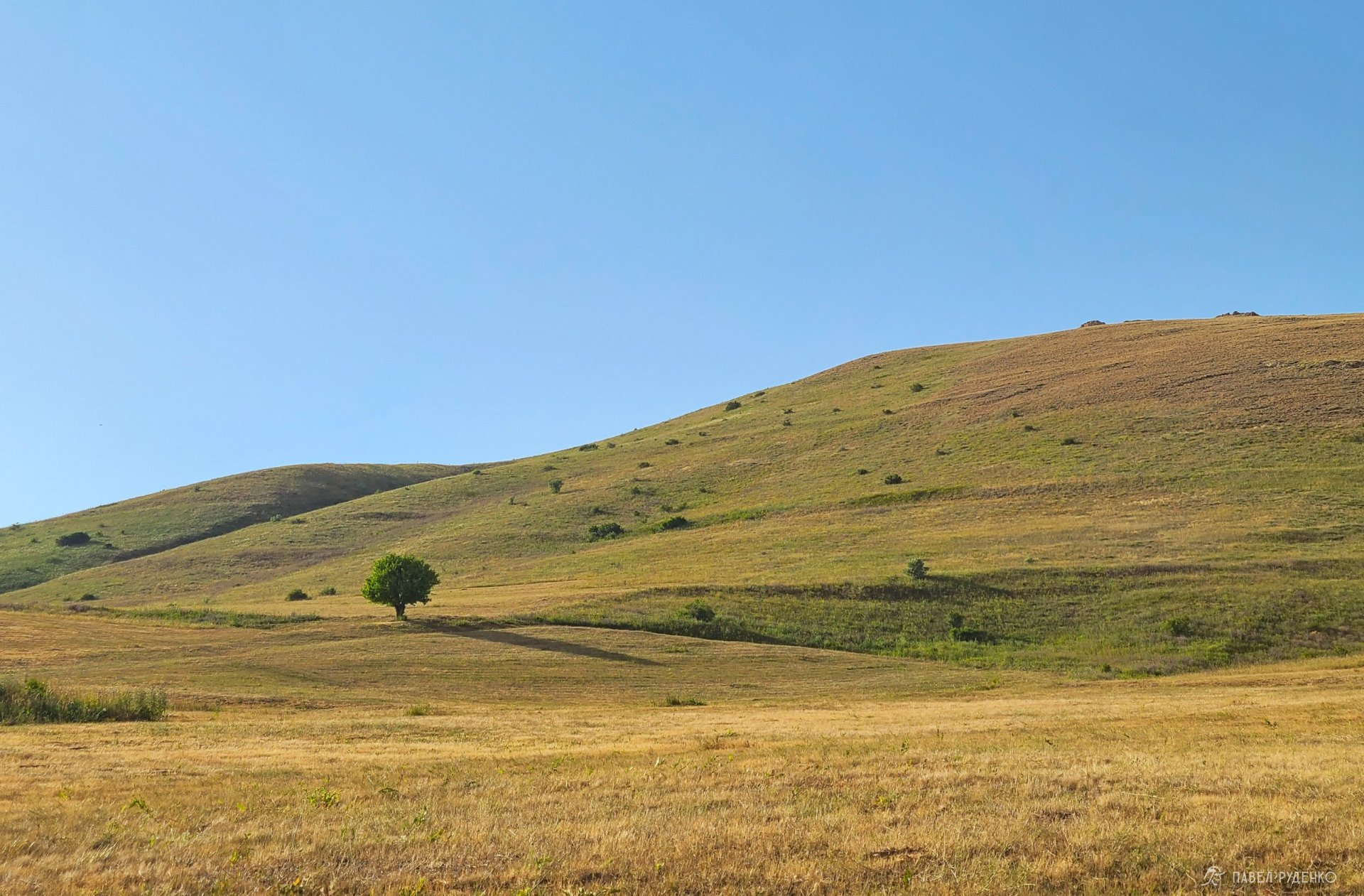
You can hike the trail in either direction. The key difference is that starting from the South immediately throws you into the wildest and toughest section: Meghri to Kapan (70 km, roughly a 5-day trek). It is demanding due to significant elevation gains and scarce water sources over the first 20 km. Starting from the North offers gentler elevation changes and hops from village to village, making it much easier to acclimatize smoothly.
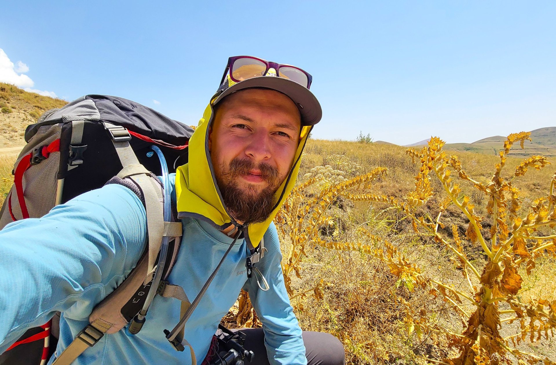
I started from the South for a couple of reasons. First, I hiked the initial leg with Anya, and it made sense to take on the most spectacular section together. Second, my inner perfectionist wouldn't let me start the TCT from the middle heading south, especially with plans to complete the entire route later—it just felt counterintuitive))
If you only plan to hike short sections (say, for about a week), I would recommend three primary areas:
Arevik National Park
Gegham Ridge
Dilijan National Park
Resupply: Food and Gas
I approach trails like this much like a cultural journey. You're in a different country, interacting with locals along the way. This setup lets you resupply frequently, which keeps pack weight down by carefully planning your resupply points.Stores can be found every 20 km at times, yet there is a 130-km stretch across the Gegham Ridge with no shops at all. You can count on well-stocked grocery stores in Meghri, Kapan, Goris, Sisian, Jermuk, Yeghegnadzor, Sevan, Dilijan, Alaverdi, and Stepanavan. While small compared to megacity supermarkets, they carry all the essentials.
Small village convenience stores can be found along the way, but keep in mind they might be closed. Potential spots include Verin Vachagan, Bekh, Tatev, Shamb, Bardzravan, Angeghakot, and possibly Gorayk, Jermuk, Artavan, Gladzor, Vernashen, Shatin, Hors, Gosh, and Tumanyan.
There are also local cafes and restaurants along the trail where you can treat yourself to a hearty, delicious meal))
Gas Canisters
Sourcing canister gas is a bit trickier. You can buy screw-on canisters in Yerevan. Here is the proven strategy I used: buy the total number of gas canisters you'll need, then mail them ahead via the Armenian national postal service (HayPost).
You will need a passport and a local SIM card phone number. Rates are very affordable, and parcels with gas canisters are accepted without hassle.
Calculate your fuel consumption, pick post offices along the route, and ship your supply drops there. Double-check the holding period at the post office—usually it is around 3 weeks.
Most importantly, remember that post offices may be closed on weekends.
Some rural shops stock aerosol-style nozzle (bayonet) canisters, but availability is hit-or-miss. I carried an adapter, but on several occasions found that what looked like a stove canister was actually lighter fluid. They look similar, so be prepared for surprises.
Language & The Local Community
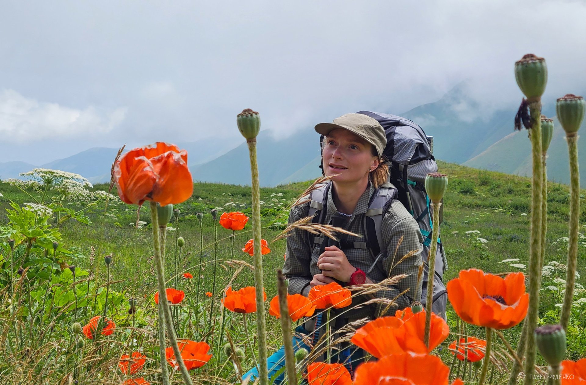
I felt exceptionally welcome and safe throughout Armenia. Interactions with locals were consistently warm, without a single hint of aggression or tension—and I am quite perceptive to such things. In remote settlements, field workers and shepherds—even when we lacked a common tongue—greeted me warmly once they realized I was a traveler from Russia. Whenever possible, I stopped to chat, asking about their daily lives and perspectives, which gave me a profound appreciation for Armenian culture and hospitality.
As for communication, more than half of the people I met speak Russian—some fluently, others brokenly, but basic communication is never an issue.
A quick note on regional geopolitics—strictly based on my observations, which may be partial: Armenia remains in a complex border conflict with Azerbaijan, supported by Turkey. While tensions flare periodically, the situation continues to evolve toward border delimitation. Before your trek, always check up-to-date travel advisories and news for any border escalations. Armenian-Georgian relations are generally diplomatic yet nuanced, while relations with Iran are stable and primarily economic.
Tent Camping & Guesthouses
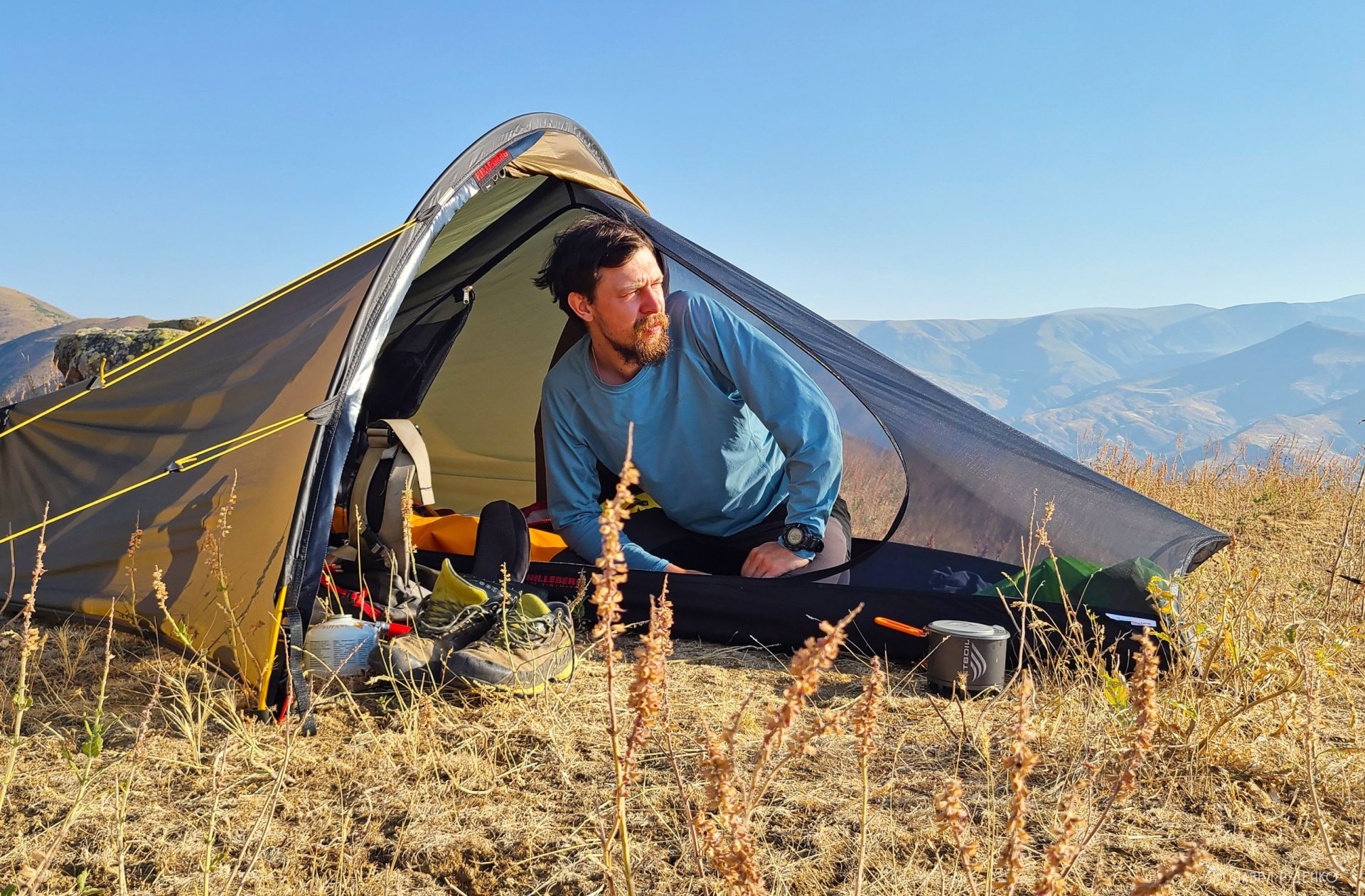
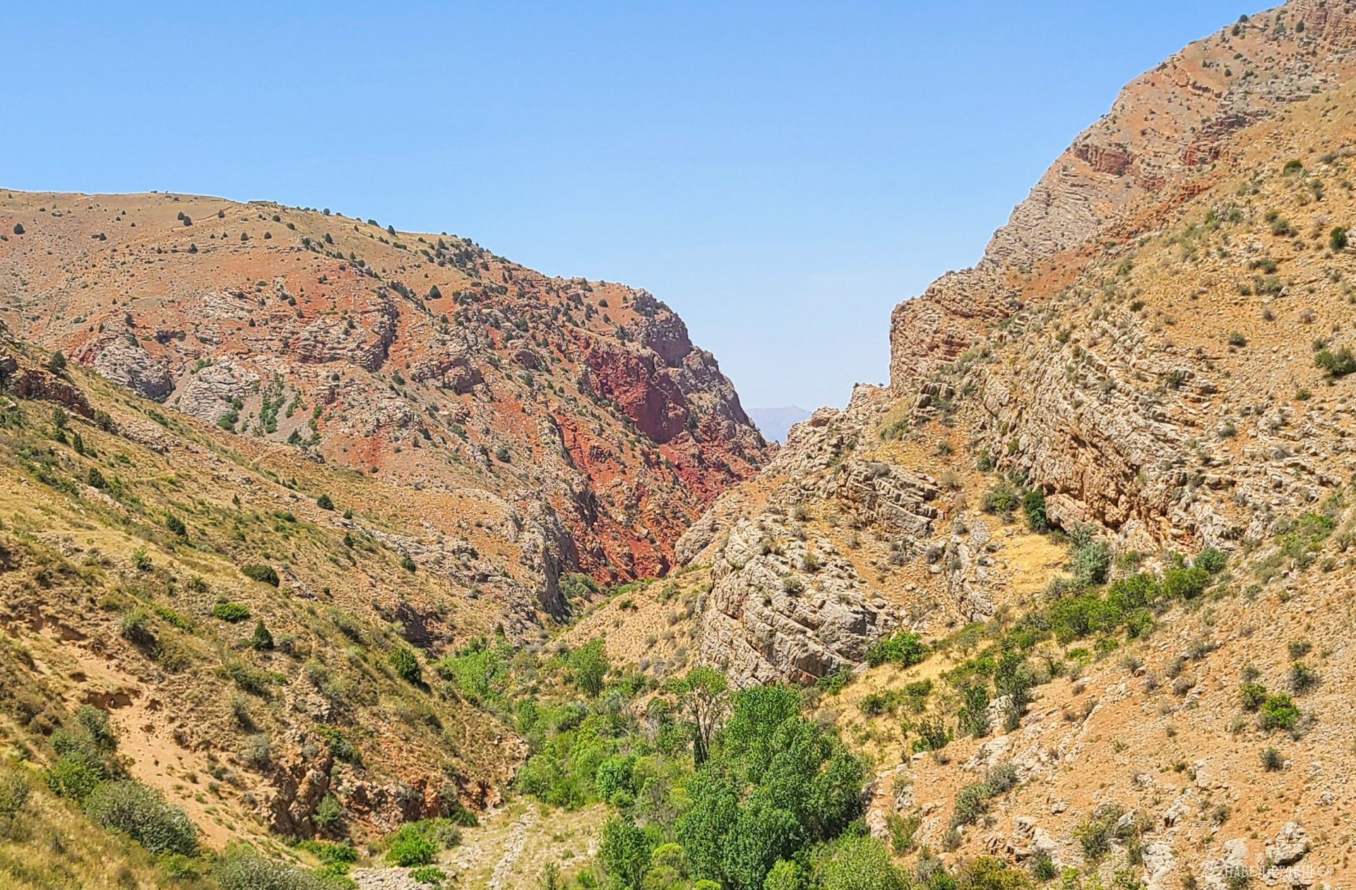
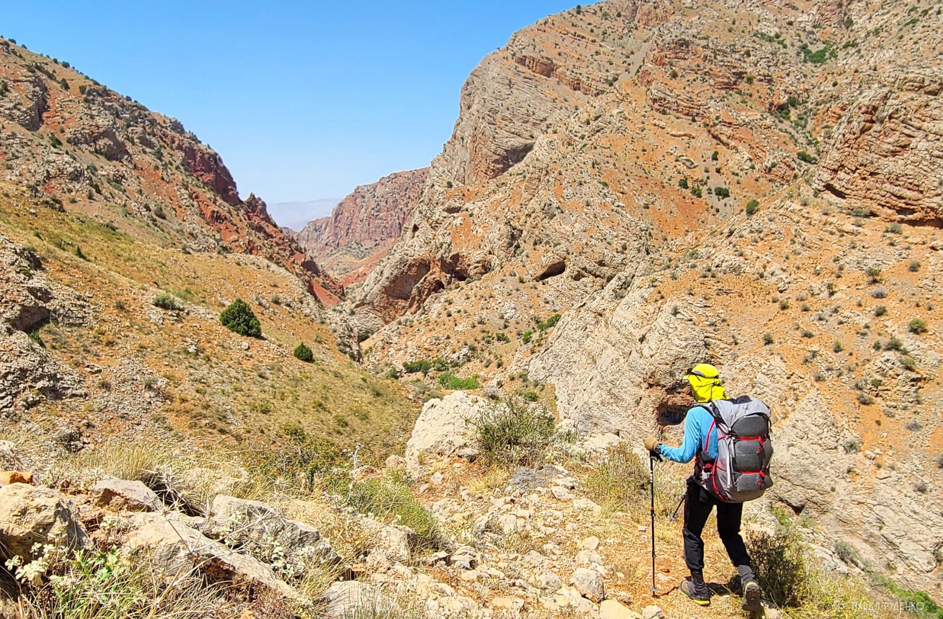
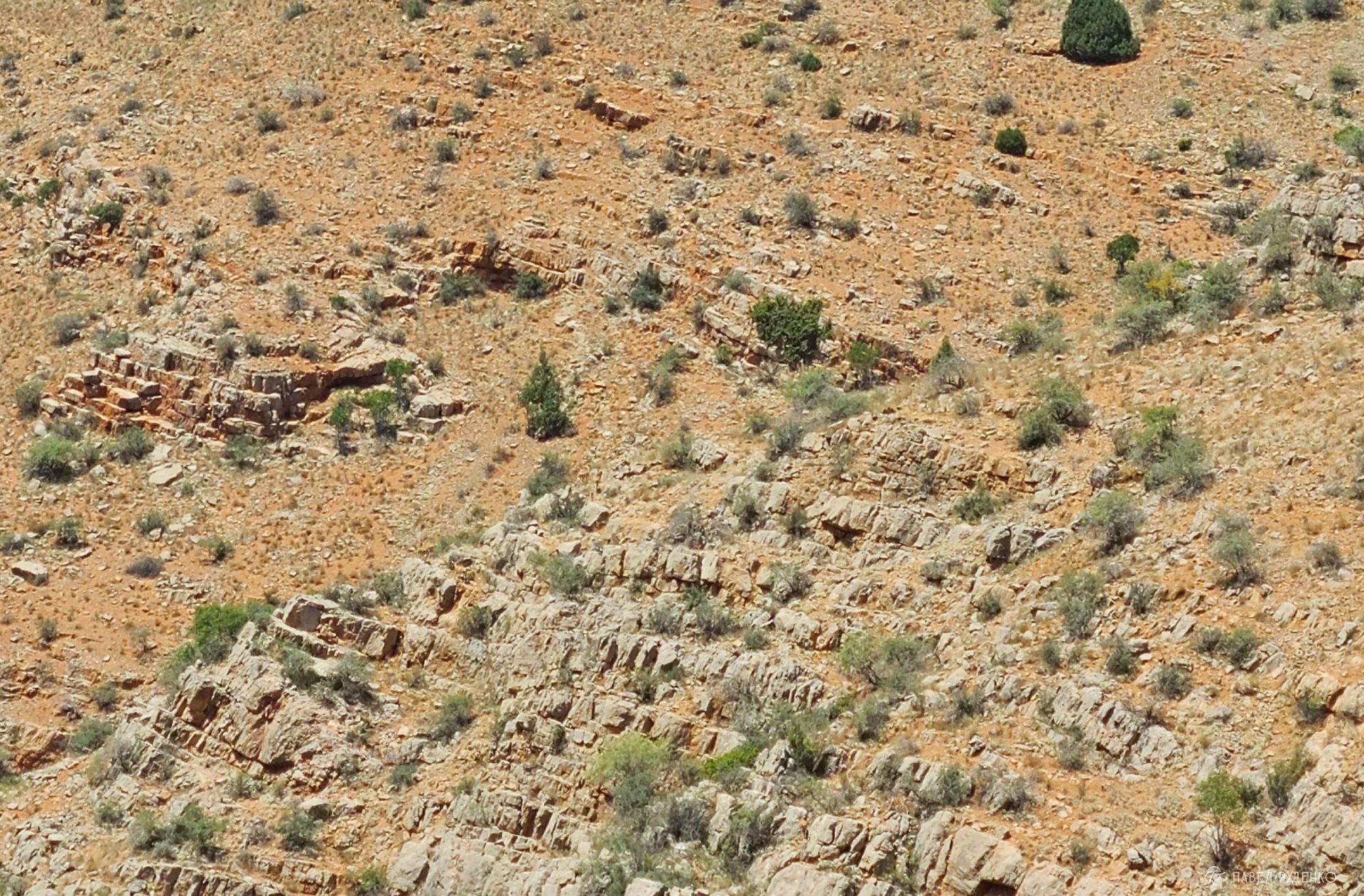
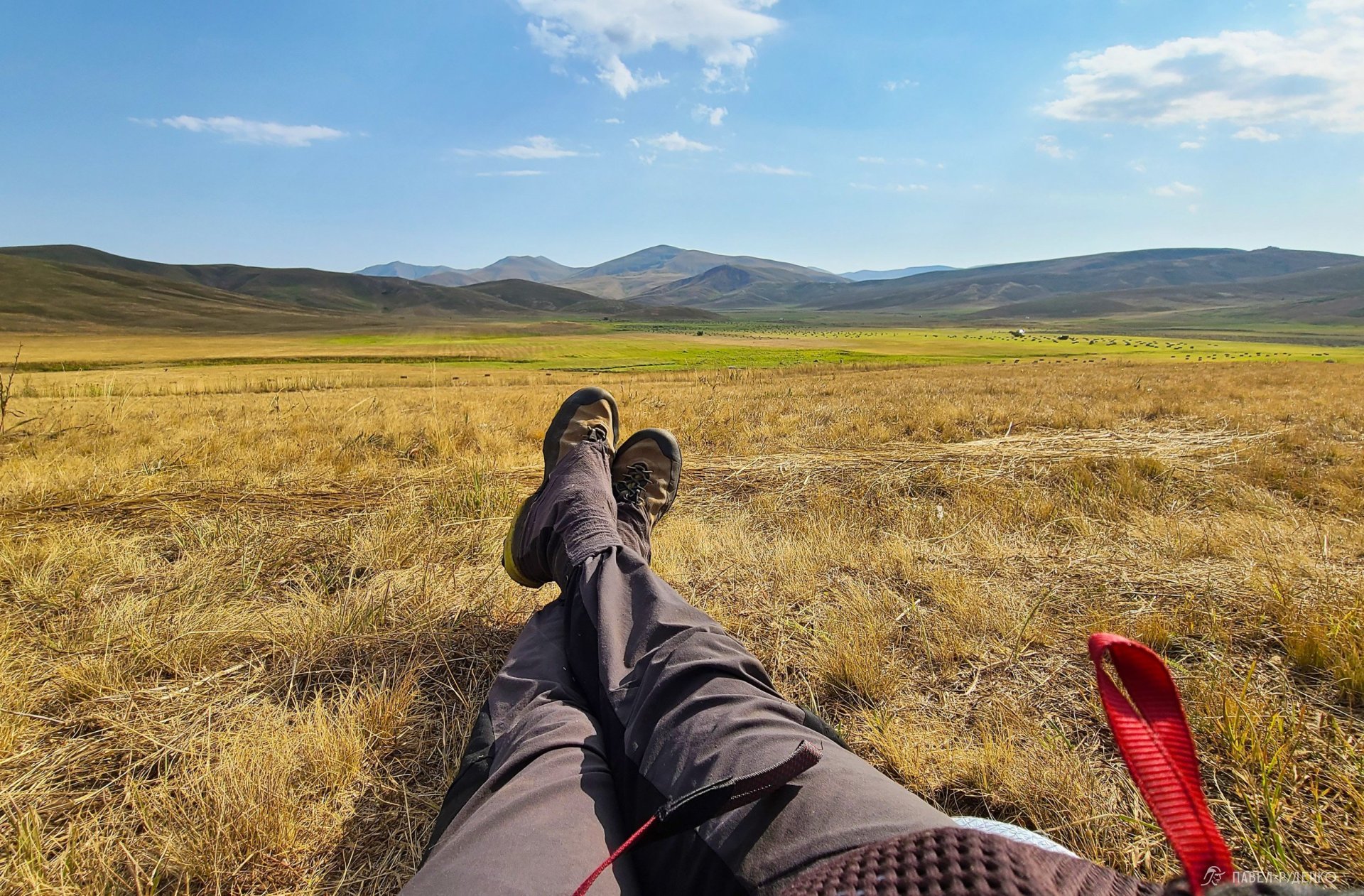
Wild camping along the Transcaucasian Trail is hassle-free. Most open land is public with virtually no fences, allowing you to pitch your tent wherever convenient, picking prime scenic spots. The only real constraint is steep mountain terrain, such as in Arevik, where the trail hugs narrow ridges and flat pitch sites are scarce.
In villages and towns, you can easily stay at local guesthouses or hotels. Guesthouses are by far the most rewarding experience: they are cozy, comfortable, and frequently include a generous, home-cooked dinner prepared by the host. I booked most of mine via Booking.com, which operates smoothly across Armenia.
Water on the Trail
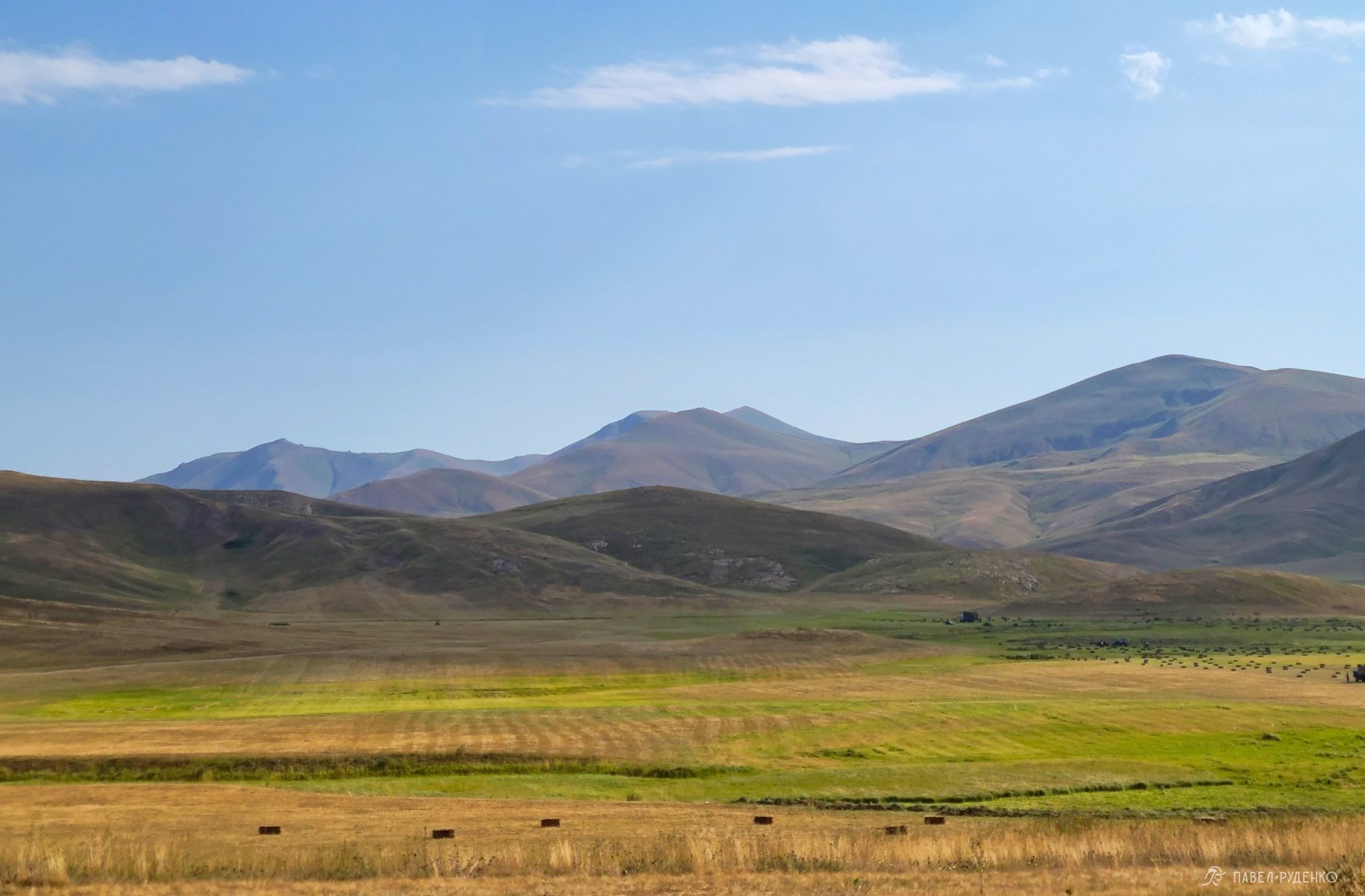
There aren't many rivers here where you can drink clear water and cool off in the heat)) There are small streams, often literally 10–20 cm wide and overgrown with grass. In June, there is still enough water, but with the arrival of the hot summer they dry up, and you'll increasingly need to play it safe and carry extra water.
Due to the large number of grazing livestock, I strongly recommend using a water filter. You're hardly going to boil water in +30–+40°C heat just to drink a hot cup, and you'll need a lot of water)
In places, you'll encounter special drinking troughs with spring water—it's cold and clean, a real treat on the route. You can always ask the locals for water in the villages as well.
The Transcaucasian Trail team marked all water sources on OpenStreetMap, making it quite reliable to navigate by them.
Gear
Camp Gear
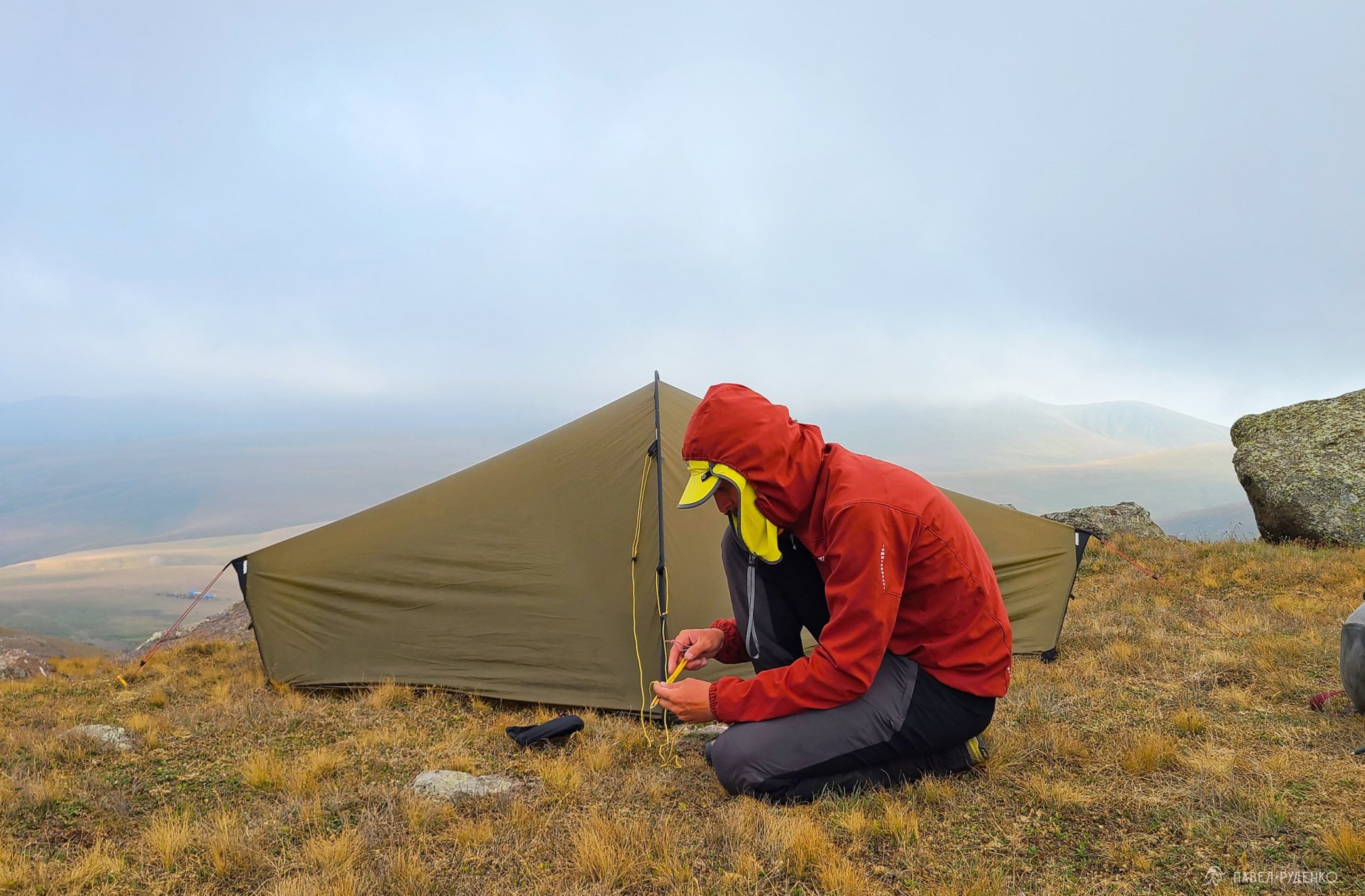
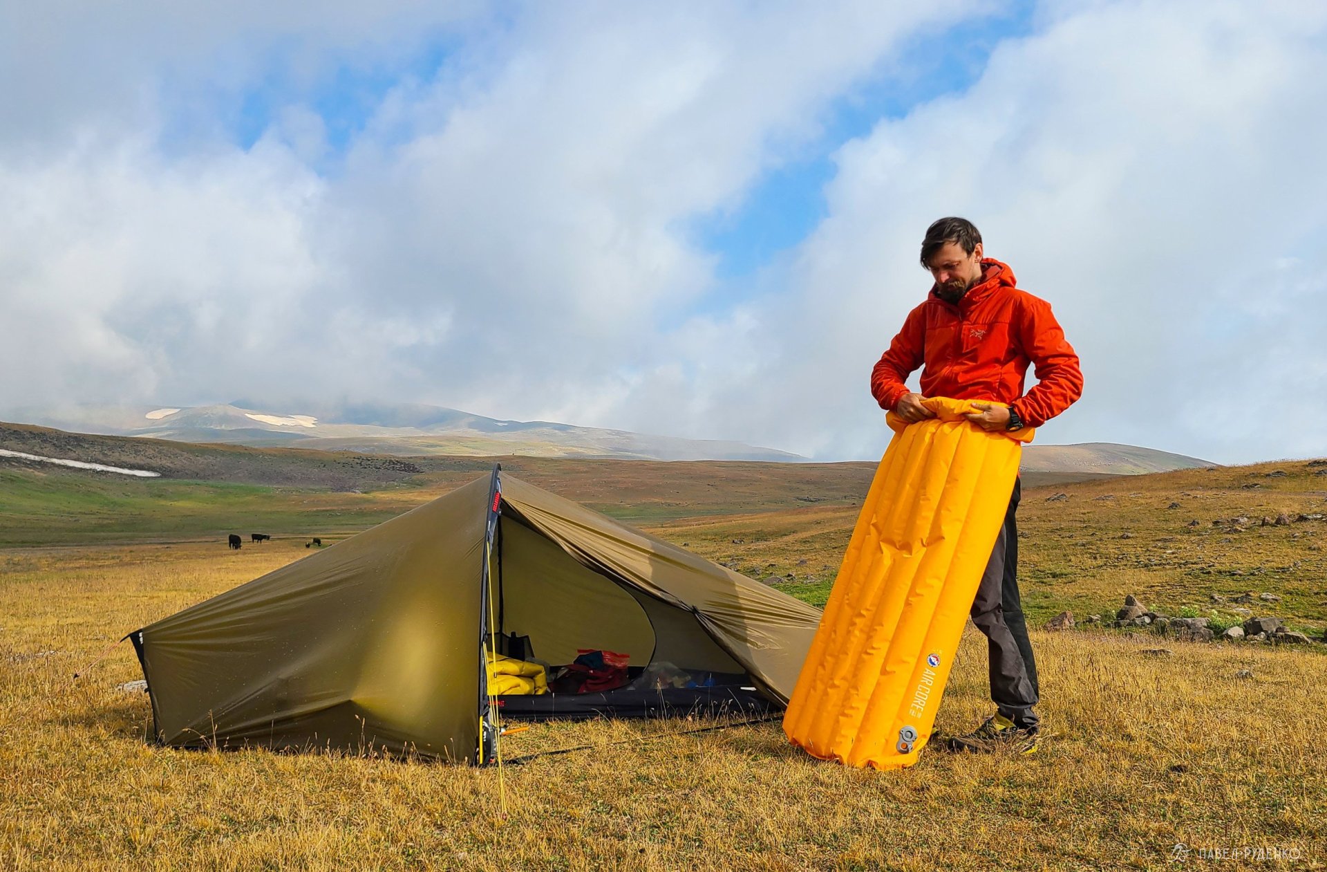
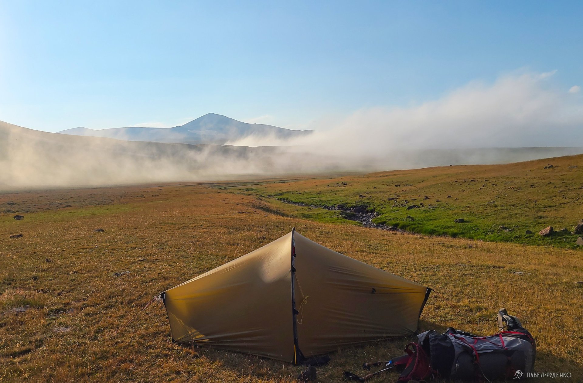
Tent: Hilleberg Enan — 1,200 g
Sleeping bag: Splav Graviton Light +6C — 505 g
Sleeping pad: Big Agnes Air Core Ultra 1.4 R-value — 510 g
Foam mat: Sirex 4 mm trimmed — 70 g
Pillow: Big Agnes Rapide SL Pillow — 50 g
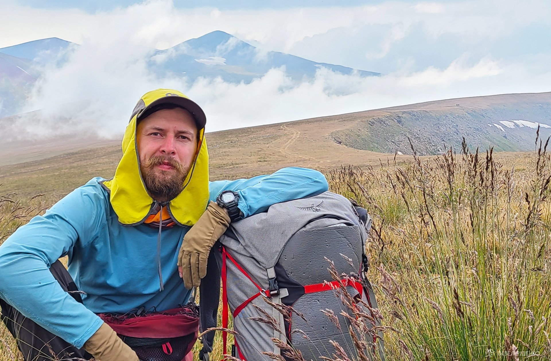
Backpack: Osprey Aether PRO 70L — 1,550 g
Packed Clothing
Hardshell jacket: Sivera Gvor Pro — 187 g
Softshell jacket: Sivera Murash — 243 g
Insulated jacket: Arc'teryx Proton LT — 375 g
Base layer pants: Sivera Geta P — 94 g
Waterproof socks: Dexshell — 100 g
Trekking socks: Decathlon — 41 g
Buff neck gaiter: Buff — 38 g
Worn Clothing
Shoes: La Sportiva Boulder X — 950 g
Softshell pants: Decathlon — 300 g
T-shirt: Sivera Geta D — 105 g
Cap: Outdoor Research Sun Runner Cap — 79 g
Gaiters: Outdoor Research — 49 g
Gloves: Decathlon — 23 g
Fanny pack: Klättermusen Fimmafäng 4.0 7L — 430 g
Socks: Decathlon — 41 g
Trekking poles: Leki Khumbu — 554 g
Underwear: Decathlon — 52 g
Cookware & Water
Stove system: Jetboil Stash stove + pot — 200 g
Folding fork — 15 g
Tea infuser — 5 g
Water bladder: HydraPak 4L — 110 g
Hydration reservoir: Decathlon 1 L — 80 g
Water filter: Katadyn BeFree — 61 g
Hygiene
Tongue scraper, toothbrush, tooth powder, scissors, foot file — 75 g
Electronics
Phone: Samsung Galaxy S22 Ultra — 228 g
Power bank: Nitecore 20,000 — 324 g
Tripod 120 cm — 450 g
GPS Navigator: Garmin eTrex 20x — 100 g
Compass: Moscompass — 38 g
Watch: Casio Pro Trek — 70 g
Backpack top lid organizer — 160 g
Pocket monocular x7 — 45 g





Comments (0)