
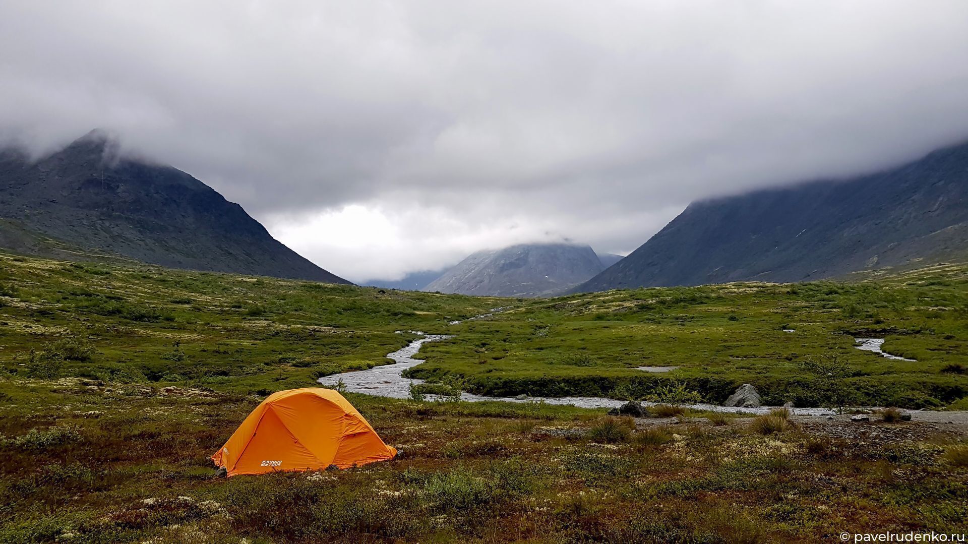
Khibiny. Solo trek in August
I planned my first trip to the North as follows: a week-long trek across the tundra around Teriberka, six days in the Khibiny Mountains, and then a week on the Solovetsky Islands — to reflect on everything I'd seen, so to speak))
From Teriberka to Murmansk, I took a bus carrying participants of the Arctic Swim event. From central Murmansk, I caught trolleybus No. 10 to the final stop, Geroev Rybachyego Street, walked 400 m to the highway, and started hitchhiking.
Sign up for the best treks across the Kola North:
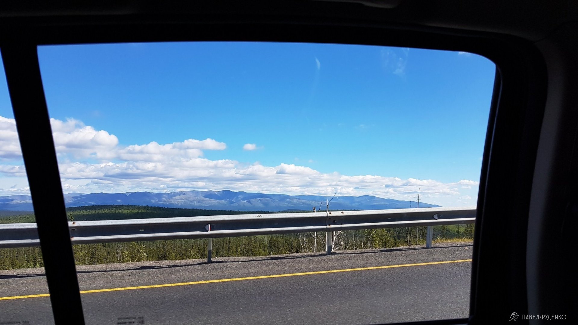
The first ride to stop was a van with poachers. The guys asked where I'd been, were shocked that I was hiking without a gun, and immediately gifted me some fishing tackle. Then a rocker in leather gloves pulled over — though he was over 50, he was young at heart and blasting heavy tracks; along the way, we picked up a guy heading to Petrozavodsk for work, and that's how I got to Monchegorsk. An unusual place: nature took a hit from the local smelter, but the situation is already much better than back in the 2000s. Next, a young woman and her mom gave me a lift to Apatity. There, by chance, I met a guy who had moved from Donbas to Kirovsk looking for a quiet life. He kept wrestling with the thought and saying he was almost ready to drop everything and join me for a week just to get away from it all)))
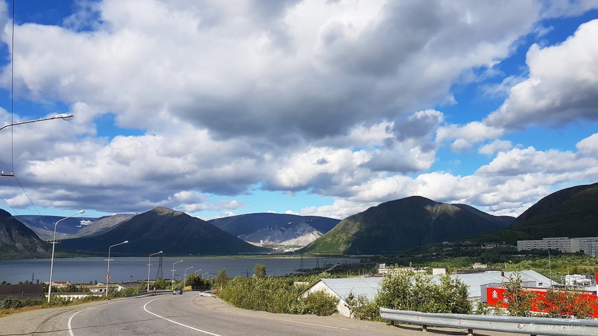
The Khibiny trek took place from August 15 to 19: 5 days, 71 km. Starting in Kirovsk and finishing at the Imandra railway station.
You can download paper maps and the GPS track here:
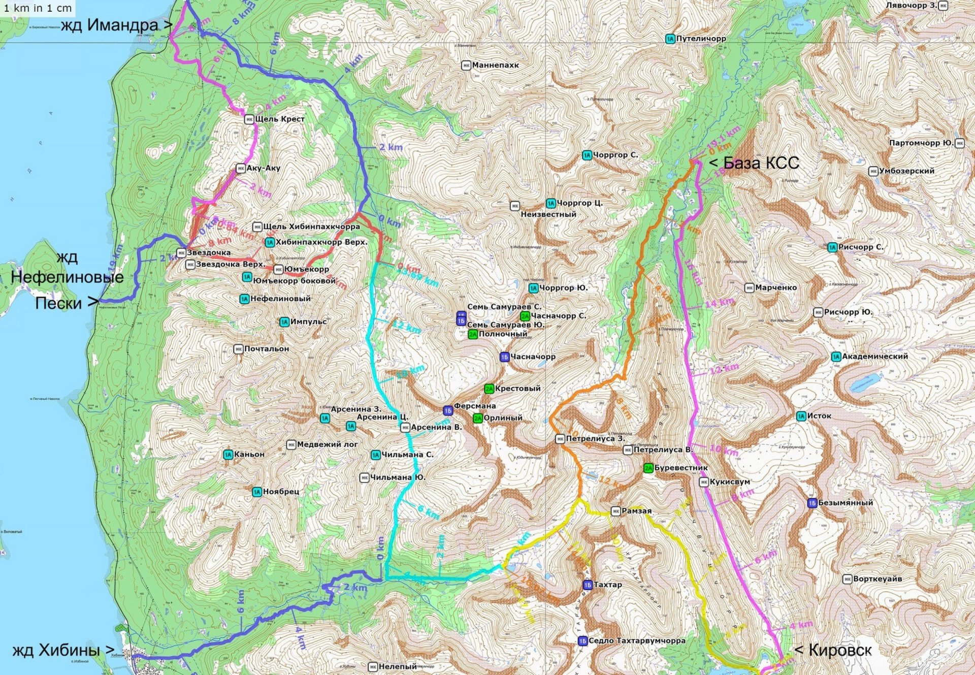
Khibiny route: 5 days, 71 km, with emergency bailout options.
I started on foot from the Tirvas Hotel, planning to cover 18 km to the Kuelporr base in the heart of the Khibiny Mountains. A dirt road leads from here; walking the first 3 km isn't pleasant as loaded dump trucks rumble past, but after that, I only saw a few vehicles. The road is straight, easy walking, and I clocked it in 4 hours 30 minutes with a 19 kg backpack. I had no energy left and hadn't stopped for lunch, so by evening, exhausted, I bypassed the EMERCOM rescue post and crossed the bridge straight to the camp spots marked on the map. I pitched camp near a guided group; the guys kindly offered me some rice with fish. After the long haul and starving, I gladly accepted their generous hospitality, had a hearty meal, and immediately passed out.
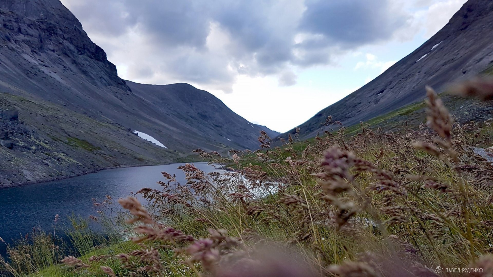
Road to the rescue station (KSS) in the Khibiny Mountains. Vudyavryok River, August 15.
Woke up in the morning to the clatter of a ladle banging against a pot. The worst way to wake hikers up in the woods))) The sun was shining, birds were singing, just a glorious day. After breakfast, I headed to the rescue post to check the weather forecast with EMERCOM. In the evening and the next day, the weather was set to deteriorate — rain, low clouds, strong winds in places. I decided to pick up the pace to cross Western Petrelius Pass before conditions worsened.
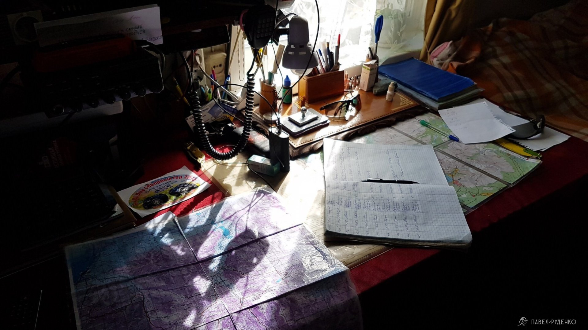
When I asked about bears, he mentioned that at that time there was one resident bear in the Khibiny with a den near the Krasivy Waterfall, but there are also transients, usually 2–4 individuals across the entire area. I asked: if they see my flare pen signal, will help come? The rescuer laughed and told me how many hikers fire it off at the end of a trek just for fun. Bad news, but what can you do?
Check out my Instagram for lots of photos of the North, and don't forget to follow!
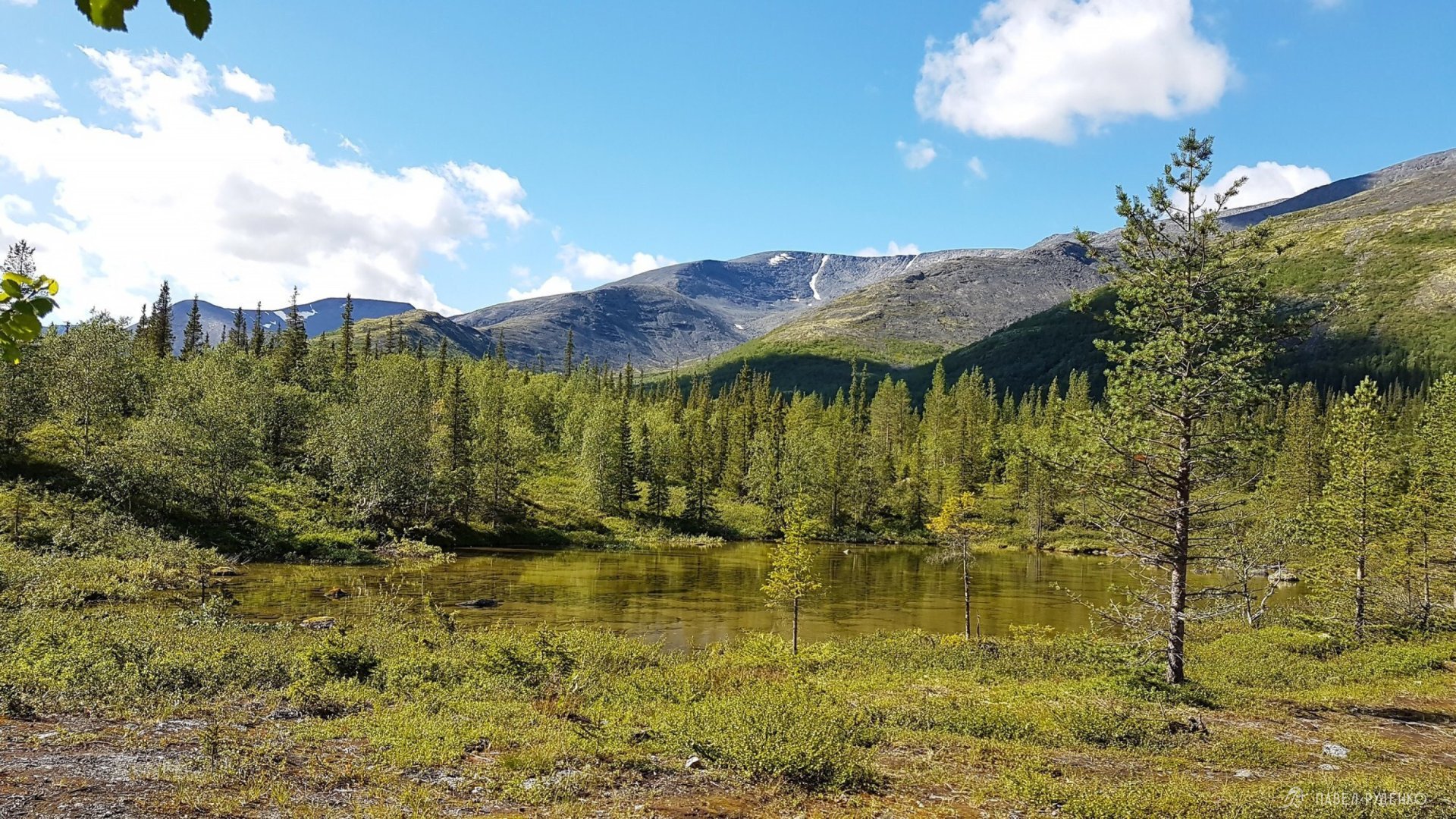
A trail leads to Western Petrelius Pass through a lovely forest, with plenty of water sources and scenic campsites. Tundra begins closer to the pass.
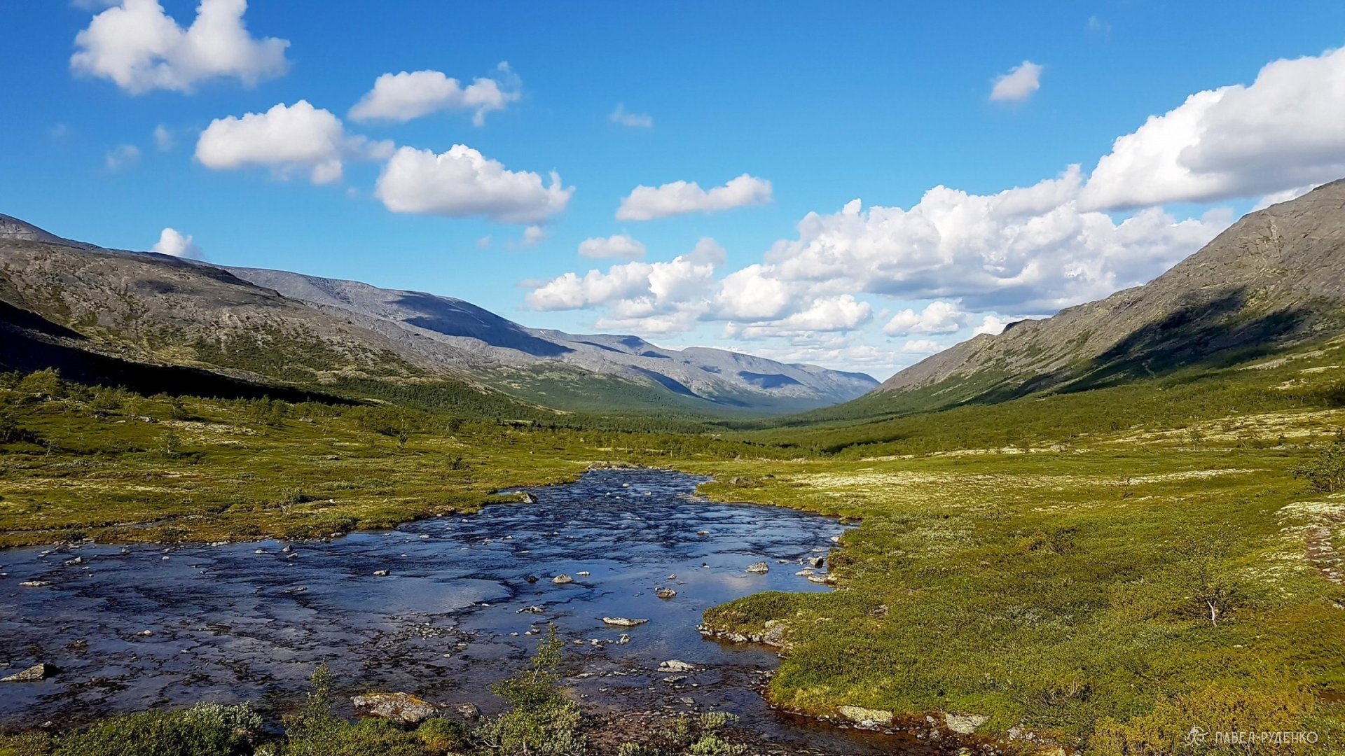
The pass has a steep ascent, scrambling over rocks with my hands at times; from the top, there's a fantastic view over the valley I just came from. There was snow at the summit. The descent was easier than the climb, and I quickly reached the trail. With the Malaya Belaya River on my left, I noticed the weather turning and picked a scenic spot to pitch camp.
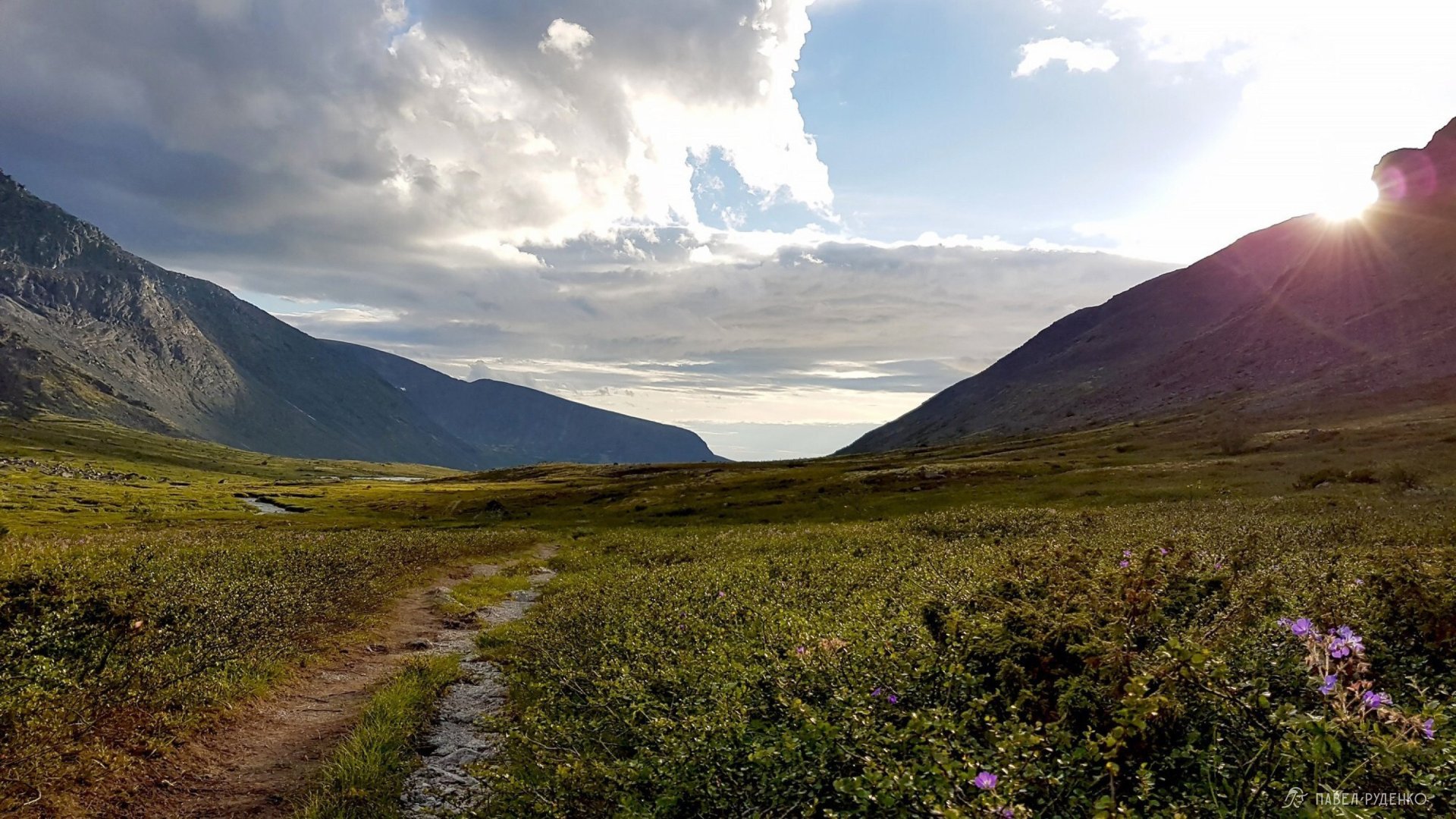
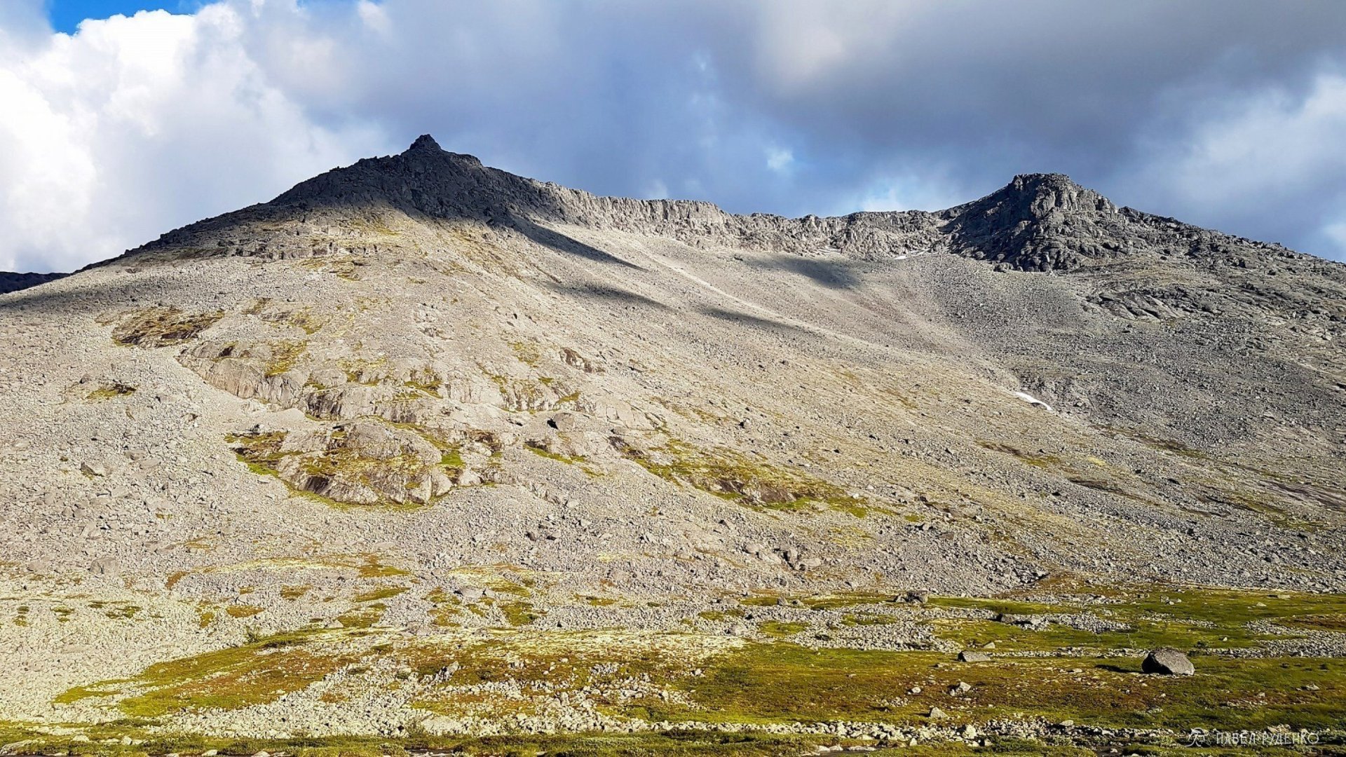
Malaya Belaya River, after Western Petrelius Pass (non-graded), Khibiny.
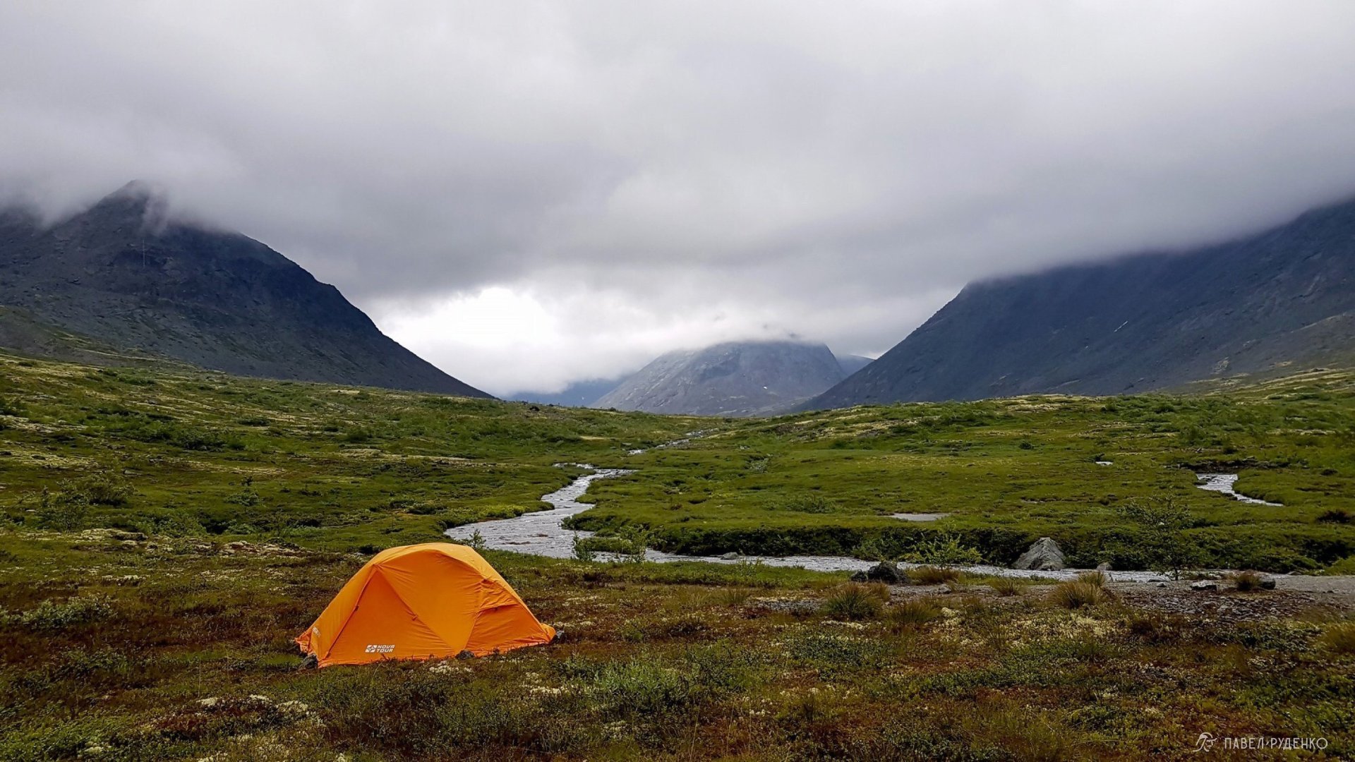
Malaya Belaya River, after Western Petrelius Pass (non-graded), Khibiny.
At the river fork heading right toward Eastern Arsentiev Pass, I forded the stream without taking off my boots, rock-hopping across so my boots didn't even get soaked. Ahead lay a snowfield and a long scramble up boulder fields (kurumnik) to the pass. The weather was foul, visibility down to barely 10 meters at times. I decided to navigate by cairns (stone trail markers), but they led me too far west. Re-checking my bearings on the GPS, I reached the summit waypoint and rested behind a boulder for just 5 minutes to catch my breath.
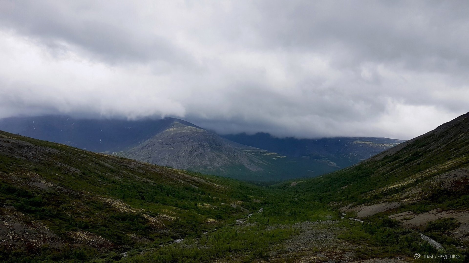
View south down the gorge from Western Arsenin Pass, Khibiny.
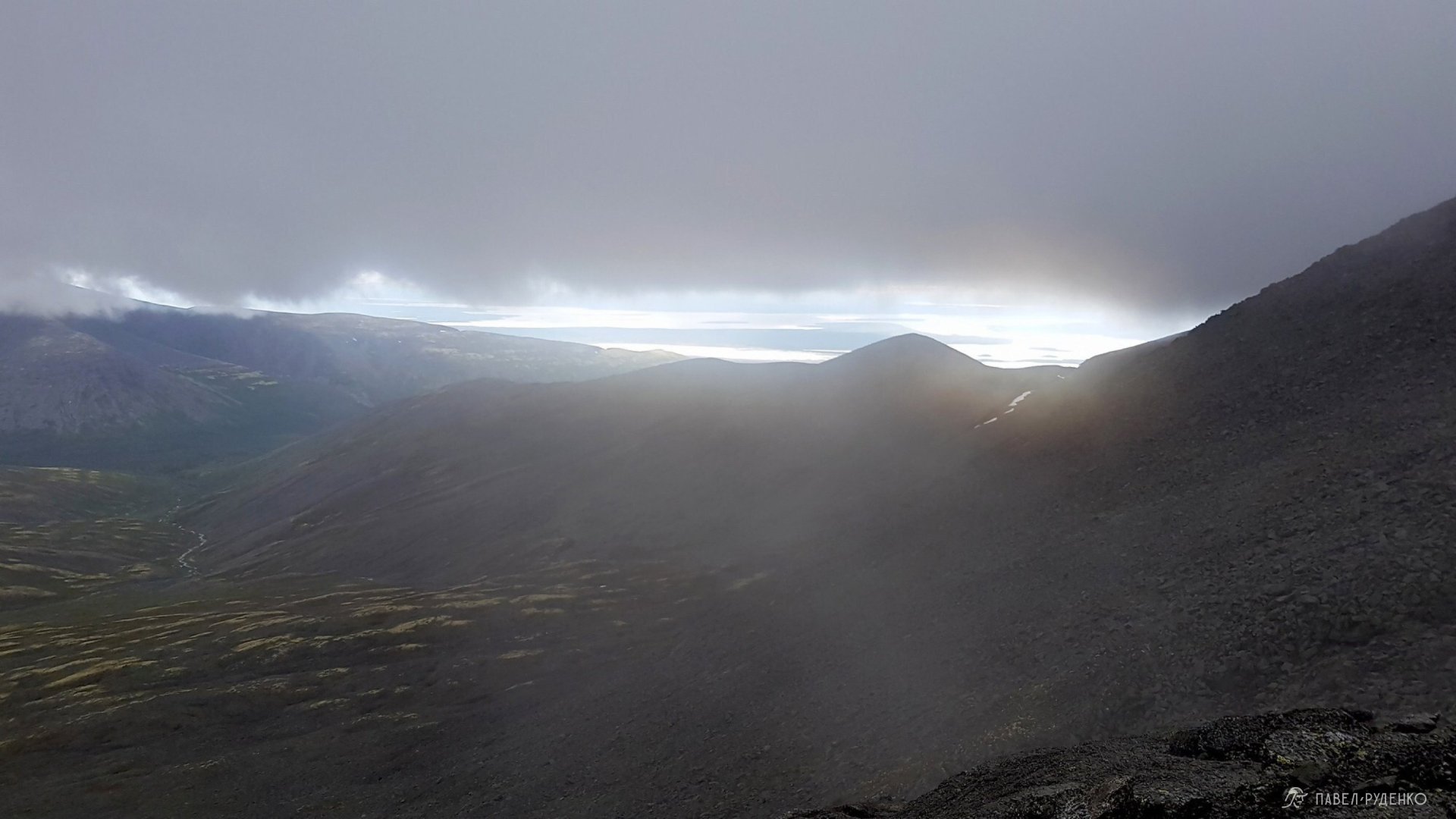
View south down the gorge from Western Arsenin Pass, Khibiny.
I started descending; the weather cleared up a bit, visibility improved, but then an incredible natural phenomenon occurred.
Suddenly, a powerful blast of wind surged from the neighboring gorge, driving rain upward along both flanks. I saw these two clouds coming and braced for the squall, taking a stable stance. In about 10 seconds, the cloud swept across several kilometers; the gust nearly knocked me off my feet, soaking me to the bone in a horizontal shower))) Stunned, I caught my breath and continued down the slick boulders as the rain settled into a steady drizzle. Slipped and fell a couple of times, but without injury. Trekking poles are an absolute must here.
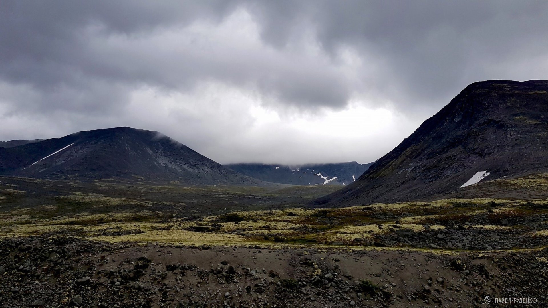
Near the Goltsovka River, Khibiny.
The next day was bright and sunny, birds were singing, butterflies fluttered about — oh, the stark northern contrasts!
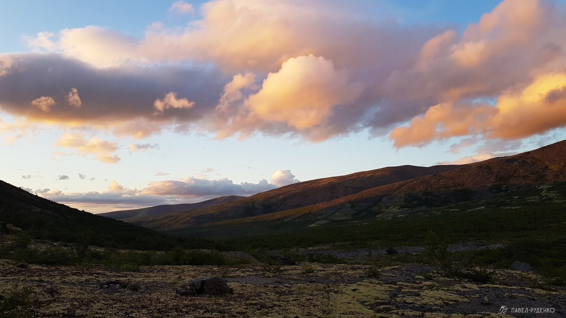
Near the Goltsovka River, Khibiny.
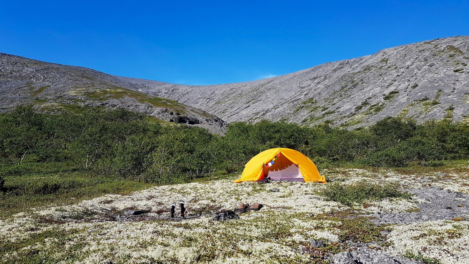
Near the Goltsovka River, Khibiny.
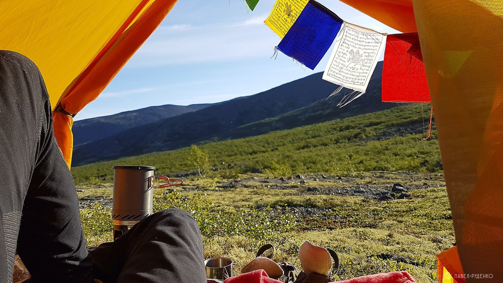
Reaching the Yumekorr Gorge, I was amazed by the narrow passage flanked by sheer cliffs; it is definitely worth a visit, a stunning place.
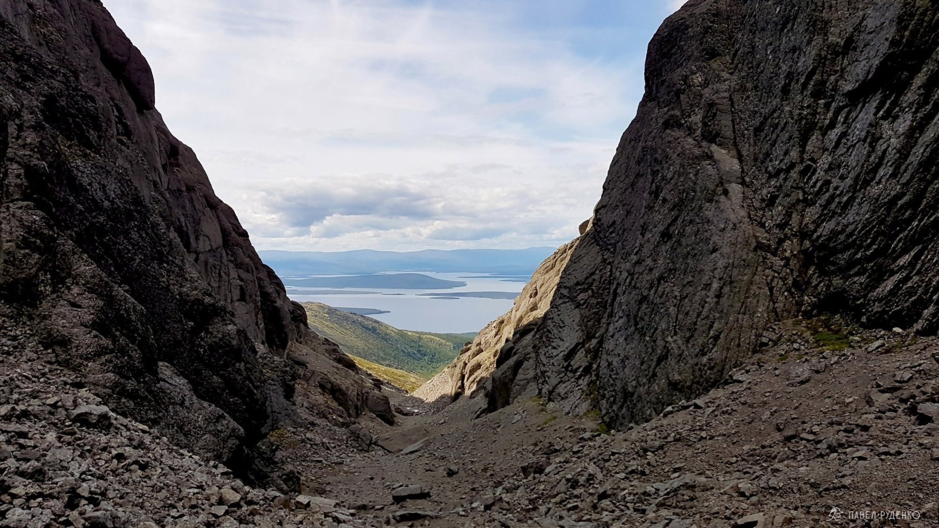
Yumekorr Gorge, view of Lake Imandra, Khibiny.
On the descent, I checked out the trail "library" and headed toward Aku-Aku Gorge.
Everything here is lush green; the gorge is about 20–30 meters wide with a stream running down the center, stunningly beautiful. Walking is a pleasure, almost like making your way through the Amazon jungle) In the heart of the gorge lies Lake Izumrudnoye with a campsite, but it was occupied by a youth hiking group. I chatted with the guys and had a cup of tea.
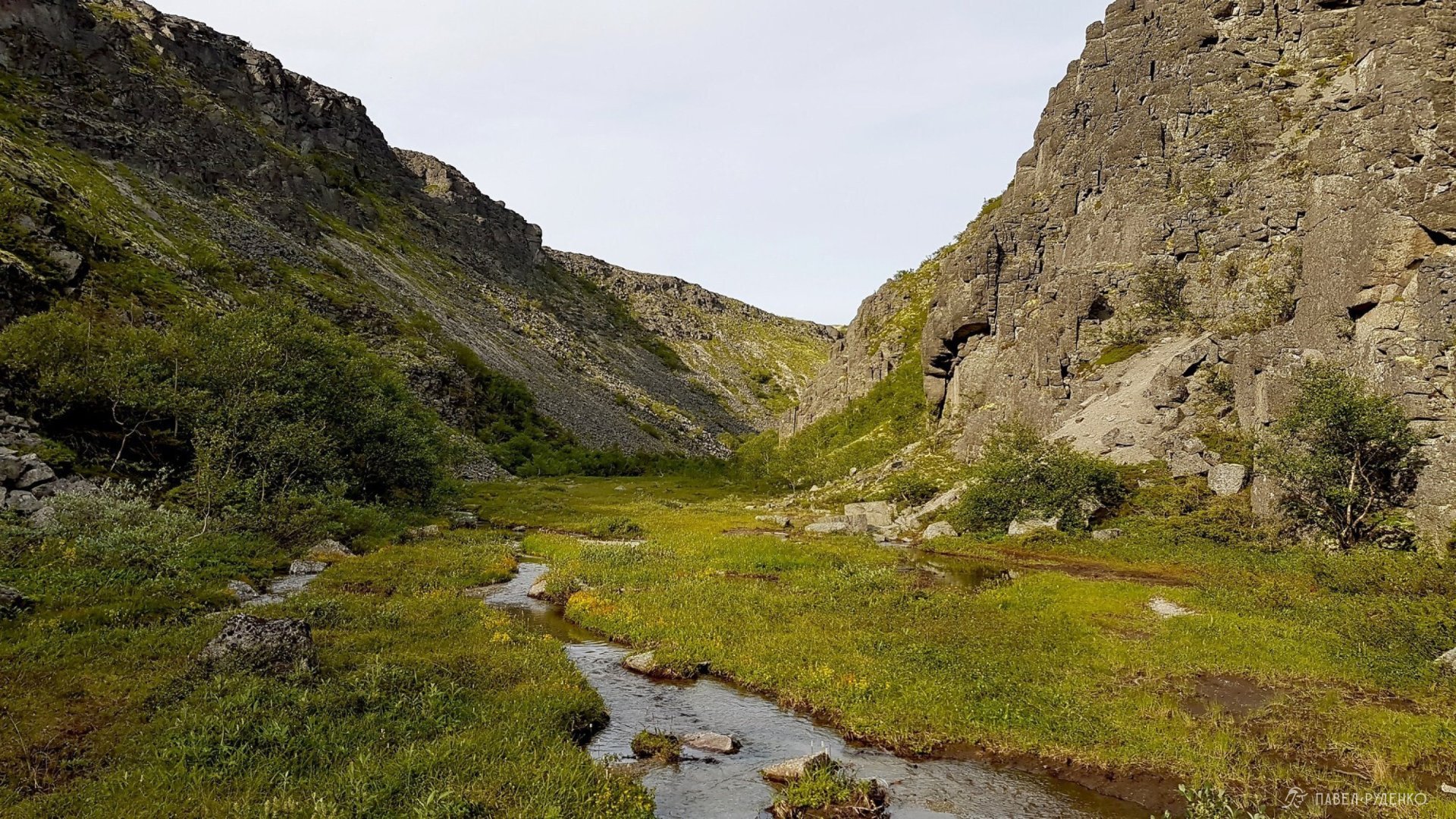
Aku-Aku Gorge, Khibiny.
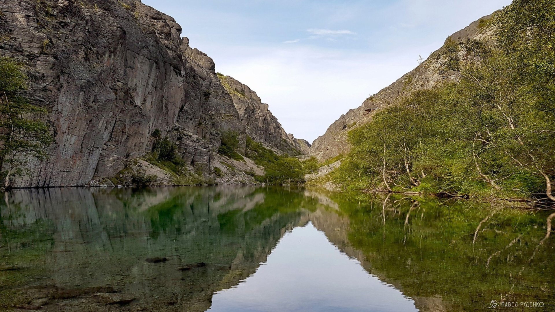
Aku-Aku Gorge, Lake Izumrudnoye, Khibiny.
I packed 3 liters of water for dinner and breakfast and decided to climb up the fell. After wandering around for 10 minutes, I found a relatively flat spot and pitched my tent with a magnificent view.
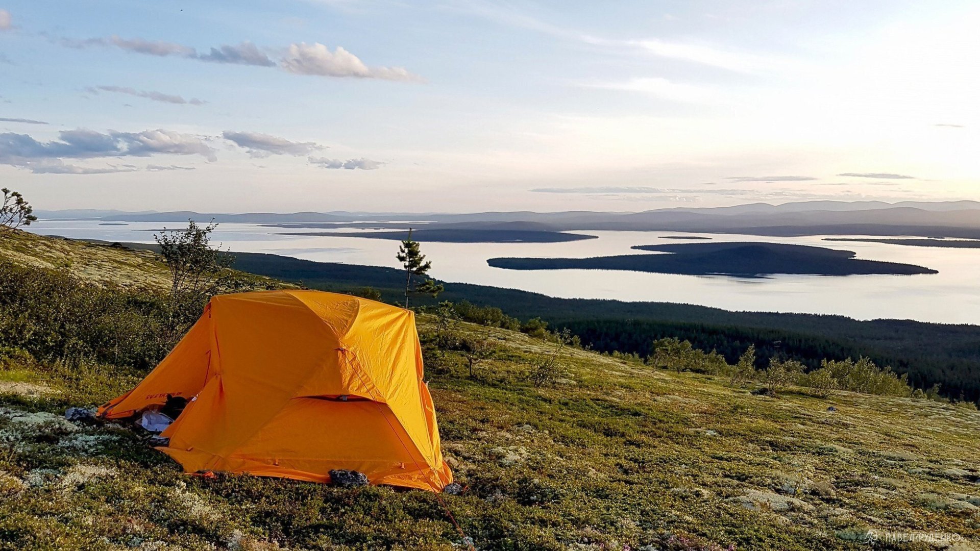
On a fell near Aku-Aku Gorge, view of Lake Imandra, Khibiny.
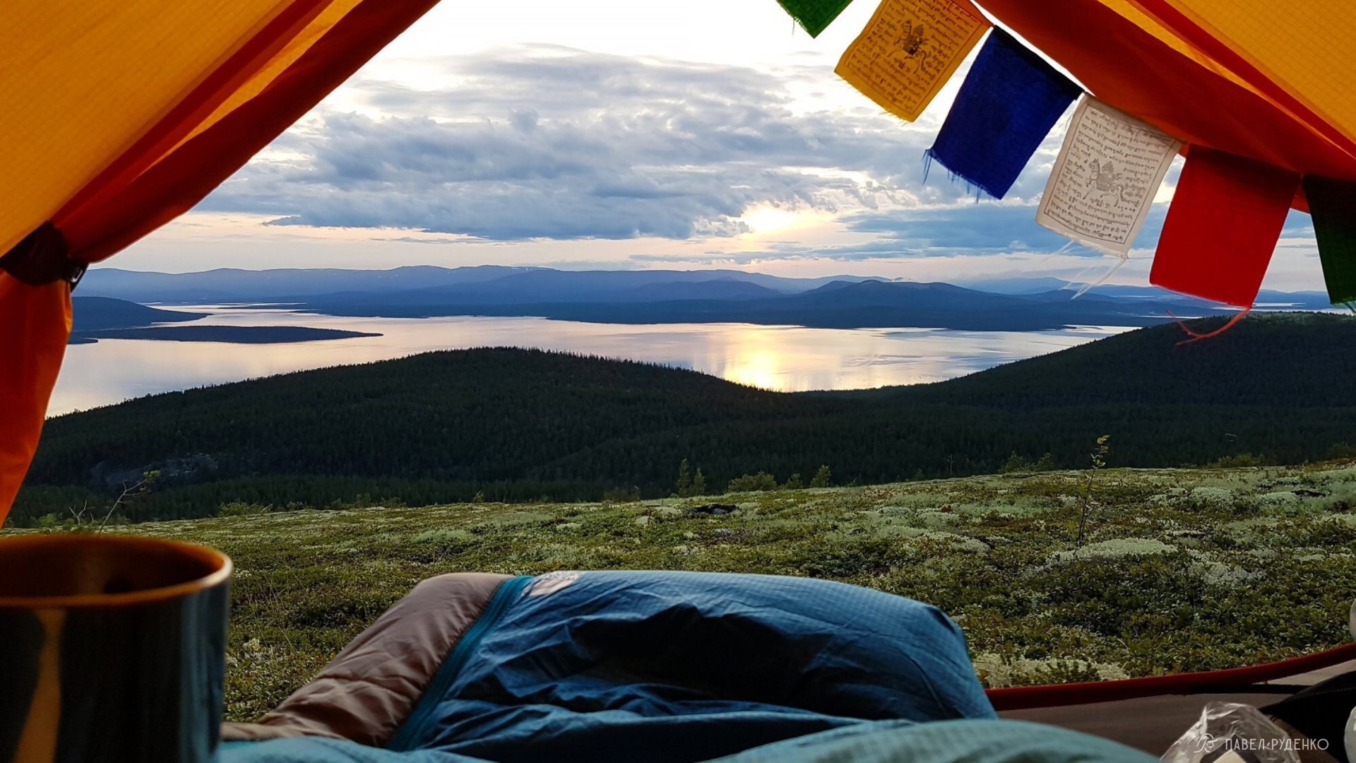
On a fell near Aku-Aku Gorge, view of Lake Imandra, Khibiny.
There was cell service here, so I checked the schedule and saw that the train to Kirovsk only runs twice a day — in the afternoon and late in the evening. I got up early and set off. Back then, I didn't know I should have checked the suburban trains: they run more frequently and are easier to board.
Descending through a dense forest along a trail toward the bridge, I realized that the bridge I was counting on wasn't there! It was further west along the river, but with no time left, I pulled off my boots in a minute and waded across a 20-meter-wide, thigh-deep river.
I practically ran the last kilometer and made it just in time for the train. Only one door opened in the last carriage, and they didn't even want to let me in—saying I had no ticket, and you couldn't buy one on board.
I had to fight my way on and negotiate with the train conductor. That's how I made it to Kirovsk))
Route preparation information:



Comments (0)