
Route Idea
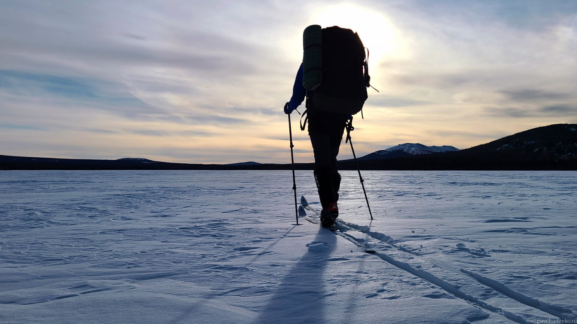
My plan for January was to go on a week-long solo trek. In my beloved North, the daylight hours are still too short at this time of year, so I looked into other regions with straightforward logistics and a relatively safe route. The Southern Urals met all my criteria, leaving only the specific destination to be chosen. I reached out to acquaintances and to Oleg Chegodaev, one of the main popularizers of the Urals, and came up with 3 options:
- Tyulyuk — Zigalga — Bakty — Iremel — Tyulyuk
- Taganay National Park
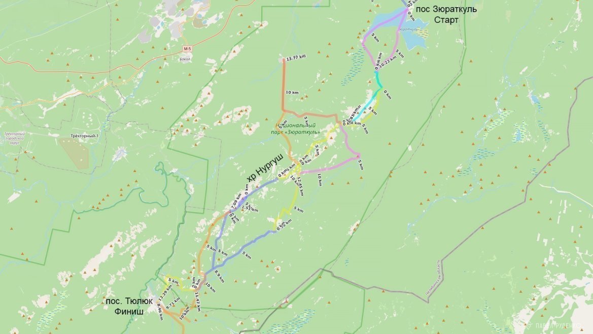
- Zyuratkul — Nurgush Ridge — Tyulyuk
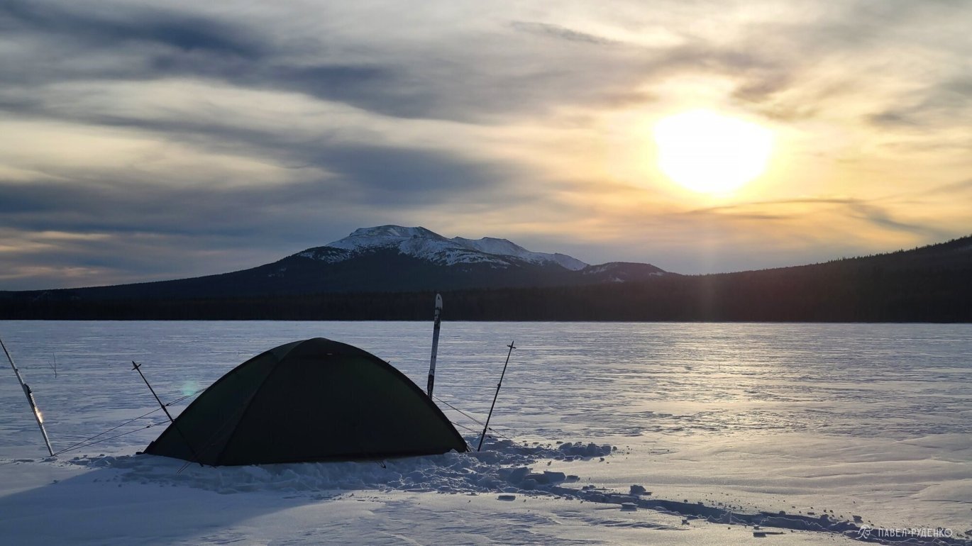
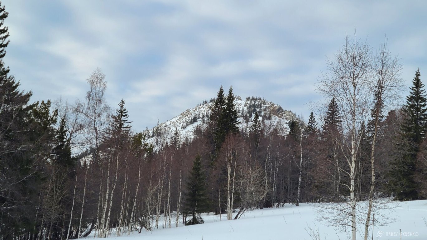
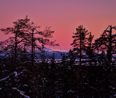
The route Zyuratkul — Nurgush Ridge — Tyulyuk appealed to me the most. It is not as crowded as Taganay, while still allowing you to hike along the ridge above the treeline—which means less trail-breaking in deep snow while enjoying spectacular views :)) So that was where I headed, though along the way the route had to be adjusted, and after the Nurgush Ridge I returned to Zyuratkul, as detailed below.

Route Planning
The route passes through Zyuratkul National Park, which poses no special restrictions for hikers. Admission is free, movement throughout the national park is unrestricted, and there are waymarks and signposts in some areas.
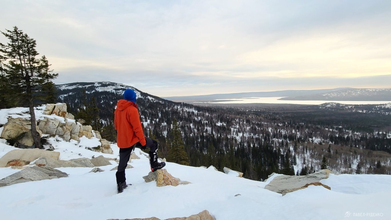
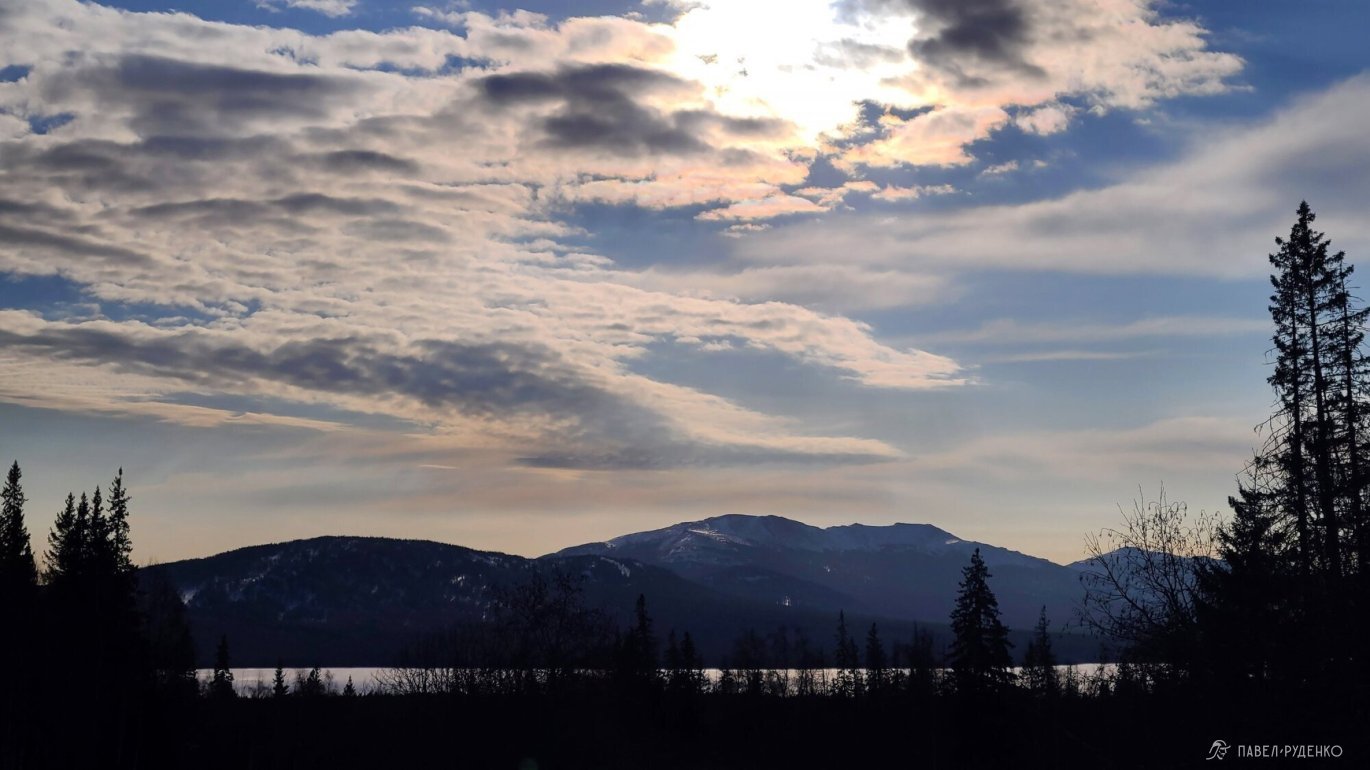
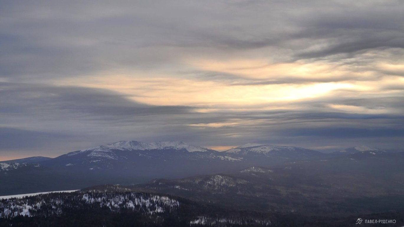
The highest point along the route is Bolshoy Nurgush at 1,406 m, which is also the highest peak in the Chelyabinsk Region. The forest zone usually ends at around 1,100 m, followed by blockfields (kurumnik) or ground that turns into wind-packed crust in winter.
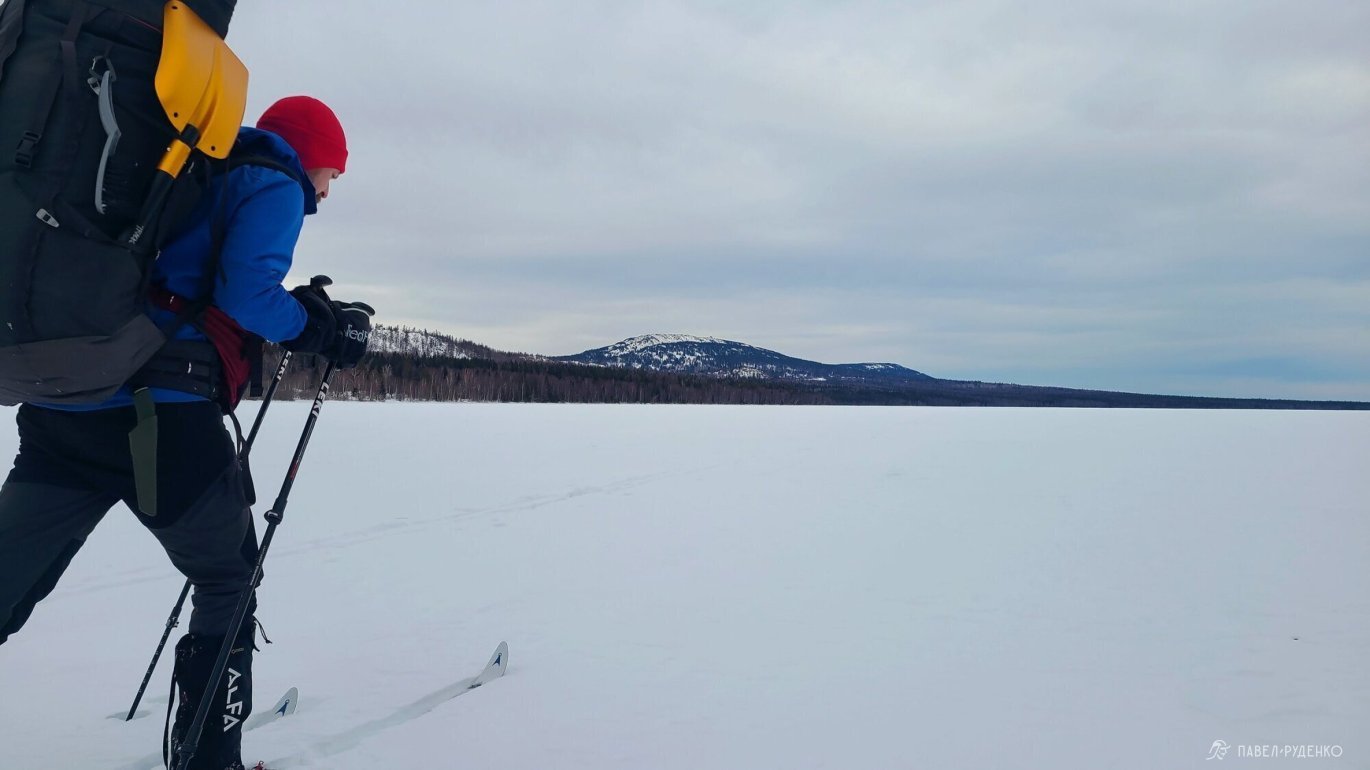
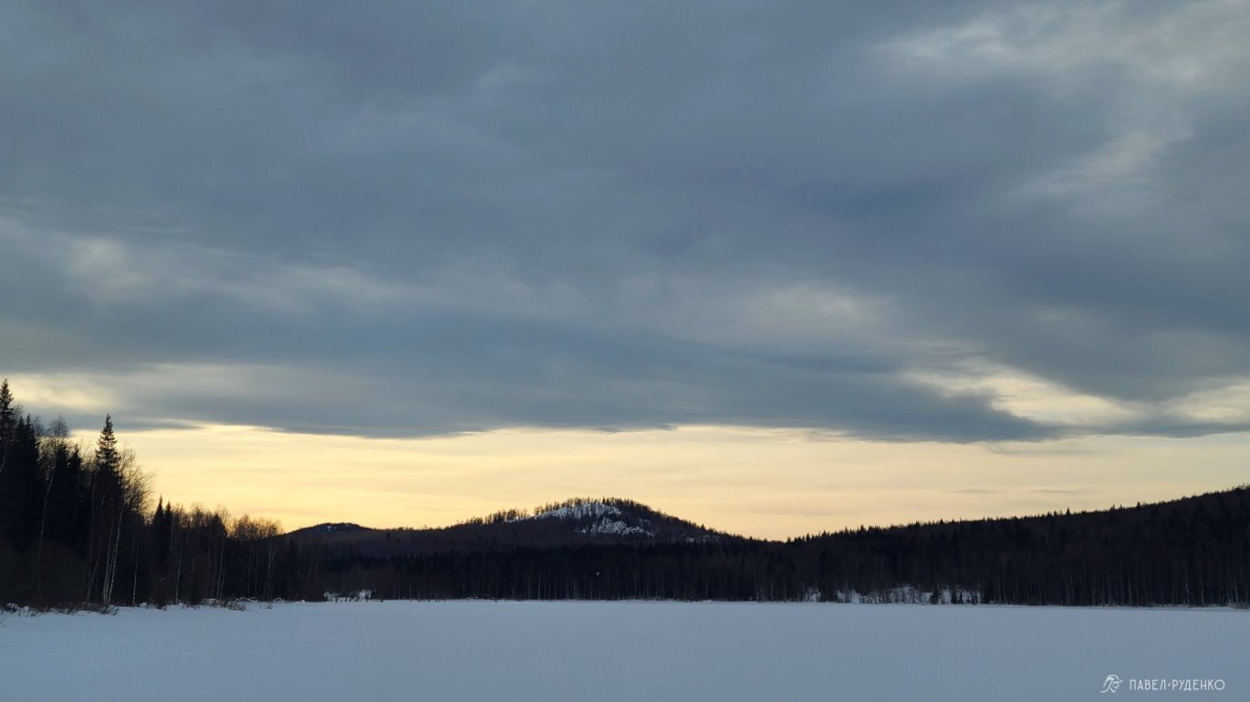
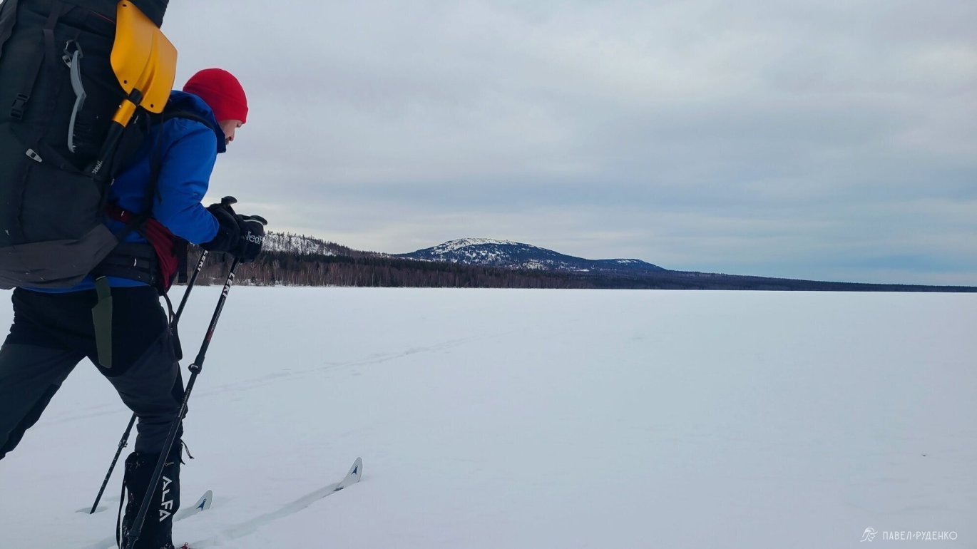
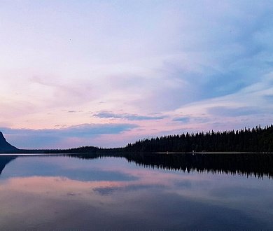
The trek starts from the village of Zyuratkul at an altitude of 724 m, right by Lake Zyuratkul, the highest-altitude major lake in the Urals. Its maximum depth is 12 m, its shoreline stretches 29 km, and it supplies water to the town of Satka. The ice is solid; the national park provides the following data:
“Zyuratkul belongs to the type of lakes with stable ice cover lasting 6–7 months. Freeze-up is observed on average around October 24. The beginning of ice breakup, marked by shore leads, occurs in the first half of April. The average duration of ice cover on the lake is 202 days, with an ice-free period of 160 days. The maximum recorded ice thickness is 133 cm.”
Local fishermen confirmed the same information. Naturally, one should still exercise caution near river mouths.

Weather
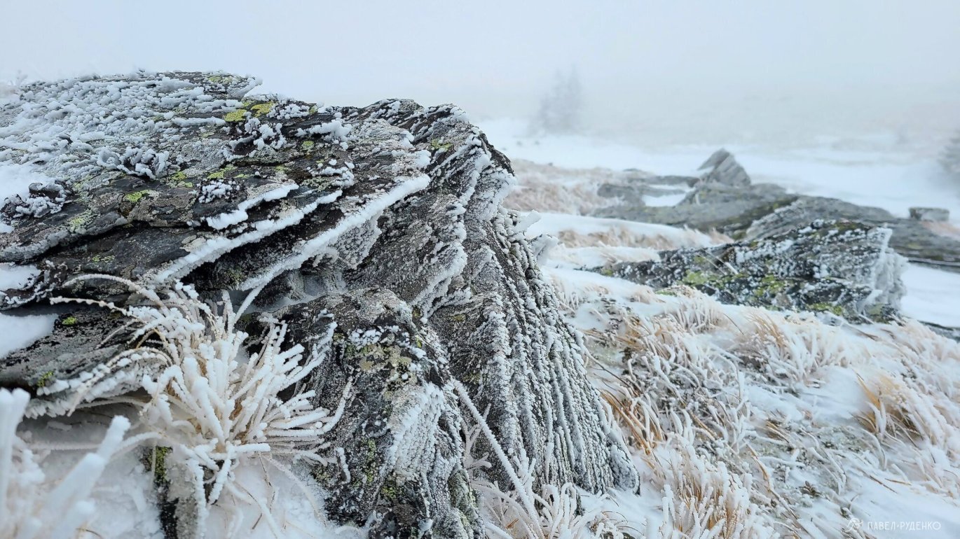
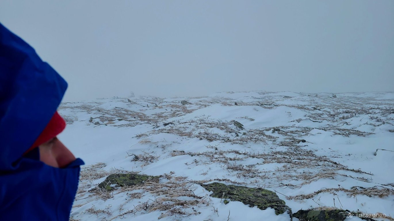
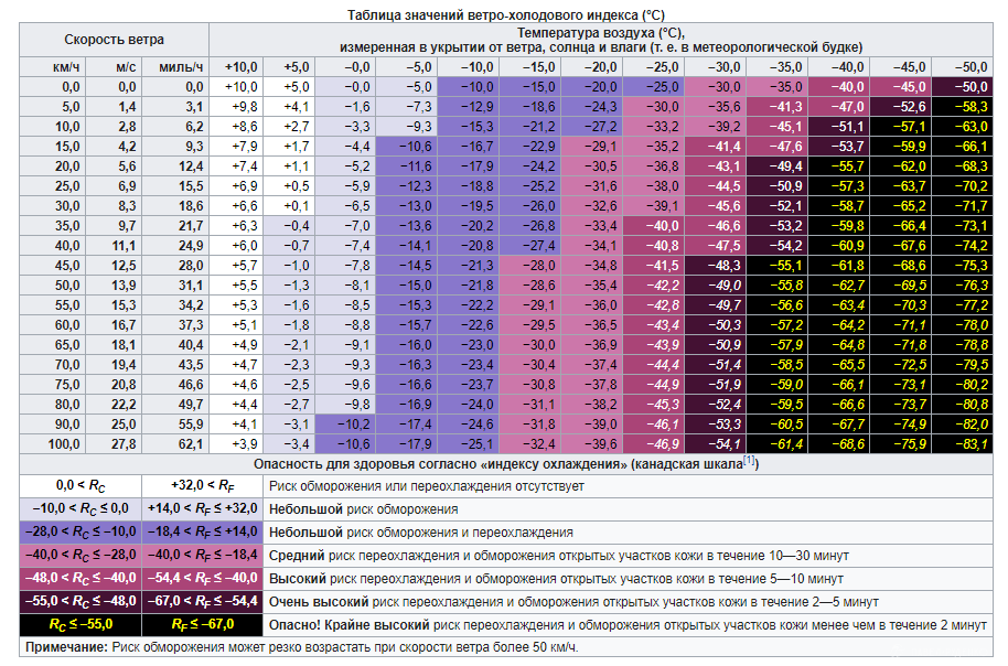
The Urals are famous for strong winds, and this must be factored in during preparation. Prior to my trek dates in mid-January, windy weather persisted at 16–20 m/s—and anything above 20 m/s is considered a gale/storm. Daytime temperatures stood at −15 °C with a wind chill of −30 °C, lasting for 10 straight days.
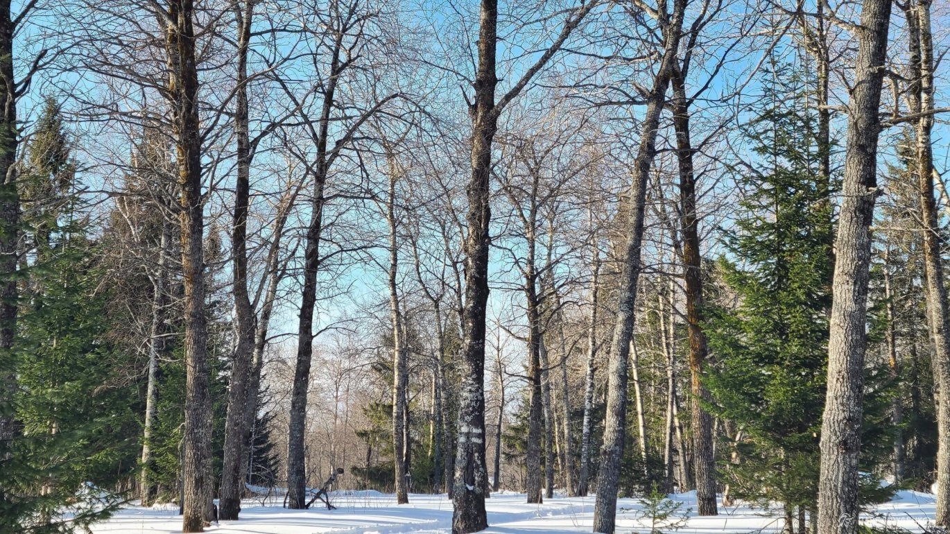
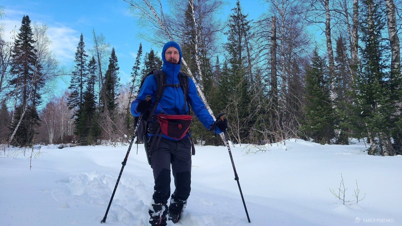
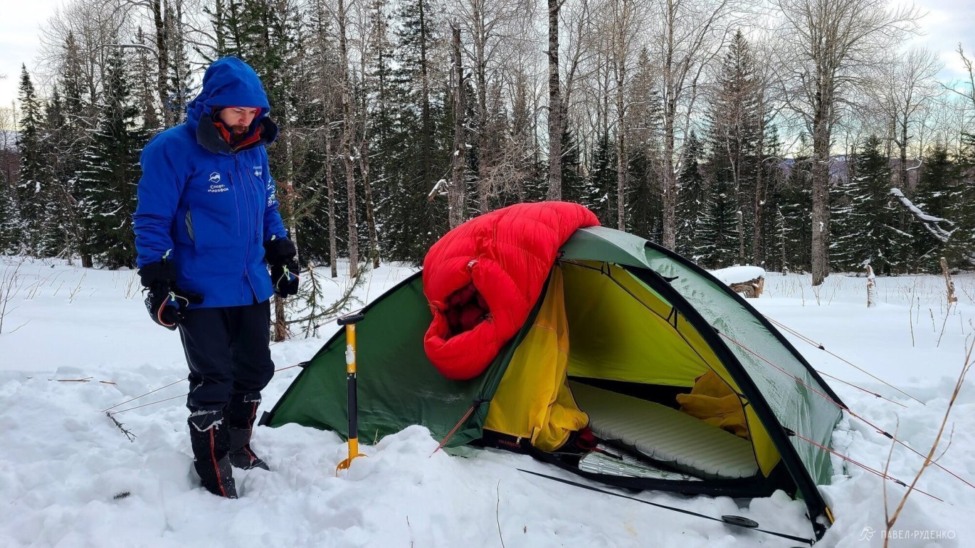
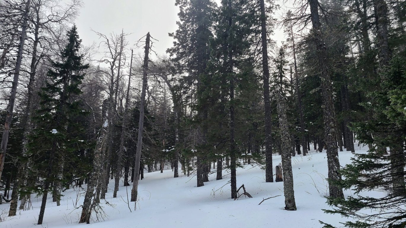
Naturally, the full severity of the wind hits you right on the summit, while the forest zone is noticeably more sheltered and comfortable. Therefore, setting up camp is best done below the treeline.
On Gismeteo there is a weather diary for the village of Tyulyuk at 550 m. Reviewing January statistics since 2015 shows:
- Daytime temperatures range from 0 °C to −18 °C, averaging around −10 °C.
- Nighttime temperatures range from −3 °C to −25 °C, averaging around −15 °C. Usually overcast.
- On the summits, it is on average 5–10 degrees colder, plus the wind chill factor.
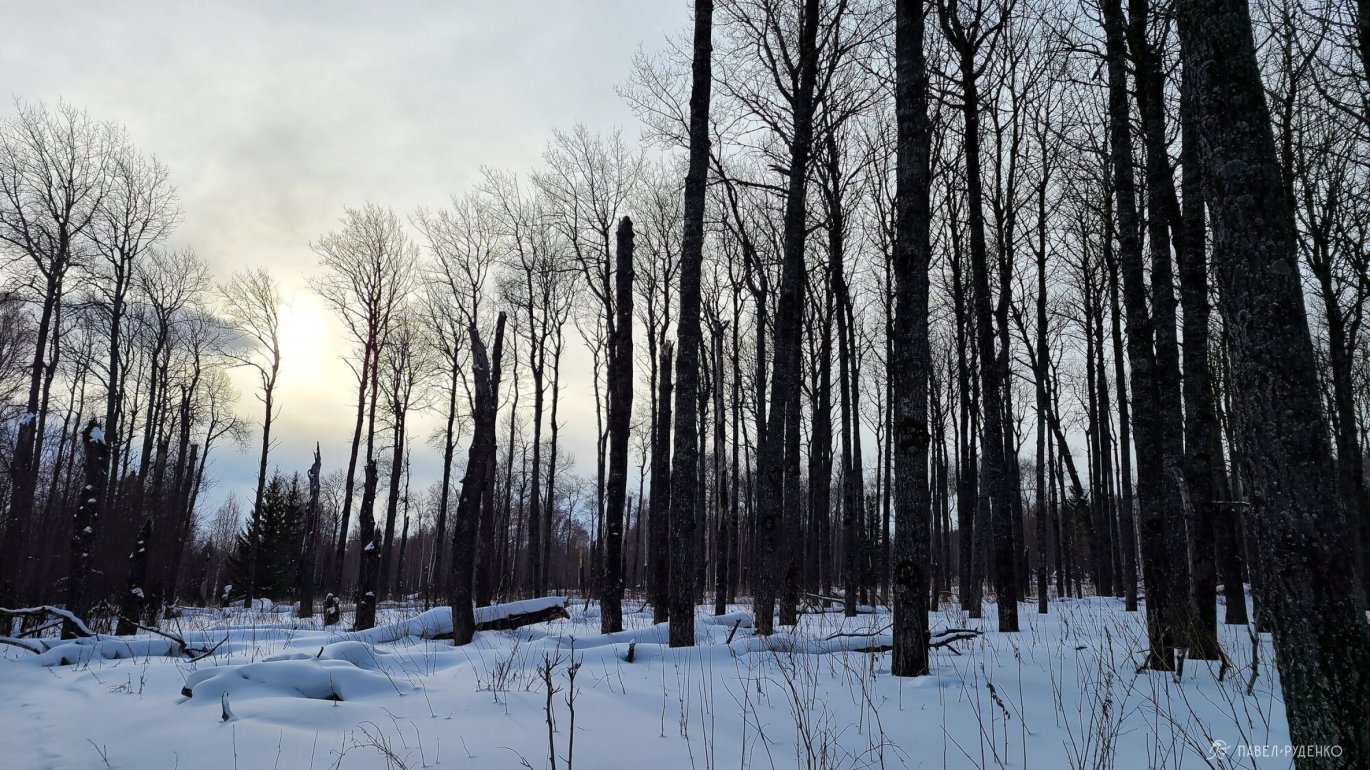
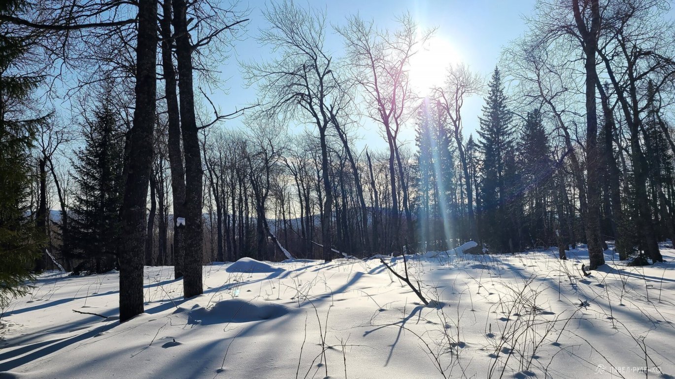
There is plenty of snow here; trail-breaking in the forest zone required plowing through 30–40 cm of powder. Yet on the summit, grass was visible in spots—the wind here blows frequently and with such force that it scours the ground bare. Along the trail markers on OpenStreetMap, there were snowmobile tracks. Some were dusted over, others barely discernible with 0–20 cm of soft snow to break, but where present, they made travel much easier.
The Zyuratkul National Park website provides the following data regarding snow cover:
“A stable snowpack typically forms in the last ten days of October. Snow accumulation is very uneven. The snow depth can reach a significant 75–80 cm. The average date of complete snowmelt is April 20, with the earliest on March 21 and the latest on May 3. Heavy snowfalls are possible in May and even June.”

Transportation
My trek starts from the village of Zyuratkul, located between Ufa and Chelyabinsk. Therefore, you can travel from either city, depending on airfare and logistics.
From Ufa to Satka, you can take a train with a transfer, and then catch a taxi to the village of Zyuratkul.
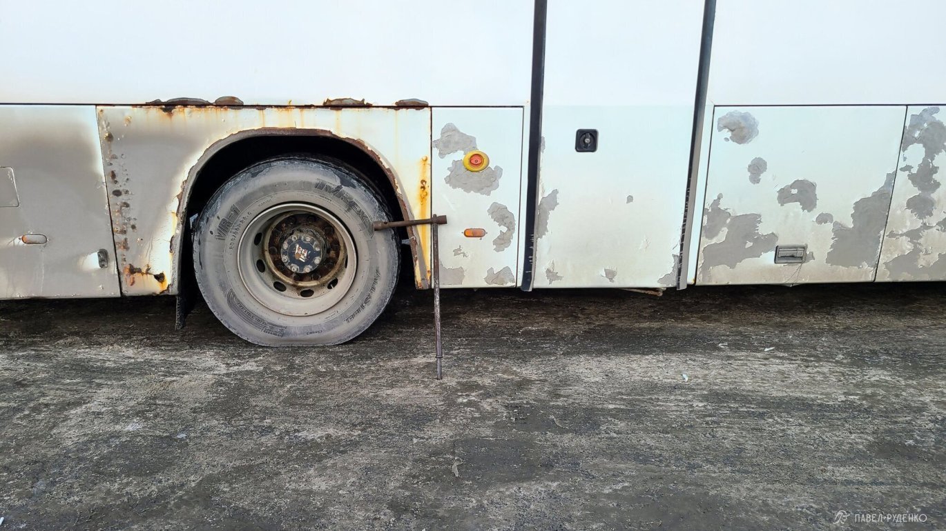
Traveling via Chelyabinsk seemed simpler to me. From Chelyabinsk Central Bus Station (“Yunost”), bus No. 517 runs to the town of Satka, which is the nearest town to Zyuratkul. Travel time is around 4 hours, and the ticket price was 500 RUB + 300 RUB for luggage in 2021. Both ways I got a full-size coach with a luggage compartment, but it can also be a minibus—the type of vehicle depends on ticket sales, as the carrier adjusts on demand. During peak hours in the morning and evening, a large bus is more likely; you can confirm in advance by calling them. Other bus routes also travel in that direction.
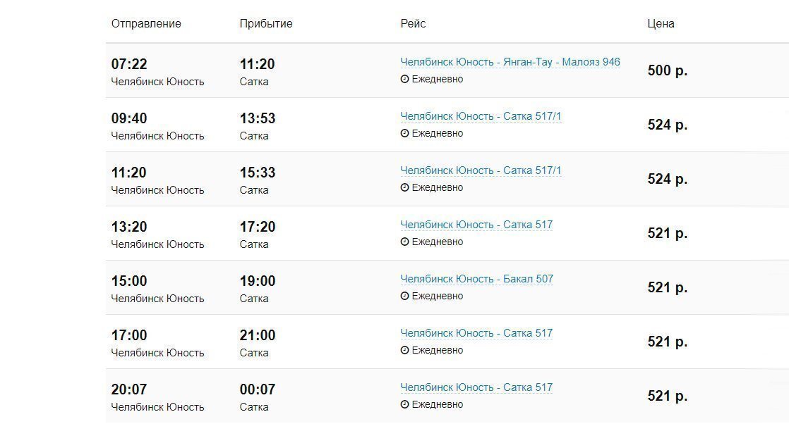
From the town of Satka to the village of Zyuratkul, I took a taxi; a reasonable fare was 1,100 RUB in 2021. I hired the taxi right at the bus station in Satka.
The distance between Chelyabinsk and Satka is 190 km. The bus trip takes 4 hours.
The distance between Satka and the village of Zyuratkul is 32 km. Half of the road is cleared by a grader, so a regular passenger car can drive through easily. The taxi ride takes about 50 minutes.

Registration with EMERCOM
The registration form is convenient: enter your personal details, route itinerary, and emergency contacts.
You must notify the EMERCOM (Russian Emergency Situations Ministry) by phone before starting your trek and upon completion. The EMERCOM duty officer or operator calls every day; on the registration form, I always list a designated emergency contact who tracks me via satellite messenger to ensure safety monitoring even where cellular reception is unavailable.
- EMERCOM in Chelyabinsk, general phone: +7 (351) 239-99-99
- EMERCOM on-route duty operator: +7 (351) 239-70-95
Route registration link with EMERCOM: https://forms.mchs.gov.ru/registration_tourist_groups
Connectivity
I finally switched from Beeline to MegaFon; while the monthly plan costs more, the coverage is significantly better. MegaFon had 4G reception in the village of Zyuratkul and out on the lake; reception was lost in the forest and returned on the summit of the Nurgush Ridge. I have provided links below so you can verify your operator's coverage.
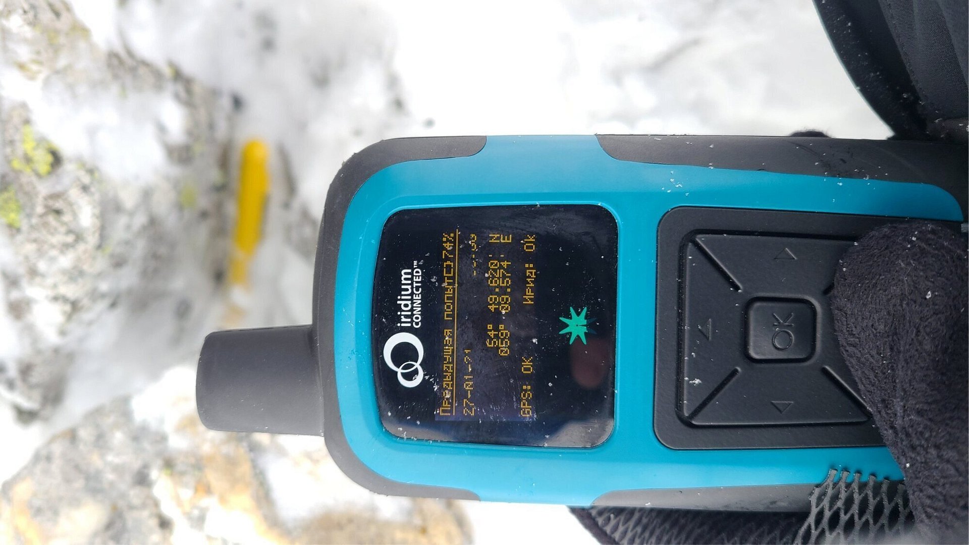
I also used an Iridium RockStar 360 satellite tracker with a 300-point plan for 2,950 RUB. It allowed me to stay in touch daily, receive weather forecasts, and transmit my coordinates every 30 minutes.
Hazards
Weather conditions, cold, frostbite. Winter temperatures are far less predictable than in summer; depending on humidity and wind speed, perceived cold can vary significantly. I pack clothing and gear with a generous safety margin, meaning the sleeping pad, sleeping bag, and tent are fully rated for potential temperatures and winds. A well-thought-out mitten and glove system is crucial, always carrying several warm spares. A warm jacket, insulated full-zip pants, and camp overboots. A few spare clothes in case of breaking through into water. The gear list is at the end of the article. Knowing where you are and where to go in zero visibility, using a GPS unit or a map and compass. I carefully plan the route with multiple emergency bailout options, mostly using maps.me on the go, switching to a Garmin eTrex 20x and paper maps if the phone fails or a cross-check is needed.
Breakdowns. Gear fails much more frequently in severe cold; in my experience, this starts happening at temperatures below –25°C. Carrying a repair kit and repair tools is essential.
Terrain. In the Urals, the primary challenge is boulder fields (kurumnik). Navigating these massive snow-dusted boulders requires taking off your skis, making it easy to slip between rocks, get stuck, or injure a leg. I tried to plan the route to bypass boulder fields as much as possible.
Snow conditions. Depending on weather conditions, winter travel speeds can vary drastically. Following a fresh snowmobile track, covering 20 km a day is quite comfortable. Breaking trail through deep snow solo or in small groups, you might struggle to make even 5 km. This factor is always unpredictable and demands careful route planning and emergency bailout options.
Wolves. There are wolf packs in Zyuratkul National Park. Hunting is naturally prohibited, so you may come across their tracks. EMERCOM rescuers and locals confirmed there have been no attacks, but I would still recommend carrying a hand flare or flare pen sound cartridges just in case.
Avalanches. Avalanche risk in the Southern Urals is minimal. The terrain is predominantly forested, while treeless zones and summits feature extensive boulder fields that anchor snow masses, along with frequent winds that turn snow into hard wind crust. All these factors reduce avalanche hazards, and I saw no hazardous sections along my route. Of course, this does not make the terrain completely safe—even a small avalanche can bury you completely, so you must always assess the situation.
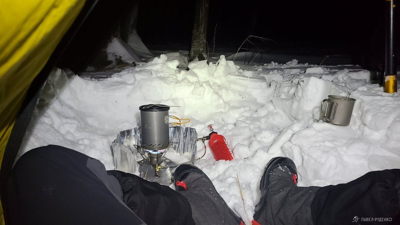


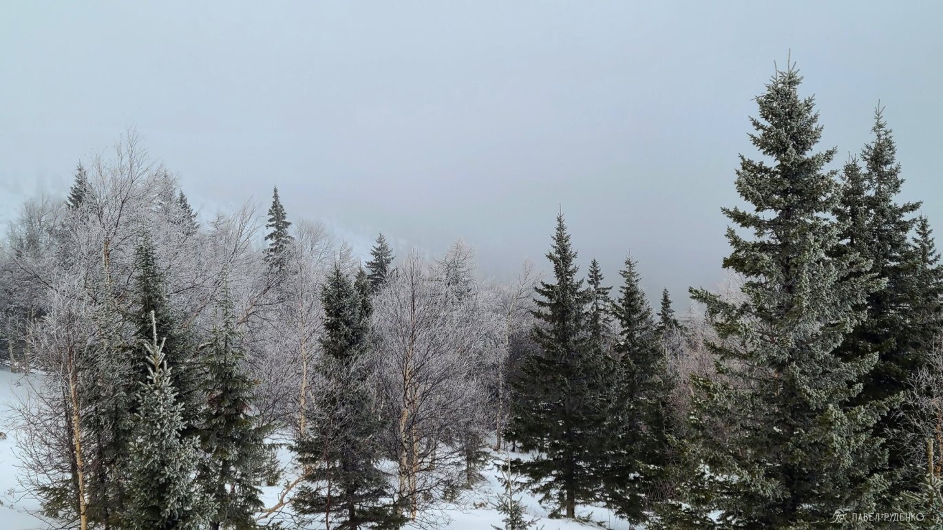
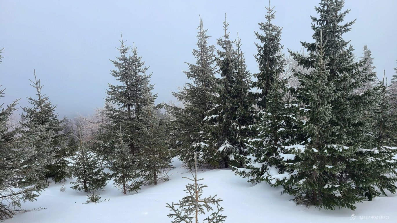
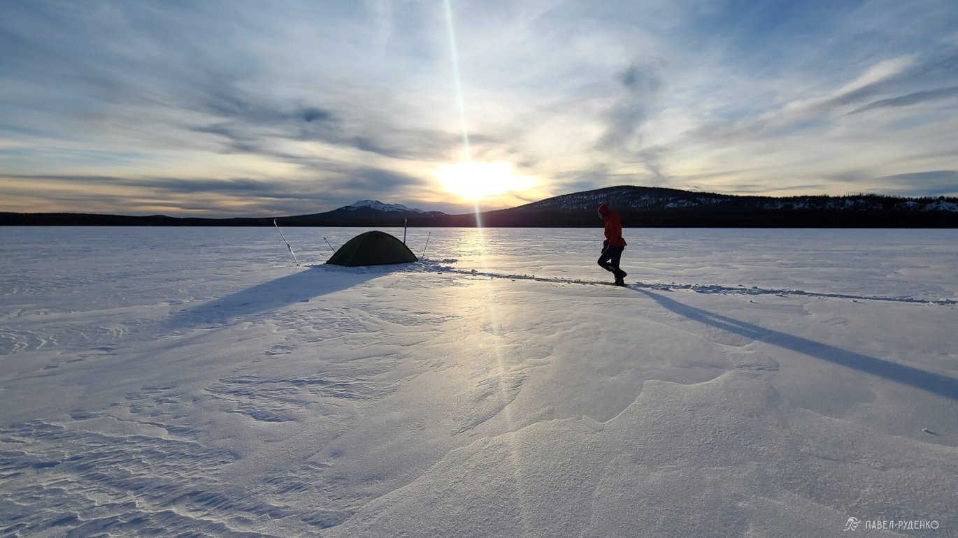


Thoughts on gear and food after the trek
Keep in mind that this was a 6-day solo trek in January. Under different circumstances, conditions and choices may vary.
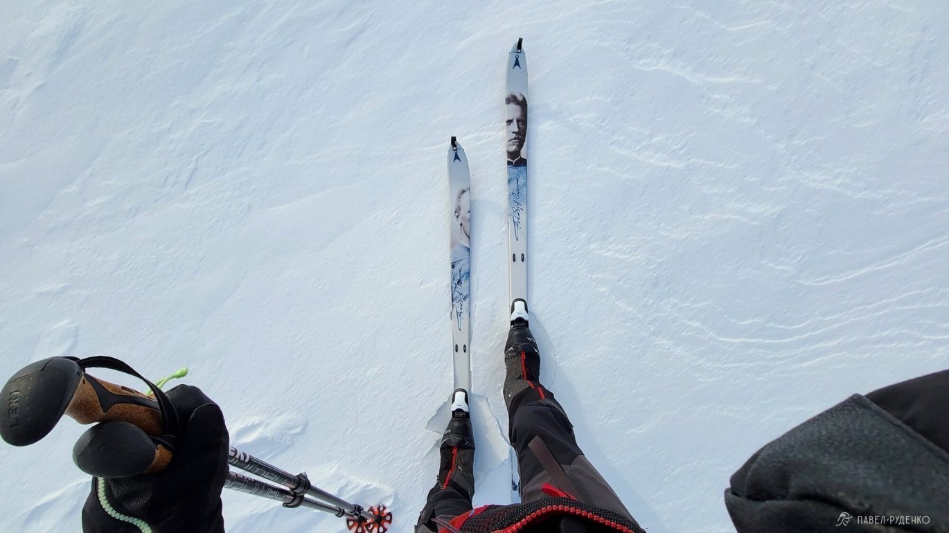
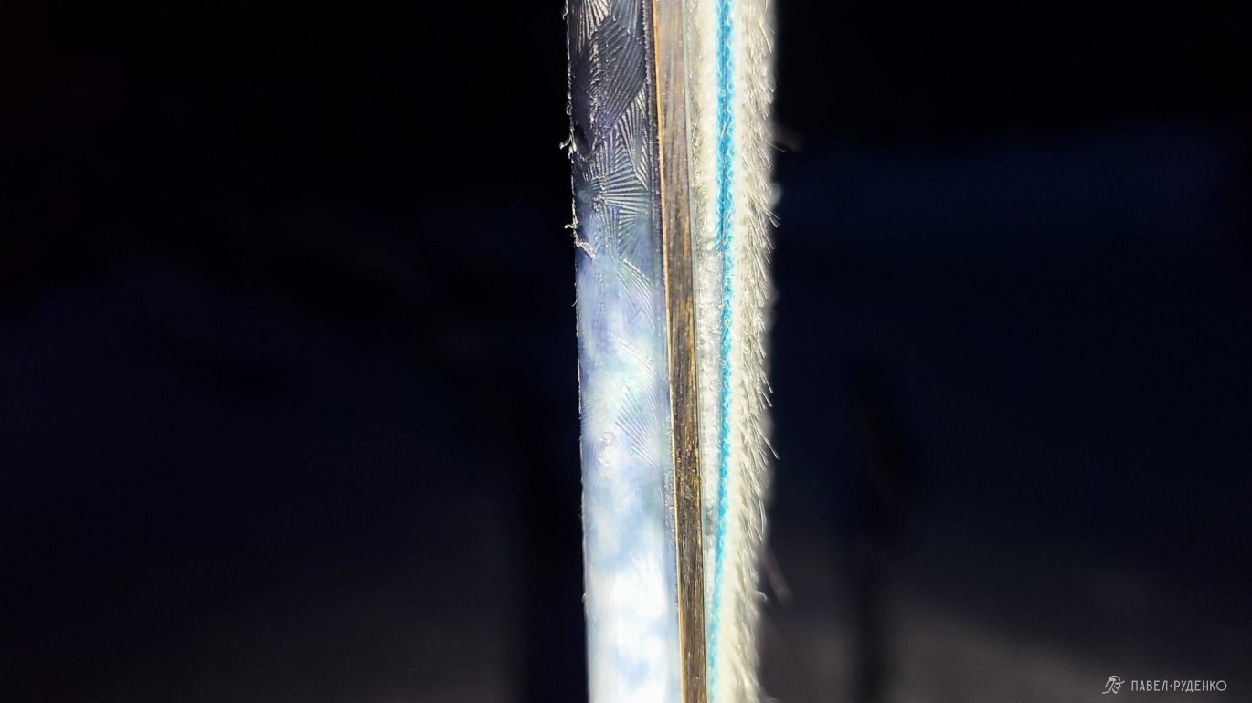
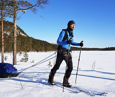
Climbing skins. I brought two pairs of skins—short nylon and full-length mohair—to test them out and compare their performance. The full-length skins worked so exceptionally well, holding firmly on steep climbs and even on wind-packed crust while still providing great glide, that there was simply no need for the short ones. For now, here are my takeaways:
- Short skins are great on easy terrain dominated by flat sections. They let you move forward quite fast without slipping and falling at every mistake.
- Full-length skins are ideal for moderate to challenging terrain. They offer uncompromised grip, save a tremendous amount of energy, and keep you from floundering in deep snow.
Important note: skin material significantly impacts your pace.
- 100% nylon: Cons—drastically slows your pace and requires a lot more effort. Pros—durable, performs better in temperatures hovering around 0 °C.
- Mohair and mixed blends (70/30 mohair/nylon): Roughly 30% less durable than pure nylon, prone to slightly more icing around 0 °C, but very fast, smooth-gliding, and energy-efficient. My personal choice.
You also have to factor in what the rest of the team is using. If everyone is on short mohair skins while you're grinding on full nylon, you will be utterly wiped out on flat stretches; meanwhile, you'll climb faster and more securely on ascents, only to freeze while waiting for the others. On another group expedition, everyone crossed a lake on fish-scale base skis while one member had short nylon skins—he suffered quite a brutal wake-up call due to the massive difference in energy expenditure. Conclusion: it's best when the entire team is on matching setups.
Lunch. I packed two sandwiches a day: salo (cured pork fat) and cheese for lunch, and sausage and cheese for dinner. Dinner sandwiches are better left behind due to the excessive weight. Lunch sandwiches go down great down to –15 °C. If it gets any colder, take a food thermos and prep a proper hot meal in the morning.
Maggi cubes. Don't bring Maggi seasonings; they leave the pot way too greasy and annoying to clean in the cold)) Better to repack butter into a small plastic container.
Snow stakes. Always use carabiners with snow stakes. I experimented with going ultralight by just tying accessory cord directly to the stakes and clipping them to the guy lines—it proved totally impractical. Under tension, the cord twists and tangles, turning into a nightmare to untangle in the freezing cold.
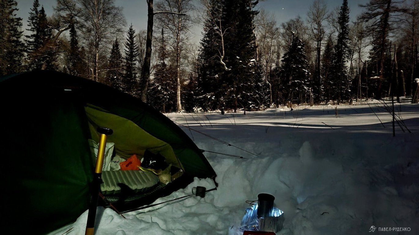
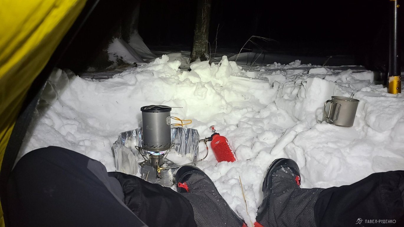
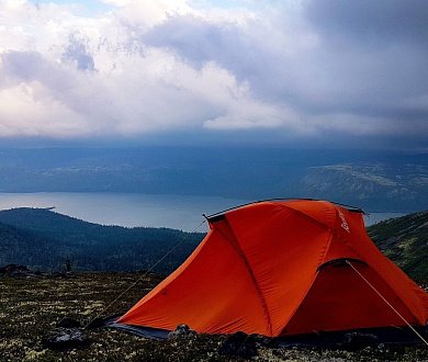
A tent with an extended vestibule in winter is pure comfort. This is especially true for solo trips, where you spend downtime inside the tent anyway while cooking. On group treks it becomes less critical, as you usually dig out a designated kitchen area outside. That said, a large vestibule remains invaluable for team expeditions across the tundra and exposed arctic terrain.
Remove the bungee cord from the lid of the Klättermusen Tor 100L pack. I never use it, and it catches on branches when skiing through trees at speed.
Sivera Snow thermal pants are only comfortable on the move when it drops below –15 °C. In milder weather, lightweight thermal base layers paired with stretchy, ventilated softshell pants work much better.
A softshell touring jacket is an absolute game changer! I never took it off; used it on every trip—an ideal choice. Super breathable and cuts the wind effectively.
Always tape your heels to prevent blisters on ski tours. I tried experimenting without tape since my boots fit like a glove and caused zero issues on two single-day outings, but by day four, I had a blister. The thin liner sock plus warm wool sock combo works great, but all it takes is loose lacing for a couple of hours and the damage is done) From now on, I'll stick to taping both heels before leaving home and only taking the tape off when back. If you have other friction points, tape them up beforehand too. Doing it out in the cold on the trail is much harder and usually too late.
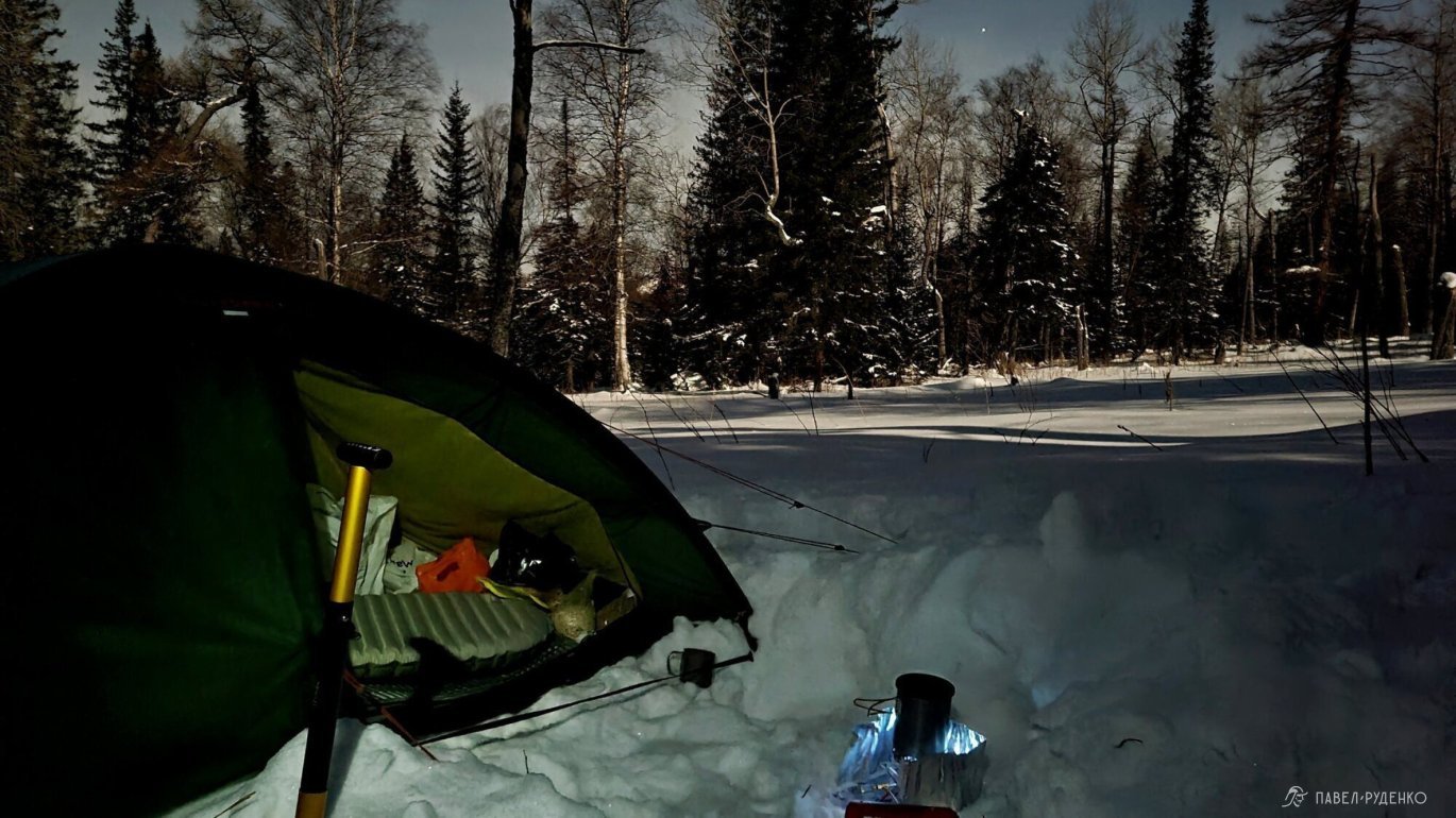
Pitch the tent in forested areas. On winter treks, pitch your tent in sheltered tree cover whenever possible instead of scenic, exposed spots—which I usually prefer during the other three seasons. Wind and freezing cold combined with low camp activity are no fun at all.
Thin fleece fingerless gloves didn't prove practical for smartphone use. Handling cold metal gear and other objects quickly numbs your fingertips. I also tested gloves with partially slit fingertips, which worked noticeably better but still weren't ideal. Next, I'll be looking for thin fleece convertible mittens with flip-top caps.
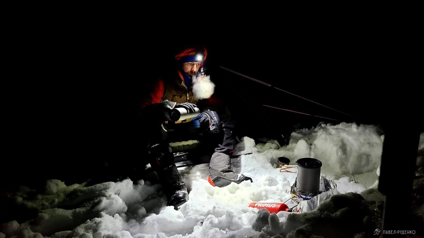

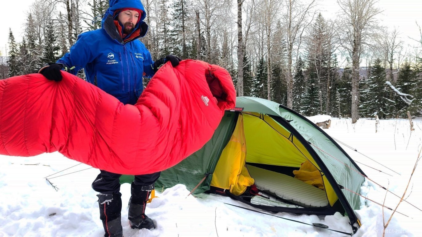
Gear
- Hilleberg Unna tent
- Mountain Equipment Glacier –35 down sleeping bag + silk liner
- Therm-a-Rest NeoAir XTherm sleeping pad + Therm-a-Rest Solar
- Asnes Nansen waxless skis + short nylon skins + long mohair skins (for testing)
- Leki Khumbu trekking poles 145 cm
- Alfa Outback boots
- Klattermusen Tor 100L backpack



Comments (0)