
Trek dates: 20.07 - 27.07.2019
Distance covered: ~110 km
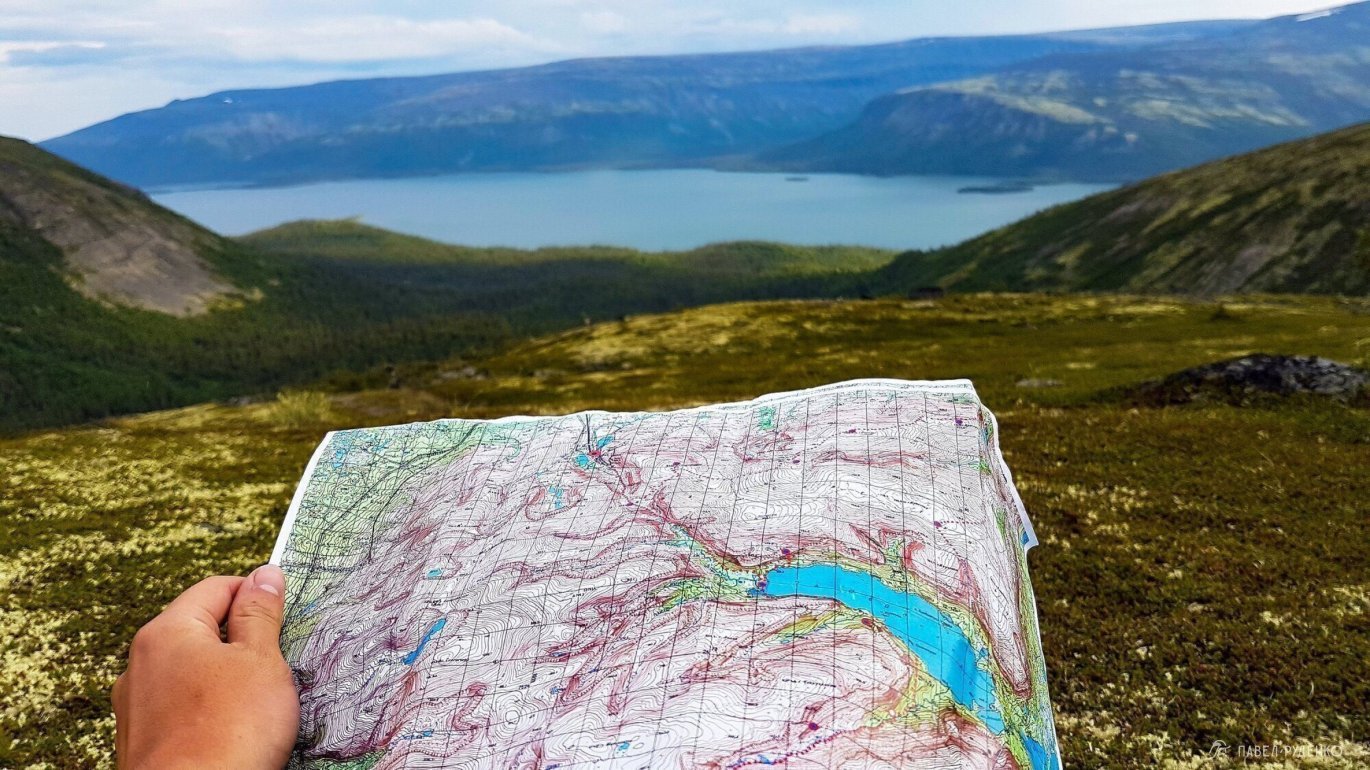
After completing the trek, I optimized the route, making stops in places I found beautiful and logical. You can take my 7-day trek as a basis; it's plotted on nakarte.me. From there, you can download it to Garmin, Maps.me, and other apps in KML and GPX formats.
Day 1
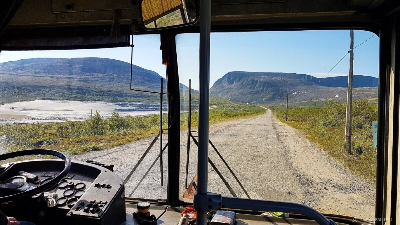
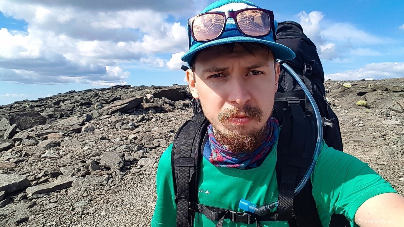
From Olenegorsk railway station to Revda, I took 4 rides, a car dropped me off at the first grocery store at the entrance to the village. I looked inside, bought bread, and walked along the main street. Still on the train, I remembered that I completely forgot about mosquito spray, the most important thing... Infinite happiness that, thinking about the upcoming journey, I remembered the flying parasites. The stores hadn't opened yet, I stopped in the center and waited until 10 am. The caretaker from the school opposite came up and asked what I was doing here, where I was going. After listening, he nodded and silently left. While I was checking the forecast for the coming days, the caretaker returned and gave me a full баллон of spray... he didn't take money, didn't accept gratitude, that's northern kindness. Thank you, dear person!
The bus runs frequently, I waited no more than 10 minutes, rode alone, no money was taken for the fare. At the checkpoint, I checked in with the security and asked the questions I was interested in. I decided to enter through Geologists Pass, so I went back 1 km to the turn to the left. The uphill road is a dirt road, you can drive a car, at the first fork I turn left to the Cirque.
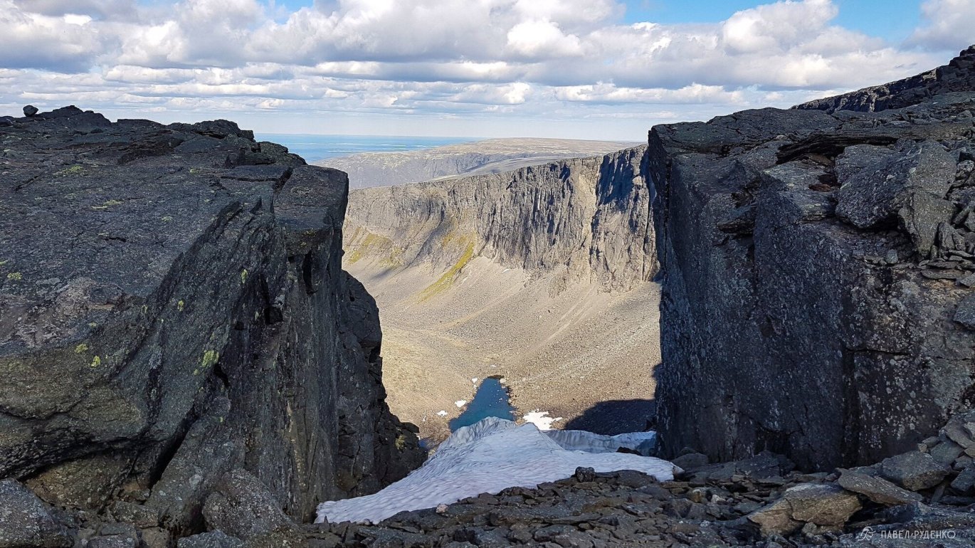
Also they say: Kar (from German Kar (jug, gutter)), cirque, chair — a landform, a natural bowl-shaped depression in the upper part of mountain slopes. Cares have steep, often vertical, back and side walls, a flat-concave bottom, usually occupied by a glacier. Some cares have firn accumulation, others have seasonal snow accumulation.

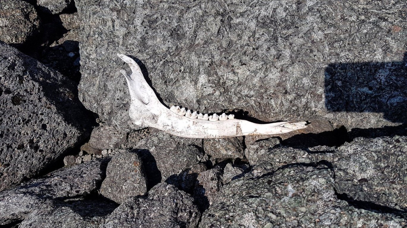
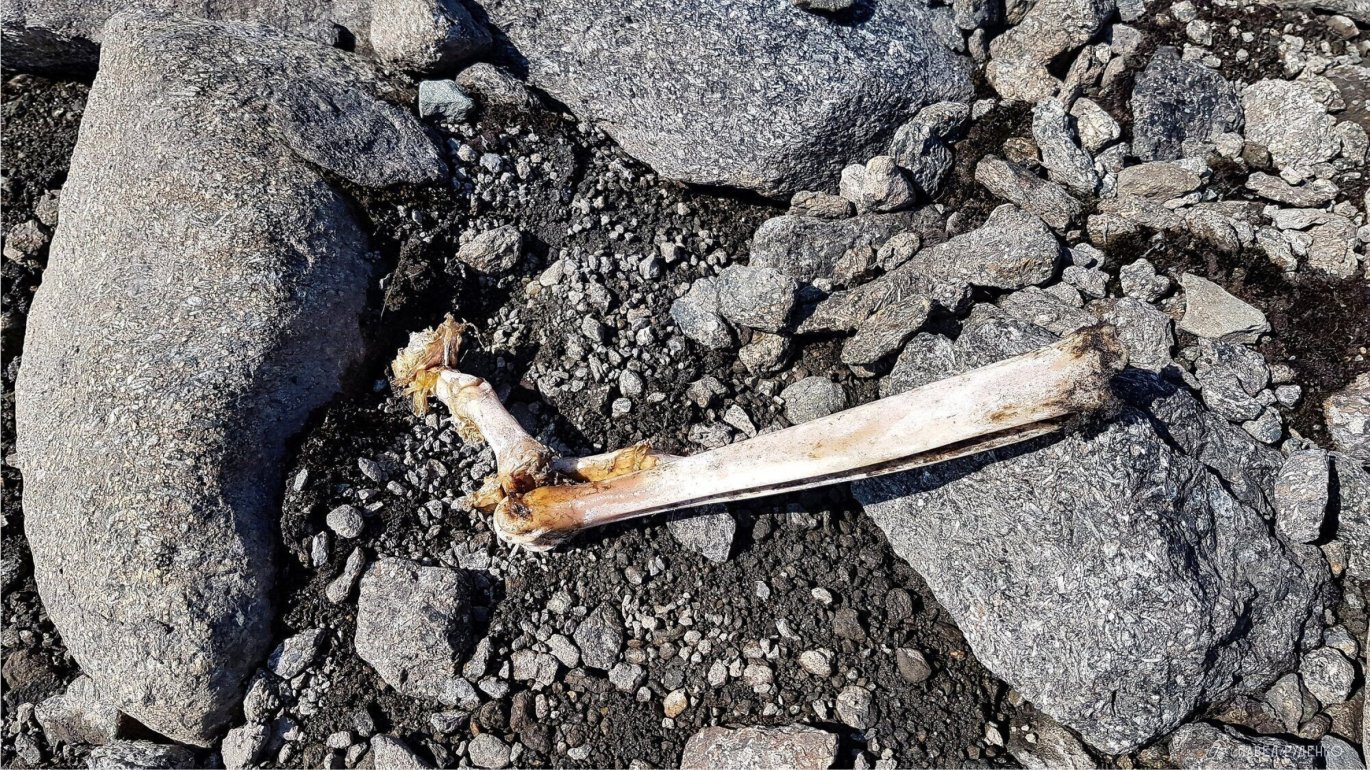
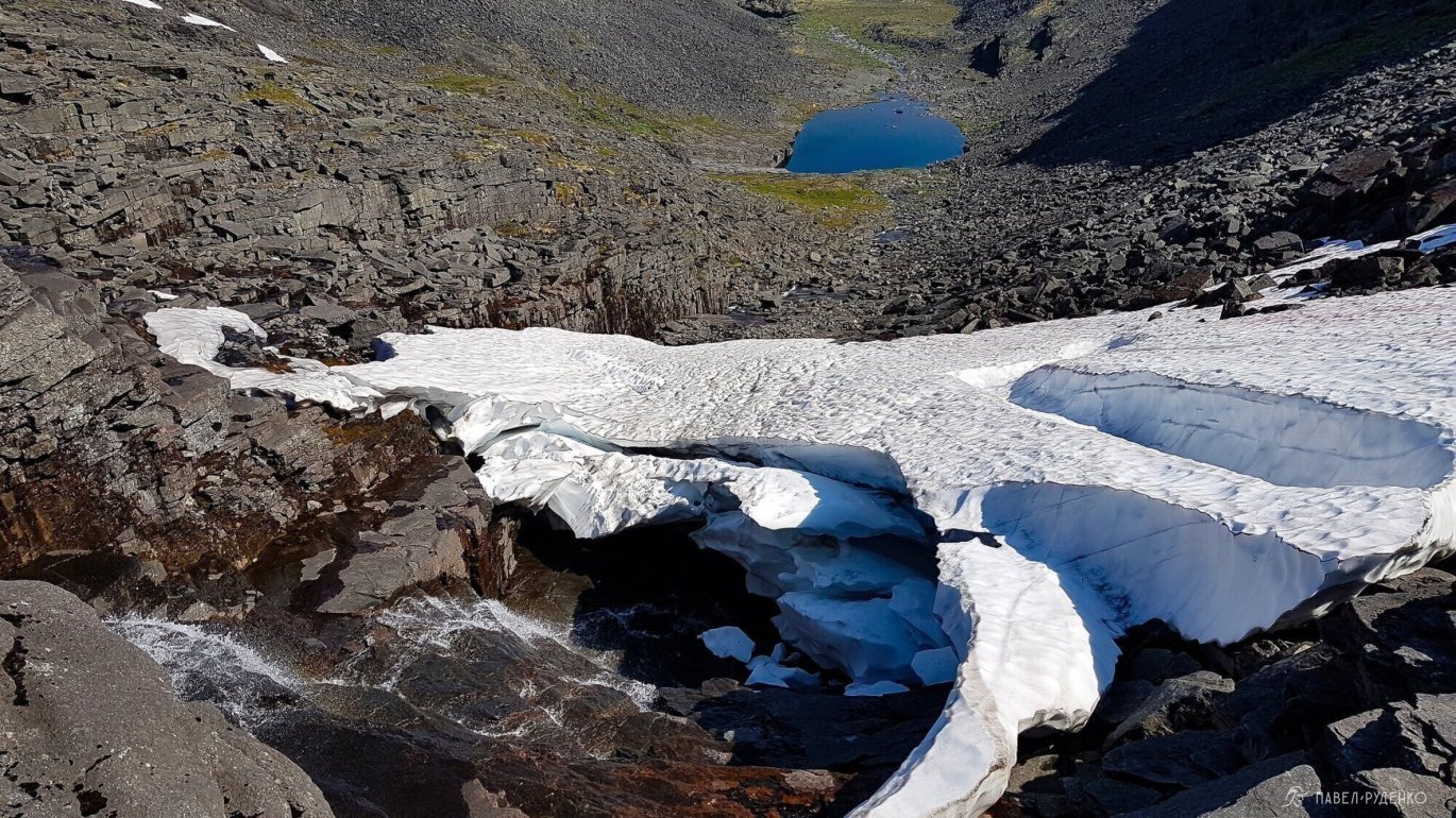
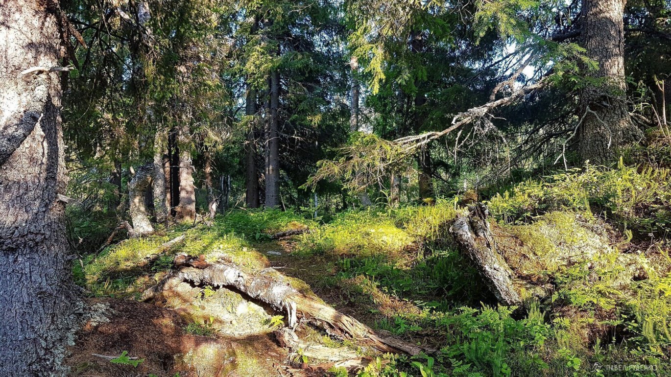
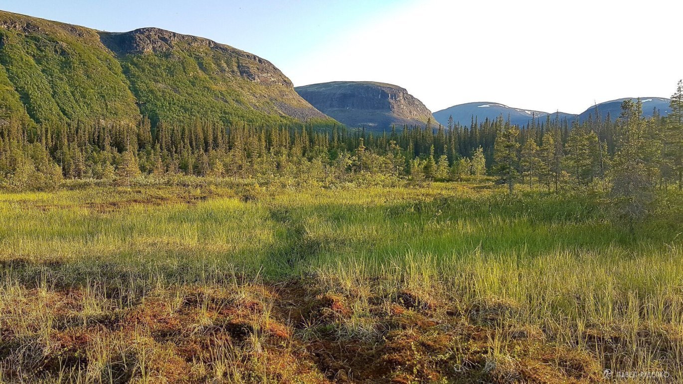
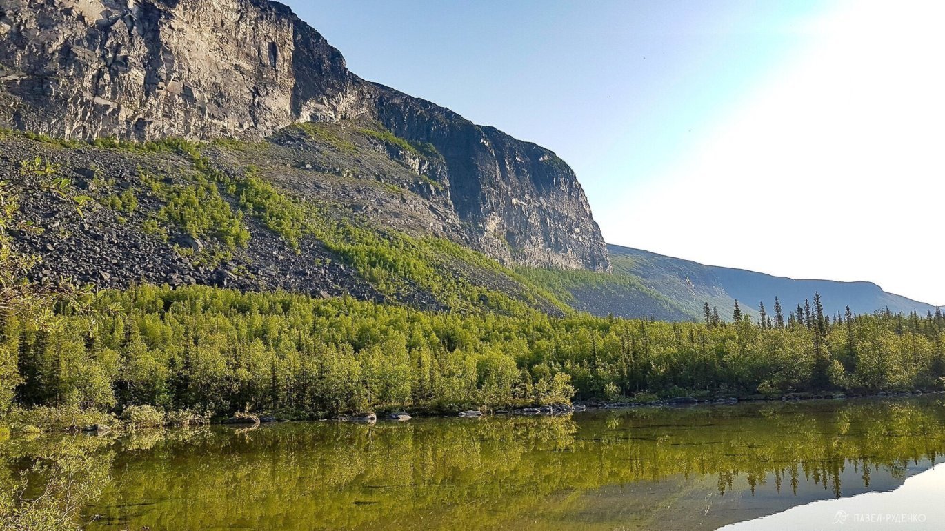
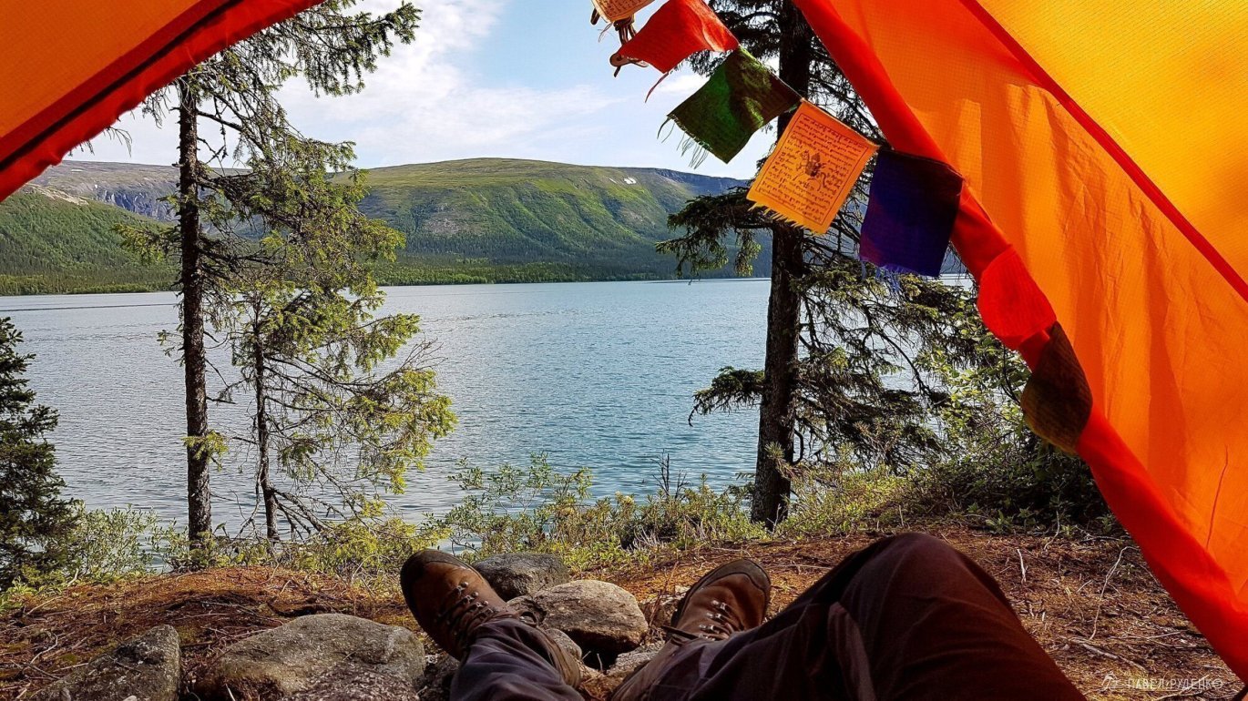
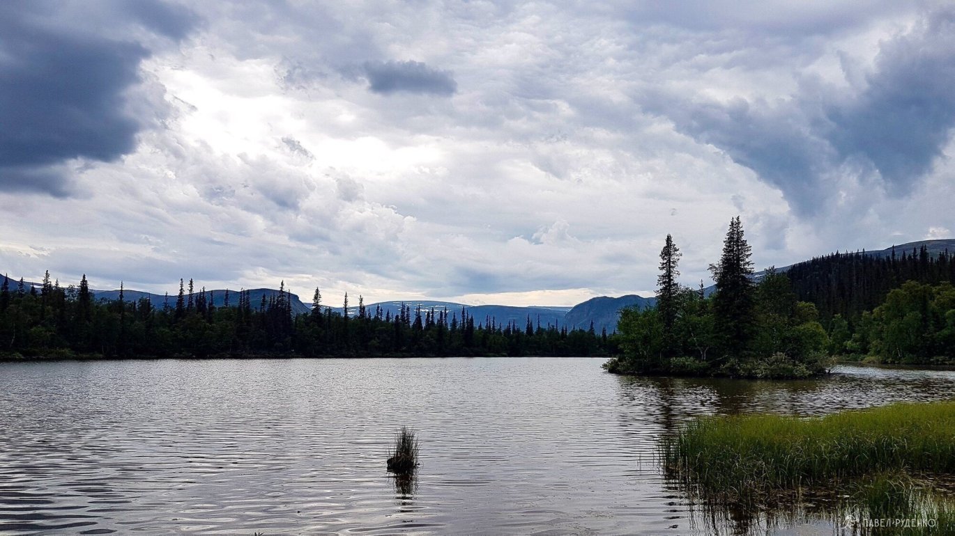
The place is stunning, just a perfect panorama of rocks. I dropped my backpack under a rock and went to the icy lake by the cliff. It's cool in the shade, lots of bones. Crazy echo, I strained my throat shouting: “YEAH”. In response, I heard the cries of an eagle soaring along the edge. An amazing place, next time I'll stay here overnight.
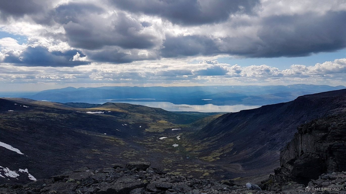
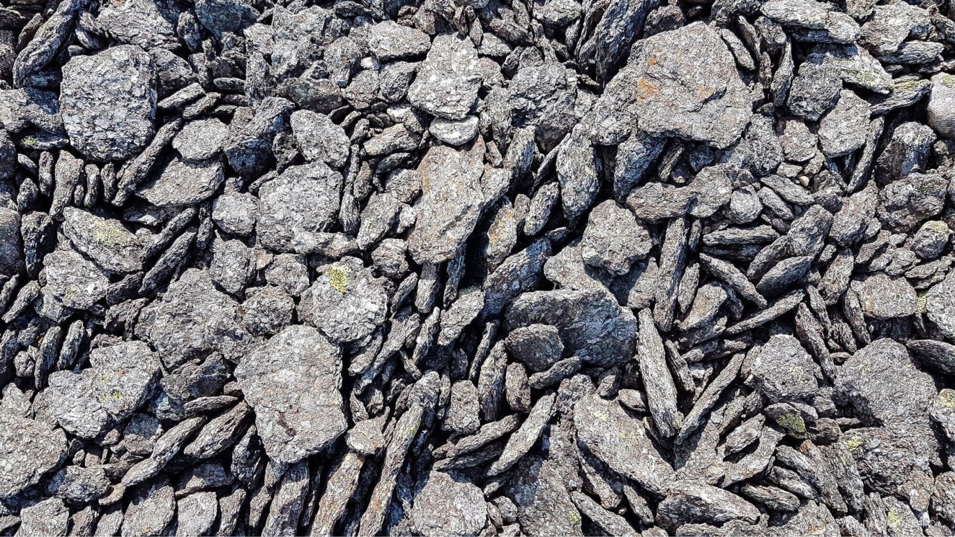
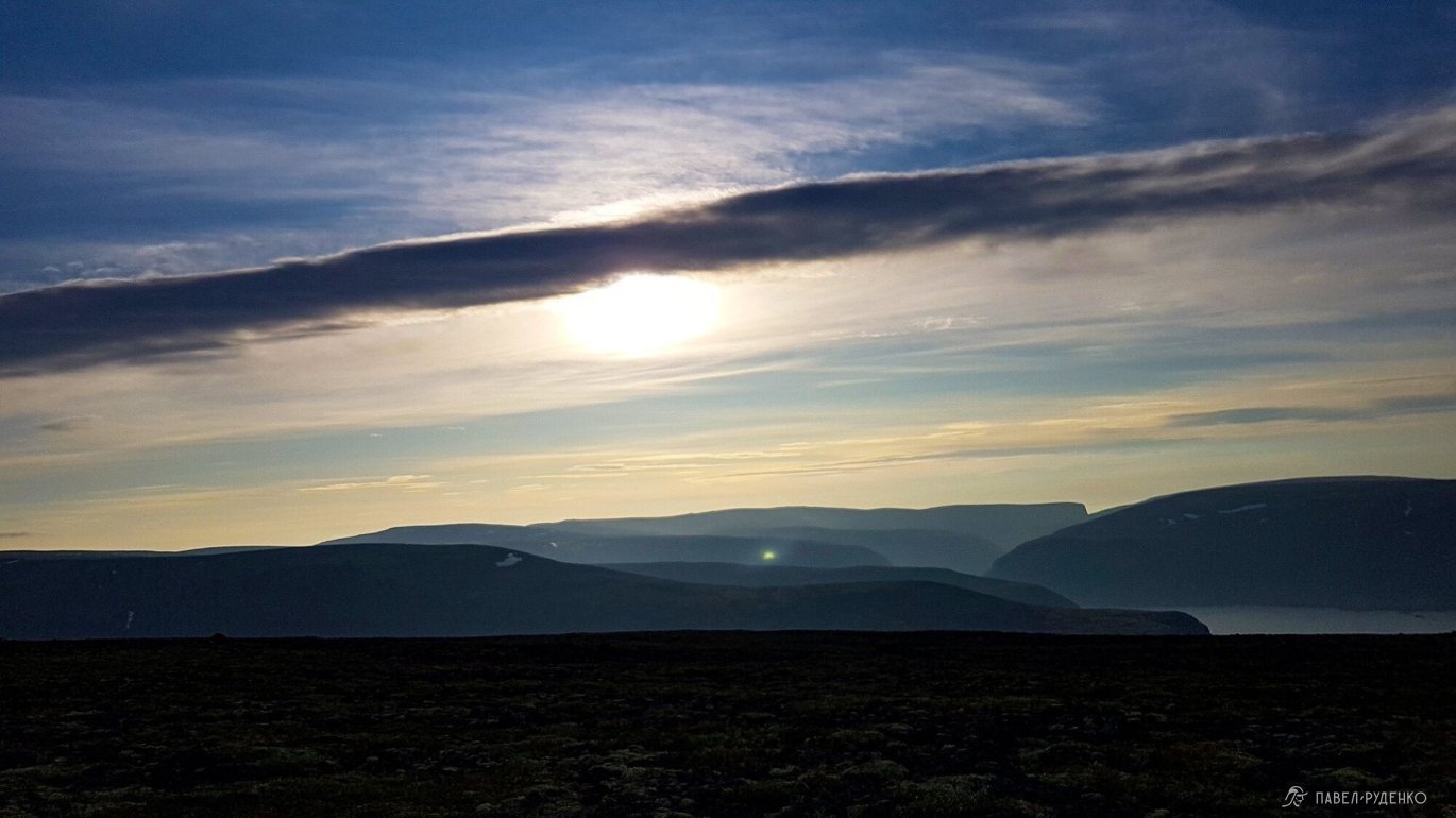
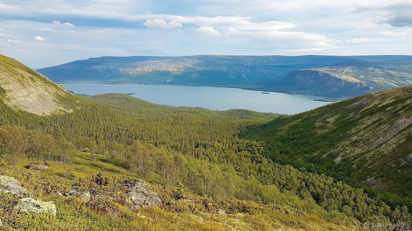
I zigzagged up the scree to the top of Alluayv 1.050m. The wind is strong from the west, I hid behind the rocks, had a snack of a bar and nuts. From Geologists Pass, there's an awesome view of the cirque and Umba Lake. In poor visibility, you need to be extremely careful here, the plateau is narrow, the cliffs are steep, there are crevices at the edge. For safety, it's better to stick to the road in the center.


On the way up, my knee suddenly hurt, my leg stopped bending. I faced this problem for the first time, decided to go on, but the pain got worse and I decided to look for a place to spend the night. It seems like a plateau, but the stones are too big to put up a tent anywhere. To the right of Kedykvyparkh, I saw a flat area, and nearby a snowdrift where I can get water.
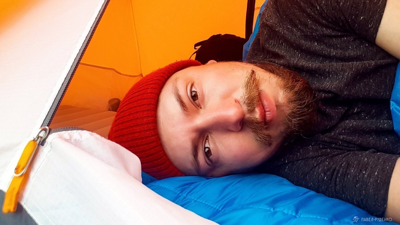
I rubbed my leg, massaged it, and hoping that everything would be fine by morning, sat down comfortably and enjoyed the beauty of the north.


Day 2
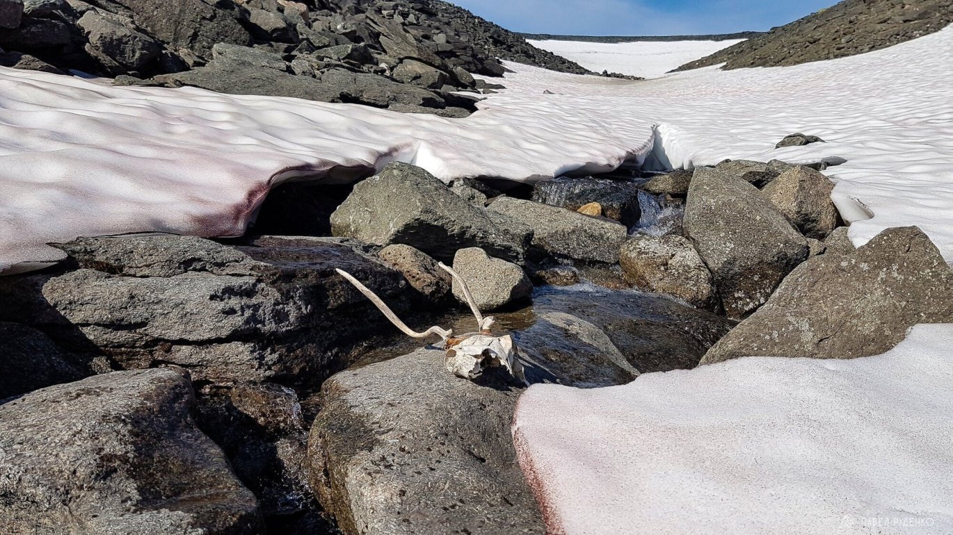
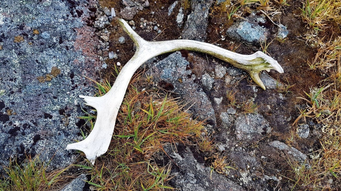
The morning started early. Shadows even from small stones stretch for several meters, I feel like a Martian. Again I went down to the stream to get water and wash my face. This time I found a deer skull.


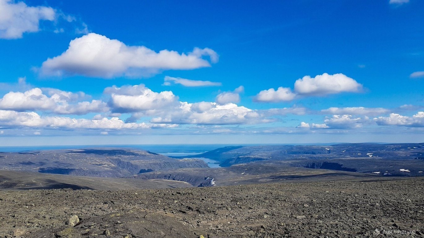
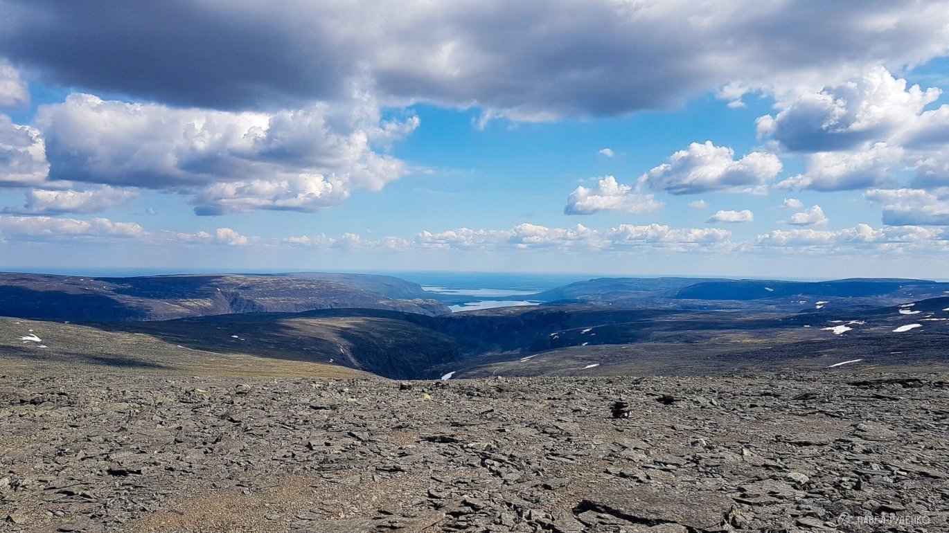
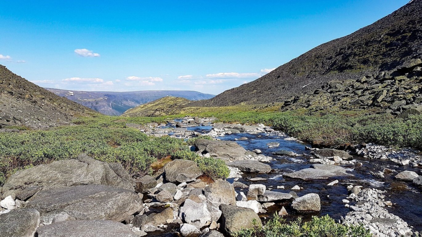
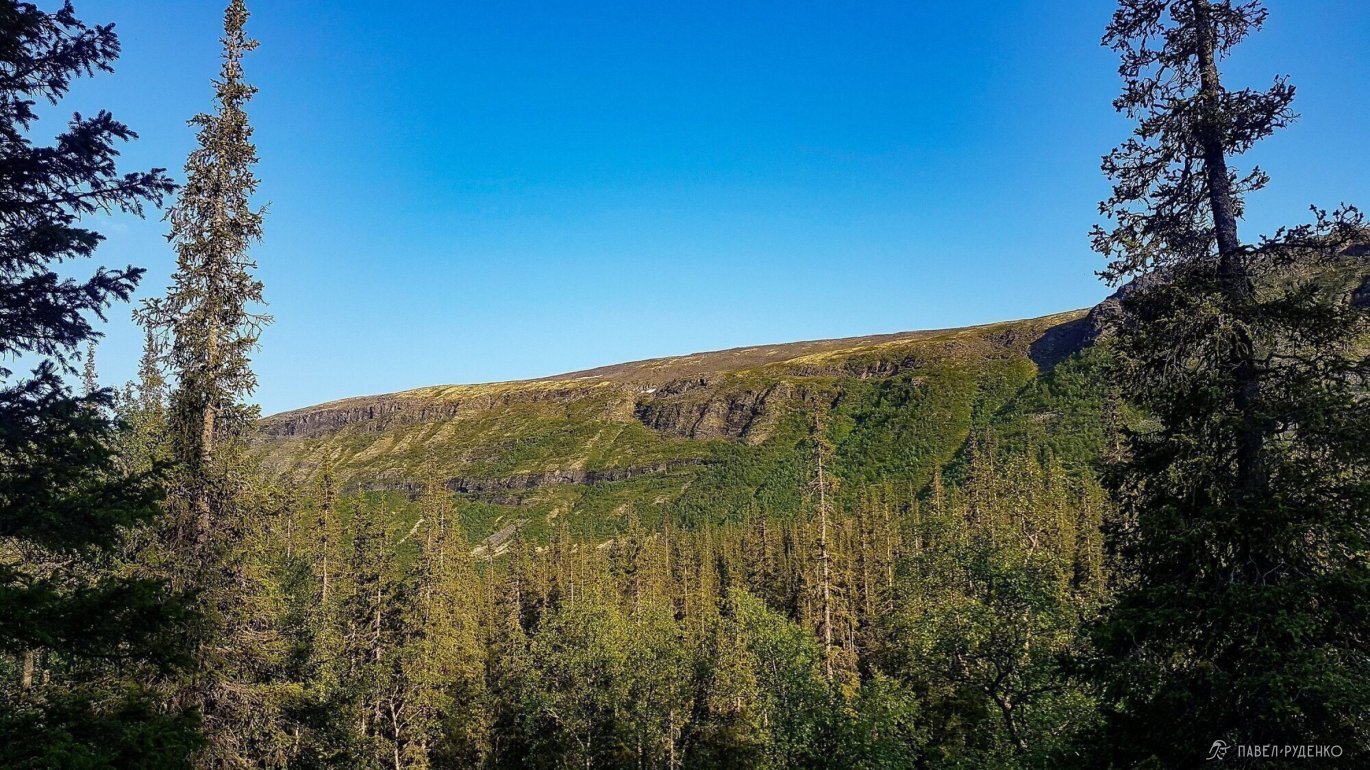
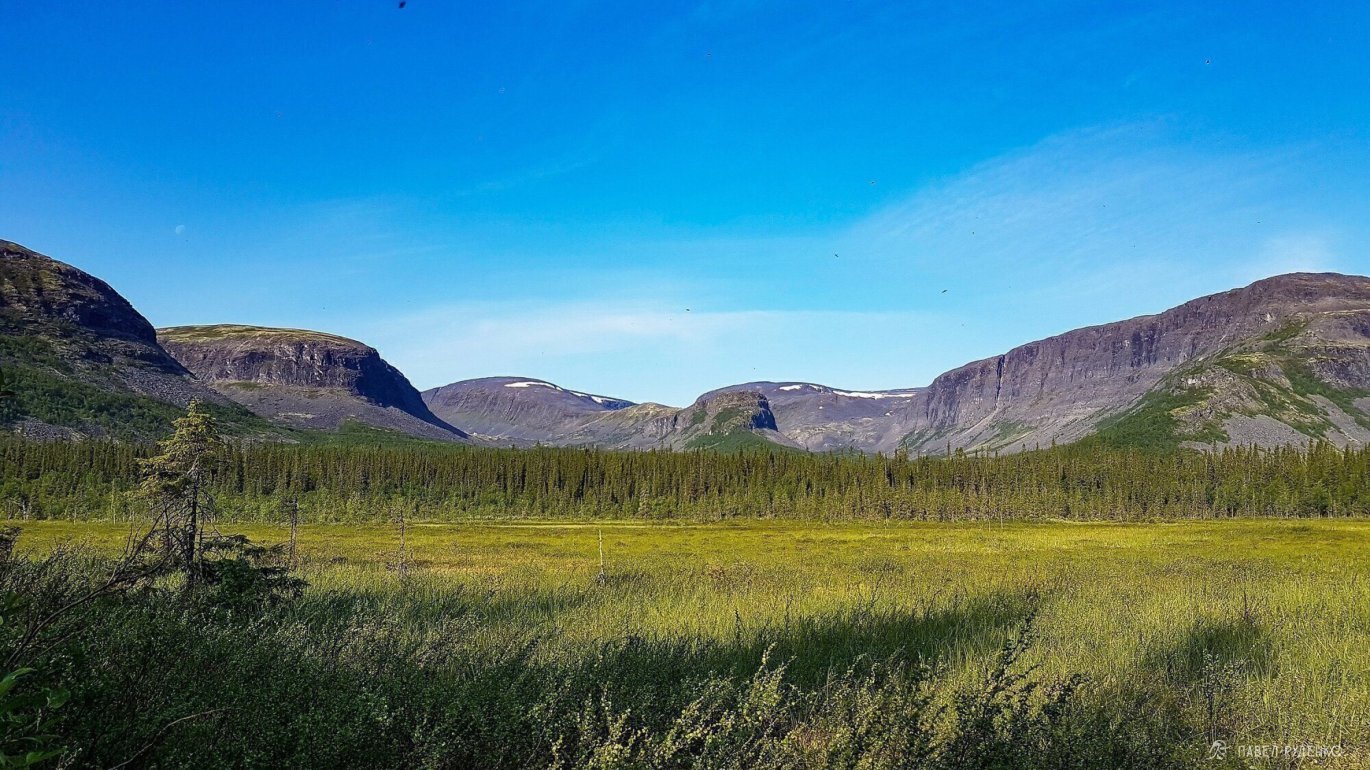
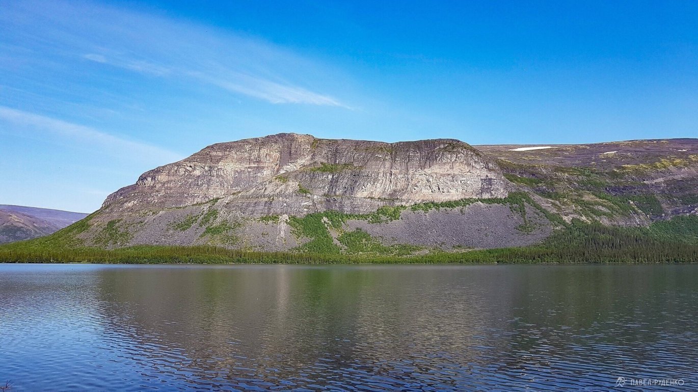
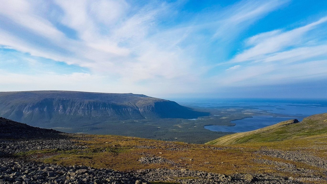
There are many car roads across the plateau, this is the legacy of geologists from Soviet times. It's easy to move along them, but unfortunately they are right in the middle of the plateau, and to see all the beauty of Mount Gorniy and Sengisjavr Lake, you need to cut through the scree, which slows down the speed. From Mount Angvundaschorr 1.120m, there's a cool view, I even caught a normal 3G signal and checked the forecast.
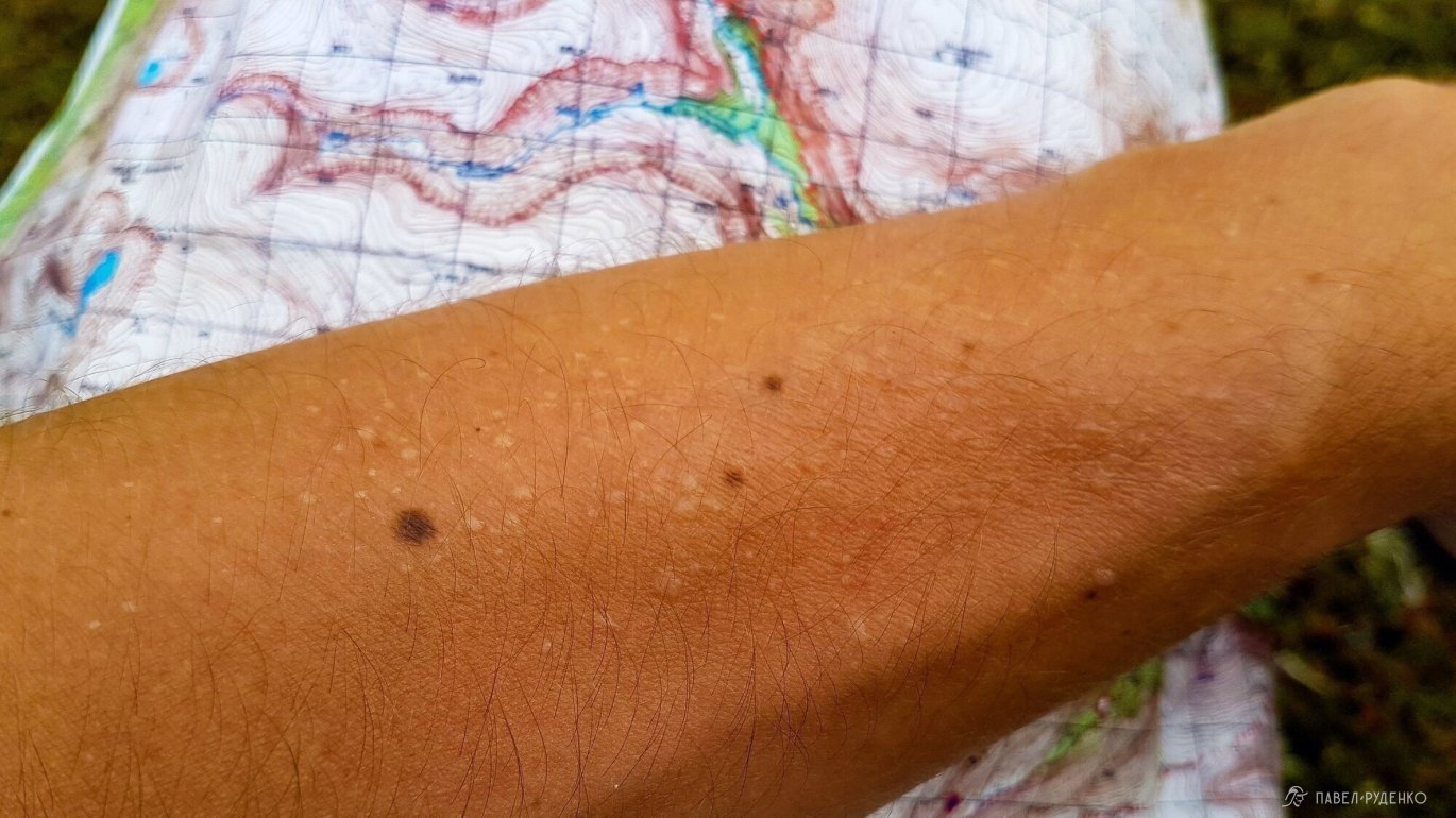
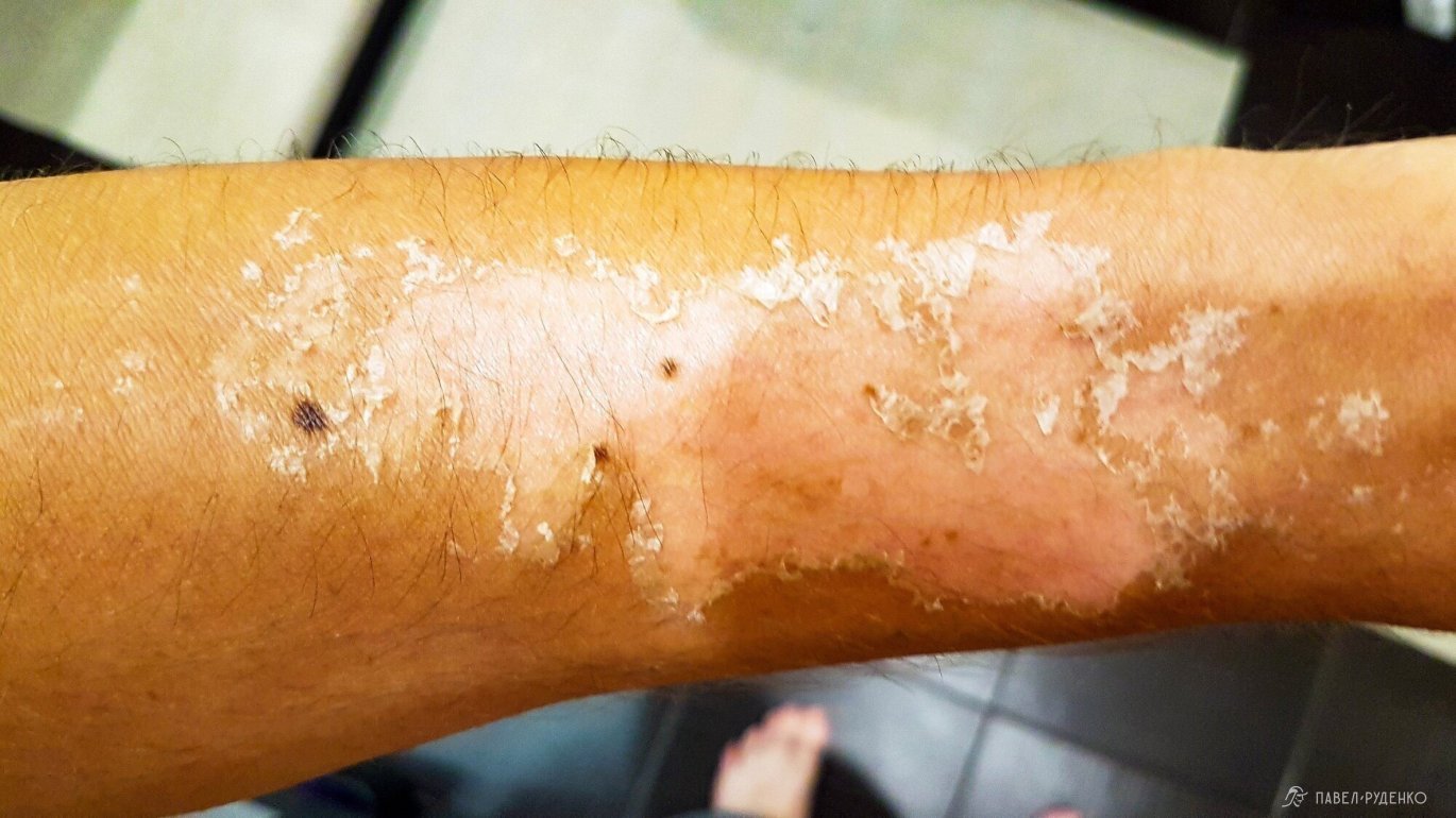
There is no moss and other vegetation in this part of the plateau, just stones, the sun is beating mercilessly, and I forgot my buff and sunscreen... That's what last-minute сборов lead to. I tied a scarf around my neck, and my hands slowly covered with blisters.

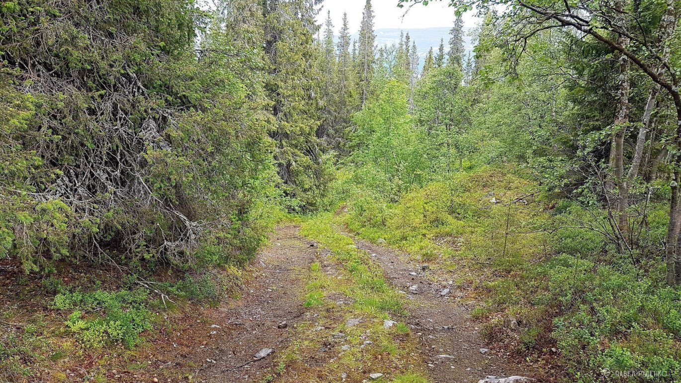
Before Tavaiok Pass, I came across an empty camp, looks like the owners went on an excavation. The car road ends here. The descent is steep and slippery. Water from the snowdrift floods the stones, it's slippery, and my leg hurts more and more. I decided to go back and go around from the left along the top of the pass. Here the car road ends. Further across the plateau, walk on the stones, but in some places there is moss and it's easier to walk.
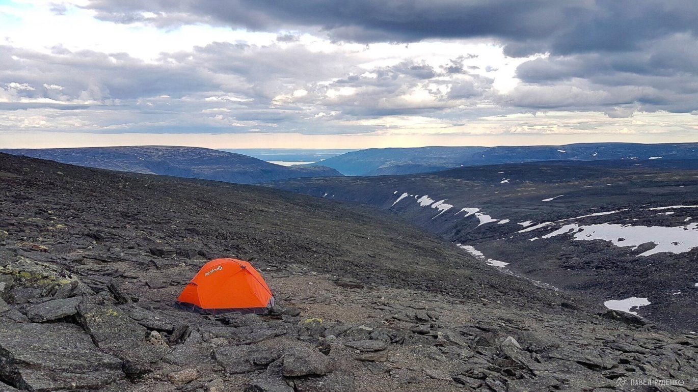
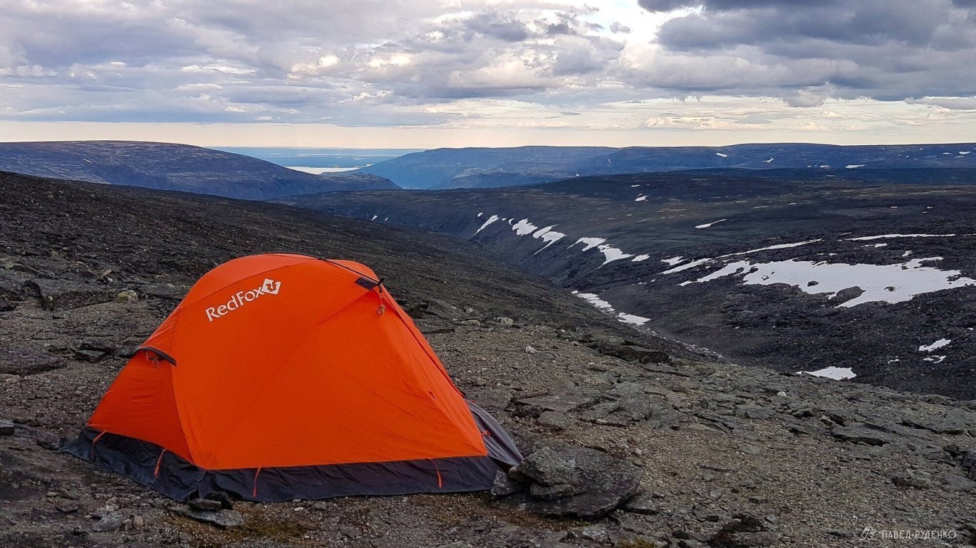
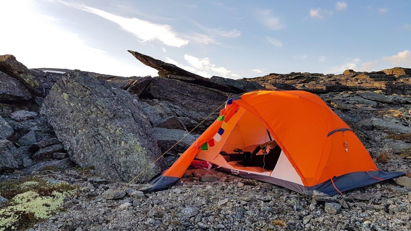
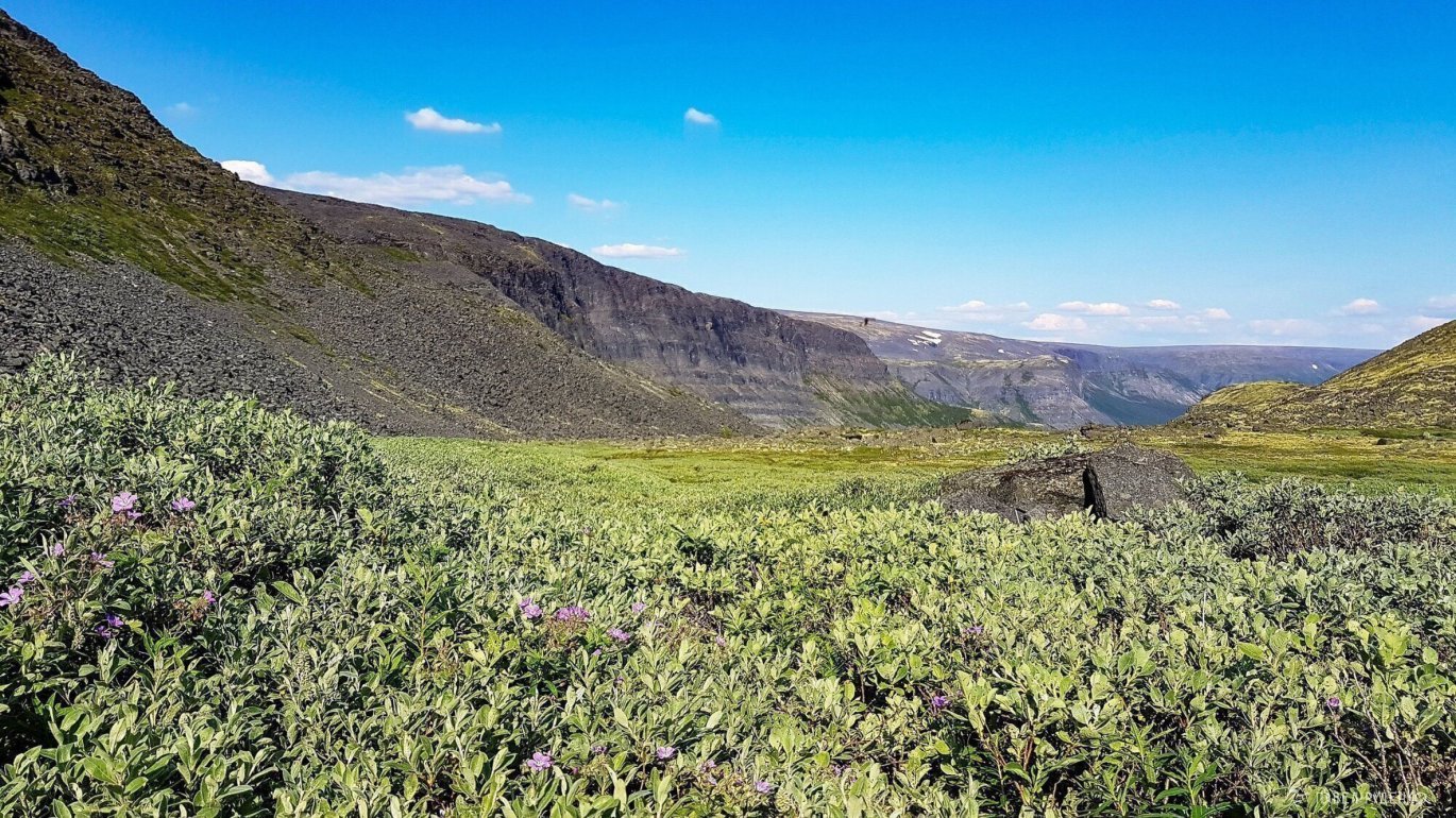
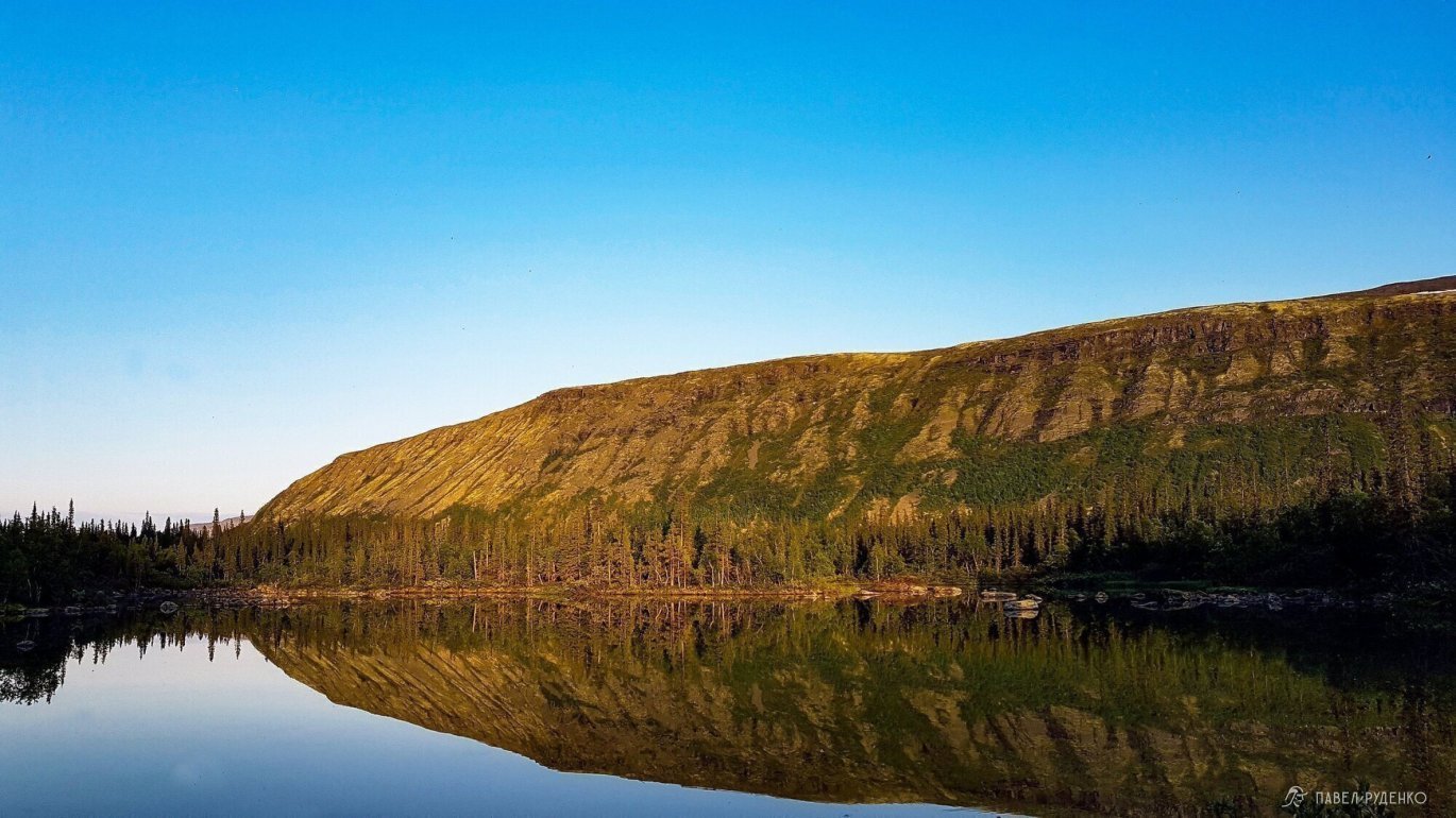
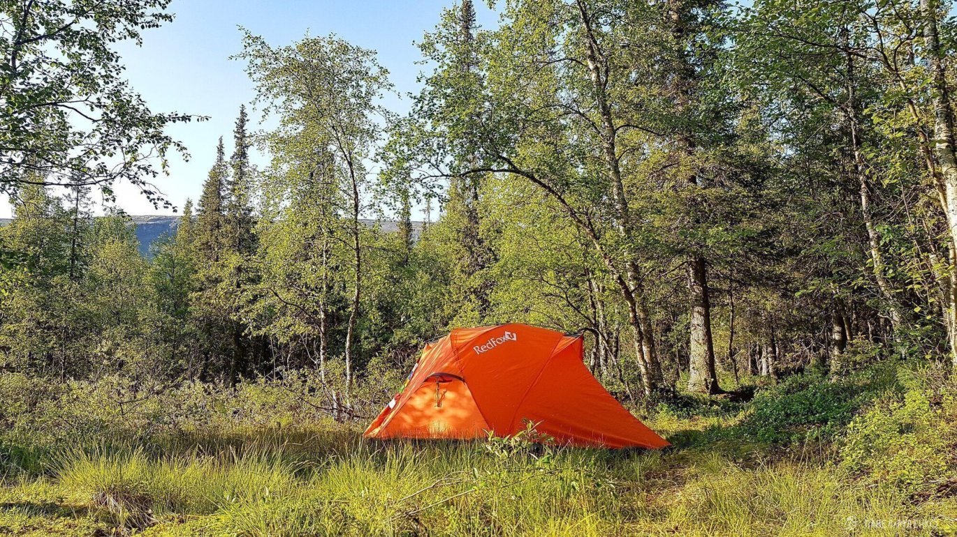
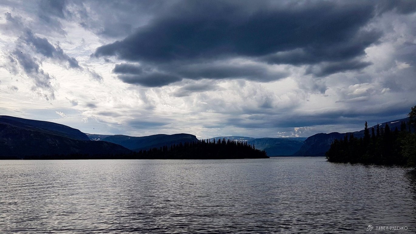
What a view opened up... just awesome. Tavaiok is like New Zealand landscapes, I love the north. I hung out here and decided to pitch a tent with a view of the gorge.


Join the best treks in the Kola North this year:
Day 3
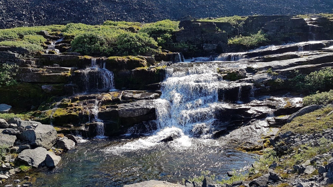
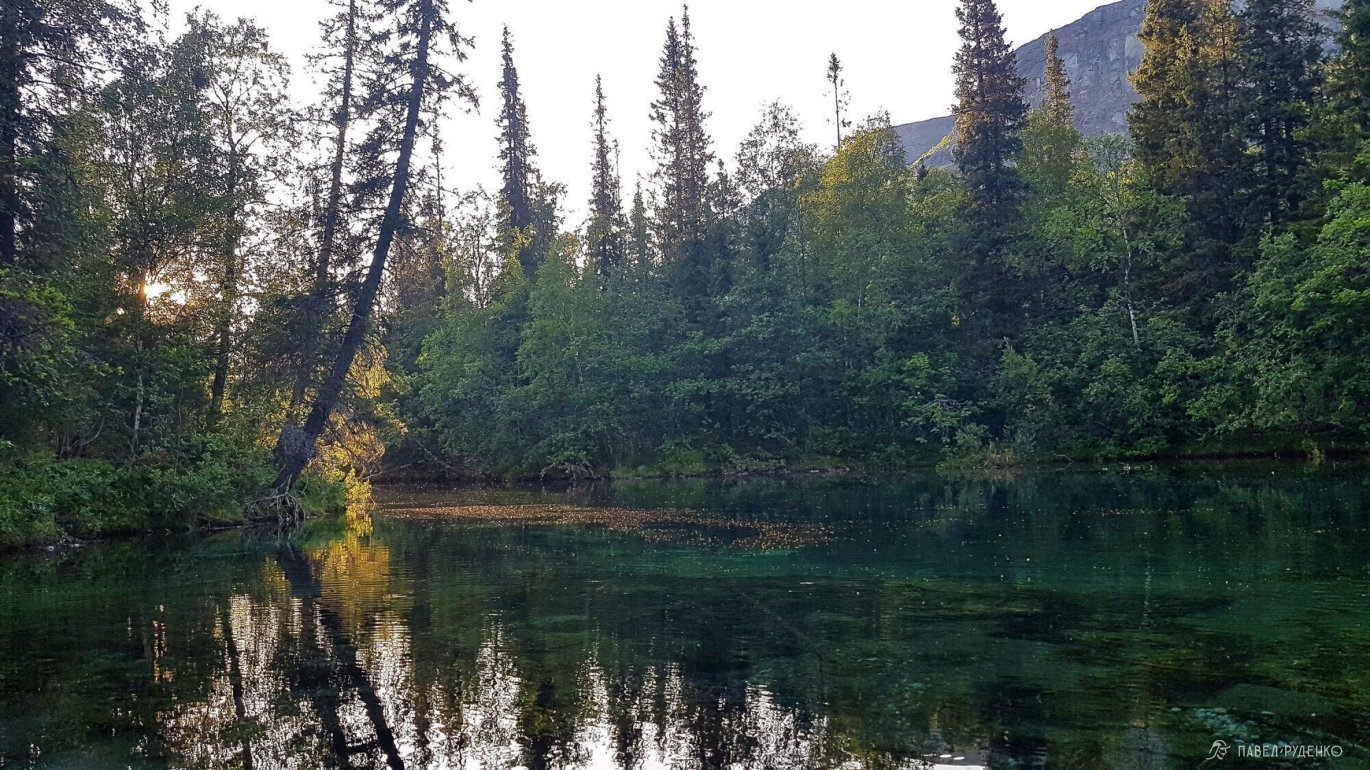
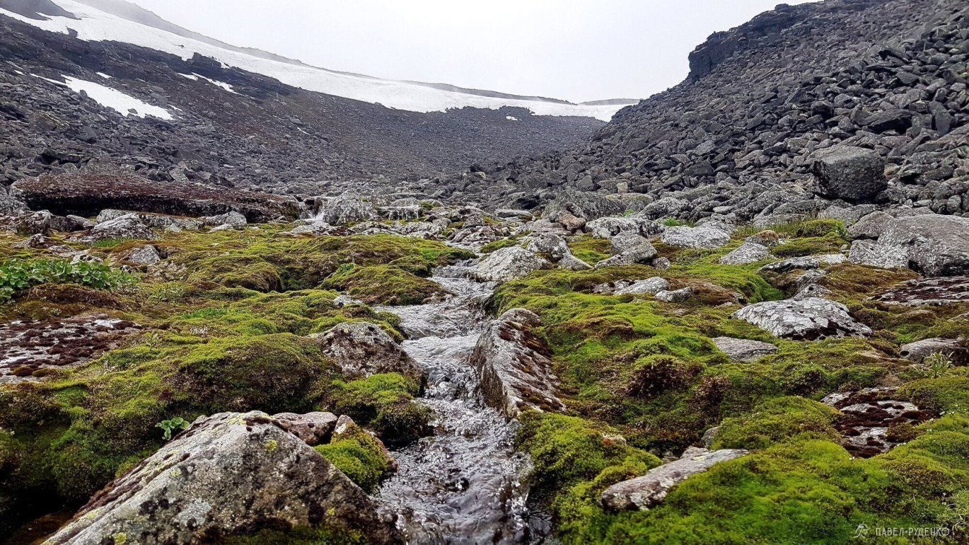
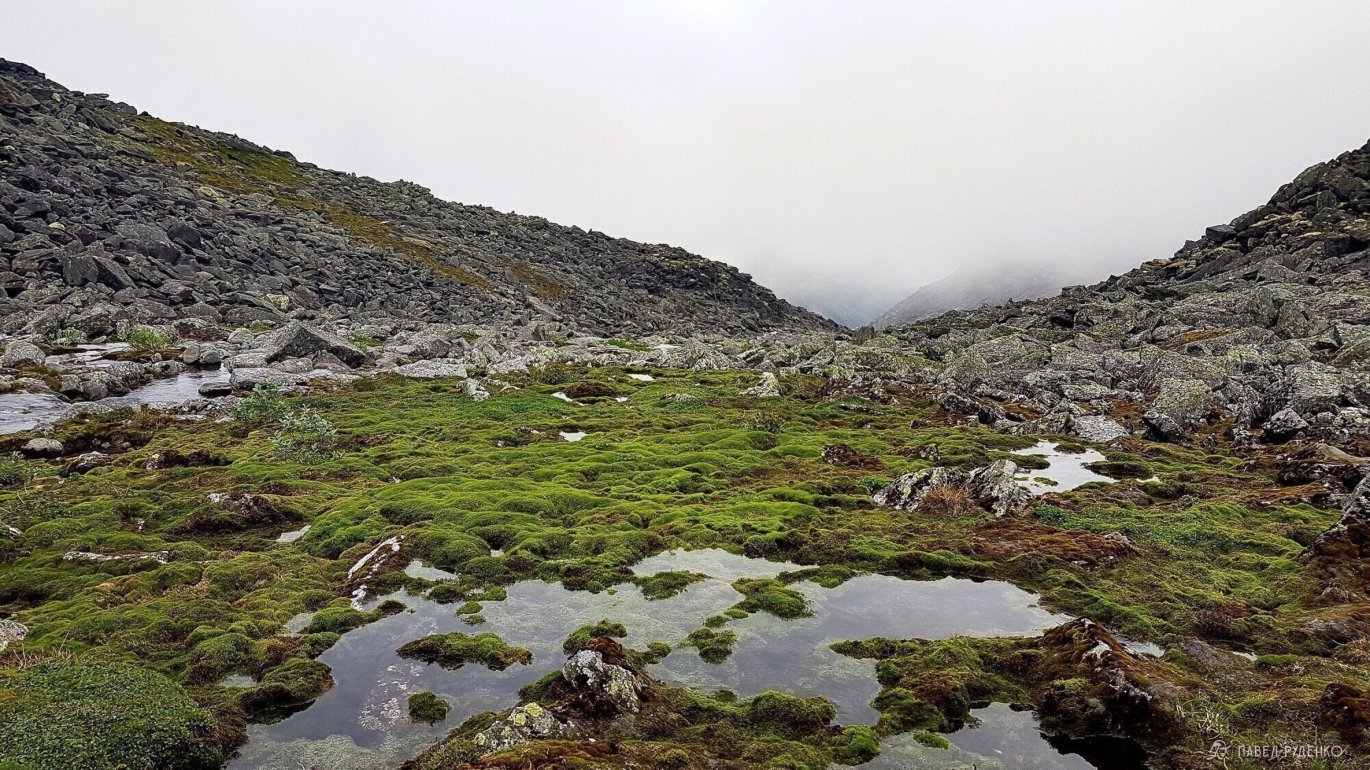
My plan was to move further across the plateau, but the stones were already pretty annoying and I decided to turn into the Murnuay gorge. In some places, the trail is visible, in others, I walk on the snowdrift. The stream widens and turns into a gorgeous waterfall. One of the most beautiful places in the Lovozero tundras.


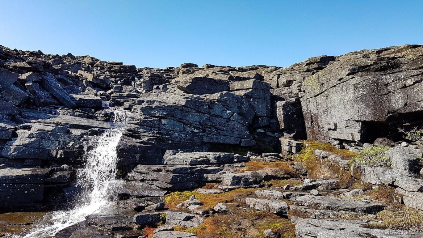
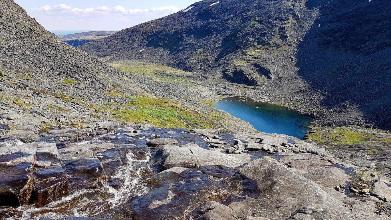
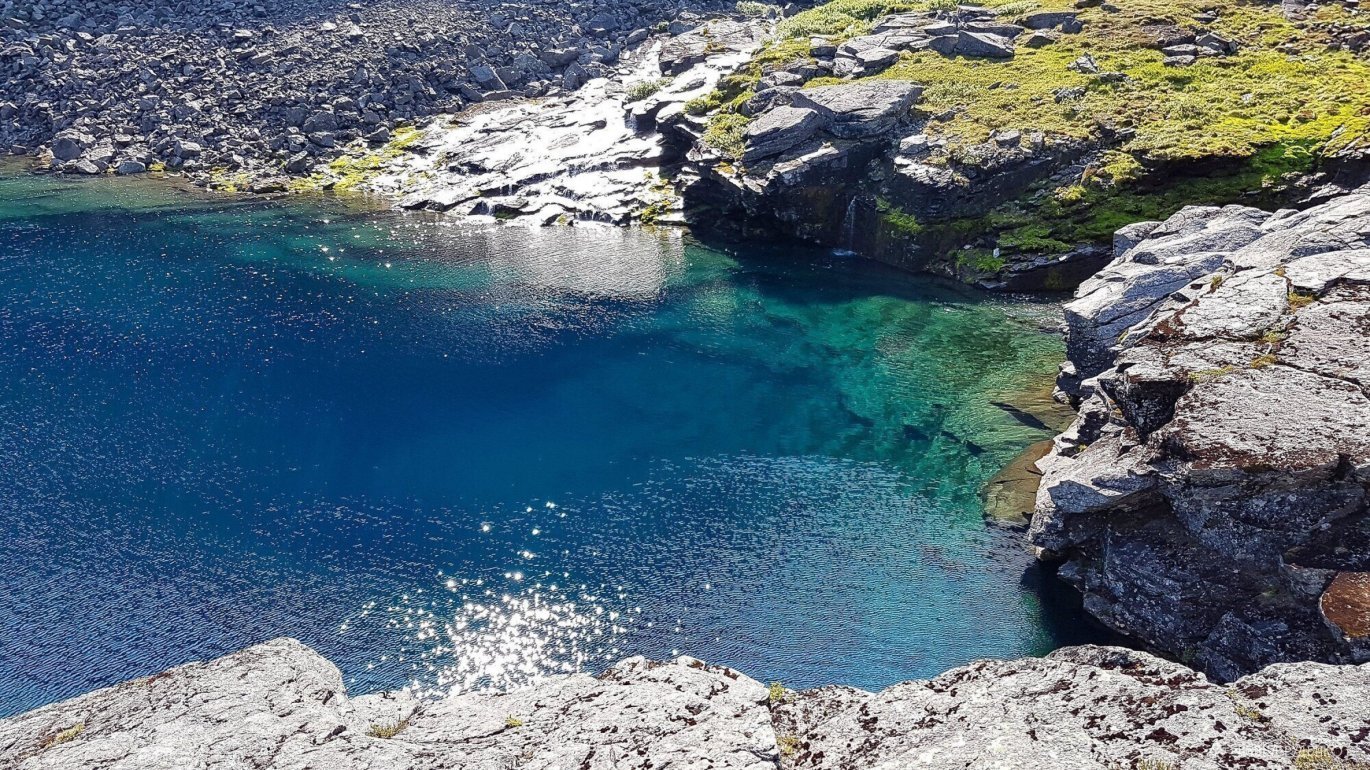
More and more. I stayed for a while, drew, breathed the air. The waterfall formed a beautiful lake, deep, turquoise. On the third day, I met hikers for the first time. The girl told me that the guys went down the gorge for exploration, and we had a cup of tea, chatted. The guys are spelunkers, they left their site ursus-speleo.
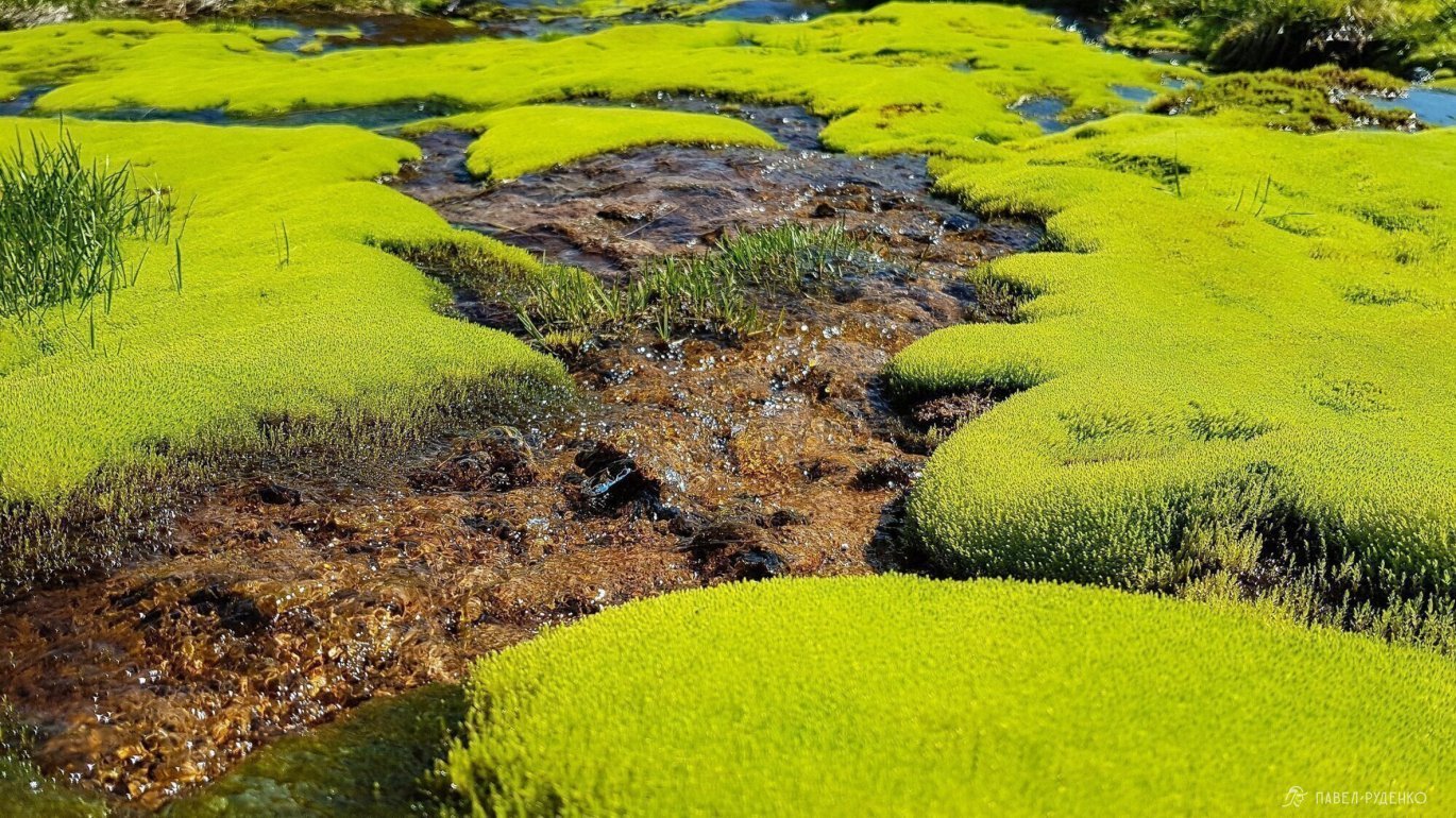
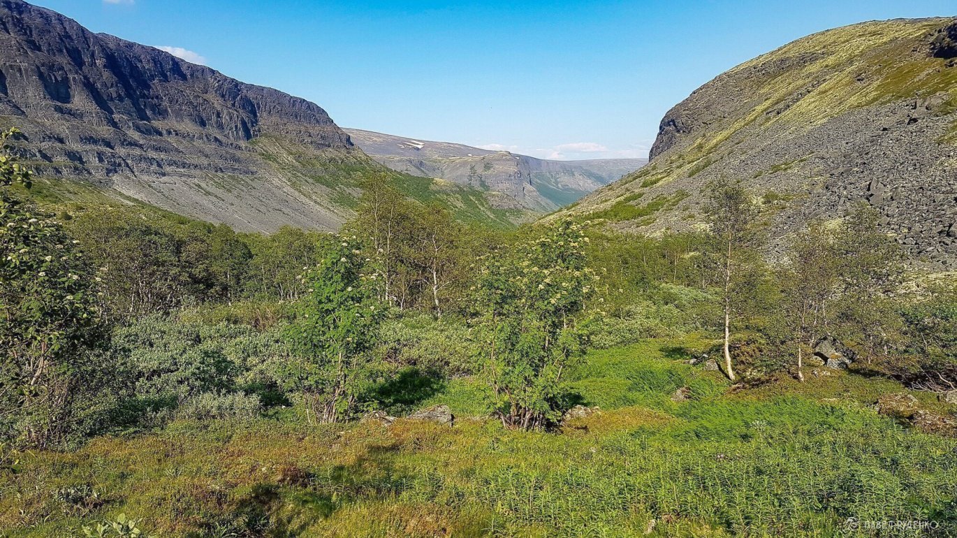
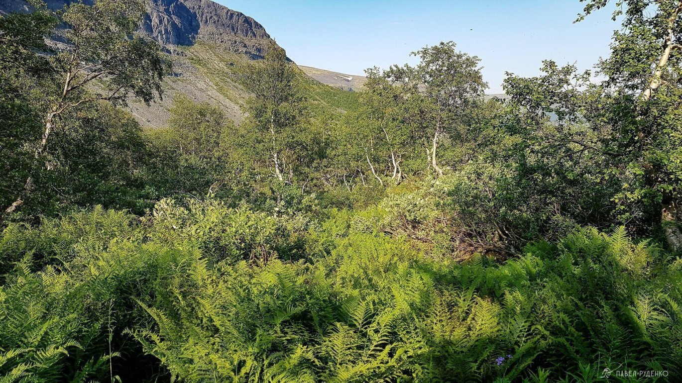
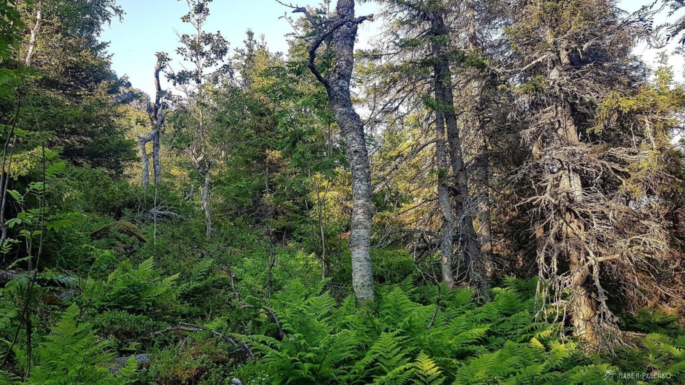
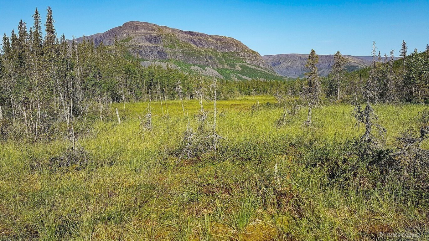
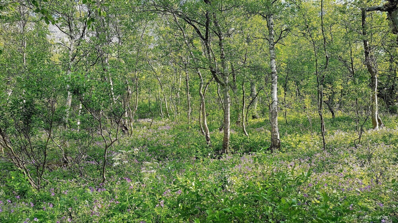
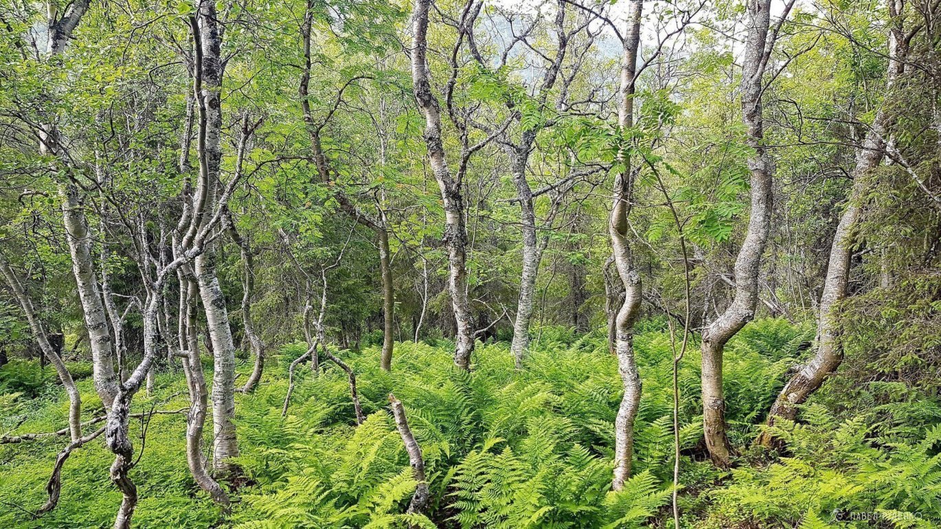
Right after the lake, the vegetation increased. After the rocky plateau, the picture changed from gray tones to gray-green. The river periodically rushed down in small waterfalls and meandered. I lost the trail and walked for a long time through a large scree on the left, when I came across dense bushes, I crossed the ford, but the marked trail on the map was not found. I hopped from hill to hill and made it to paradise garden. Behind a large hill, a forest thicket is hidden, literally 20 meters away, the landscape completely changes, incredible contrast and inner joy. Ferns are taller than the waist, stunted trees.
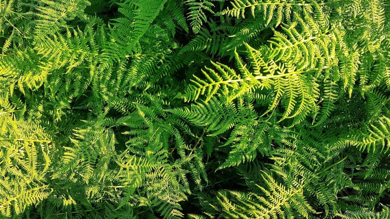

For about an hour, I wander through waist-high bushes, fell into earth pits half a meter deep a couple of times, which are not visible behind the ferns. All the time I worry about bumping into a bear in the bushes. The trail on Openstreetmap does not match reality, I decide to look for happiness on the other side of the river and случайно meet the guys whose tent was by the lake. The river is turbulent, but the crossing point is found. I found out that there are 3 trails to Seydozero from here. Along the river, the trail is flooded in places, at the very foot it gets lost due to landslides, so I go in the middle.
Half an hour later, the road becomes obvious, you can't get lost here, and I speed up all the way to the bog at Seydozero. The atmosphere is great, crows are screaming, midges are 3 times more, and the pleasant squelching of boots. I decided to go for the night through the bridge to the small lake. The lake is dead, there are no fish, the bottom is covered with a deep layer of silt, and there are a lot of mosquitoes and midges nearby.

Day 4
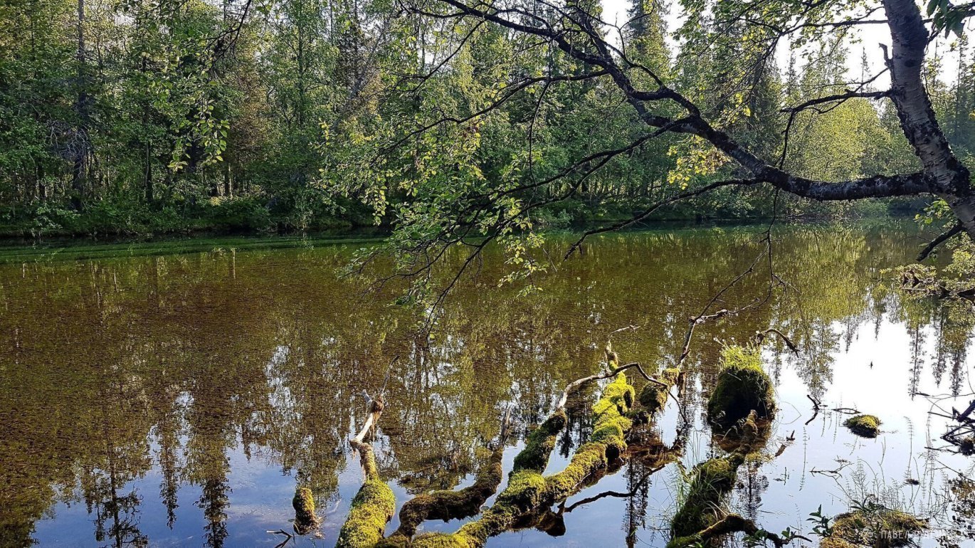
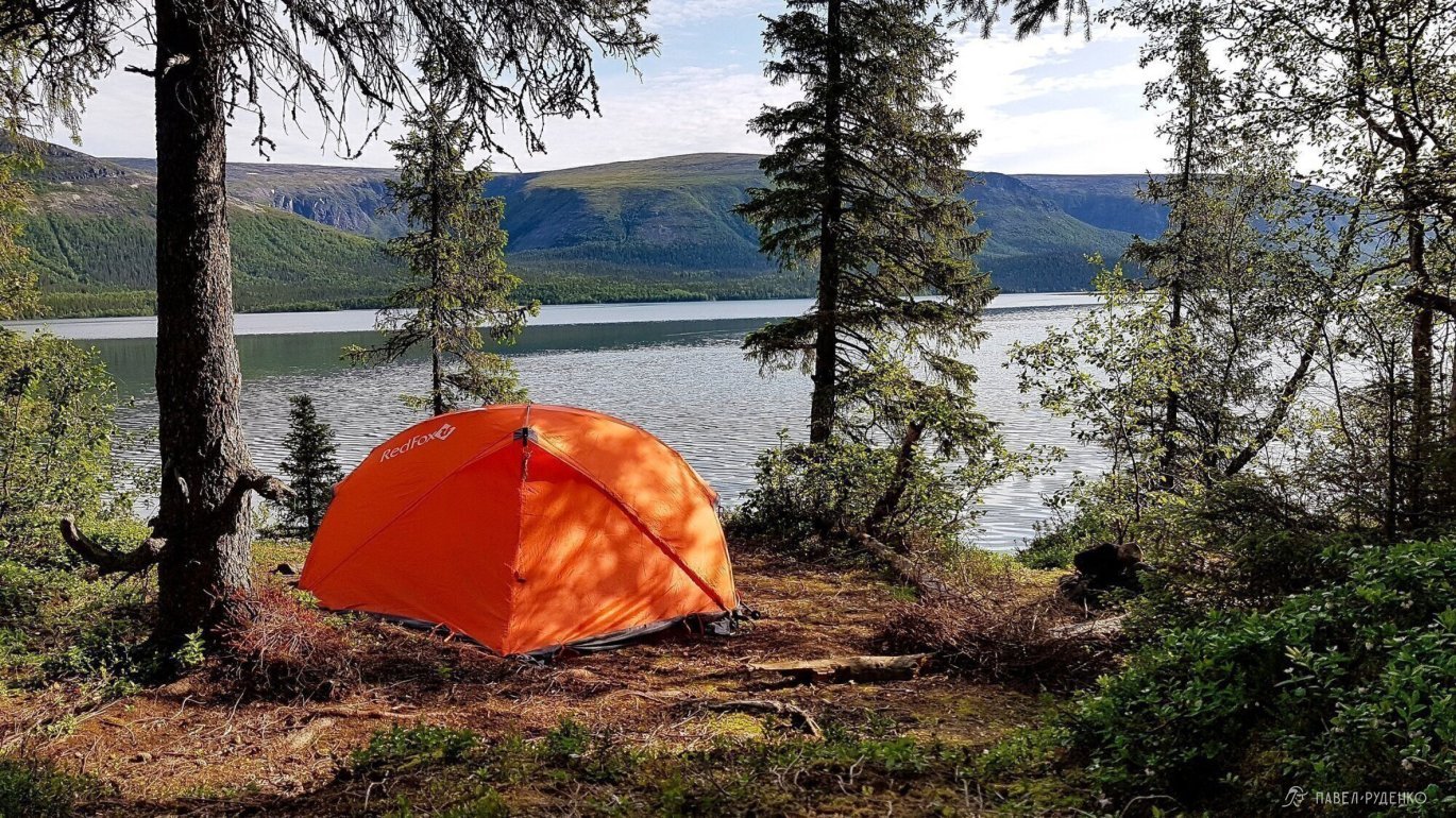
In the morning, I return to the bridge and cross Elmorayok again. God, how beautiful the river is, I recommend camping on its banks. The trail leads to the cape, I noticed several more great places for a tent.
When I heard about the bog, I always remembered the footage of Belarus in domestic films about the war. The soldiers go to the rear to the Germans up to their chests in water and not a step to the side. How glad I am that in the tundra bogs I sink just above my ankles. There's a lot of mud in places, I have to jump a lot, balance on fallen logs, go through the bushes. The trail passes near the lake and I thought that this section could be walked in flip-flops right through the water. It's cold, but bearable, the depth is knee-high.
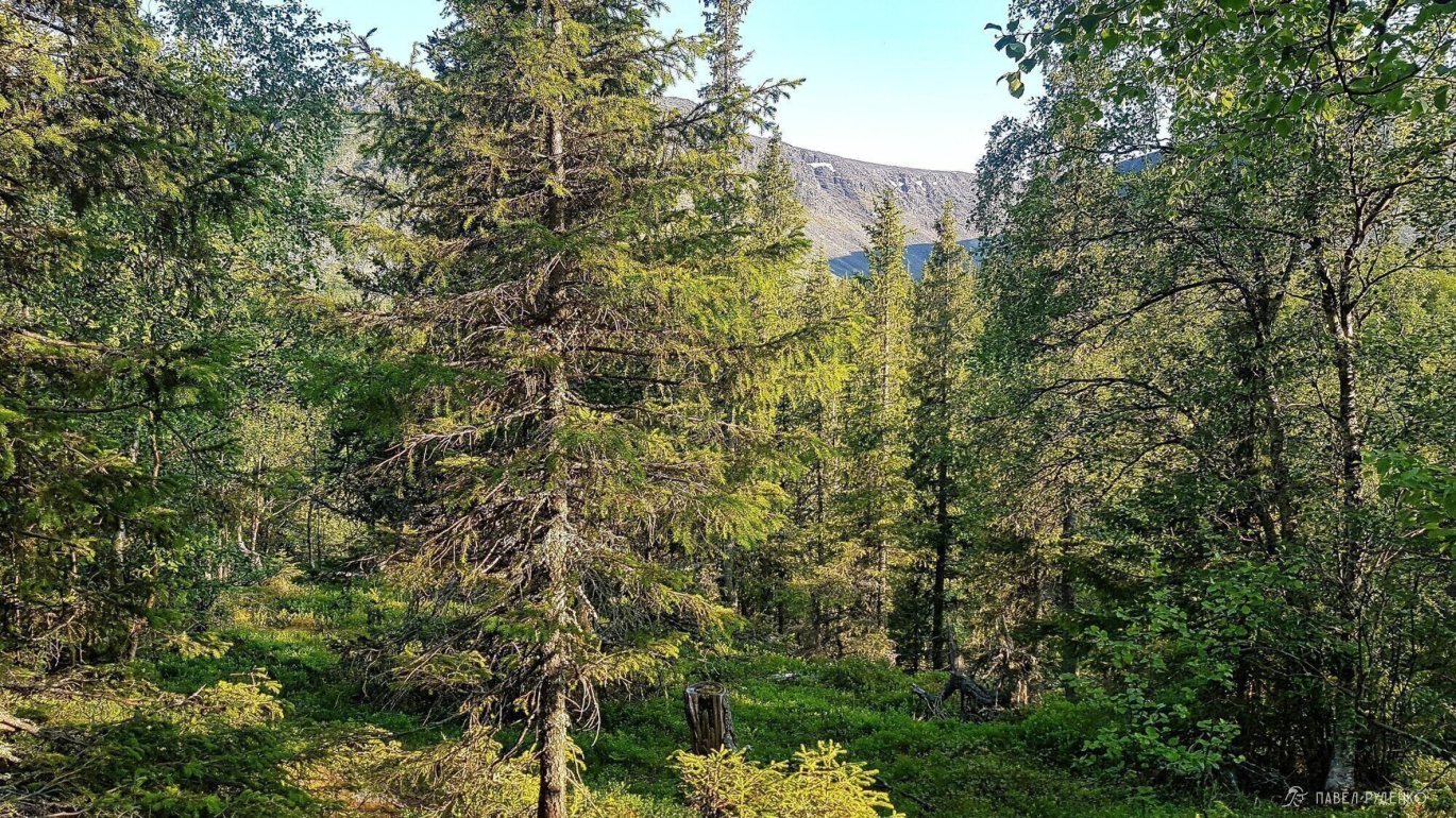
Half an hour later, the trail rises above the lake and becomes much drier. The forest is incredibly dense and beautiful. The vegetation is diverse. The trail is well-trodden, but it's hard to walk. Many branches hang over the trail and I have to bend and dodge, the constant elevation change of several meters is tiring, and there are a lot of roots and stones on the ground. A long hike during the day is tiring and I want to climb above the forest zone.


It's optimal to alternate a day at the lake, two or three days - climbing the gorge to the plateau, and then descent.
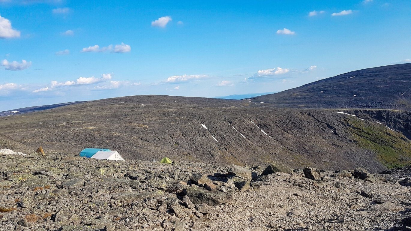
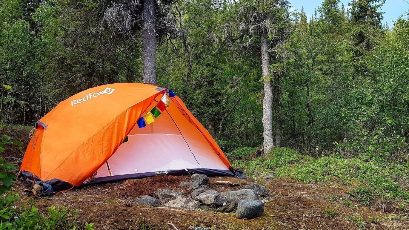
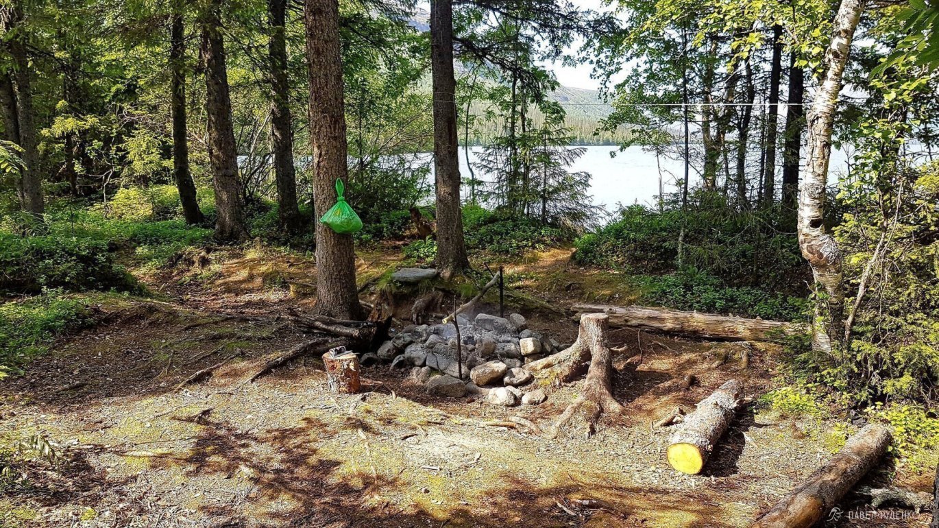
There are many places for a tent near the lake, some are equipped with logs and fireplaces. There's a beautiful view of the lake and the plateau on the opposite side, so I decided to take a rest day and set up camp around two in the afternoon. Lemmings are running around nearby.
Day 5
Whoever climbed into my tent, but such a nice meeting, I've never had. A bird flew under the awning and chirped good morning! How to make every morning so wonderful.
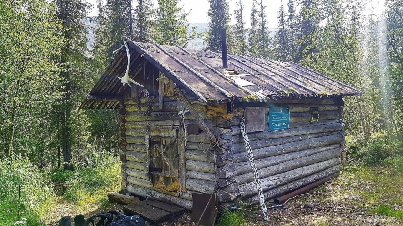
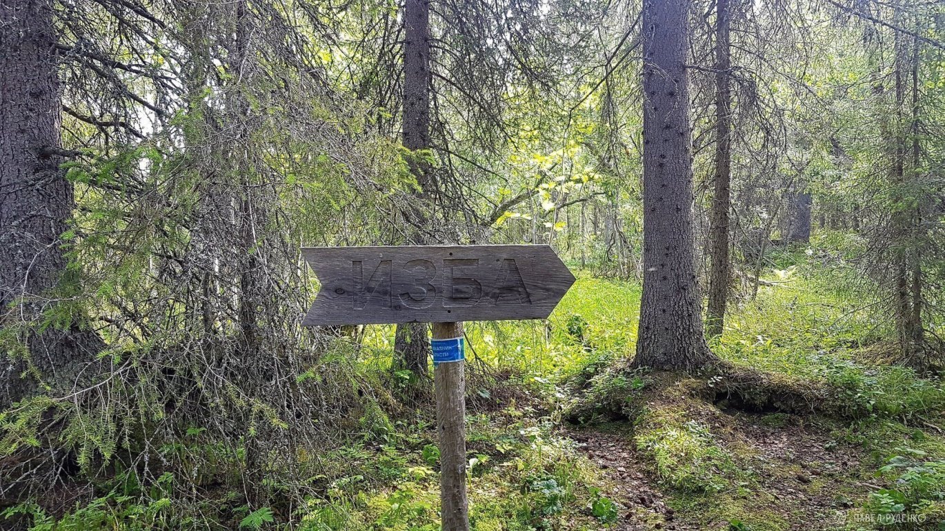
Morning fishing didn't lead to results, I smiled and got ready for the next journey. The trail around the lake is well-maintained, bridges made of logs with a handrail are built across most rivers. Across others, trees are felled. Marking is present approximately every 100-200 m., in less obvious places even more often. There's a sign to the lodge in Chivruay Gorge. Tragic events are associated with its creation. I recommend reading about them by searching for Chivruay Tragedy of 1973. The lodge has 4 sleeping places, very wide, so if desired, 8 people can fit. There's a stove, a table, food and gas left by tourists. I had lunch and thought what to do next, my knee still hurt a lot, and the gorge has a затяжной подъем of 10 km. To the east, there's a steep подъем right into the mountain, that's where I went.


The beginning of the trail to the ascent was quite difficult to find; use a small lake measuring 20 by 40 meters as a landmark. The first hour the trail rises steeply, then tundra terrain mixed with scree and a more gentle ascent begins. Oh... what a view from here. On the first shelf, there is a mysterious pile of black stones, about 4 meters high.\n<\/p>
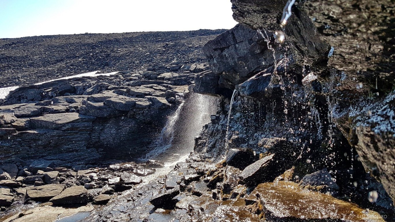
Another waterfall, a lost world of waterfalls, a northern world. Hiding from the wind among the rocks, I had a snack, lay down on my backpack to think. It dawned on me that the past remains in the past and there's no use regretting it, no matter what it was.\n<\/p>


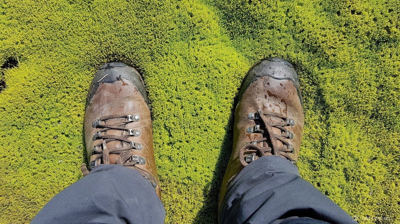
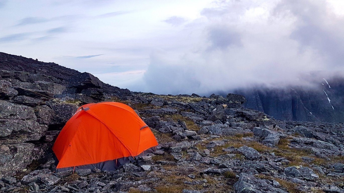
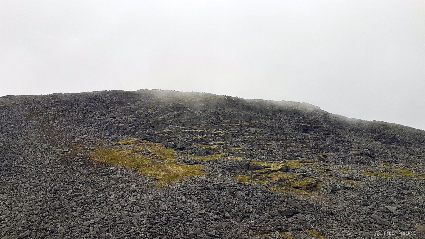
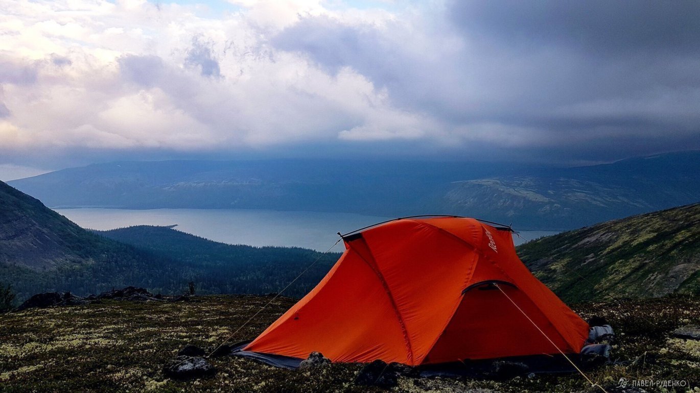
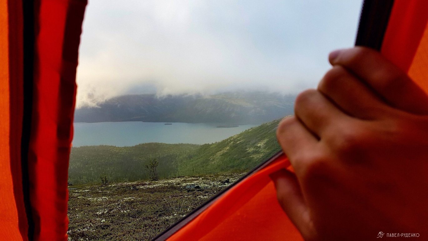
In this part of the plateau, scree is mixed with reindeer moss, making it more pleasant to walk than on bare rocks. It's better to move across the plateau ориентируясь на высоты топографической карты to maintain a consistent elevation rather than going up and down. By 11:00 PM, I reached Fersman Gorge, and before I could climb the rocks наверху, the weather turned bad. The wind picked up, the neighboring gorge was shrouded in clouds, and the forecast from a few days ago promised heavy rain with thunderstorms. Staying on the plateau in bad weather isn't a great prospect, but what can you do. I found a sheltered spot near the rocks, set up my tent, and hid my gear about 70 meters away. My cozy sleeping bag didn't welcome me until 1:00 AM.\n<\/p>


Day 6
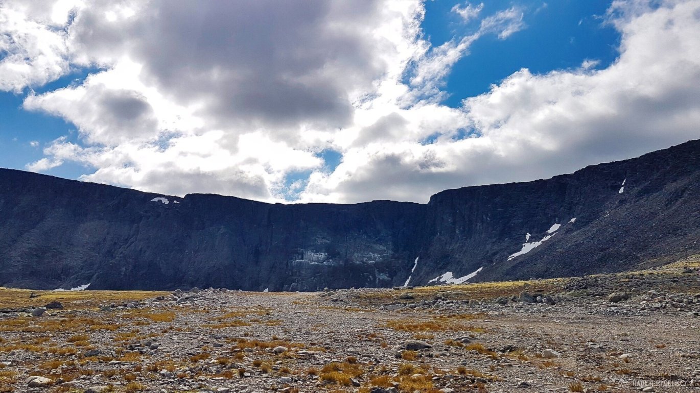
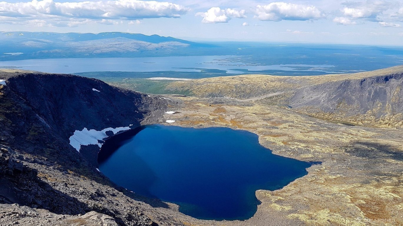
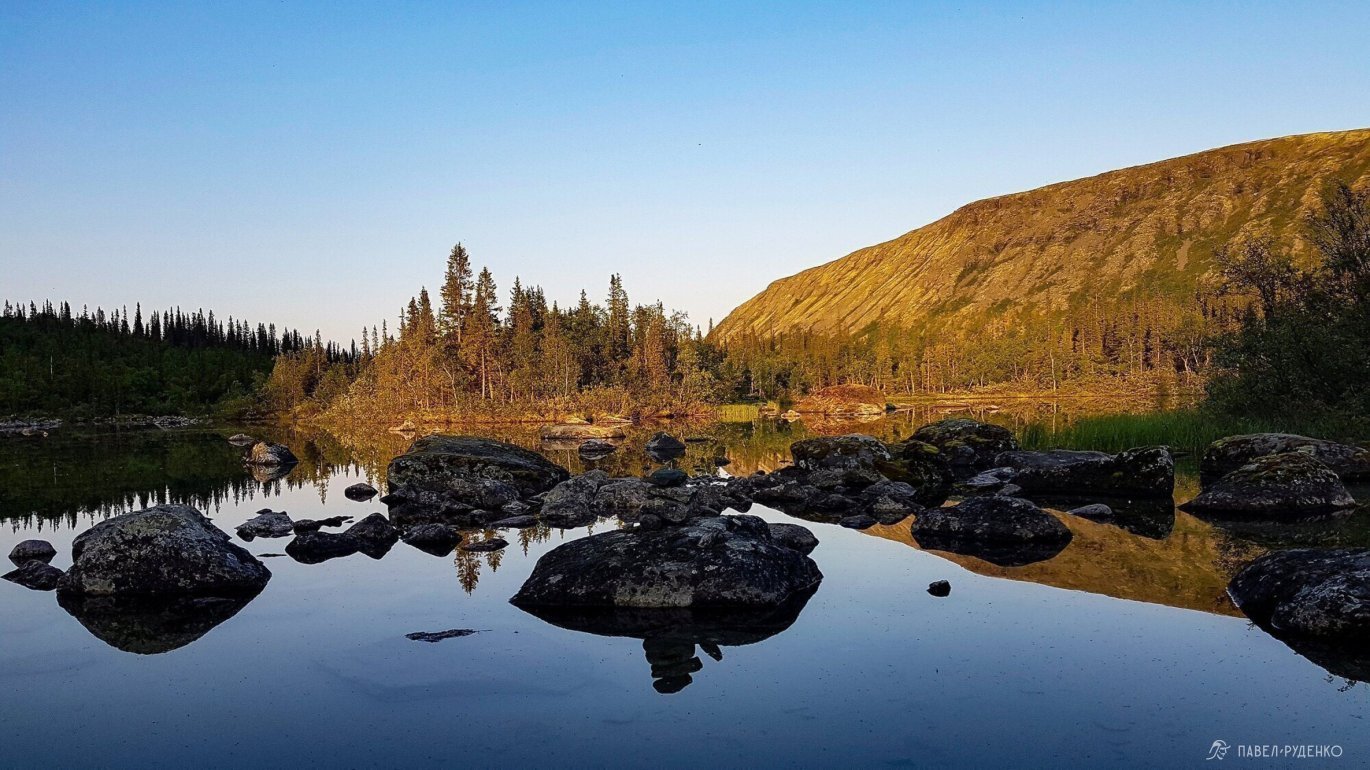
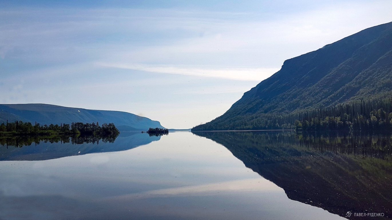
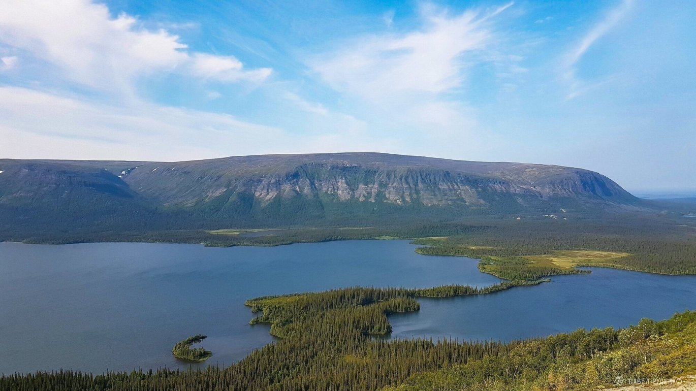
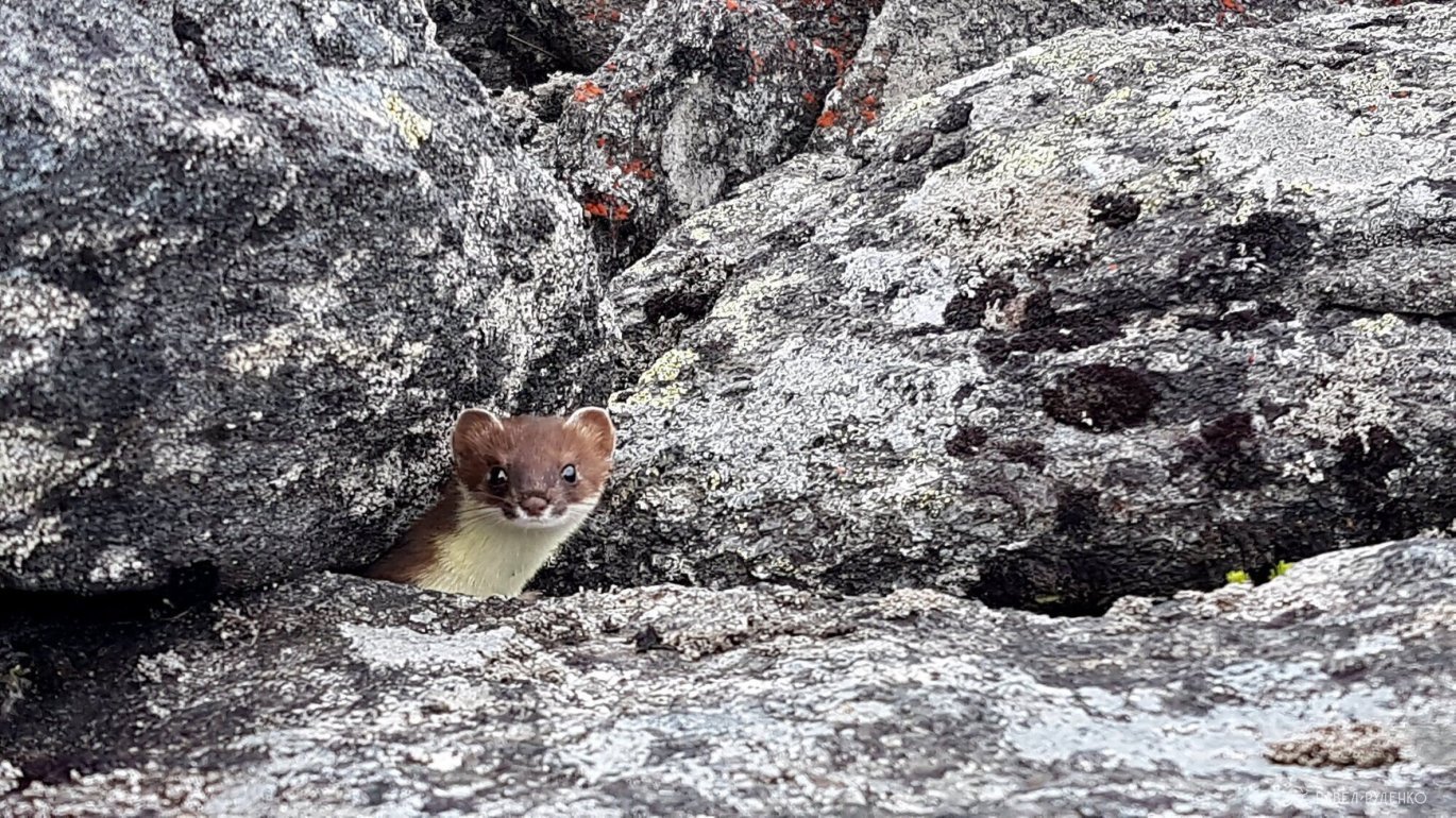
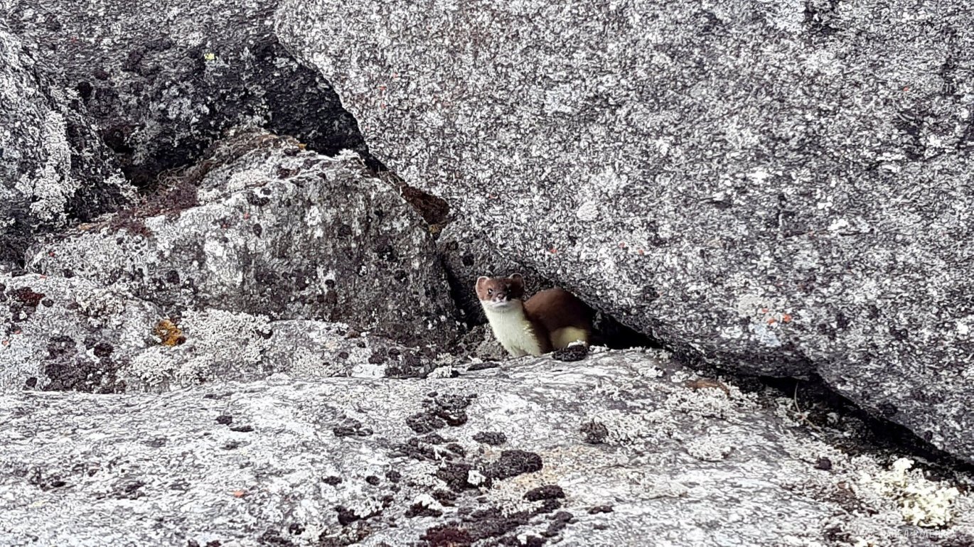
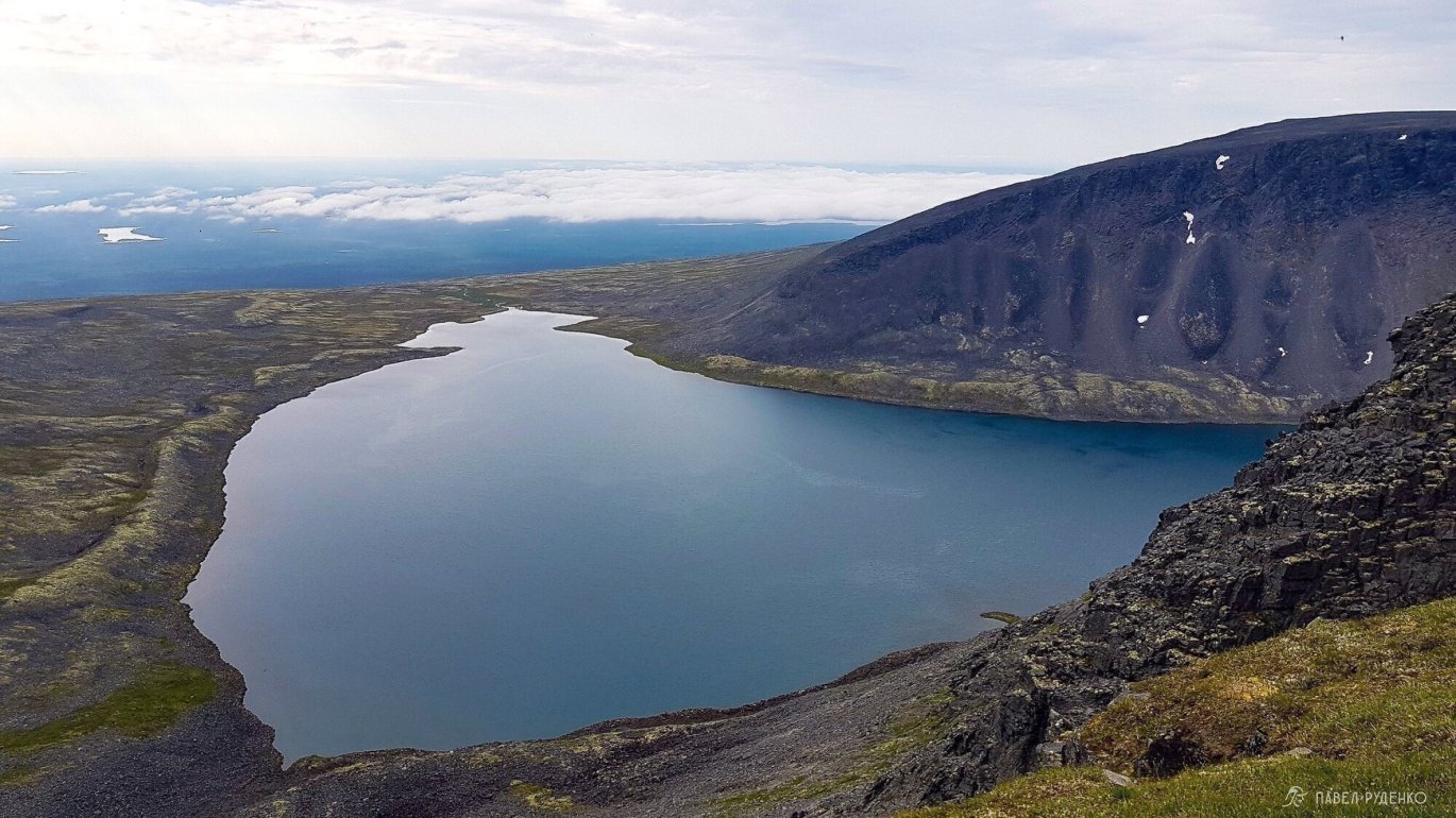
In the morning, I encountered a weasel, such a curious little creature. I overcame Fersman Gorge along large boulders and headed to Mount Engpor, really wanting to see Lake Rayavr. A huge crater, the lake is simply amazing, two eagles soaring over the expanses and their cries echo throughout the valley. It's better to descend from the east side, many people set up camp at the bottom for a couple of days.\n<\/p>
I continued on to Chivruay Pass and began descending into it. The weather turned bad again, clouds covered the gorge, and drizzle began. At the beginning of the gorge, the trail constantly disappears and doesn't match openstreet maps, forcing constant wandering, which is somewhat tiring.\n<\/p>


At the start of the forest edge, I met a group coming up, we exchanged information, the guys said they saw a bear and her cub half an hour ago. I didn't have any flares with me, so I took out a whistle and a hunter's signal. I set off, singing songs and whistling, especially in dense thickets.\n<\/p>
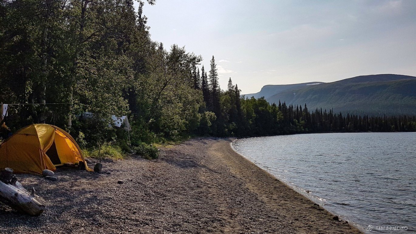
Since the bears could be moving towards the lake, I had to make noise for about 2 hours until I saw them 400 meters from the trail, closer to the cliff edges. I passed the cabin again and turned east at the lake. There are обзорные beaches here, I set up on one of them. I visited neighboring tents.\n<\/p>


Day 7
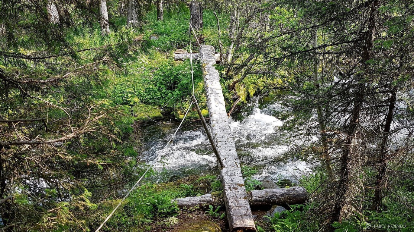
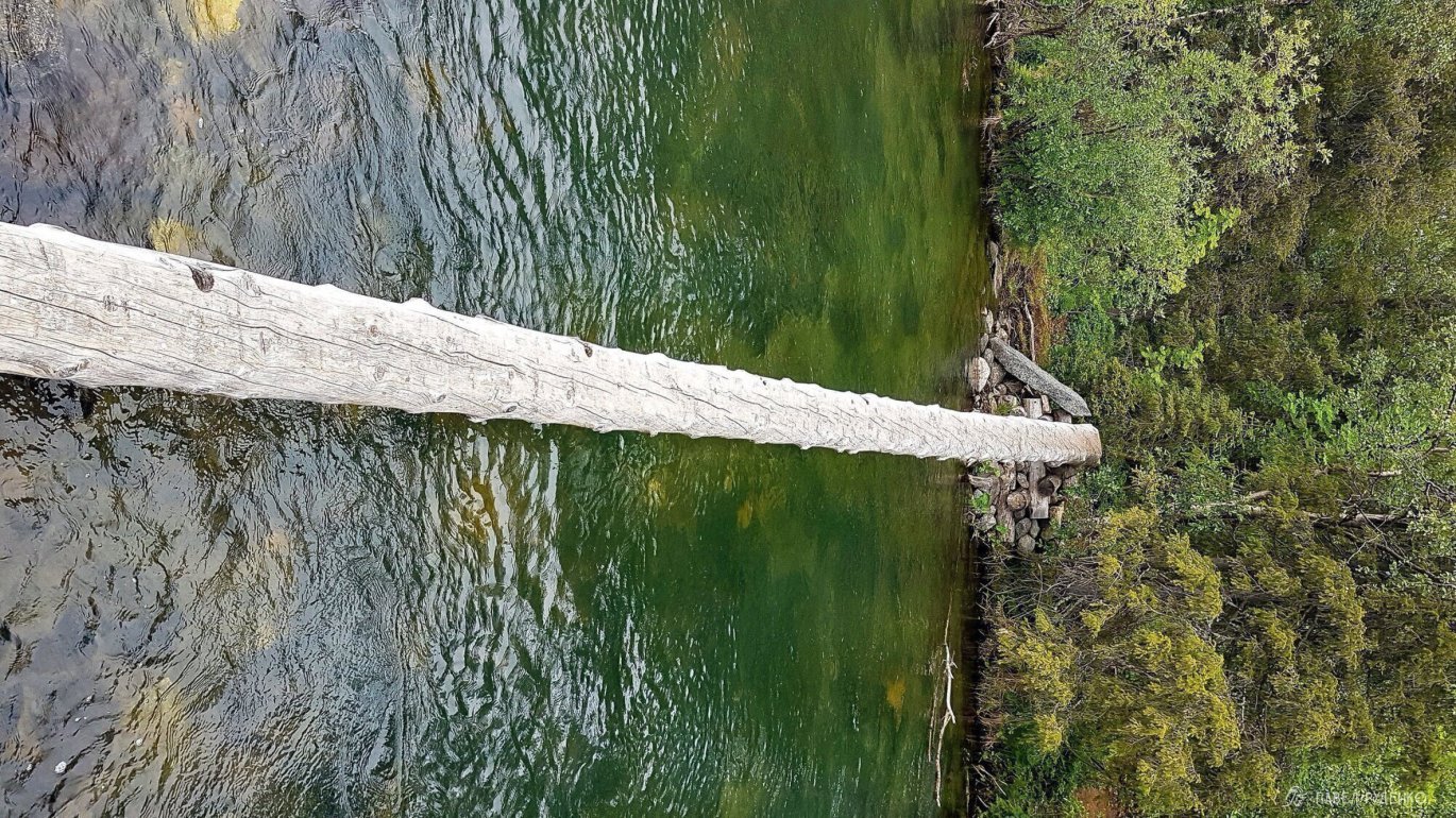
The ford consists of three parts. If you're going from south to north, the first part is knee-deep, in July the current isn't strong, it's passable without problems. The middle part is the simplest, about ankle-deep. The third part is across a log, the most difficult due to the log being long and vibrating when you walk. It's deep under you, and the strong current disrupts concentration on the log, you need to focus as much as possible.\n<\/p>


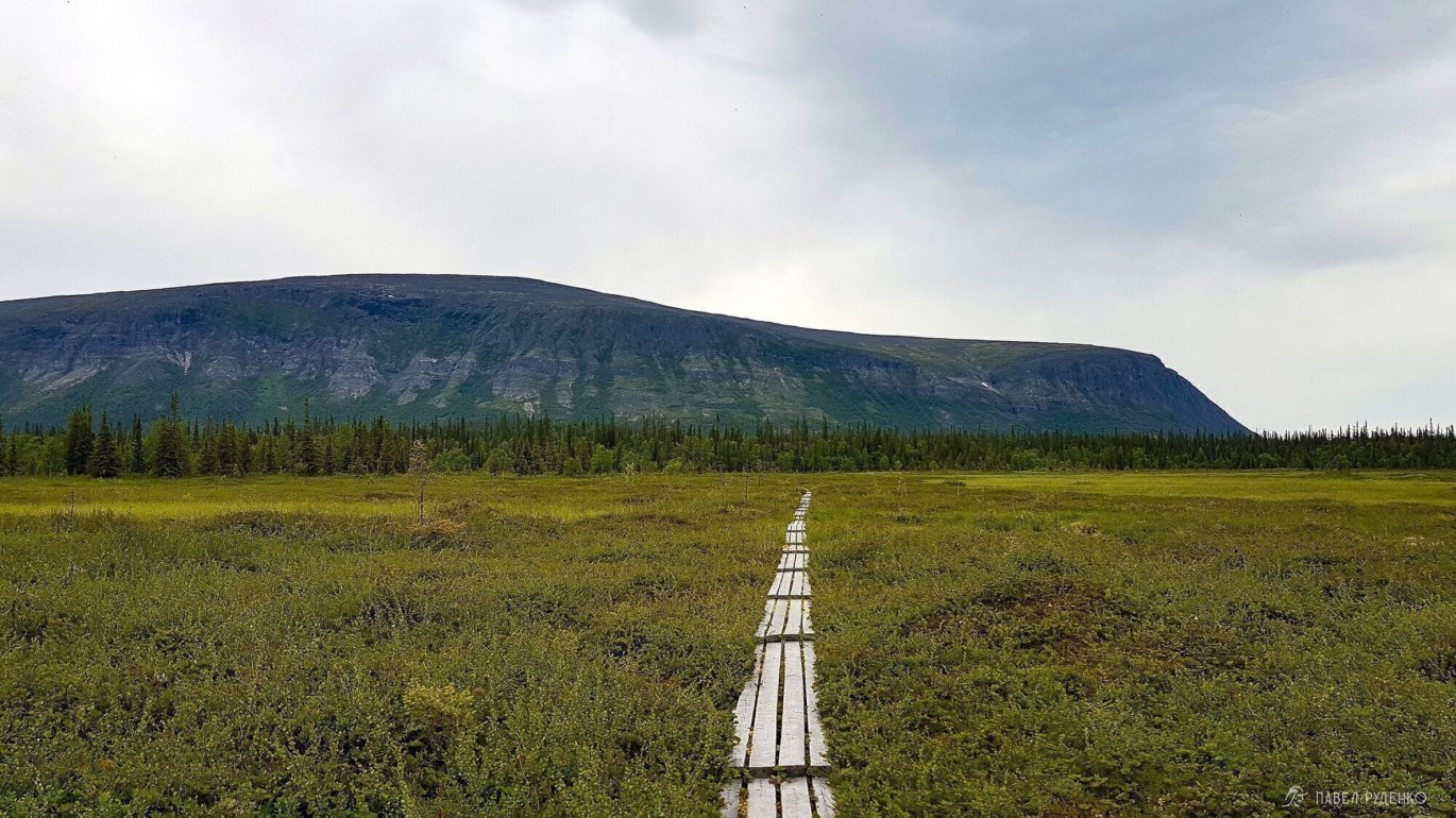
Then the trail begins with a wooden deck through the boggy area. The detour to the lake offers a cool panorama. The game warden wasn't home, so I continued along the trail along the lake. The trail along the northern part of the lake is easier, fewer перепадов, fewer thickets, and in some places, boards are laid in flooded areas. It goes quickly and easily.\n<\/p>


But I didn't want to go through the entire forest area up the Elmorayok River. It's raining, everything is wet, and then it starts again with a narrow and overgrown trail. I realized that the ideal is to alternate выходы на плато and descents to the lake, so you don't get tired of the forest and the scree doesn't get boring. The views change, there are more waterfalls along the way. So I decide to hike along the Kuklukhnyunai River to Kuyvchorr Pass. There's a road here, with a shallow ford, I jumped across the rocks.\n<\/p>
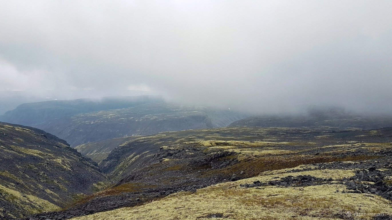
Before reaching the top, the weather started to deteriorate, even though I had plenty of energy and time allowed, I decide to stay slightly below the plateau.\n<\/p>

It rained all night, I go out onto the plateau, visibility is poor, I constantly check the GPS, but soon I find a readable track on the rocks and follow it. I met a ptarmigan.\n<\/p>
This part of the plateau is easy to walk, I quickly reached Mount Karnasutra 942 m. There's no road here, and a difficult descent begins in the fog over the rocks, it's slippery, there are no ориентиров. I check the GPS again.\n<\/p>
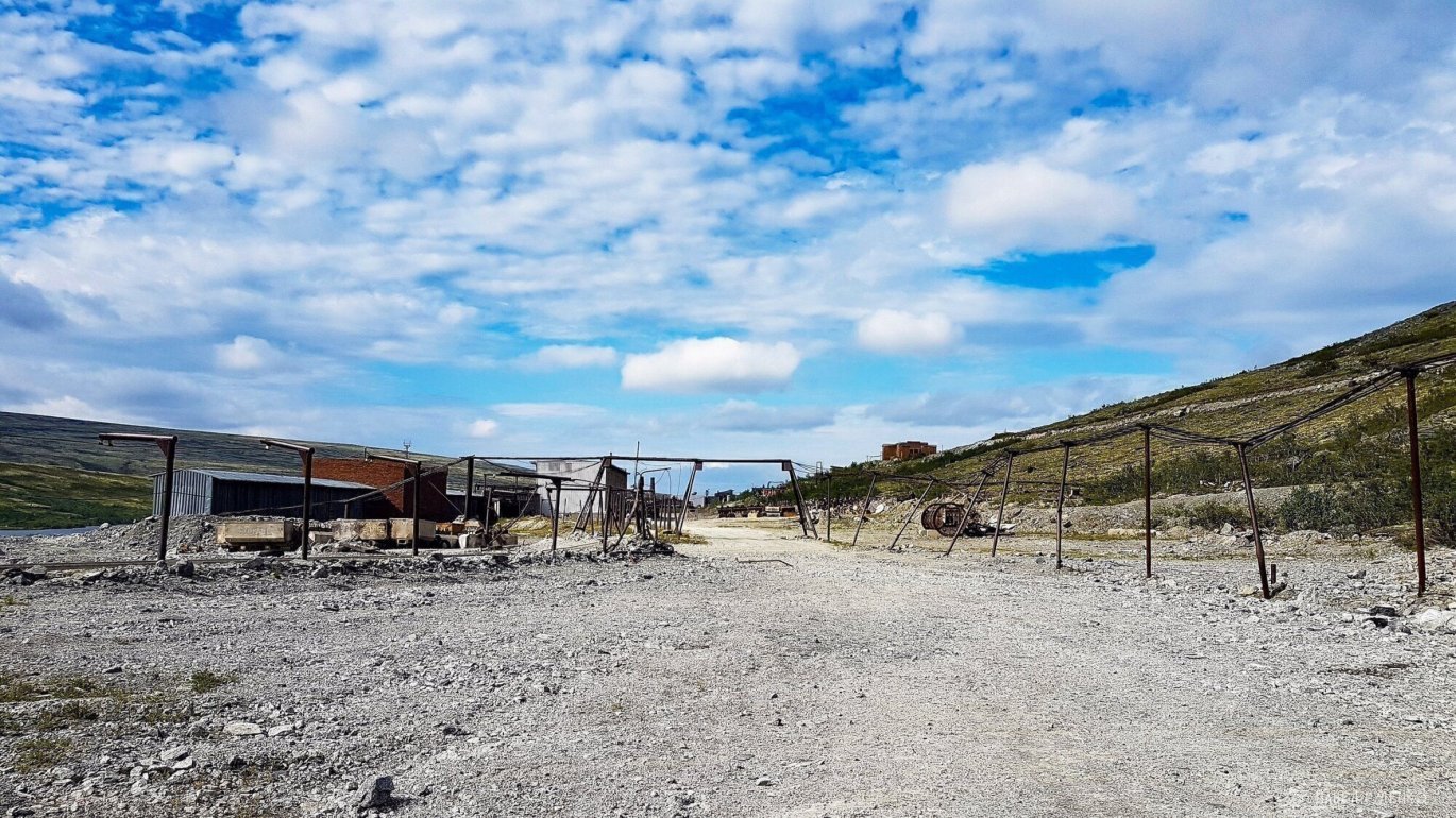
At Elmorayok Pass, there's a well-trodden trail, following it I reach the plant, wait for the bus, and get to the settlement. I didn't wait for the return bus and got to Olenegorsk on a couple of rides.\n<\/p>


If you're planning a winter hike in the Lovozero Tundras, watch the video lecture on planning a winter hike using our hike to Seydozero as an example.\n<\/p>
Return to part 1 about Seydozero:

