
HOW TO GET FROM THE AIRPORT
As of 01.04.2019, the lira exchange rate was 11 RUB.
At the exit of Antalya Airport, there are about 5 ATMs. Some dispense cash without commission, while others charge 1.5–2%, which is indicated before withdrawal. I withdrew cash with a Tinkoff debit card with no issues.
From the airport to the historic center of Antalya after 01:00 AM, the only option is a taxi; they run on the meter, and our ride came to around 800 RUB.
The most convenient way to travel is by tram; the first and last departures are at 7:00 and 0:00. From the airport (Havalimani station) to the city center (Meydan station) takes 26 min, and to the terminus (Fatih station) 60 min. From the city towards the airport starting from the terminus (Fatih station), the first and last trams depart at 6:10 and 22:40; make sure to take the tram marked (Havalimani, which is the airport station), otherwise you might board one bound for (Expo, which bypasses the airport and runs 3 stations further). The fare is 30 RUB; you need to buy a card and top up the balance—ticket desks can sometimes be a 3–4 minute walk from the stop, or right at the station. The turnstile system is located at the platform entrance, not inside the tram. The line runs across the entire city, past the historic center (Muratpasa, Ismetpasa, and Dogu Garaji stations) and the bus terminal (Otogar, where transport departs for the Lycian Way). Bus terminals across Turkey look great—large glass buildings housing numerous carriers. In Antalya, the bus terminal consists of 2 buildings; you need the smaller one. There are ATMs and a mini-market. Ask around for minibuses heading to Göynük or Geyikbayırı, depending on where your trek starts, and you will be directed to the right dolmuş. The fare is 70 RUB, travel time is just over an hour, and you can pay the driver directly.
If you stay overnight in the city, choose accommodation closer to a tram stop. The city has hostels and apartments with kitchens, with an average rate of 1,500 RUB per night for two.
ANTALYA
The historic center is located near the port of Antalya, between the Meydan and Muratpasa tram stops. Most hostels and apartments are found here. If you have time, it is well worth taking a couple of hours for a walk. It is best to look for lodging close to tram stops, as the tram offers a cheap and quick route to the airport or the bus terminal, where buses depart for the trailhead.
In Antalya, there is a Tavuk Dünyası restaurant in the Park AVM shopping center. The food is exceptionally delicious, hearty, and inexpensive! The large mall is located right next to the Dokuma tram stop. In addition, clothing prices there are 2–3 times lower than in Russia.
GAS, CAMPFIRE
There is plenty of deadwood in the region, and gathering branches takes very little time even at popular camp spots. I see no need for an axe or a saw. In autumn, the ground is covered with a carpet of dry pine needles that can ignite from a single spark (be vigilant about fire safety!). Thoroughly clear the ground around the fire ring, line it with stones, and always keep water at hand. Soil mixed with needle litter can smolder even under dead coals and ignite long after you depart. Protect nature!
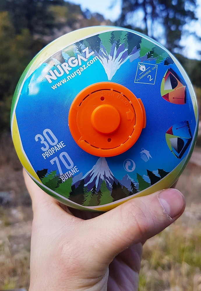
Screw-thread gas canisters are sold in Antalya, Fethiye, and Kumluca. They can occasionally be out of stock as trekking groups buy them up in large quantities. Call ahead or check online before heading to the store.
Stores I checked personally in Antalya:
Decathlon https://www.decathlon.com.tr/tr/magaza addresses:
1. Erasta Antalya, Dumlupınar Bulvarı No. 49 Kepez / Antalya 07090 Kepez, Phone: +90 242 502 07 32, opening hours: 10:00 — 22:00.
2. Yeşilova Mahallesi Serik Caddesi No. 8 Muratpaşa 07200 Antalya, Phone: +90 242 321 20 82, opening hours: 10:00 — 22:00.
Taxi drivers also sell gas at: Turkey, Antalya, Muratpaşa, Deniz, 131. Sok., 2.
Not verified personally — Tekzen https://www.tekzen.com.tr/. Stores in Antalya, Kumluca, and Fethiye.
Some gas stations marked with a blue sign can refill push-and-twist (nozzle-type) canisters.
TENT CAMPING
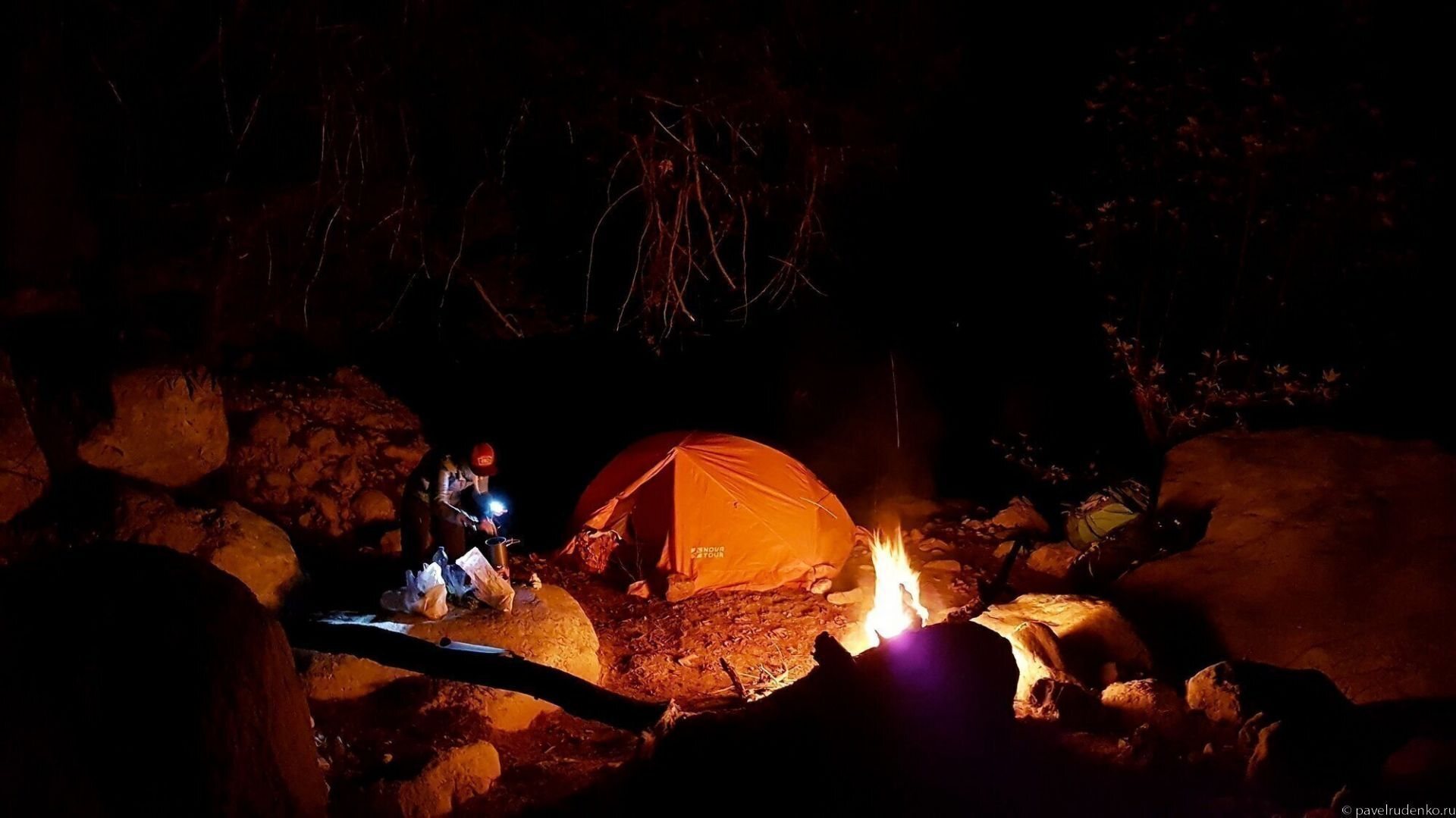
On the central Demre — Finike section, overnight accommodation is available exclusively in a tent! It spans 40 km with substantial elevation changes, making it impossible to reach a guesthouse in a single day. If you are trekking without a tent, bypass this section using local transport.
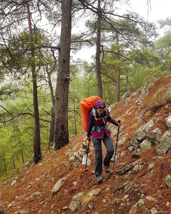
Pitch locations in the eastern section are scarce: the terrain is rugged, steep, and strewn with protruding rocks—about two per square meter, resembling a mystical Turkish Gandalf forest. Pitching a tent wherever you like is simply not possible; navigate using the campsites marked on Maps.me: these are flat clearings, typically fitting 1–5 tents, usually just a couple of meters off the trail.
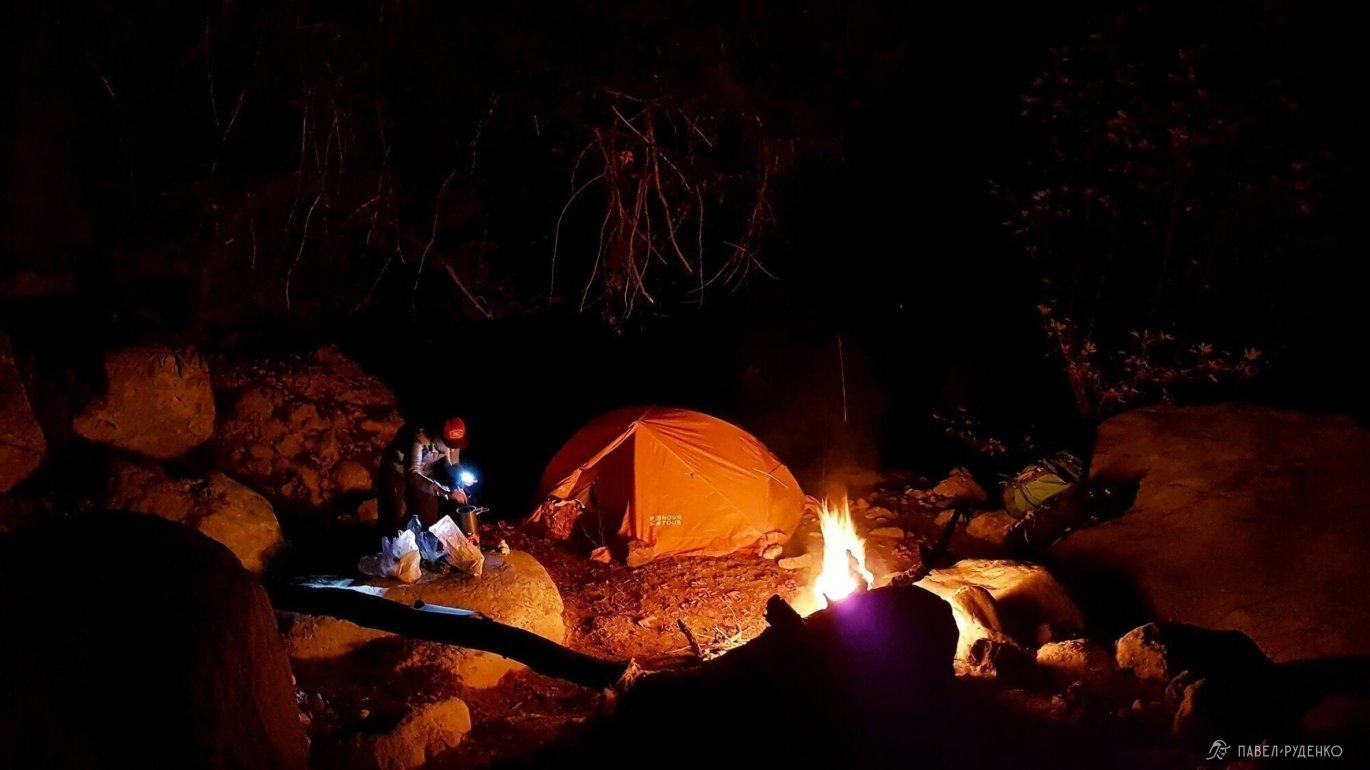
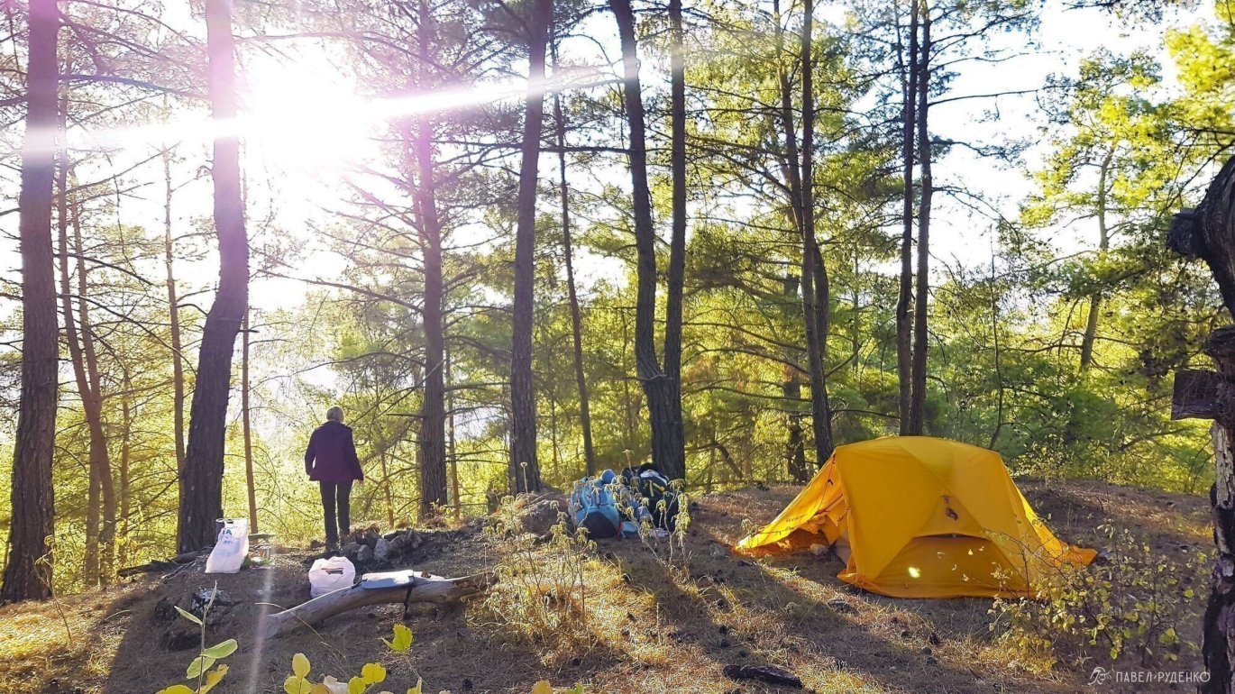
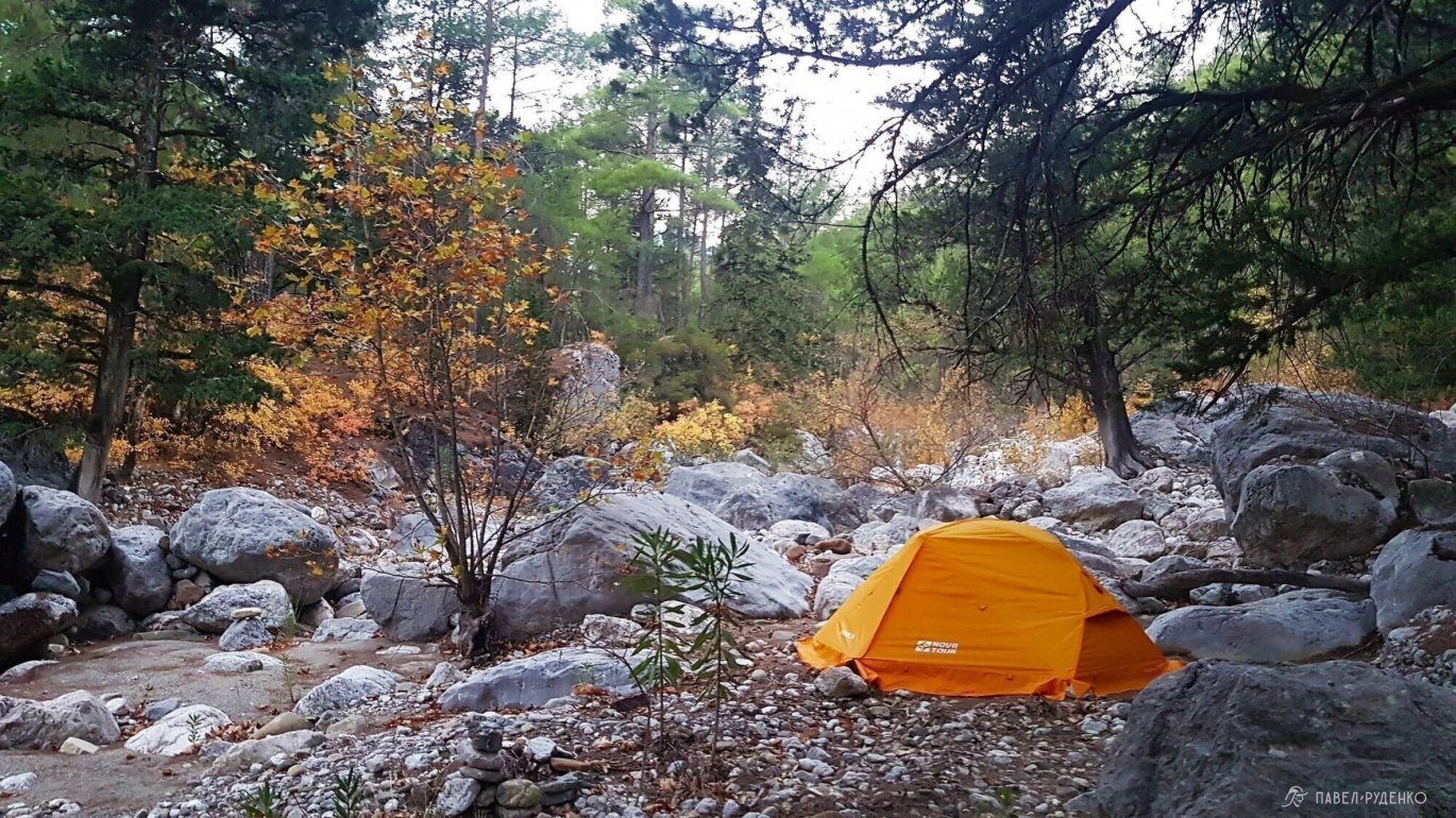
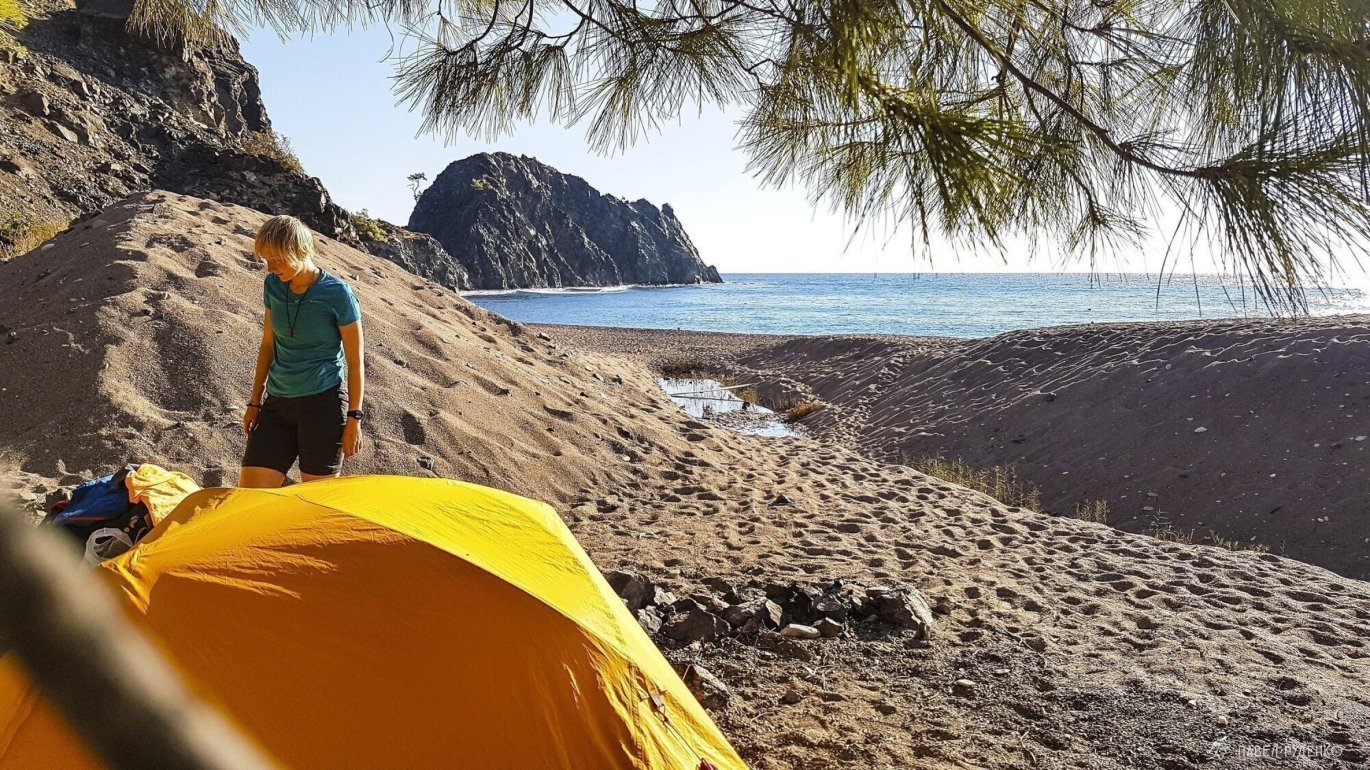
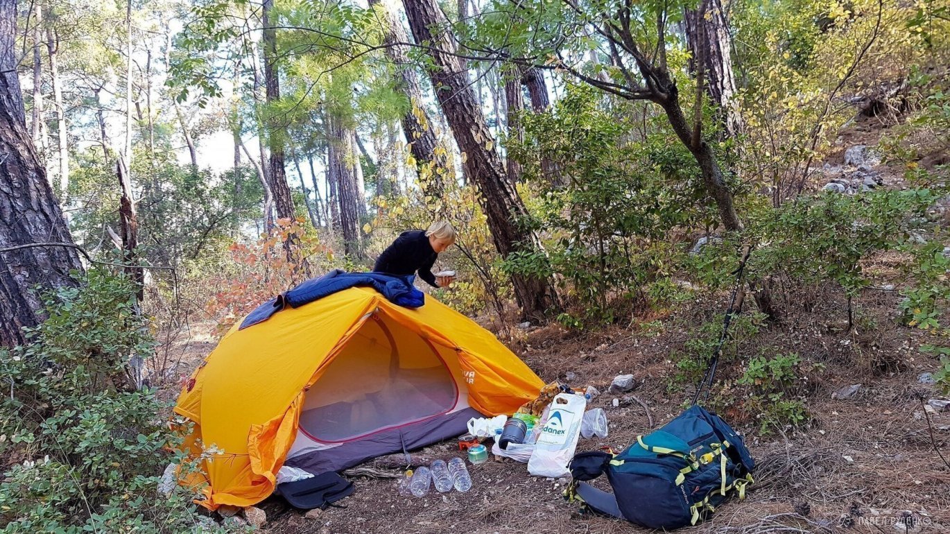
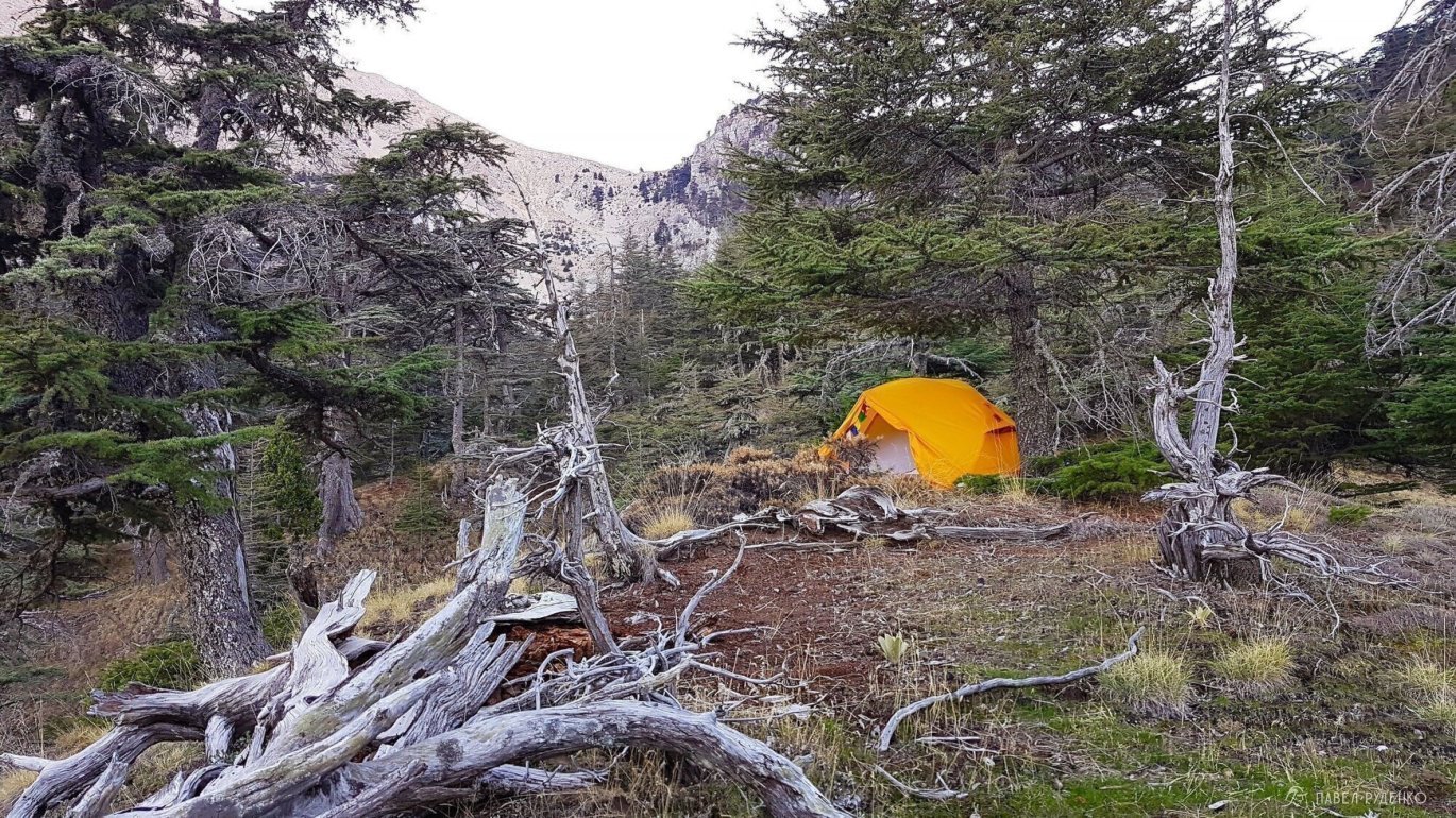
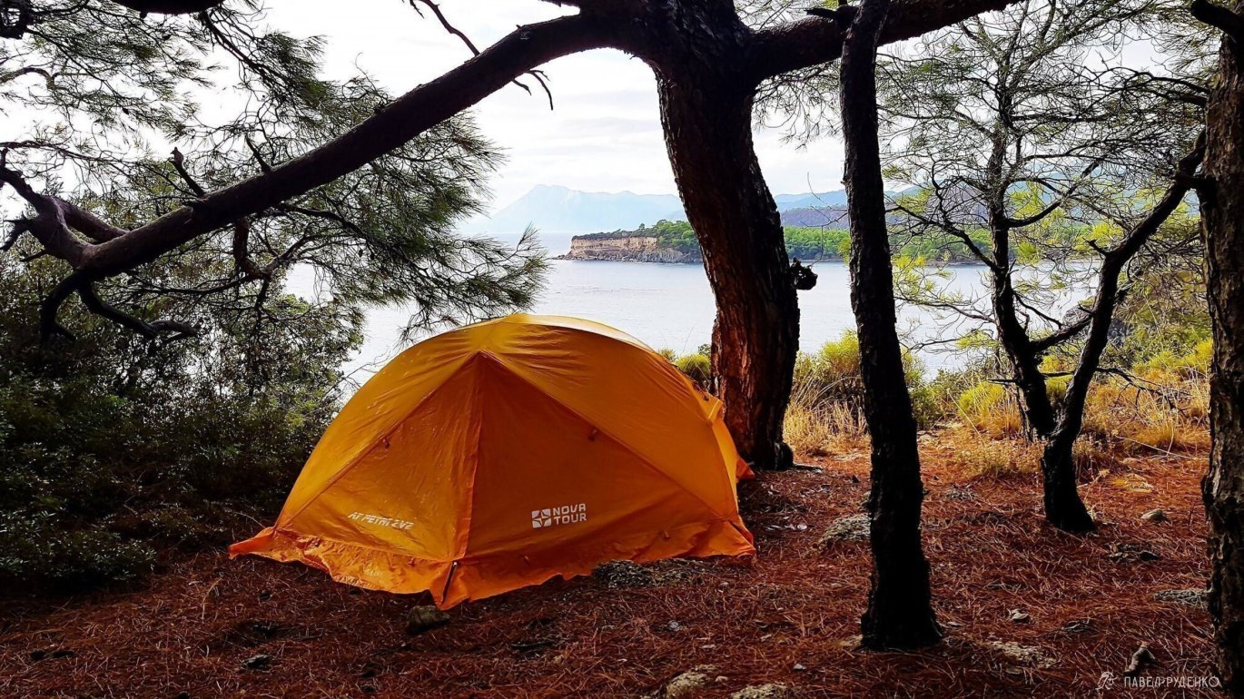
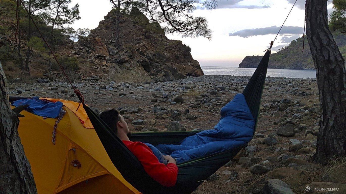
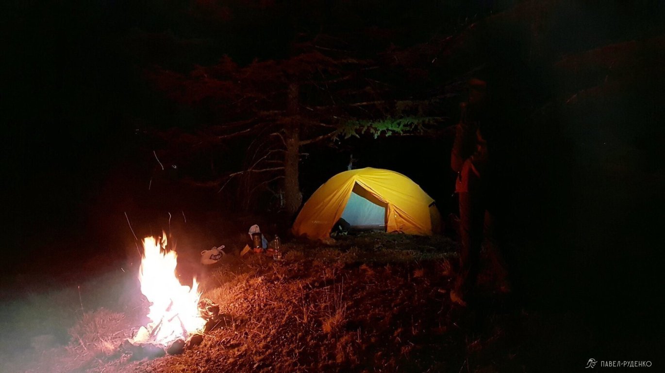
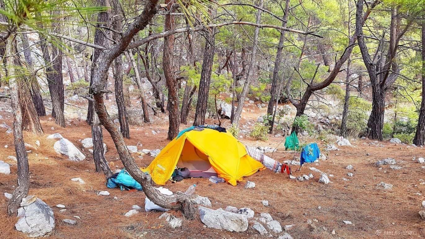
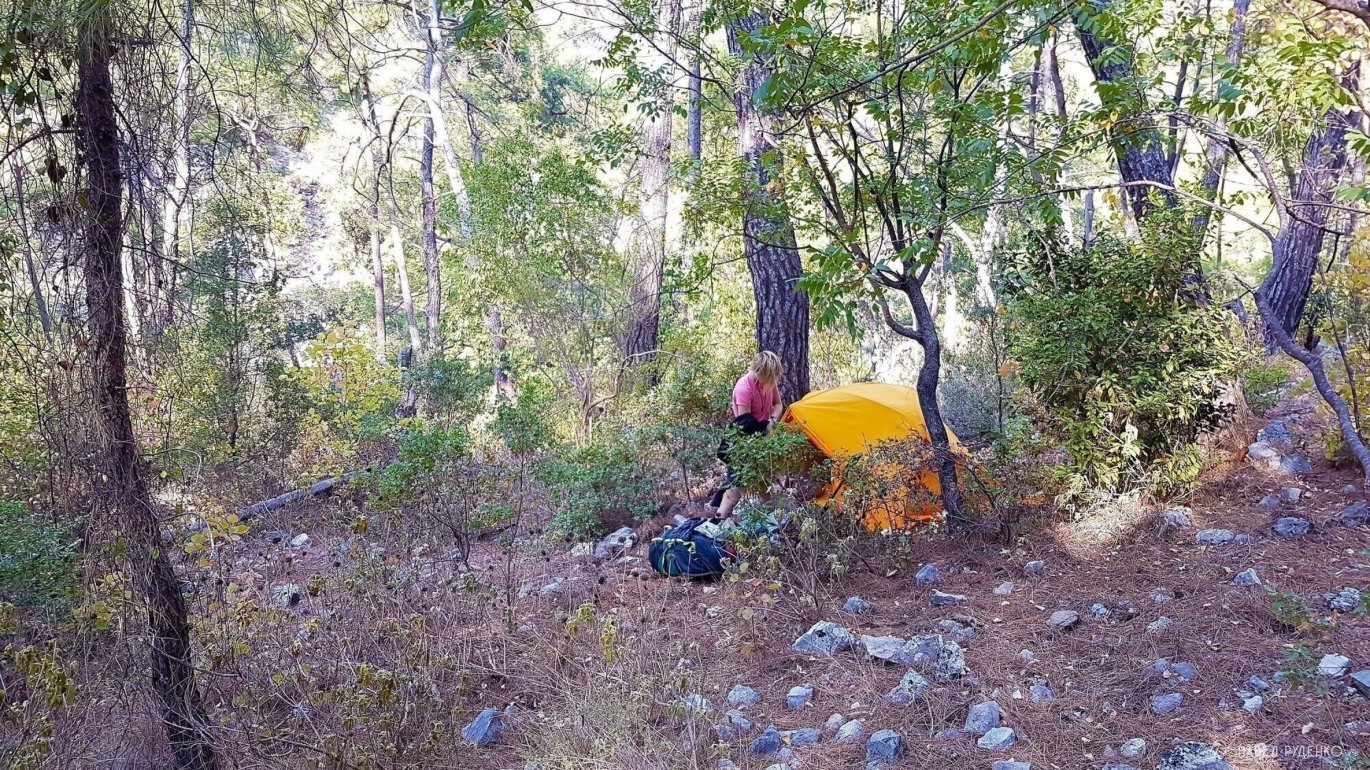
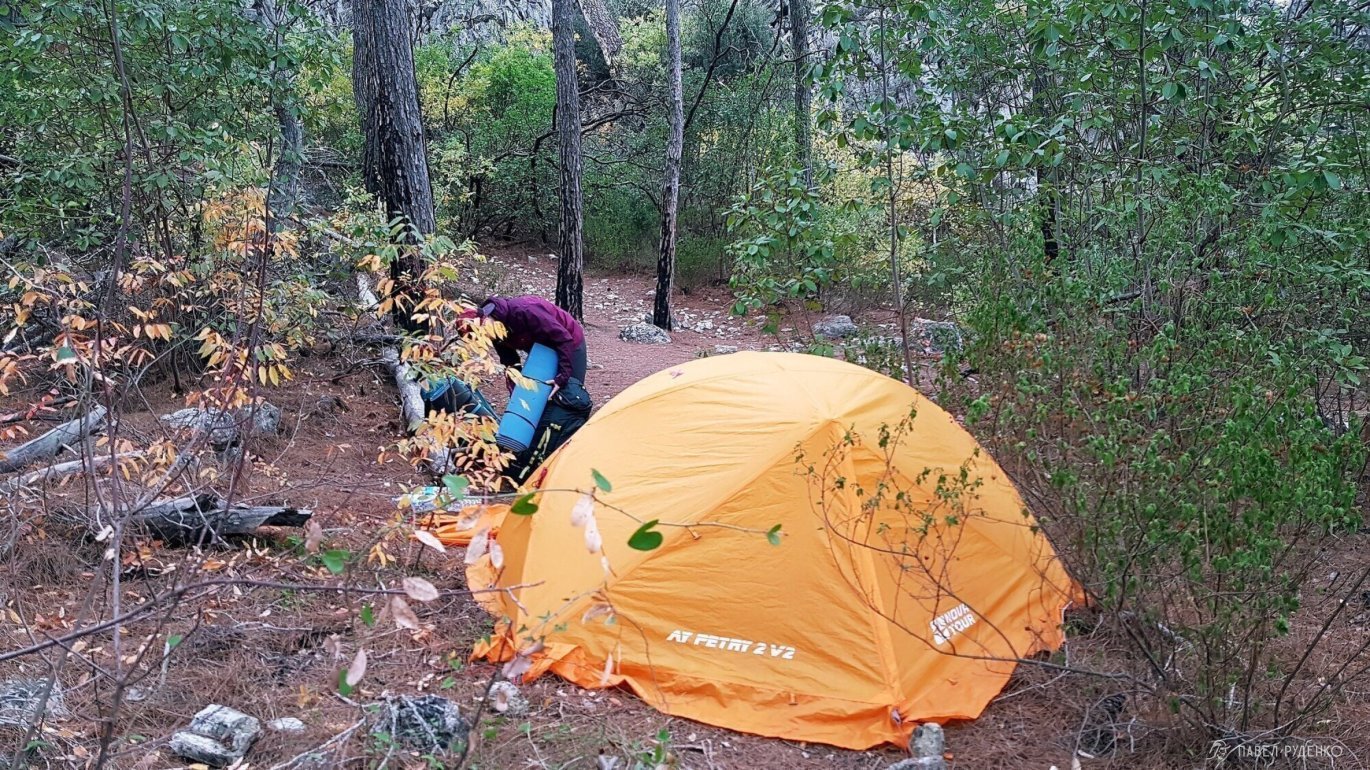
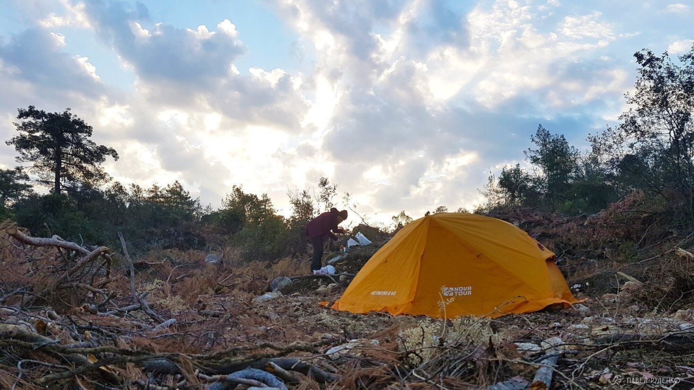
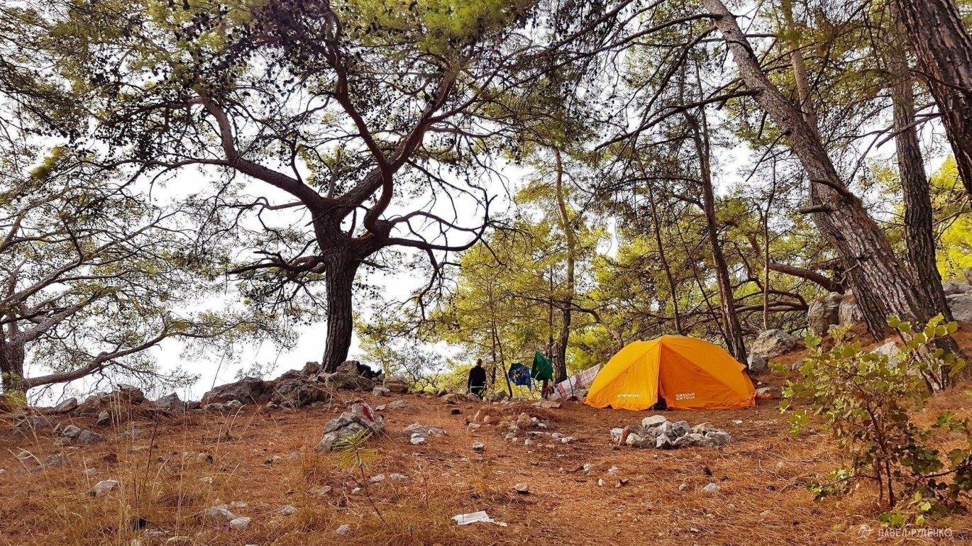
Occasionally, I managed to find spots farther away from the trail. A couple of times, I prepared new pitches by removing rocks to clear adequate ground. In November, trail traffic is light: two small groups and a solo trekker were heading in our direction, and we crossed paths rarely. A similar number traveled the opposite way. During the peak season, finding space at some campsites can be challenging.
Friends, I have added new campsites to Maps.me along with other helpful details. I encourage everyone to contribute to our shared community and share useful updates! Let us develop outdoor travel together so there is more accurate info available and fewer unforeseen issues on the trail.
Camping is strictly forbidden on certain beaches to protect sea turtle nesting grounds. I only encountered official signage in Çıralı, where locals may ask you to leave the beach, though you can still set up camp at its northern end.
Booking.com does not work within Turkey due to local hotel industry regulations, so make your bookings before departure or use TripAdvisor.com and Hostels.com.
When camping at the foot of Mount Babadağ (around Kozağaç and Kirme in the western section), powerful winds can sweep in at night and persist until early morning. Set up camp well away from cliff faces and secure your tent thoroughly.
MAPS
You can examine the trail track on https://hiking.waymarkedtrails.org. Click the hiker icon in the top right corner and search for "Lycian Way". The platform also hosts a huge collection of routes worldwide. The most detailed mapping is available on https://www.openstreetmap.org, where you will see that this is not just a single continuous track, but a network of alternative branches. With a little planning, you can design an itinerary tailored to any goals and preferences.
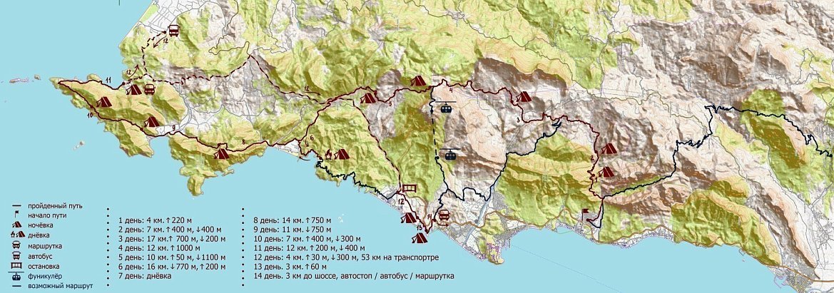
On treks, I traditionally use the offline Maps.me app. In my backpack, I always carry a Garmin GPS navigator loaded with OpenStreetMap data. If you are trekking solo, having redundant GPS navigation is a must. If you hike with a partner or group, a few smartphones with offline maps and a power bank for the whole trip are often sufficient on marked routes.
View and download the GPX or KML track for the Lycian Way here:
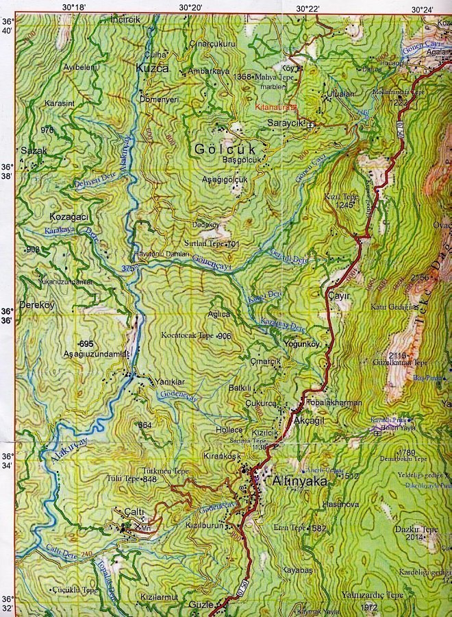
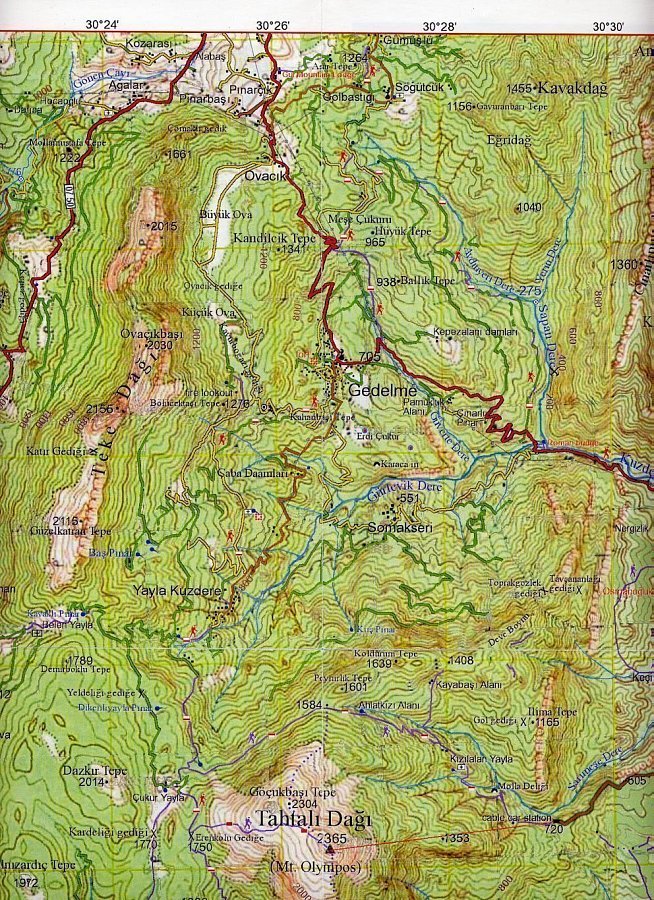
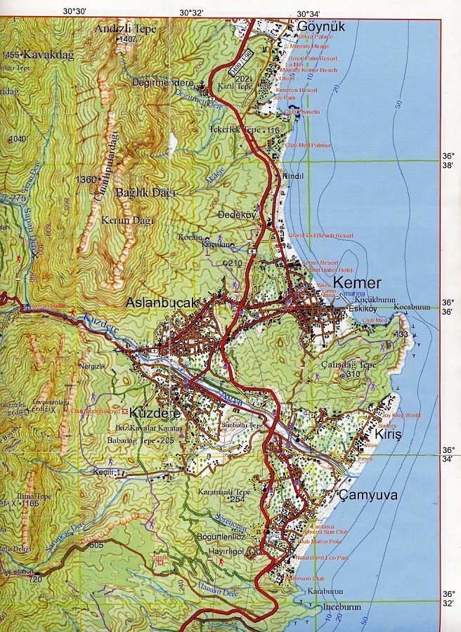
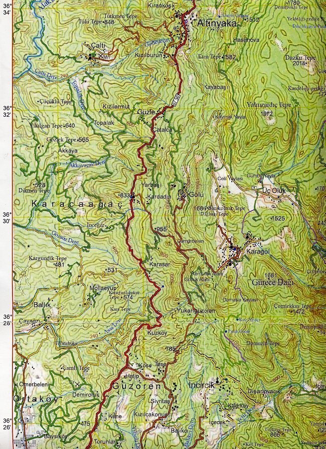
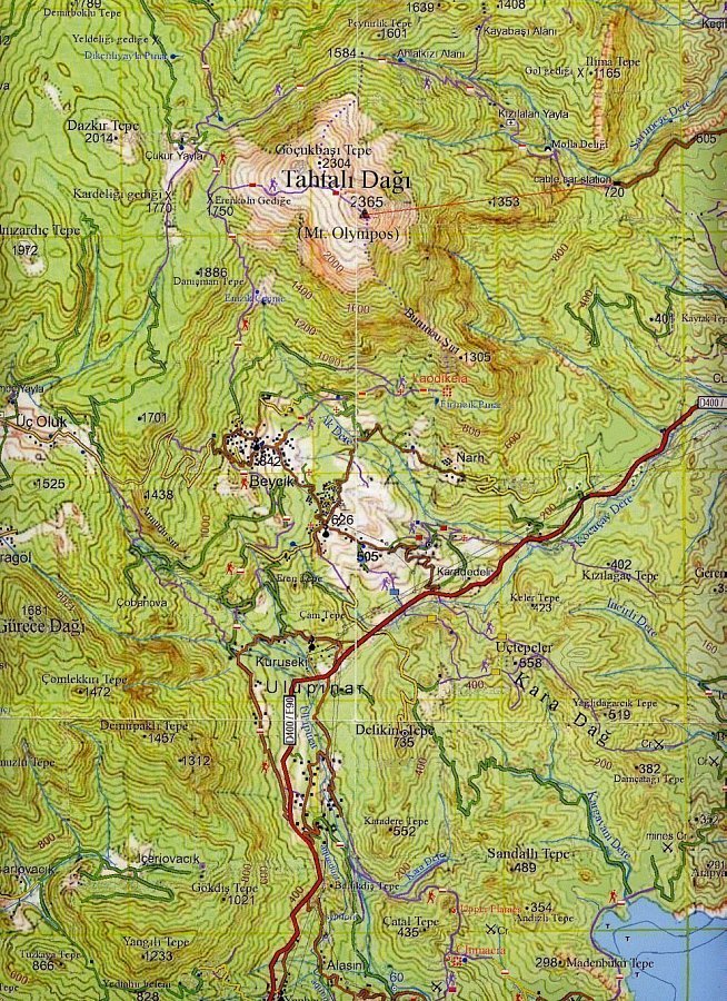
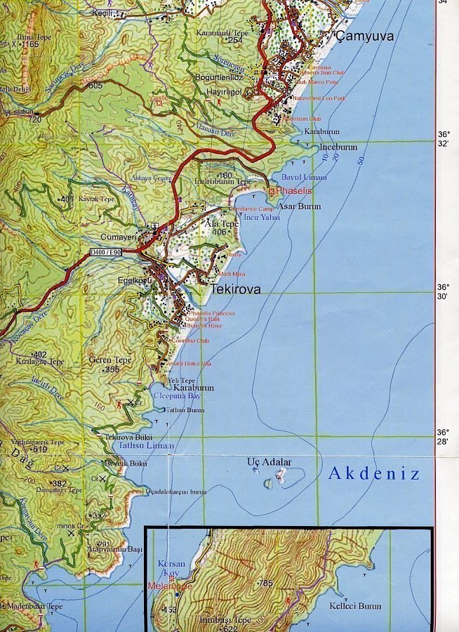
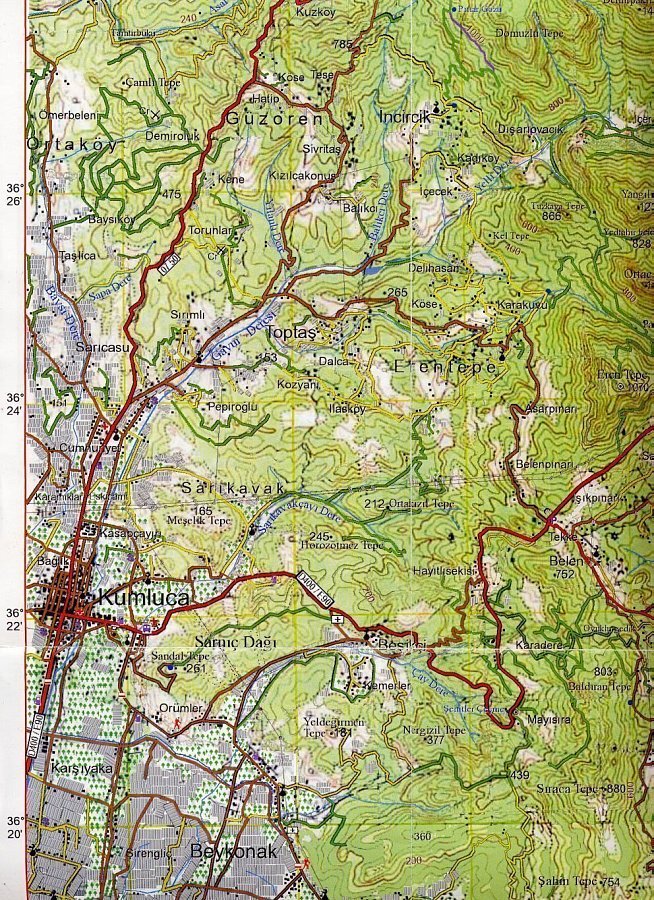
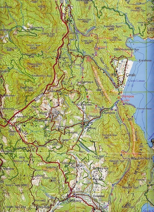
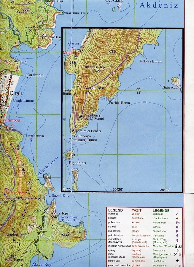
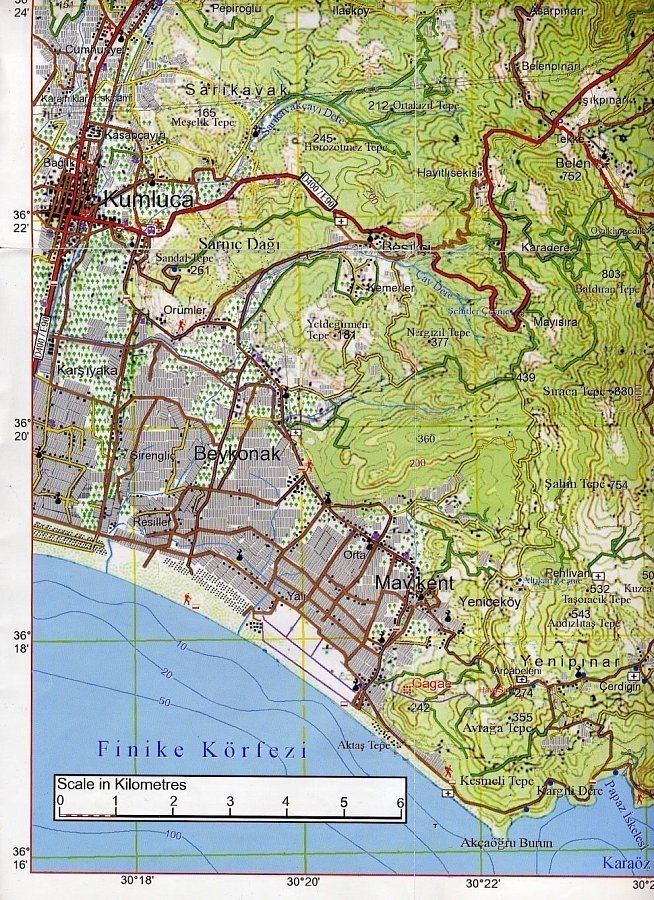
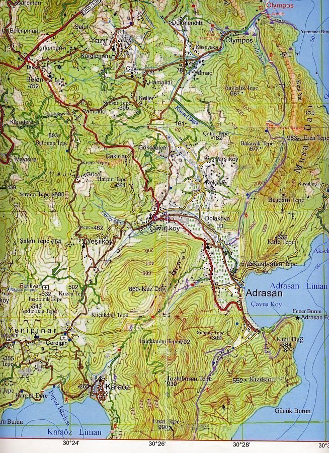
For Garmin GPS devices, OpenStreetMap maps can be downloaded from http://garmin.gis-lab.info/ in the "Other countries -> Turkey" section.
For Apple and Android, offline maps are available via Maps.me. Don't forget to download the required region for the trek.
Red-and-white trail markers are placed every 100 meters. In some sections they may be less frequent; if you haven't seen any markers for a while, it's best to backtrack to the previous one: you most likely missed a subtle turn. After landslides or along difficult sections, stone cairns are set up to help with navigation.
In winter and spring, the trail markers are buried under snow—rely strictly on your GPS navigator.
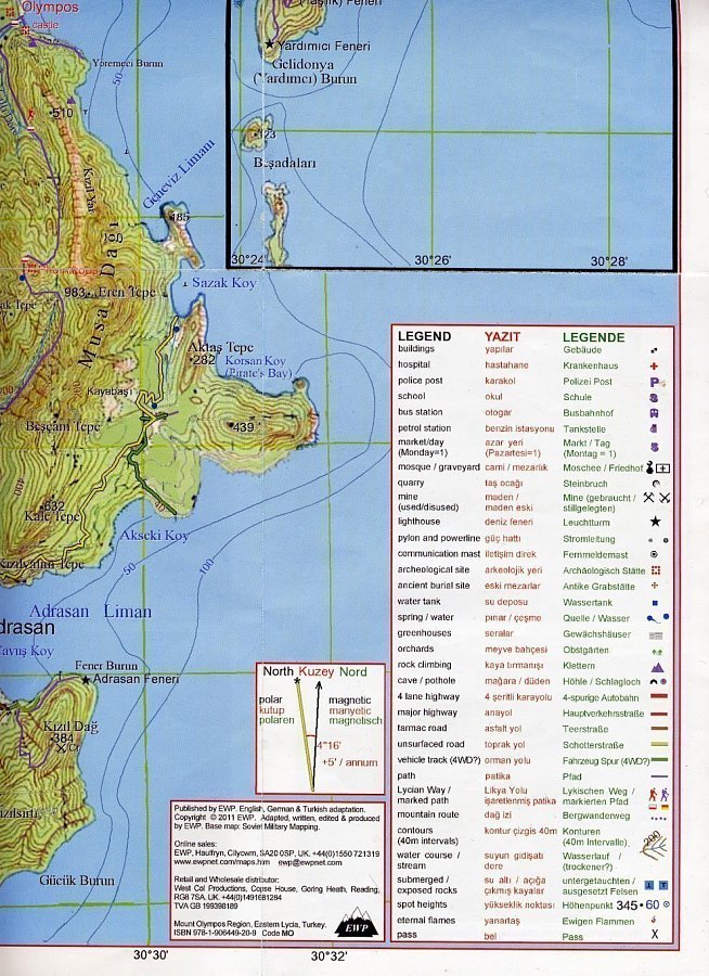
On the www.trekkinginturkey.com website, you can order official guidebooks with trail details or paper maps (1:50,000 and 1:70,000); delivery takes up to 2 weeks. You can also purchase them upon arrival at: Elmalı Mh. 25. Sk No:5/A Muratpaşa Antalya. Phone: 0242-244-13-29, opening hours: Mon–Sat 08:30–20:00, Sun 10:00–20:00. Editions in English.
Check out my Instagram:
Continued in the next parts:



Comments (0)