

Svaneti Routes
To Ushba Glacier
- A day hike from Mazeri village to Ushba Glacier, with an optional tent overnight.
- Elevation gain: 950 m.
- Highest point: 2,450 m.
- Distance: 10 km from Mazeri village to Ushba Glacier.

In Mazeri, you must obtain a border zone permit, which takes about 5 minutes at the border guard station on the main street. I struck up a conversation with the border guards; they were very friendly, and we shared a laugh. In the end, they offered me a ride in their police car closer to the trailhead. Once we arrived, I decided to camp there for the night to get an early start in the morning.
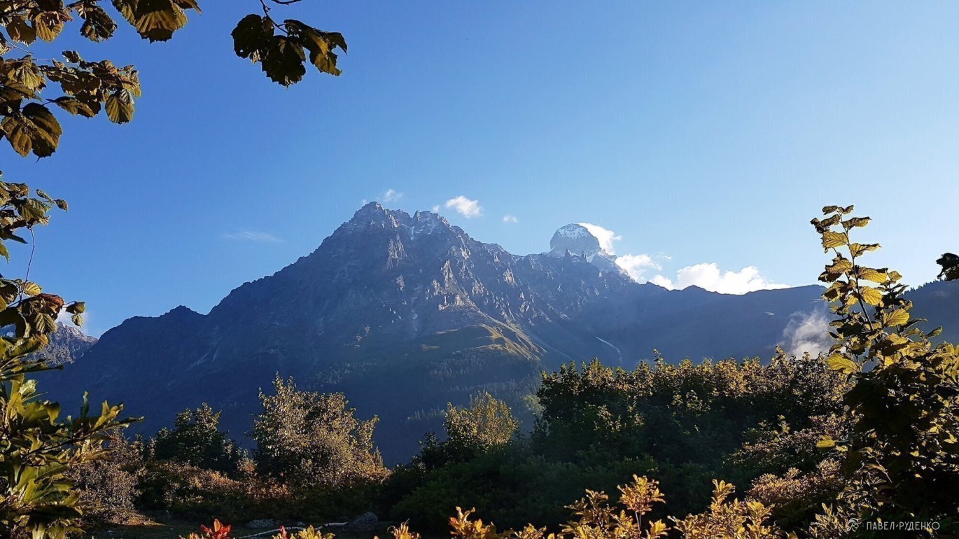
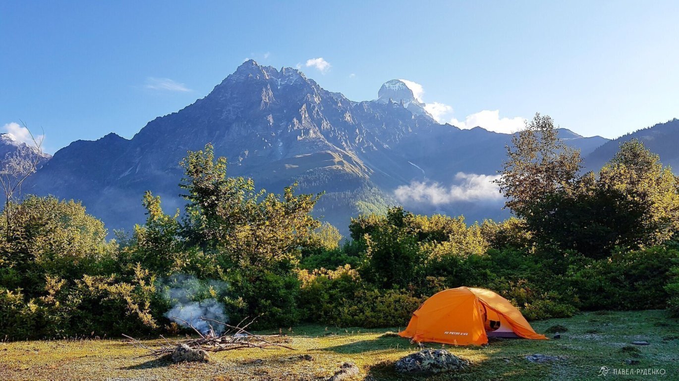

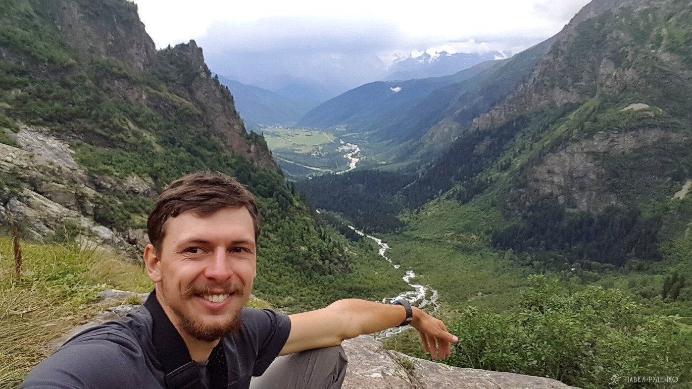
The trail is well-trodden and runs mostly through the forest. Beyond the bridge is the border post where they check permits. You can also refill your drinking water there.

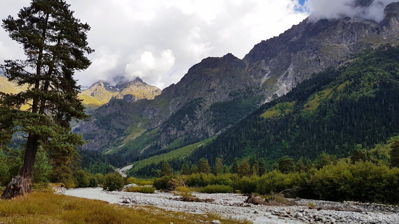
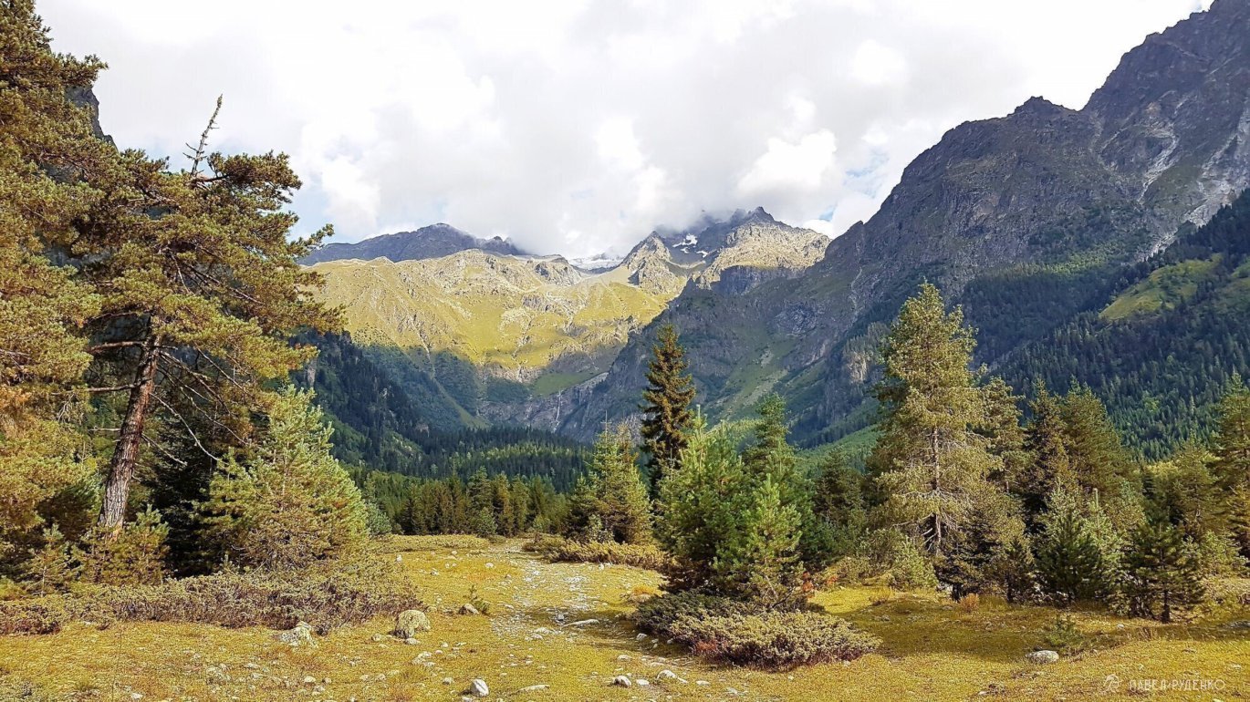
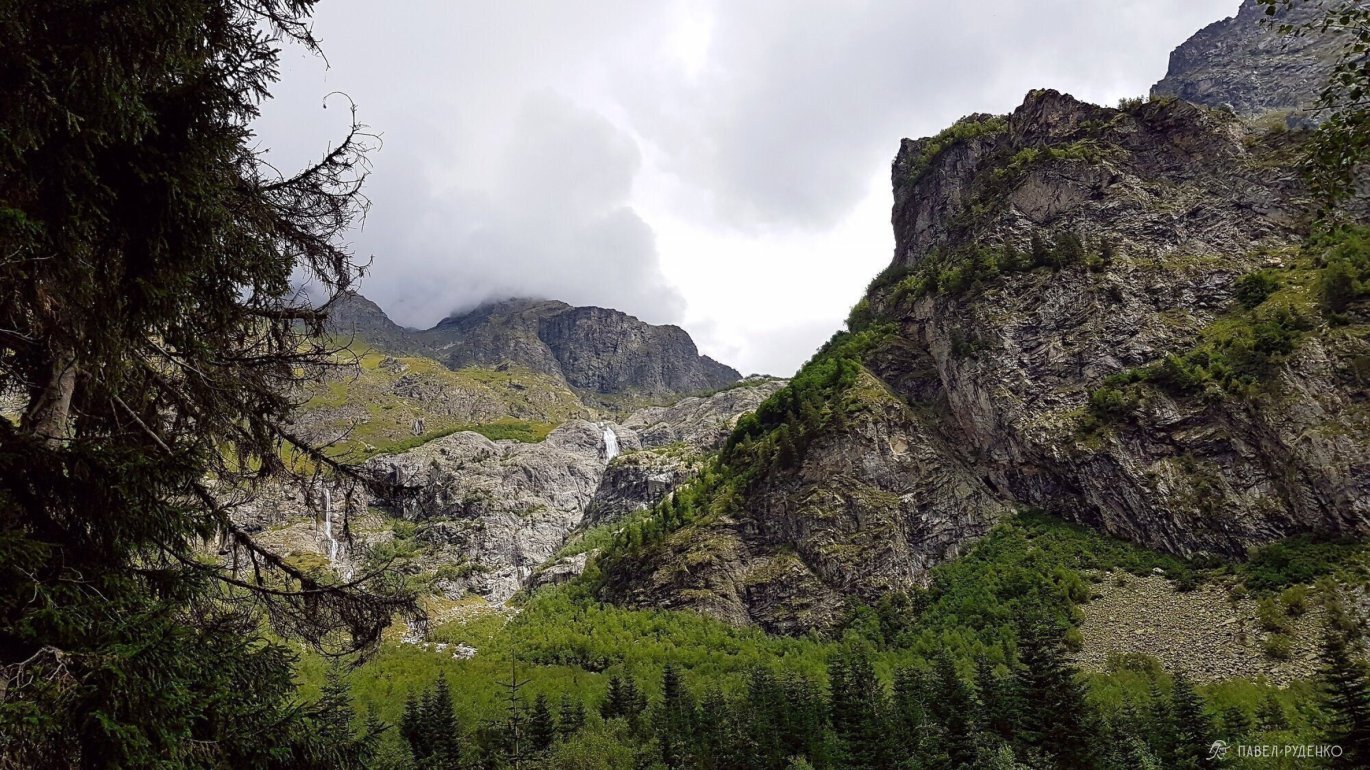
Climbing higher reveals a breathtaking view of the waterfalls—truly a mind-blowing sight. An unfamiliar curiosity crept in: what lies up there, above the waterfall?
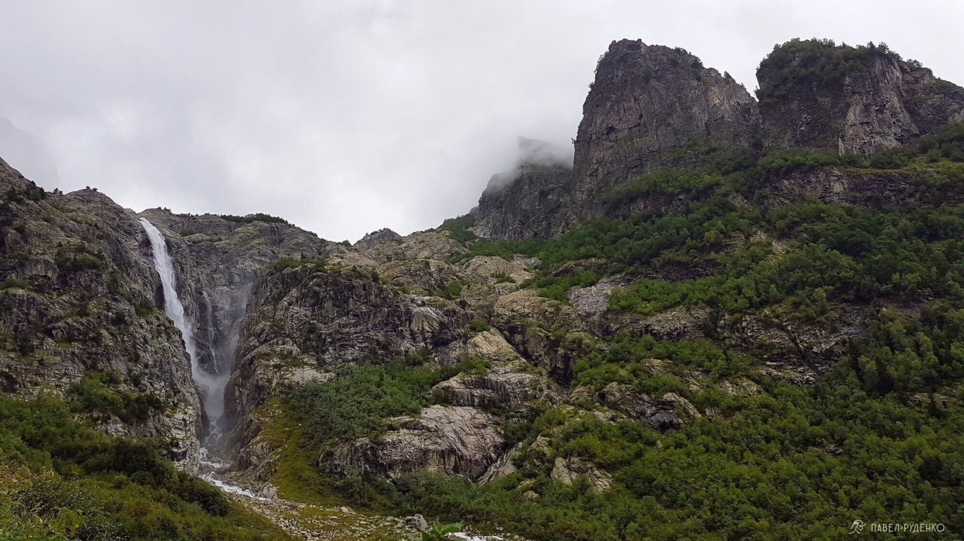
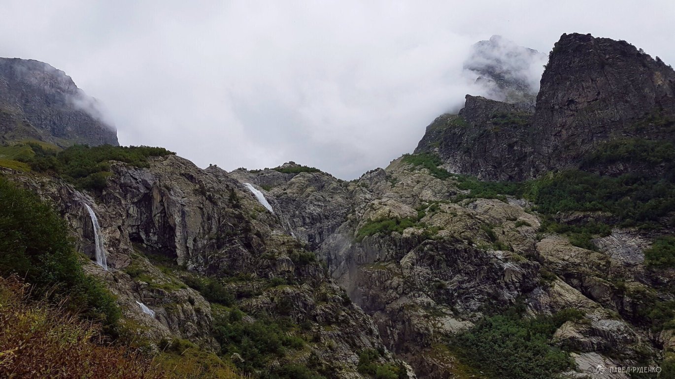
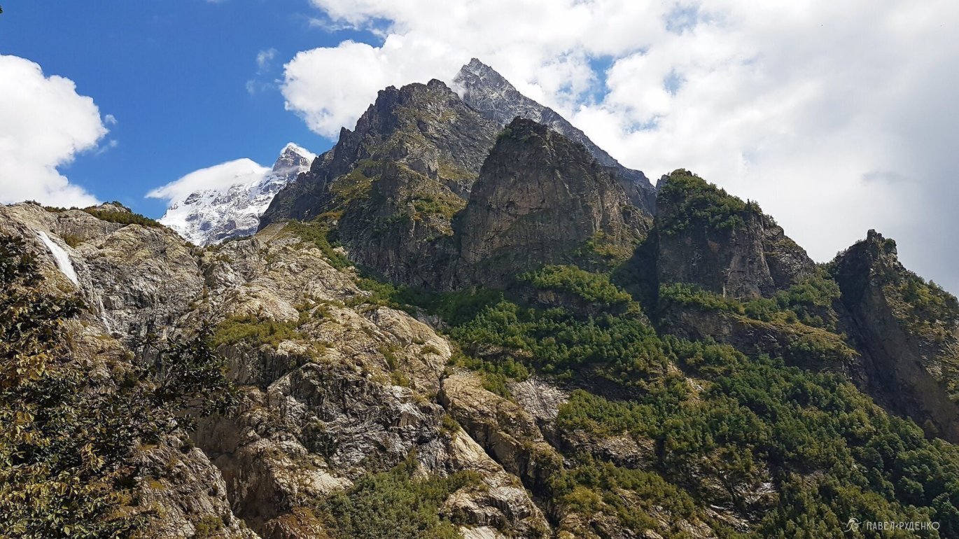
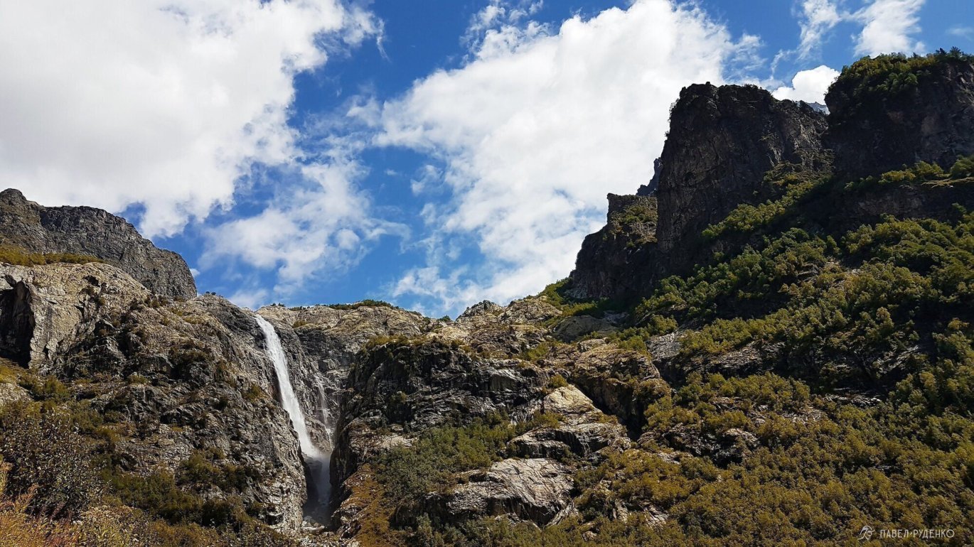

Hiking along the trail, watching my step, I suddenly heard rustling ahead. I looked up and saw a massive stallion with dark gray dapples. He stood there, silently gazing at me without looking away. I stepped closer, slowly reached out my hand, and took another step; the horse kept his eyes locked on mine. I gently touched his nose and froze. Good heavens, in moments like these, you just want to mount the horse and gallop away through the thicket.
Further on, the trail climbs steeply, and crossing the uppermost creek feels a bit intimidating. The water rushes downhill, plunging into a waterfall just 10 meters below. The key here is to gain elevation safely and tread carefully on the wet rocks.
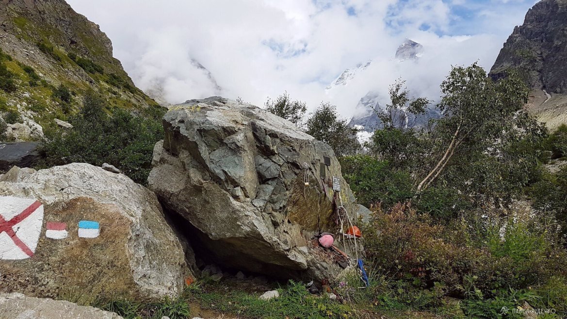
Next come bushes, a narrow footpath, and finally an open, flat, rocky stretch right before the glacier. Tent spots are scarce here, but they do exist. There is also a memorial stone nearby.
There was nobody at the glacier; the mountain felt eerie and imposing. Yet taking in the view of such a peak from a safe vantage point is an incredible pleasure.
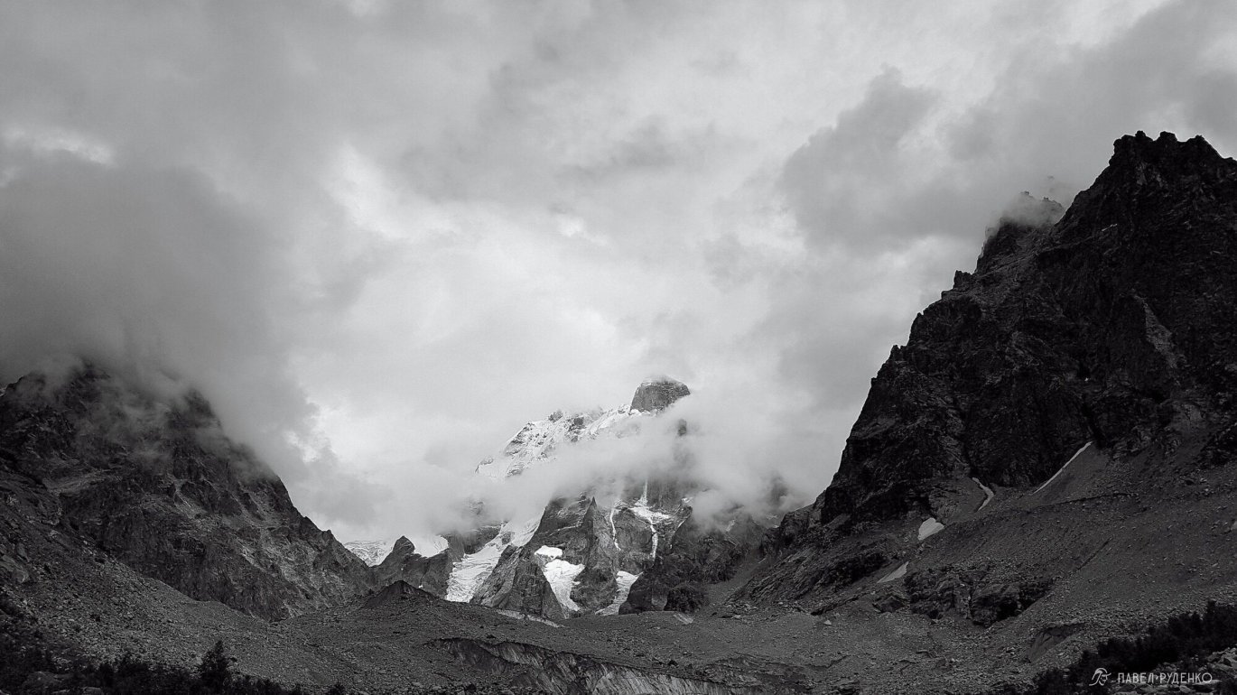
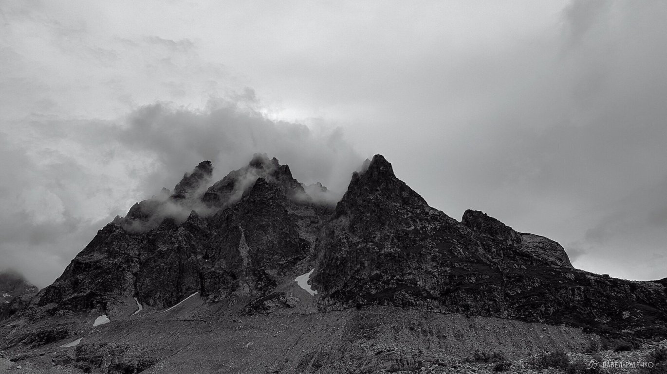
Ushba has a notorious reputation: it ranks among the most inaccessible mountains and is considered the most challenging 4,000-meter peak.
Translated from the Svan language, the name of this Caucasian peak on the border of Russia and Georgia means “The Mountain of Misfortune.” Ushba (4,700 m), widely regarded as one of the world's most demanding four-thousanders, denies access to its summits even in fair weather, and ascending it demands serious rock and ice climbing skills. The “Queen of the Caucasus” forgives no mistakes: most mountaineers who lost their lives on Ushba fell due to belay errors or snapped ropes.
Along the trail, I met a shepherd who told me that just last month a hiking group was heading toward the glacier when a young man from Belarus fell to his death. Before that, four climbers from China attempting the wall found themselves stranded, unable to ascend or descend. A rescue helicopter was dispatched, and they were successfully extracted alive on the third day.
On my way down to the village, I ran into a local gentleman driving a minivan—such a wonderful person. He convinced me to wait for a Swiss couple so he could drop me off at my destination; the people in Georgia are remarkably hospitable!
For a better perspective on the views and terrain, I’ve included 3D panoramas from Google Earth.
They are not mine; credits belong to the original authors as indicated on the images.




To Chalaadi Glacier
- A day hike to Chalaadi Glacier. Camping by the glacier is possible.
- Elevation gain: 510 m.
- Highest point: 1,900 m.
- Distance: 12 km from Mestia to Chalaadi Glacier.
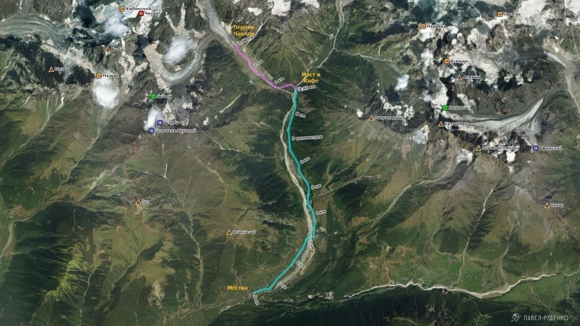
The first 8 km follow a gravel road along the Mestiachala River; you can drive this section or walk it. The river can flood, so be prepared for puddles and ankle- to knee-deep wading. This stretch isn't particularly scenic, so you can hike it briskly in about 3 hours at a moderate pace.
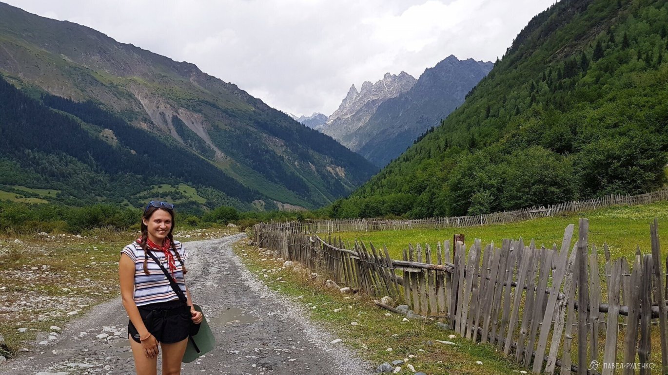
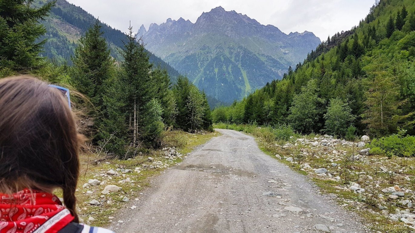

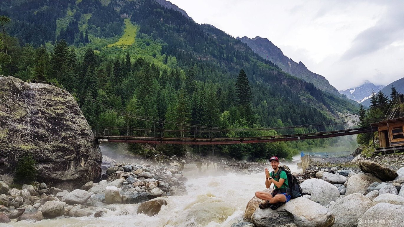
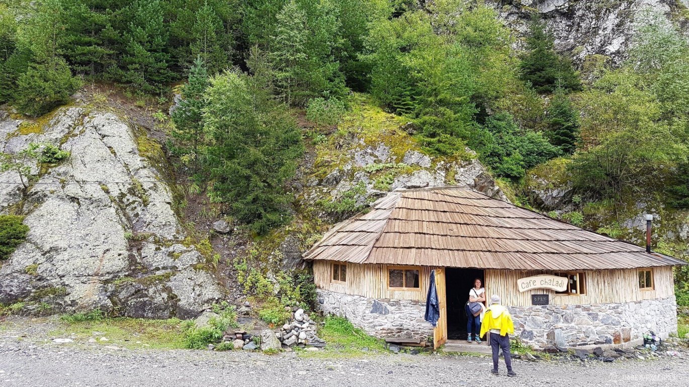
Near the suspension bridge, there is a café; from here, a beautiful forest trail begins, covered in lush moss with a truly atmospheric feel.
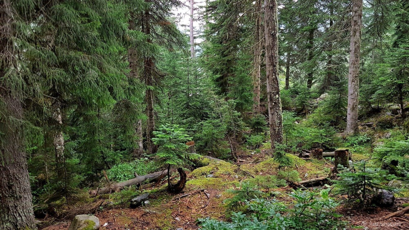

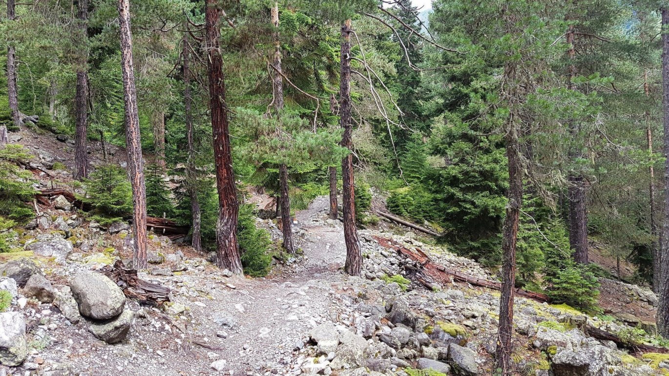


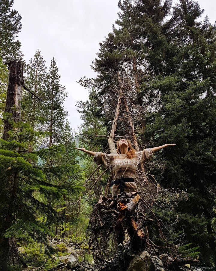

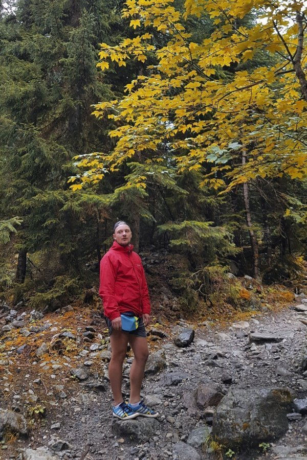
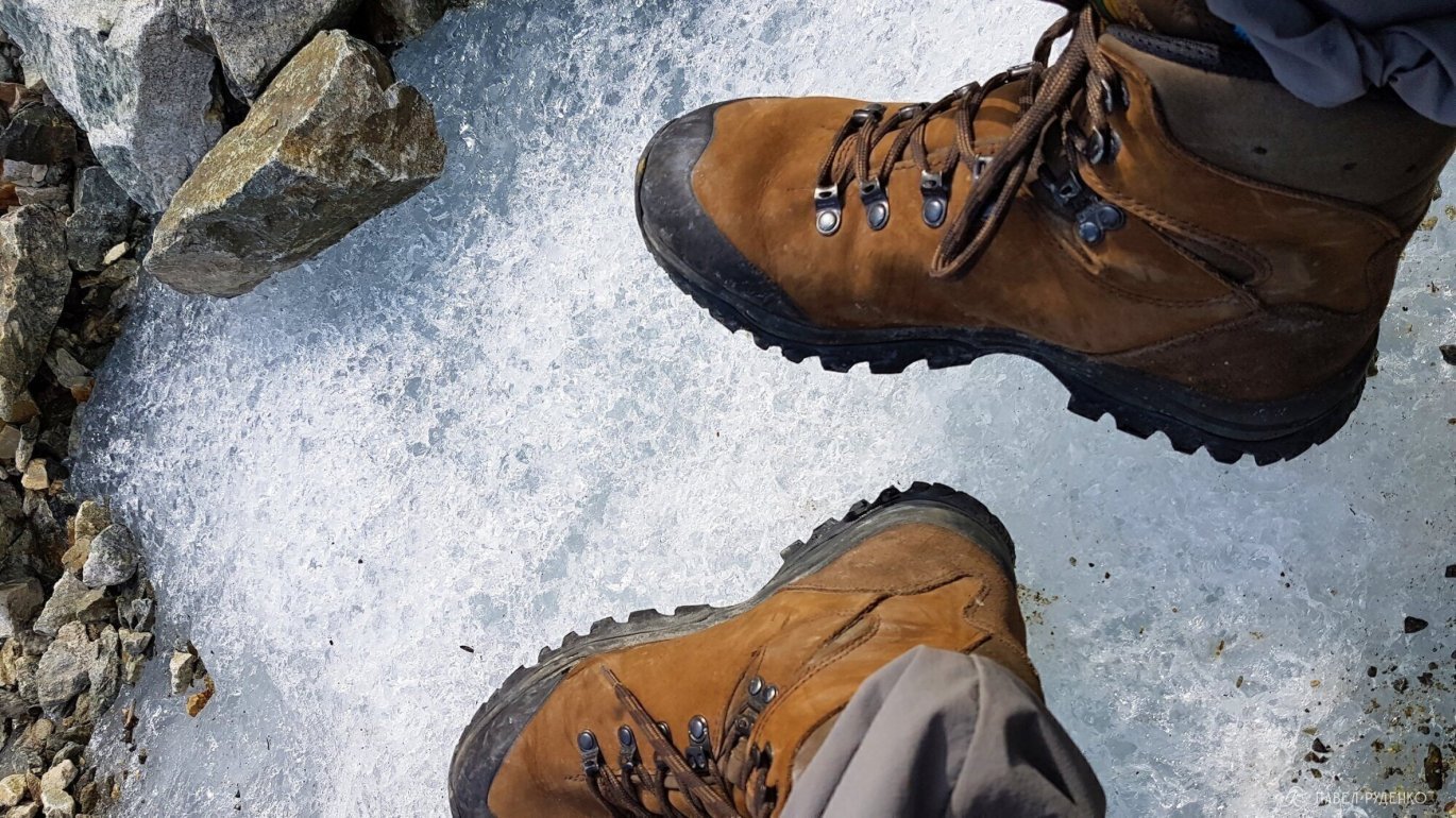
Leaving the forest, you cross a boulder field and continue toward the glacier.
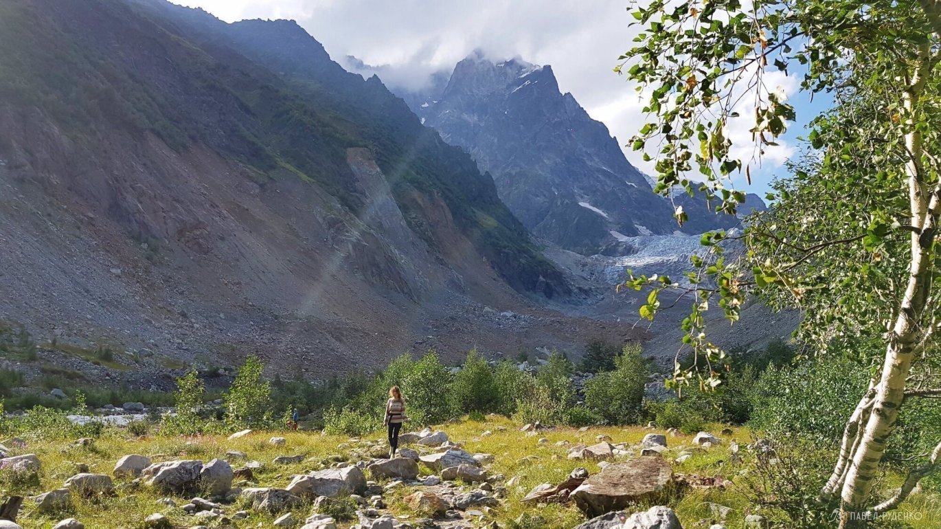
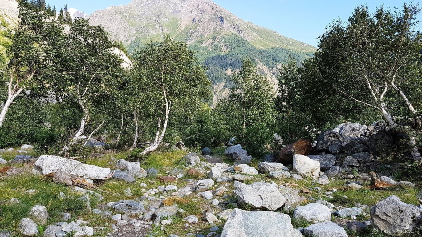

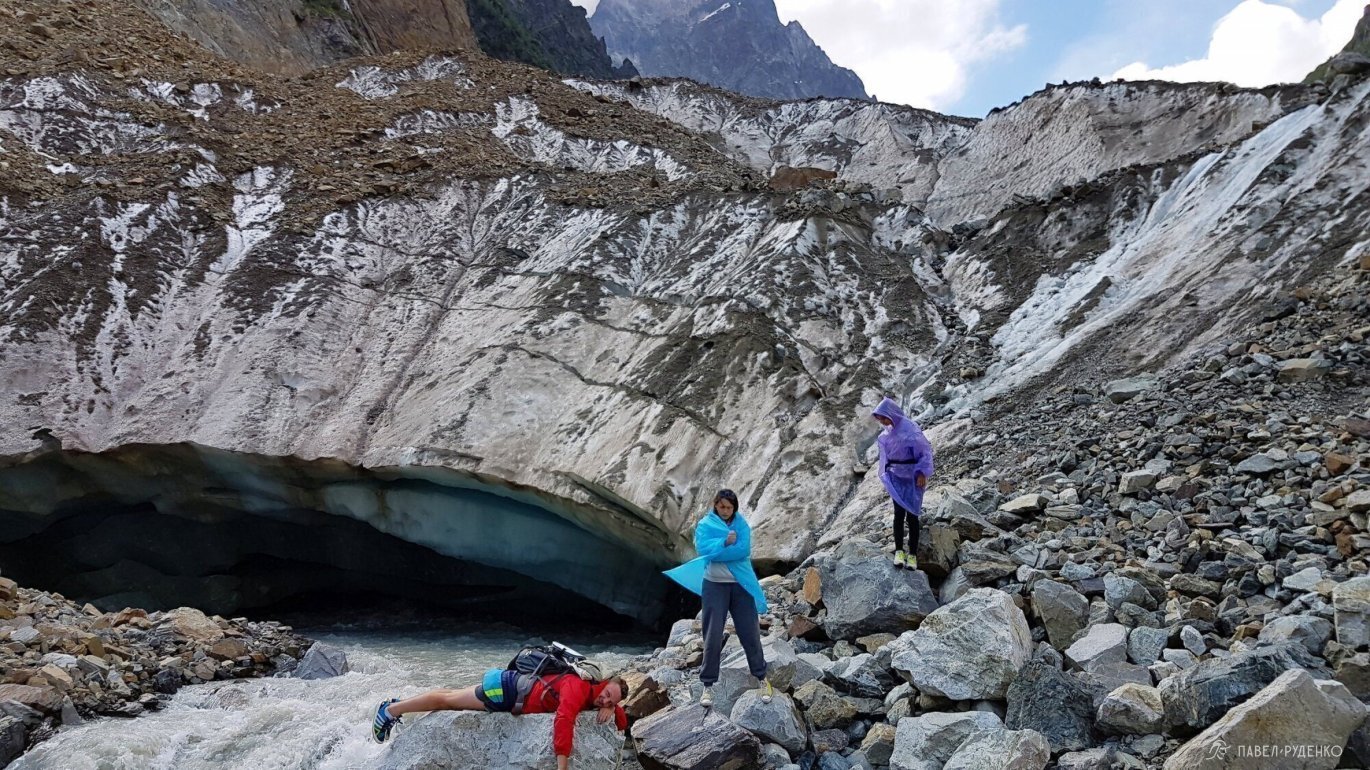
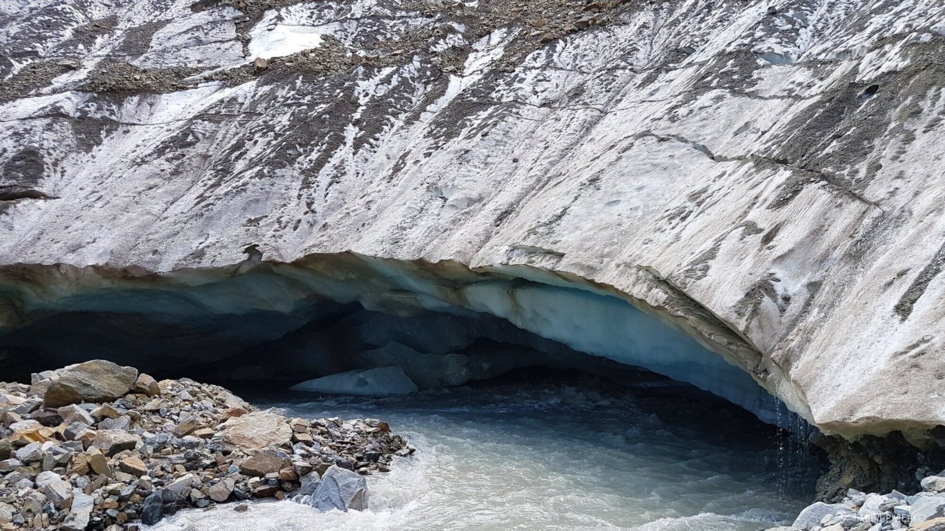
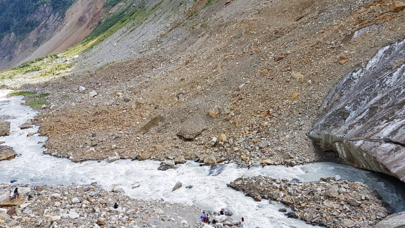
The glacial river is extremely turbulent and unfit for drinking. You can collect water from the numerous surrounding streams instead. Be cautious near the glacier: small rocks often tumble down from above and can bounce 10–20 meters out.

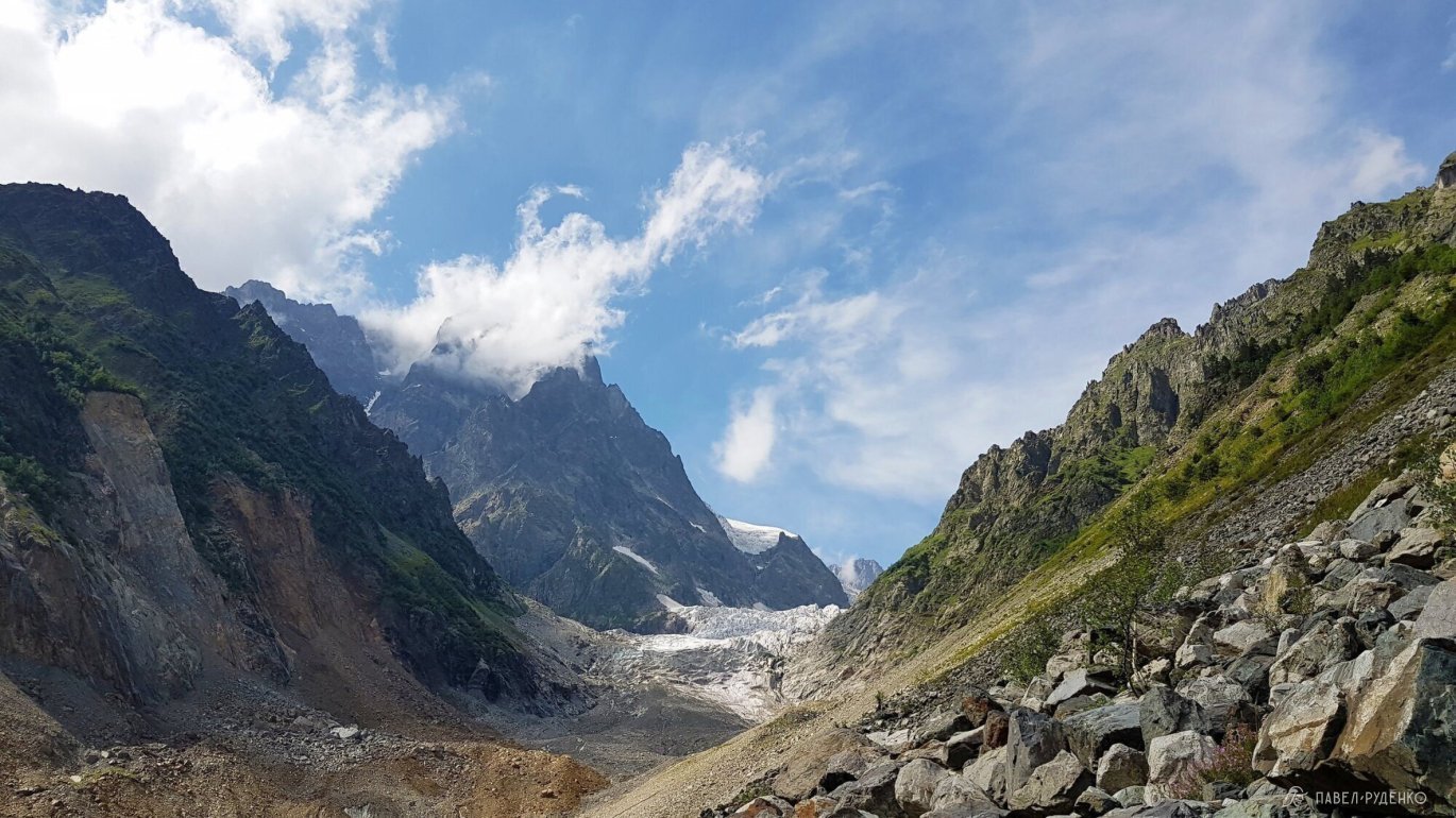
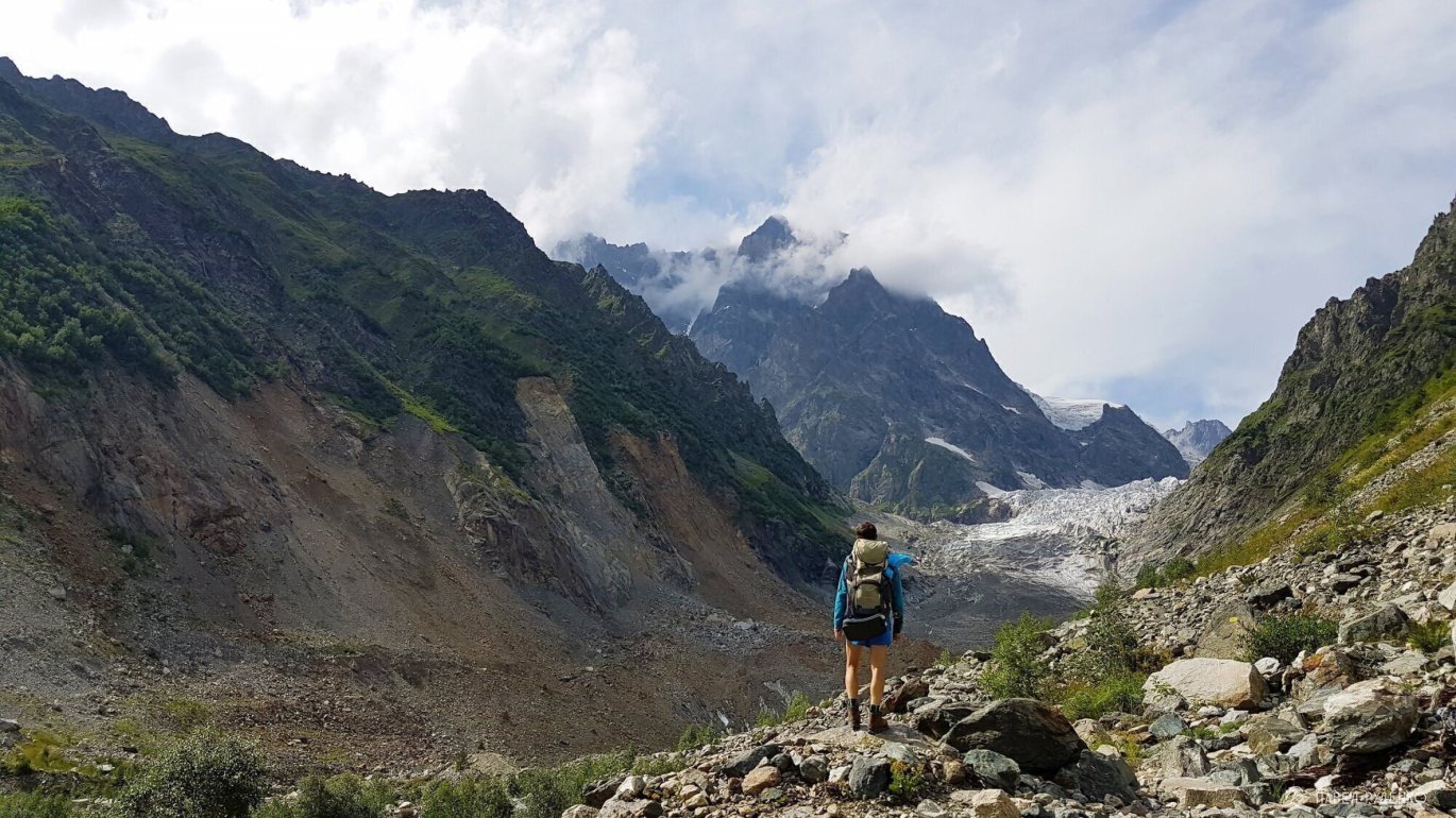
For a better perspective on the views and terrain, I’ve included 3D panoramas from Google Earth.
They are not mine; credits belong to the original authors as indicated on the images.
Scenic Camp / Rest Day Spot
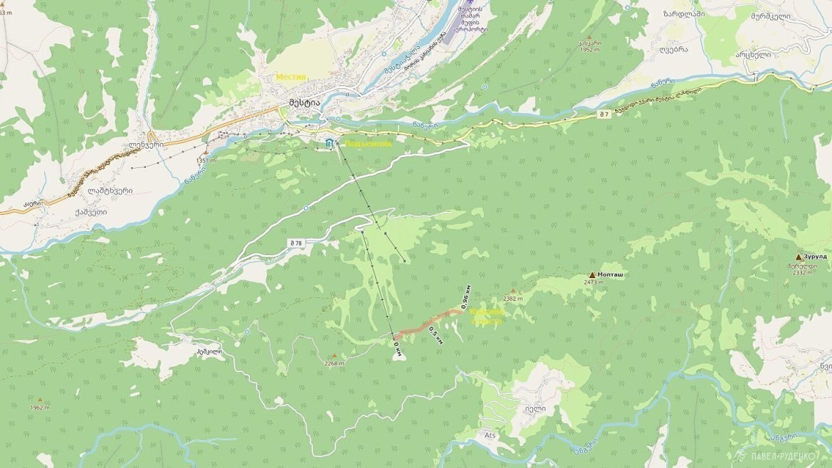
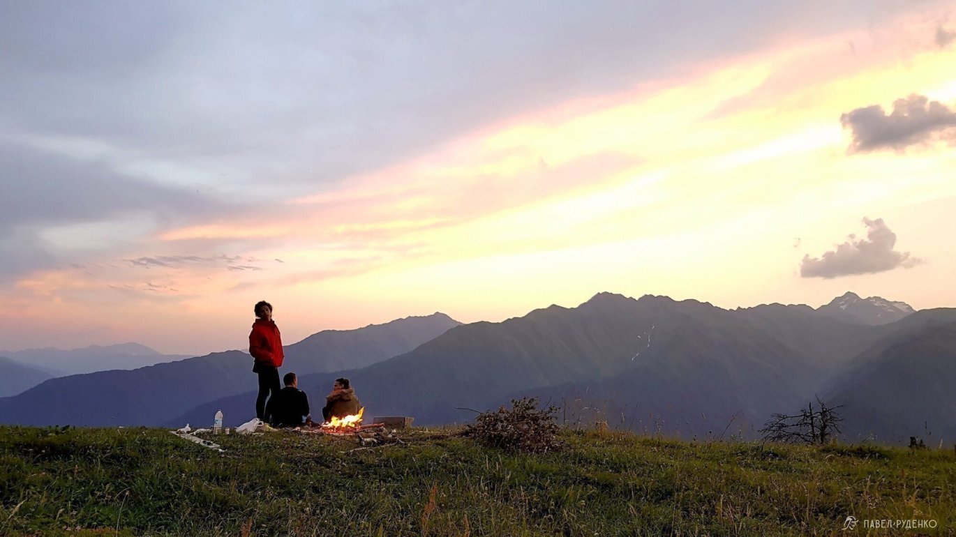
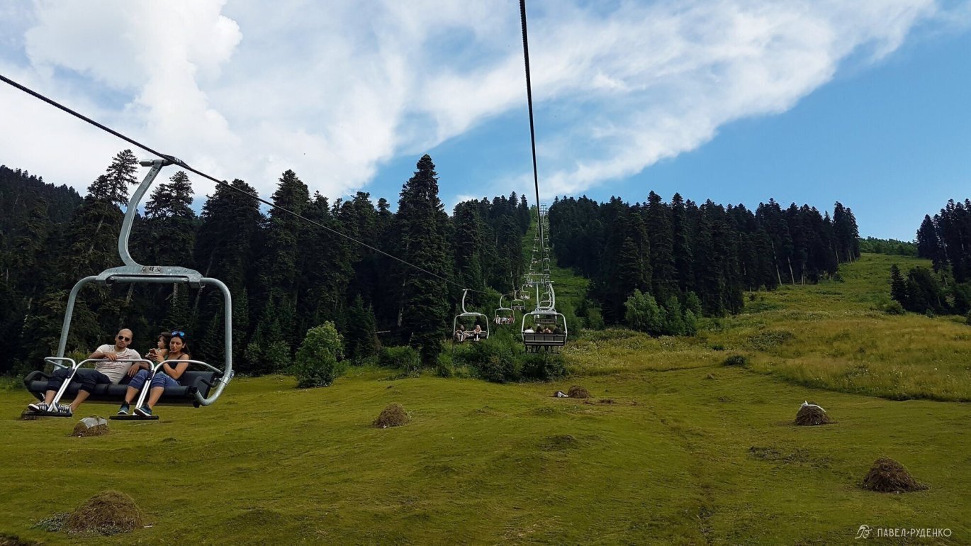
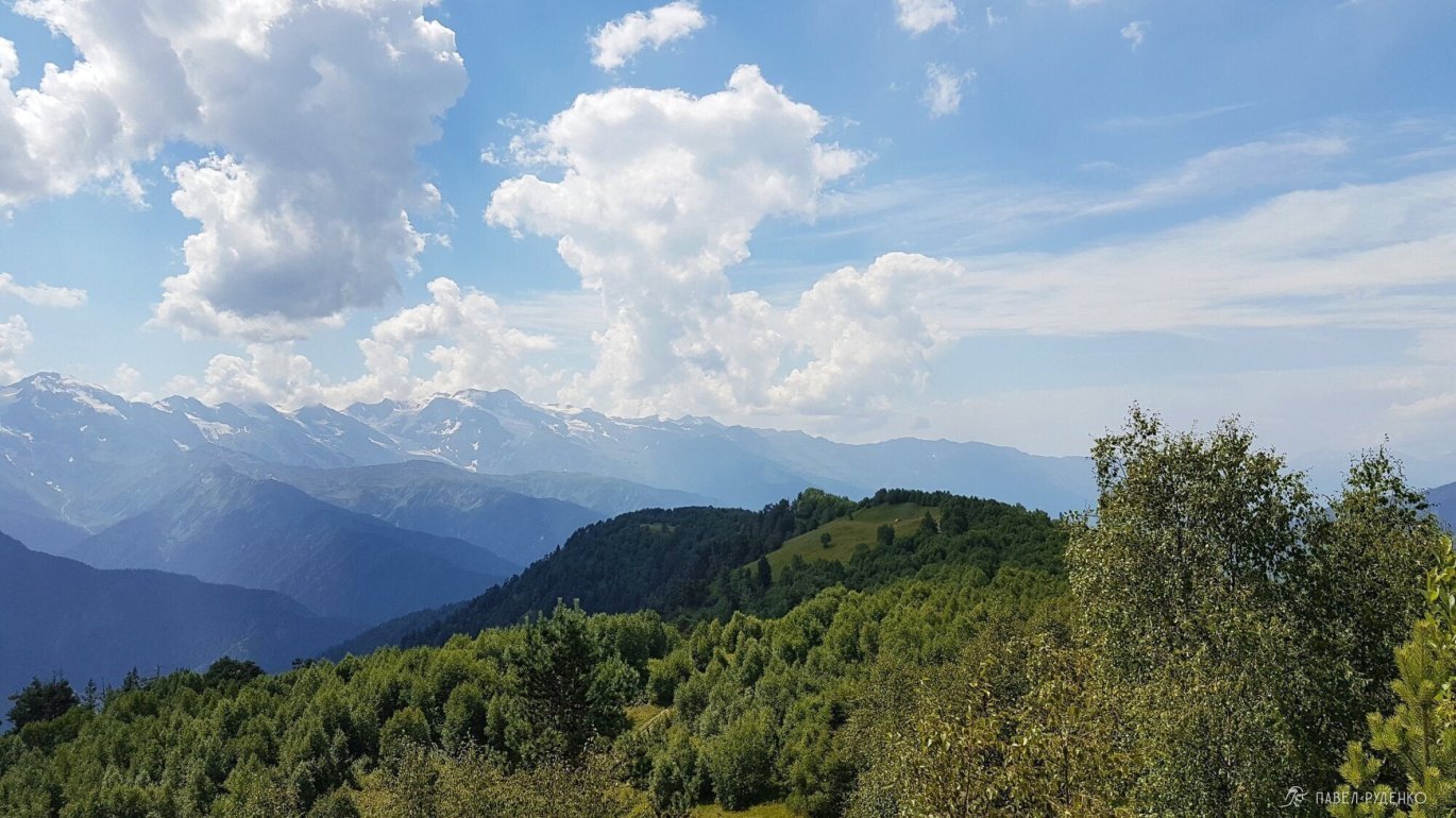
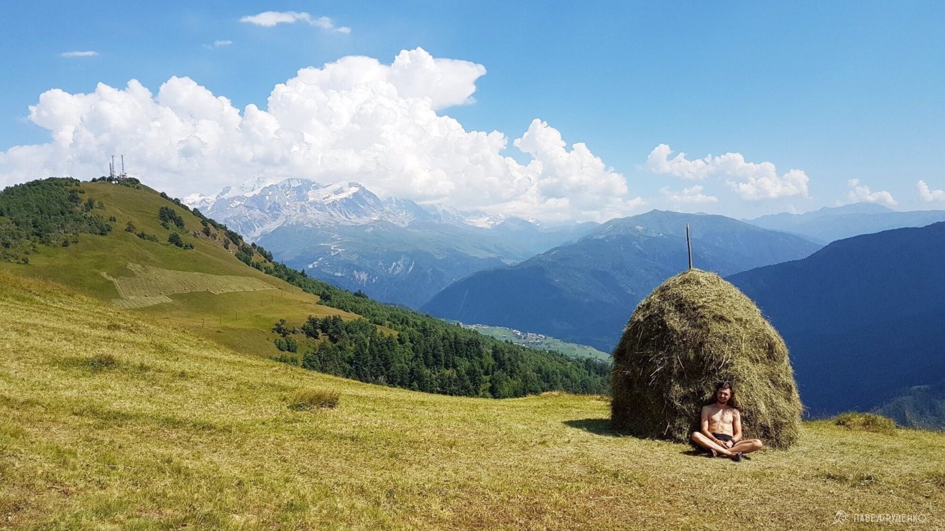
If you simply want to pitch a tent in a quiet, picturesque setting, walk or take a taxi to the ski lift. Buy a ticket, ride to the top, then walk about 1 km to the left and find a nice meadow. There is no natural water source here, but you can fill up at the lift café.
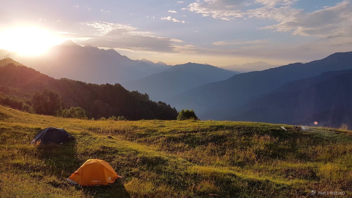
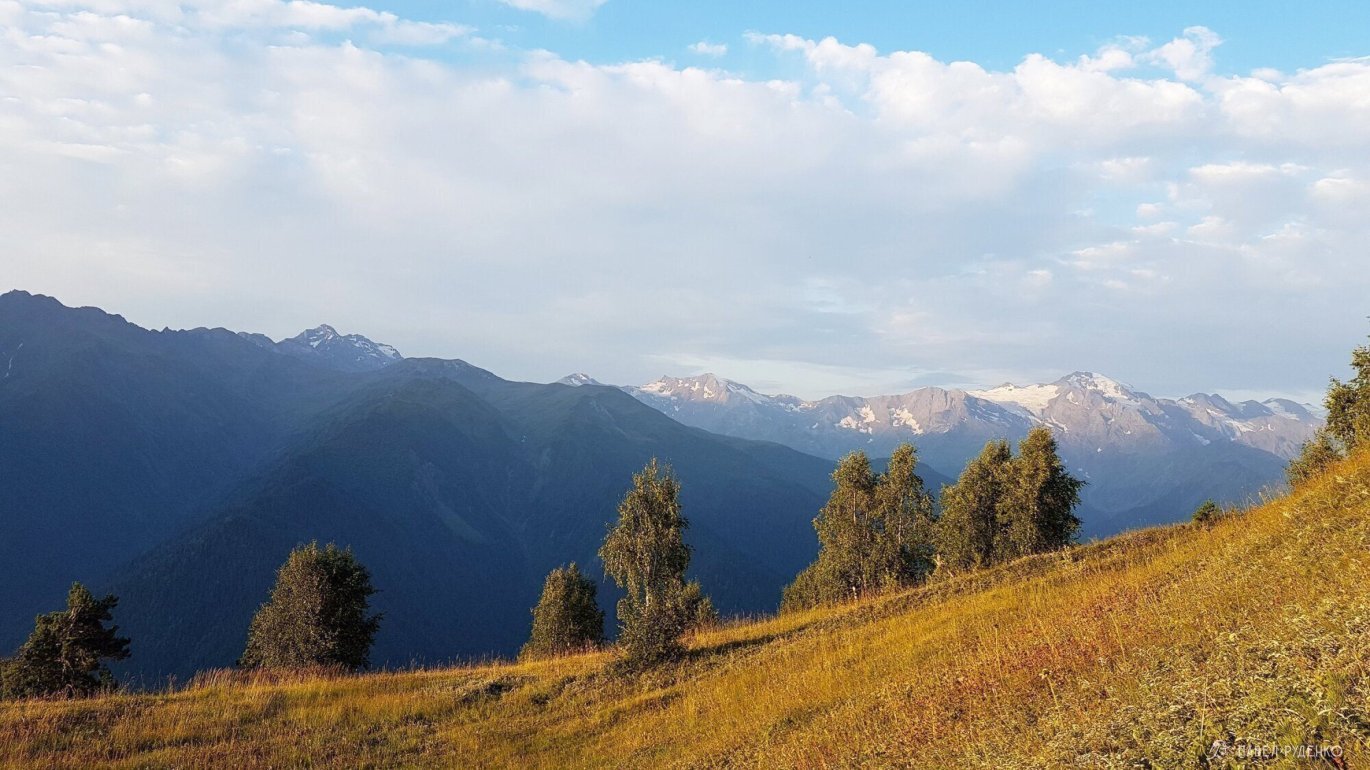
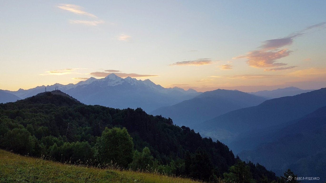
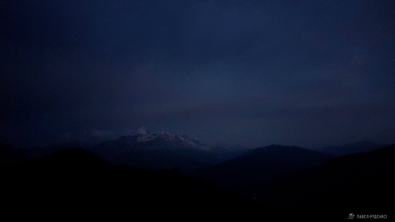
I absolutely loved this spot—the panorama is breathtaking, especially at sunrise.

Route Ideas
I haven't hiked these routes myself, but added them as inspiration for your trip!
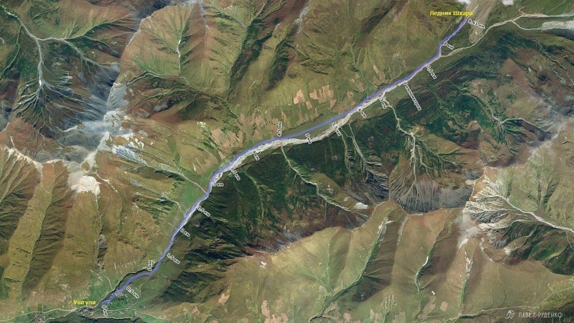
From Ushguli to Shkhara Glacier
- A day hike from Ushguli (2,200 m) to Shkhara Glacier (2,650 m), with an optional tent overnight.
- Elevation gain: 450 m.
- Highest point: 2,650 m.
- Distance: 9.5 km from Ushguli to Shkhara Glacier.
Part of the trek follows a dirt road with a river crossing, leading to a boulder field at the foot of the glacier. Along the way, enjoy panoramic viewpoints overlooking Ushguli and the massive glacier.
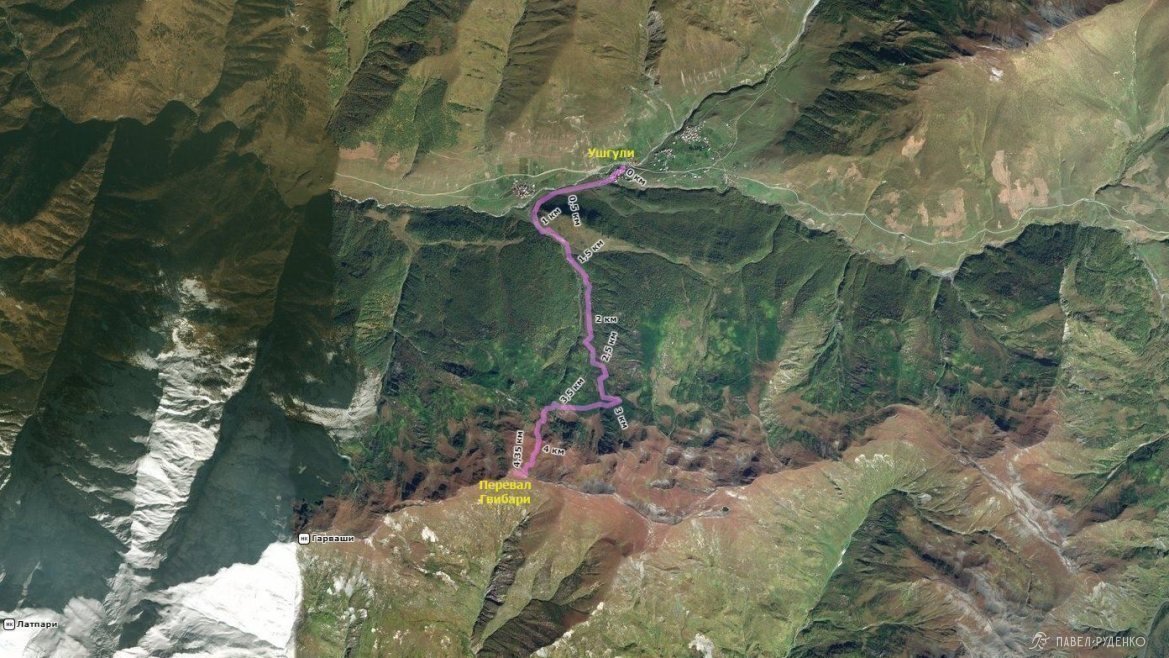
From Ushguli to Gvibari Pass
- A day hike from Ushguli to Gvibari Pass, with an optional tent overnight.
- Elevation gain: 875 m.
- Highest point: 2,945 m.
- Distance: 4.6 km from Ushguli to Gvibari Pass.
The summit offers sweeping views across the Caucasus Mountain Range; on a clear day, Mount Elbrus is visible in the distance.
To Koruldi Lakes
- A day hike from Mestia to Koruldi Lakes, with an optional tent overnight.
- Elevation gain: 1,250 m.
- Highest point: 2,700 m.
- Distance: 9 km from Mestia to the lakes.
The trail starts right from town and climbs steeply upward. It is an extremely popular and scenic trek.

If you have any questions, feel free to send me a direct message.
Also check out other articles about Svaneti:




Comments (0)