
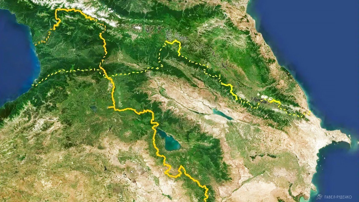
The Transcaucasian Trail in Armenia
In 2022, a test passage of the Transcaucasian Trail opened for thrill-seekers in the Armenian section, 861 km long, which I completed in the most interesting locations in June-August, covering a total distance of 600 km. Last year, about 50 people completed the route, including me. Now the trail has been adjusted, some difficult sections have been changed and better described.
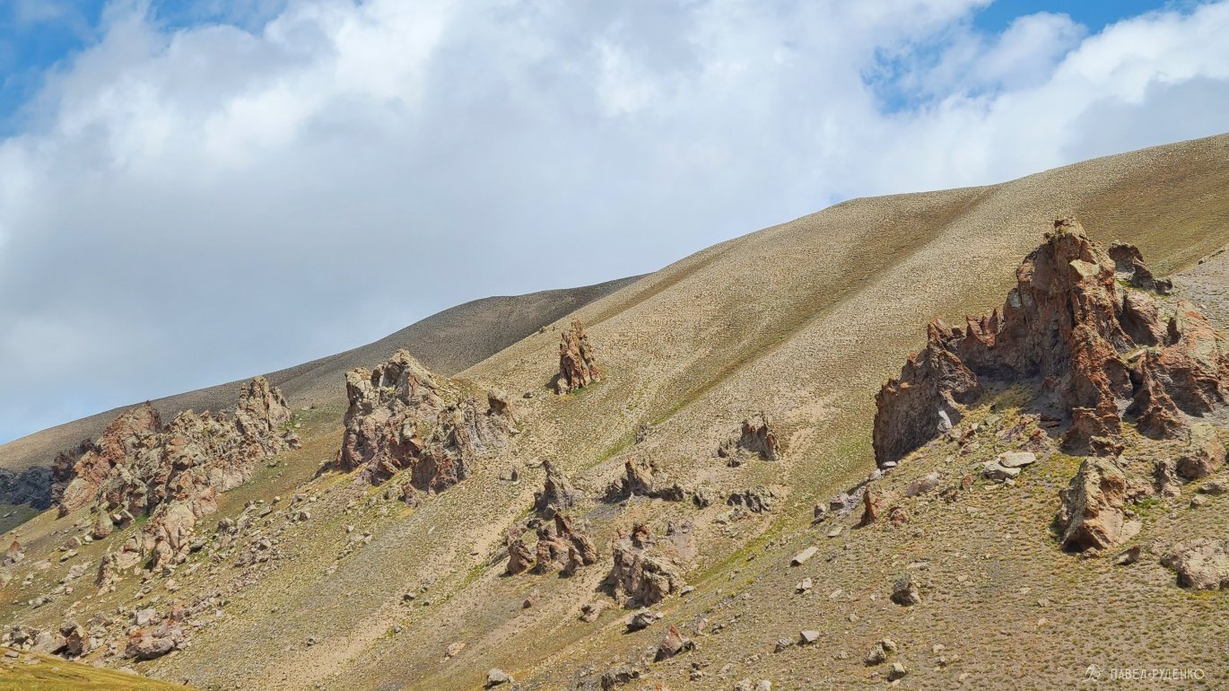
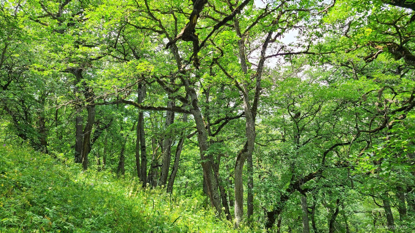
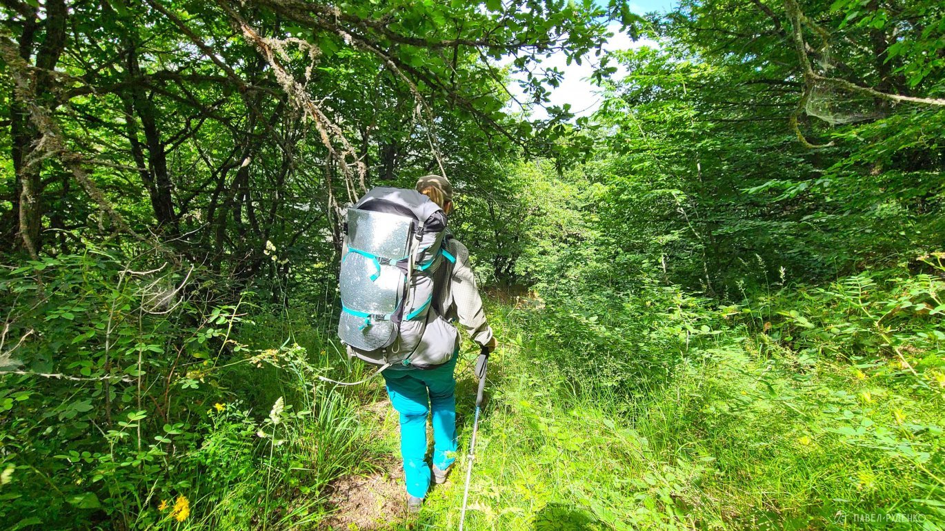
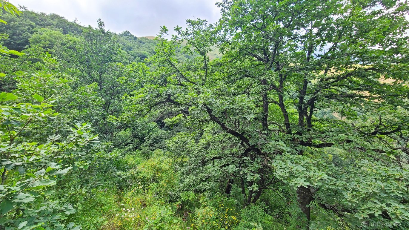
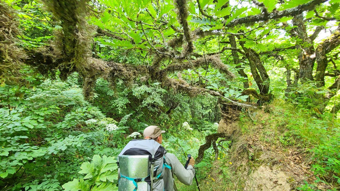
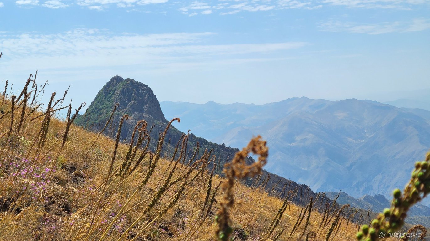
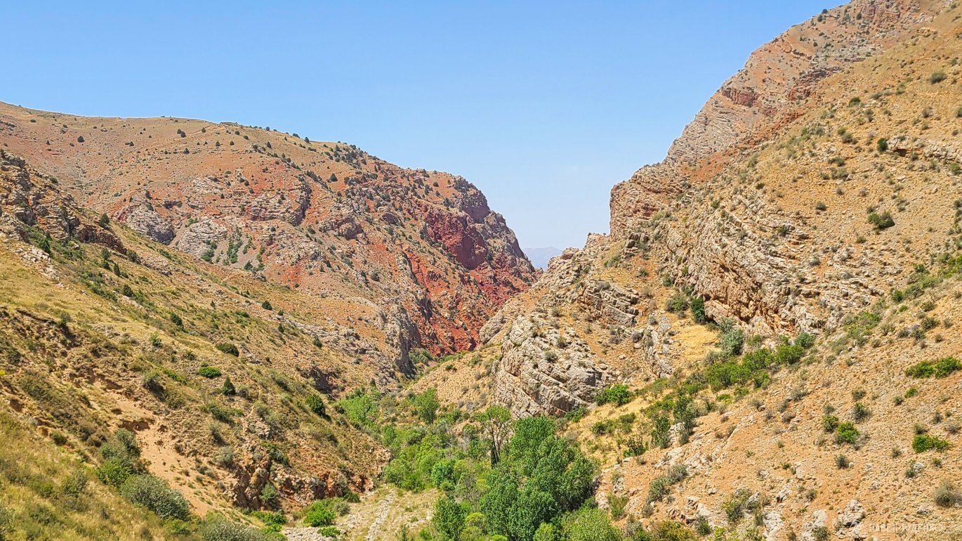
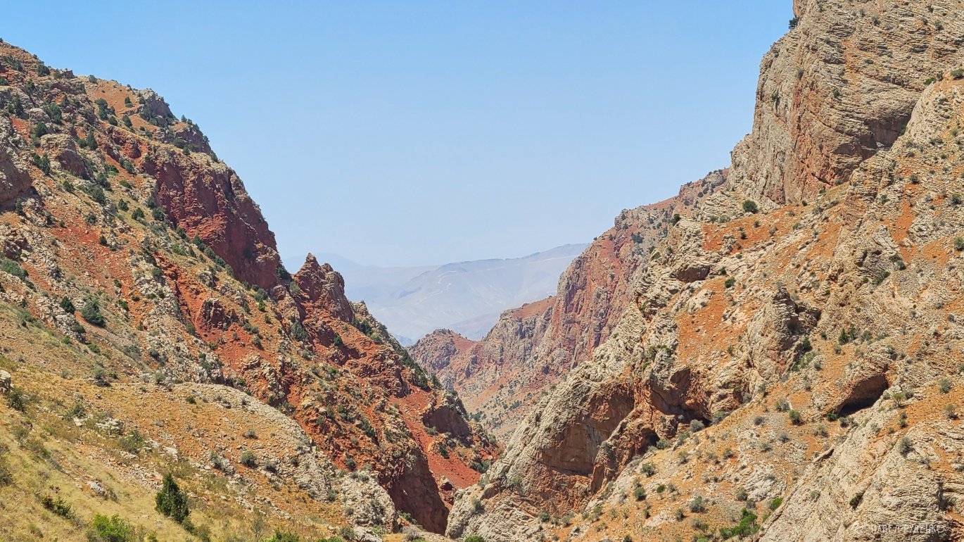
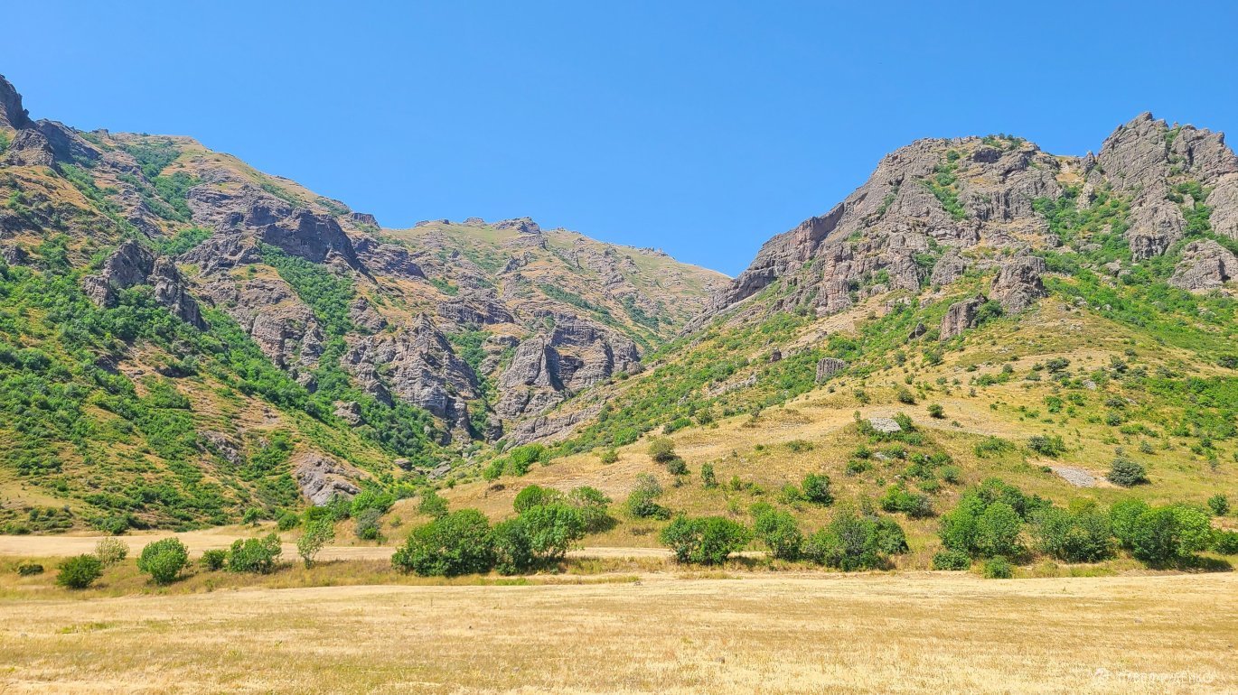
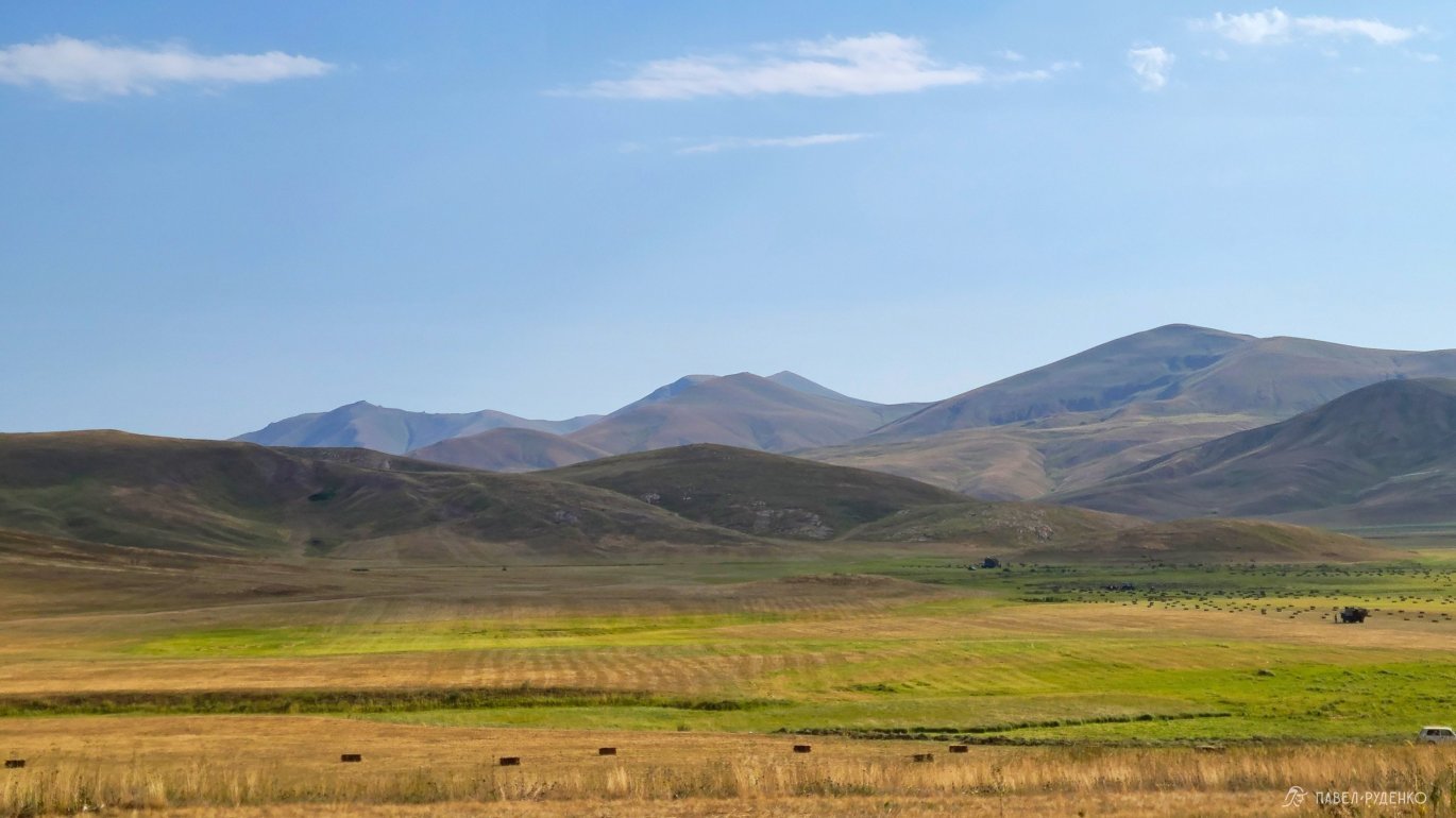
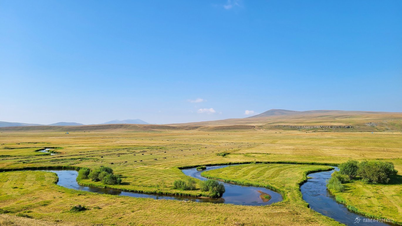
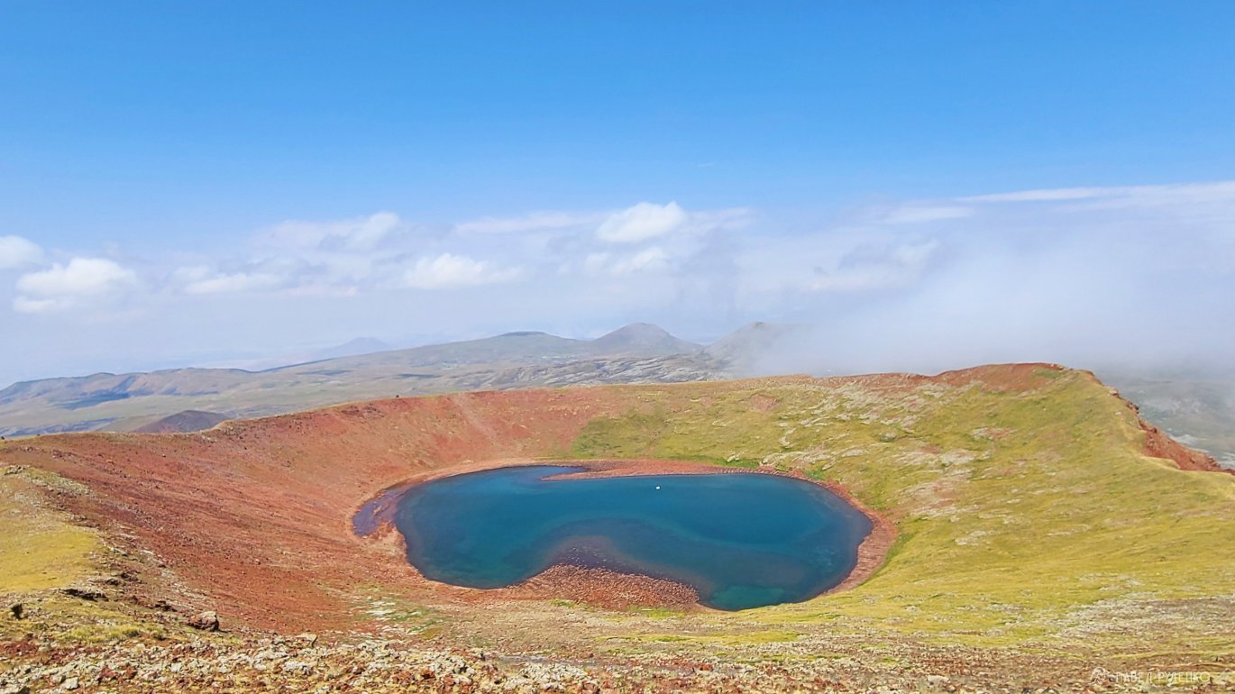
The trail runs from the south of the town of Meghri, near the border with Iran, to Lake Arpi in the north. Through the mountainous terrain of the entire country, canyons in Tatev, treeless steppes, lush forested hills, volcanic plateaus of the Geghama Range, and small villages, churches, and ancient ruins.
The trail also stretches into Georgia, where active preparations are still underway, but the trek route is also available.
The best season for completing the TST
Armenia has a dry, continental climate with hot summers and snowy winters. The trail runs through the mountainous regions of Armenia and often rises to 3,000 meters above sea level. Due to this, too early a complete passage, for example, in May, is difficult due to snow in the high-mountain areas such as: Arevik National Park in the south, Geghama Range, Dilijan National Park. But it's a great time if you plan to complete individual, short, and low-mountain sections.
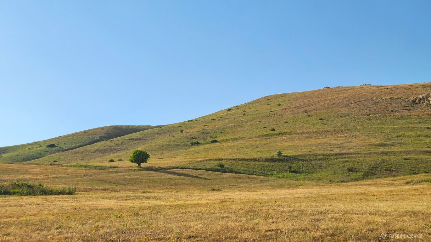
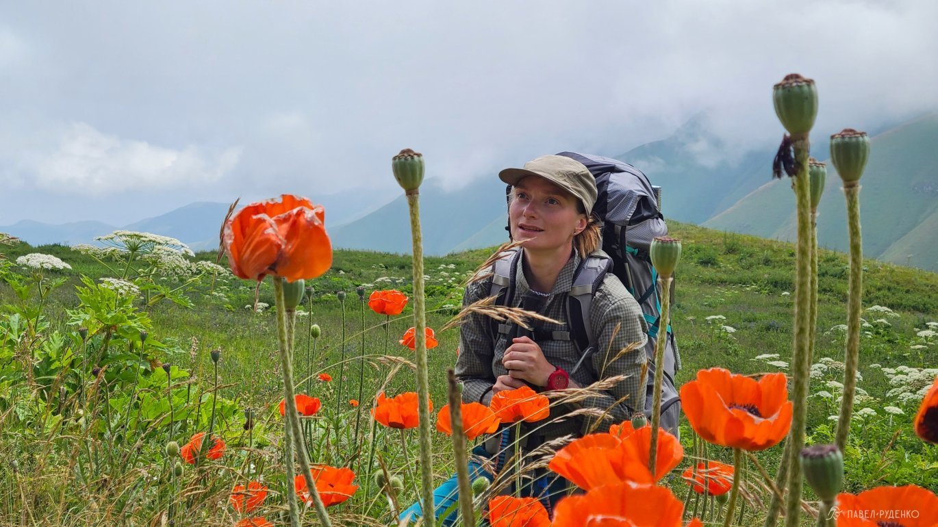
In spring, in September, the nature is very beautiful, red and yellow colors appear, but after a hot summer, most sources are dry, which also makes it difficult to pass, as you will have to carry large reserves of water for a day or more. But at this time, it's also cool to walk individual sections of the trail.
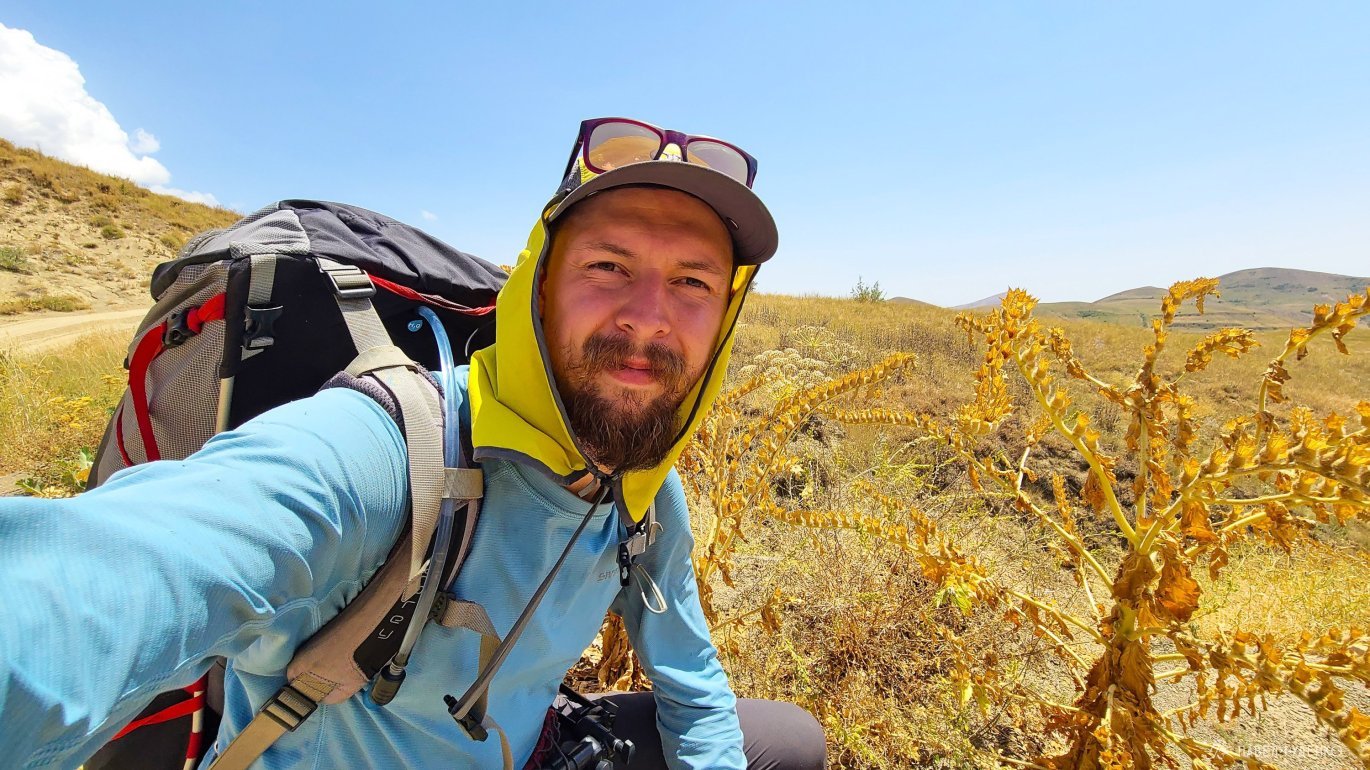
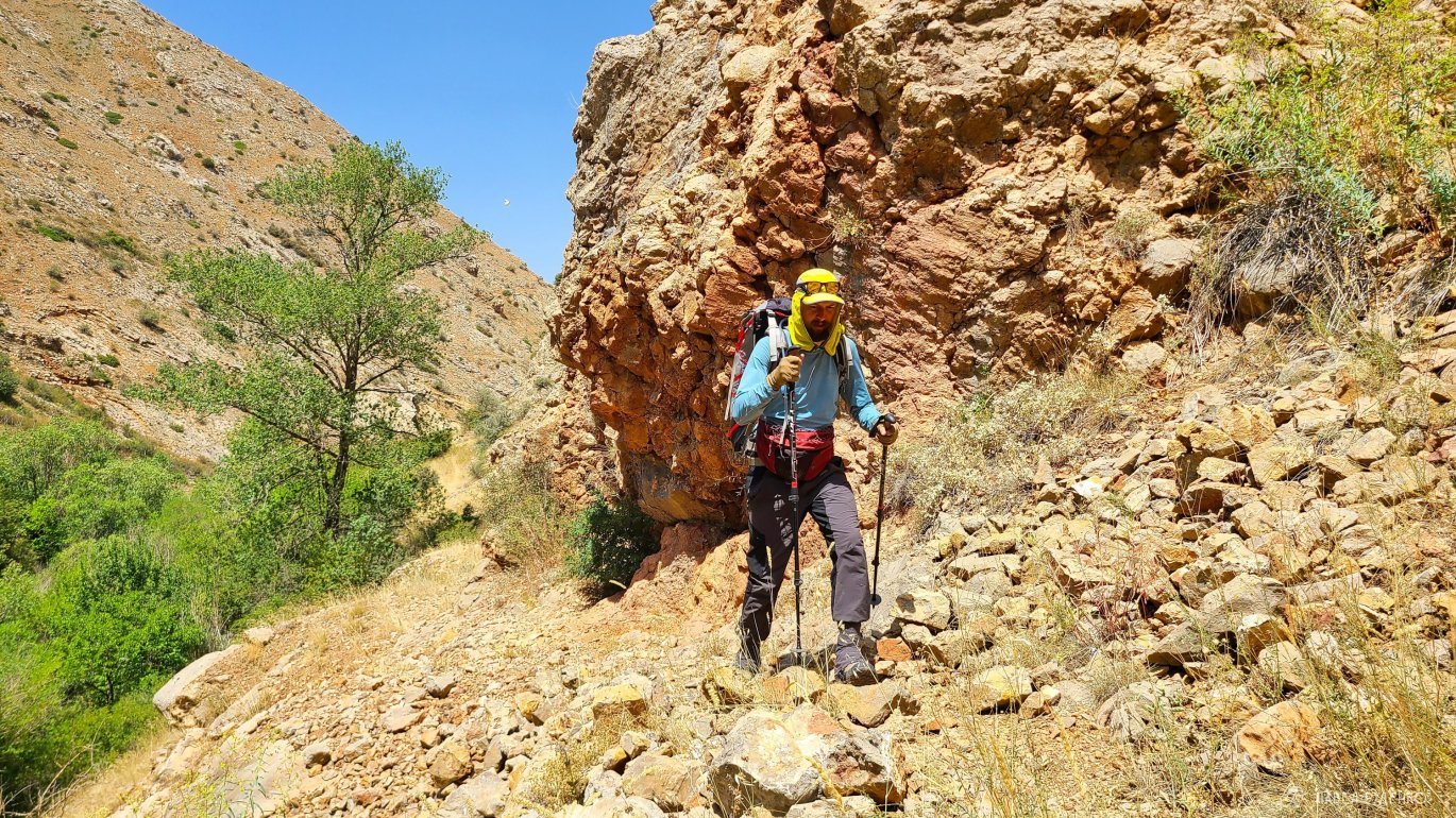
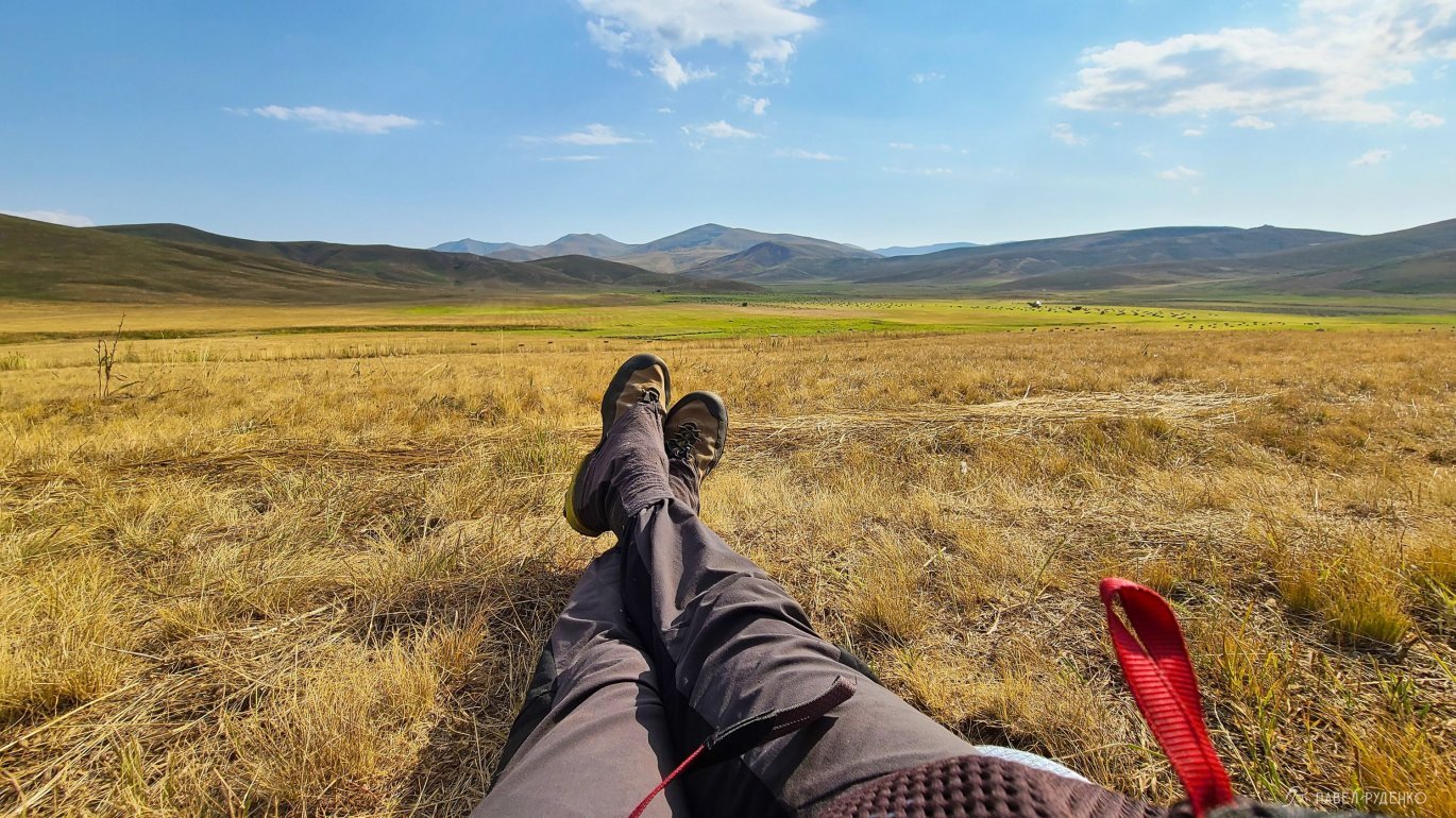
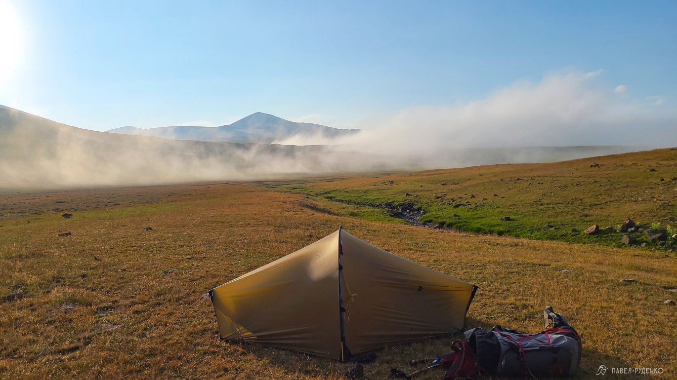
The optimal time to complete the entire trail is June-July. In June, you can still find snowfields in some areas, streams are still full, the temperature is not as hot as in July and August, but there is more rain. I completed the route from July 19 to August 12, it's a very hot season, in Arevik National Park and Vaydzor region, the temperature in the shade reached +40C, it's very hot, during the hike I had 3 cases of mild sunstroke. It was good in its own way and the time is also suitable for passing, although not optimal.
Which direction to go, from North to South or vice versa
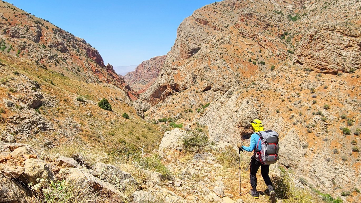
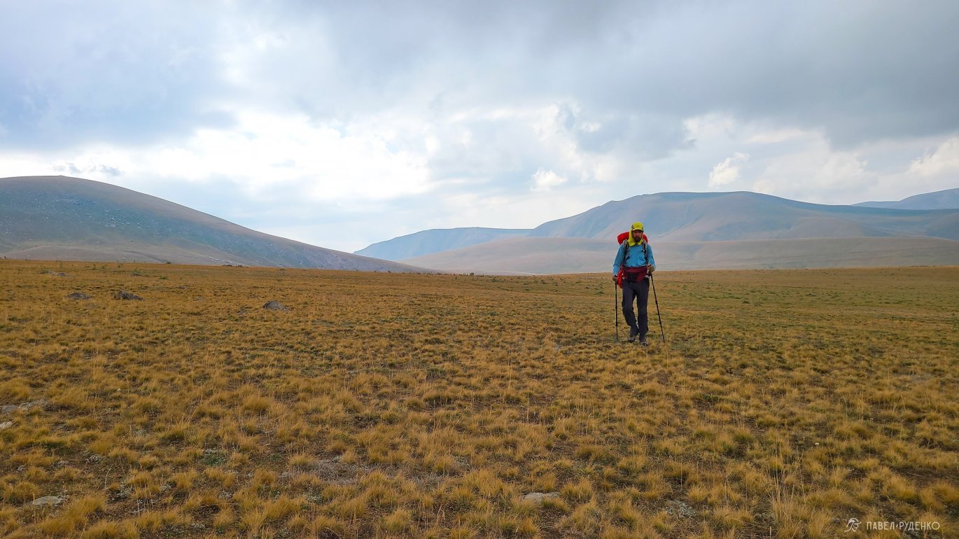
Passing is possible in any direction. The main difference will be that starting from the South, you will immediately face the most wild and difficult section from Meghri to Kapan, 70 km, 5 days of walking. It is difficult due to the height difference, rare sources of water in the first 20 km. From the north, the path begins without strong height differences and goes from village to village, which is better for comfortable acclimatization.
I started my journey from the South for several reasons. First, the first part of the way was with Anya and it was logical to complete the most interesting section. Second, internal perfectionism does not allow starting the TST from the middle to the south, and I plan to complete everything later and it turns out to be a slight logical диссонанс))
If you plan to complete a small section of the trail, say for a week, I would recommend 3 main regions:
Arevik National Park
Geghama Range
Dilijan National Park
Replenishing supplies of food and gas
I treat such trails in a sense as a journey. It's another country, local people on the way, etc. The format allows you to constantly buy products, which gives us the opportunity to reduce the weight of the backpack, accurately calculating the points of replenishing supplies.
Stores are sometimes found every 20 km, and sometimes they are absent for 130 km in the Geghama Range section. You can count on large grocery stores in Meghri, Kapan, Goris, Sisian, Jermuk, Yeghegnadzor, Sevan, Dilijan, Alaverdi, and Stepanavan. These are still small supermarkets compared to Moscow stores, but they have everything you need.
Small shops can be found in the villages, but keep in mind that they may be closed. In Verin, Vachagan, Beh, Tatev, Shamb, Bartsraman, Angeghakot, possibly in Gorayk, Jermuk, Artavan, Gladzor, Vernashen, Shatin, Ors, Gosh, Tumanyan.
There are also cafes and restaurants along the way where you can eat something tasty))
Gas
The situation is more complicated with gas. It can be bought in Yerevan. I recommend the scheme that I used myself. We buy the necessary amount of gas cylinders and send them by state post in Armenia.
A passport and the phone number of a local SIM card are required, the price is cheap, the gas is sent without questions.
Choose post offices taking into account the gas consumption and send them there. It is better to clarify the storage period, it seems to be 3 weeks.
Keep in mind that the post office may not work on weekends.
In some stores, you can find gas cylinders, but I have no confidence that it will be there. I took an adapter and went to stores, met that sometimes a cylinder for refilling a lighter is sold, not for a burner. They look similar, but such a quirk can happen anywhere.
Russian language, local population
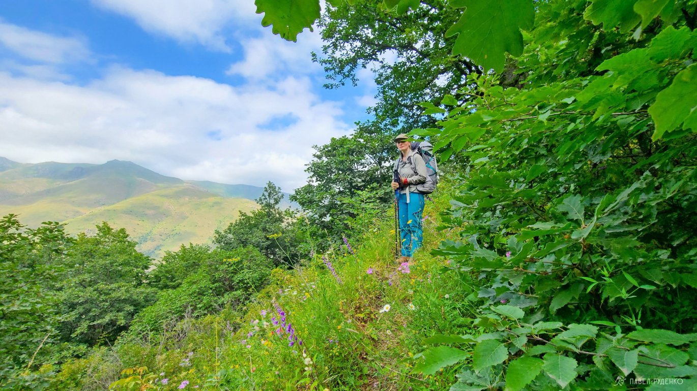
In Armenia, I felt very comfortable and safe. There was always warm communication with the locals, without a single case of aggression or tension, considering that I am a person who is very sensitive to such things. In remote villages, workers in the fields or shepherds, even if they did not know the language, greeted warmly when they found out that it was Russian. Whenever possible, I always communicated, asked how they live, what they think, showed interest in culture and got to know Armenians who are close in spirit much better.
As for the language, more than half of the people I met speak Russian, some speak it perfectly, others poorly, but they easily understand basic things.
A little about the relations with other countries, exclusively my superficial observations, which may be erroneous. It should be taken into account that the Republic of Armenia, unfortunately, is in conflict with Azerbaijan, which is supported by Turkey. The conflict in Nagorno-Karabakh is still ongoing, sometimes escalating, but it is nearing completion and recognition of the borders. Before the hike, it is worth updating the information and checking if the conflict has escalated. Armenian-Georgian relations are ambiguous, as Georgia supports the West, and Armenia is close to Russia. Relations with Iran are normal, economic.
Overnight stays in a tent and guest houses
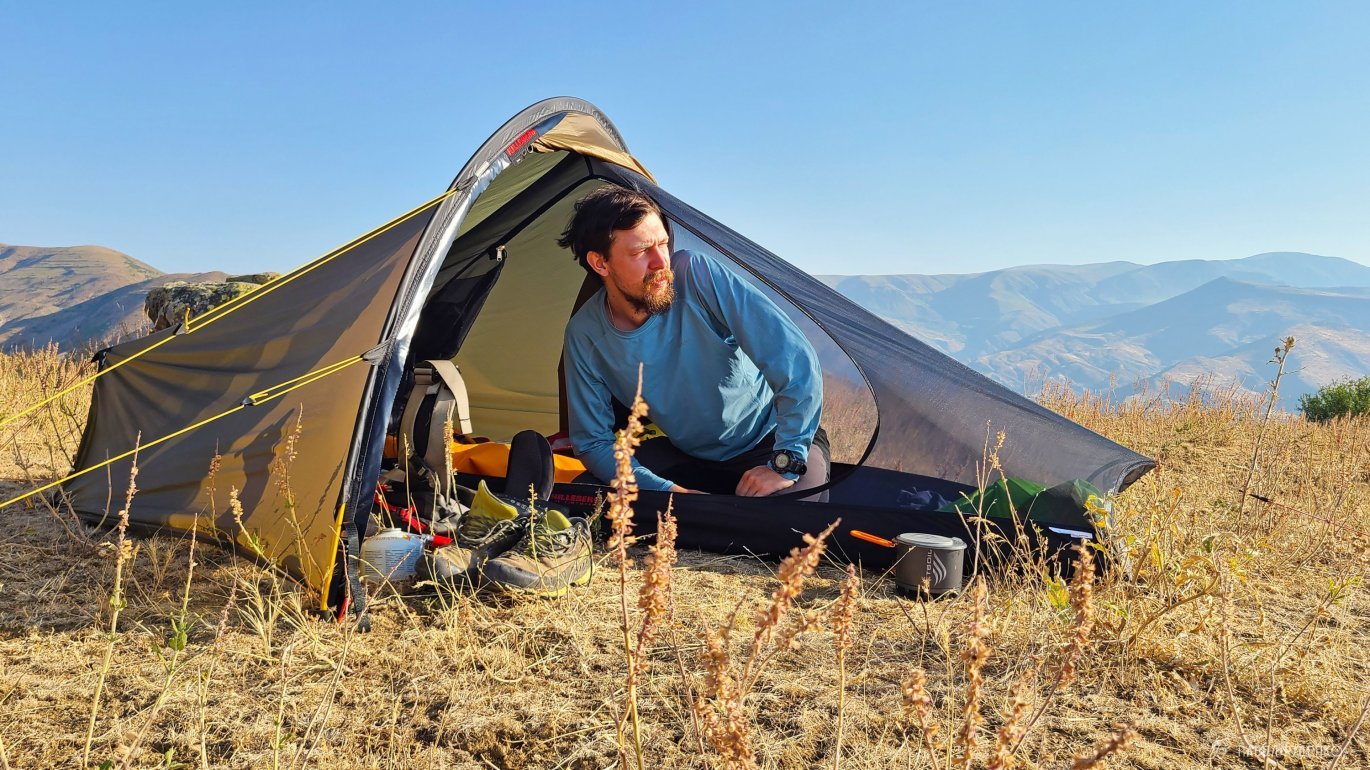
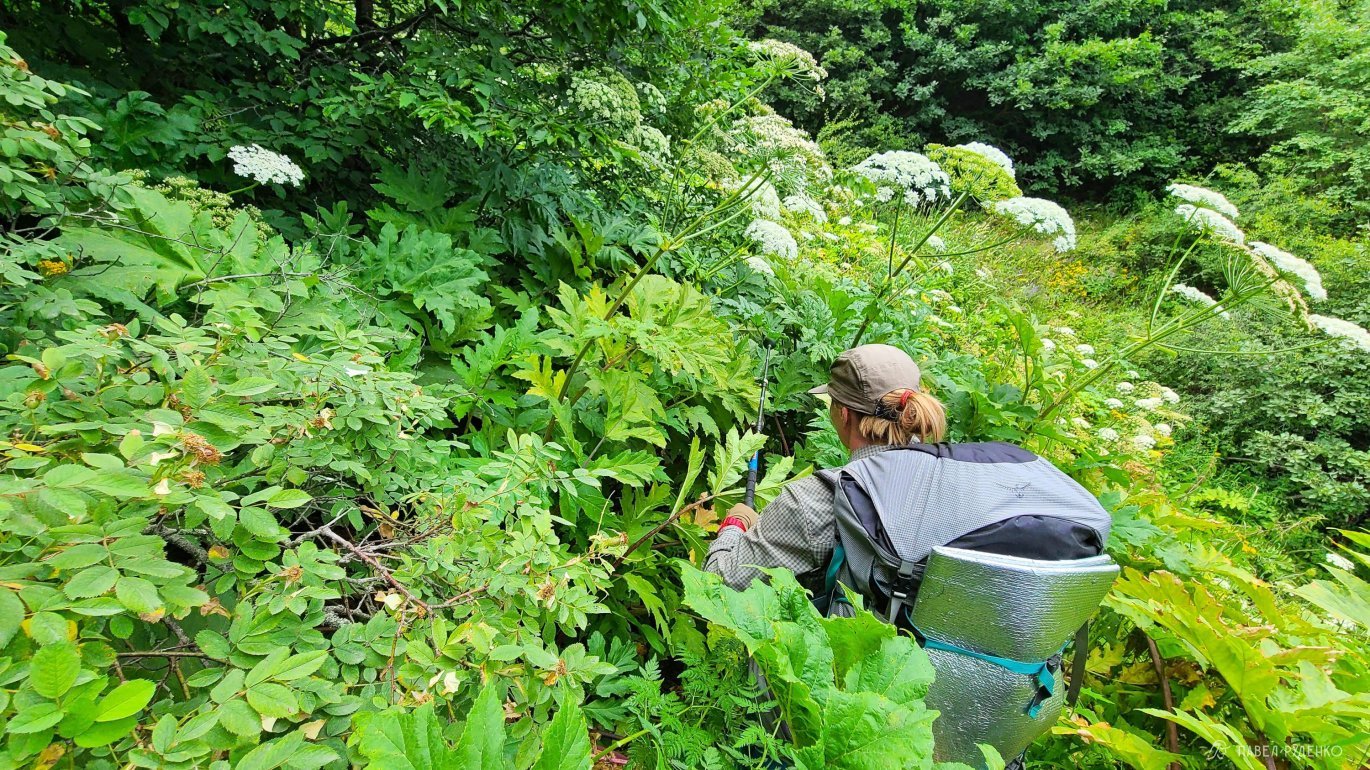
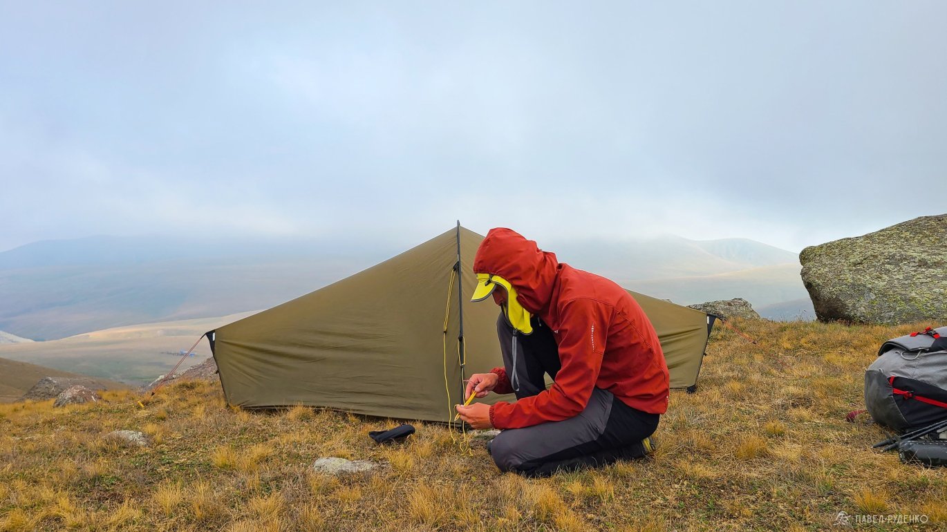
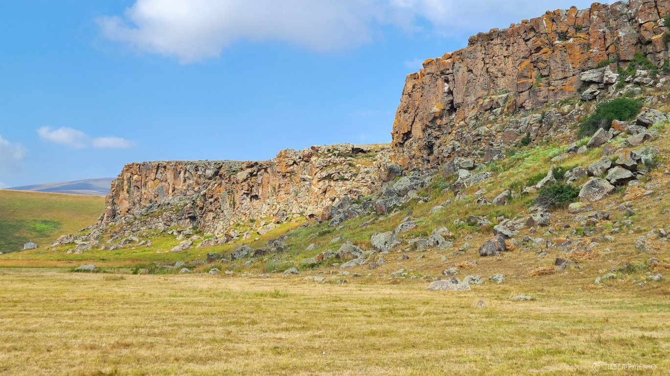
On the Transcaucasian Trail, there are no problems with setting up a tent. The fields are state-owned, there are no fences, so I set up camp where it was convenient for me, choosing beautiful places. The main difficulties may only be in mountainous areas like Arevik, where most of the path runs along a mountain trail, where there are not many flat areas for a tent.
In villages and towns, you can stay in guest houses or hotels. Guest houses, in my taste, of course, are more interesting, they are comfortable, often dinner is included in the price, and the hostess prepares a nutritious and often tasty meal. I looked on Booking, it's not blocked in Armenia.
Water on the route
Here there are no many rivers from which you can drink clean water and cool off in the heat)) There are small streams that are often literally 10-20 cm wide and overgrown with grass. In June, there is still enough water, but with the onset of hot summer, they dry up and you will increasingly have to play it safe and take water in reserve.
Due to the large number of livestock on the pasture, I highly recommend using a water filter. You won't be boiling water in +30-+40 to drink something hot in the heat, and you'll need a lot of water)
There will be special troughs with spring water, it's cold and clean, a real joy on the route. You can always ask for water in the villages from the local population.
The Transcaucasian Trail team has canceled all water sources on the OSM map, so you can navigate them quite well.
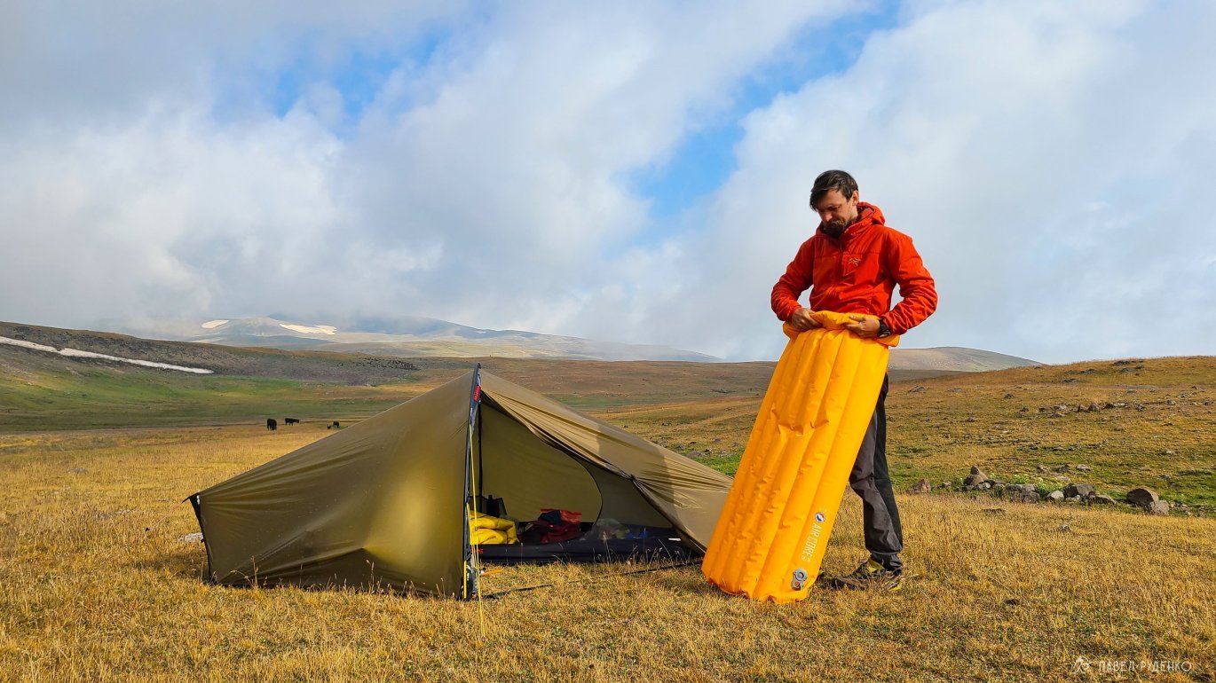
Gear
Bivouac
Hilleberg Enan Tent - 1.200 grams.
Splav Graviton Light Sleeping Bag +6C - 505 grams.
Big Agnes Air Core Ultra 1.4 Rvalue Mat - 510 grams.
Sirex 4mm Foam Pad - 70 grams.
Big Agnes Rapide SL Pillow - 50 grams.
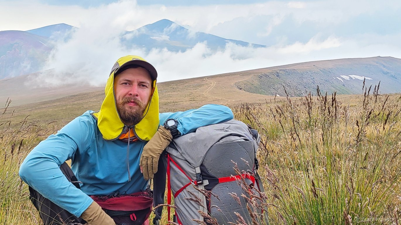
Osprey Aether PRO 70L Backpack - 1550 grams.
Clothing in the backpack
Sivera Gvor Pro Membrane Jacket - 187 grams.
Sivera Murash Softshell Jacket - 243 grams.
Arcteryx Proton LT Insulated Jacket - 375 grams.
Sivera Geta P Thermal Pants - 94 grams.
Dexshell Membrane Socks - 100 grams.
Decathlon Trekking Socks - 41 grams.
Buff - 38 grams.
Clothing on me
La Sportiva Boulder X Hiking Shoes - 950 grams.
Decathlon Softshell Pants - 300 grams.
Sivera Geta D T-shirt - 105 grams.
Outdoor Research Sun Runner Cap - 79 grams.
Outdoor Research Gaiters - 49 grams.
Decathlon Gloves - 23 grams.
Klattermusen Fimmafag 4.0 7L Waist Bag - 430 grams.
Decathlon Socks - 41 grams.
Leki Khumbu Trekking Poles - 554 grams.
Decathlon Underwear - 52 grams.
Kitchen
Integrated Jatboil Stash system burner + pot - 200 g.
Folding fork - 15 g.
Brewing egg - 5 g.
Hydropack bottle 4L - 110 g.
Decathlon drinking system 1L - 80 g.
Katadyn BeFree filter - 61 g.
Hygiene
Tongue brush, rosary, tooth powder, scissors, heel grater - 75g.
Electronics
Samsung Galaxy S 22 Ultra phone - 228 g.
Power Bank Nitecore 20.000 - 324 g.
Tripod 120cm - 450 g.
Garmin etrex 20x navigator - 100 g.
Moskompas compass - 38 g.
Casio Pro Trek watch - 70 g.
Organize backpack valve - 160 g.
Pocket x7 monocular - 45 g.
