
TRAIL SECTION RATINGS
Scenic and Notable Locations
For those with limited trek time who are considering how to shorten the route, here is a breakdown and rating of the trail sections. From the trailhead in Geyikbayırı all the way to the end of the eastern section in Karaöz. To give you a clear sense of the terrain, clickable link buttons to Google Earth panoramas are included. You can also check out photos on my Instagram.
5 out of 5. Geyikbayırı — Climbing base
2 out of 5. Geyikbayırı — Göynük section
5 out of 5. Göynük Canyon
5 out of 5. Göynük — Tahtalı Pass
5 out of 5. Tahtalı Dağı Pass
3 out of 5. Tahtalı Pass — Ulupınar
5 out of 5. Ulupınar to Çıralı
5 out of 5. Bay with a swing north of Çıralı
3 out of 5. Çıralı — Adrasan
4 out of 5. Adrasan — Karaöz
5 out of 5. From Tekirova north to Alacasu Beach
5 out of 5. Geyikbayırı — a rock climbing base with gear rental. Climbing style: sport/lead; season: September through April. A huge number of routes, over 1,300. Plenty of camps, including The Land, Climber’s Garden, and Rido Camping. Reachable by bus in an hour from the central bus station (otogar) in Antalya. It's a popular hub with plenty of information available.
2 out of 5. The Geyikbayırı — Göynük section can be skipped by taking transport. It's a 2-day hike with fairly ordinary views; you will encounter identical scenery further along.
5 out of 5. Göynük Canyon is a must-visit. You can enter for free along the left bank of the river from the town of Göynük. Wetsuit rentals are available (around 600 RUB). You can wade and swim into the canyon gorge through stunning ravines, taking about 4–5 hours. I ran out of time and couldn't do it, which I truly regret. Keep in mind the water is around +6 °C. If the air temperature drops below +20 °C and it's cloudy, it will feel chilly.
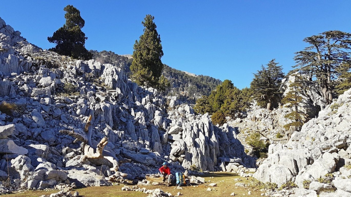
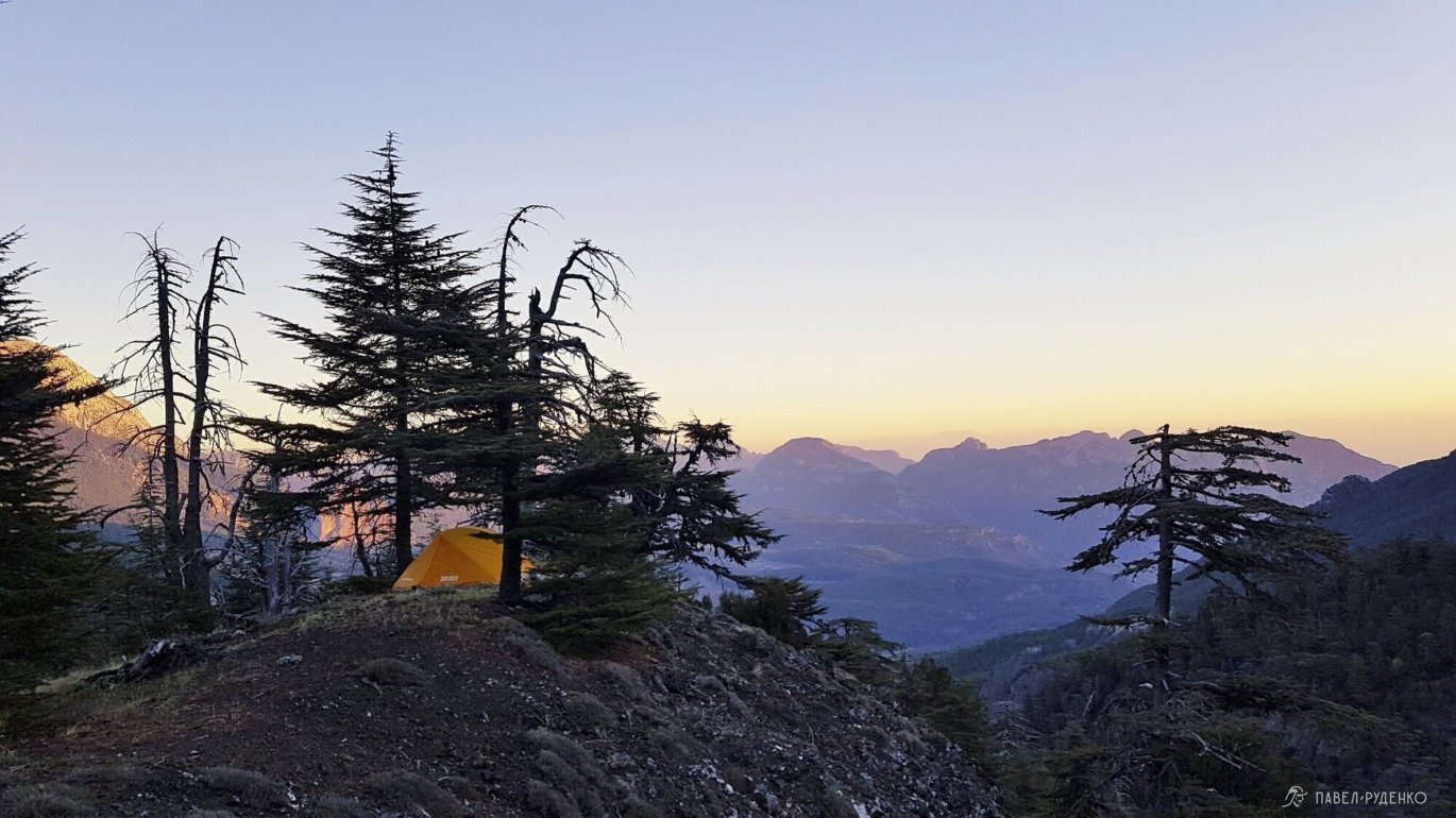
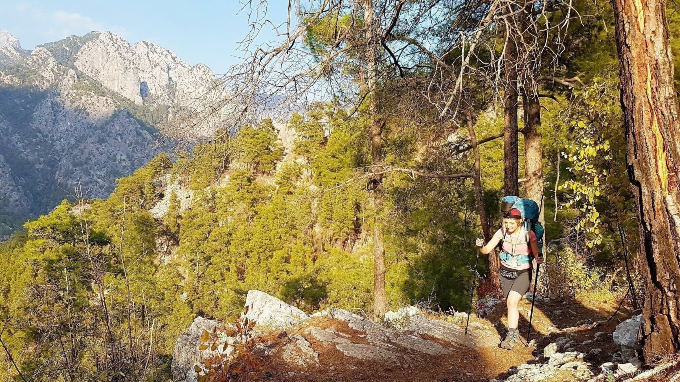
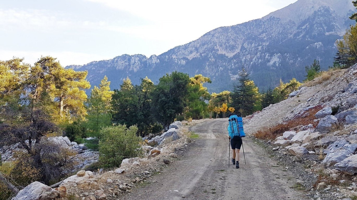
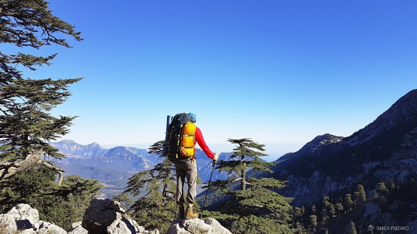
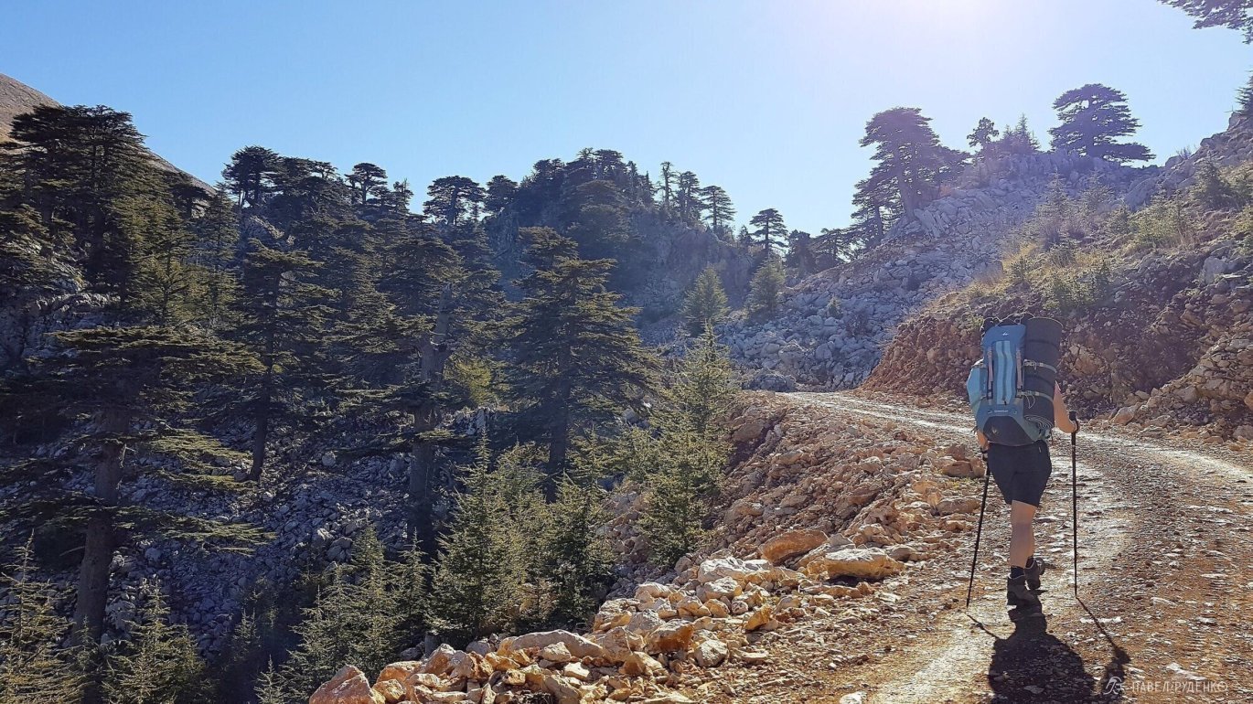
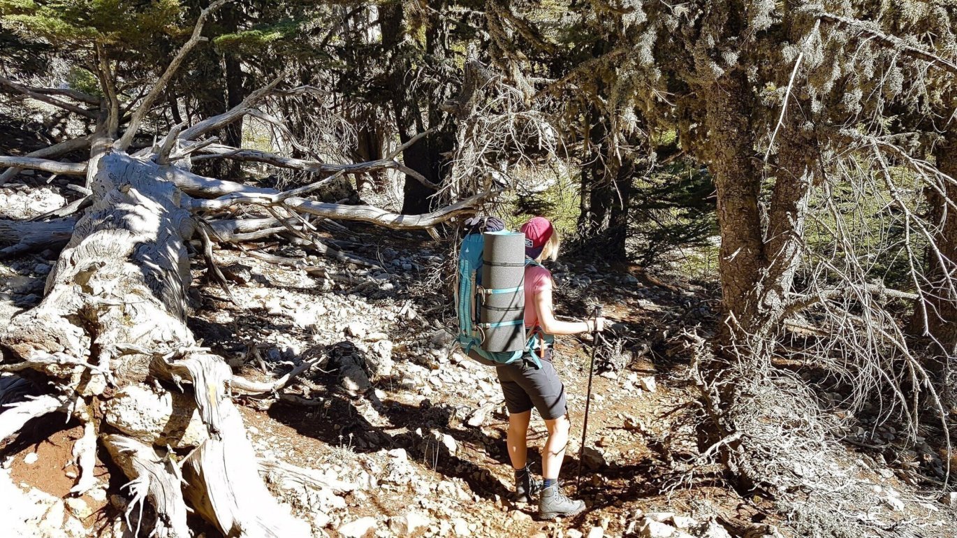
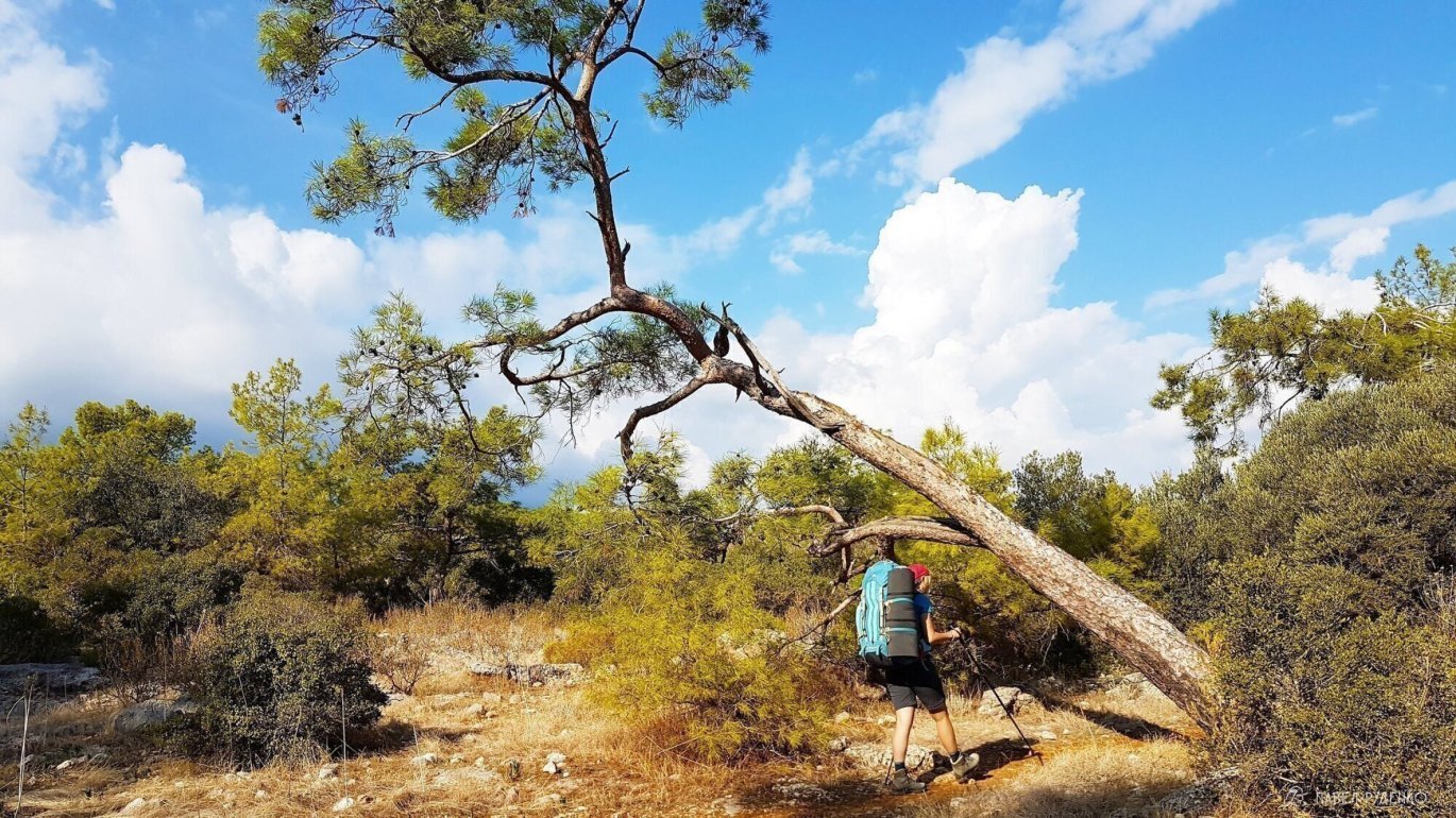
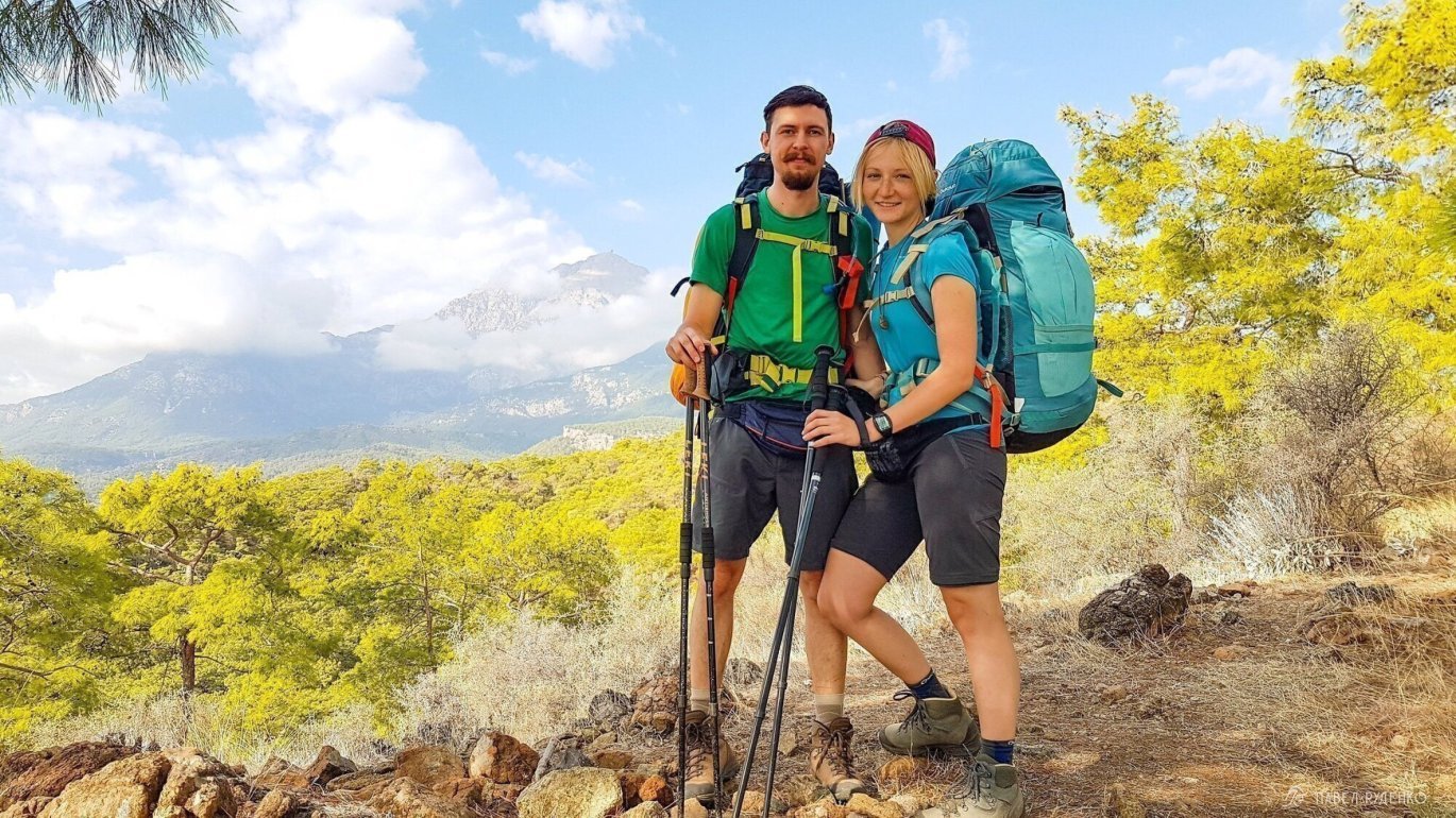
5 out of 5. Göynük — Tahtalı Pass. The most scenic and rewarding approach to the Tahtalı Pass—the main reason to hike the eastern route. It is a long, steady ascent with daily changing landscapes, sweeping panoramic views, and lush greenery. Photos from this section:
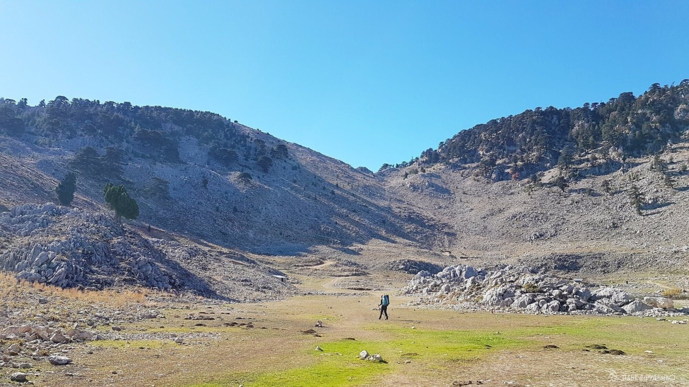
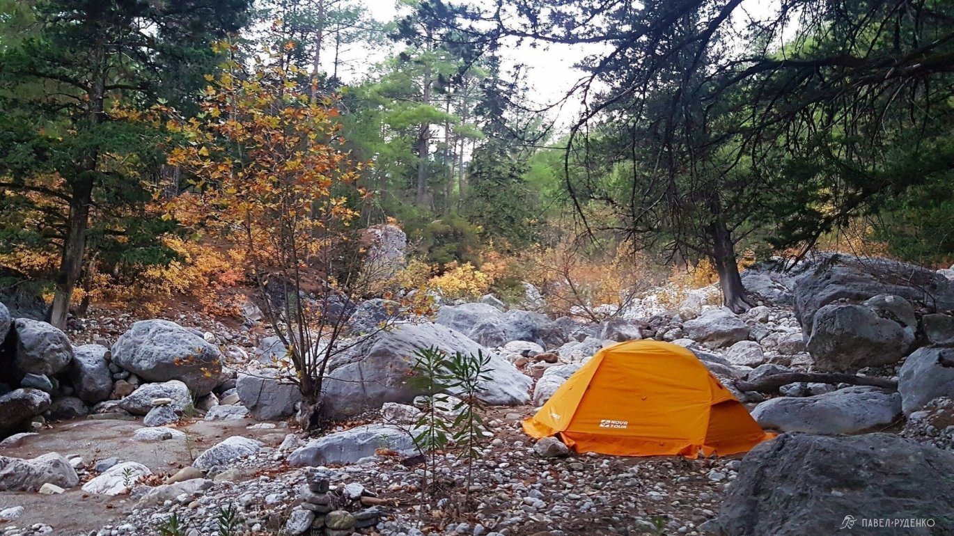
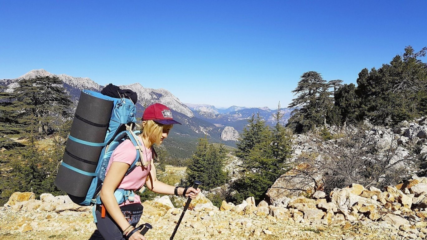
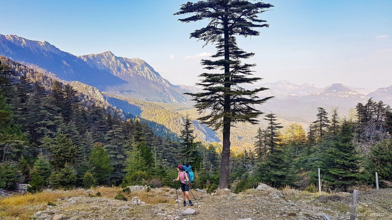
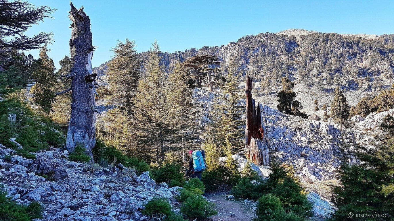
5 out of 5. Tahtalı Dağı. I decided not to summit; I honestly didn't see the point: fences at the top, artificial green turf, a restaurant, and crowds of beach tourists with selfie sticks arriving via the cable car. A pristine natural peak completely loses its spirit in such a setup. I spoke with other hikers who summited Tahtalı, and many felt the same. That's why I gave it this rating; if you share this view, hike just shy of the peak, where the views are already breathtaking.
The ascent from the pass to the summit takes about 2 hours: 3 km with 550 m of elevation gain. It is fully rocky with switchbacks; start early in the morning and prepare for strong winds. You can stash your backpack at the pass to travel light. Afterward, you face a long descent with a 1,500 m drop in elevation.
3 out of 5. Tahtalı Pass — Ulupınar. An ordinary section compared to what came before. Because of the long, relentless downhill, you spend most of the time watching your footing and missing the scenery. You can hike down to Beycik and catch a dolmuş (minibus) to Ulupınar, or ride the cable car down from the summit. Photos from this section:
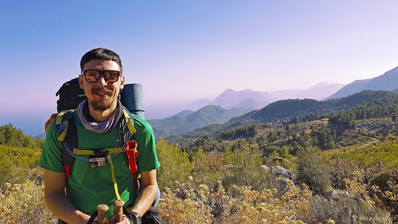
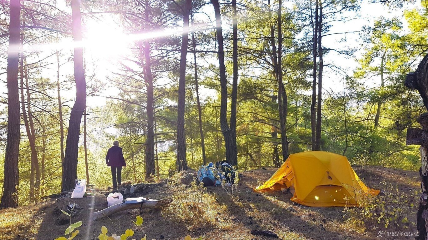
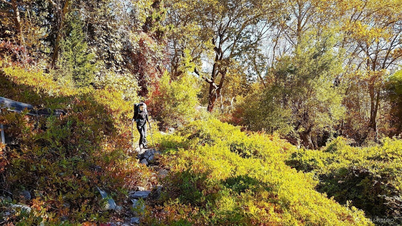
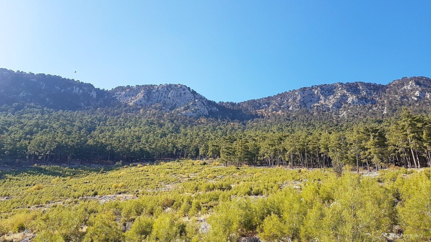
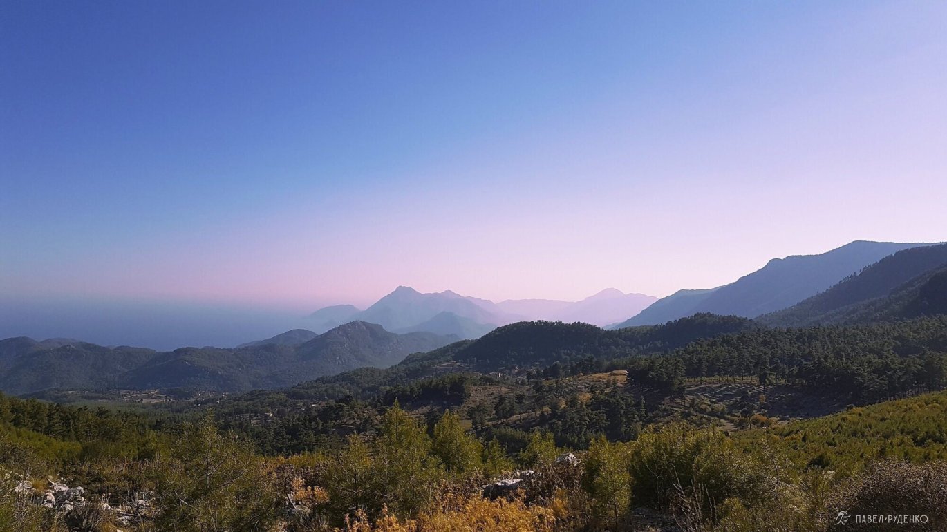
5 out of 5. Ulupınar to Çıralı via the eternal flames of the Chimaera—unbelievably scenic terrain. Photos from this section:
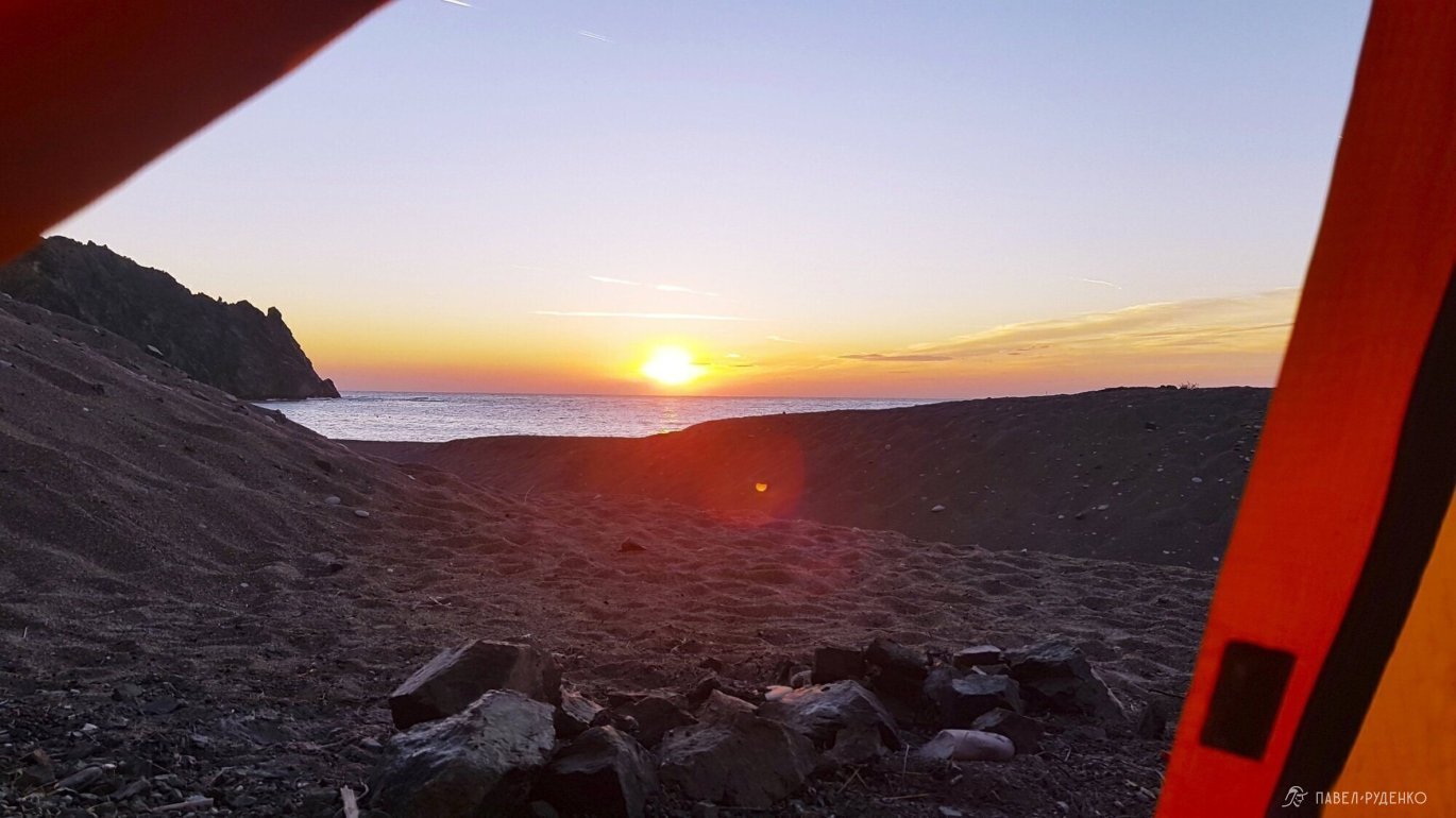
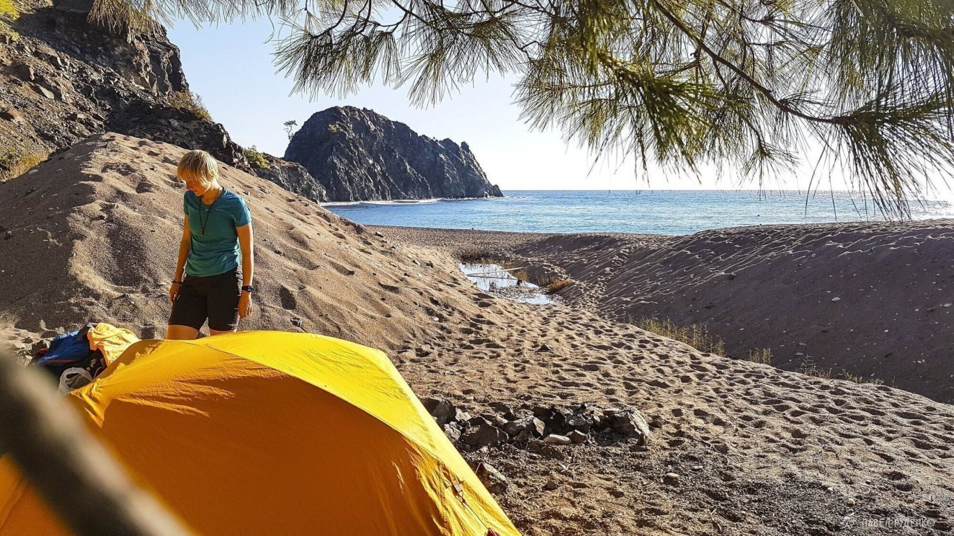
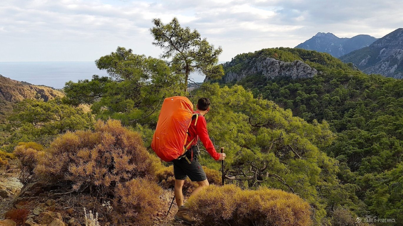
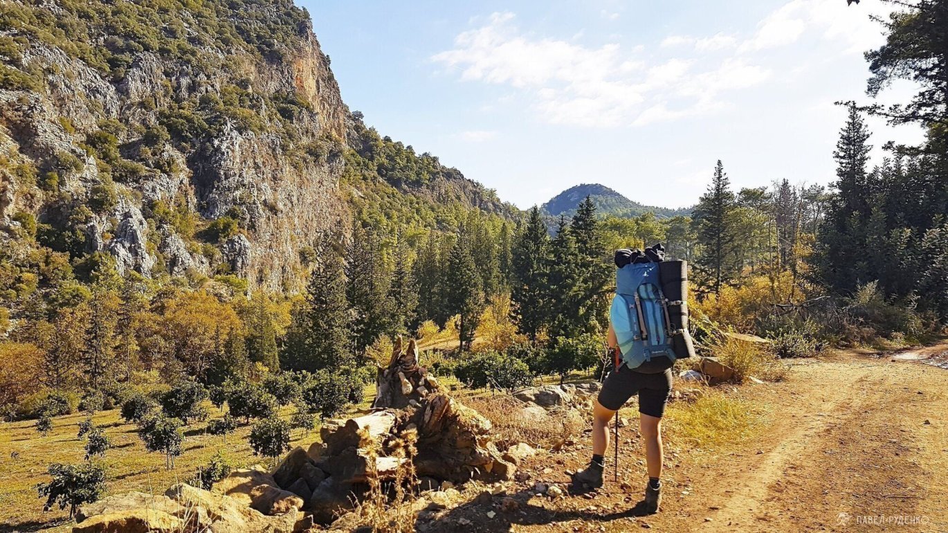

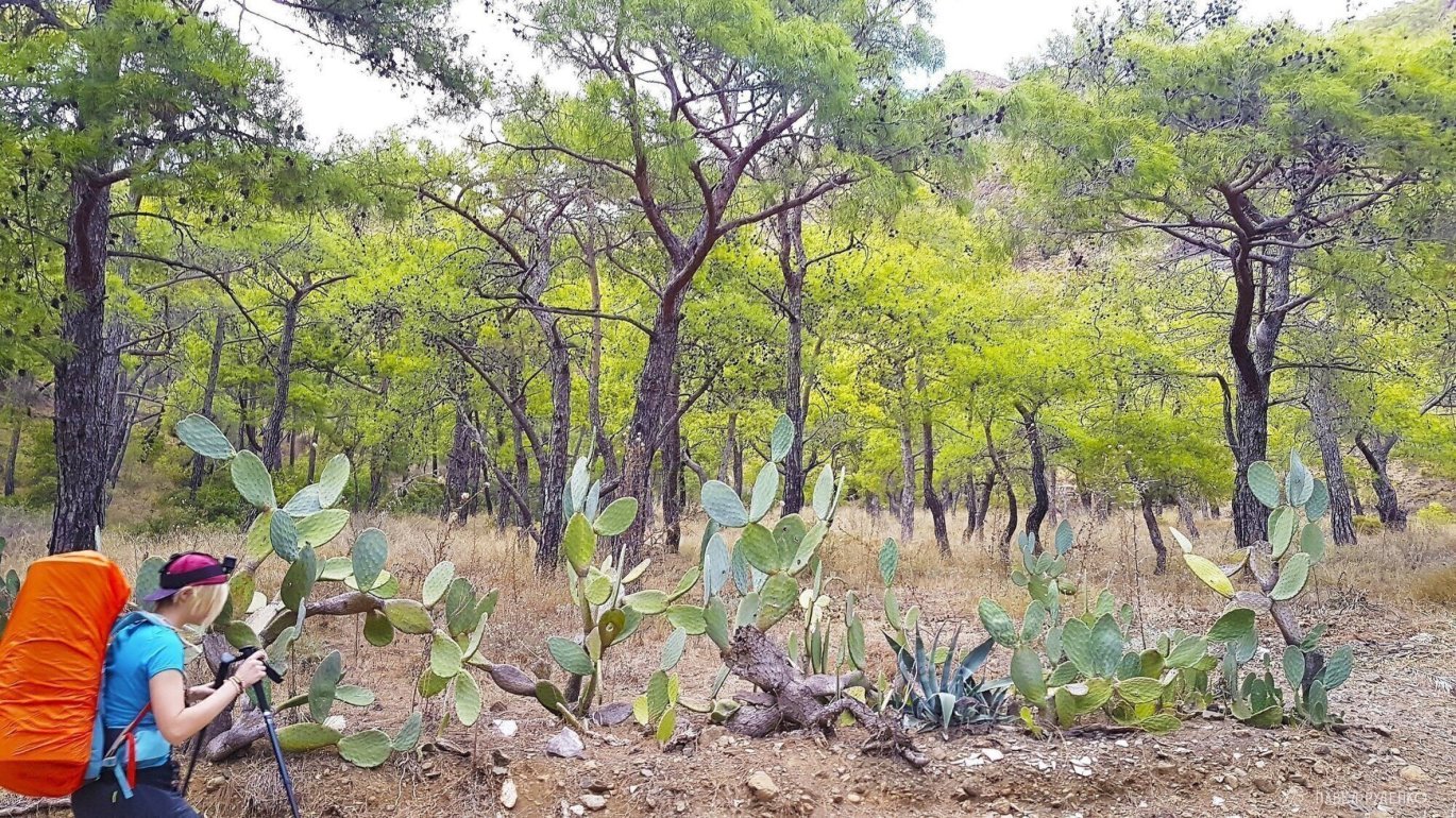
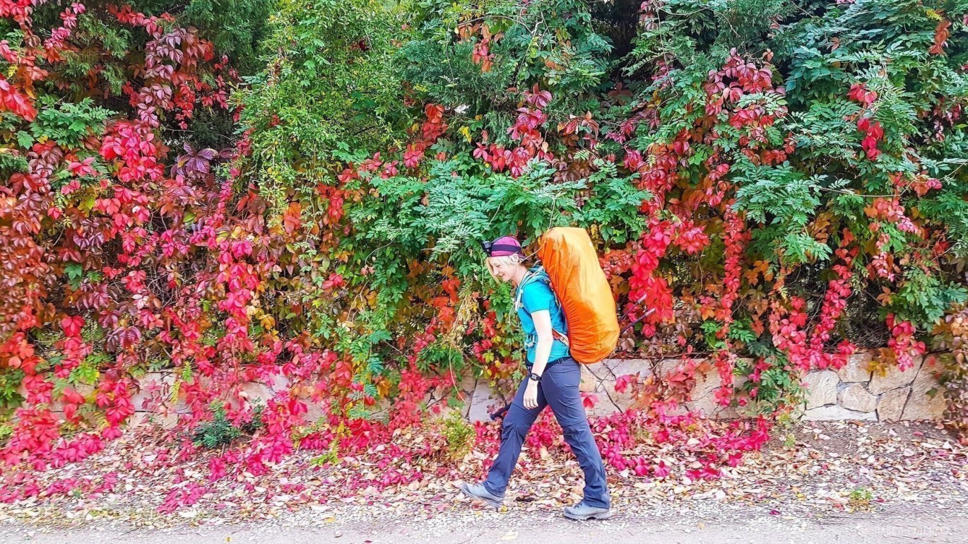
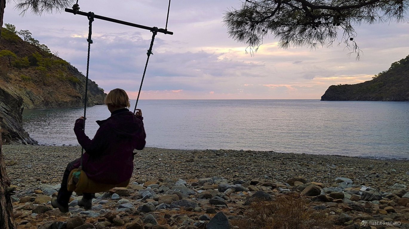
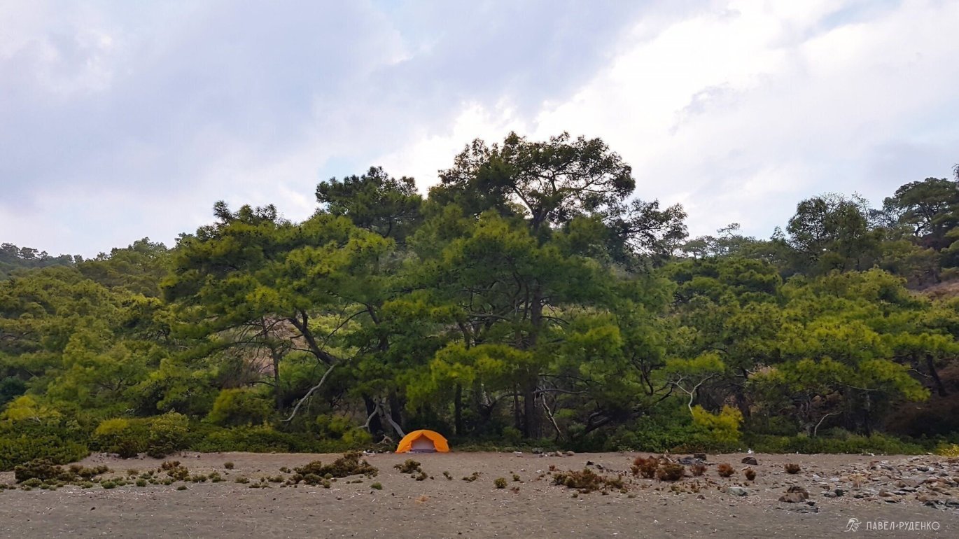
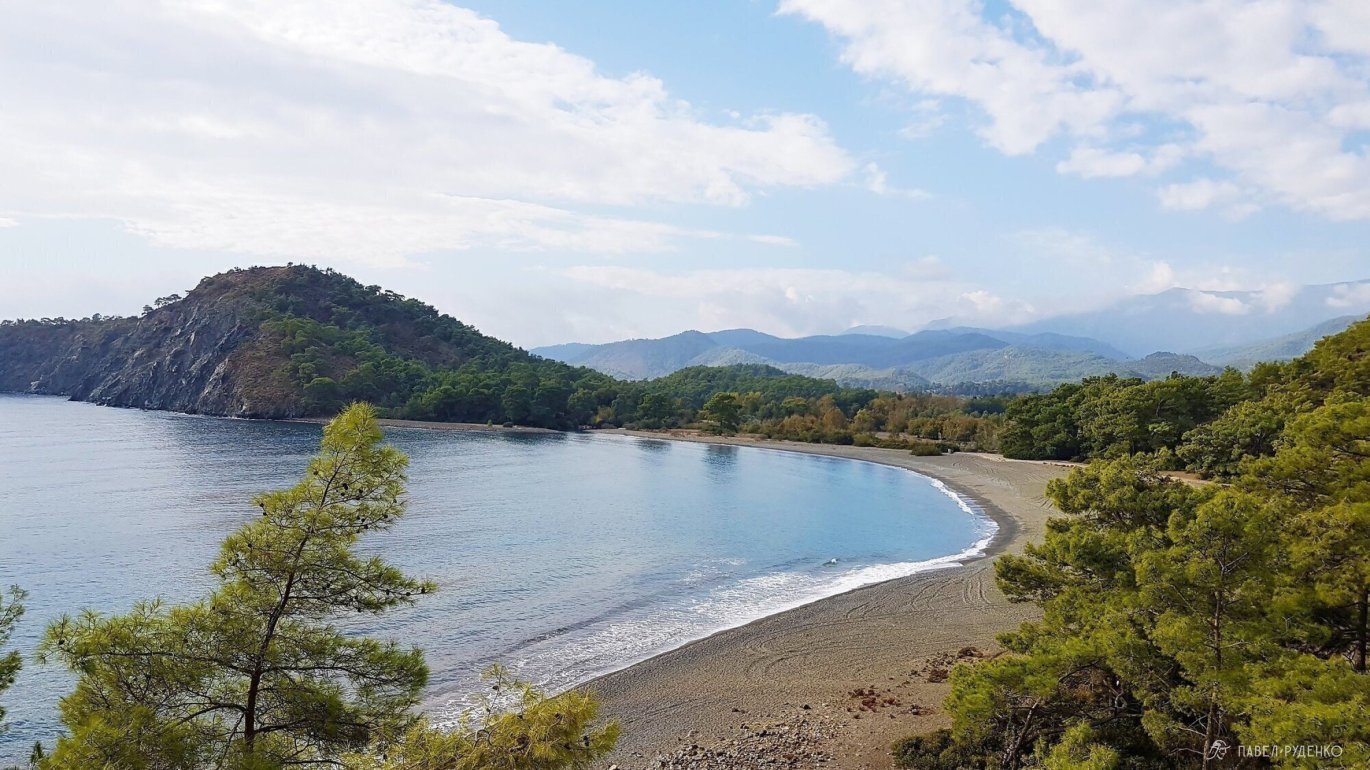
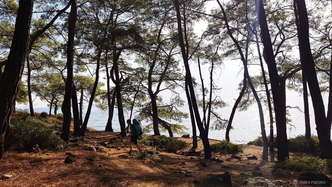
5 out of 5. The bay with a swing north of Çıralı. We dedicated a full rest day here. A rugged, green trail leads there with views over the azure sea. We had the bay completely to ourselves, relaxing in hammocks and swimming. Fresh drinking water is a 20-minute walk toward Tekirova. The wooded area of the bay is slightly littered, but you can find a pristine spot right on the beach.
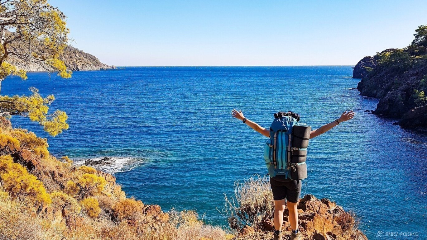
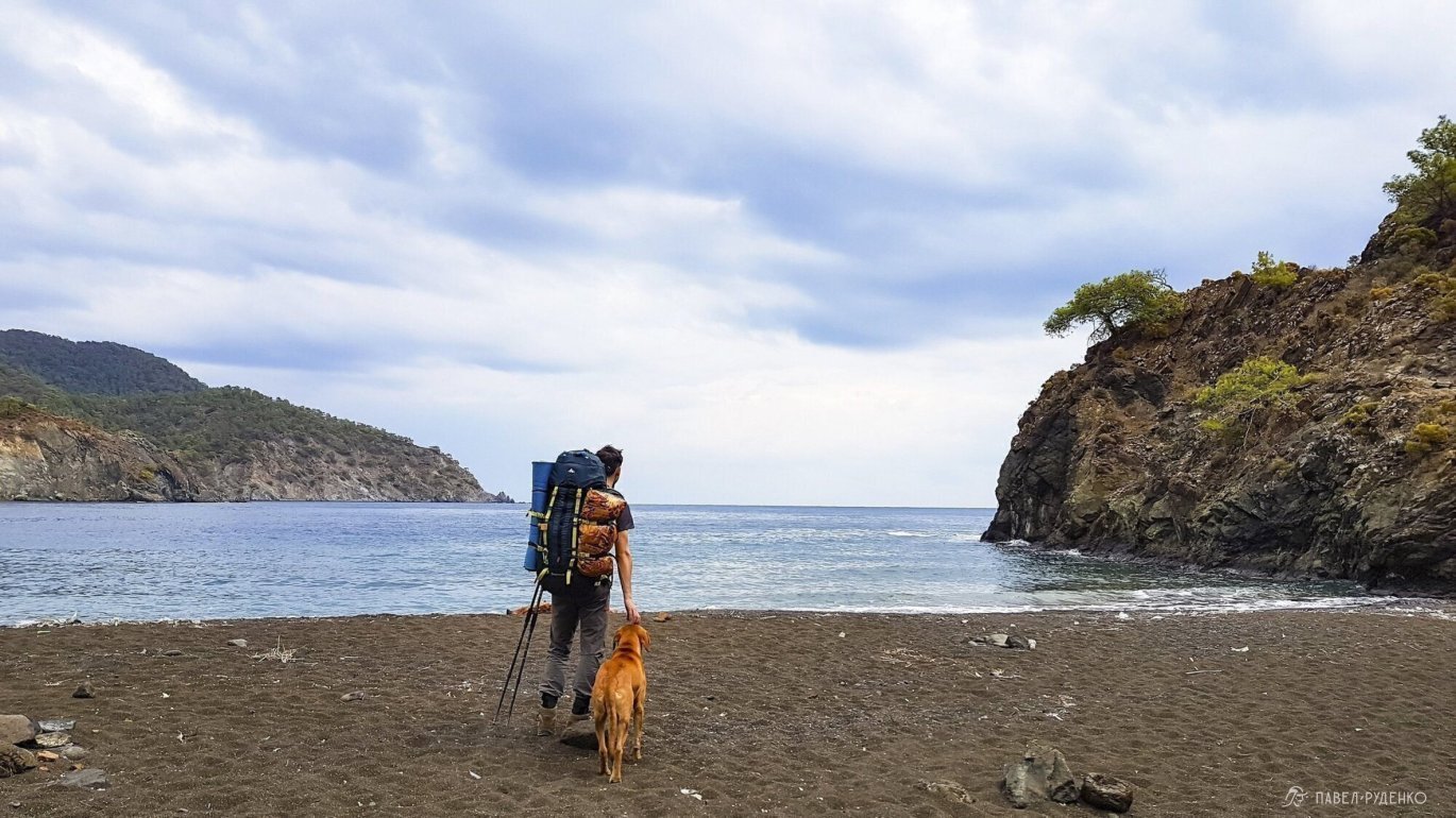
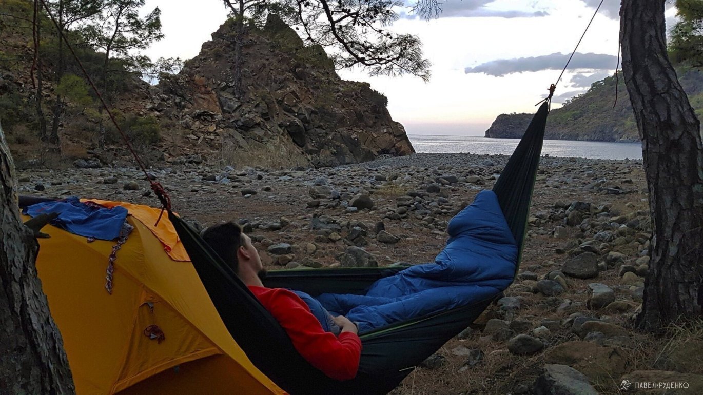
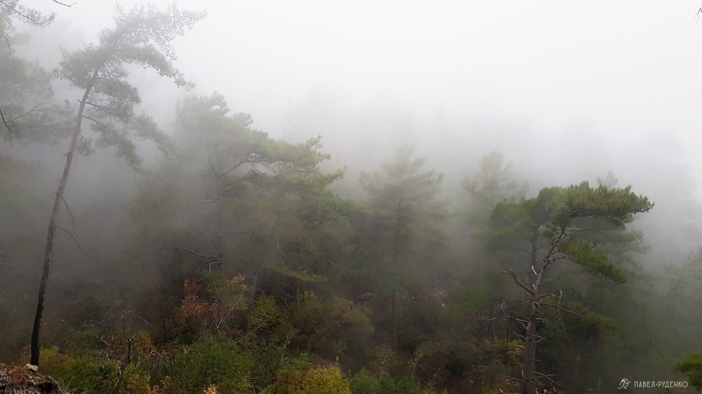
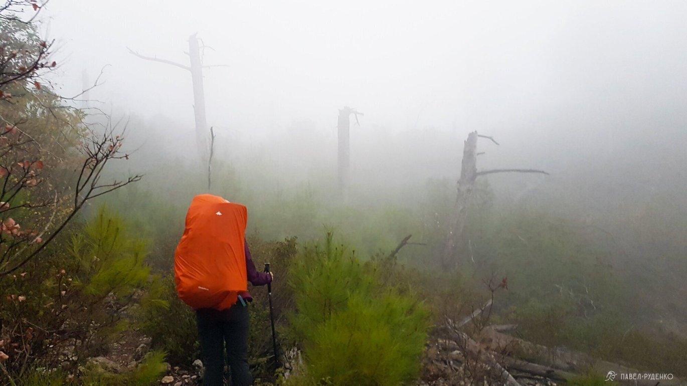
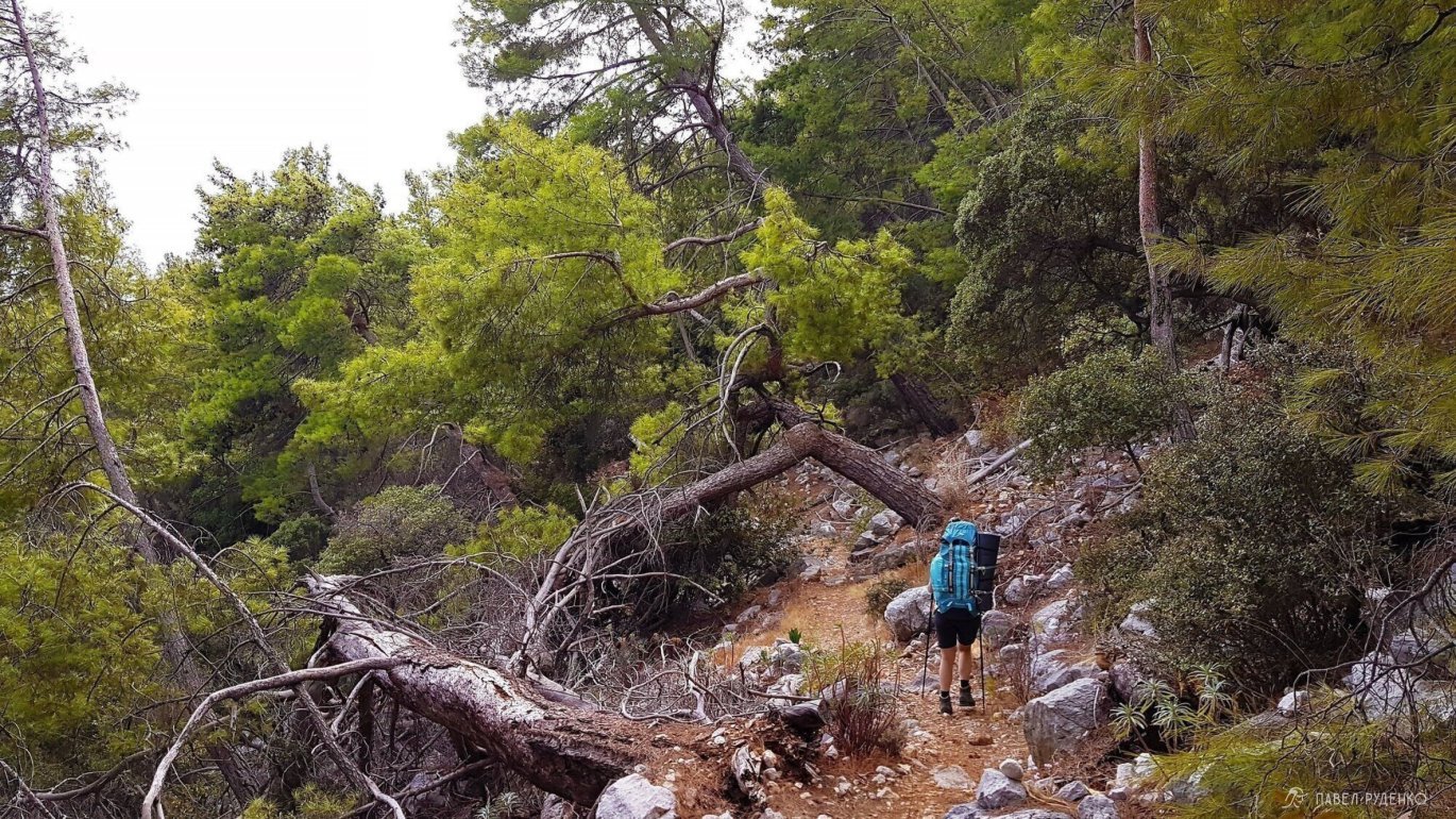
3 out of 5. Çıralı — Adrasan via Mount Olympos. A prime destination for history and antiquity buffs. Elevation difference of 700 m; the ascent and descent lack great views due to dense forest, with all the best sights at the summit. Fallen trees block the trail on the climb, requiring climbing over or under. The only panoramic view overlooks a village packed with greenhouses. If pressed for time, skip this and take the trail to the lighthouse instead. Photos from this section:
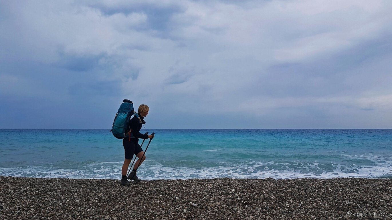
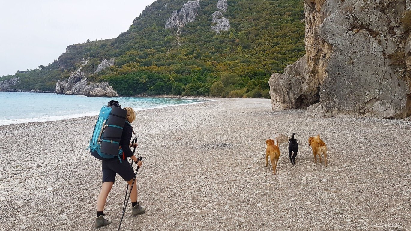
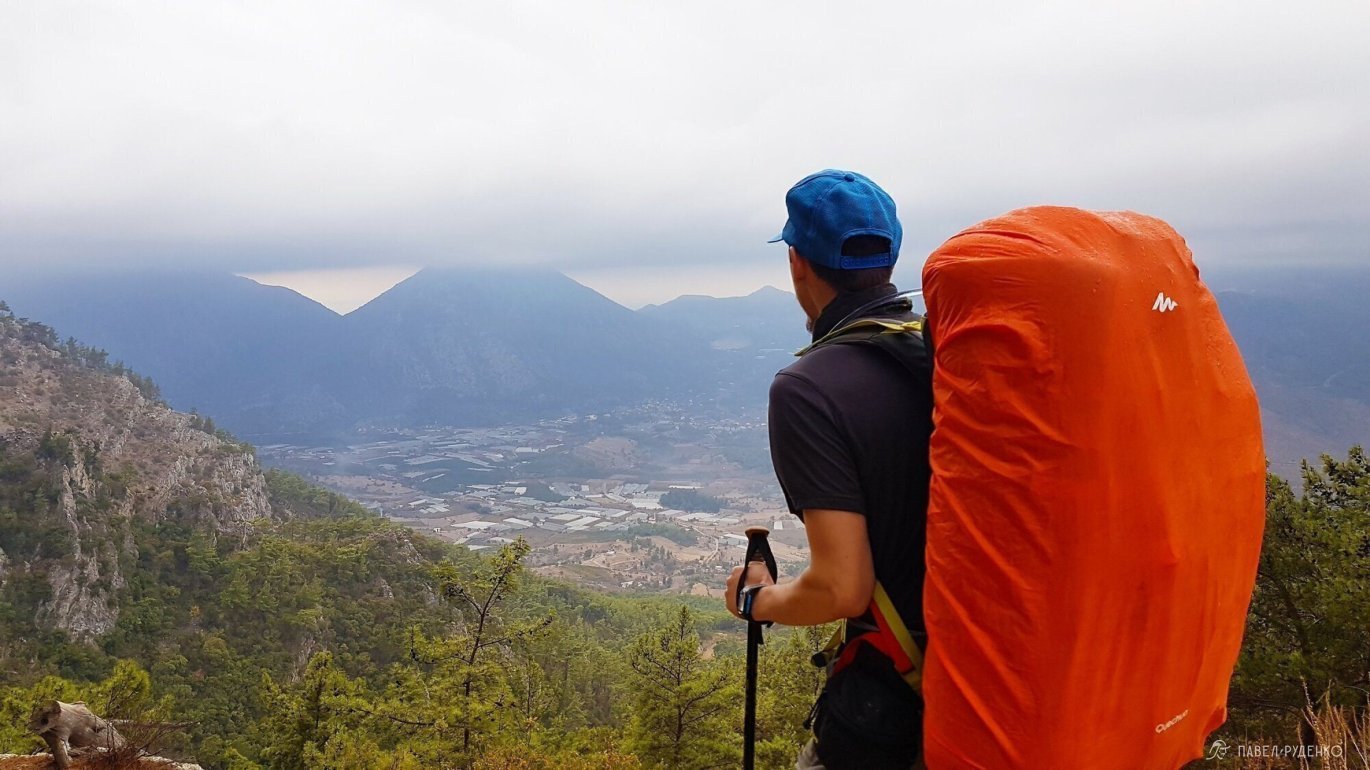
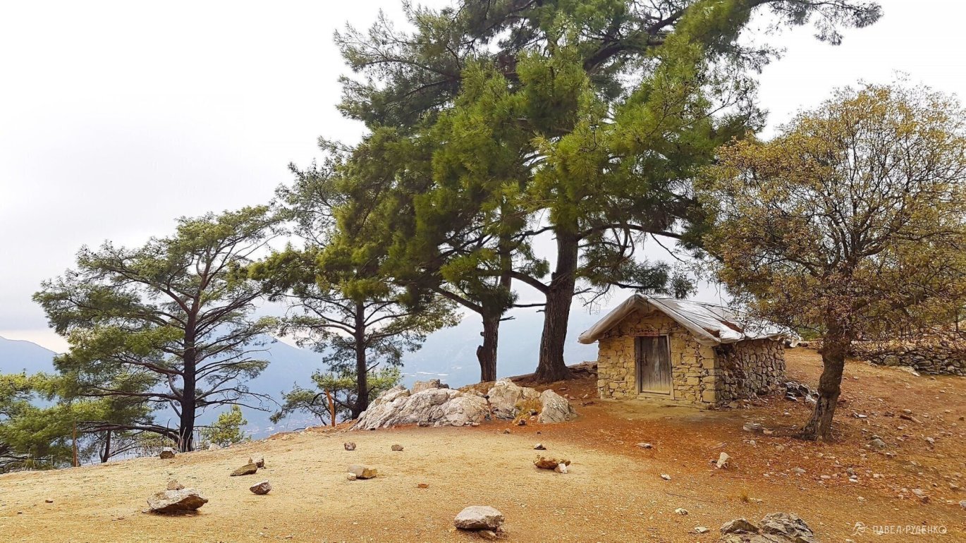
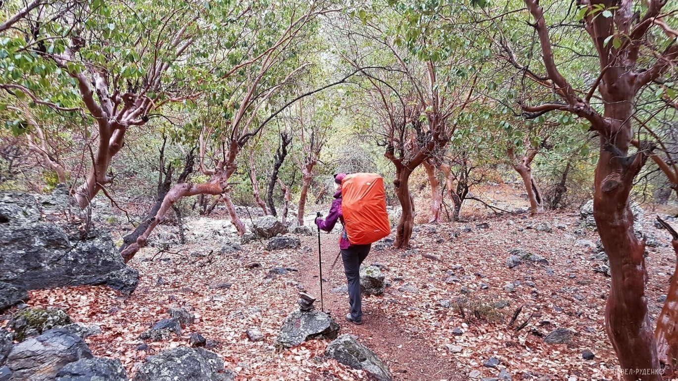
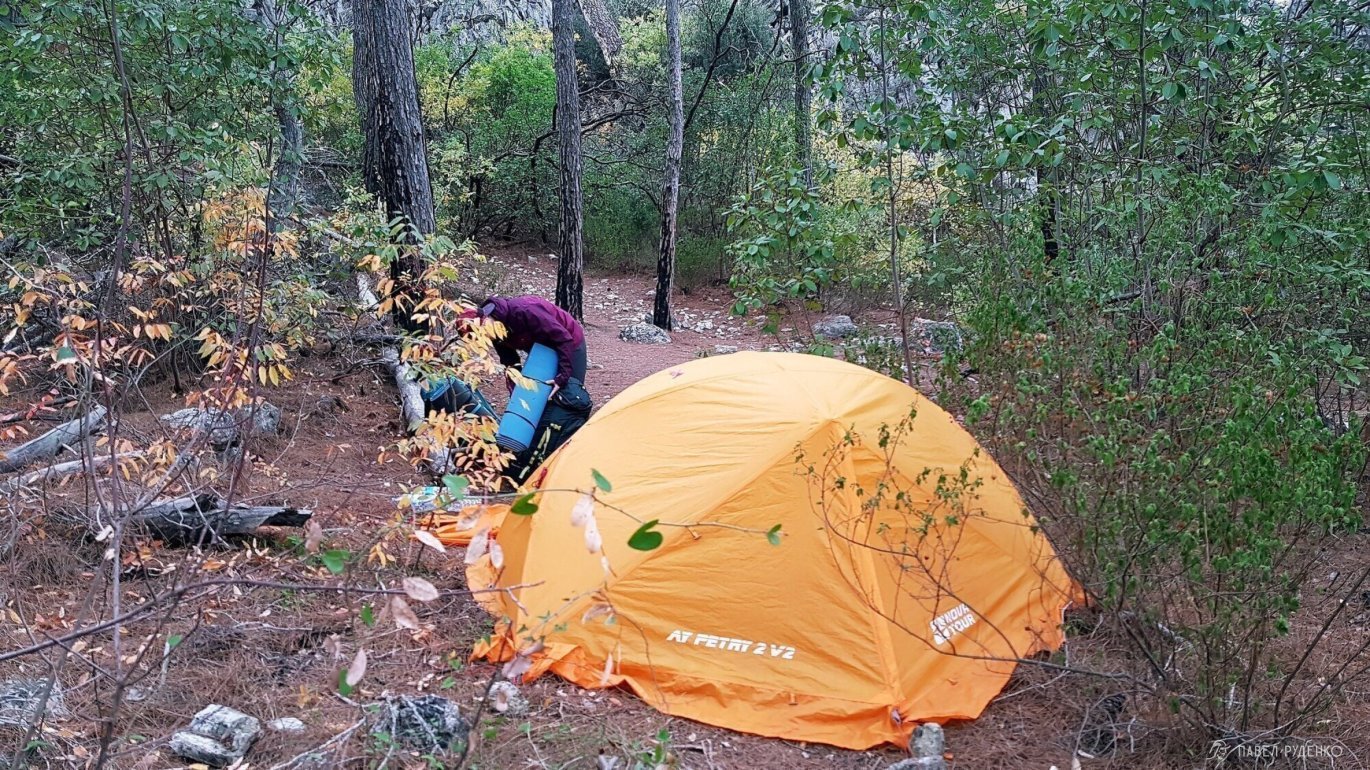
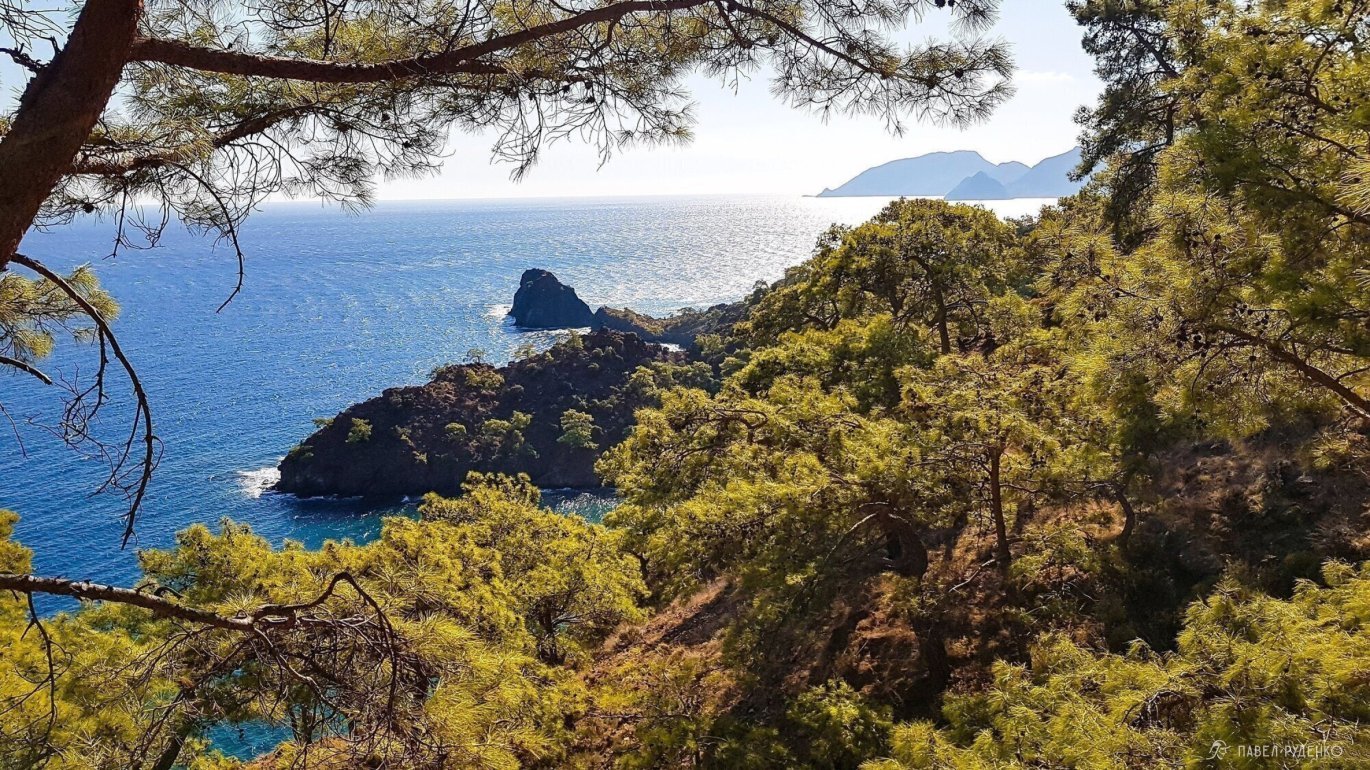
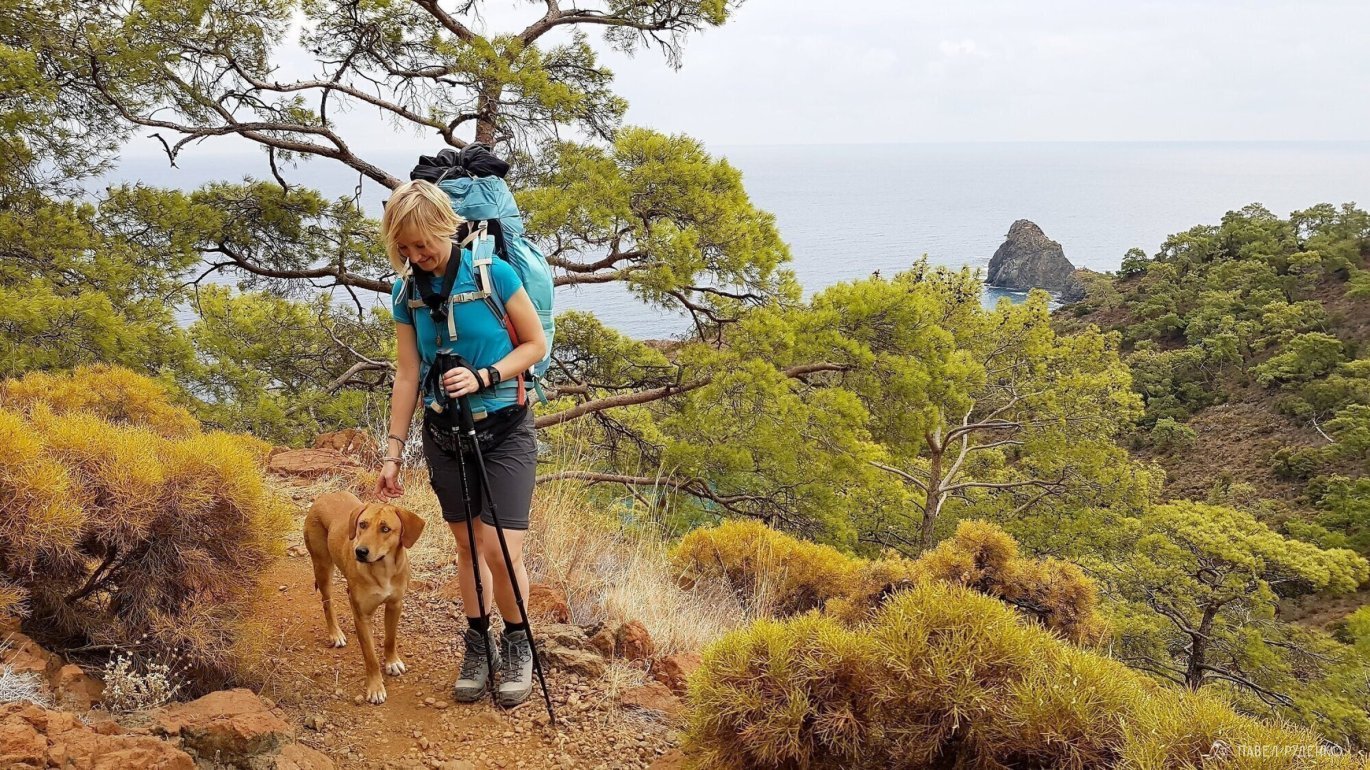
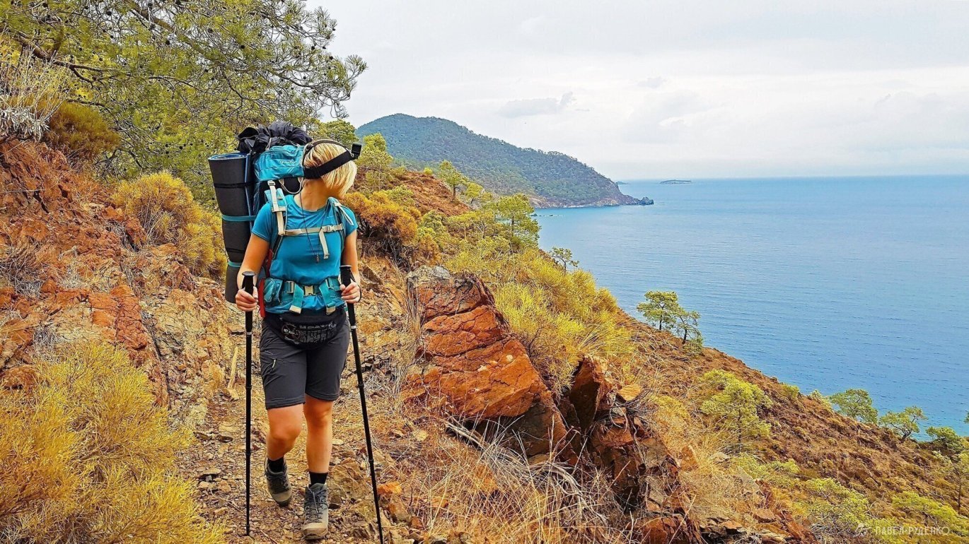
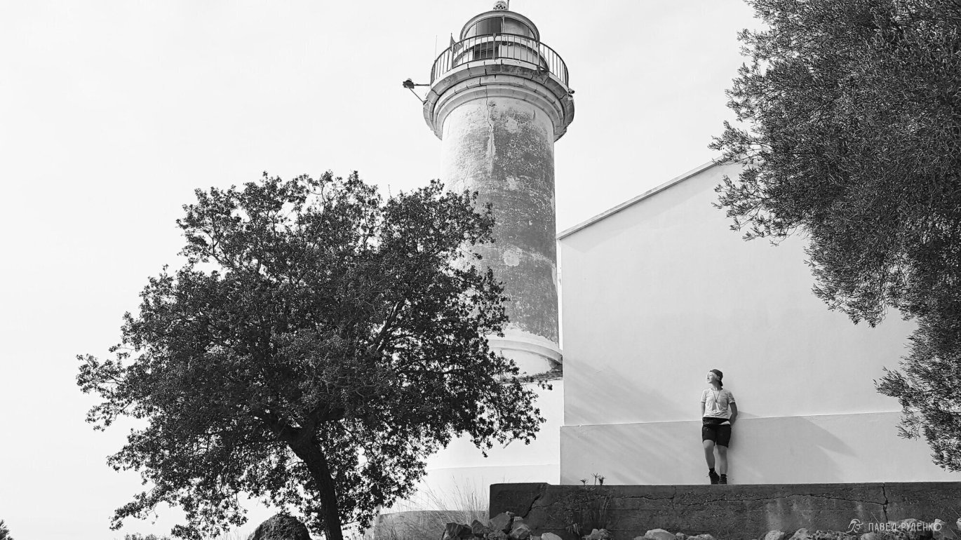
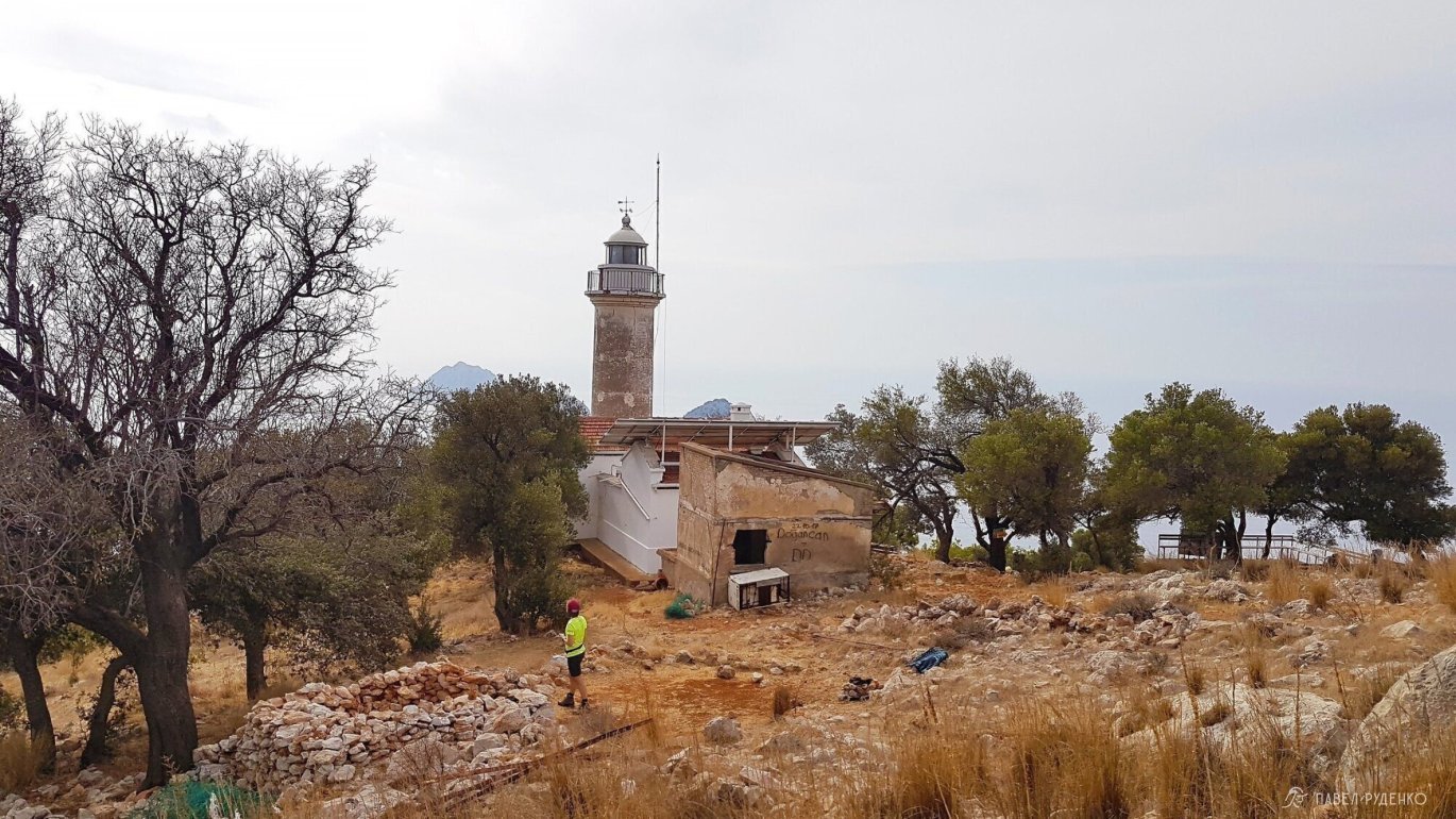
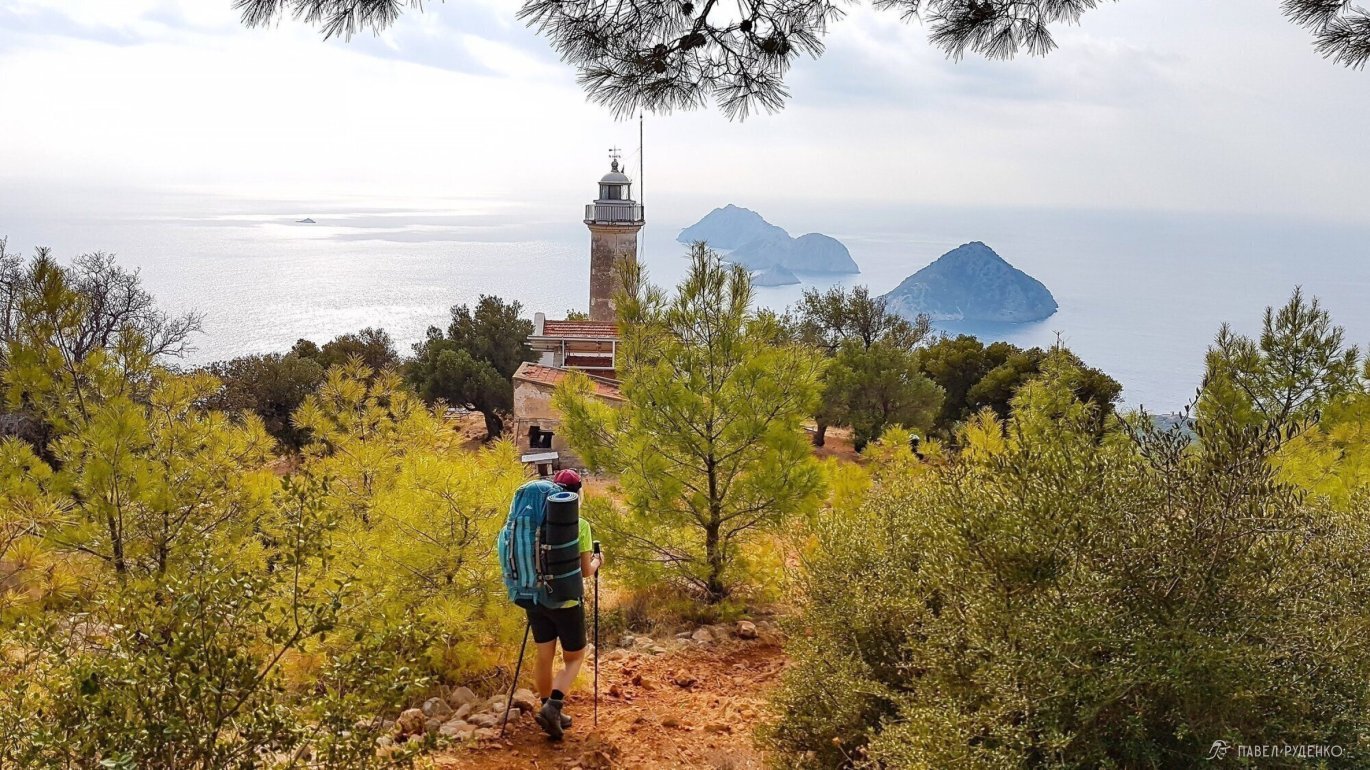
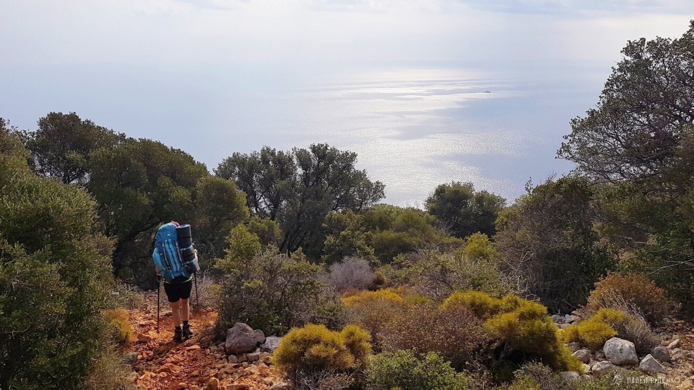
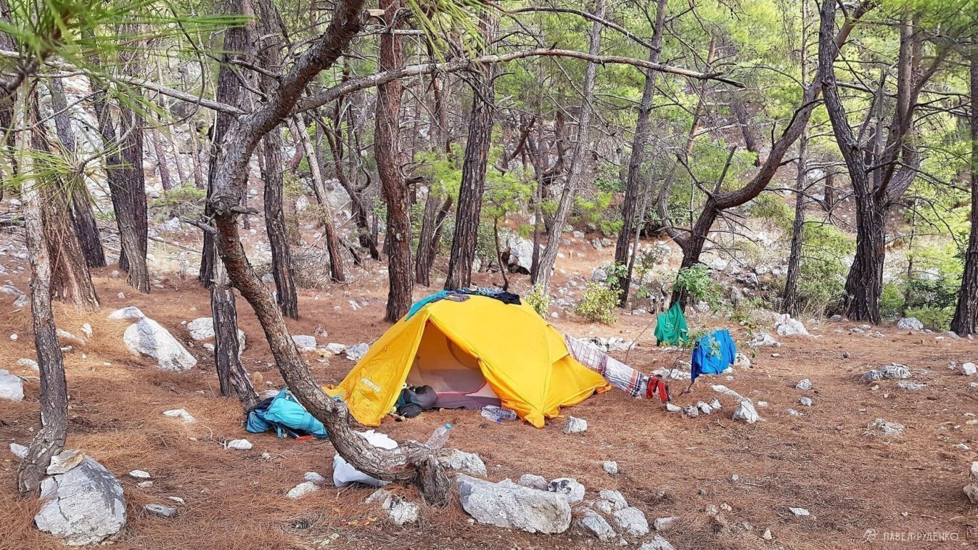
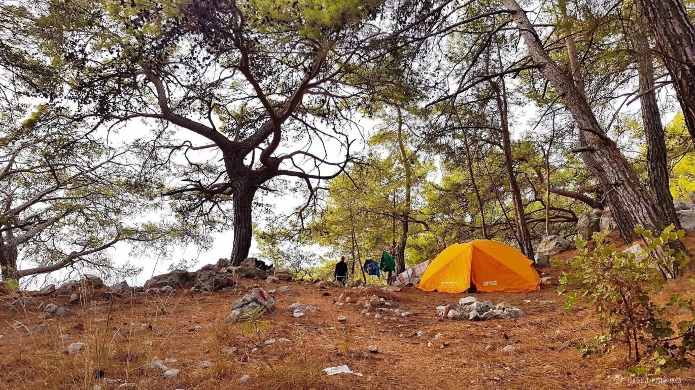
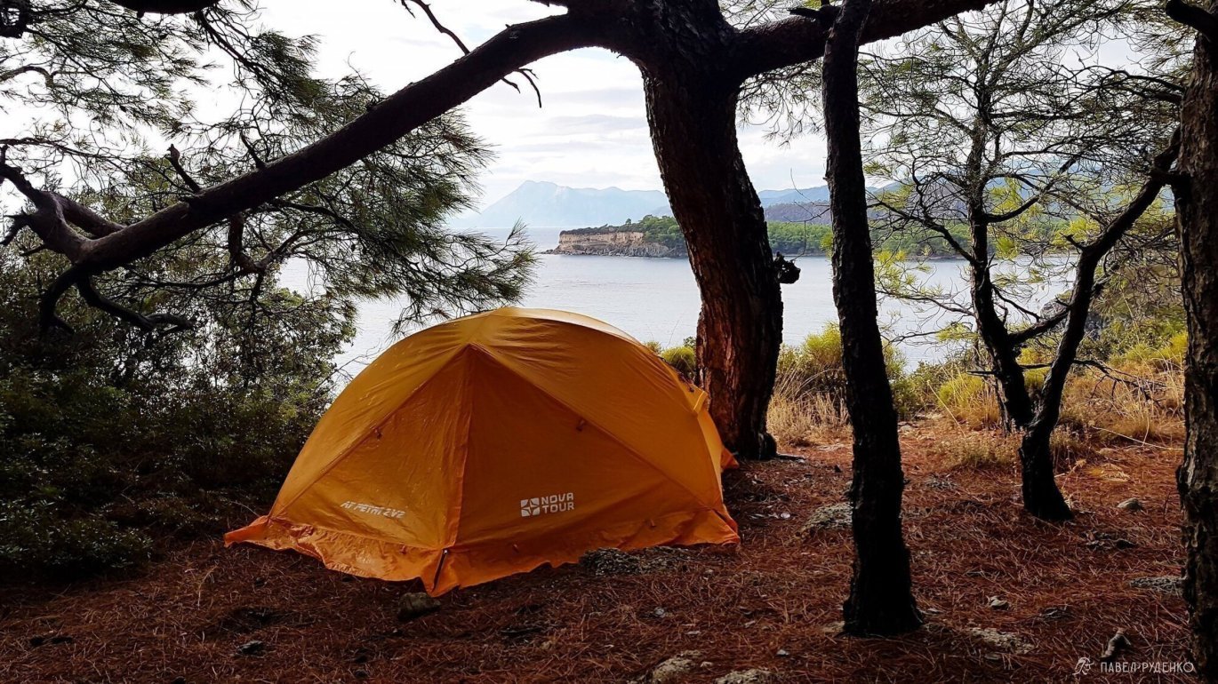
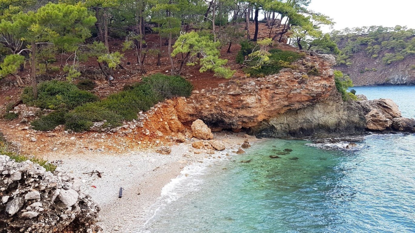
4 out of 5. Adrasan — Karaöz. A long trail with undulating ascents and descents leading to the lighthouse. The most stunning scenery unfolds between the lighthouse and Karaöz, so if short on time, hike from Karaöz and loop back rather than starting from Adrasan. The open sea vistas are extraordinary. Below the trail lies a secluded cove with a rocky beach; I wanted to fetch water and camp down there for a few days, but plans didn't align. The area right around the lighthouse was quite littered, though picturesque. Pitching your tent elsewhere along the trail is a better choice. Weekends draw crowds of locals, so plan your lighthouse visit on a weekday. From Karaöz, a minibus leaves at 13:00 for the bus station in Mavikent, where you can catch a bus back to Antalya. Photos from this section:
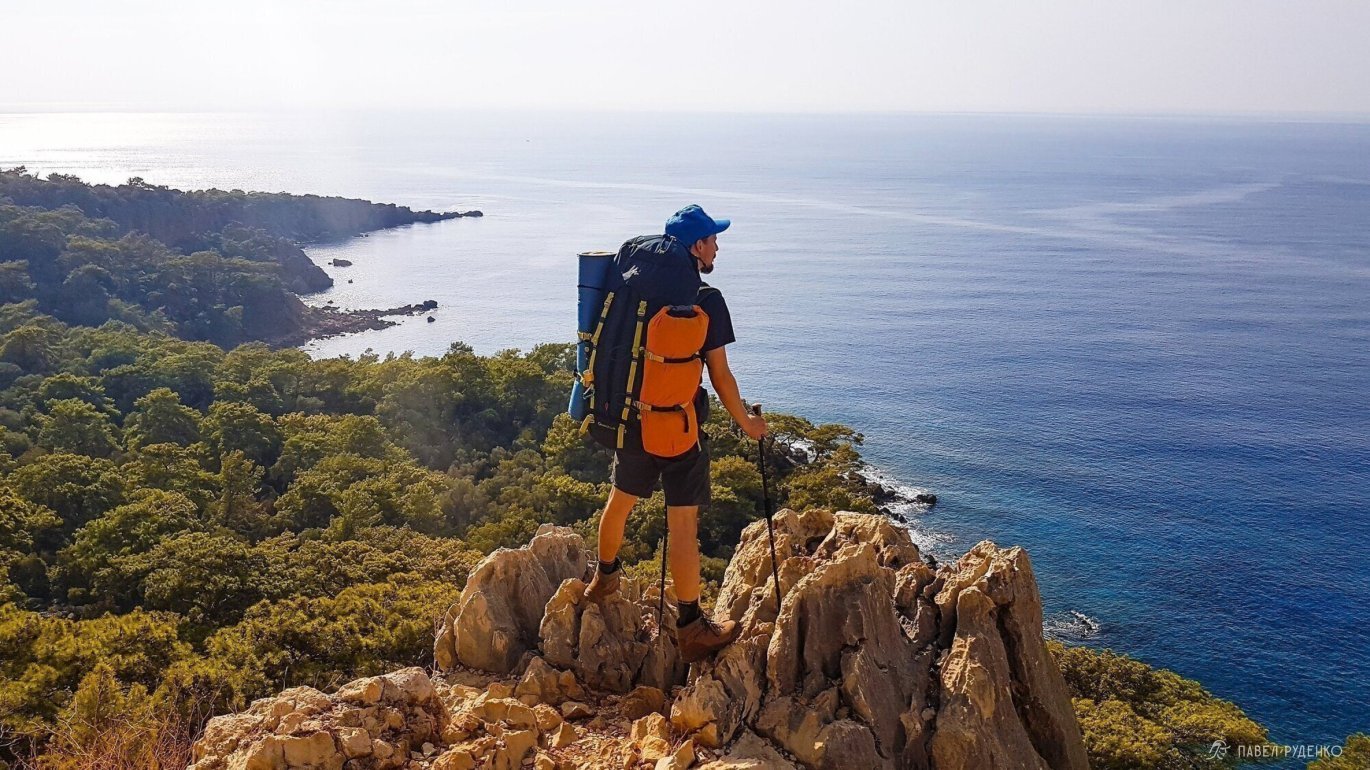
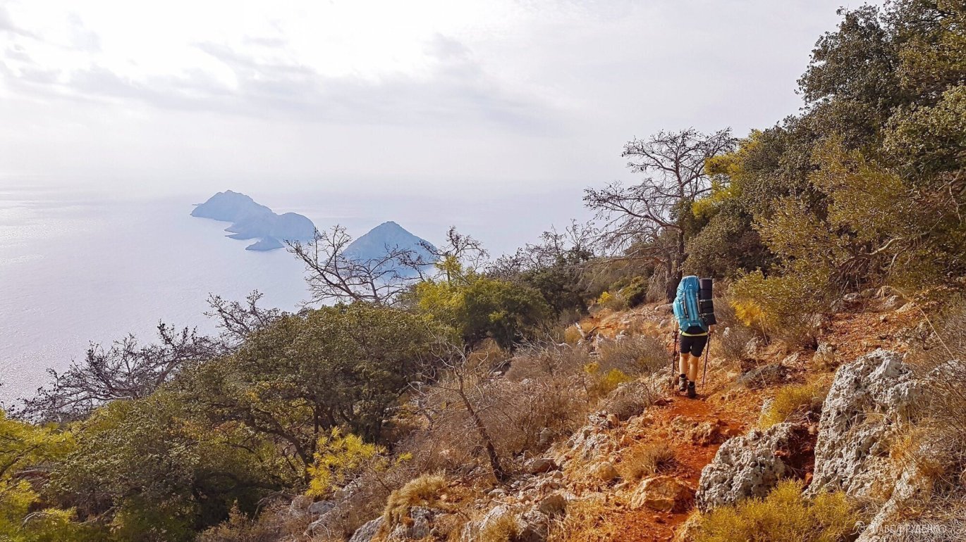
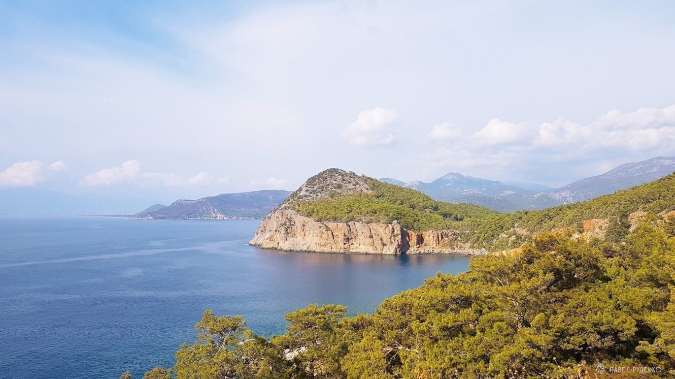
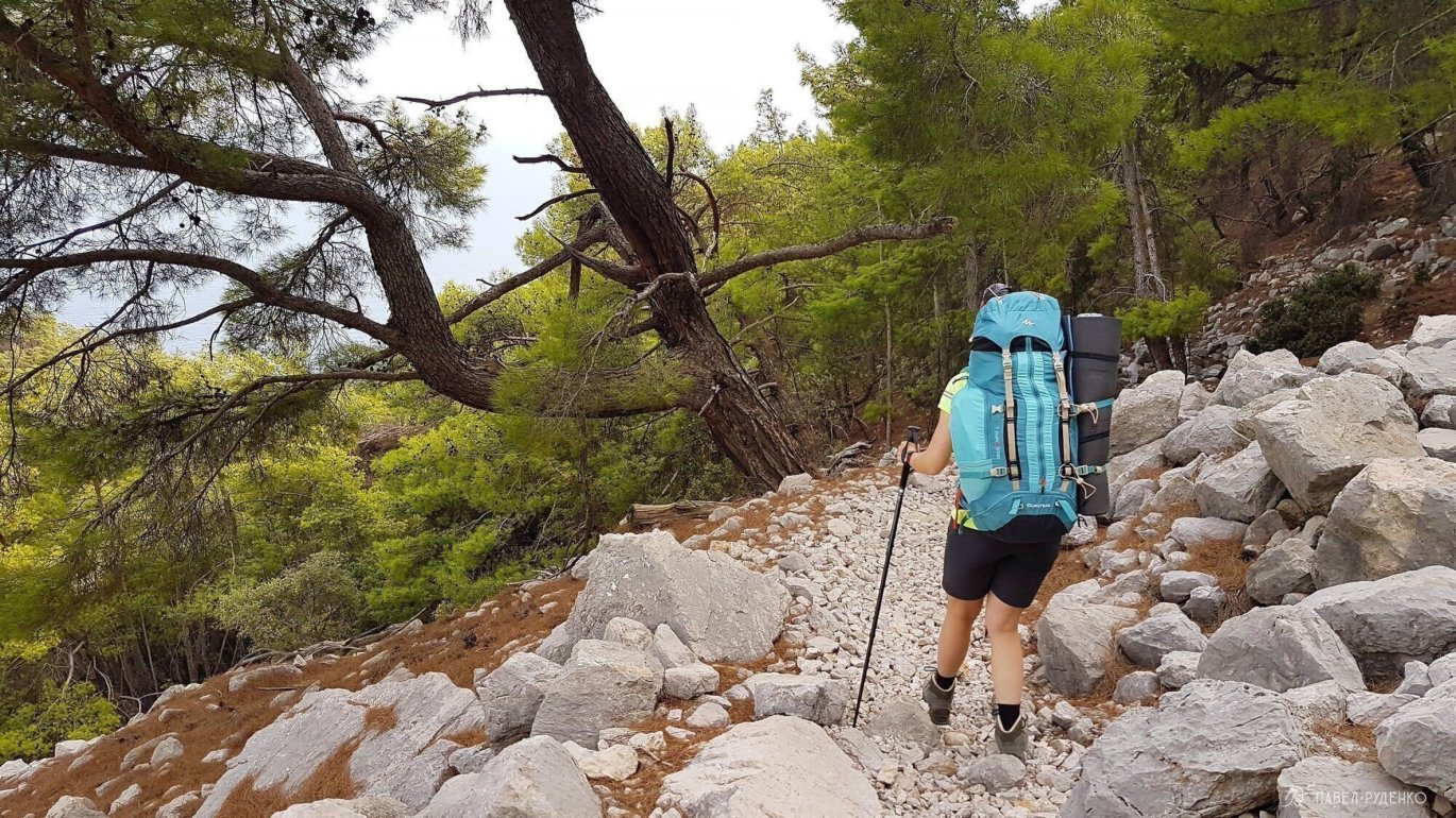
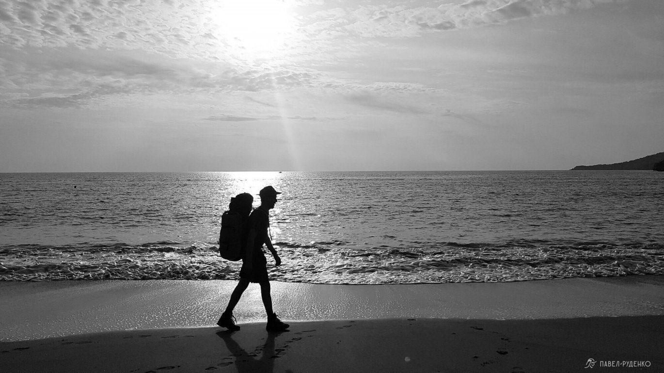
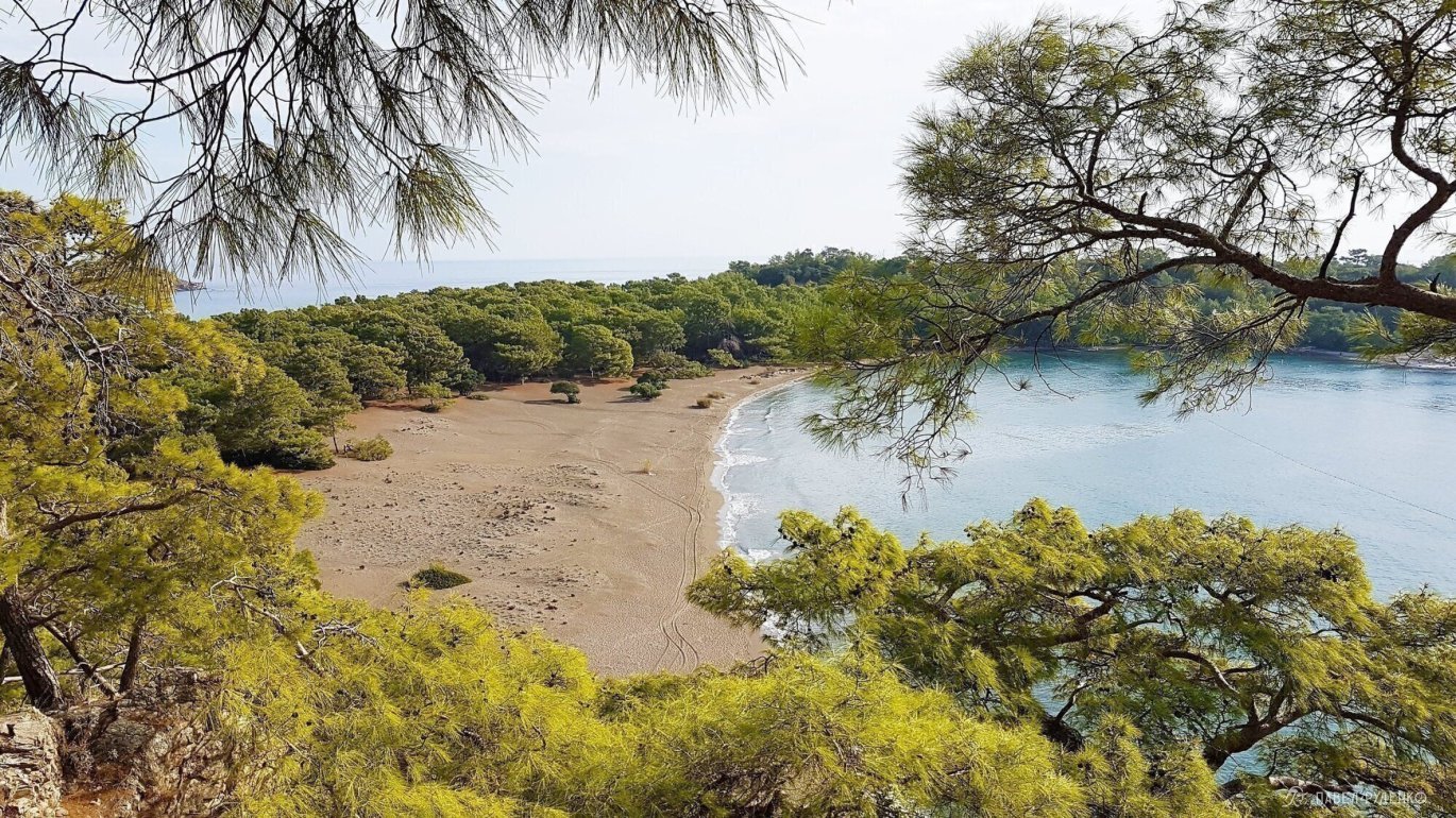
5 out of 5. From Tekirova north to Alacasu Beach, right by the road beneath Robinson Club Çamyuva. The path hugs the coast, delivering spectacular coastal views. Photos from this section:
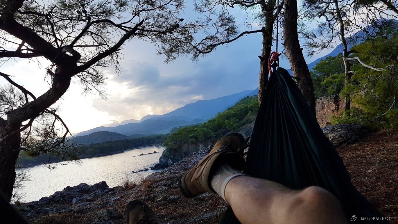
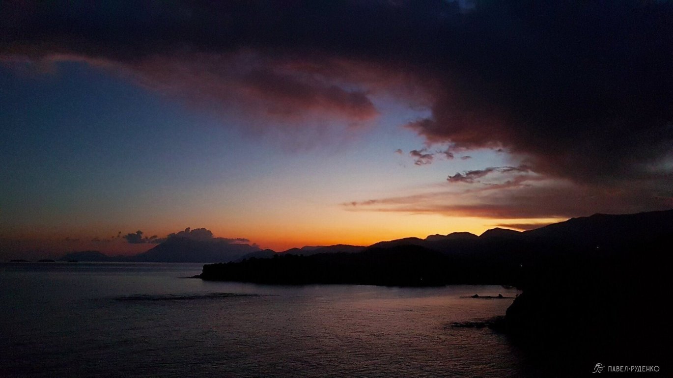
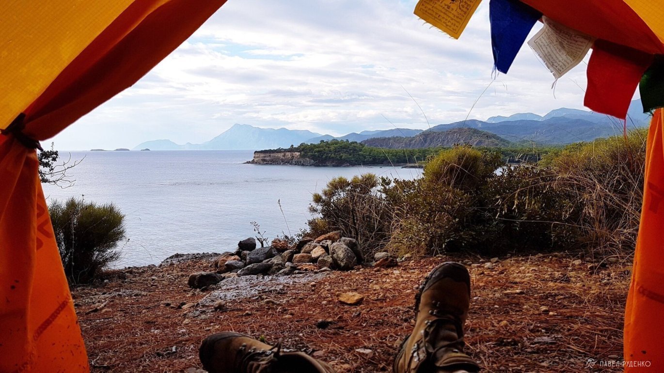
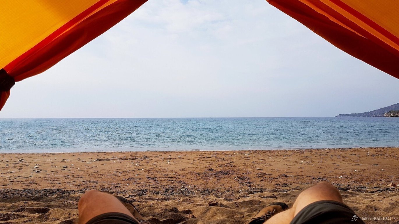
Summary: Shortening the trail, skipping sections, or taking buses only makes sense under strict time constraints. The entire trail has unique character and memorable spots at every turn—whether spotting wildlife or picking a basket of fresh oranges. In different seasons, certain sections might rank differently. If time allows, hike it end-to-end and enjoy every step of the journey.
On the other side of Antalya begins the Saint Paul Trail. It is wilder and far less traveled. Official plans were announced to connect the Lycian Way and the Saint Paul Trail by 2020, which would make an incredible continuous route of around 1,100 km.
About 600 km to the northwest—roughly a 9-hour bus ride—lies Cappadocia. An otherworldly landscape well worth the detour.
PAID SECTIONS
National parks are free to enter, and no general permit is required for the entire trail, but certain historical and natural attractions require an entrance fee. You will need to pay or take a detour at the following sites: Göynük Canyon, the Chimaera flames, Mount Olympos, and the beach and ruins of Phaselis north of Tekirova:
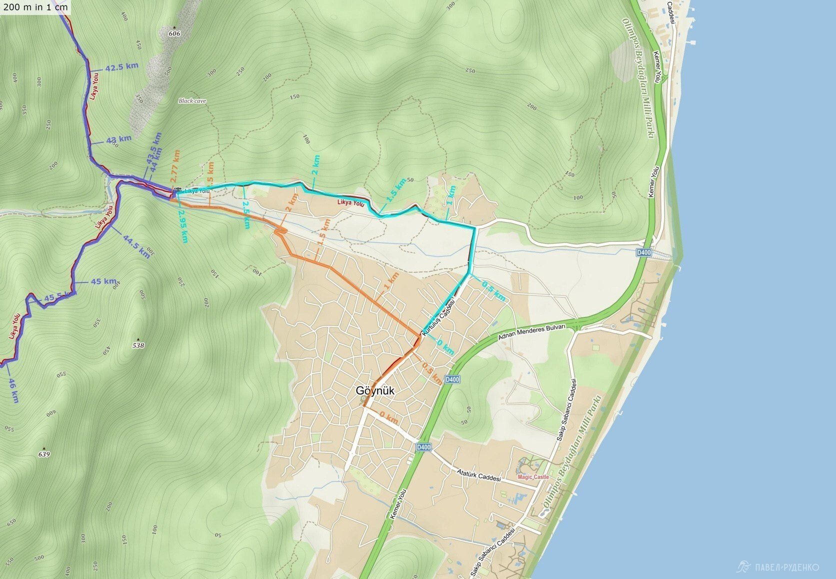
When starting from Göynük, you can access the Lycian Way for free only along the left bank of the river from the village, heading upstream from the sea toward the mountains. The right bank requires passing through the ticket booths. When hiking from Geyikbayırı, you traverse Göynük Canyon for free, leaving the ticket office to your left. The ticket costs 8 TRY (approx. 88 RUB). The detour avoiding the ticket booth is highlighted in orange.
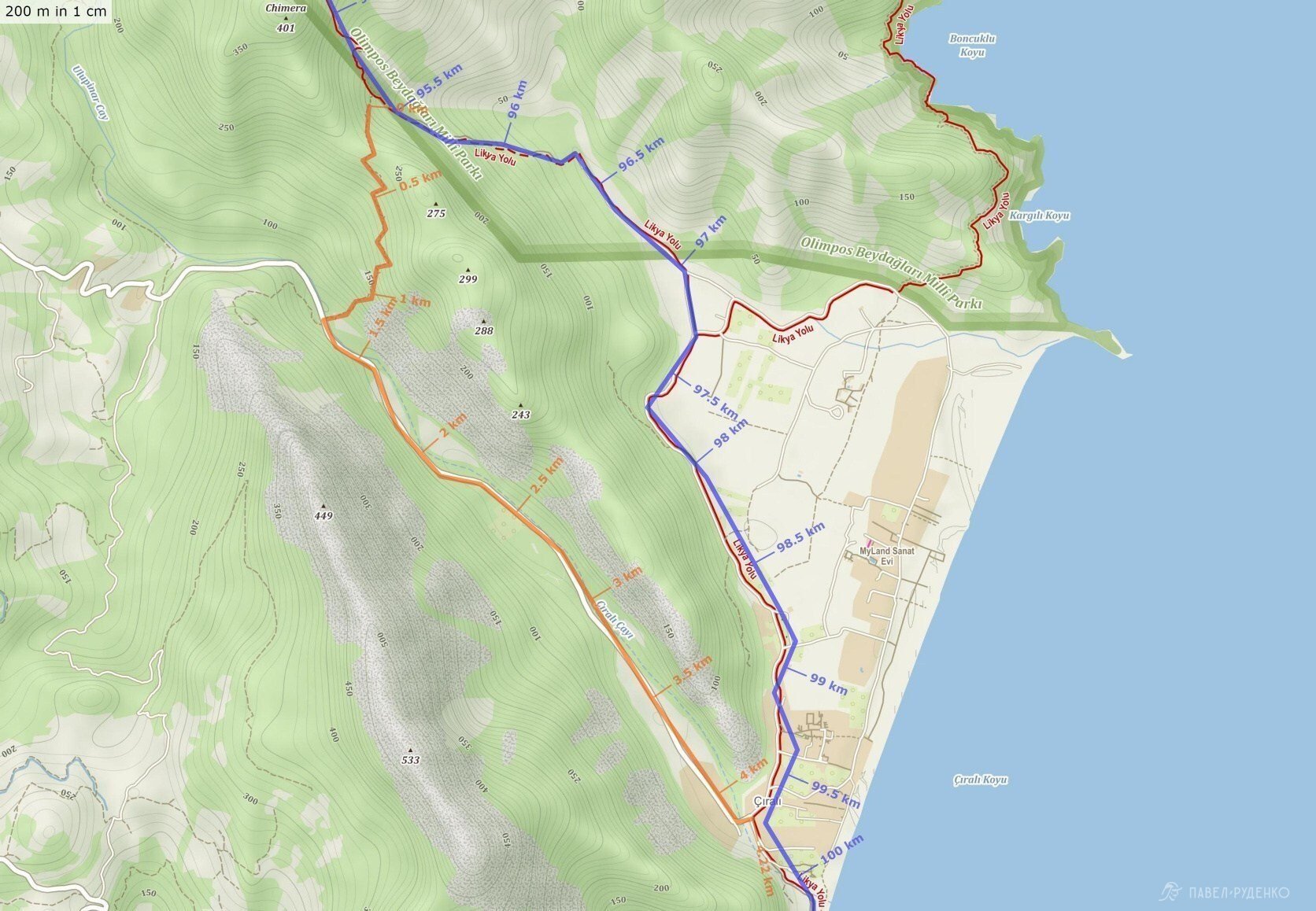
The Flames of Chimaera. You can access the flames for free from the direction of Beycik and Ulupınar, but at the exit towards Çıralı, there is a ticket booth with security guards and police on duty nearby. You can bypass it along a trail branching off to the right (facing the sea), between the upper and lower flames. It is marked on the map with a blue dot; after 1.5 km you will reach the hotels "Zumrun Cirali Butik Hotel", "Yoruk Park Pension", and "Ruya Pansiyaon" marked with a green pin, and the road will lead you straight into Çıralı. Note: you can camp near the upper flames of Chimaera—there is a great spot for 5–6 tents with a stunning view of Mount Tahtalı. The purple pin marks a secluded beach campsite for 3–4 tents. The ticket costs 7 liras (approx. 77 RUB). The orange line indicates the ticket booth bypass.
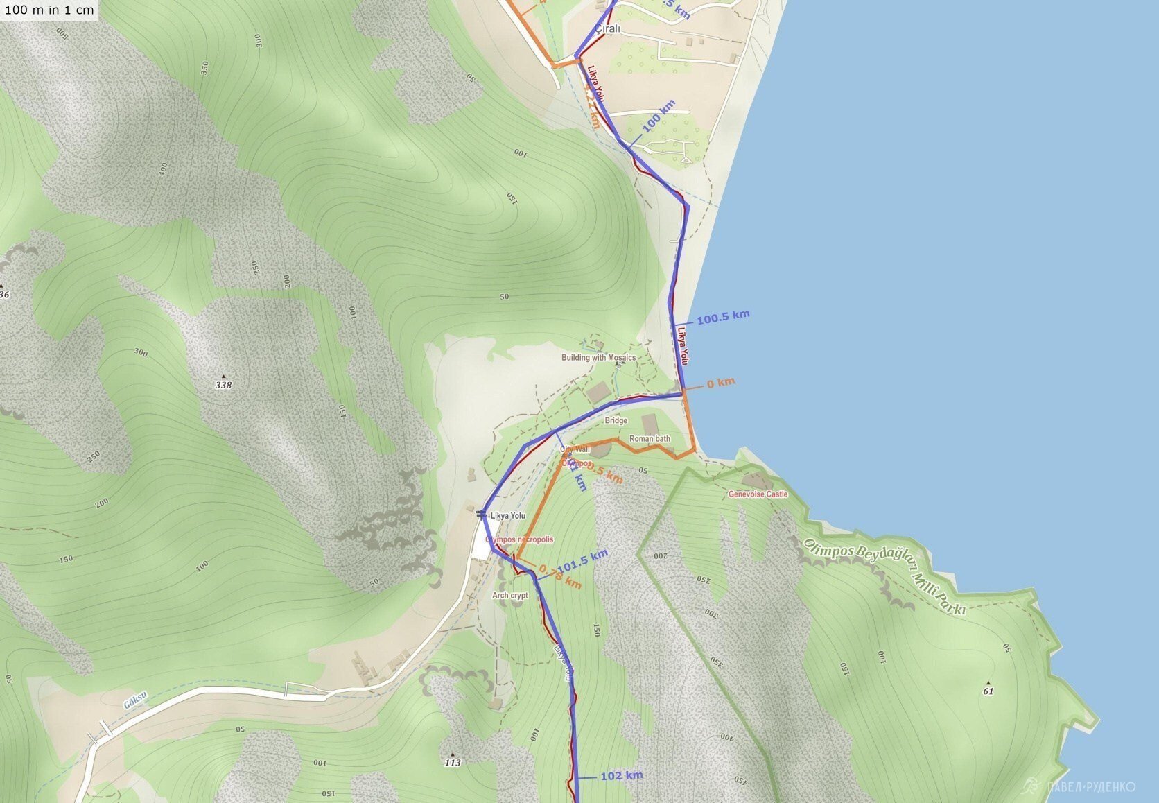
To reach Olympos, walk along the coast; the ticket booth will remain on your right by the cliff, and you will reach the river mouth. Cross it, and 20 meters further, in the middle of a small beach, you will find a gap in the fence behind the bushes. Then follow the trail past the buildings away from the sea, and you will soon find yourself on the Lycian Way. The ticket costs 20 liras (approx. 220 RUB). The orange line indicates the ticket booth bypass.
To be continued in the next parts:




Comments (0)