
TRAIL SECTIONS RATING
Beautiful and interesting places
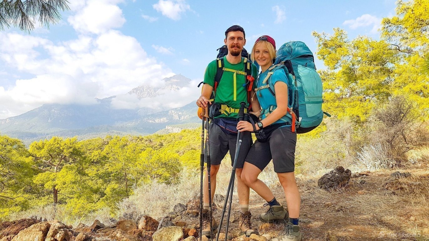
For those who have limited time for the hike and are thinking about how to shorten the route, I will try to help with the rating of trail sections. Starting from the beginning in Geikbayyry to the end of the eastern part in Karaoz. For clarity of the terrain, I attach clickable buttons-links to panoramas of the area in Google Earth. You can also see beautiful photos on my Instagram.
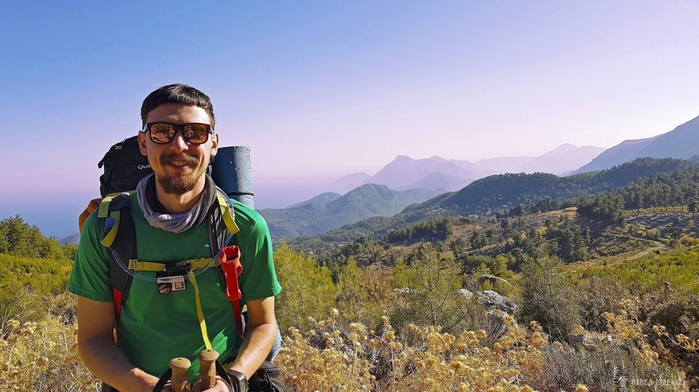
5 out of 5 points. In Geikbayyry – climbing base
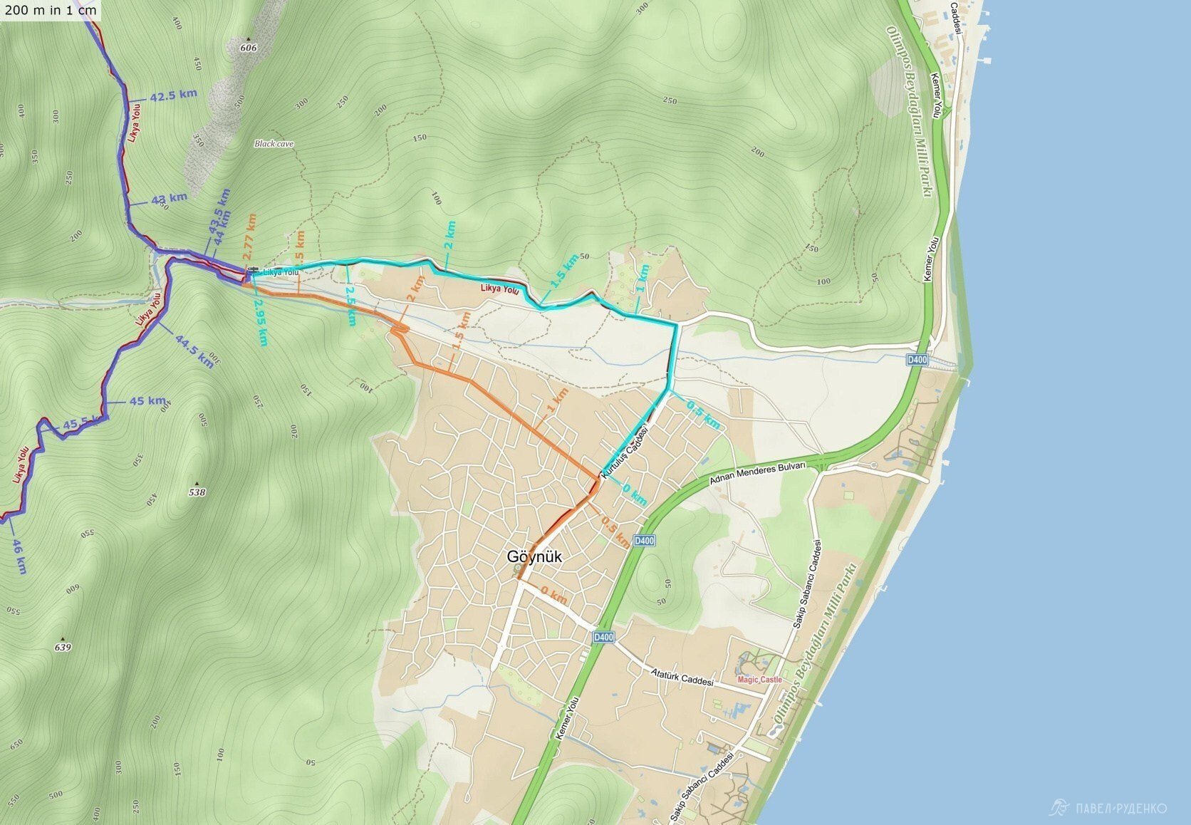
2 out of 5 points. Section Geikbayyry – Gaynyuk
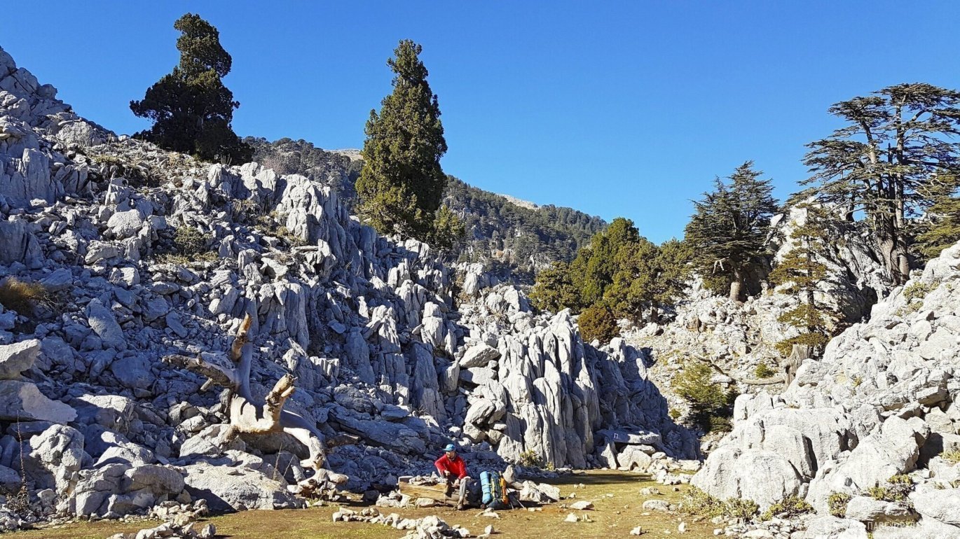
5 out of 5 points. Gaynyuk Canyon
5 out of 5 points. Gaynyuk – Takhtaly Pass
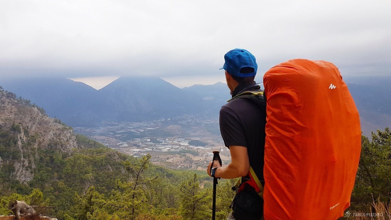
5 out of 5 points. Takhtaly Dag Pass
3 out of 5 points. Takhtaly Pass – Ulyupinar
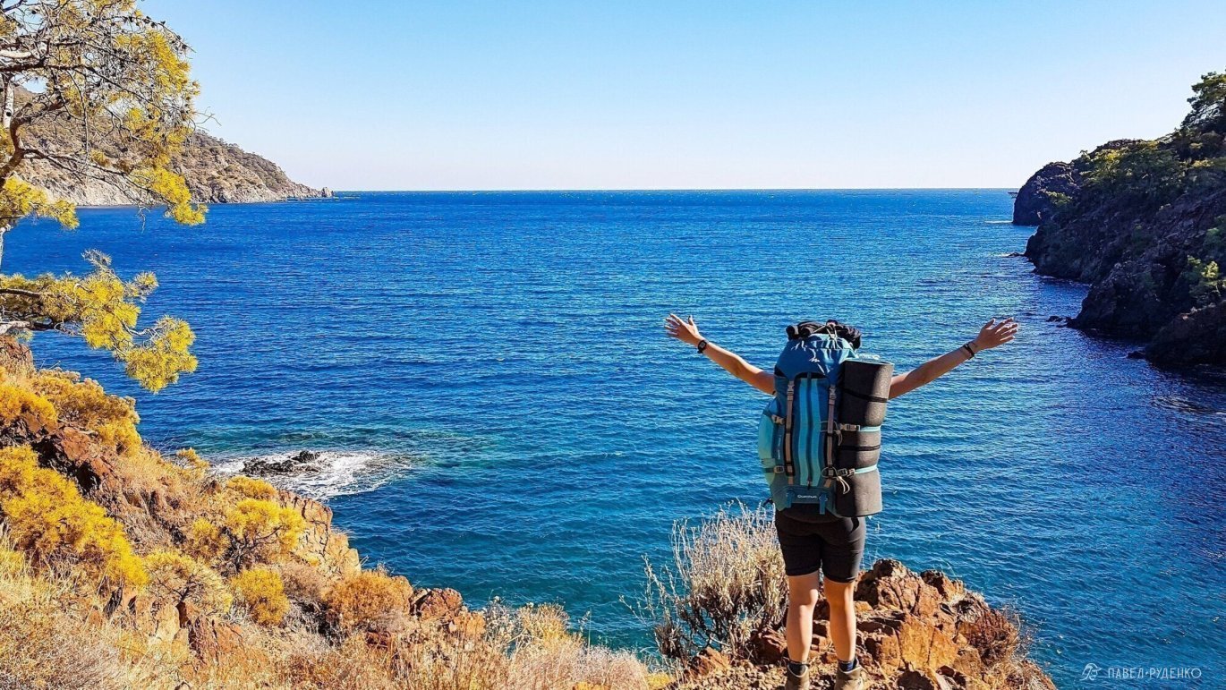
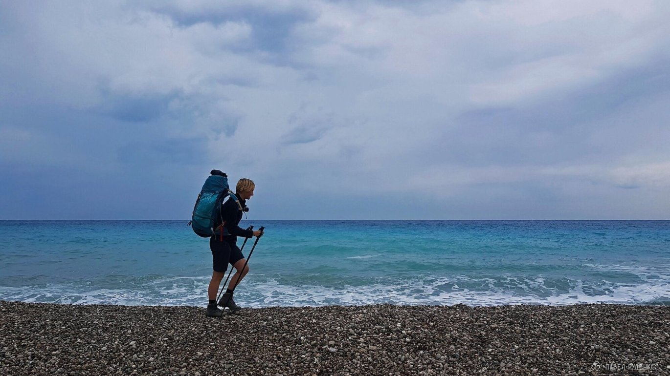
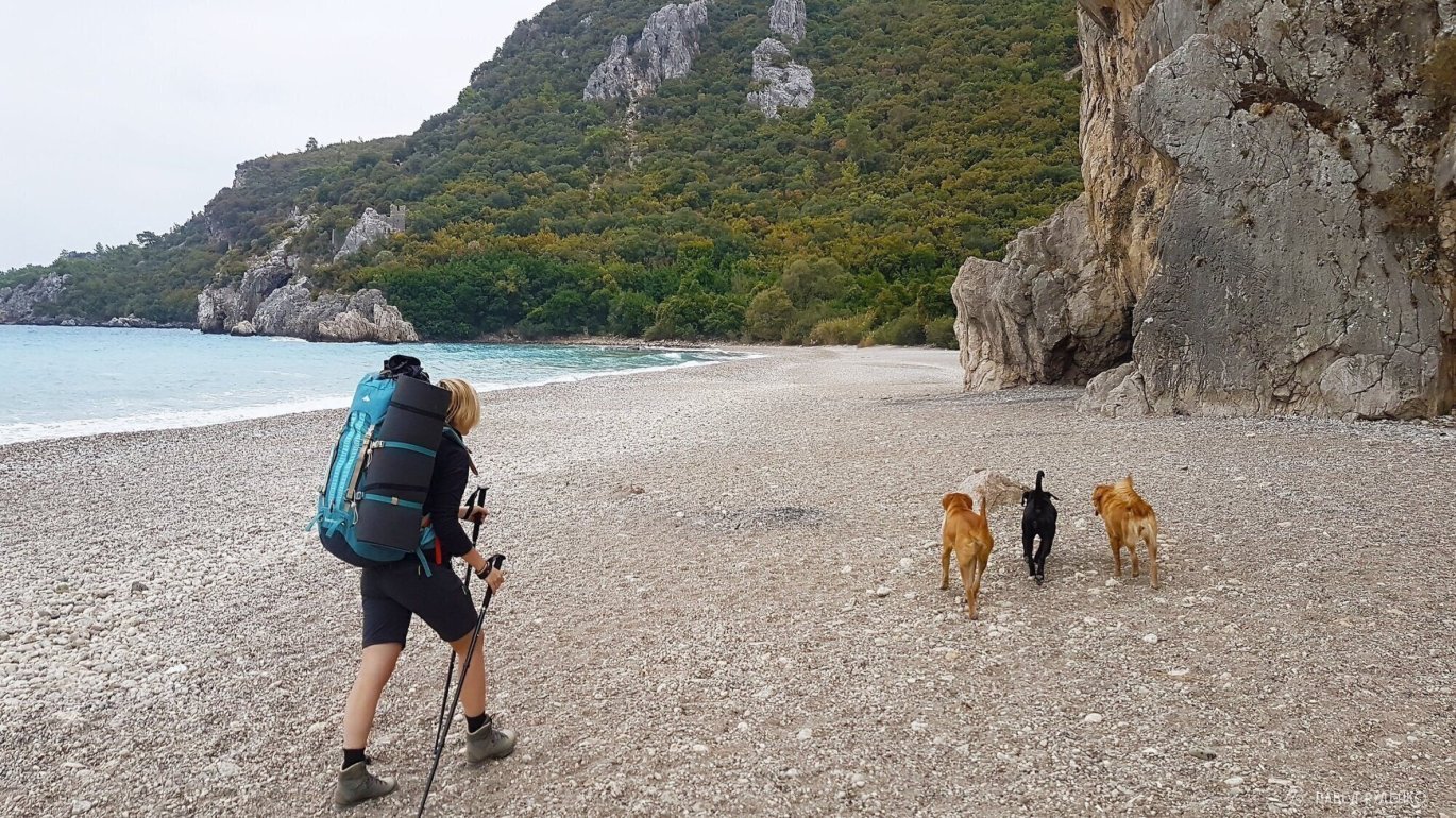
5 out of 5 points. From Ulyupinar to Cirali
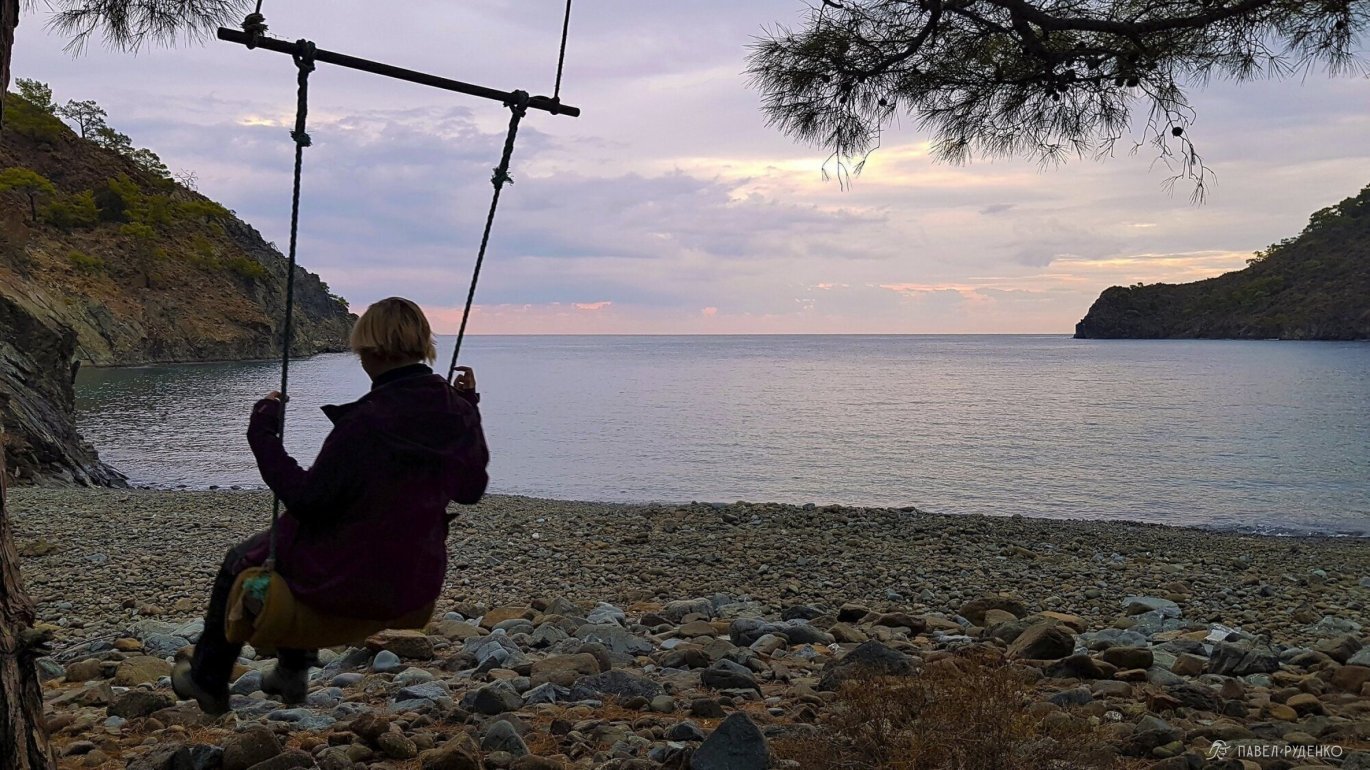
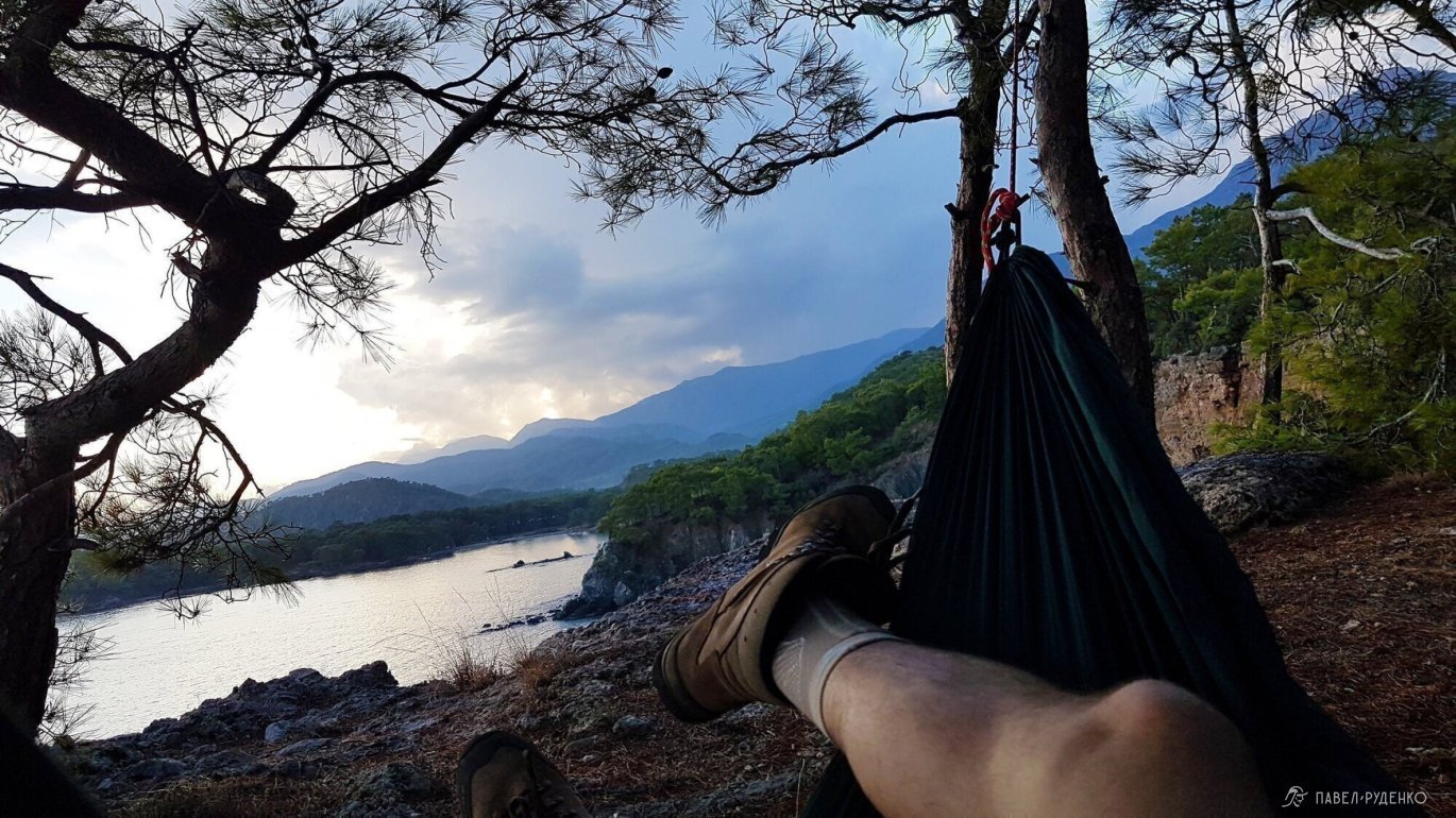
5 out of 5 points. Bay with swings north of Cirali
3 out of 5 points. Cirali – Adrasan
4 out of 5 points. Adrasan – Karaoz
5 out of 5 points. From Tekirova north to Alakasu beach
5 out of 5 points. In Geikbayyry – climbing base with gear rental. Climbing type – difficulty, season – from September to April. A huge number of routes, more than 1300. Many camps, a couple of them: The Land, Climber’s Garden, Rido Camping. You can get there by bus in an hour, from the bus station (otogar) in Antalya. The place is popular, there is a lot of information about it.
2 out of 5 points. Section Geikbayyry – Gaynyuk can be skipped by taking transport. 2 days of travel, ordinary views, you will also meet similar ones further.
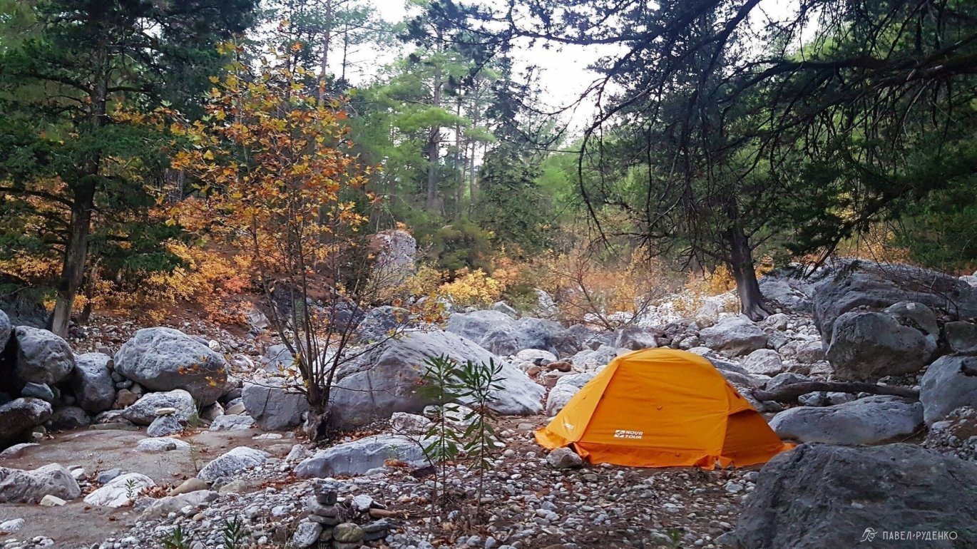
5 out of 5 points. Gaynyuk Canyon is a must-visit. You can get there for free on the left side of the river from the city of Gaynyuk. There is a wetsuit rental, about 600 rubles. You will be able to walk through the water and swim to the beginning of the canyon through beautiful gorges, it will take about 4-5 hours. I didn’t manage to do it in time, which I really regret. Please note that the water temperature is +6C. If the air temperature is below +20C and cloudy, it will be cool.
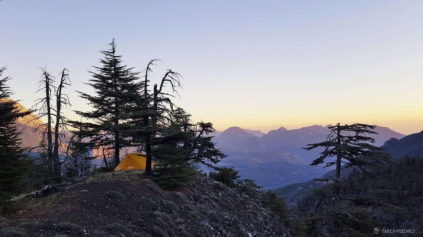
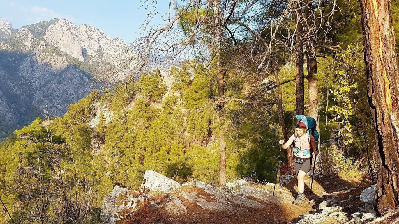
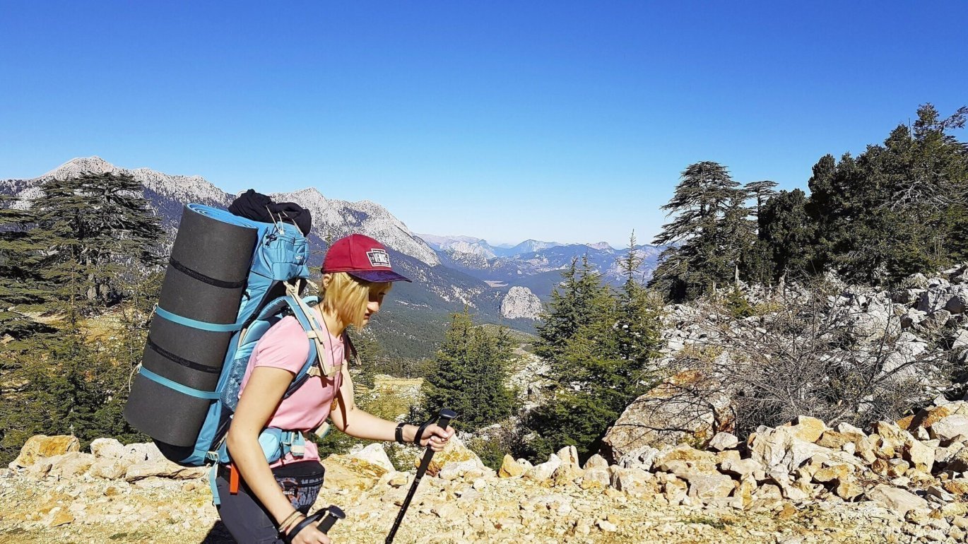
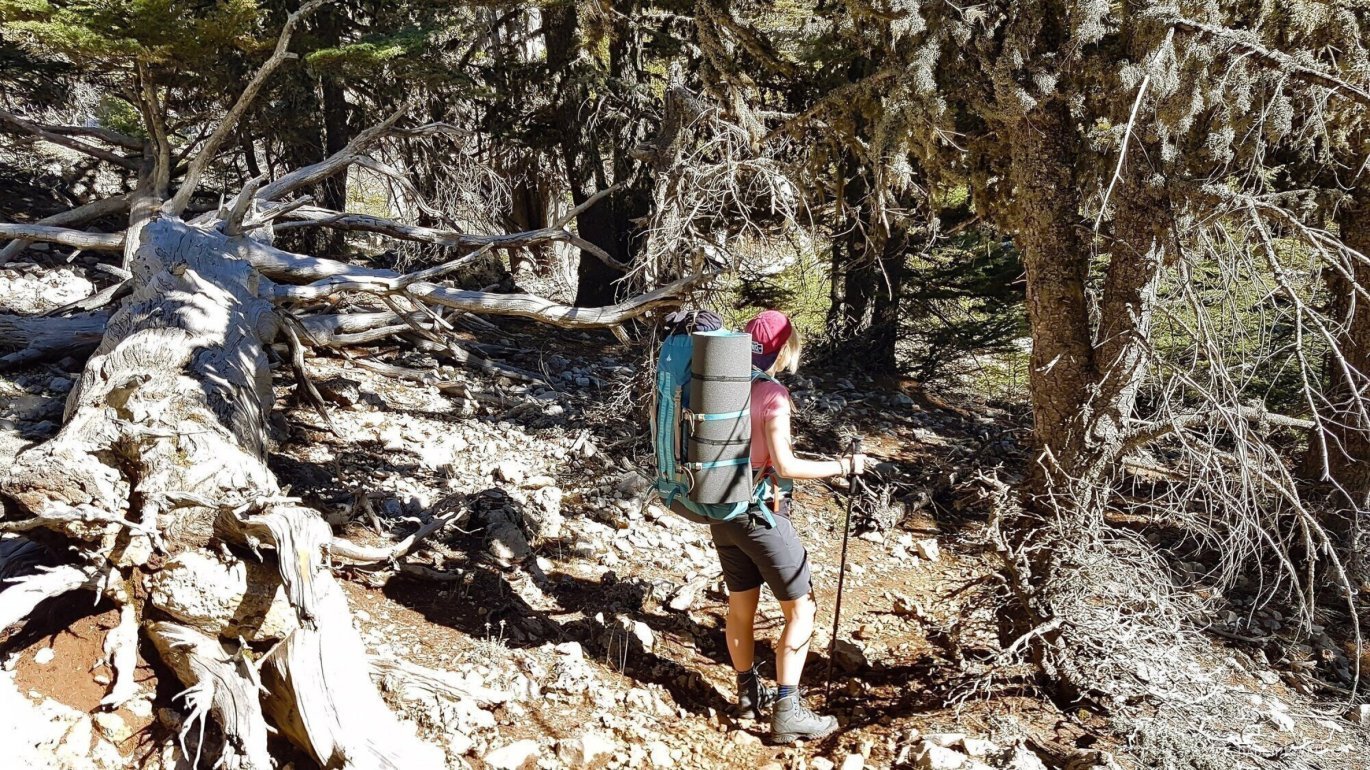
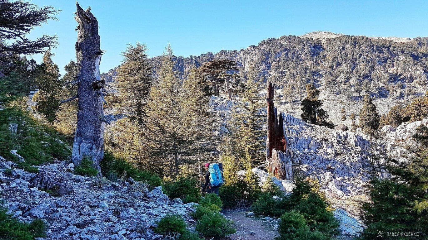
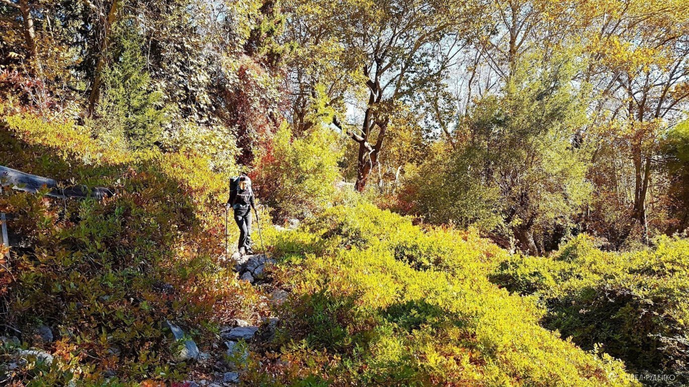
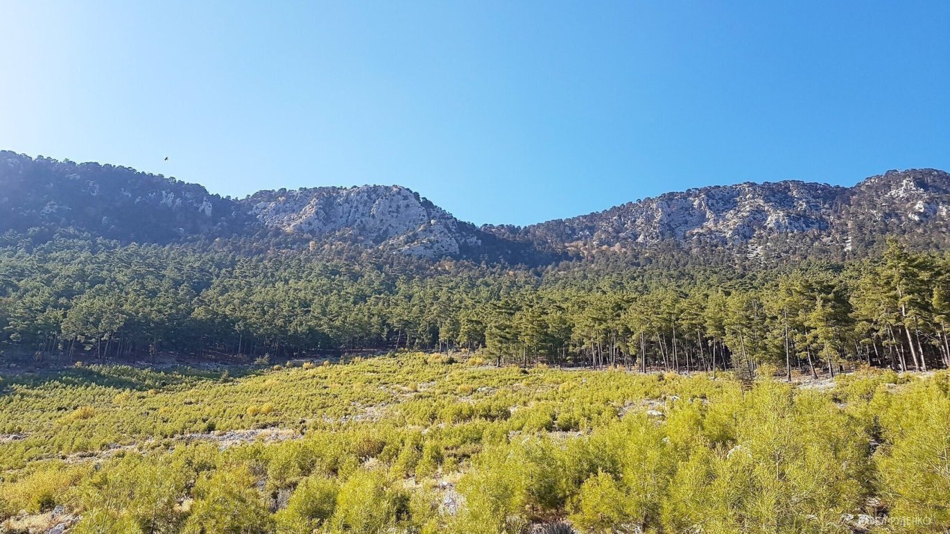
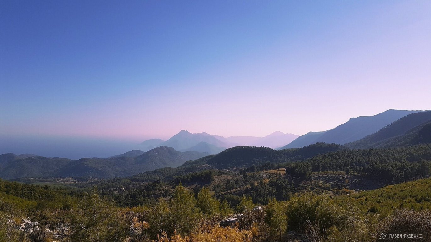
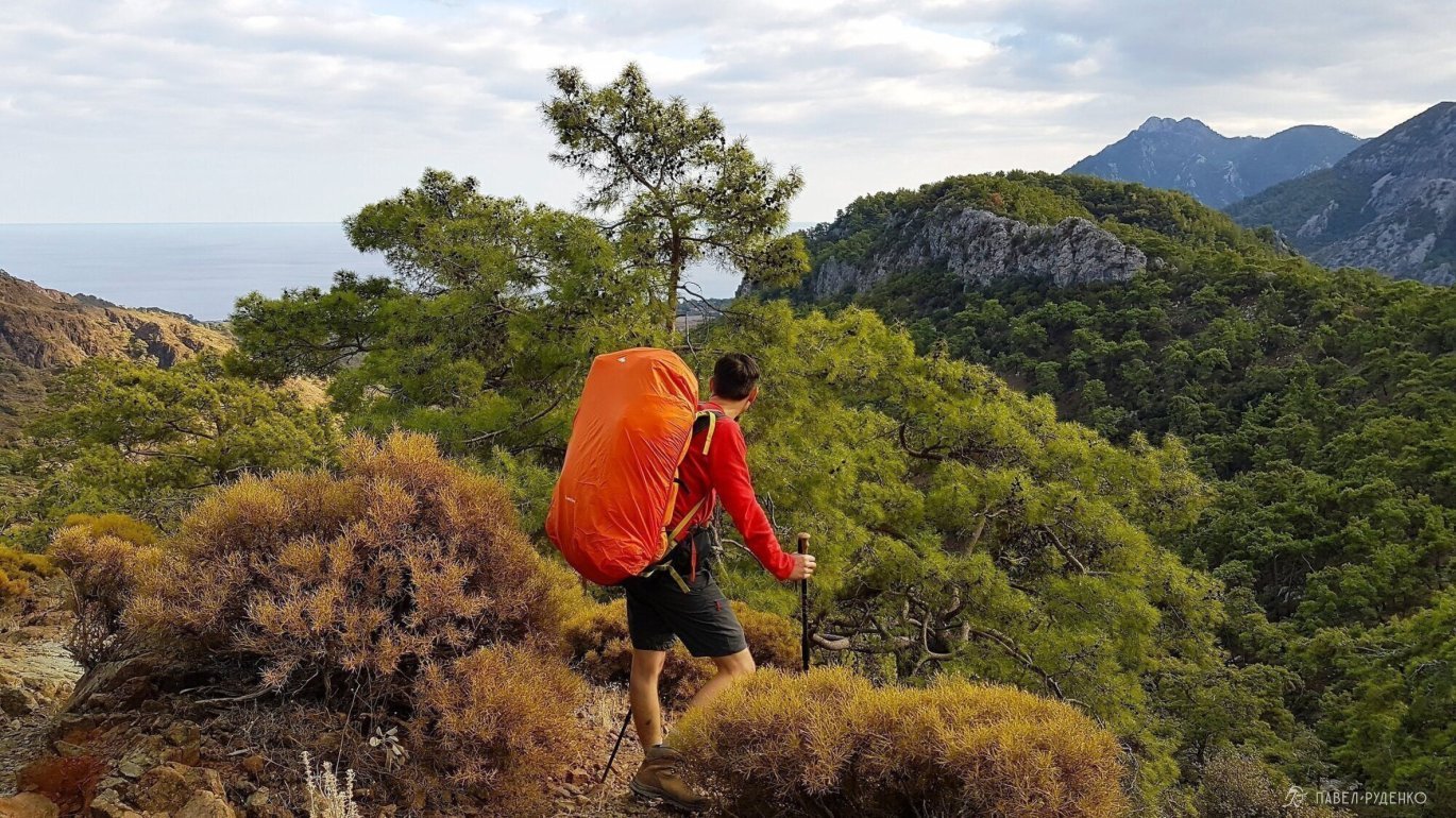
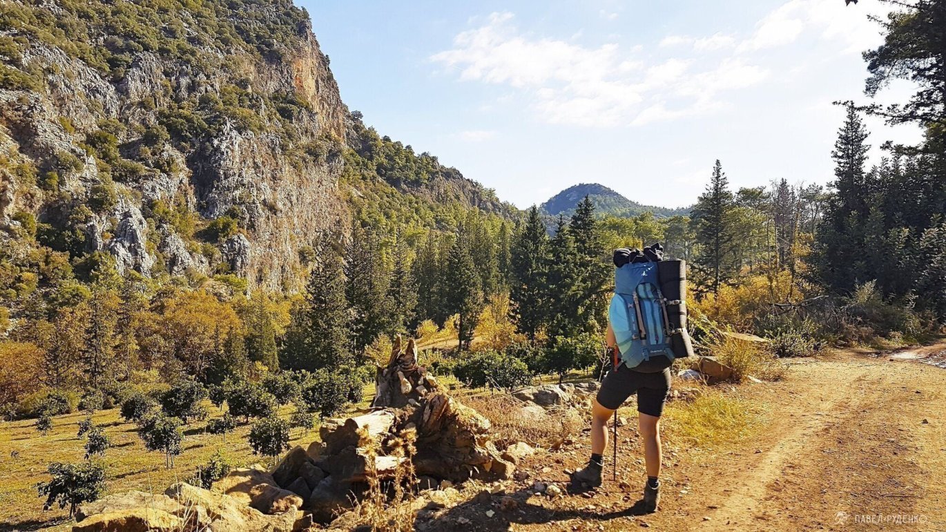
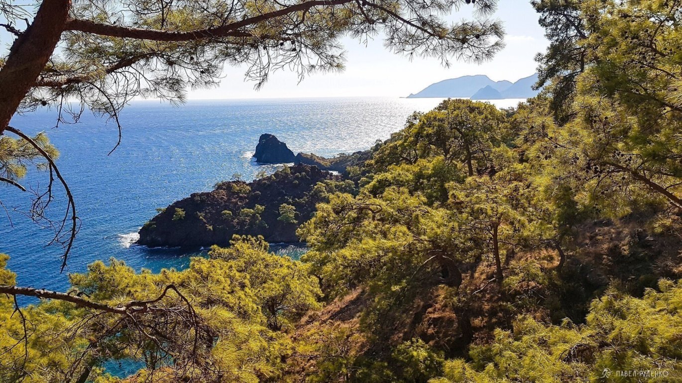
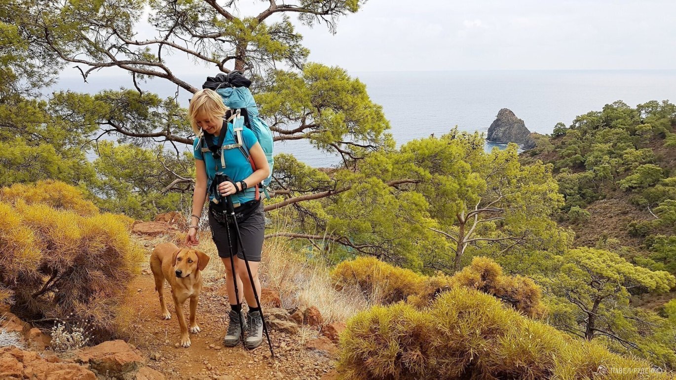
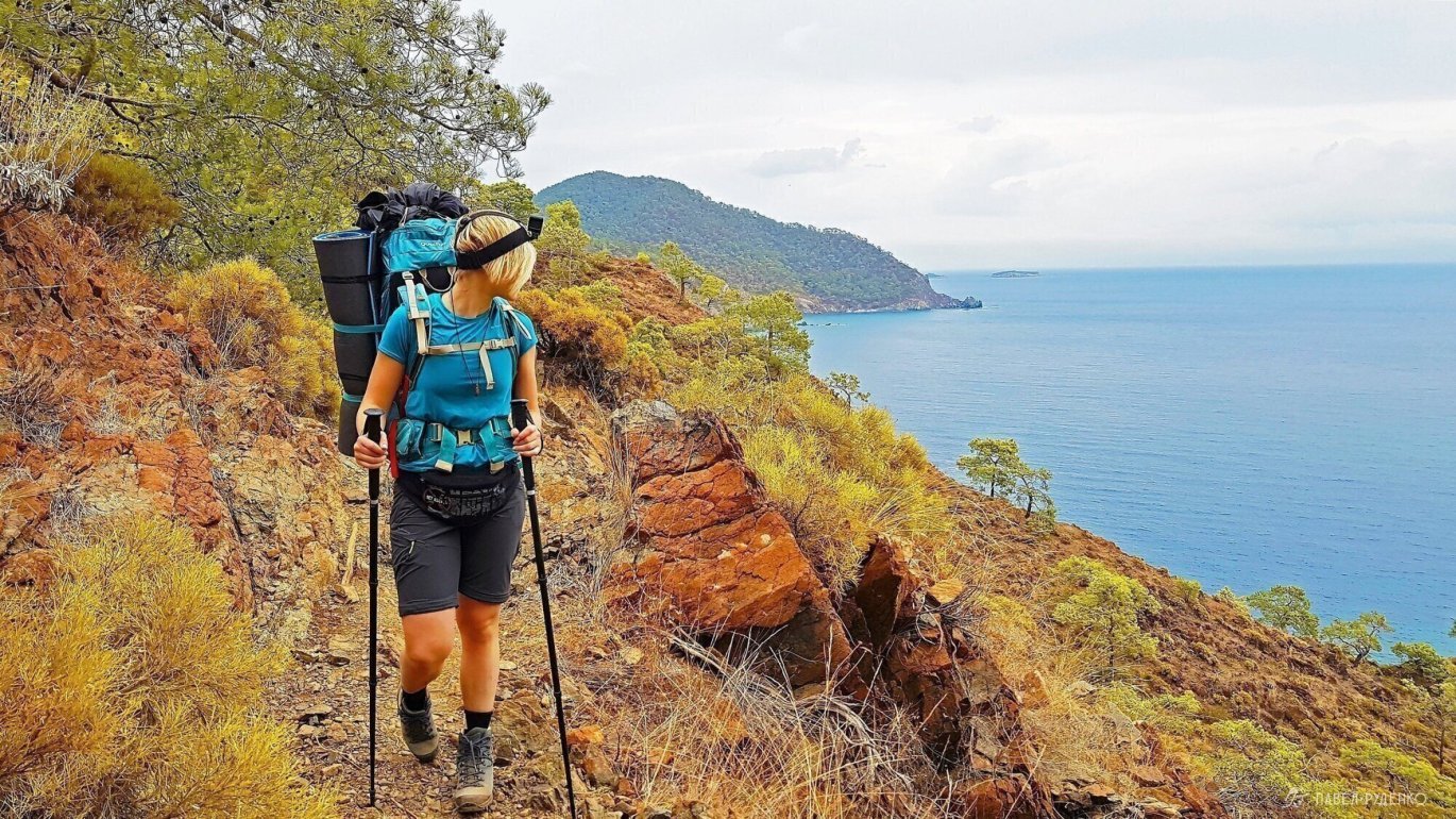
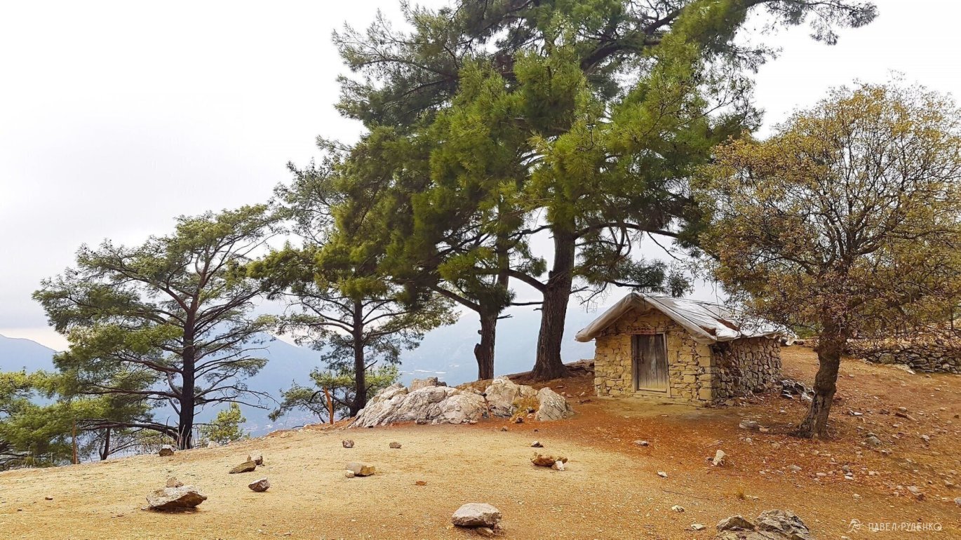
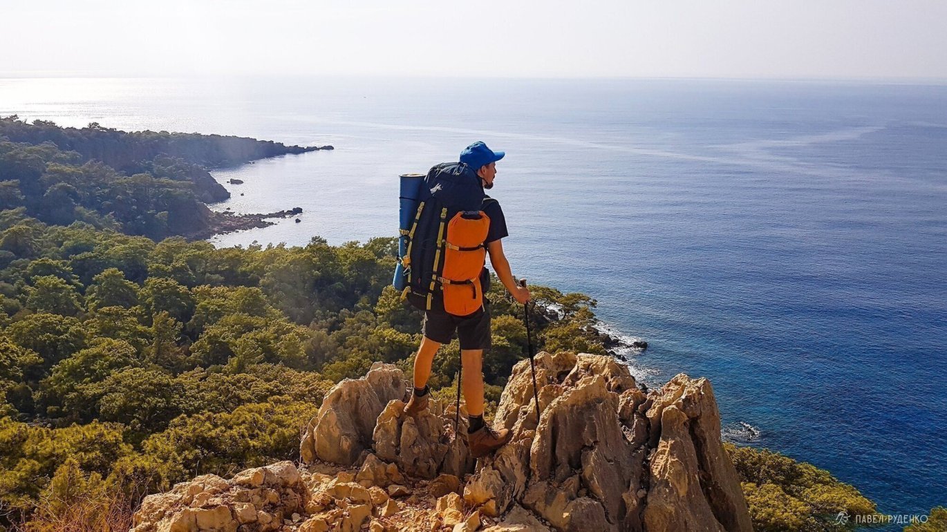
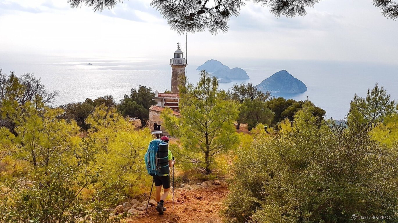
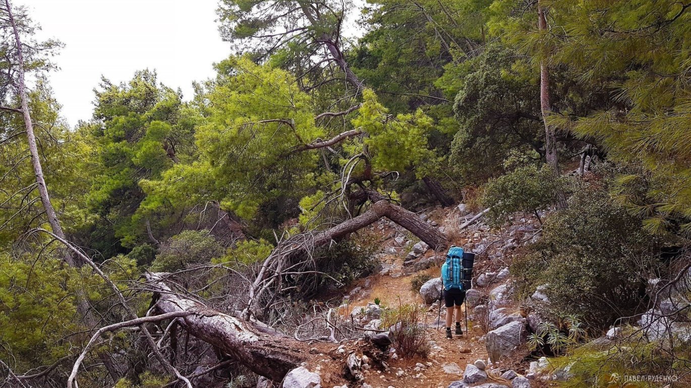
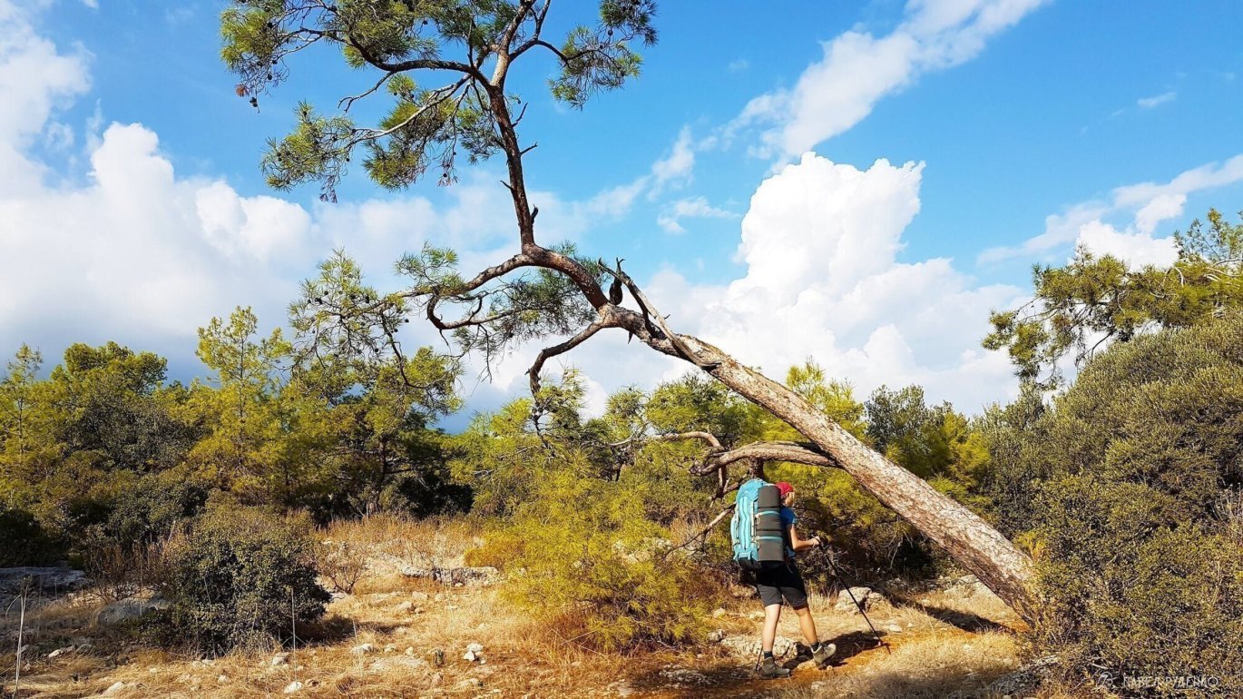
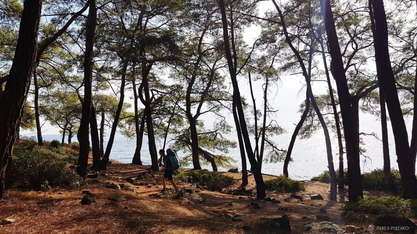
5 out of 5 points. Gaynyuk – Takhtaly Pass. The most beautiful and interesting way to the Takhtaly Pass, that’s why it’s worth going to the eastern part. It’s a long ascent with daily changing landscapes. Panoramic views, a lot of greenery. Photos from this section:
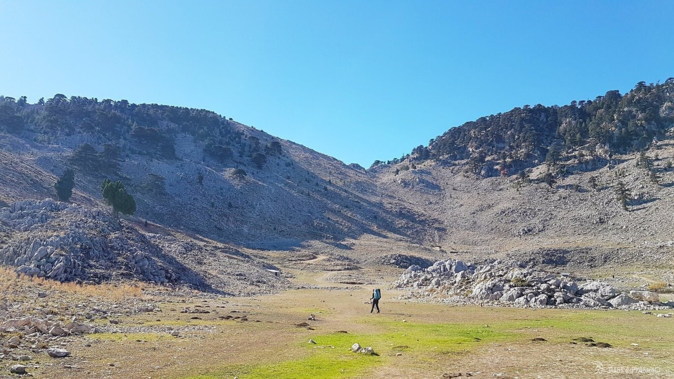
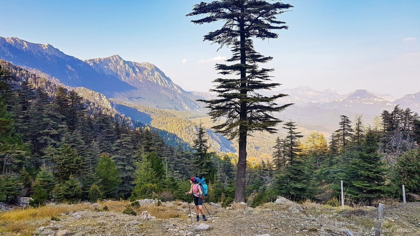
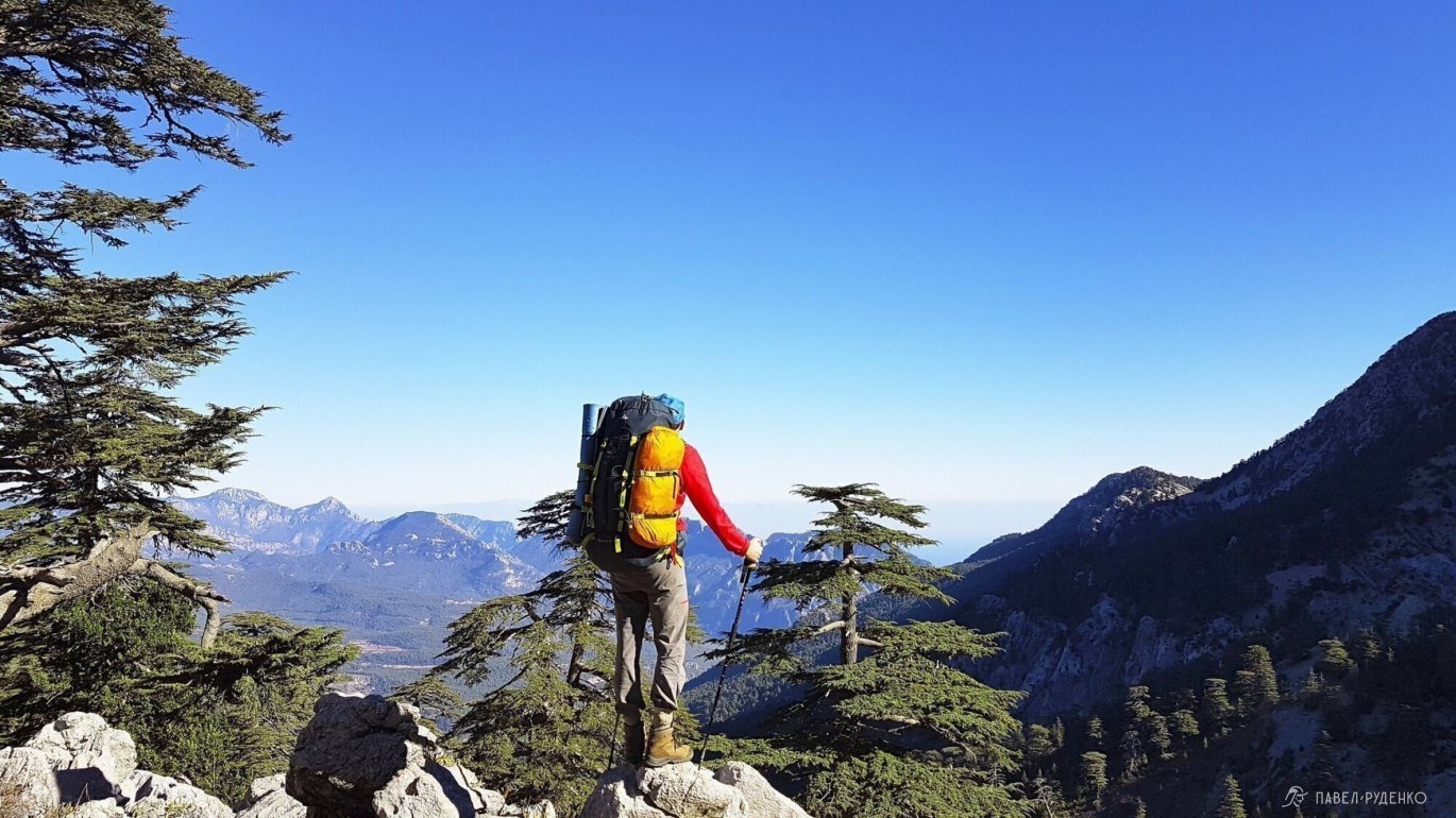
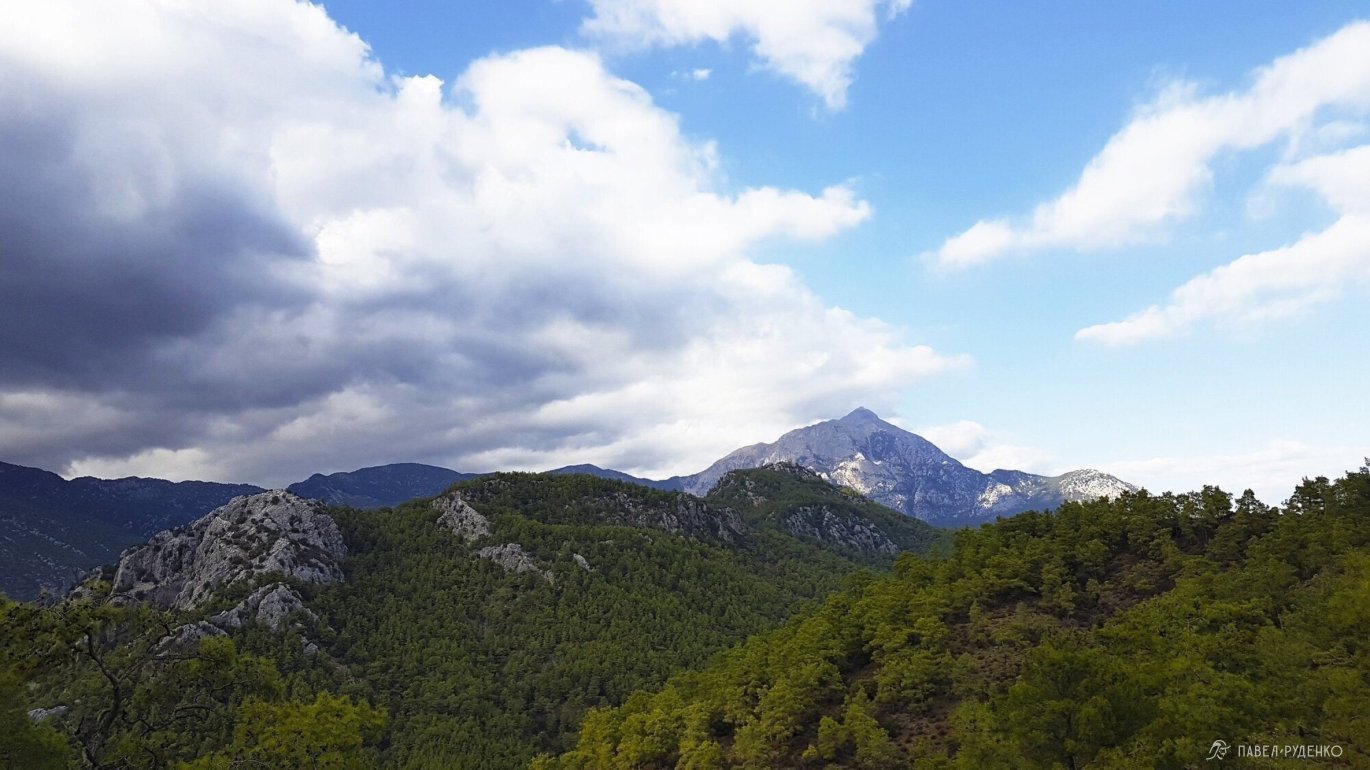
5 out of 5 points. Takhtaly Dag. I didn’t climb to the top itself, I don’t see the point in the top itself: there are fences, green plastic mats, a restaurant, beach tourists with selfie sticks who went up by cable car. I think that even a beautiful, natural place completely loses its atmosphere in such situations. I was interested in the impressions of others who climbed Takhtaly, many responded in much the same way. Rating of 7 points precisely because of this, if you think the same, it’s worth climbing not reaching the top, already there you will have stunning views.
The ascent from the pass to the mountain takes 2 hours: 3 km in length and a height gain of 550 m. Completely rocky area with a zigzag trail, you should start in the morning, be prepared for the wind. You can hide your backpack on the pass to lighten the ascent. Then you will have a long descent with a loss of altitude of 1500 m.
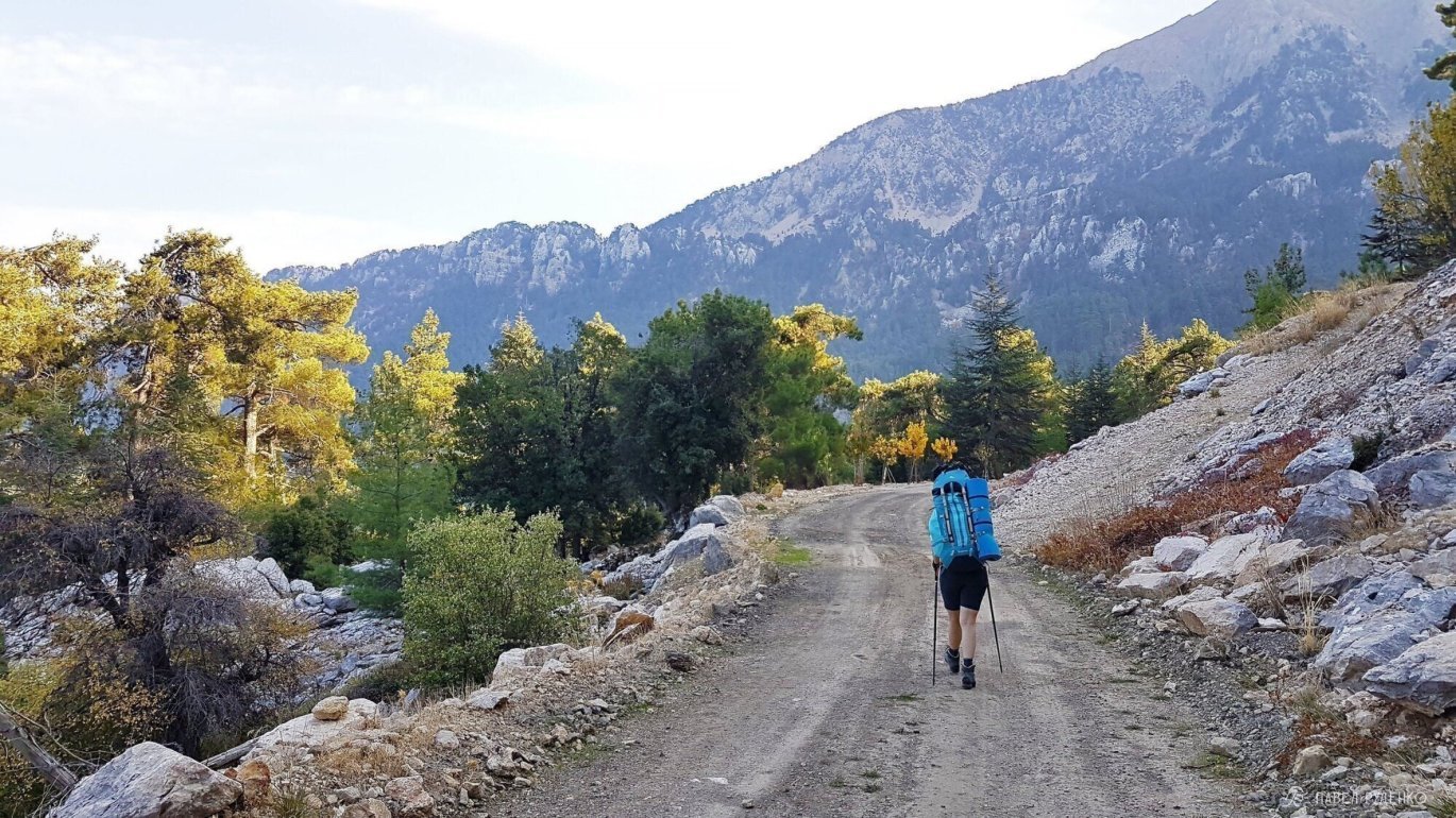
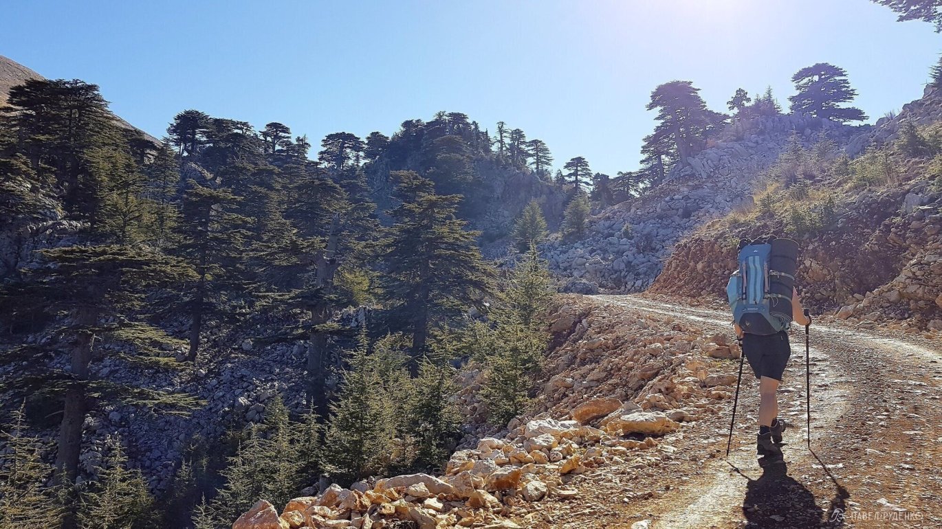
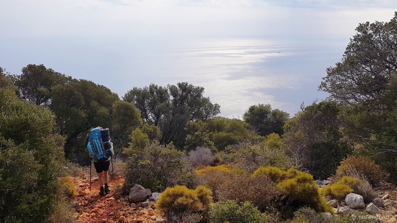
3 out of 5 points. Takhtaly Pass – Ulyupinar. An ordinary section compared to what has already been passed. Due to the long, continuous descent, you have to look under your feet all the way and miss most of the views. There is an option to go down to Beychik and take a shuttle bus to Ulyupinar or climb the mountain and take the cable car down. Photos from the section:
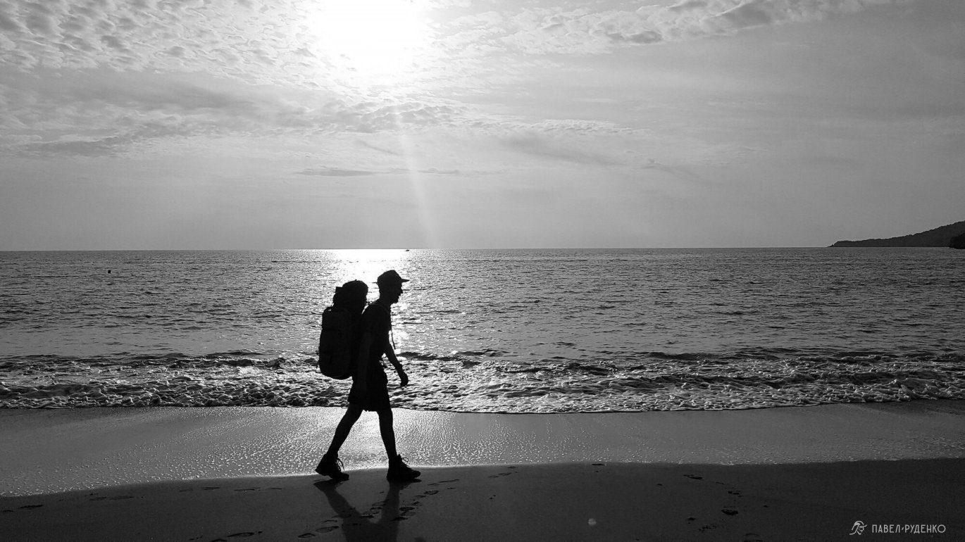
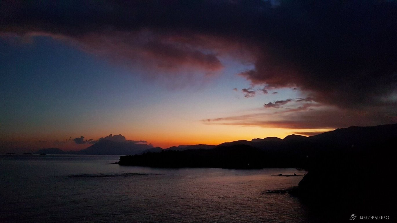
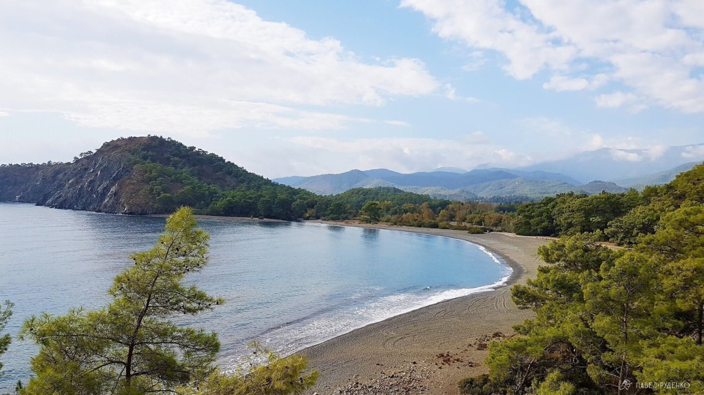
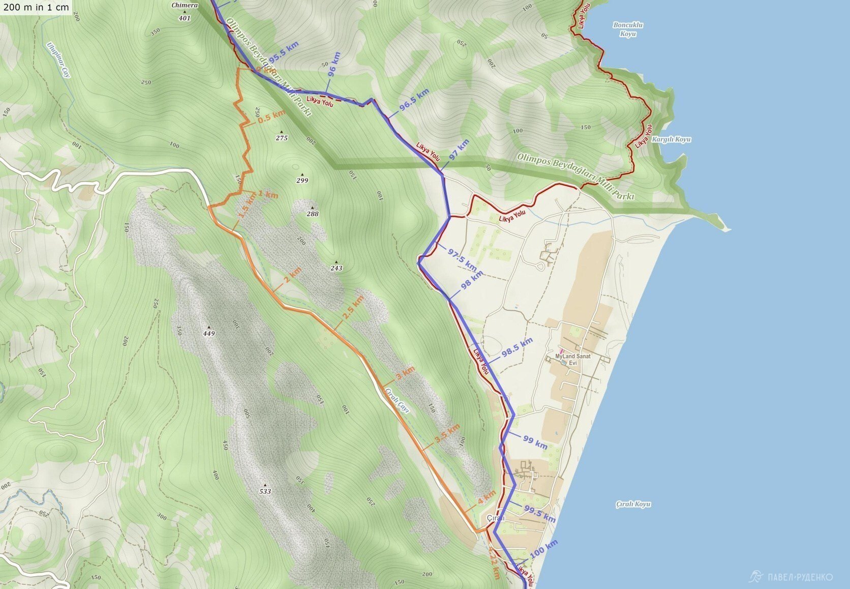
5 out of 5 points. From Ulyupinar to Cirali through the Chimera fires, incredibly beautiful places. Photos from the section:
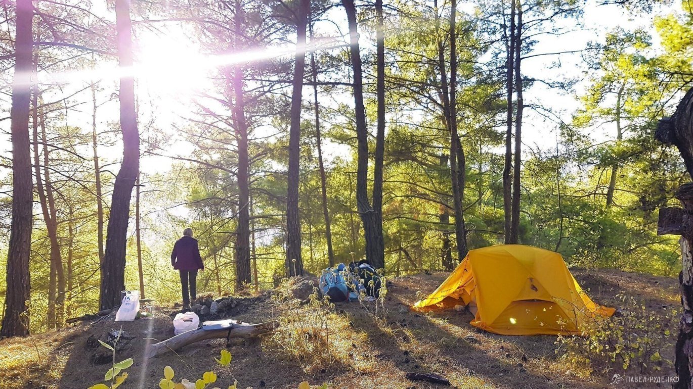
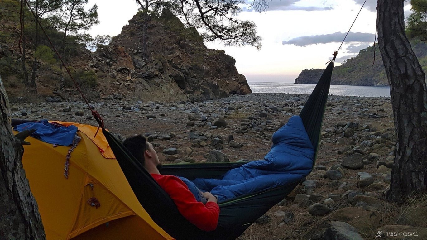
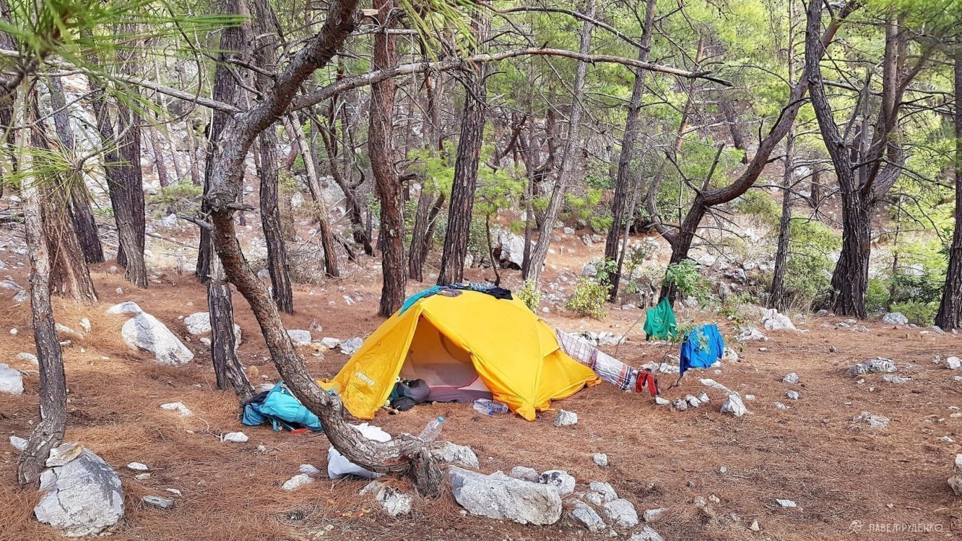
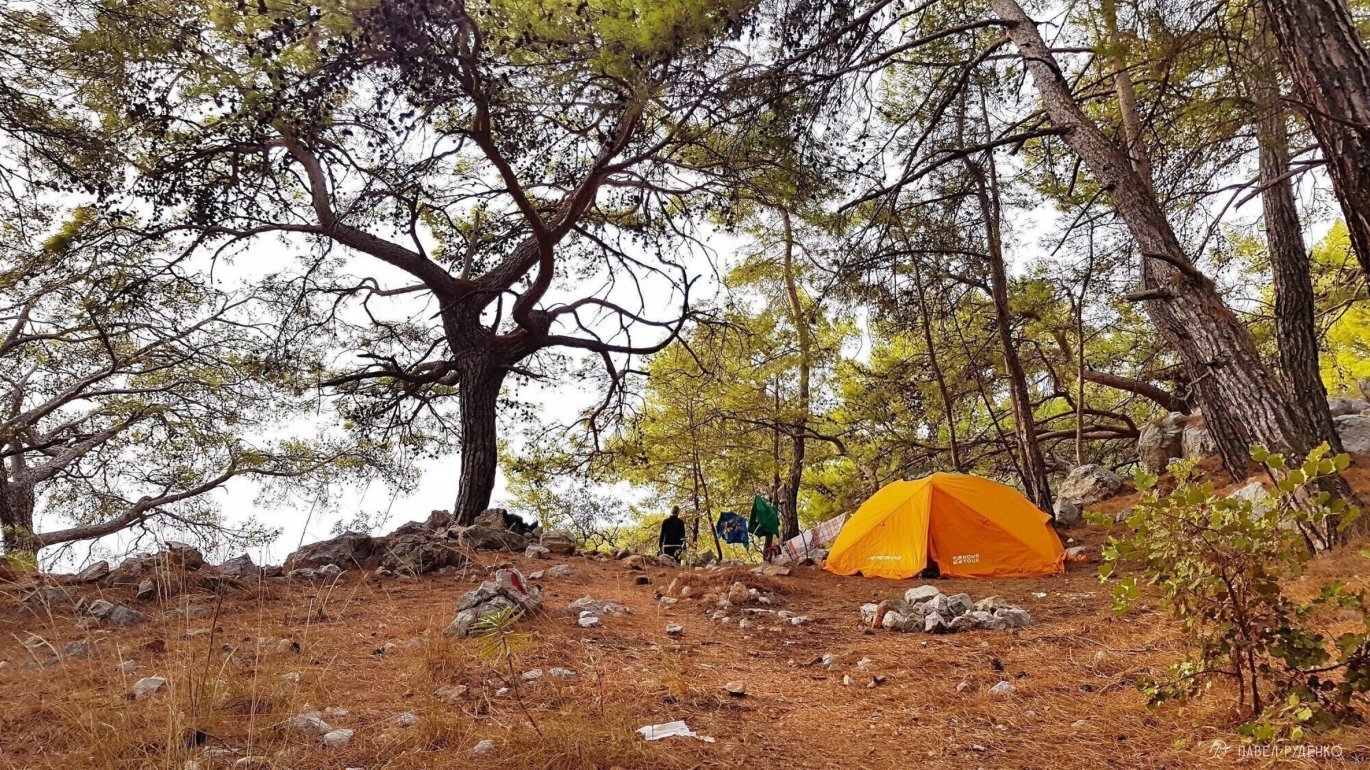
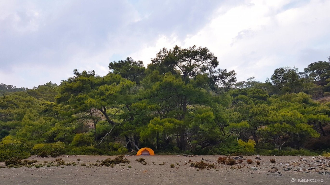
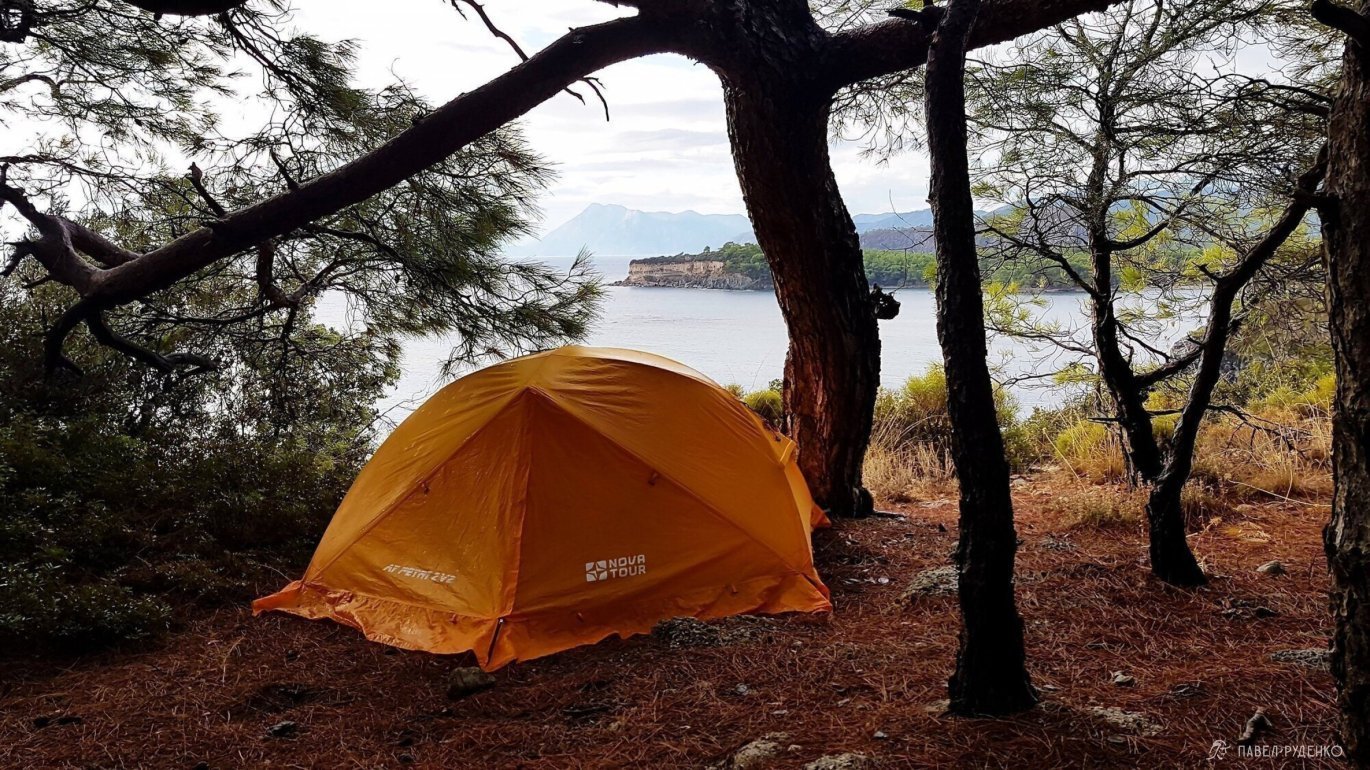
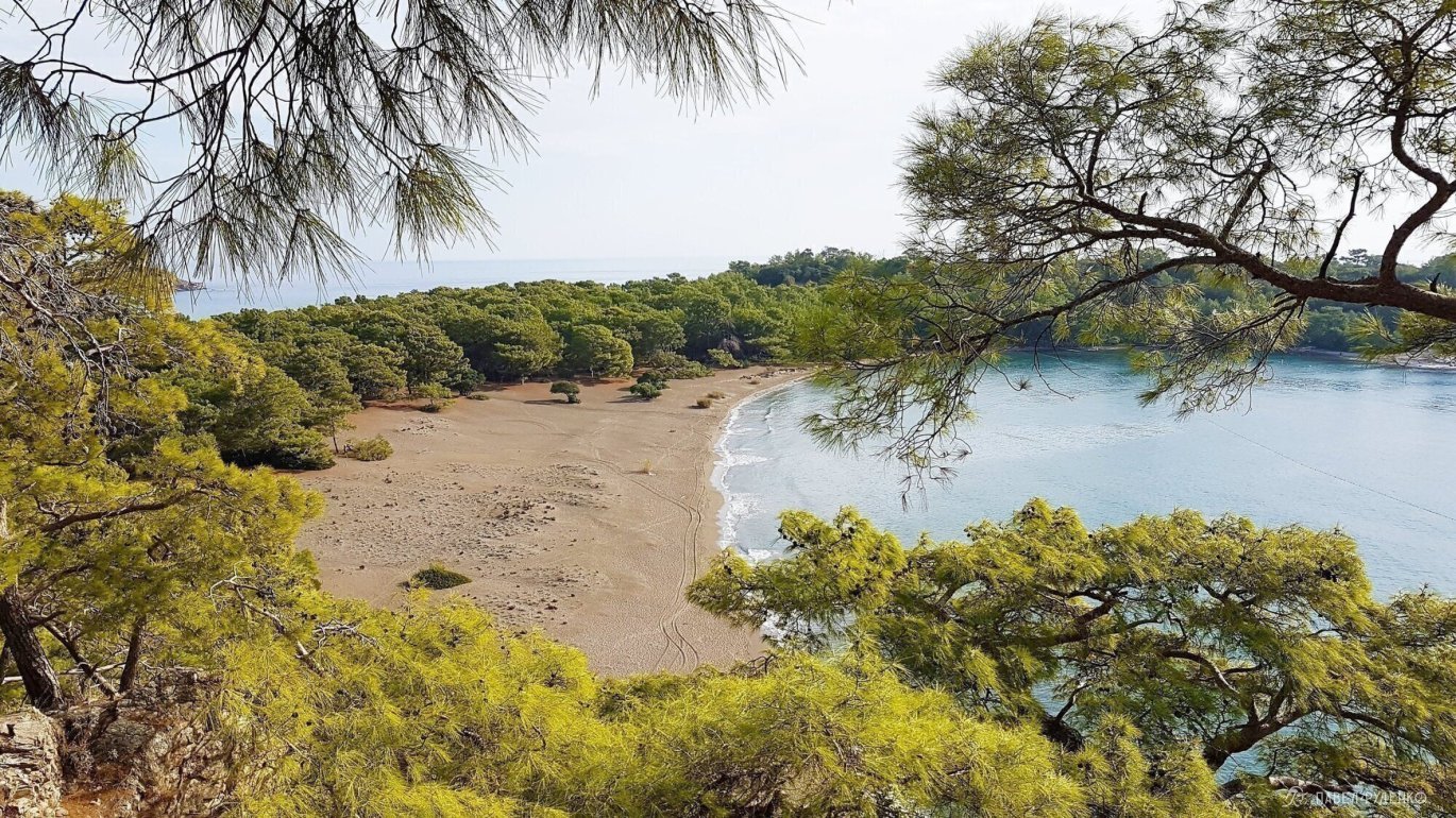
5 out of 5 points. Bay with swings north of Cirali. We allocated a whole day of rest for it. A rocky but green trail leads to it with a view of the azure sea. We were alone in the bay, relaxed in a hammock, swam. Drinking water is available 20 minutes walk towards Tekirova. The forest area of the bay is dirty, but you can find a decent place on the beach.
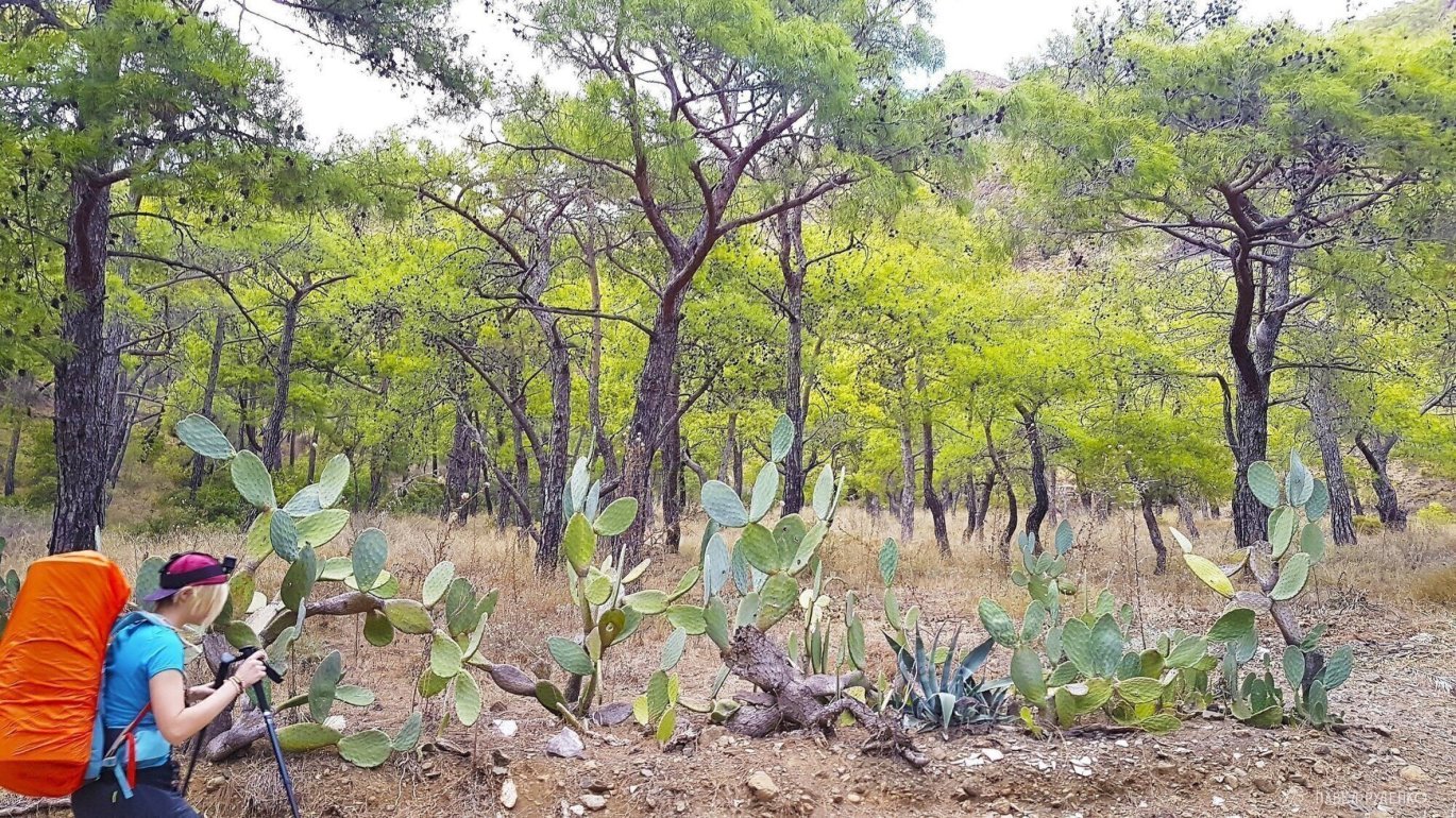
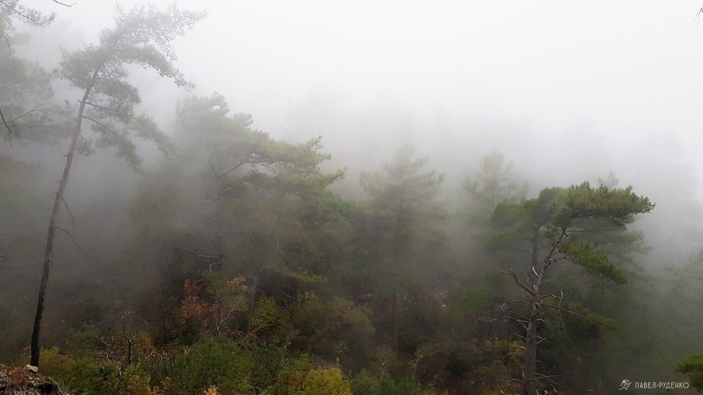
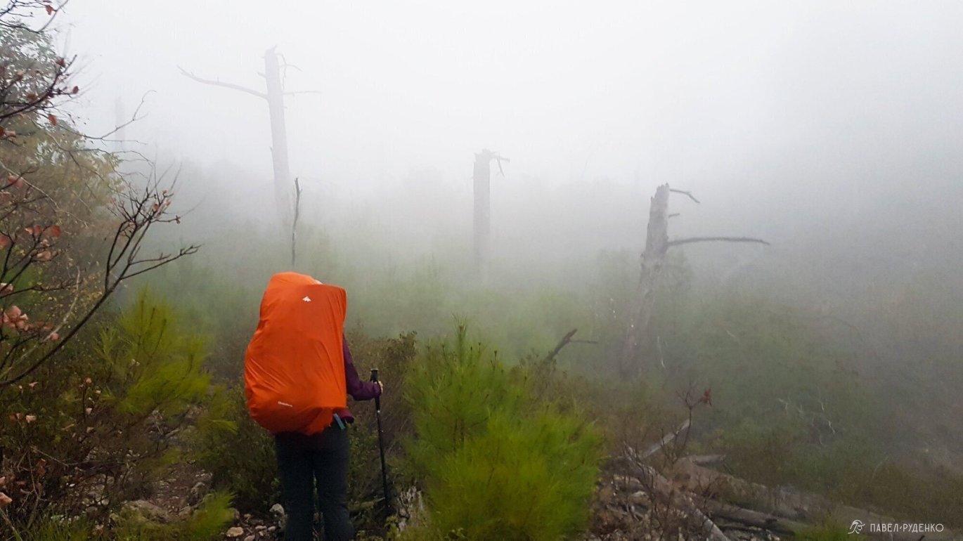
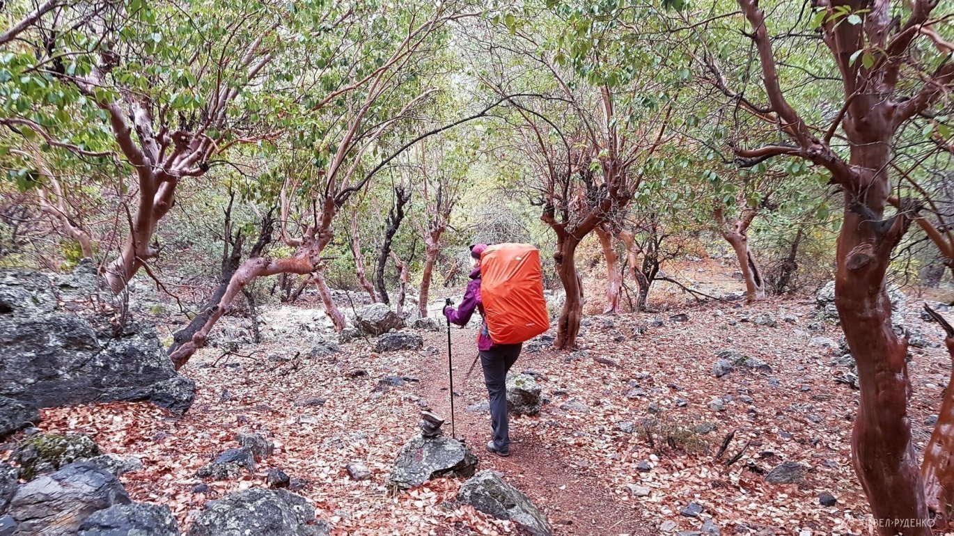
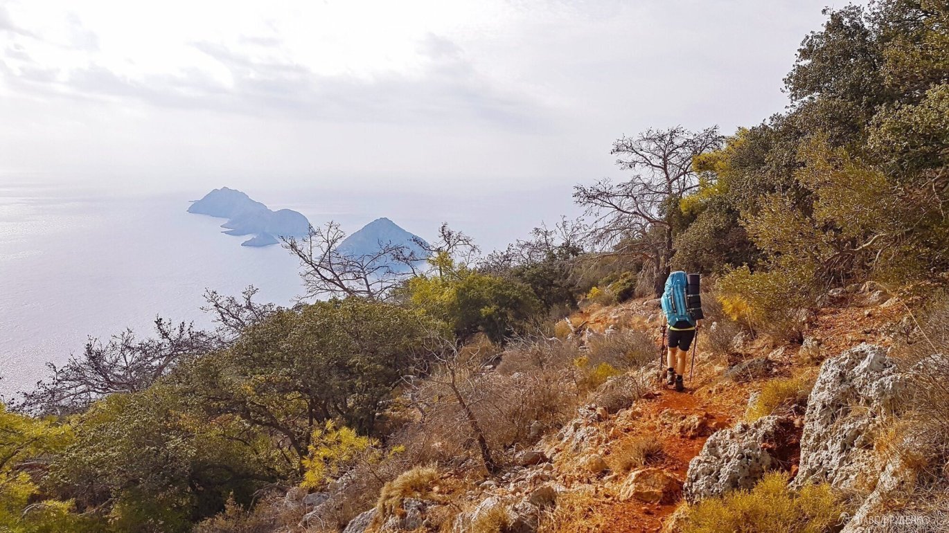
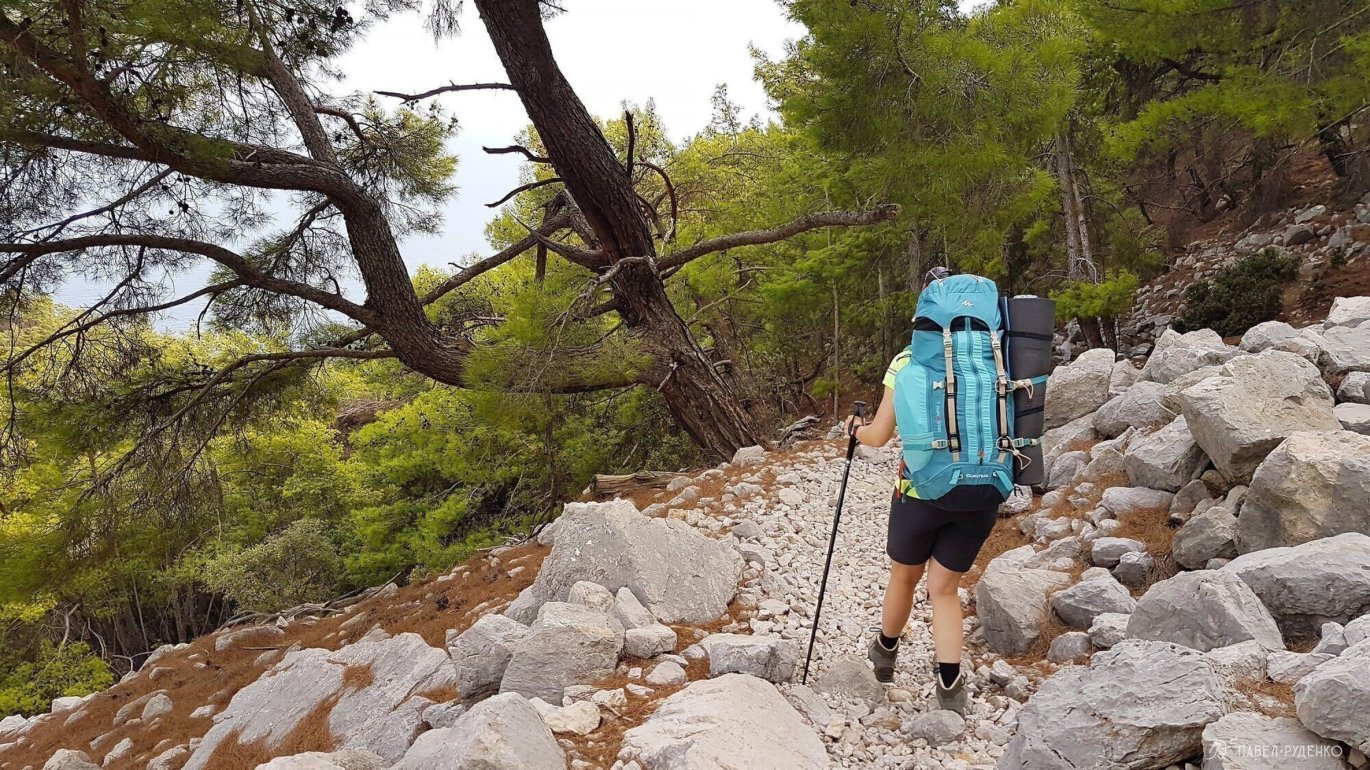
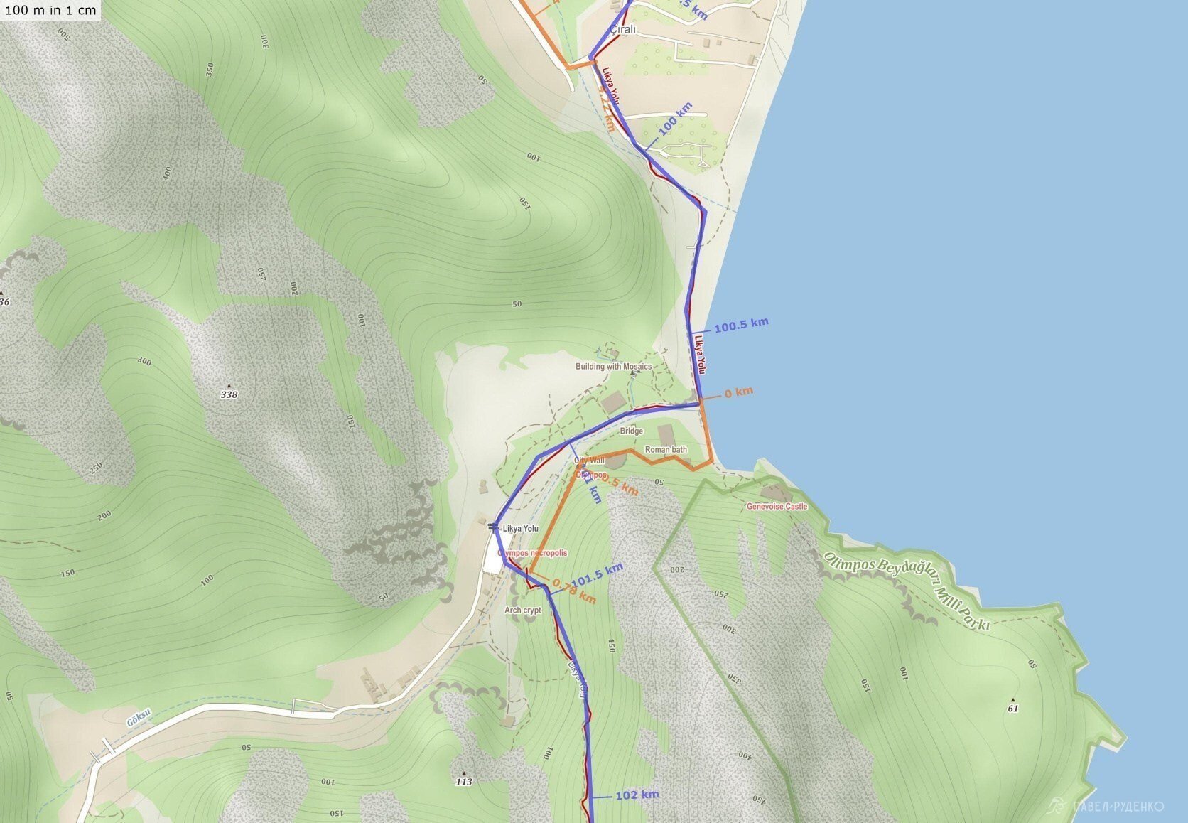
3 out of 5 points. Cirali – Adrasan through Mount Olympos. This is a direct road for lovers of antiquity and ruins. Elevation difference 700 m., the ascent and descent does not represent much beauty, due to the dense forest, all beautiful places are on the top. There are many fallen trees on the ascent that you will have to crawl under/over. Panoramic view only of the village with greenhouses. If you don’t have enough time, it’s better to skip it and follow the path to the lighthouse. Photos from the section:
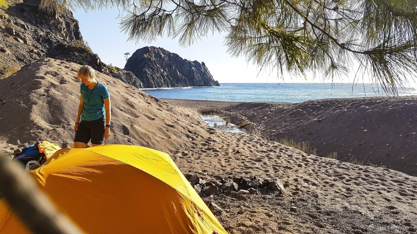
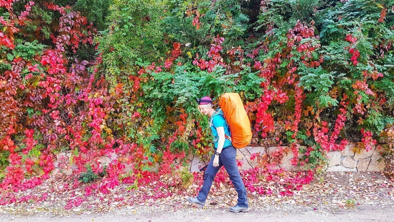
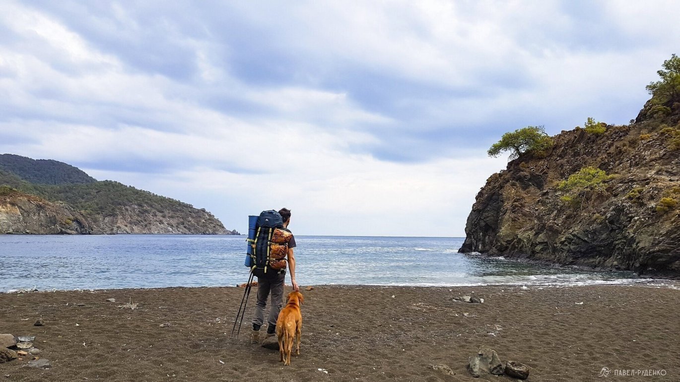
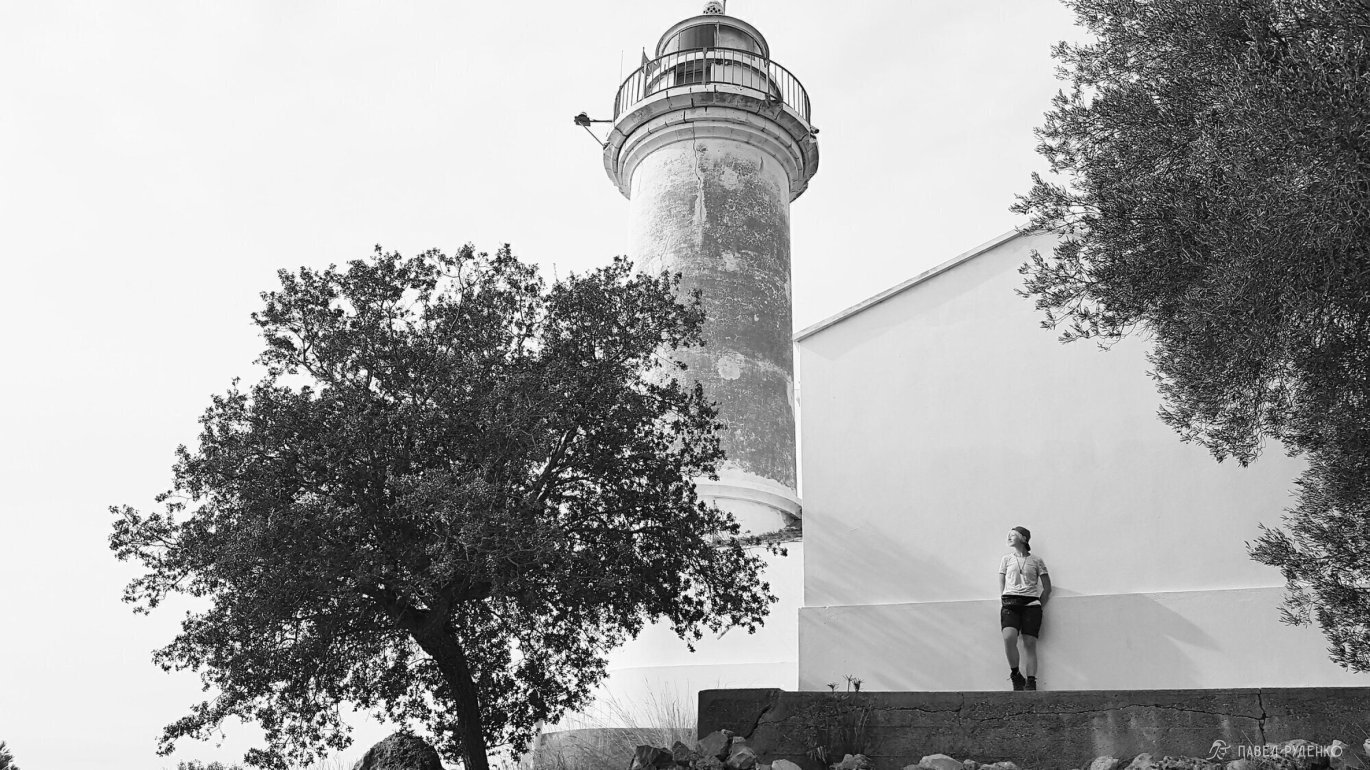
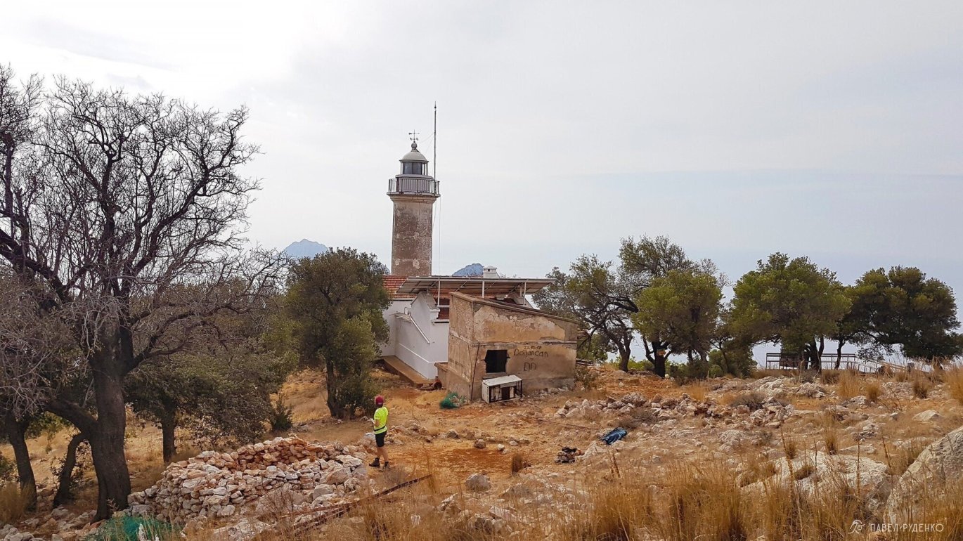
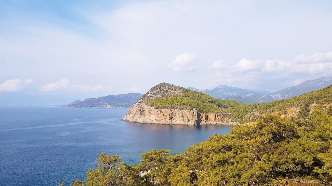
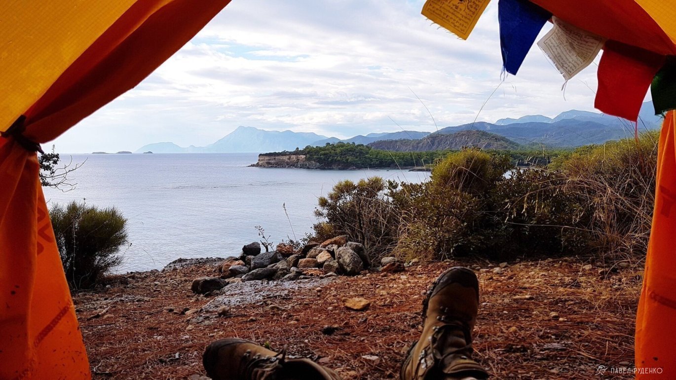
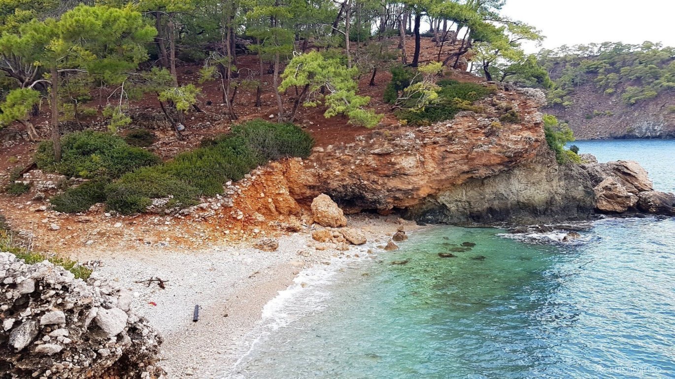
4 out of 5 points. Adrasan – Karaoz. A long trail with ups and downs to the lighthouse. The most beautiful views open from the lighthouse to Karaoz, so if you don’t have much time, you can go not from Adriasana, but from Karaoz and return back. There are gorgeous panoramas of the sea. At the bottom of the road there is a hard-to-reach coast with a stony beach, I wanted to collect water and go down to it for a couple of days, but it didn’t work out. The lighthouse itself was very dirty but beautiful. In this regard, it makes sense to pitch a tent in another place. On weekends, there are a lot of locals, it’s better to plan a route with a visit to the lighthouse on weekdays. From Karaoz there is a shuttle bus, departure at 13.00 to the bus station in Mavikent, where you can transfer to a bus to Antalya. Photos from the section:
5 out of 5 points. From Tekirova north to Alakasu beach, it’s next to the road under the Robinson club Camyuva hotel. The trail runs along the coastline with gorgeous landscapes. Photos from the section:
In total: It makes sense to cut, skip, take the bus only if there are strict time constraints. The whole trail has its own charm and special places in each section, where it is possible to meet animals or collect a bucket of oranges, at different times of the year, most likely, some sections would be rated differently. Therefore, I think it’s better to go from beginning to end, enjoying the process.
On the other side of Antalya, the St. Paul’s Trail begins. It is less popular and wild. I found official information that by 2020 it is planned to connect the Lycian Trail and St. Paul’s Trail, which will be very cool. The entire route will be about 1.100 km.
600 km northwest, it’s about 9 hours by bus, is Cappadocia. The place is cosmic, I recommend visiting.
PAID SECTIONS
National parks are free, a general permit for the entire trail is not required, but there are paid sections at attractions. At the sections: Gaynyuk Canyon, Chimera fires, Mount Olympos, beach and ruins of Phaselis north of Tekirova, you will have to pay or bypass:
When starting from Gaynyuk, you can pass for free only along the left bank of the river from the village, moving from the sea to the mountain and get to the Lycian Trail. To the right of the river, the passage is only through the ticket offices. When starting from Geikbayyry, Gaynyuk Canyon is passed for free, the ticket offices will remain on the left. Ticket 8 lira, that’s 88 rubles. Orange marks the bypass of the paid ticket office.
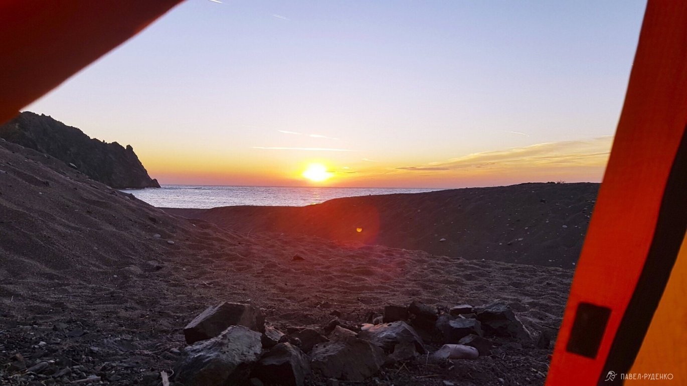
The Chimaera fires. You can get to the fires for free from the side of Beyik and Ulupinar, but at the exit to Cirali, there is a ticket office with security, and the police are on duty nearby. You can go around using the trail going to the right if you look at the sea, between the upper and lower fires. It is marked on the map with a blue dot, after 1.5 km, the hotels «Zumrun Cirali Butik Hotel», «Yoruk Park Pension» and «Ruya Pansiyaon» are marked with a green label, on the way you will reach Cirali. Note: near the upper Chimaera fires, you can set up camp, there is a good площадка for 5-6 tents with a gorgeous view of Tahtali. The purple mark on the beach is a secluded place for camping for 3-4 tents. Ticket price is 7 lira, which is 77 rubles. The bypass of the ticket office is marked in orange.
To Olympos, follow along the coast, the ticket office will be on your right at the rock, and you will come to the mouth of the river. Cross it and after 20 meters, in the middle of the small beach, behind the bushes, there will be a gap in the fence. Then, past the buildings, follow the trail away from the sea and soon you will be on the Lycian Trail. Ticket price is 20 lira, which is 220 rubles. The bypass of the ticket office is marked in orange.
Continuation in the next parts:


