
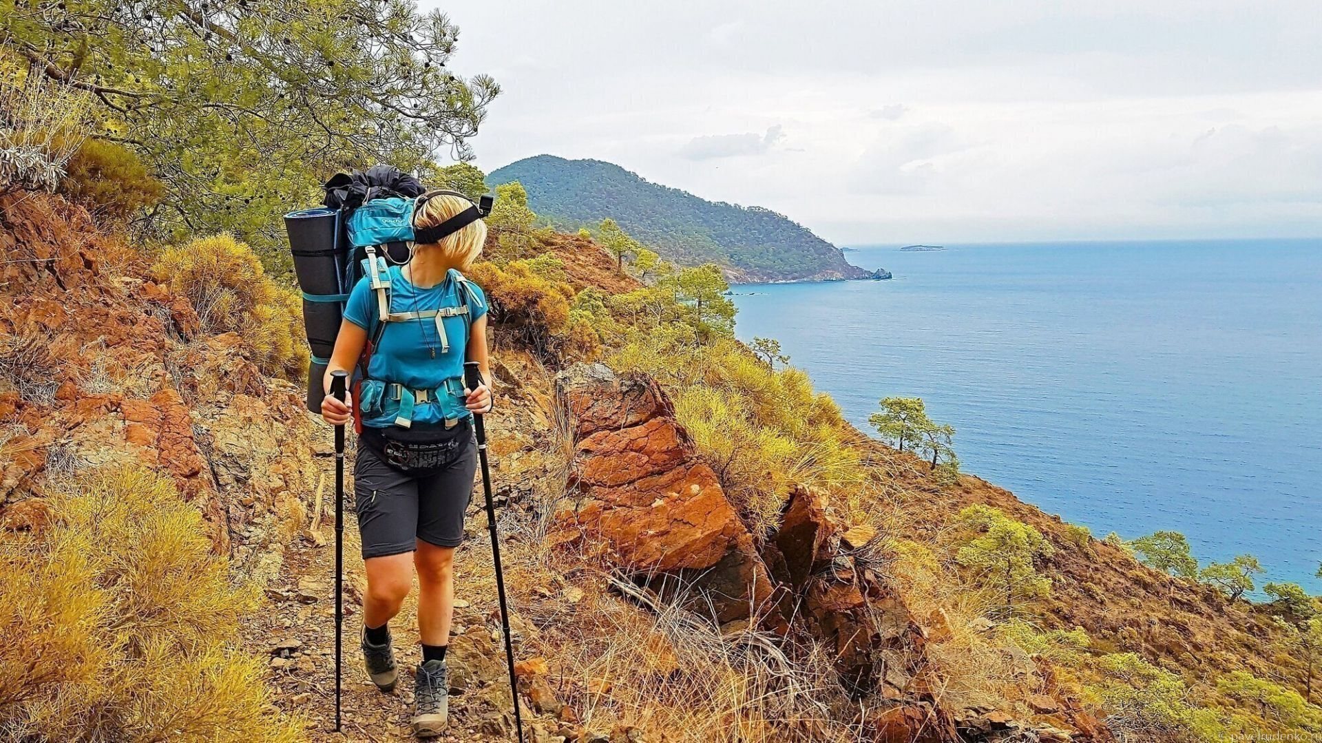
A detailed guide to the Lycian Way: a 4-PART article packed with comprehensive information for a self-guided trek and real stories from the trail: a dead cat in a water cistern, a run-in with security and police at the Chimaera flames, and a November lightning storm.
This article is based on personal experience and is designed to help fellow hikers. I tried to answer every question I had myself: from choosing a route and season, water availability, and maps of the most scenic spots, to hazards like snakes and scorpions.
In November, a friend and I completed the eastern section of the trail. The article also includes helpful information about the western and central sections.
Follow my Instagram for more inspiring and useful content!
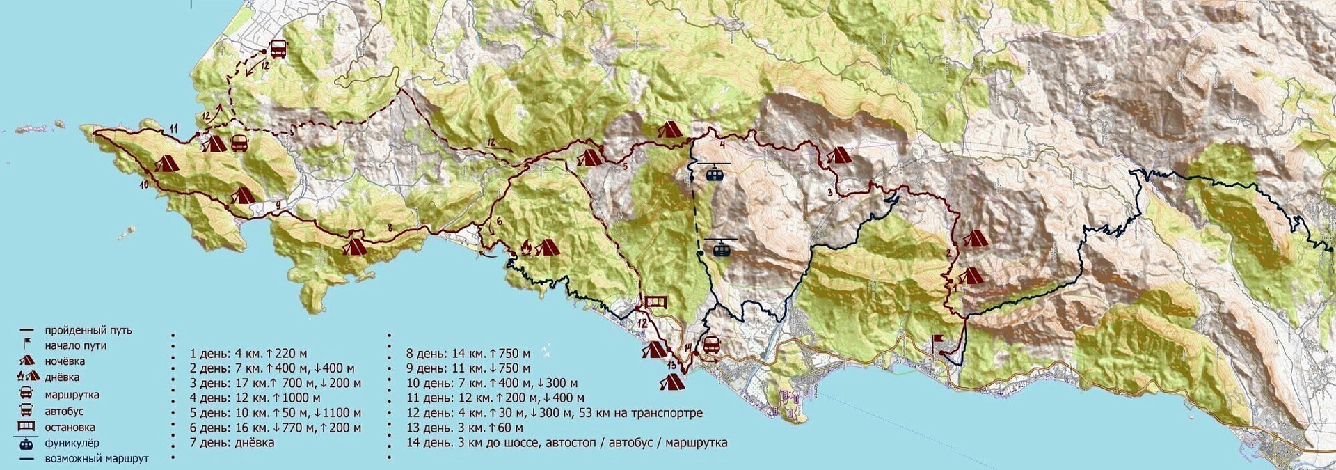
trek dates: November 10–23, 2018
distance covered: 130 km along the eastern section
duration: 11 days
route with elevation gain/loss:
- day. Göynük — overnight stay at the trailhead, 4 km, +220 m.
- day. Trailhead camp — riverbed camp, 7 km, +400 m, -400 m
- day. Riverbed camp — Gödelme, 17 km, +700 m, -200 m
- day. Gödelme — camp before Tahtalı Dağ pass, near the unfinished guesthouse, 12 km, +1,000 m
- day. Tahtalı Dağ pass camp — camp beyond Beycik, 10 km, +50 m, -1,100 m
- day. Camp beyond Beycik — Old Mine Bay, 16 km, -770 m, +200 m
- day. Rest day by the sea
- day. Old Mine Bay — Mt. Olympos summit, 14 km, +750 m
- day. Mt. Olympos summit — Adrasan guesthouse or pine forest past the village, 11 km, -750 m
- day. Adrasan guesthouse — camp before the lighthouse, 7 km, +500 m, -300 m
- day. Camp before the lighthouse — Karaöz beach, 12 km, +200 m, -400 m
- day. Minibus from Karaöz to Tekirova with a transfer in Mavikent, 53 km, 2 hours of travel. Tekirova — beach past the river, 4 km, +30 m, -300 m.
- day. Beach past the river — cliff-top camp, 3 km, 60 m
- day. 3 km to the highway, hitchhiking/bus/minibus to Antalya.
Pros and cons
What makes the Lycian Way so great? Here are 10 points I put together after completing the trek.
Pros:
- Easy navigation. A hiking route along a well-maintained trail. The entire path is marked with red-and-white trail markers every 100 meters.
- Versatile styles. Ideal for solo hikers, beginners, trail running, speed hiking, family trips with children, and tentless trekking*. It is not suitable for mountain biking: the trail is rocky, with fallen trees and significant elevation changes. Bike routes run parallel to the Lycian Way on paved roads with access roads to highlights and the sea. *A tentless trek is possible by staying overnight at guesthouses, except for one overnight stop along the central section between Demre and Finike. This is official guidance from Kate Clow, the creator of the trail. Naturally, hiking without a tent is only feasible during peak season in late spring and early autumn; hotels may be closed at other times.
- Sea and mountains in one route. The trail hugs the coastline with its beaches while periodically heading deep into the mountains. Countless bays and wild camping spots by the sea, along with built-in drinking fountains.
- Long-distance route. The total trail length is 540 km. Thru-hikers complete the entire route in 25–30 days, but most travelers choose either the eastern or the slightly less crowded western section—usually taking 5–12 days to cover 70–200 km. Convenient logistics with local buses running through villages. Day hikers can explore nearby trail segments and return to their guesthouse for the night.
- Extended hiking season. The trek can fit into almost any vacation schedule. In her guidebook, Kate recommends the optimal months from February to June and August to November, but winter and summer treks are also possible. See the weather chapter below for the best time to hike.
- Scenic route. According to The Sunday Times, the trail ranks among the world's top 10 most scenic hiking routes. While preparing for the trek, I came across this claim repeatedly. The trail is undeniably gorgeous, though objectively it sits closer to the top 50 global routes.
- Affordability. Inexpensive flights from Russia and the CIS. My Moscow – Antalya – Moscow round-trip flight in November cost only 8,500 RUB with checked baggage. No visa required for citizens of Russia, Ukraine, Belarus, and Kazakhstan.
- Beginner-friendly. Moderate technical difficulty, though elevation changes require decent physical fitness. Every 1–3 days you encounter villages with grocery shops, offering a simple way to return to civilization and exit the route if needed.
- Versatile activities. Easy to combine with other outdoor adventures, such as paragliding, scuba diving, sea kayaking, rock climbing, and rafting.
Cons:
- Paid sections. The trail passes historical landmarks and ruins that you might not even wish to visit, yet they require an entrance fee. It totals around 500 RUB per person along the eastern section. Below you will find tips on how to bypass these paid checkpoints.
- Litter. Some beaches and coves were dirty. There is noticeable litter near Cape Gelidonya Lighthouse. The locations themselves are stunning and secluded, but the trash detracts from the experience.
SUMMARY: An easy route for beginners, affordable flights, and hassle-free access. Beachside camping with swims in azure waters of secluded coves. Warm, dry climate suitable for hiking almost year-round. Diverse landscapes ranging from sea cliffs to mountain ridges. Delicious fresh fruit along the way. A well-marked and safe trail.
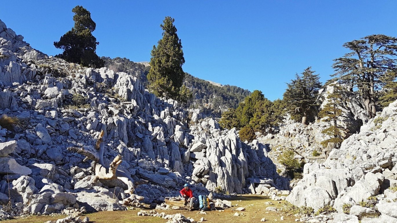
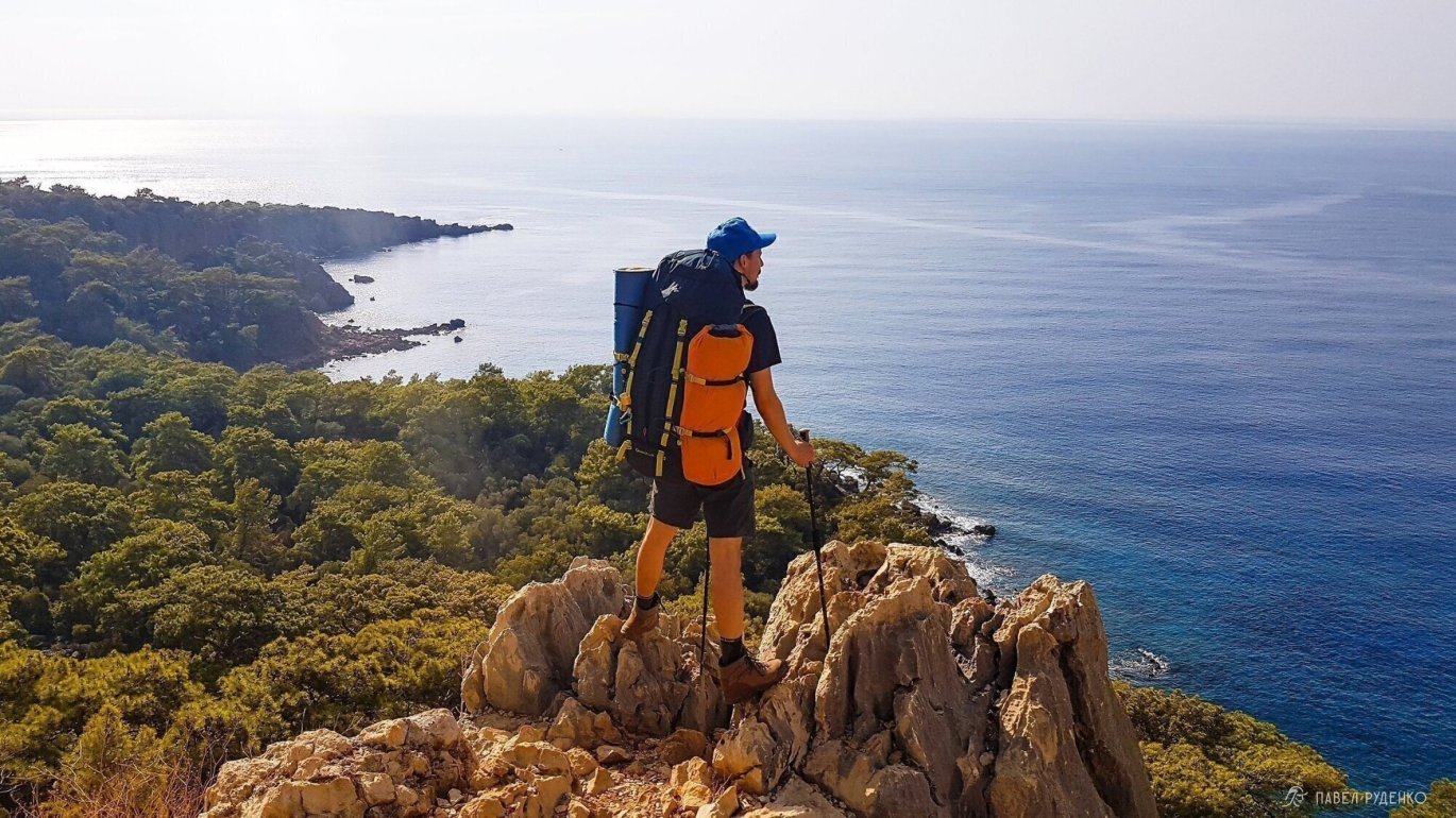
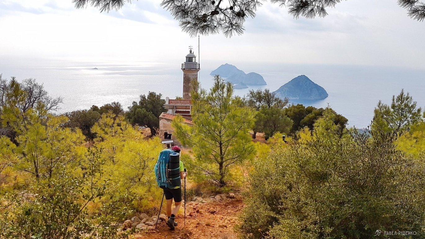
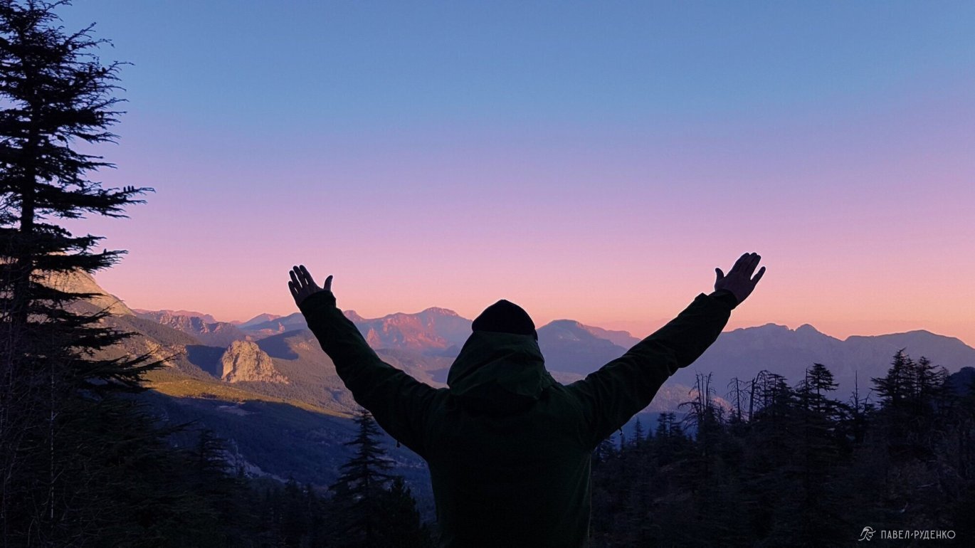
Weather
In her book, Kate Clow writes that the route can be hiked from February to June and from August to November. Having completed the trail, analyzed weather history over the past 7 years, and reviewed the experience of other hikers, I identified the best time of year with minimal precipitation and comfortable daytime temperatures of 22–26°C.
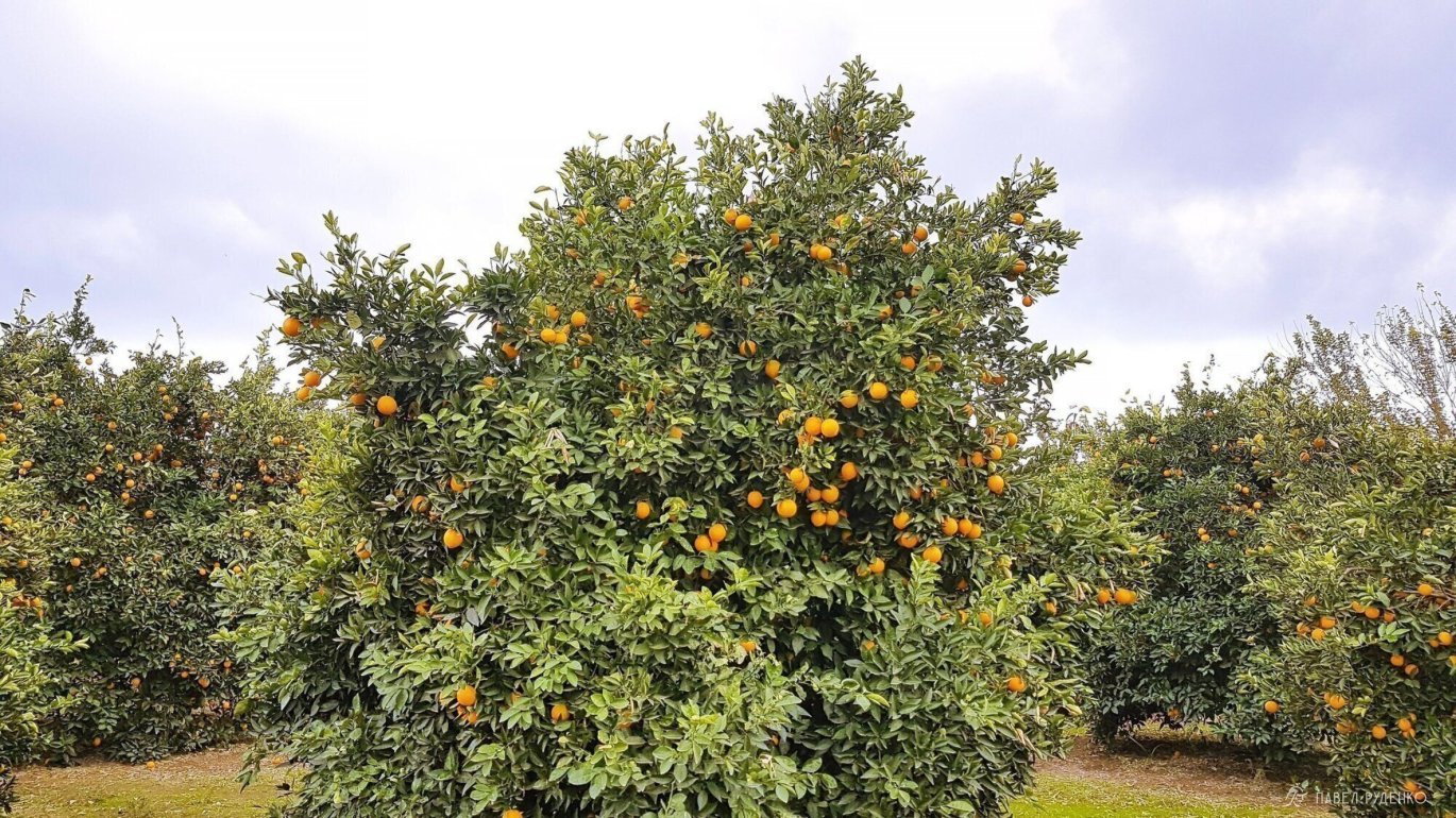
Spring. That is from April 5 to May 5 (+20°–25°C daytime, +10°–15°C at night at sea level). Above 1,500 m, there may still be snow. Trail markers will be hidden beneath it, so be sure to use GPS. March still brings frequent heavy rains and cool weather, while by mid-May temperatures climb to a sweltering +30°C. It is a great time to witness nature turning green and flowers blooming. April through May is also the season for oranges, medlars, and mulberries. There is plenty of drinking water along the route.
If you fly via Istanbul, the Tulip Festival takes place in April—a truly beautiful sight.
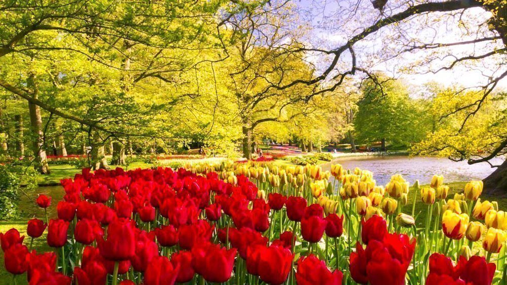
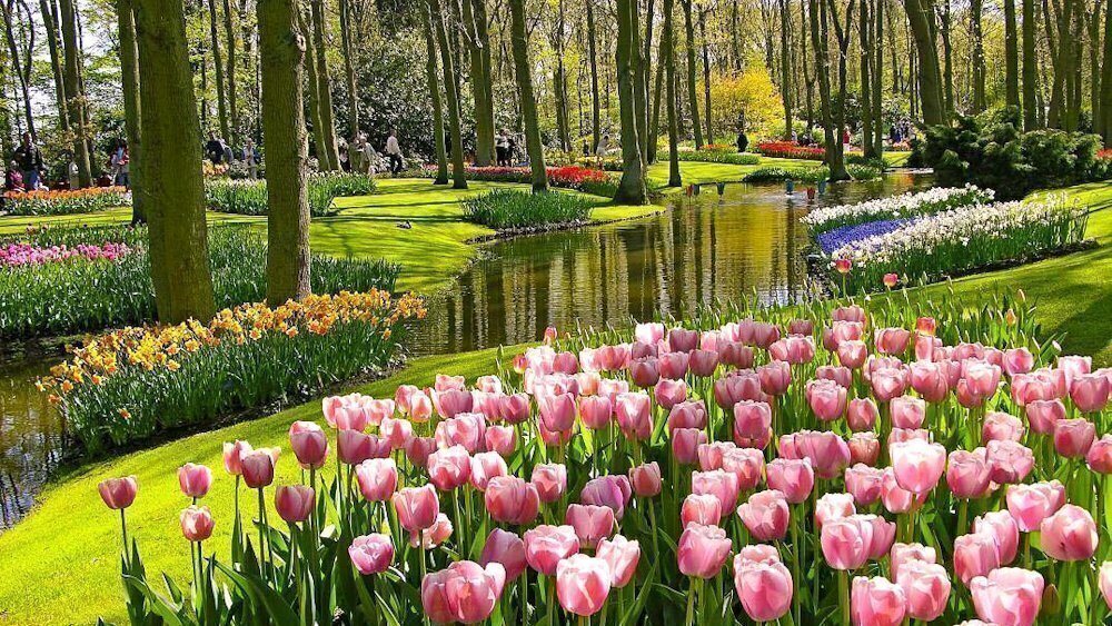
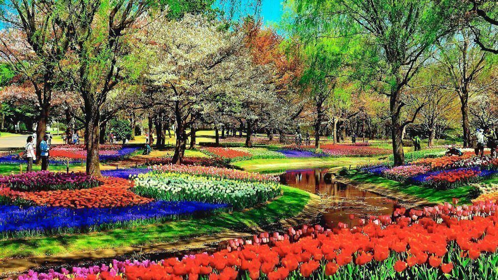
Photo from open sources, author could not be identified.
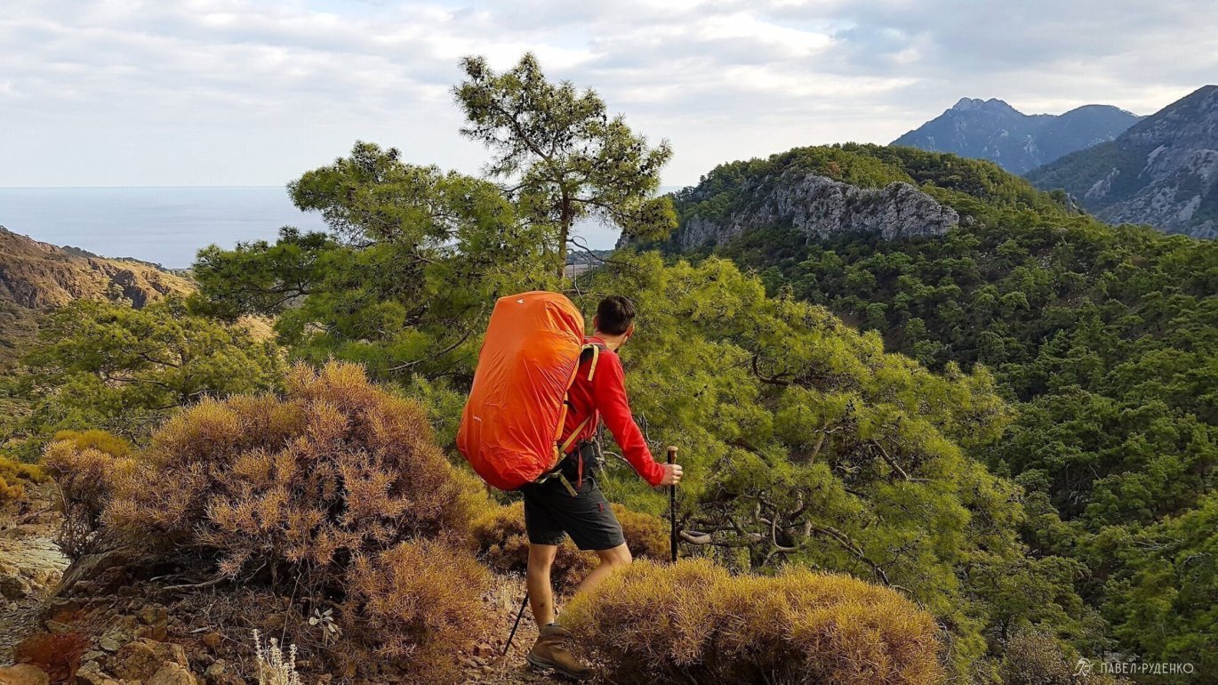
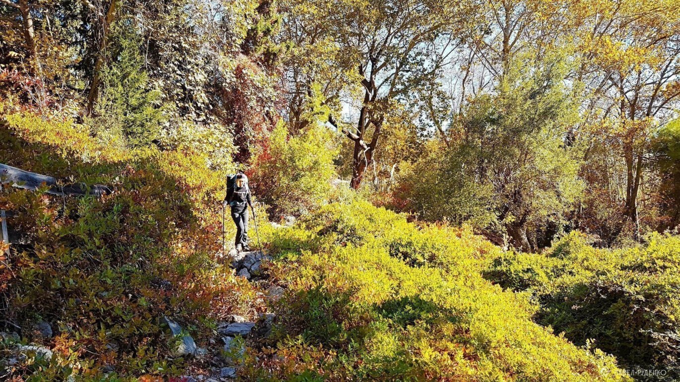
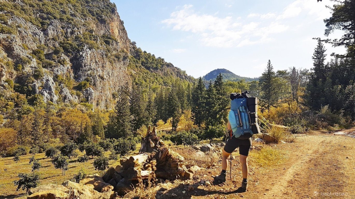
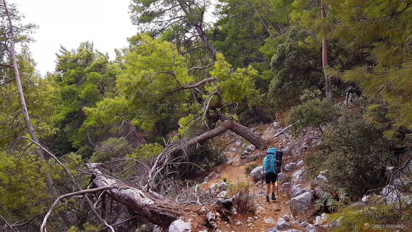
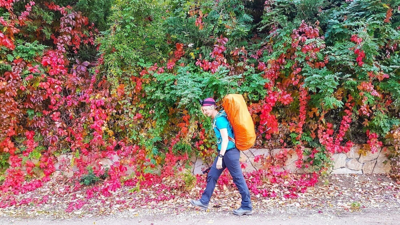
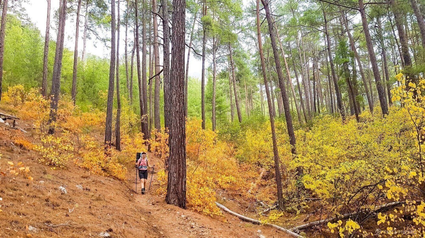
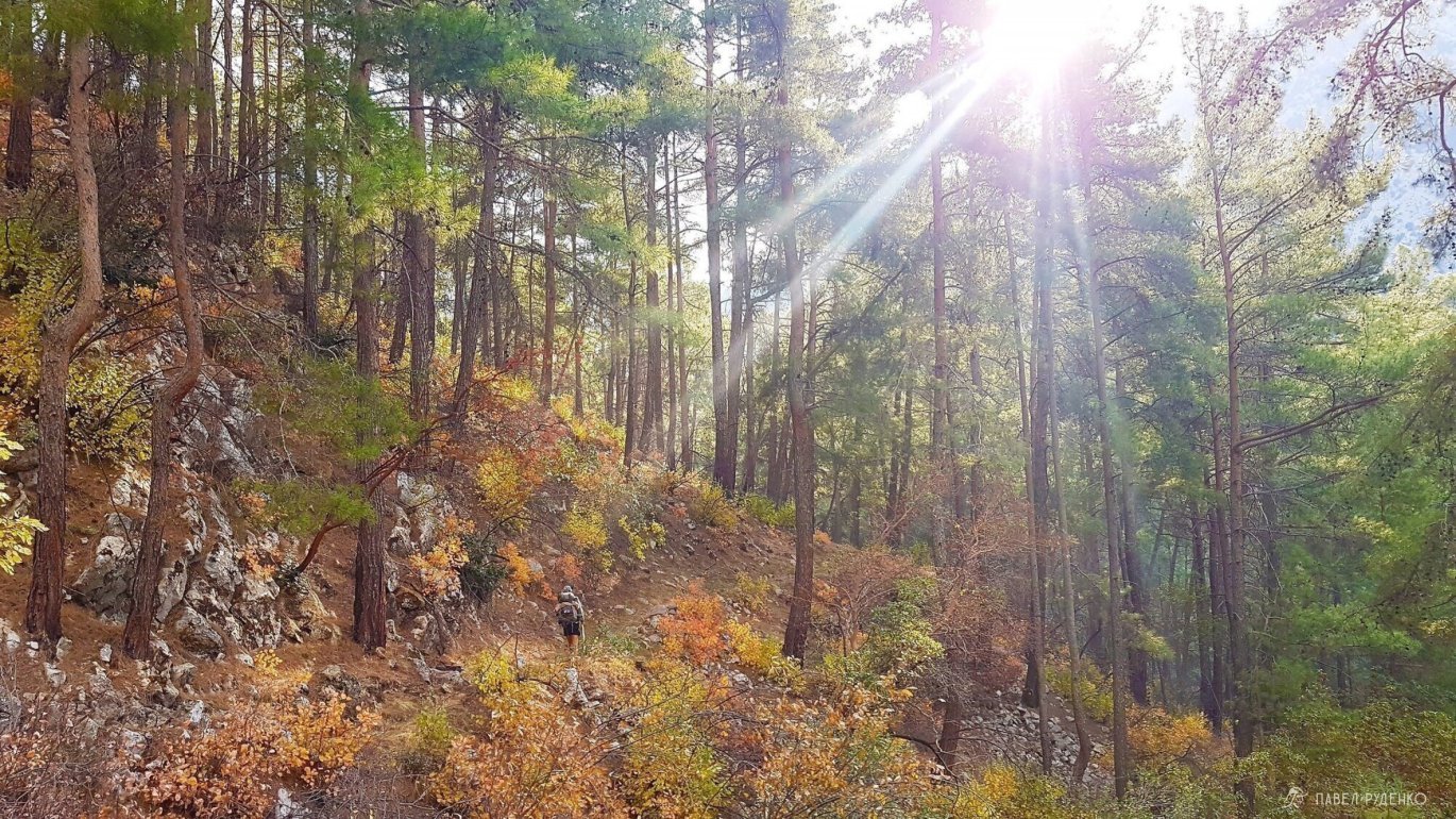
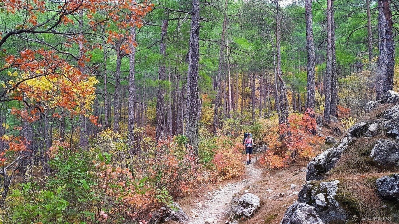
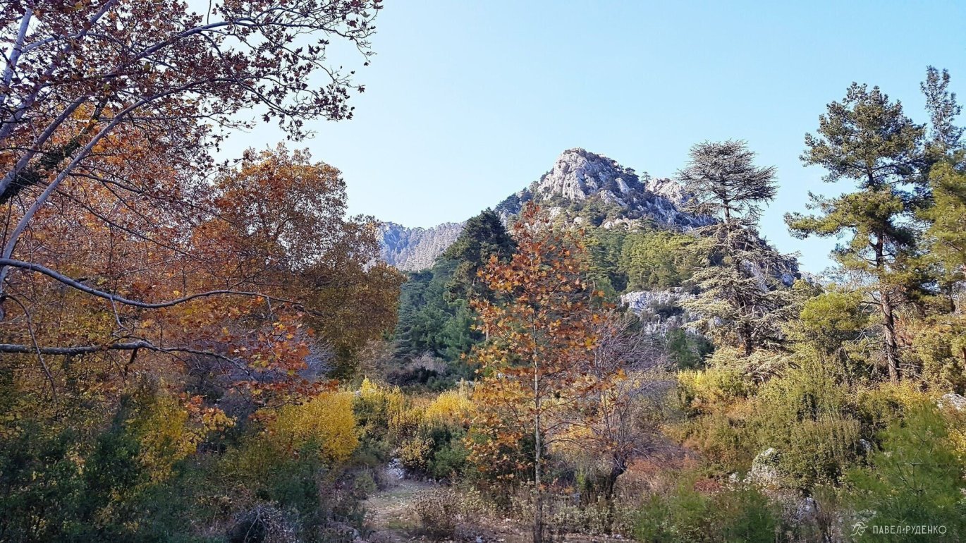
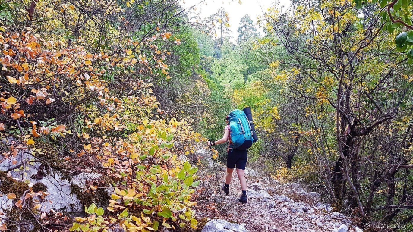
In Autumn. From October 1 to November 5 (+24° to +28°C during the day, +10° to +19°C at night at sea level, and +19° to +26°C day / +5° to +10°C night at 1,000 m above sea level). In the mountainous sections, thick fog and dense clouds are common. The entire route bursts with vibrant green and yellow colors; it was truly wonderful to crunch dry autumn leaves underfoot while soaking in the lush greenery.
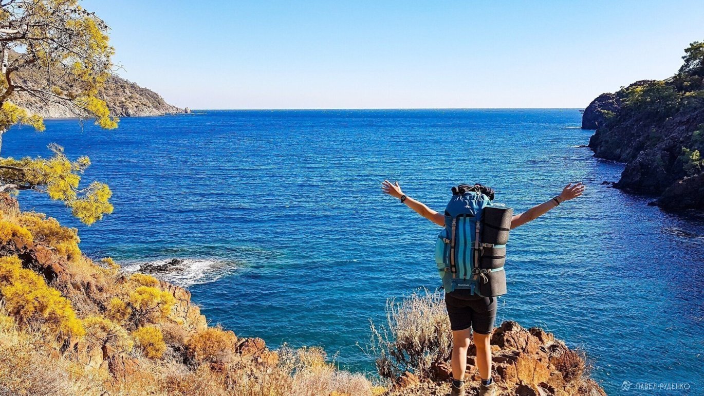
If you want to swim comfortably, check when the water temperature tops 25°C. The beaches are mostly pebbly, so protect your feet—there are often sharp rocks on the seabed, and a deep foot laceration could jeopardize the rest of your trek.
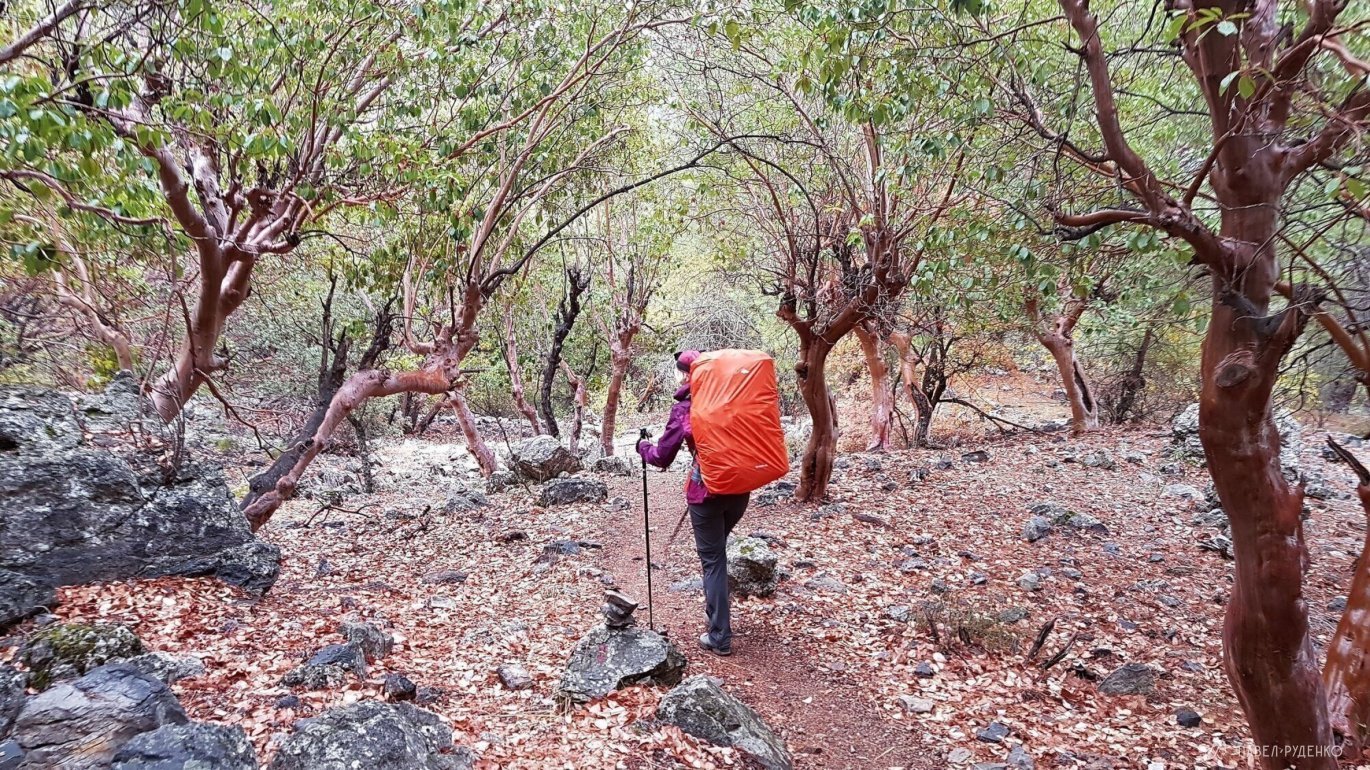
In Summer. An exhausting season: drinking water sources dry up, especially in the central section, where water is mostly stagnant in wells and cisterns. From June to August, temperatures frequently soar to +40°C, and the lack of shade makes trekking very uncomfortable. The landscape is scorched by the sun, lacking the beauty of other seasons. There are few hikers on the trail.
It is best to avoid traveling during Ramadan (for example, May 5 – June 7, 1990 and April 23 – May 26, 2020). Shops and restaurants can be closed during the day. After Ramadan, festivities and feasts continue for another 4 days. Also, during a previous hitchhiking trip to Turkey, I found out that truck drivers are not allowed into major cities like Istanbul during holidays. Keep in mind that Ramadan dates shift every year—simply Google “Ramadan dates in Turkey.” In addition, during Eid al-Fitr (Seker Bayrami) and Eid al-Adha (Kurban Bayrami), public transport and beaches are overcrowded, and shops may be closed.
In Winter. Usually around the January holidays. During this period, winter trekking experience is strongly recommended. Keep in mind that severe storms and heavy snowfalls are possible from mid-December to early February. Above 1,000 m, snow covers the trail markers, making a GPS navigator essential. On the upper sections of the pass, you will have to break trail through meter-deep snow. Precipitation occurs on roughly 30–50% of the days. The river near Göynük Canyon swells significantly and you will likely have to ford it, with water potentially waist-deep. If the current is too strong and the water level is too high, you can bypass this section from Kemer to Gedelme. Because of this, it is vital to monitor the weather forecast and be mentally and physically prepared. Carry the proper gear and, if necessary, adjust your route to take a safer path. Most guesthouses and cafes are closed in winter. Some grocery stores remain open. Mountain sections of the trek are practically devoid of other hikers.
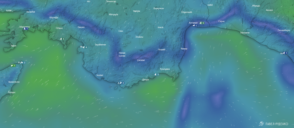
The coastal weather is unpredictable, and wind directions vary across sections due to the terrain. Temperatures can differ by 5–7°C within a 30 km radius. Source: Windy.com.
For every 1,000 m of elevation gain, the temperature drops by an average of 8°C.
In Turkish sources, I found a recommended weather forecast website for Turkey: www.wunderground.com. It is handy if you want to check estimated temperatures for your trek dates in advance. Enter the town closest to your route, select Full Forecast —> History —> Monthly. Check the temperatures, precipitation, and plan accordingly for your trip.
During the trek itself, I always use meteoblue.com. It provides very detailed forecasts, precipitation amounts and probability, plus wind speed and direction at different elevations. Hovering over an icon explains each metric. On a trek, you need to take the weather seriously—you are in an unfamiliar climate and at high altitudes where visual observations can be misleading and insufficient. I always buy a local SIM card to check updates every 1–2 days; the Lycian Way has mobile internet coverage almost everywhere, which I cover in more detail in another section.
Water
There is plenty of water along the route. Sources marked on Maps.me are accurate. In addition, you can ask locals or mosques for drinking water.
In July, August, and September, water cisterns and wells might run dry; these are located in the central section and marked as "Cistern" on the map.
From June through late October, be cautious with water. This is when livestock are driven to distant pastures. In addition to mandatory boiling, consider using a filter, purification tablets, or iodine.
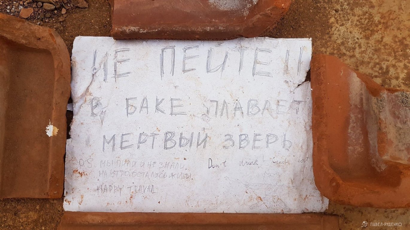
In the eastern section, between Adrasan and Karaöz, there is no water. Stock up before starting this segment. For two people, we carried 5 liters, planning to camp by the lighthouse: 1.5 L for dinner, 1.5 L for breakfast, and 2 L for the hiking day and the following morning, plus plenty of fruit. At the lighthouse, the water in the cistern was contaminated. Fortunately, someone had left a note:
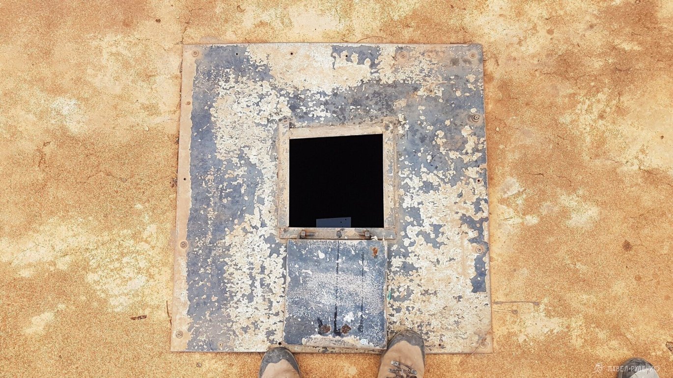
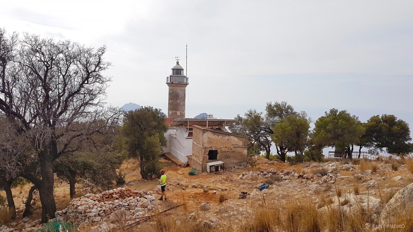
The tank is encased in concrete and located at the far end of the lighthouse.
In short, here is the story: a month earlier, a cat fell into the tank and couldn't climb out. A couple of weeks later, word reached the locals; a local man came to inspect it, pulled out the cat, and declared that the water was fine to drink…))))
When I shone a flashlight inside, I could hardly believe my eyes! There was trash floating everywhere—from empty chip bags and bottles to organic waste. Nobody cleans the tank, and it only fills up with rainwater. Be very careful about drinking from such cisterns. The nearest drinking water source was two hours away, at Pirate Bay (Korsan Koyu).
I recommend bringing a water filter: water both from town drinking fountains and along the trail often contains sediment and tastes unpleasant.
For this trek, I bought an Aquaphor filter that attaches directly to the bottle neck. Convenient, affordable, and it did the job.
Maps.me lists all active springs, but some can dry up. The higher into the mountains, the cleaner and better-tasting the water. The closer to the coast, the worse it gets: a brackish taste and odor appear. I filtered such water and sometimes boiled it as an extra precaution.
On other sections in the eastern part, I encountered 1 to 3 water sources per trekking day. These include streams, drinking fountains, and piped spring water by the roadside.
I didn't tie my campsites to water sources—I prefer scenic views, so I simply carried what I needed, typically around 3 liters.
Cisterns and wells that resemble flat stone slabs are not always easy to spot. This isn't a quaint garden well at grandma's! Sometimes worn-out ropes snap or the water is simply unreachable at the bottom of the cistern, so make sure to pack some accessory cord. You can also use it as a clothesline or as emergency bootlaces.
Food & Stores
Every 2–3 days, you will come across small village shops with essential provisions. You can buy bread, cheese, milk, ketchup, sausages, and occasionally salami and frozen chicken. For sides, there are rice and pasta. A wide selection of cookies, fruit, vegetables, batteries, duct tape, and other sundries. No oatmeal, sir, nor any other porridge grains. There are no instant trekking meals either, except for low-calorie powdered soups. Therefore, you must purchase all other provisions in advance. Quality meat is unavailable, so pack homemade dried meat, pemmican, basturma, freeze-dried meals, protein shakes, etc.
Shops often lack price tags, and I was overcharged in one of them. Ask for the price of each item and double-check the total at the register yourself.
Shops in the eastern section: in Göynük; in Gedelme, Beycik (the shopkeeper overcharged me), Çıralı (3 well-stocked stores at the village entrance and in the center), Tekirova (a large supermarket by local standards at the entrance to town), Kemer (a large supermarket, full civilization), Adrasan (in mid-November, shops and cafes were closed, though we managed to get hold of one owner), Karaöz (an excellent minimarket).
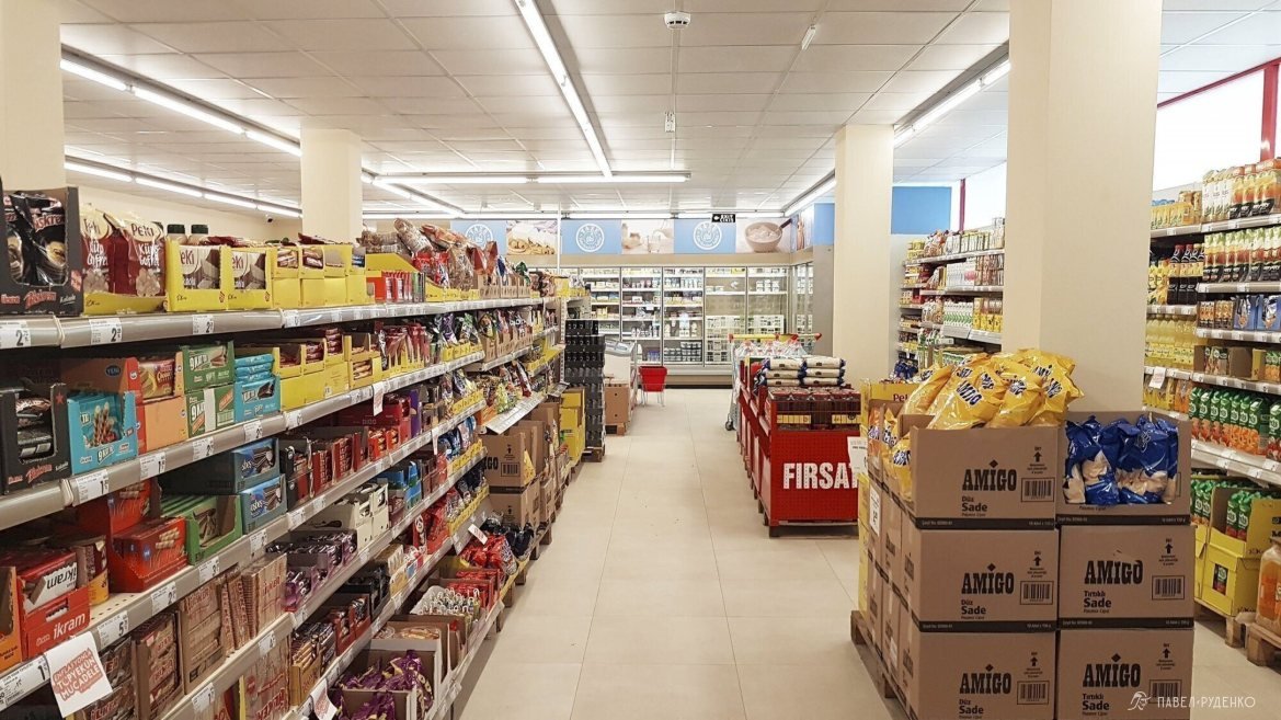
A wonder orzo pasta called Piyale Arpa Senhriye, absolutely delicious, highly recommended. Cooks in 20 min, 30 RUB for 500 g.
Fruit seasons:
Winter: citrus season.
April: loquat (start of season), strawberries, black mulberry, oranges (end of season).
May: sweet cherries, strawberries, oranges, loquats.
June: loquats, apricots, sour cherries (start of season), plums, nectarines, melons (start of season).
July: watermelons (start of season), melons.
August: pears, early grapes, apples, peaches, figs (start of season), watermelons.
September: watermelons, pomegranates, figs, grapes, peaches.
October: oranges (start of season), lemons, persimmons, quince, pomegranates, avocados, tangerines.
Sourced from the web, author unknown.
Route Selection
5 options for hiking the Lycian Way:
1. The entire trail: 540 km, 8–30 days. Highly dependent on your pace and travel style. Usually hiked from west to east, from Fethiye to the village of Geyikbayırı. The reverse route is also possible: in some sections, you benefit from longer descents, in others, from climbs.
2. Western section. Worth doing for the beaches and coves, with more civilization along the route. There are scuba diving spots: hikers on the trail mentioned having a great, affordable diving experience.
3. Eastern section. The most popular section, a more mountainous route passing through the highest point of the Lycian Way — Mount Tahtalı Dağı. At the start of the route, you can do some rock climbing. In Geyikbayırı, there are plenty of climbing routes and gear rental shops. There are trail sections along the beach and gorgeous coves between Çıralı and Tekirova. Beautiful Cape Gelidonya with an old lighthouse.
4. Central section. Less popular section: lots of paved roads, water issues, thorns. If you are hiking without a tent, the 40 km section from Demre to Finike with significant elevation gain must be covered by transport, as there are no guesthouses.
5. Day hiking. If you are not ready for a full trek, it is very convenient to do short day trips here. You explore nearby sections of the trail and return to your guesthouse. If you are open to moving around, you can split your vacation between a couple of towns to explore more sights. For example, in Çıralı you can see the Flames of Chimaera, visit the ruins of Olympos and the coves towards Tekirova. In Karaöz, hike to the lighthouse at Cape Gelidonya and the pirate bay near town.
For your convenience, the article is split into 4 PARTS; you can jump to the next part below.
Also, watch my lecture on the Lycian Way at the Sport-Marafon Travelers Club!
To be continued in the next parts:




Comments (0)