

Khibiny. Useful Information for a Self-Guided Trek
- Khibiny. Useful Information for a Self-Guided Trek
- Why Choose the Khibiny Mountains
- Terrain and Features of the Khibiny
- Maps & route
- Weather. The best season for trekking
- Transport: How to get to the Khibiny
- Mobile coverage on the route
- Gas and Campfires
- Water
- Risks and Hazards
- Registration with EMERCOM
- Tent camping essentials and nuances
- Read other articles about the Khibiny:
I have trekked in the Khibiny in June, August, and September. Here is all the essential information you need to plan a self-guided hike.
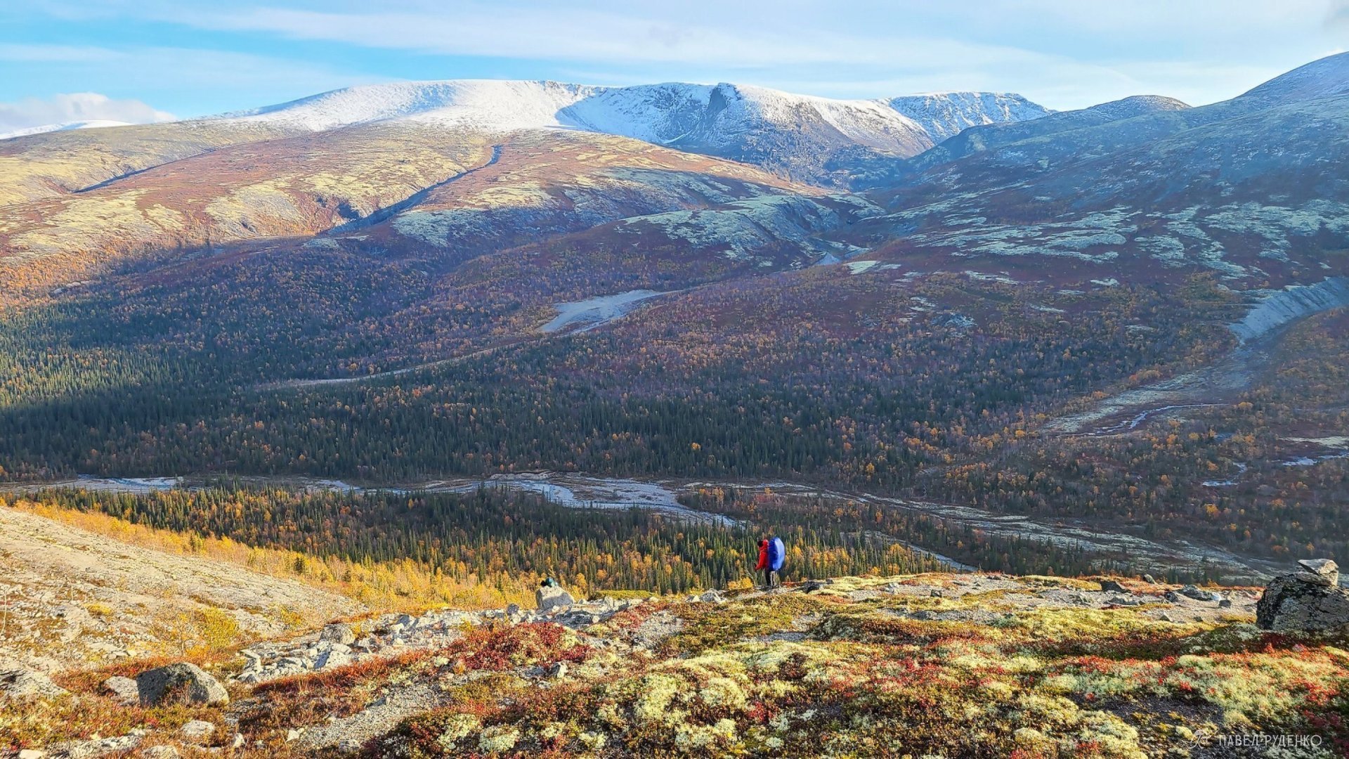
View of the non-graded Loparsky Pass, Khibiny, autumn, September 22.
Why Choose the Khibiny Mountains
I could trek endlessly across the North; its vast open spaces, atmosphere, vistas, and wild nature are simply captivating. The Khibiny is the most popular hiking destination on the Kola Peninsula and its largest mountain range. Nearby lies the Lovozero Tundras hiking area and the lesser-known Monchetundra ridge.
In the heart of the Khibiny massif lies the rescue service outpost (KSS EMERCOM), 18 km along a dirt road from Kirovsk. This is a huge asset for both safety and logistics. You can arrange a drop-off into the heart of the mountains in summer and winter, as well as quickly evacuate if needed. Next to the rescue station is the Kuelporr tourist lodge with a hotel and a banya (sauna). It is open in winter from late December to early April, and in summer from July to mid-September; it closes in the off-season because the road becomes impassable.
The highest point is Mount Yudychvumchorr at 1,200 m. That might seem modest compared to the heights of the Caucasus—and I’ve trekked in the Himalayas, surrounded by eight-thousanders. Yet, due to their Arctic latitude, these modest mountains retain all their raw power, beauty, and harsh wilderness. The perks: no altitude sickness, no endless grueling ascents and descents, meaning less fatigue and less strain on the knees. At the same time, there are plenty of gorges and passes to keep you coming back and exploring completely different routes.
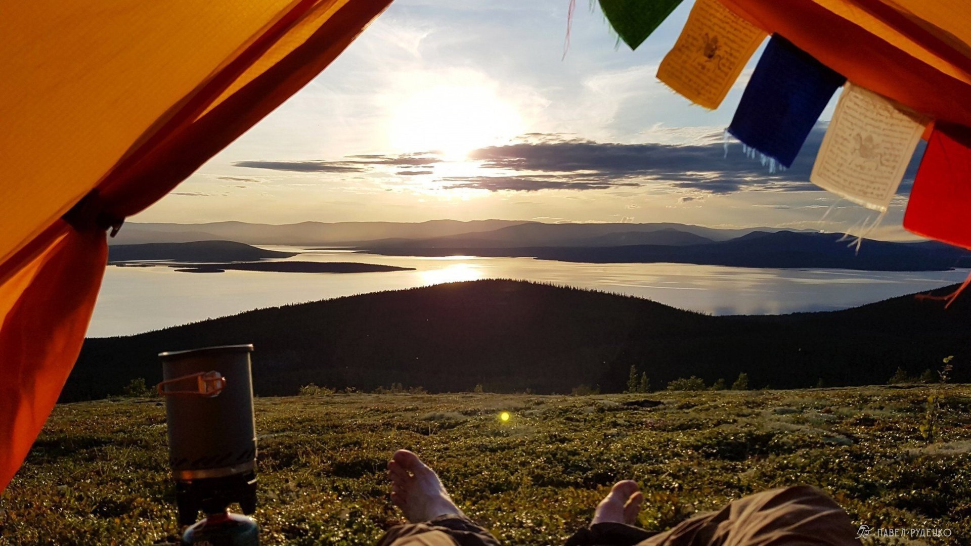
View from the tent of Lake Imandra, on a fell near Aku-Aku, Khibiny, summer, August 18.
Compact size. Thanks to its compact footprint, you have countless route options ranging from 2 days to 2 weeks completely self-supported. Safety is also enhanced: in an emergency, civilization is never too far away.
Breathtaking scenery. Even at these elevations, snow can remain on the summits, and a 500-meter elevation gain transforms the landscape completely—from lush forests into barren tundra and boulder fields. In summer, enjoy the midnight sun, while the Northern Lights become visible from late August.
Total freedom. There are no restricted zones, permits, or passes required. Experience true northern freedom: trek wherever you wish and pitch your tent wherever you choose.
Convenient logistics. Reaching the Khibiny is both fast and affordable. There is an airport nearby, as well as the Apatity-1 railway station, and trails into the mountains start right from Kirovsk—no specialized drop-offs needed.
No ticks. Due to the subarctic climate, there are zero ticks, snakes, scorpions, or dangerous spiders. Insects are generally sparse, so you can relax on the grass without worry.
Find more northern beauty on my Instagram—come check it out and follow! :)
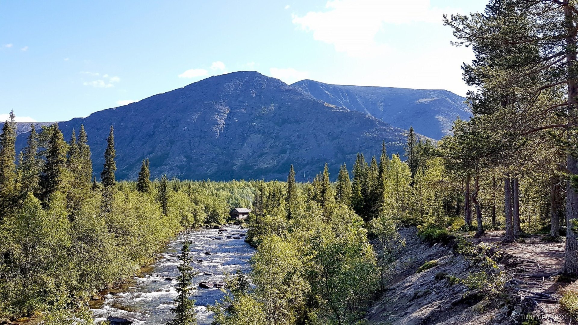
Kuniyok River, center of the Khibiny, view of the rescue station, summer, August 15.
Terrain and Features of the Khibiny
The mountain range spans a compact 40 by 40 km, yet features an abundance of passes and gorges. This allows for an endless variety of routes in both winter and summer. For example, the nearby Lovozero Tundras, despite being similar in size, offer far fewer trail combinations. During my summer trek, the rescue service mentioned that 700 hikers were registered across the range. Among them, only one was trekking solo like me—a girl, and the rescuer smilingly wished me luck in crossing paths with her! Yet over the entire week, I encountered only two small groups, even while following a popular route. The area is never crowded: no jostling on the trail, no trouble finding pristine camp spots.
The peaks are predominantly jagged, though plateau-shaped summits also occur. Most mountain passes reach their crests at 900–1,000 m, about 100–200 meters below the peaks. Passes vary in difficulty, ranging from non-graded (unclassified) up to Grade 2A. They feature boulder and scree fields of different sizes; the larger the rocks, the more challenging and treacherous the footing. Some rocks are loose, requiring keen vigilance on the passes. However, the rock surface is quite rough, offering much better grip than in the Caucasus or the Trans-Ili Alatau in Kazakhstan.
Melting snowfields and alpine tarns feed streams that turn into rushing rivers down in the gorges. Rivers are crossed either by wading or via improvised bridges. Well-defined paths exist in all popular directions, making travel efficient and straightforward.
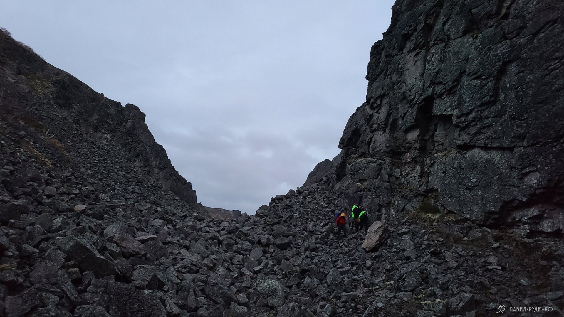
The northern part of the Aku-Aku Gorge, Khibiny, September 26.
Sign up for the best treks across the Kola North:
Maps & route
Below you will find two tracks with maps for different routes. To download GPS data for Garmin or KML for maps.me, click the three dots to the right of the track name, select “Save as GPX” or “Save as KML”, and import it into your app. To download printable paper maps, click the button below.
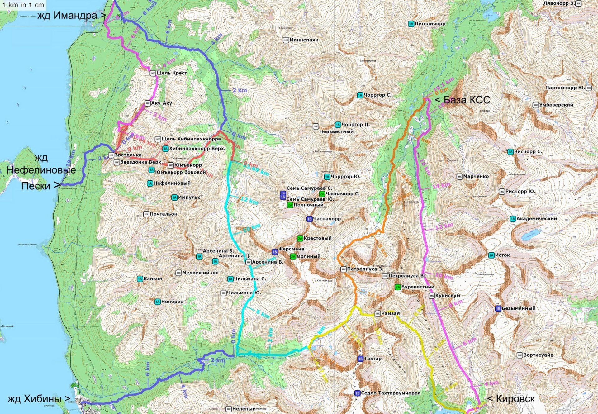
Main route: 5 days, 71 km, emergency exits.
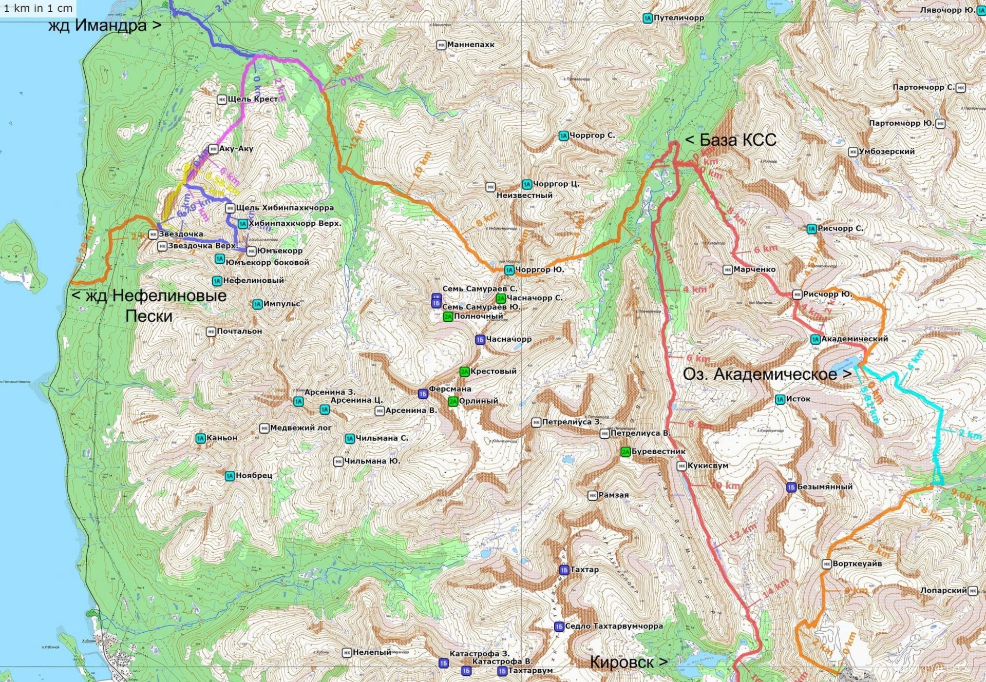
Main route: 7 days, 55 km, emergency exits.
Weather. The best season for trekking
The trekking season in the Khibiny lasts from mid-July to late September. Emergency rescue services have mentioned years with so much snow that people still rode snowmobiles from the base camp to Kirovsk in June. While this is an exception, it's good to keep in mind. Naturally, in June and July the snow melts, water levels rise, and getting around the area becomes more challenging. Rivers run high, and trails can be partially submerged. In late September, weather conditions can deteriorate sharply, with night temperatures dropping to around 0°C, snow on mountain passes, and strong winds. Yet, warm and sunny days do occur—you can never predict it for sure, so you simply need the right clothing and gear.
The most comfortable window is from August 1 to September 10: lush greenery, the warmest weather of the year, singing birds, and breathtaking scenery.
Around September 10, autumn sets in: the tundra foliage transforms into vivid reds and golds. Many hikers visit specifically in September, as autumn here is uniquely scenic and offers great chances to see the Northern Lights.
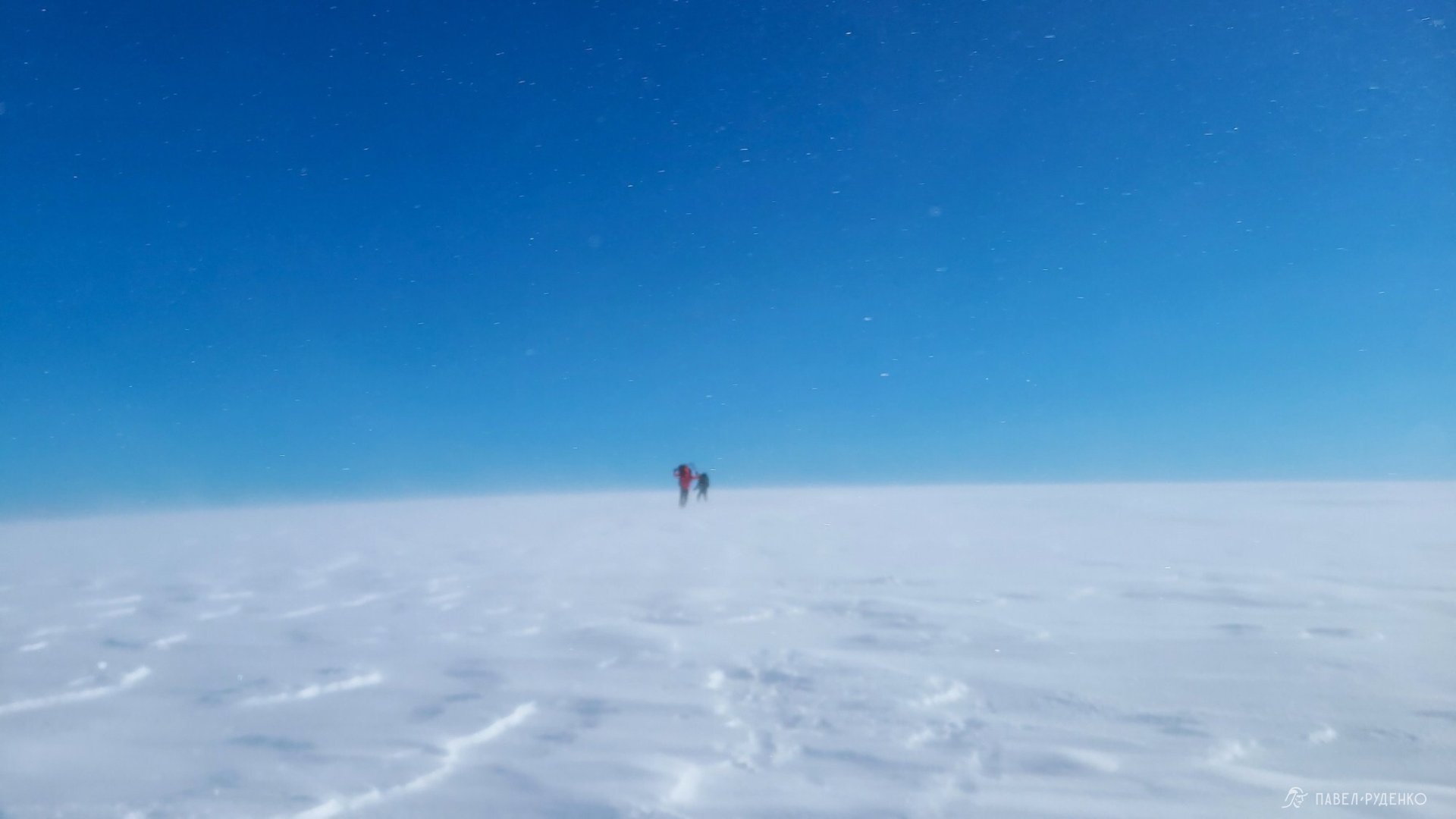
The Khibiny Mountains lie north of the Arctic Circle, and the Kola Peninsula is exposed to winds from every direction. Be prepared for strong gusts on peaks and passes, as well as precipitation and low clouds that can reduce visibility to near zero.
A GPS navigator or a map and compass—along with the skills to use them proficiently—are mandatory. In severe weather and poor visibility, avoid crossing high plateaus and stick to easier mountain passes instead.
Warm and windproof clothing is essential even in summer, as temperatures can occasionally drop to 0°C.
Transport: How to get to the Khibiny
The route can be started from the town of Kirovsk (near the Polar-Alpine Botanical Garden), the Imandra railway station, Nefelinovye Peski railway station, or the settlement of Revda. The route can be point-to-point, out-and-back, or a loop.
You can reach Kirovsk in three ways:
- By plane to Kirovsk Airport. Or fly to Murmansk Airport with a transfer to Kirovsk or a cheaper commuter train to Apatity-1.
- By train, for example, from Moscow to the Apatity-1 railway station. The most comfortable train is the “Arktika”. A taxi from the station is around 600 RUB, or you can take direct bus No. 131 or other routes with a transfer in the center of Apatity.
- By car
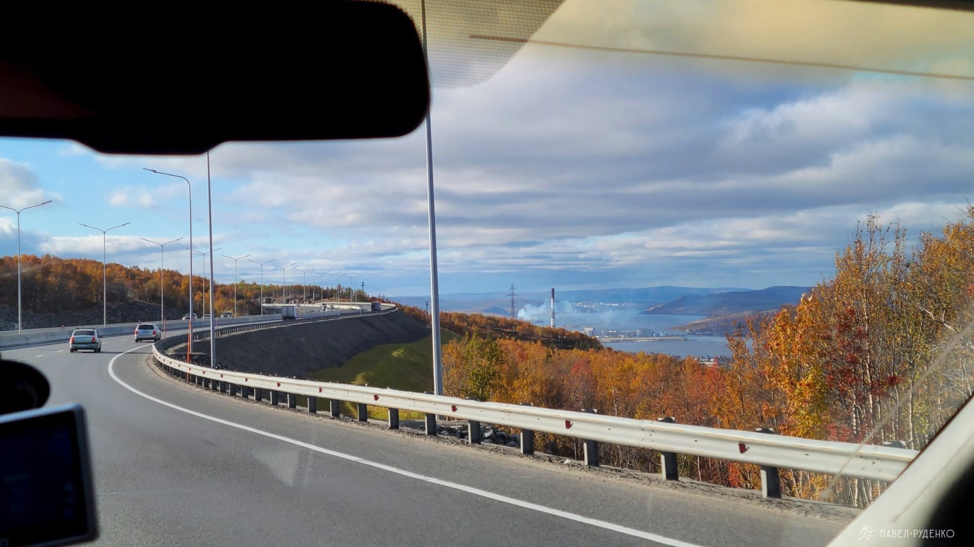
- By hitchhiking. The journey from Murmansk to Kirovsk took 5 hours and 4 rides. Drivers are helpful, but highway traffic is quite light.
Mobile coverage on the route
In the Khibiny Mountains, as across the Kola Peninsula, Megafon and MTS offer the best coverage; other carriers have very poor reception. If you use a different carrier, you can buy a local SIM card in the city and switch it for the duration of the trek. Mobile reception will pick up a bit earlier as we exit the mountains.
Check the coverage area via the link below:

Gas and Campfires
Gas canisters can be purchased in Murmansk just 100 meters from the railway station at tackle shops on Kominterna St., 18, 20, 22. Or at other outdoor stores in Murmansk. In Apatity, you can find gas at Sportmaster or local fishing shops. You can also buy it in advance if you are traveling by train, as transport is permitted. I have done this countless times—it gives peace of mind knowing you are fully packed, and the day-and-a-half journey gives you plenty of time to sleep and recharge after the workweek. The atmosphere is fantastic, especially aboard the comfortable "Arktika" train.
Camp stove fuel (white gas/petrol) is available at most hardware and home improvement stores.
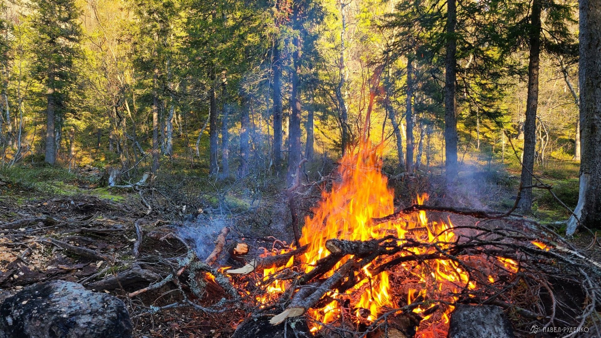
Campfires are permitted in the Khibiny, but keep in mind that not all campsites are in the forested zone, and firewood is often completely stripped at the most popular spots.
There is absolutely no firewood near the KSS rescue station in the central Khibiny, where every passing group stops. Firewood is also scarce at the confluence of the Goltsovka and Chasnayok rivers, though it becomes more available as you head north toward the Mannepakhk River. You will also find none in the Aku-Aku gorge, especially near Lake Izumrudnoye. Firewood can only be found in the southern section, around the "Zvezdochka" campsites.
On my treks, I rely exclusively on gas or liquid fuel stoves—it is faster, more convenient, and saves both time and energy. Naturally, the choice of fuel depends on the group, trekking style, and personal preferences.
Water
Water is abundant in the Khibiny: streams, rivers, and lakes are everywhere, and the water is pure. There is more water in spring and less in autumn, but nothing unusual. I usually carry a water filter myself, purely for convenience and peace of mind. My choice is the Katadyn BeFree model.
Risks and Hazards
Loose rocks and scree. All mountain passes are covered with boulders and rocks of varying sizes on steep slopes. When climbing a pass, there is a risk of stepping on an unstable rock and twisting or breaking an ankle. With the extra weight of a heavy pack and rough terrain, injuries happen. Rescue teams (EMERCOM) reported several recent incidents where hikers broke their legs on descent and had to be evacuated by stretcher. This is not unique to the Khibiny—it applies to all mountains. When hiking in a group, be doubly careful not to send rocks tumbling down onto those below. Stay close together, and if a rock breaks loose, immediately shout 'ROCK!' The danger of triggering a rockfall only exists on a few steeper passes, which are rare.
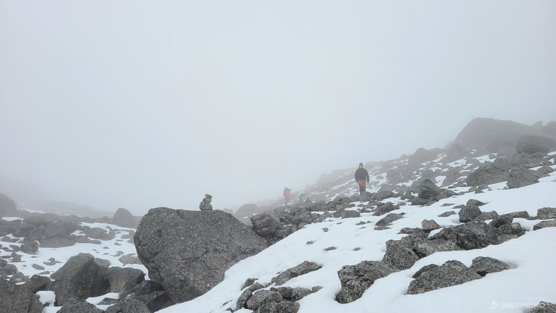
Poor visibility and fog. The weather in the Khibiny changes rapidly, with high precipitation and frequent low cloud cover. Because of this, visibility on mountain passes can drop to just 5 meters, plunging you into a total whiteout. Navigating is only possible with a GPS device or expert map-and-compass skills. Finding a pass in these conditions without tools is impossible, so prepare your navigation ahead of time. I have been using a Garmin eTrex 20x for 8 years alongside a smartphone with pre-recorded tracks. After my last trek in September, I began considering an upgrade: the 20x is somewhat slow, and in severe mountain weather, every second counts.
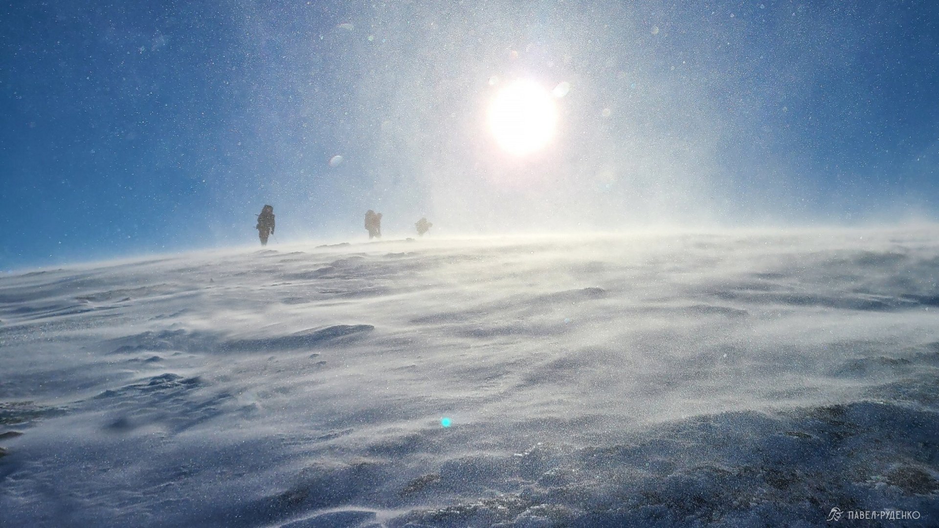
Wind. The clouds hang low here, making it easy to see how fast they race across the sky, especially when trekking along a gorge and looking up. Wind gusts on the peaks can reach up to 50 m/s, though 15–20 m/s is more typical.
Snowfields. On ascents and descents, you will encounter lingering snow patches. They can make travel much easier, as walking on packed snow is faster than scrambling over jagged boulder fields (kurumnik). The danger lies in slipping and sliding down the snowfield, where cliffs or sharp rocks might await at the bottom. There is also a risk of breaking through the snow crust and injuring a leg, as hidden meltwater channels and voids form beneath the snow.
Unpredictable weather. In July, August, and September, temperatures can suddenly drop below freezing with snow squalls, even if the preceding days were warm (+15 to +20 °C) and sunny. Several fatal incidents have happened here due to rapid weather shifts. When severe cold hits, it is easy to make critical mistakes that lead to dire consequences. Always pack adequate warm layers, a warm sleeping bag, and reliable gear. Above all, rely on sound experience and common sense.
You can read incident reports and safety updates on the official website:
Registration with EMERCOM
A convenient registration form: submit your personal details, itinerary, and emergency contacts.
You must notify the rescue service (EMERCOM) before starting your trek and upon completion. They will call you daily to check in. Cell reception was intermittent on my route, so I would receive missed call notices in the morning and afternoon; whenever signal returned, I called back to confirm that everything was fine.
Murmansk EMERCOM contact: 8(8152) 39-99-99
Link to register your trek with EMERCOM:
Akademichesky Pass 1A, descent to South Rischorr, 1,040 m, Khibiny, September 23.
Tent camping essentials and nuances
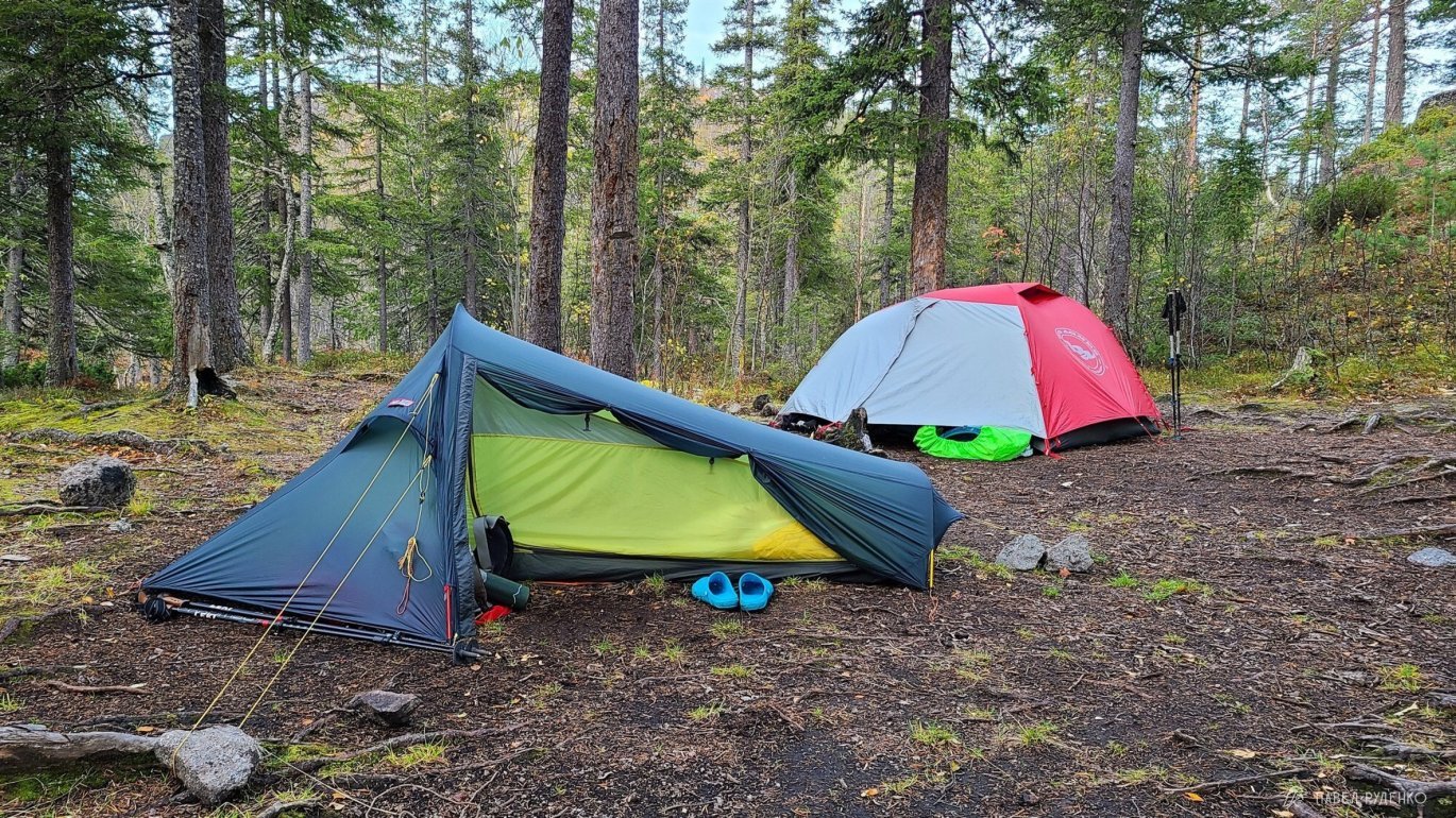
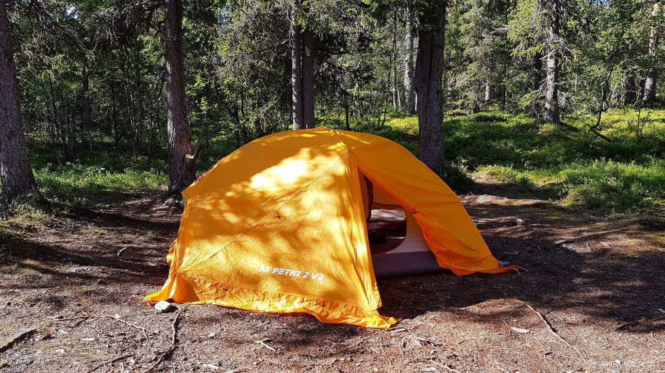
There are no issues finding tent pitches in the Khibiny Mountains. In most spots where you might want to stop, you can find a flat area cushioned with soft moss or level rocks.
For the most part, there is no need to prepare a new pitch, as the main campsites are already well-trodden. On a solo trek, I camped twice outside established sites: once after severe weather when I was simply exhausted and freezing, and the second time for the stunning view from a fell. Water is far away there and nobody pitches tents, but that was not a problem for me—I carried 3 liters of water, which was plenty for dinner and breakfast.
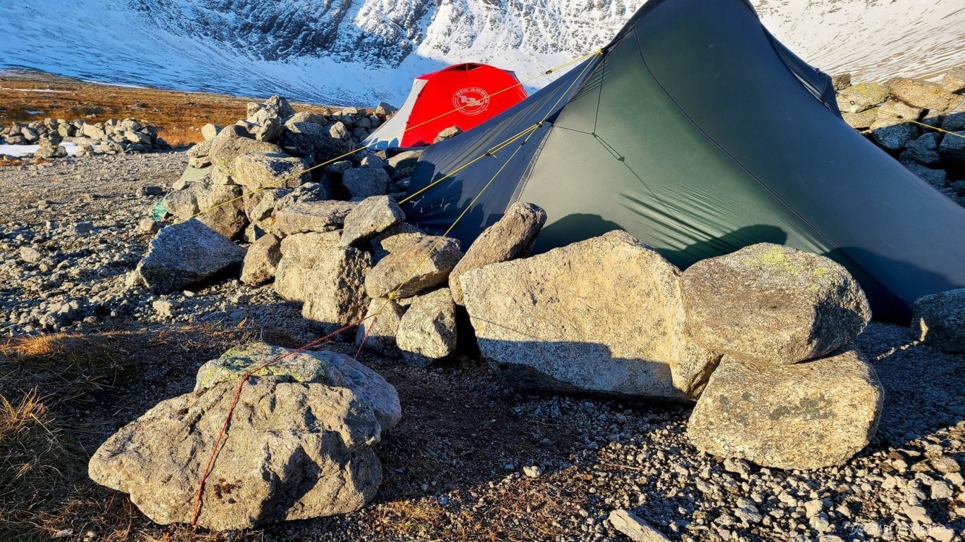
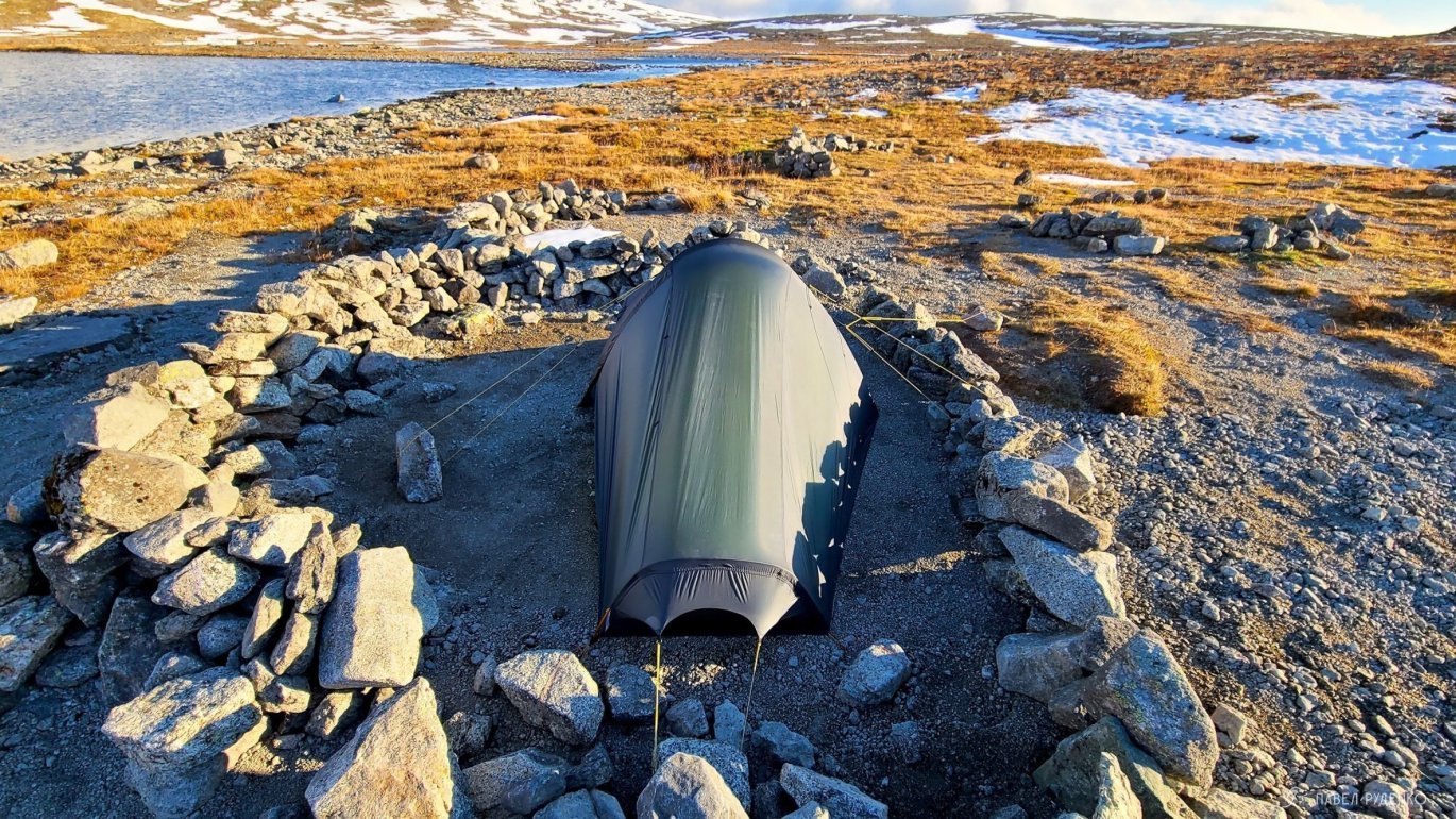
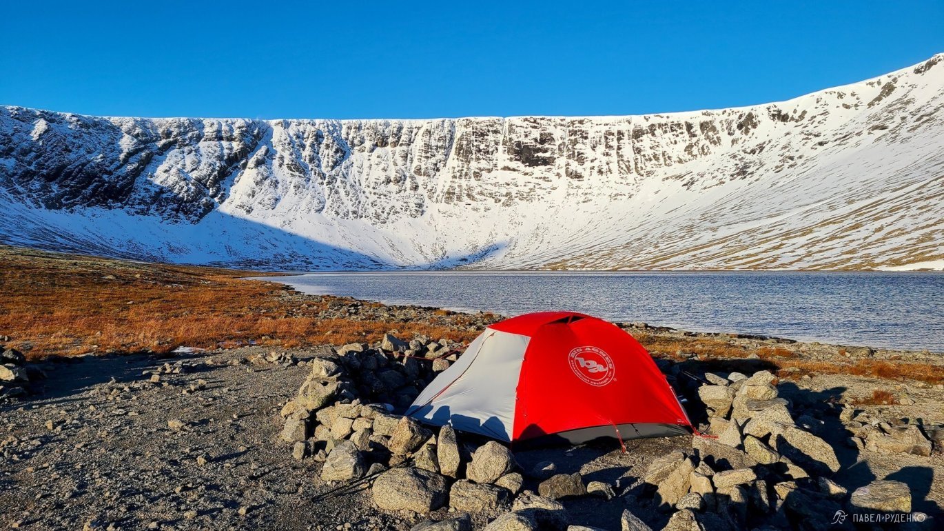
Exposed campsites that get windblown are sometimes sheltered with rock walls. Keep in mind that the lower you descend from a pass, the warmer it gets and the less wind there is, as the forest provides natural protection.






Read other articles about the Khibiny:


Comments (0)