
Routes in Svaneti
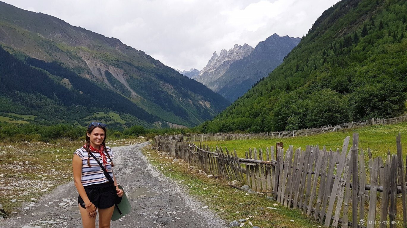
To Ushba Glacier
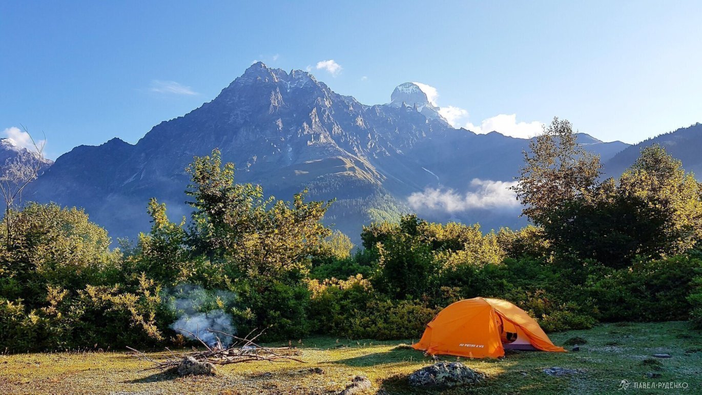
- One-day trek from the village of Mazeri to Ushba Glacier, with an option to spend the night in a tent.
- Elevation gain: 950m.
- Highest point: 2450m.
- Distance: from Mazeri to Ushba Glacier: 10 km.

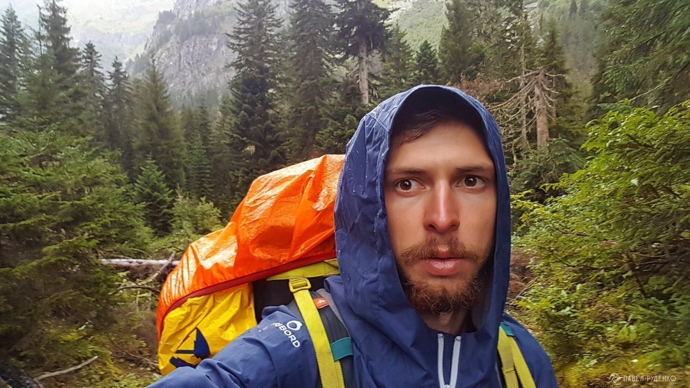
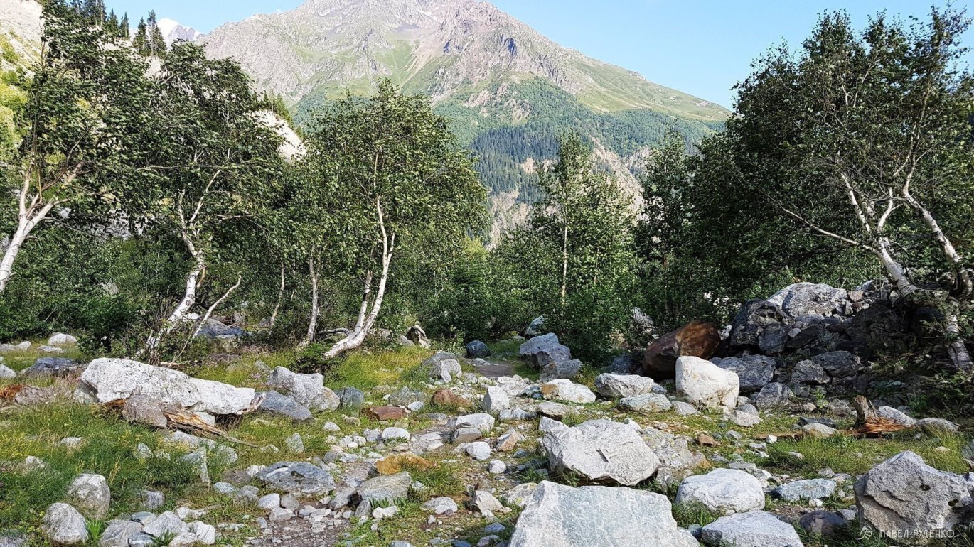
In Mazeri, you must obtain a pass to the border zone, which takes 5 minutes at the border guard's office on the main street. I had a chat with the border guards, they are very friendly and open to conversation, we had a laugh. They even offered to give me a ride closer to the route in a police car. When we arrived, I decided to stay here for the night to start the journey early in the morning.

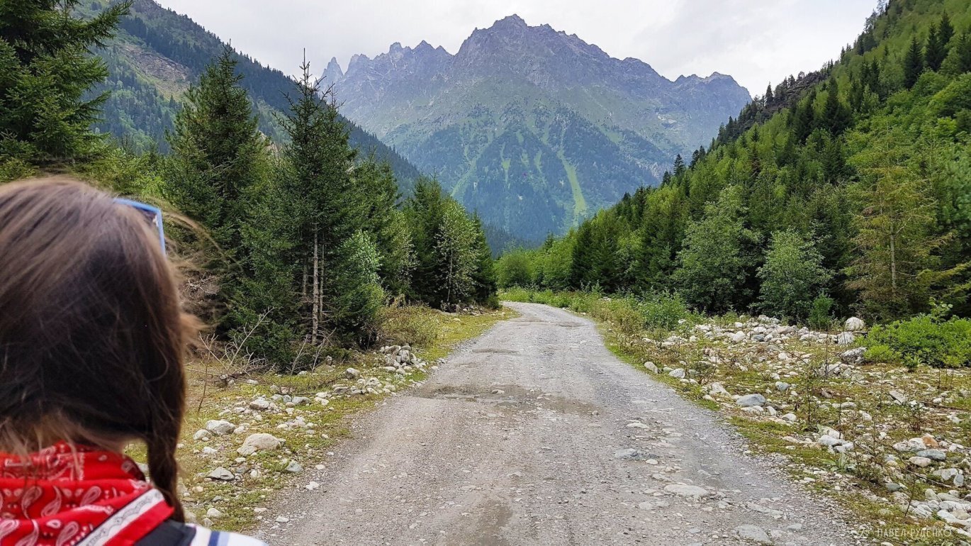
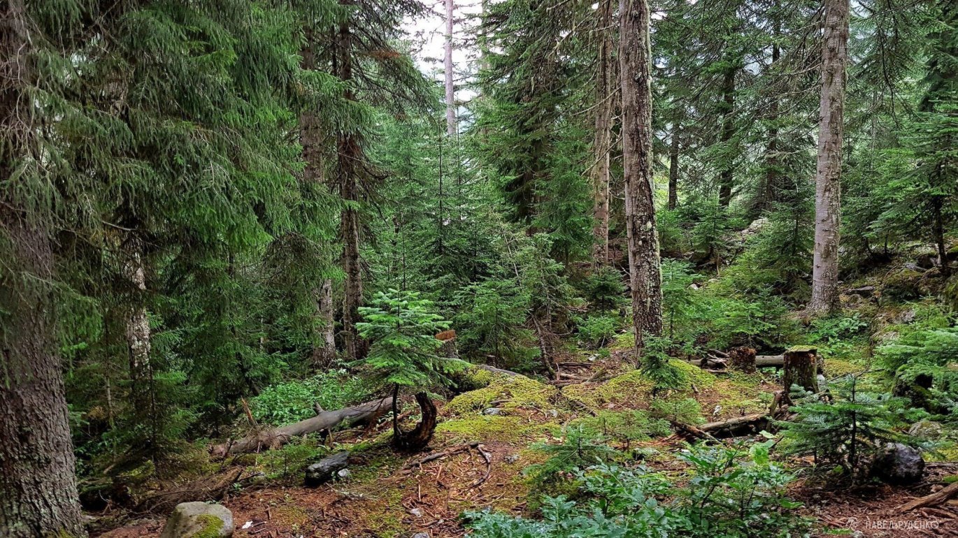
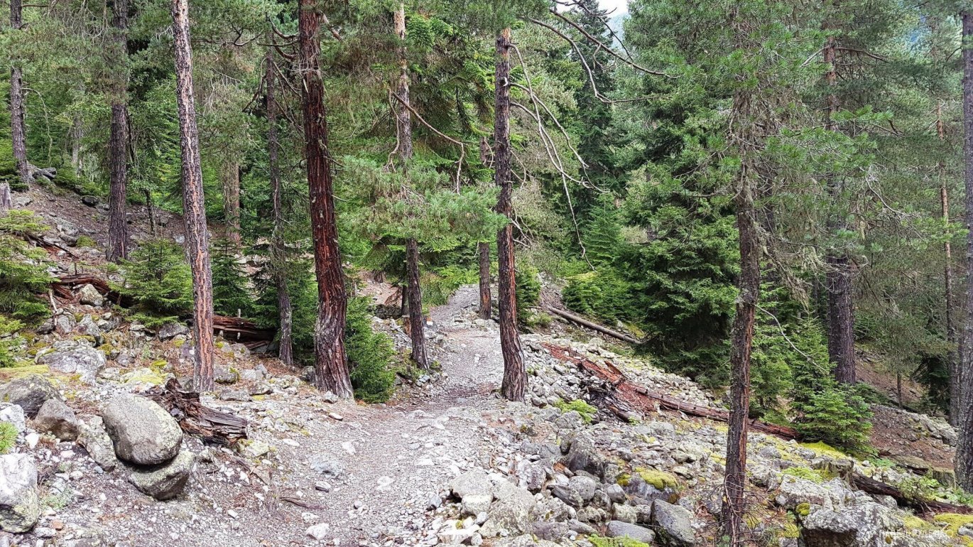
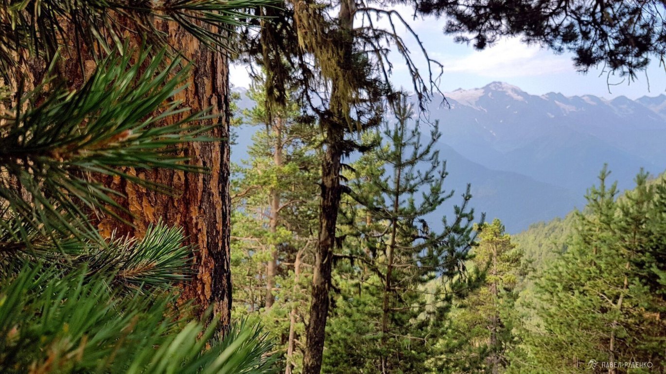
The trail is well-trodden, mostly through the forest. After the bridge, there is a border post where they check the pass. You can also get drinking water there.

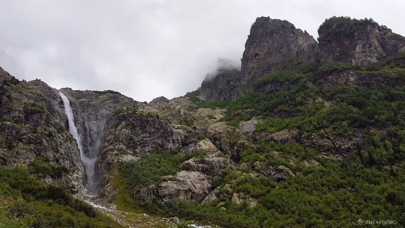
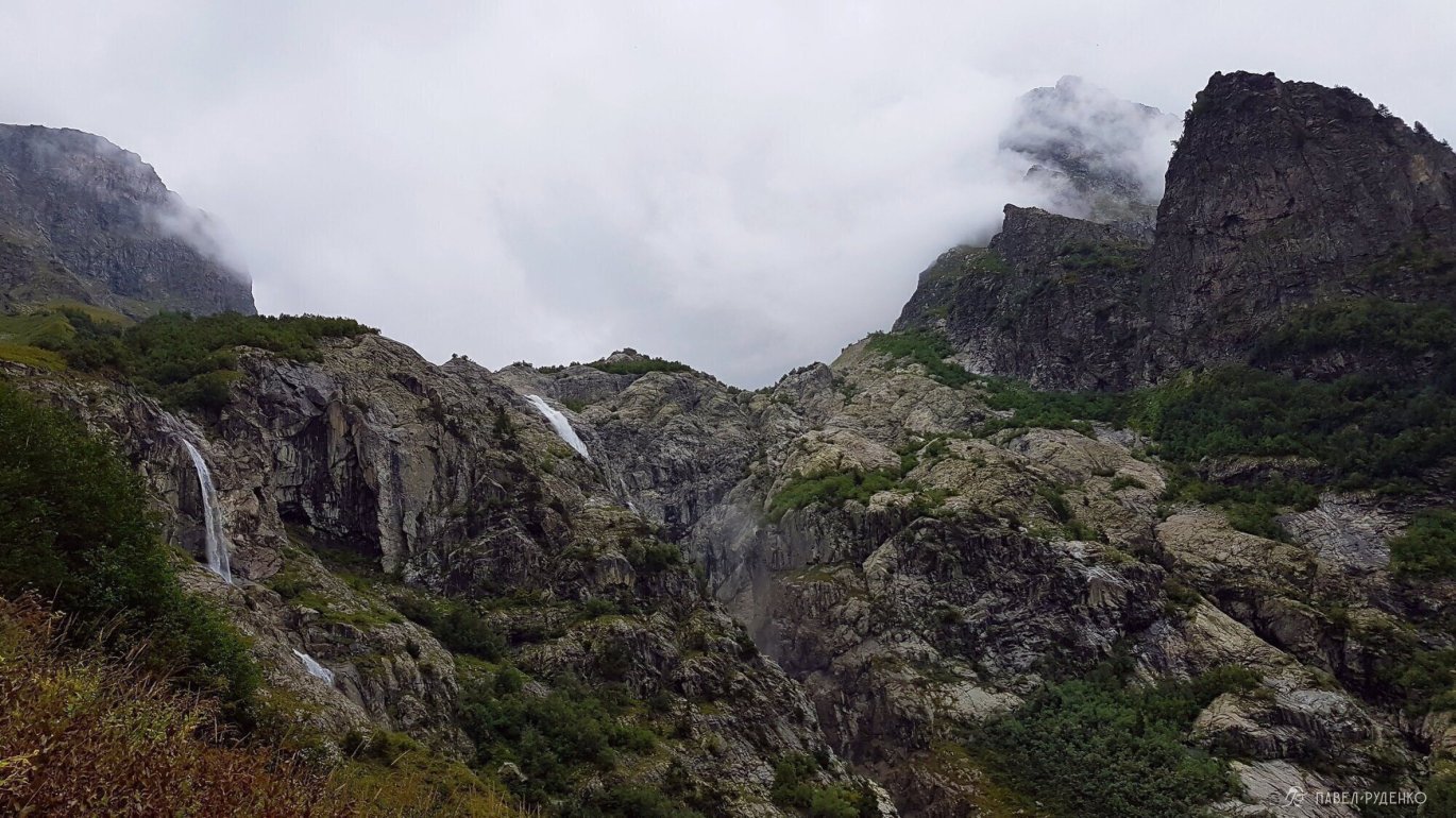
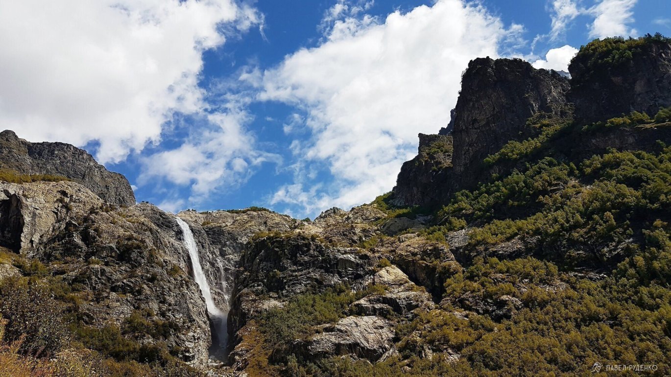
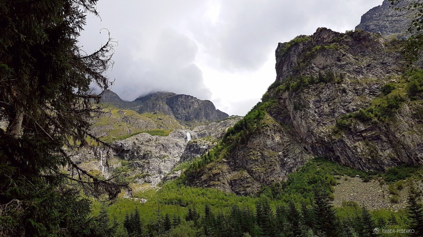
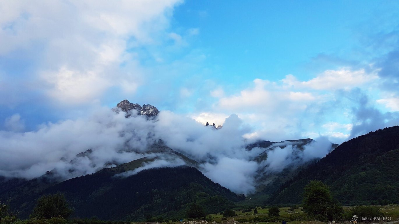
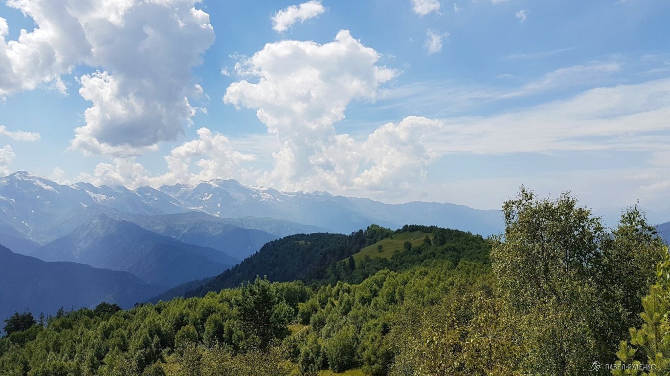
Going higher, you get a stunning view of the waterfalls, an awesome sight. A непривычное curiosity creeps in, what's up there above the waterfall.

Walking along the path, I watch my feet and at some point hear a rustle ahead, I lift my head and see a big stallion with dark gray spots. It stands and silently looks at me without turning its muzzle. I approached closer, slowly extended my hand, took another step, the horse looks without taking its eyes off. I touched its nose and froze. Goodness, in such moments, I want to get on the horse and ride through the thicket.
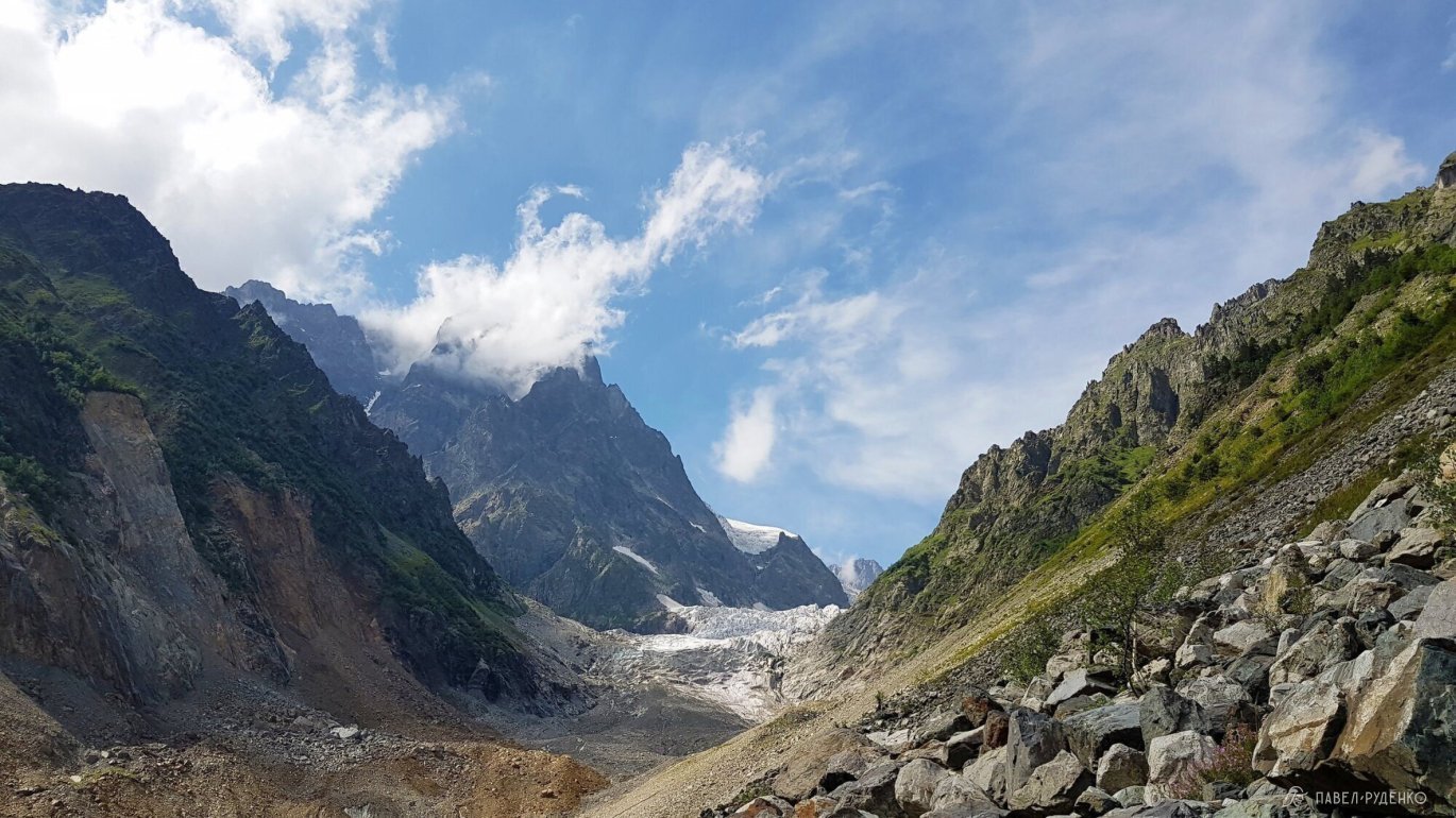
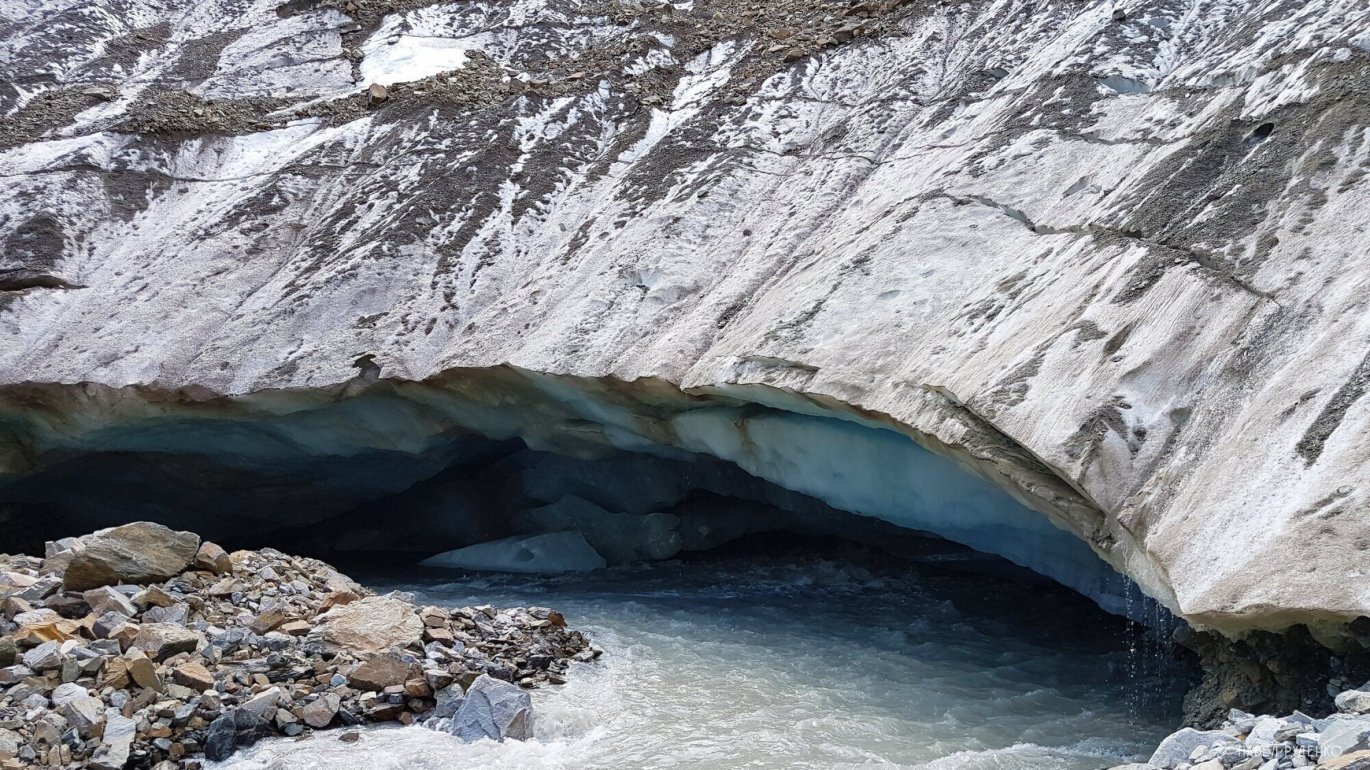
Further, the trail rises steeply, the uppermost stream is scary to cross. The water rushes down, where after 10 meters it turns into a waterfall. The main thing here is to go up higher and be careful on wet rocks.
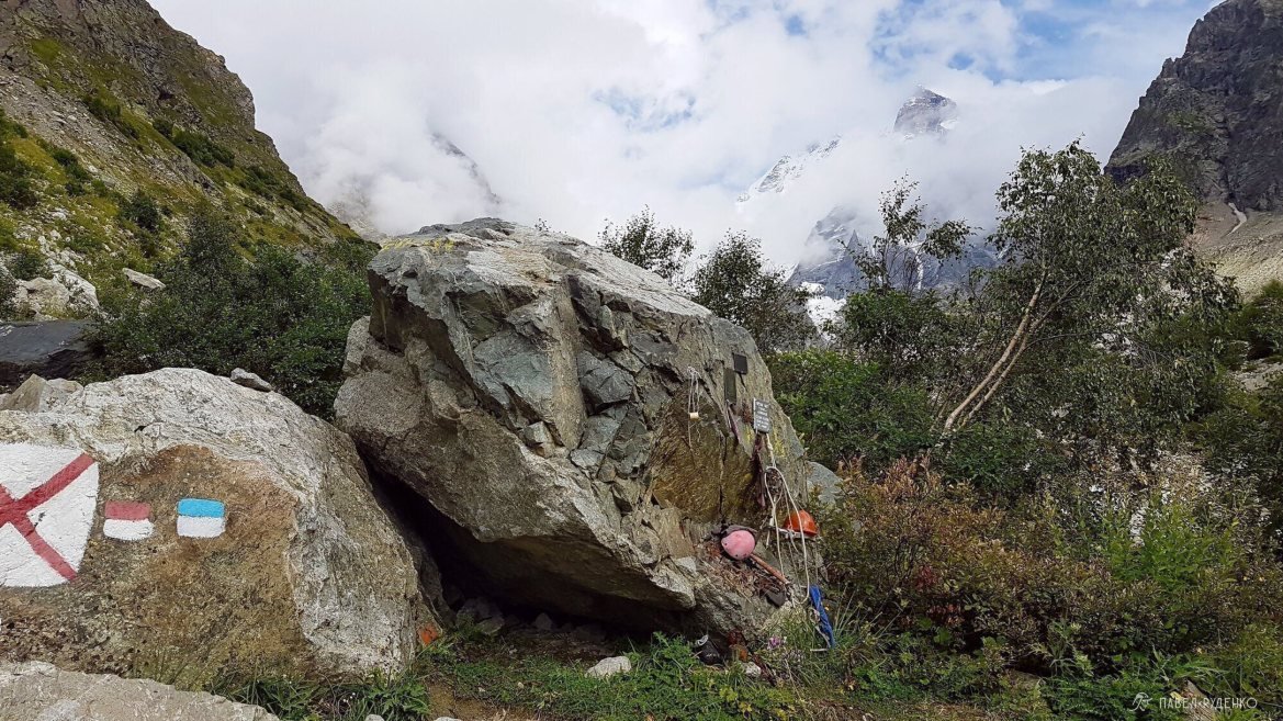
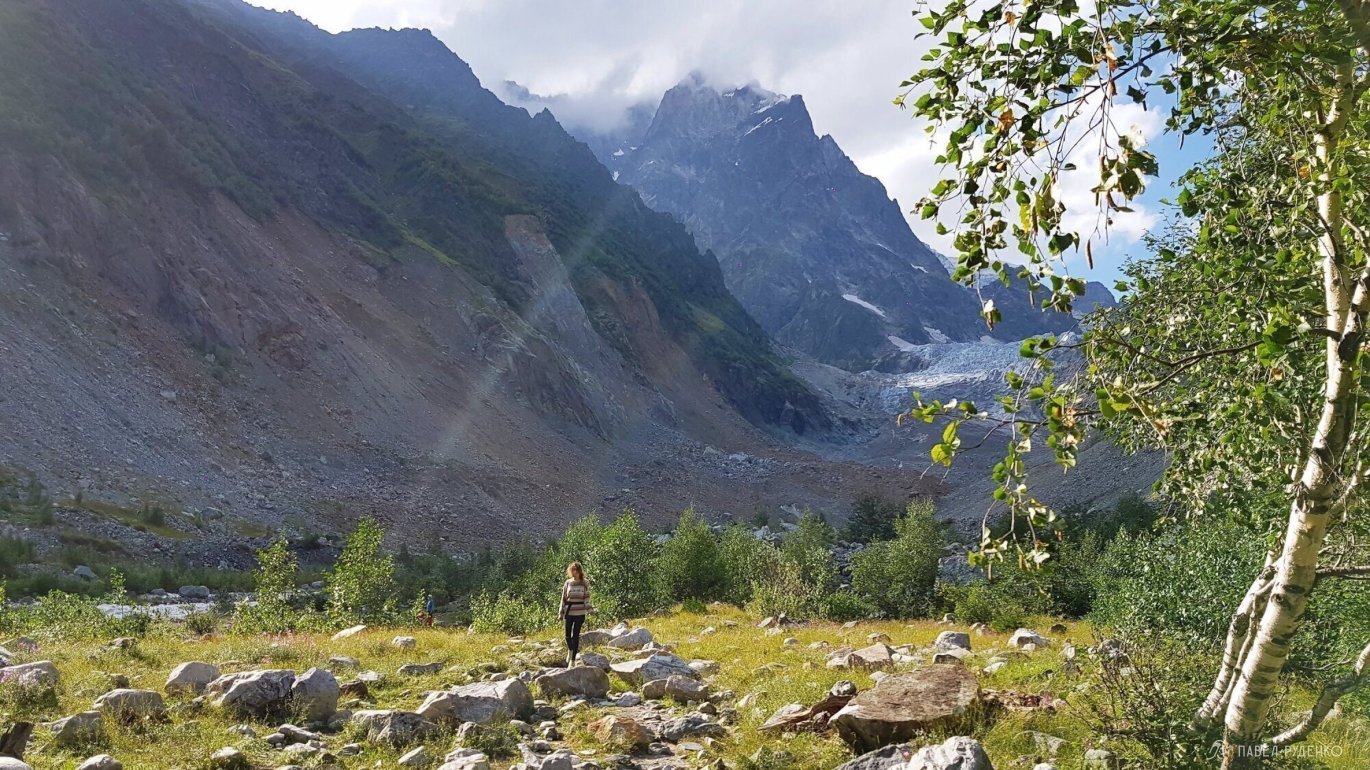
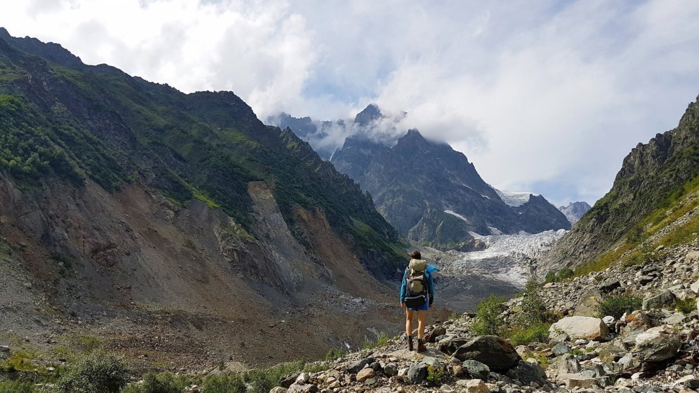
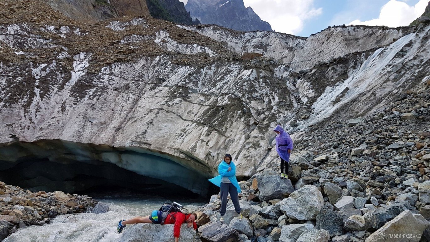
Next, there will be bushes, a narrow trail and an exit to a flat, rocky area in front of the glacier. There are few places for tents here, but they exist. There is also a commemorative stone.
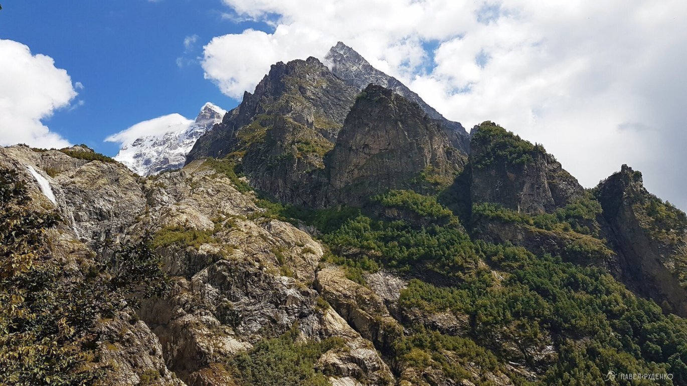
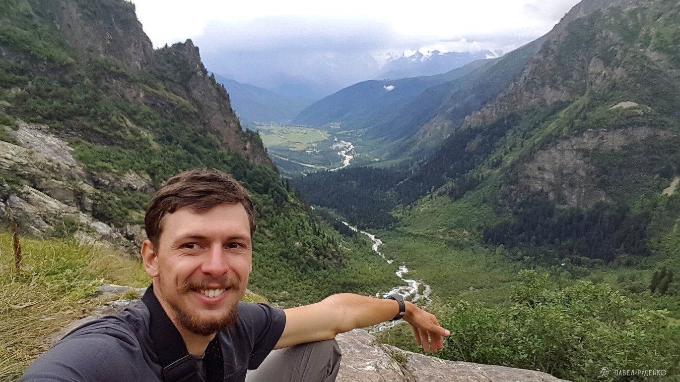
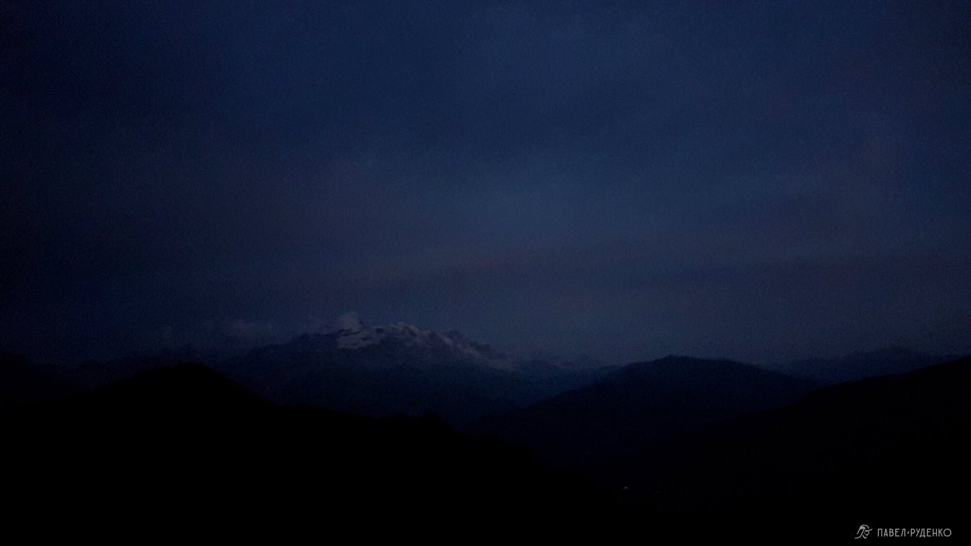
There was no one at the glacier, the mountain made a terrible impression. But to look at the mountain from a safe place is a great pleasure.
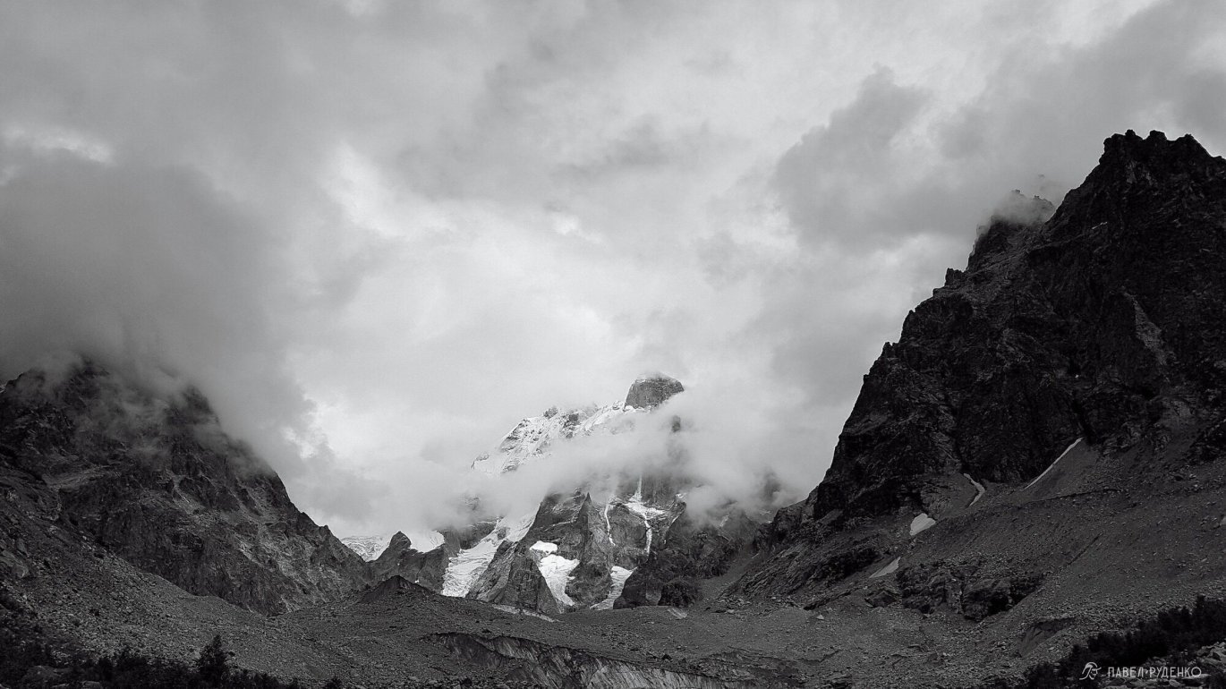
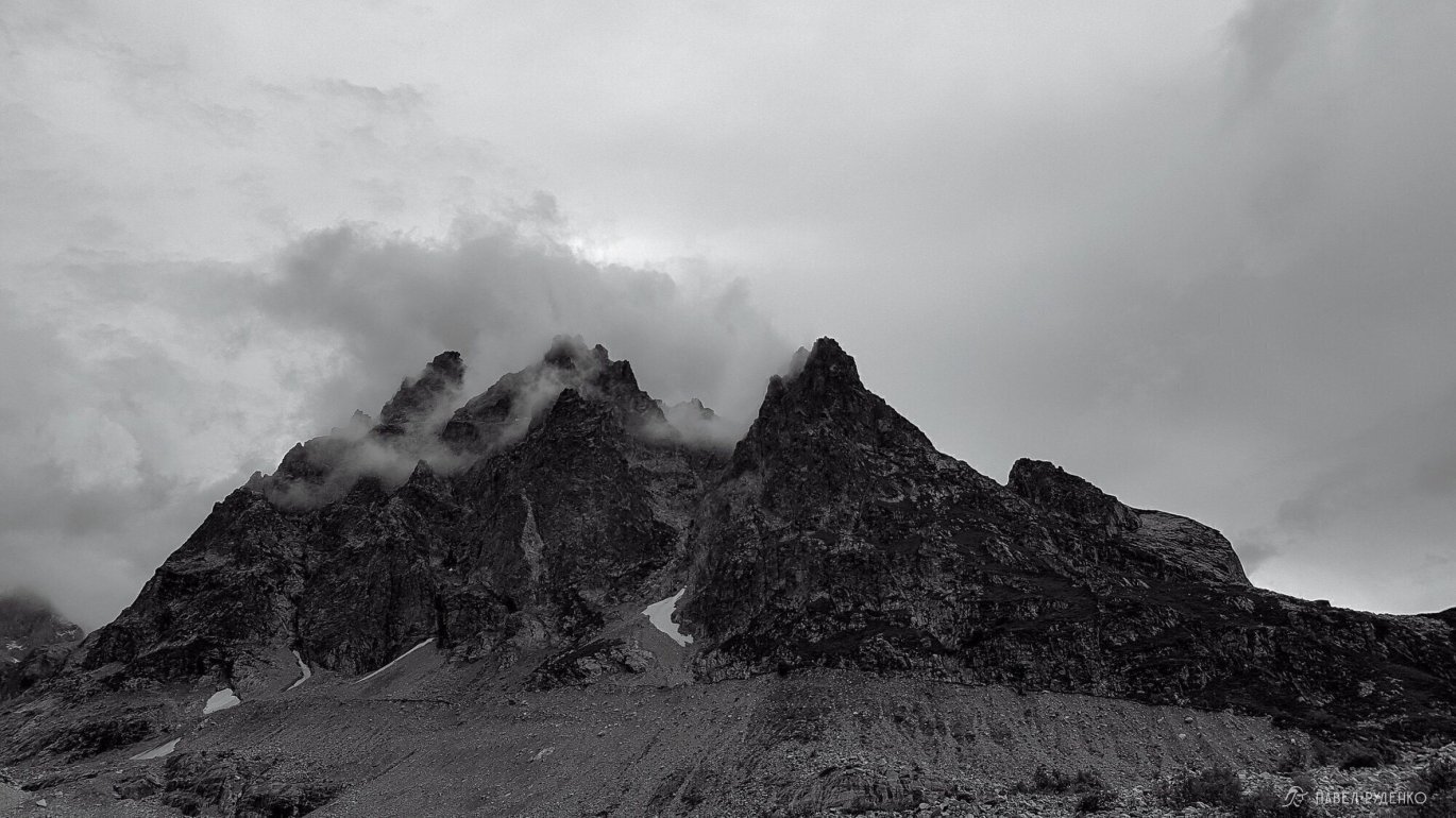
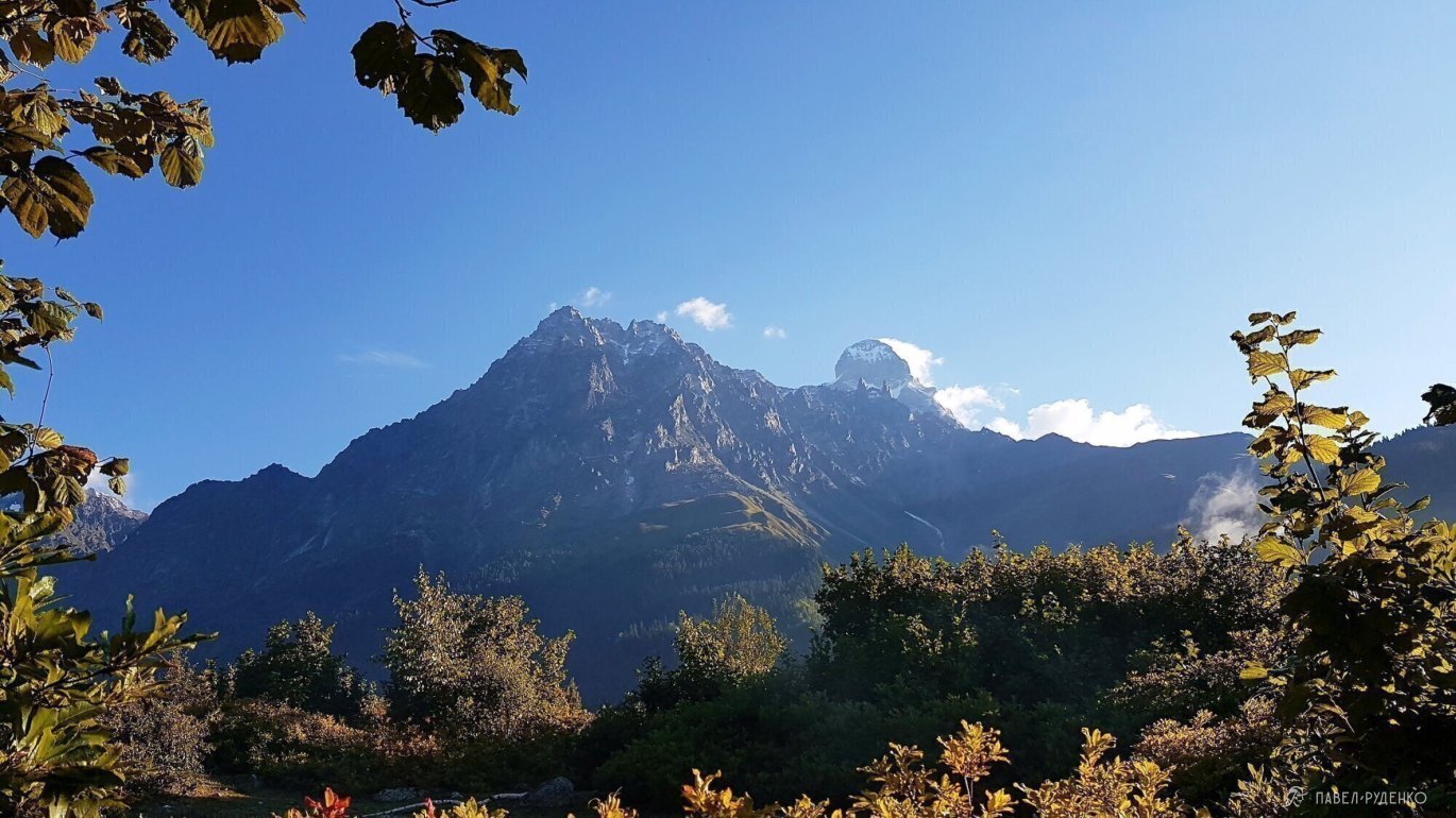
Ushba has a bad reputation, it is included in the top of the most inaccessible mountains and is considered the most difficult four-thousander.
Translated from the Svan language, the name of this Caucasian peak on the border of Russia and Georgia sounds like 'The Mountain that Brings Misfortune'. Ushba (4700 m), which is considered one of the most difficult four-thousanders in the world, does not allow climbers to its peaks even in very good weather, and climbing it requires good rock climbing and ice climbing skills. The 'Queen of the Caucasus' does not forgive mistakes: the cause of the death of most climbers on Ushba was falls as a result of a mistake in the safety system or rope breakage.
On the way, I met a shepherd, he told how last month, on the way to the glacier, a tourist group was walking and a guy from Belarus fell with a tragic outcome. And before that, four climbers from China, who were climbing the wall, at some point could not go up or down. A rescue helicopter was sent to help, they were able to take them off the mountain alive on the third day.
Descending to the village, I met a local uncle in a minivan, a wonderful person. He persuaded me to wait for the Swiss to give me a ride to the right place, in Georgia, people are amazingly hospitable!
For better visualization of the views and terrain, I attach 3D panoramas from Google Earth.
They are not mine, the authorship is indicated in the photographs.


To Chaaldy Glacier
- One-day trek to Chaaldy Glacier. You can spend the night in a tent near the glacier.
- Elevation gain: 510m.
- Highest point: 1900m.
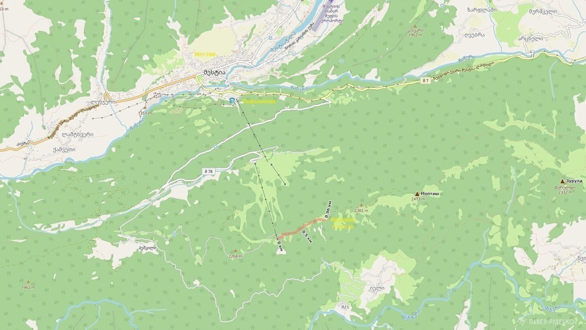
- Distance: from the village of Mestia to Chaaldy Glacier 12 km.
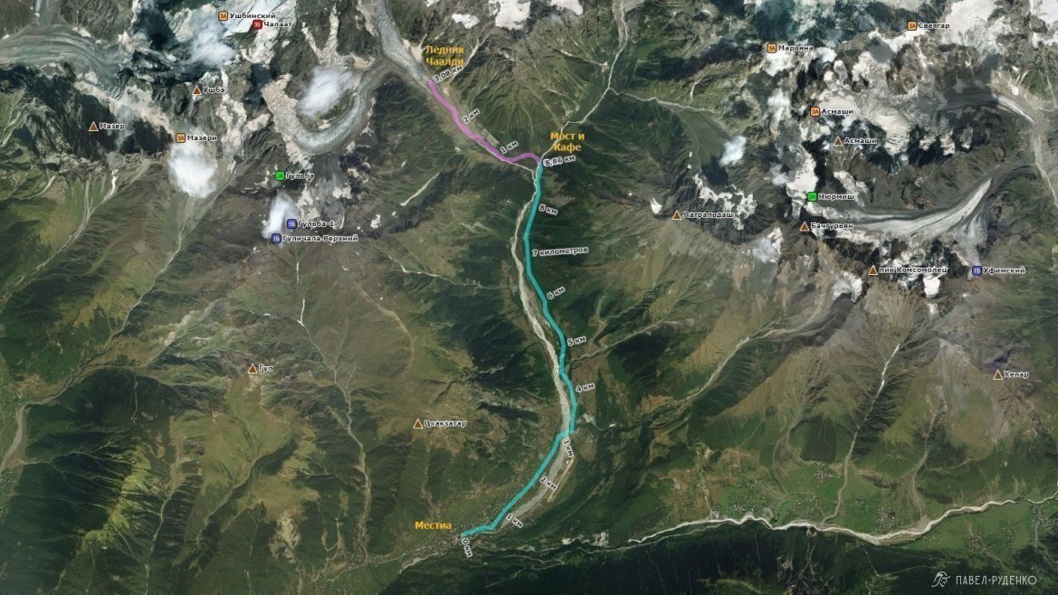
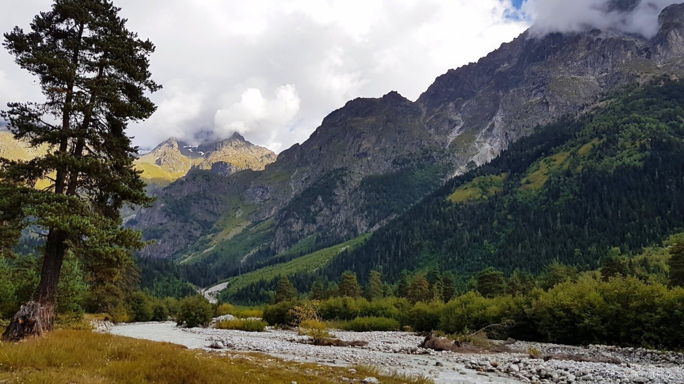
The first 8 km of the route is a country road along the Mestia River, it can be overcome by car or walked. The river can overflow, be prepared for puddles and ankle/knee-deep wading. This route is not very beautiful, so you can walk it quickly, at an average pace in 3 hours.

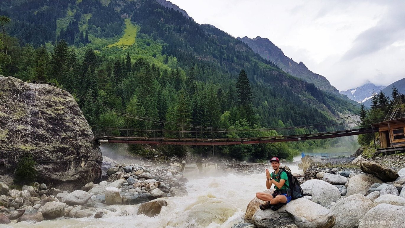
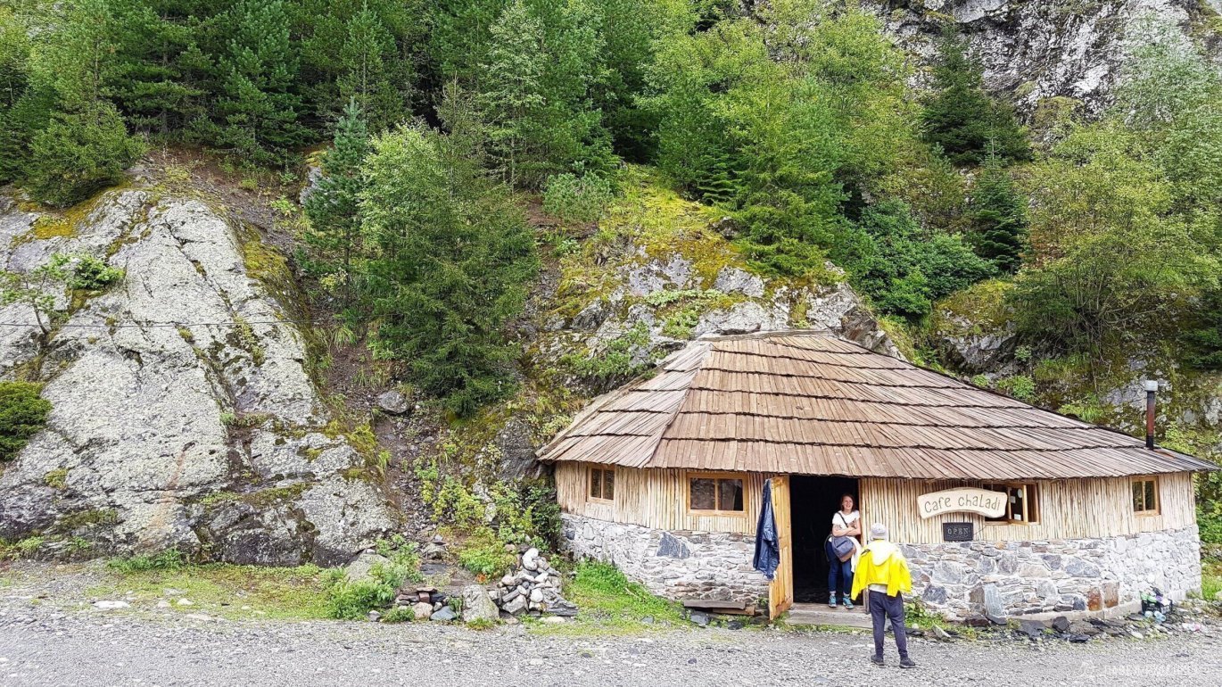
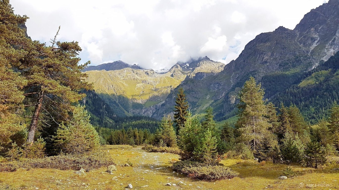
At the suspension bridge, there will be a cafe, then a beautiful trail through the forest begins, lots of moss and generally atmospheric.


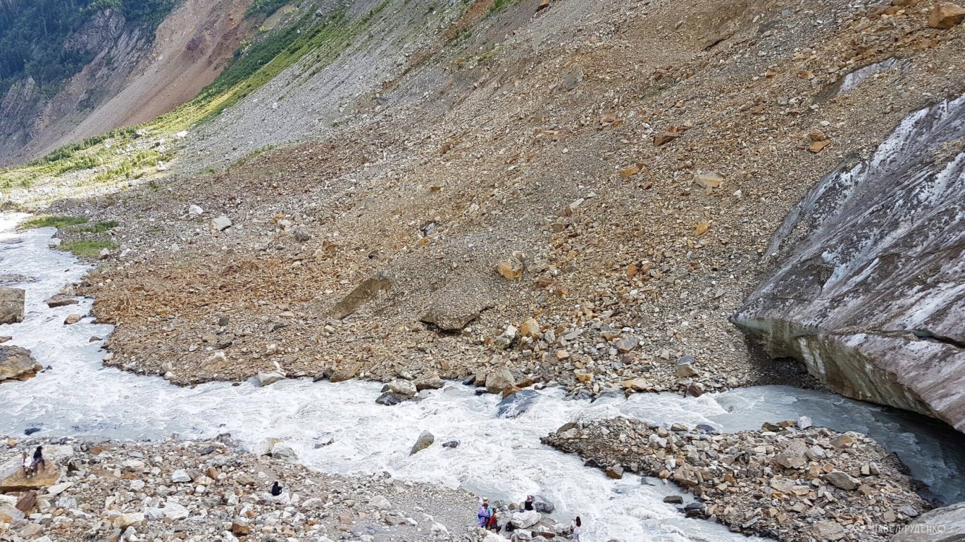
We leave the forest and go to the scree and then to the glacier.

The river from the glacier is very turbulent, not suitable for drinking. You can get water in the adjacent streams, which are everywhere. Be careful near the glacier, small stones are flying from above, they can bounce 10-20 meters.

For better visualization of the views and terrain, I attach 3D panoramas from Google Earth.
They are not mine, the authorship is indicated in the photographs.
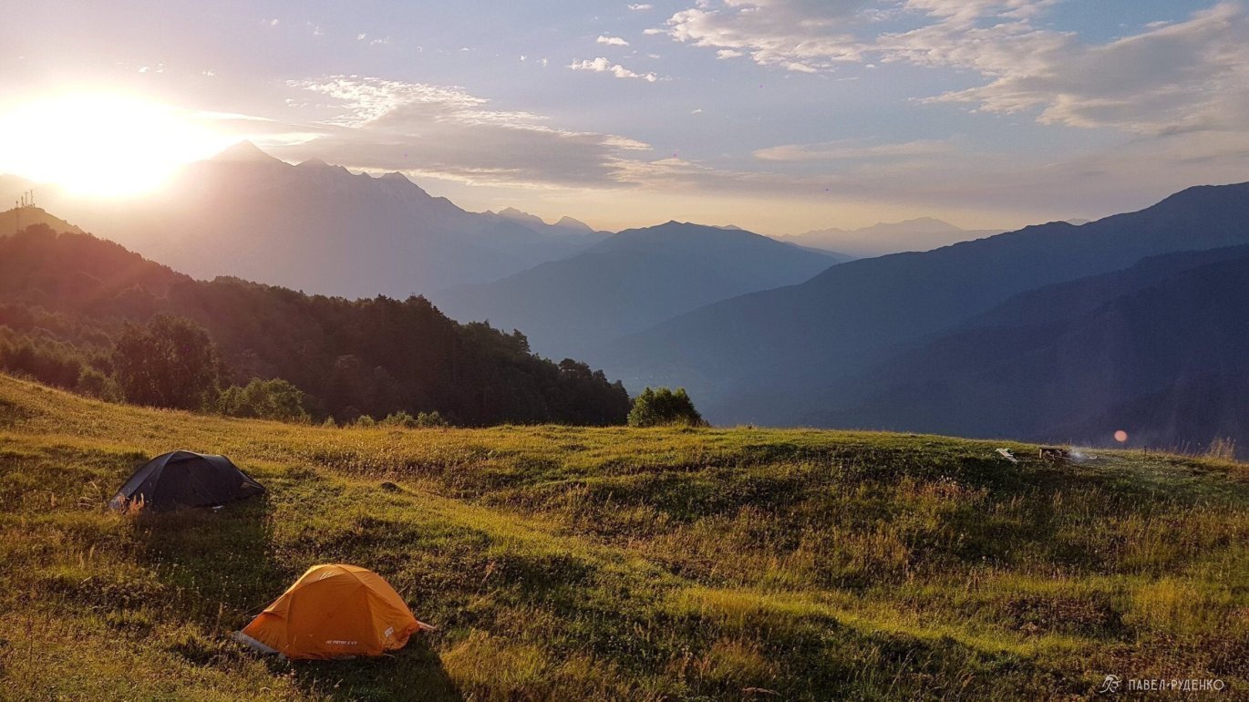
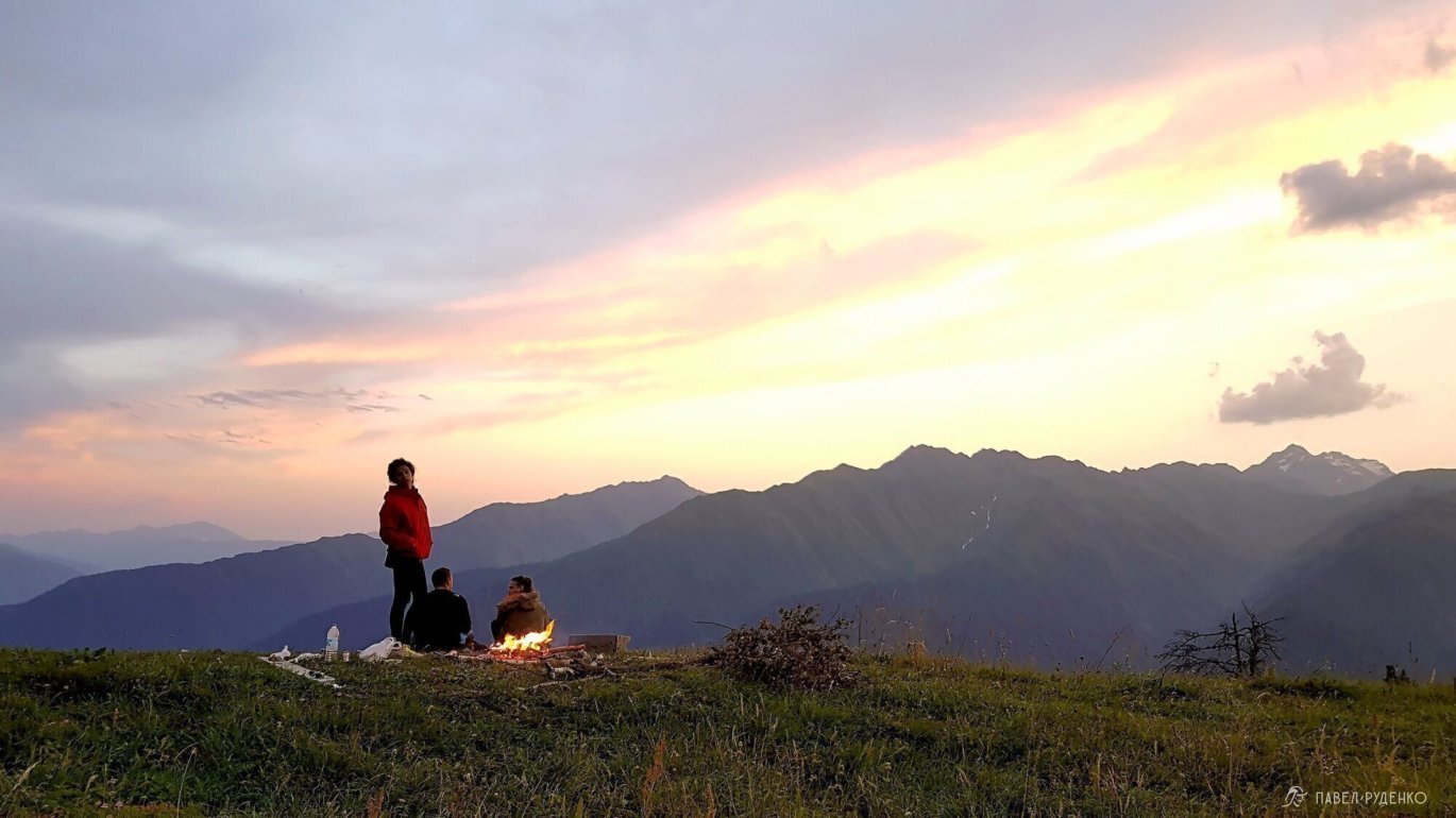
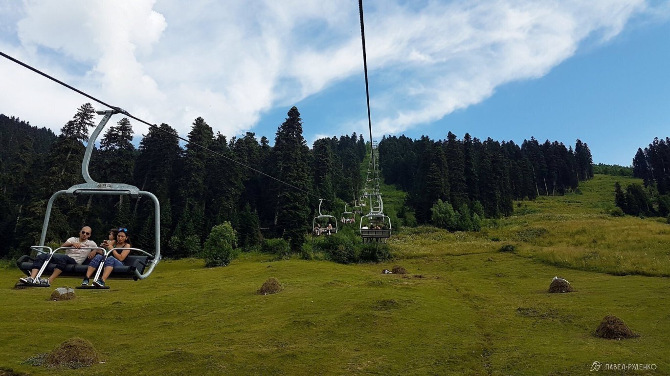
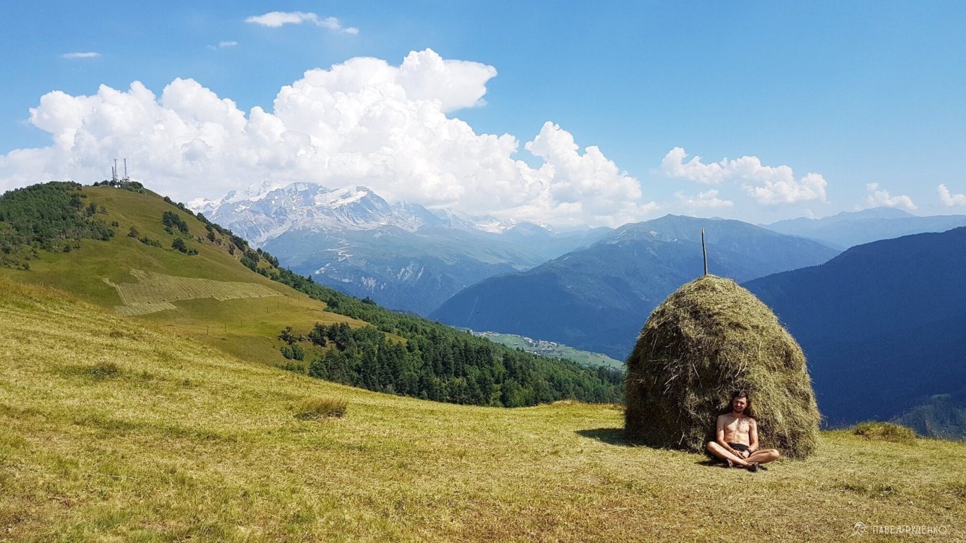
Camping/day with a beautiful panorama.
If you just want to stop with a tent in a beautiful and quiet place, then get there on foot or by taxi to the ski lift. Buy a ticket and go up, then 1 km to the left and choose a suitable clearing. There is no water here, it can be taken at the cafe near the lift.
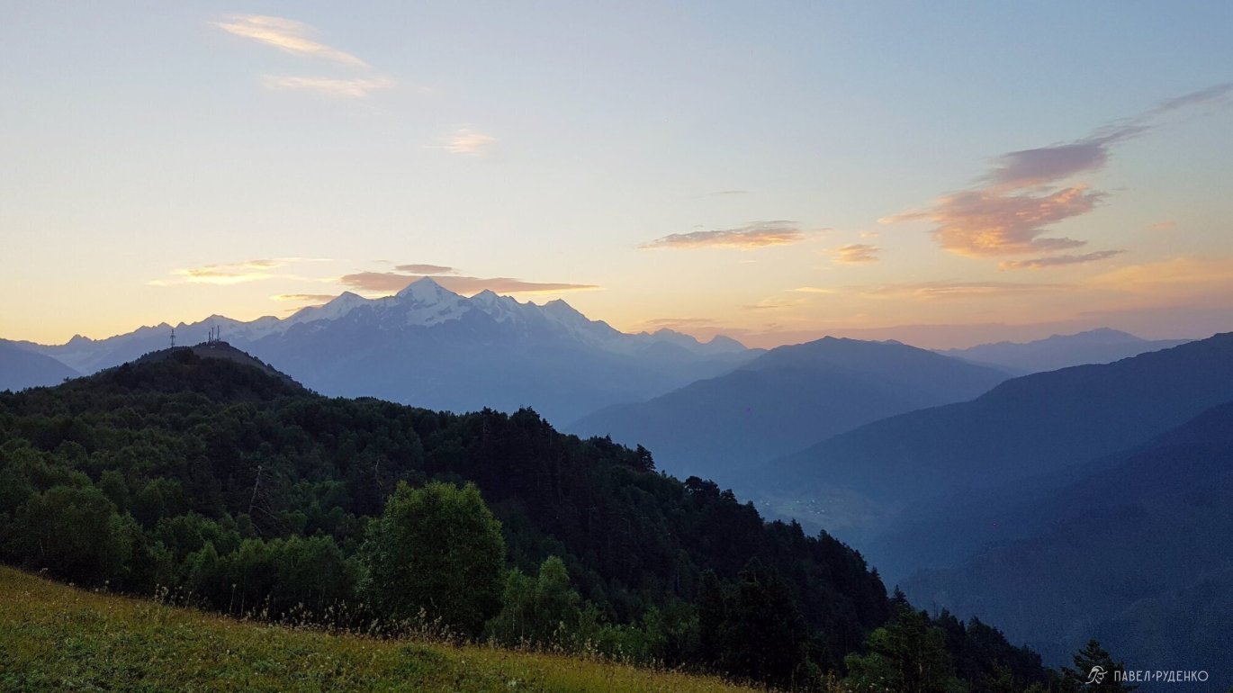
I really liked the place, the panorama is just gorgeous, especially the sunrise.

Route ideas.
I haven't done these routes, added ideas for you!
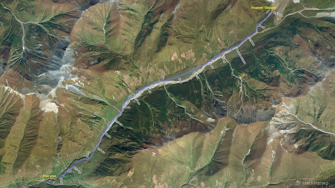
From Ushguli to Shkhara Glacier
- One-day trek from Ushguli 2200m to Shkhara Glacier 2650m, with an option to spend the night in a tent.
- Elevation gain: 450m.
- Highest point: 2650m.
- Distance: from Ushguli to Shkhara Glacier 9.5 km.
Part of the route is a road, there is a river ford, scree at the foot of the glacier. Along the way, there are viewpoints of Ushguli, a large glacier.
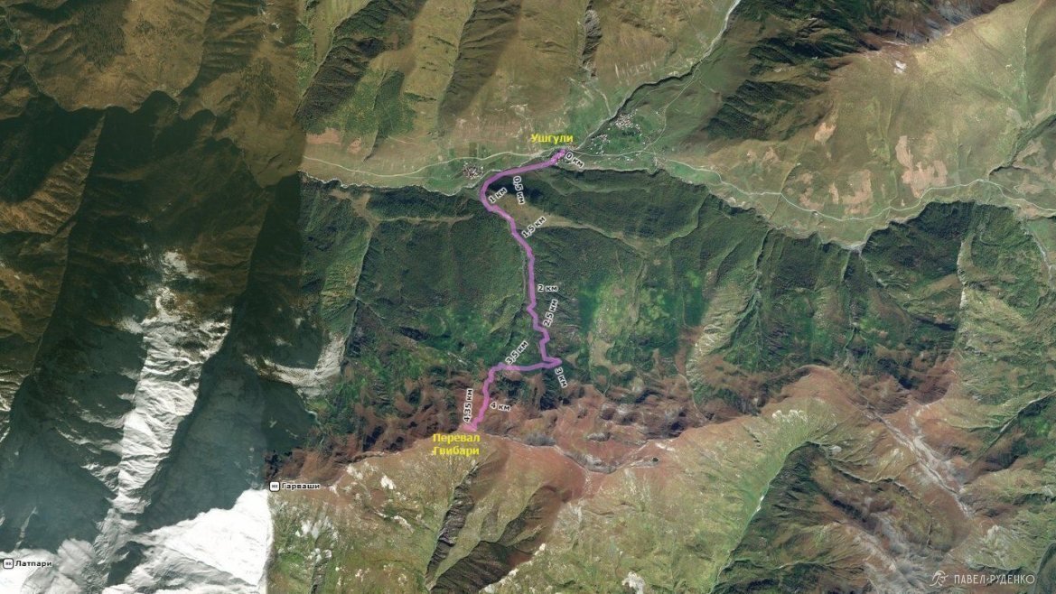
From Ushguli to Gvivari Pass
- One-day trek from Ushguli to Gvivari Pass, with an option to spend the night in a tent.
- Elevation gain: 875m.
- Highest point: 2945m.
- Distance: from Ushguli to Gvivari Pass 4.6 km.
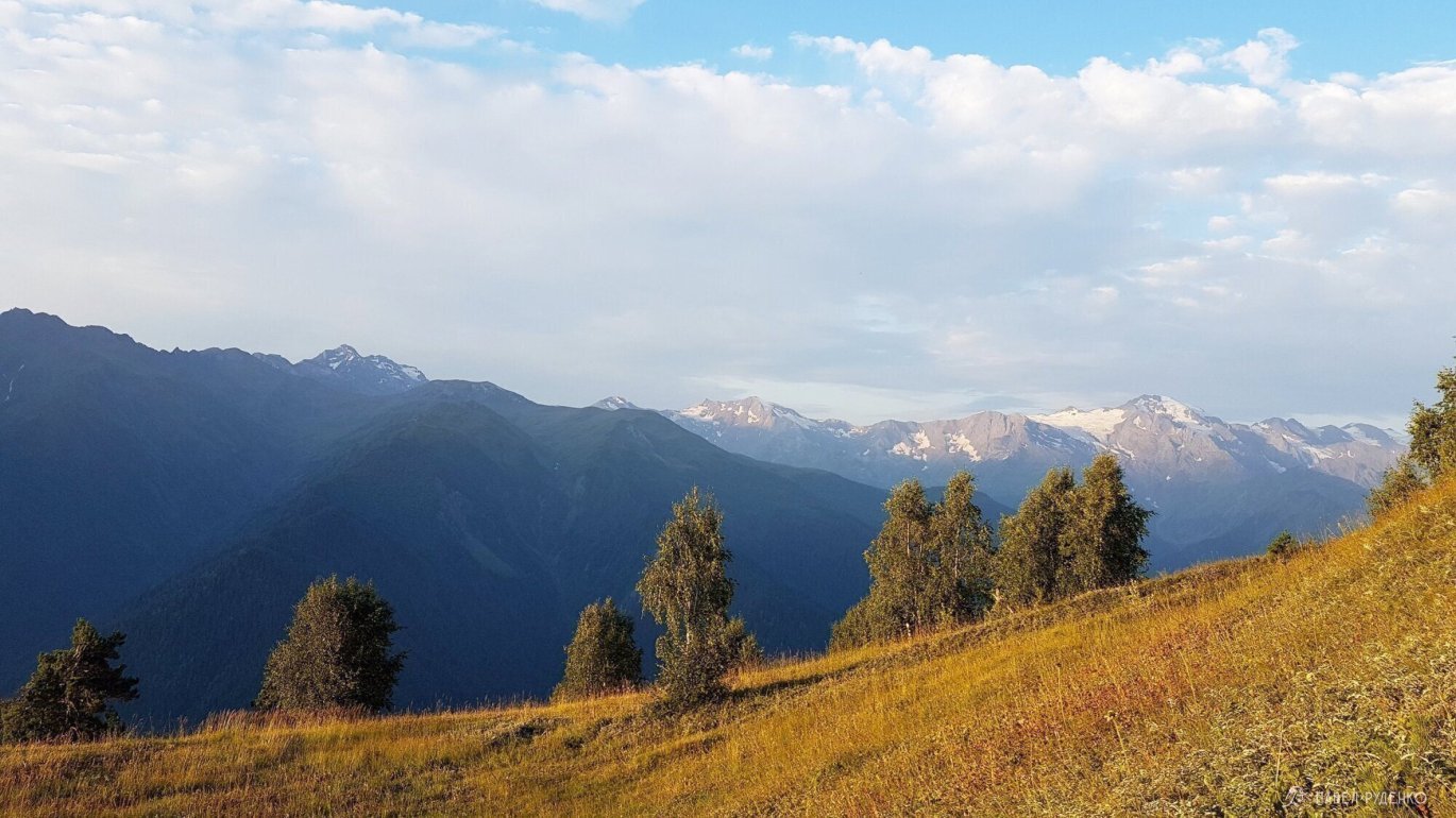
Up above, there is a view of the Caucasian Range, on cloudless days, Mount Elbrus can be seen.
To Koruldi Lakes
- One-day trek from Mestia to Koruldi Lakes, with an option to spend the night in a tent.
- Elevation gain: 1250m.
- Highest point: 2700m.
- Distance: from Mestia to the lakes 9 km.
Right from the city, the trail begins and sharply goes up. The trek is very popular and beautiful.

If you have any questions, write in private message.
Also check other articles about Svaneti:


